Elevation of S Bolivar Rd, Bolivar, NY, USA
Location: United States > New York > Allegany County > Bolivar > Bolivar >
Longitude: -78.115295
Latitude: 42.005429
Elevation: 468m / 1535feet
Barometric Pressure: 96KPa
Elevation Map:
Satellite Map:
Related Photos:

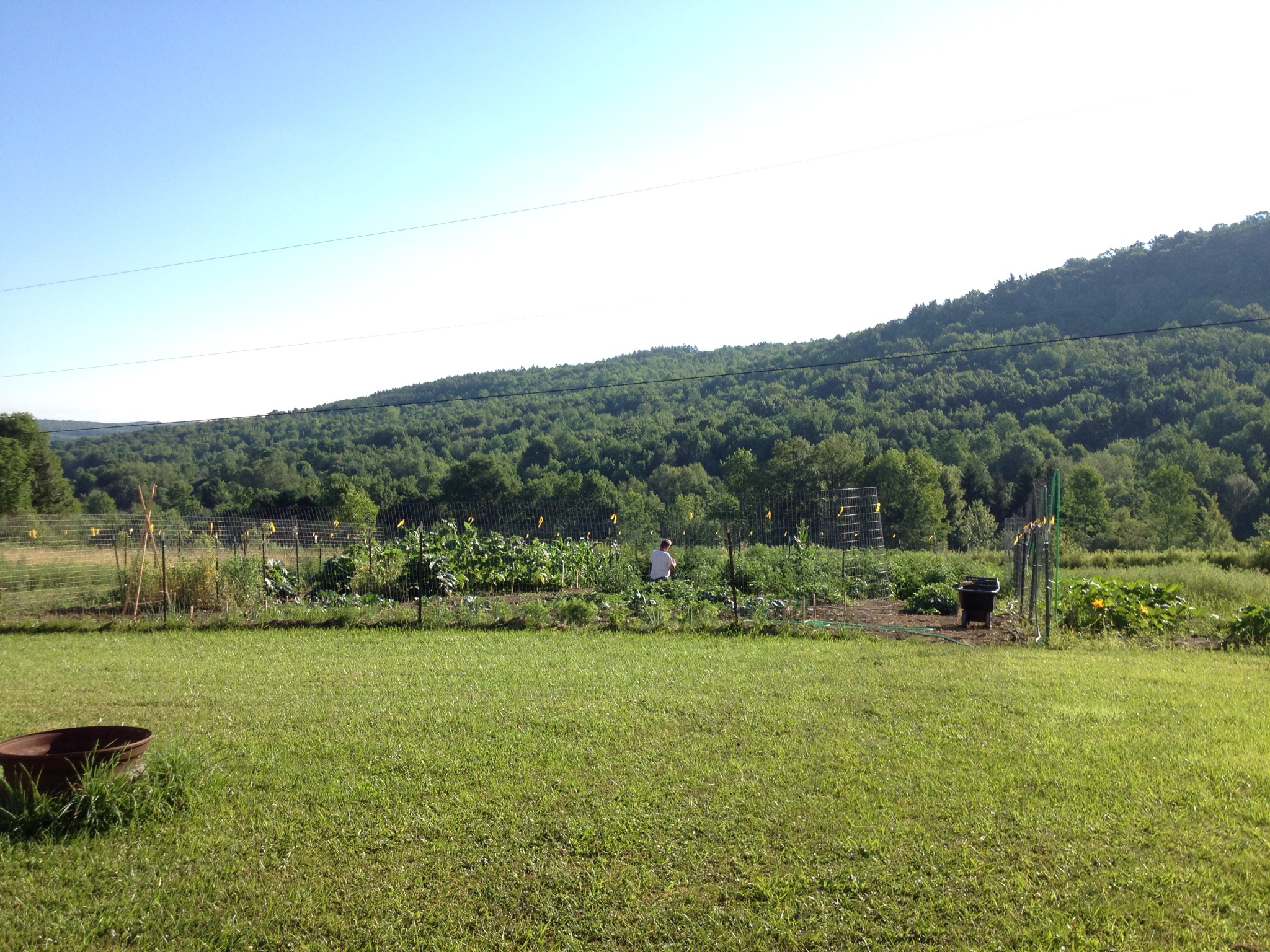
Field View
view of the hills

Loving these clouds! #igaddict #igaddicts #igers #iphonephotography #iphonegraphy #iphoneonly #sky #clouds #skyporn #cloudporn #webstagram #skypainters #insta_sleep #trees #country

Sunset at the airport #2

Out for a Drive
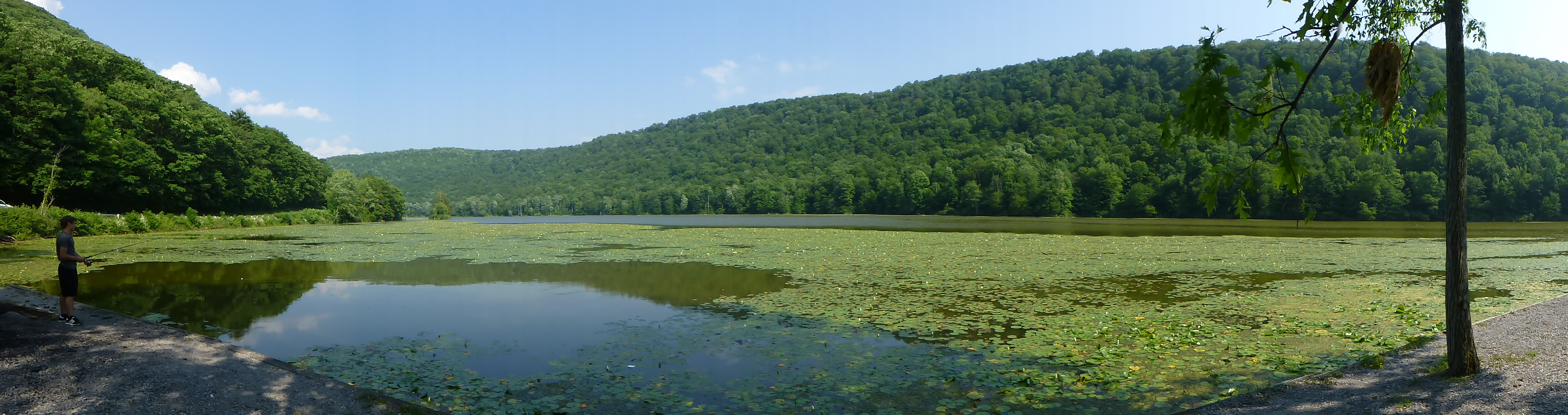
Alma Pond
Late summer garden
Late summer garden

Misty morning
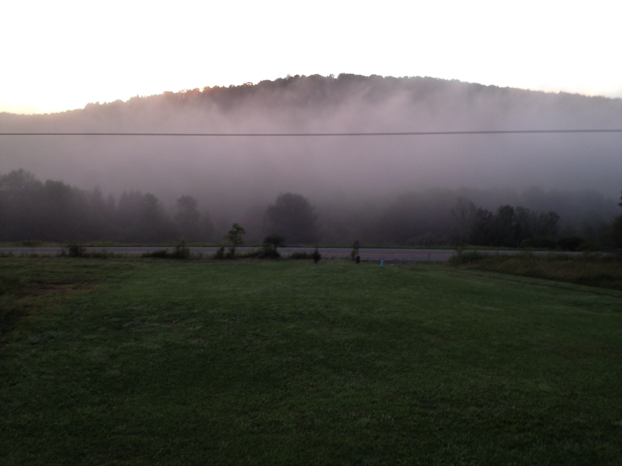
Misty morning

Misty morning

Another beautiful sunset in Wellsville
Topographic Map of S Bolivar Rd, Bolivar, NY, USA
Find elevation by address:

Places near S Bolivar Rd, Bolivar, NY, USA:
Bolivar
7553 Mead Hollow Rd
Alma
Homestead Rd, Bolivar, NY, USA
1199 Pa-44
Bolivar
Main St, Bolivar, NY, USA
Little Genesee
521 Clara Rd
Alma Hill Road
1200 Alma Hill Rd
Sanford Hollow Rd, Little Genesee, NY, USA
Church Hollow Road
Bells Run Road
Co Rd 34, Friendship, NY, USA
Clara Township
7556 Emerson Rd
Coon Hollow Road
4459 Niles Hill Rd
Ceres Township
Recent Searches:
- Elevation of Corso Fratelli Cairoli, 35, Macerata MC, Italy
- Elevation of Tallevast Rd, Sarasota, FL, USA
- Elevation of 4th St E, Sonoma, CA, USA
- Elevation of Black Hollow Rd, Pennsdale, PA, USA
- Elevation of Oakland Ave, Williamsport, PA, USA
- Elevation of Pedrógão Grande, Portugal
- Elevation of Klee Dr, Martinsburg, WV, USA
- Elevation of Via Roma, Pieranica CR, Italy
- Elevation of Tavkvetili Mountain, Georgia
- Elevation of Hartfords Bluff Cir, Mt Pleasant, SC, USA