Elevation of S Bloomfield Dr, Washington, UT, USA
Location: United States > Utah > Washington County > Washington >
Longitude: -113.51226
Latitude: 37.085157
Elevation: 801m / 2628feet
Barometric Pressure: 92KPa
Elevation Map:
Satellite Map:
Related Photos:

Anasazi Shadows

Another View

Pearly Whites for the Dinosaur Enthusiast!
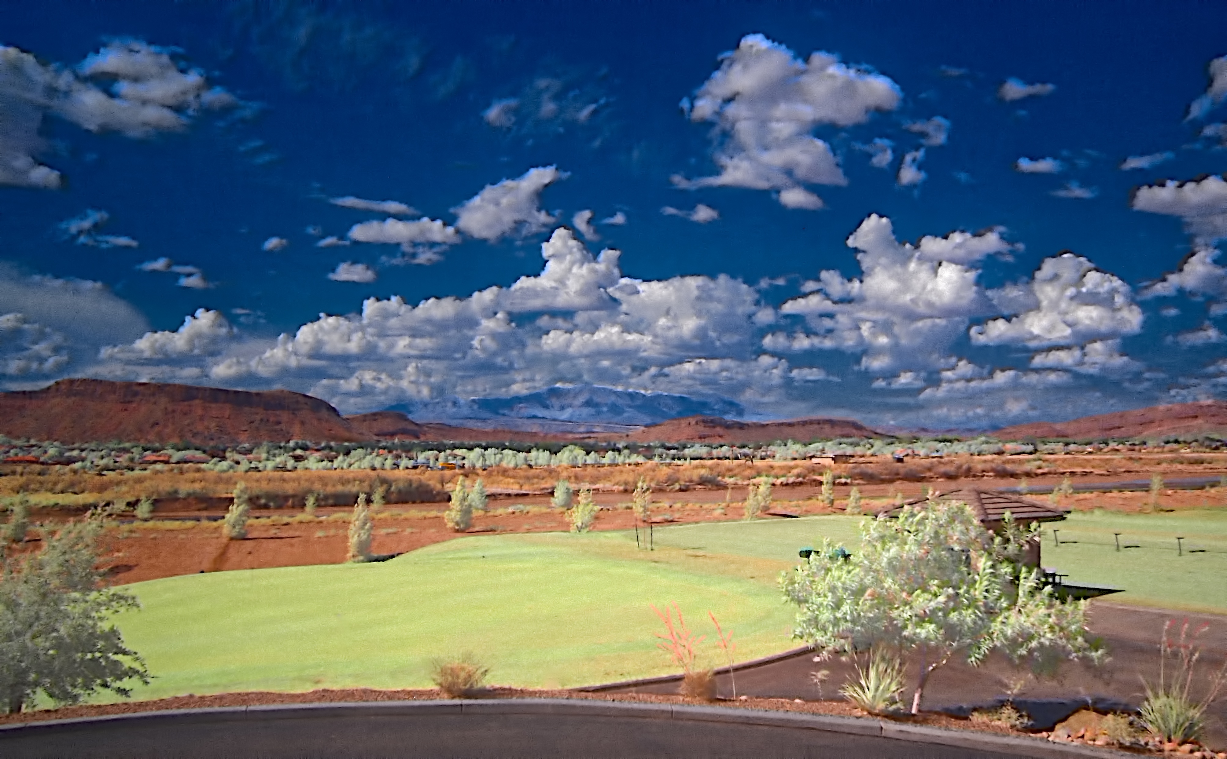
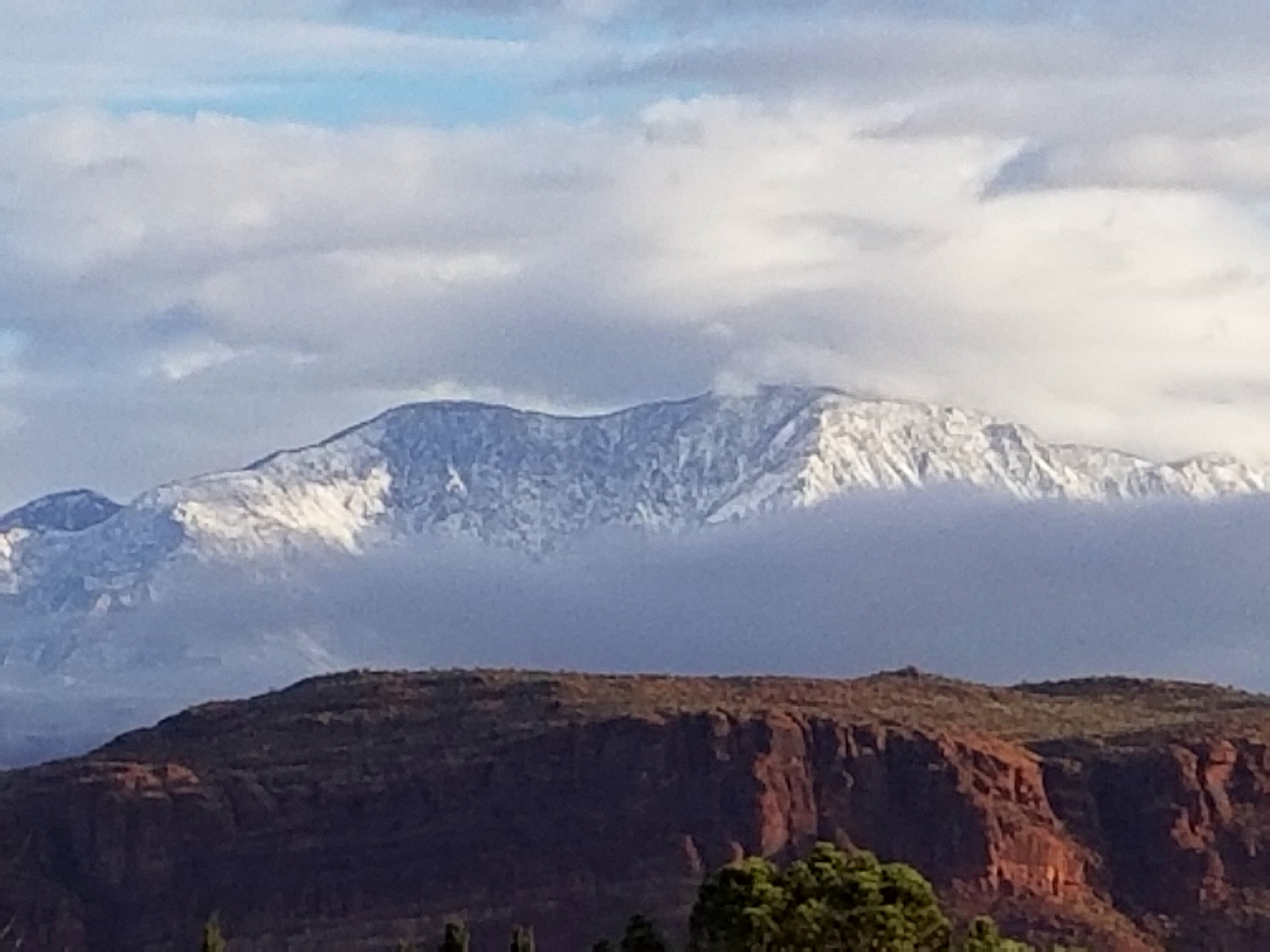
Sunny Afternoon
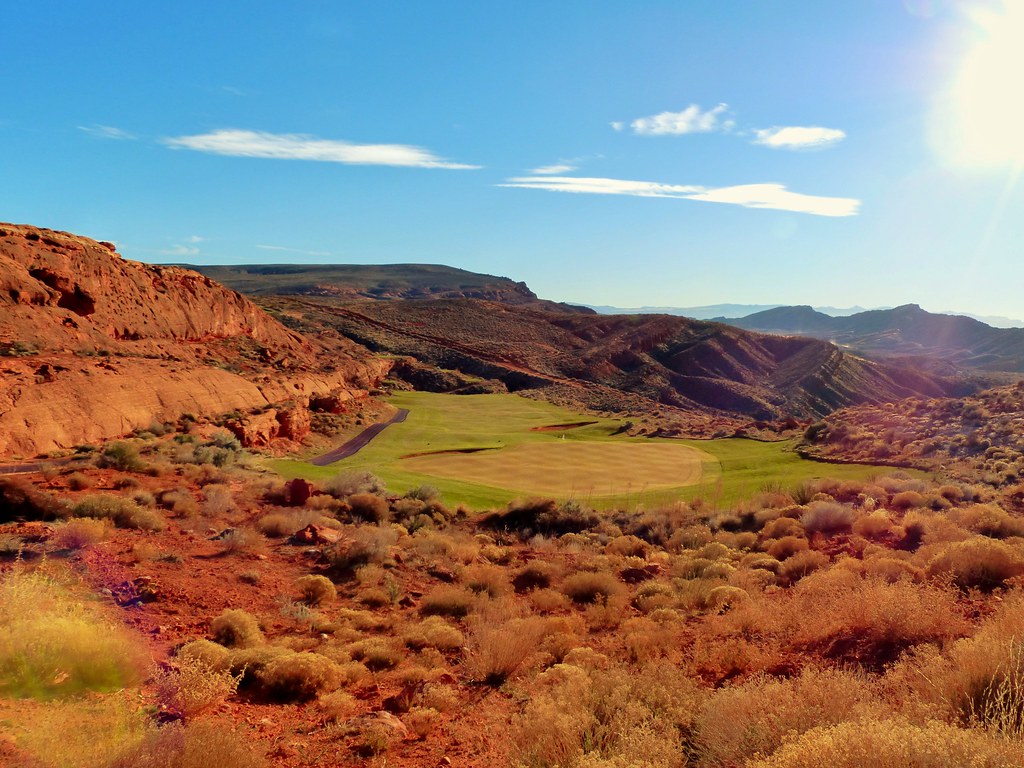
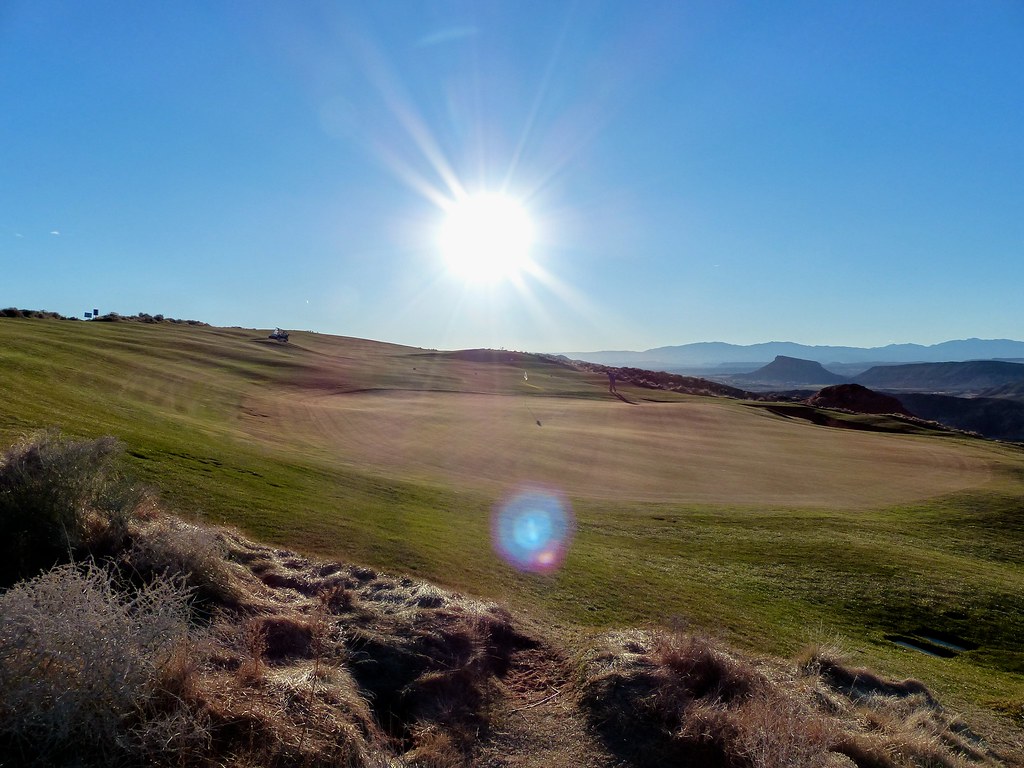
Sand Hollow #12 h = view back to fairway b r
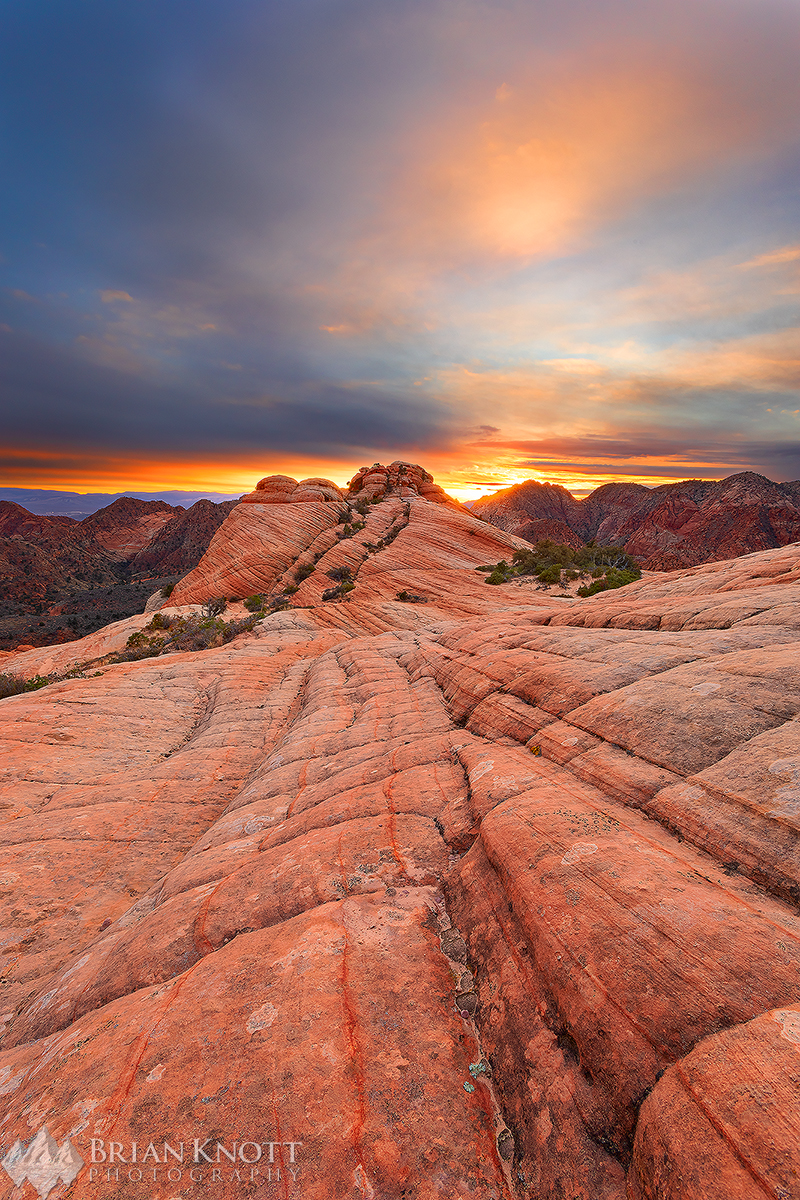
Dragon's Tail Sunset
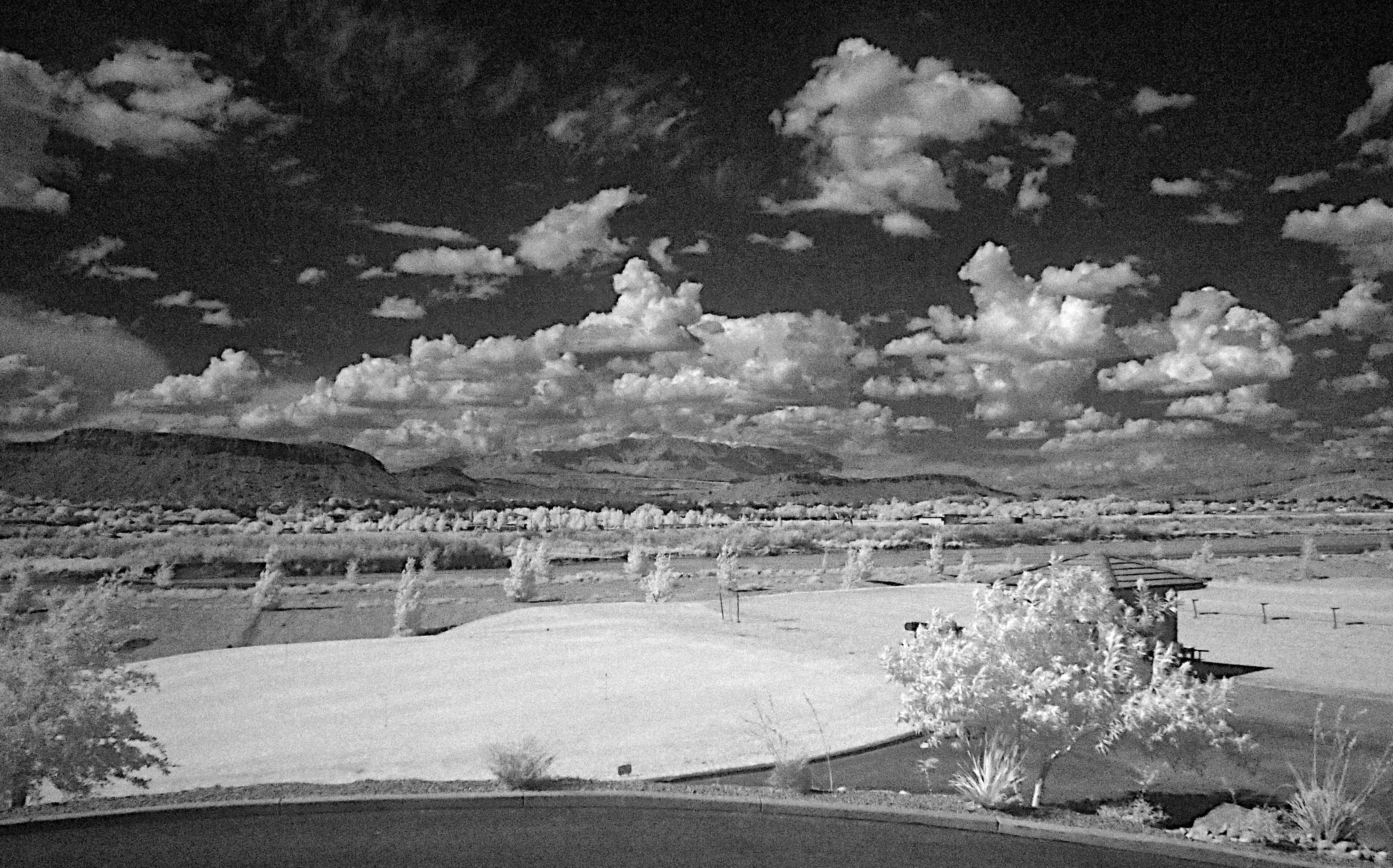
Sunny afternoon
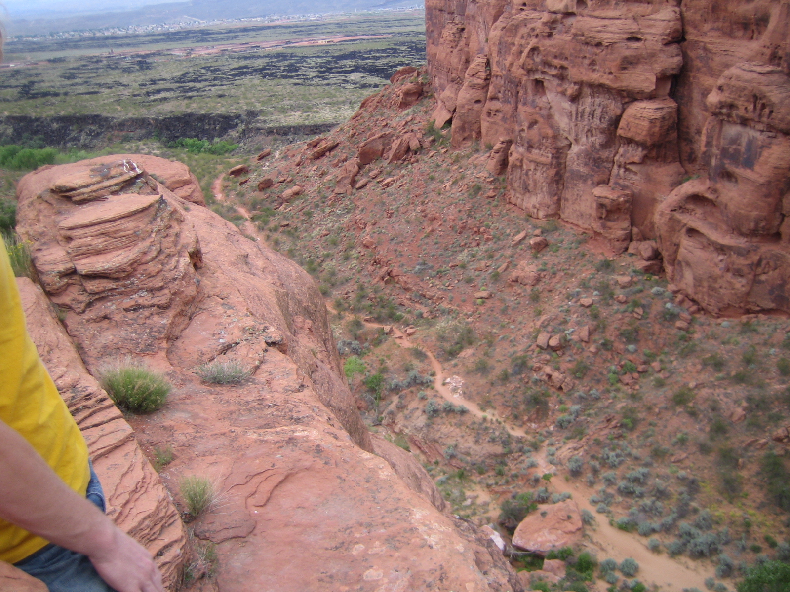
Johnson's Arch 049

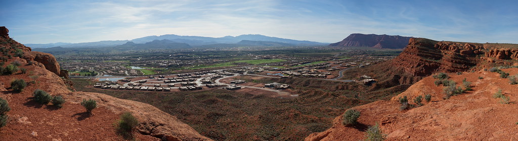
Ken and Alicia, View of St. George from Dixie Rock, Red Cliffs National Conservation Area, Near St. George, Utah

Sunrise over SunRiver
View from my Front Balcony
a place to get lost
Afternoon out the window

Houses on the bench
The View
Virgin river from Reflections Park
Views from Red Mountain Resort & Spa
Zen Wall right
Sand Hollow #14 d - view back r

Quail Creek Reservior
On the Road to St. George
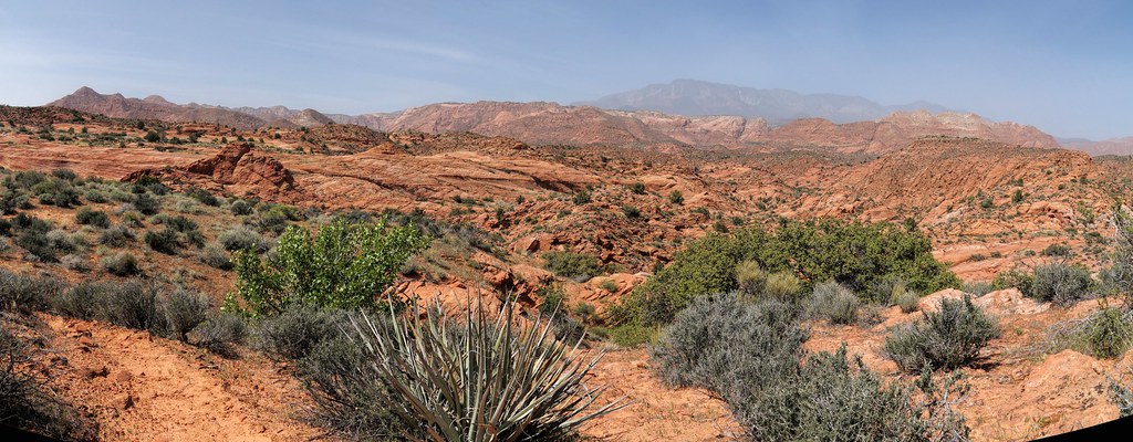
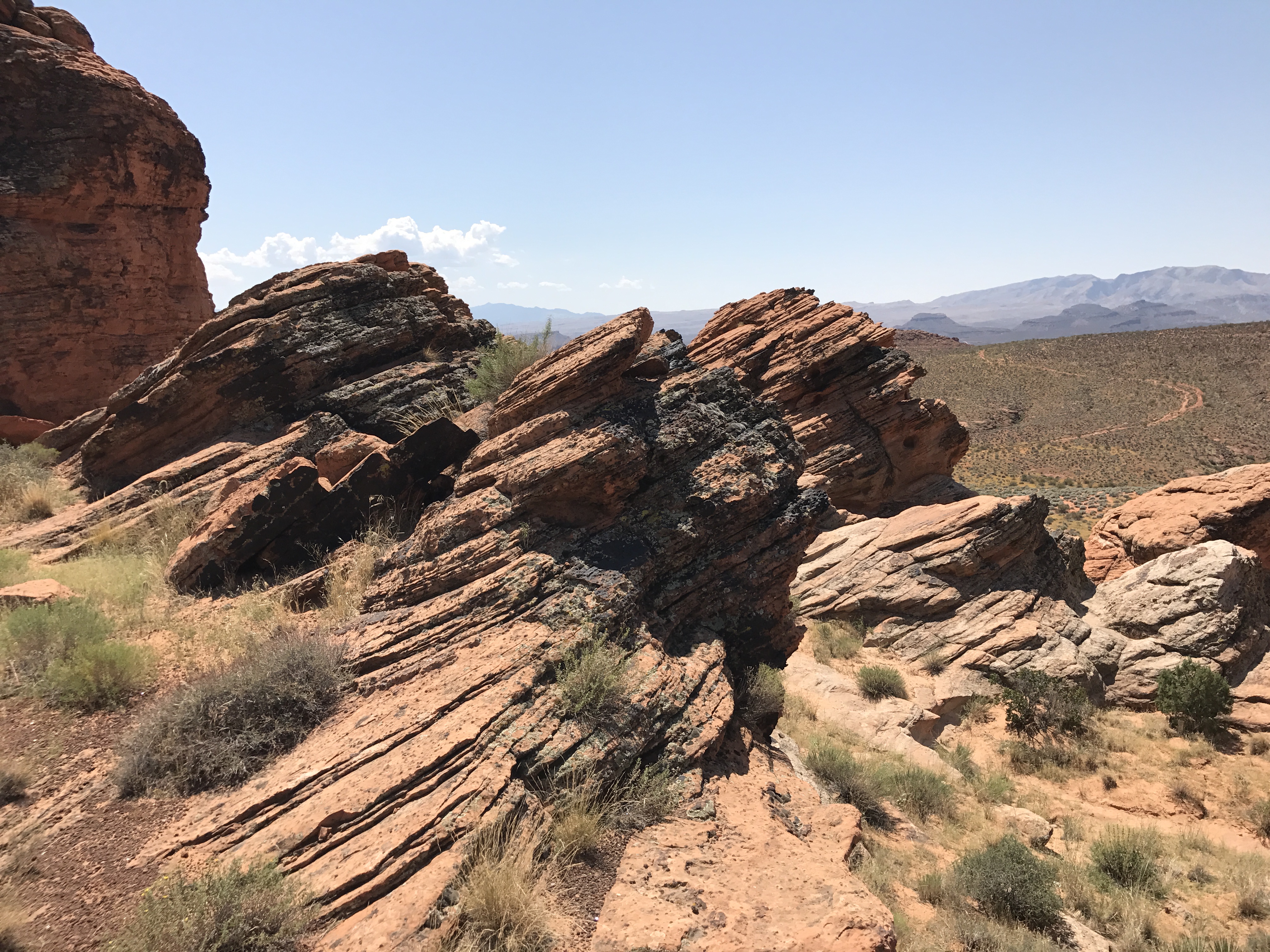
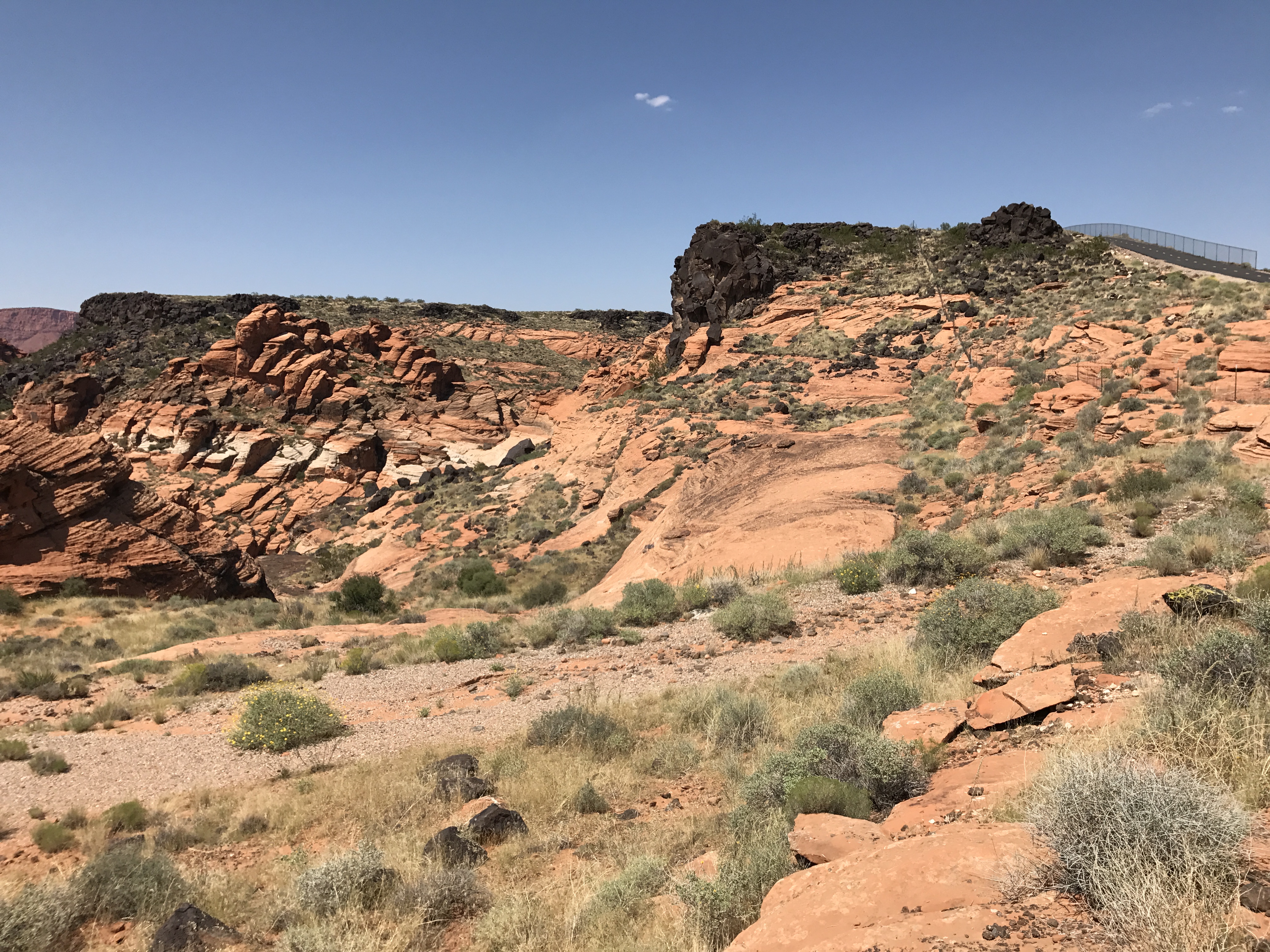
Yant Flat
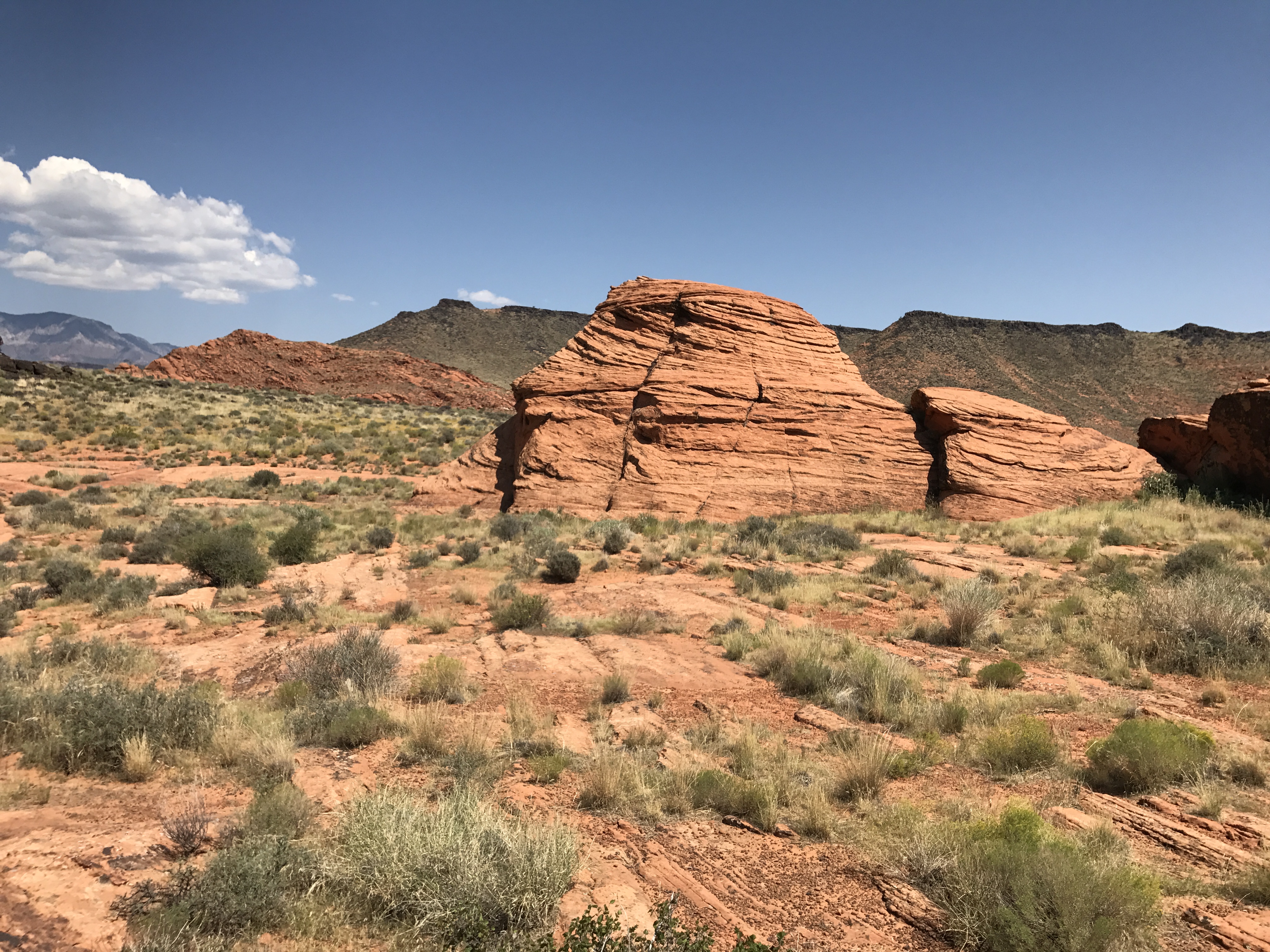
Red Rock

In the middle of a hurricane
2018-02-13_09-29-26
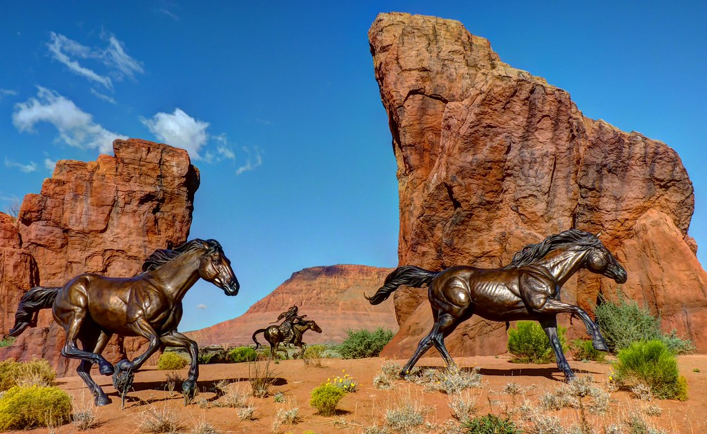
Roundabout Sculpture

Airport Road. St. George, Utah

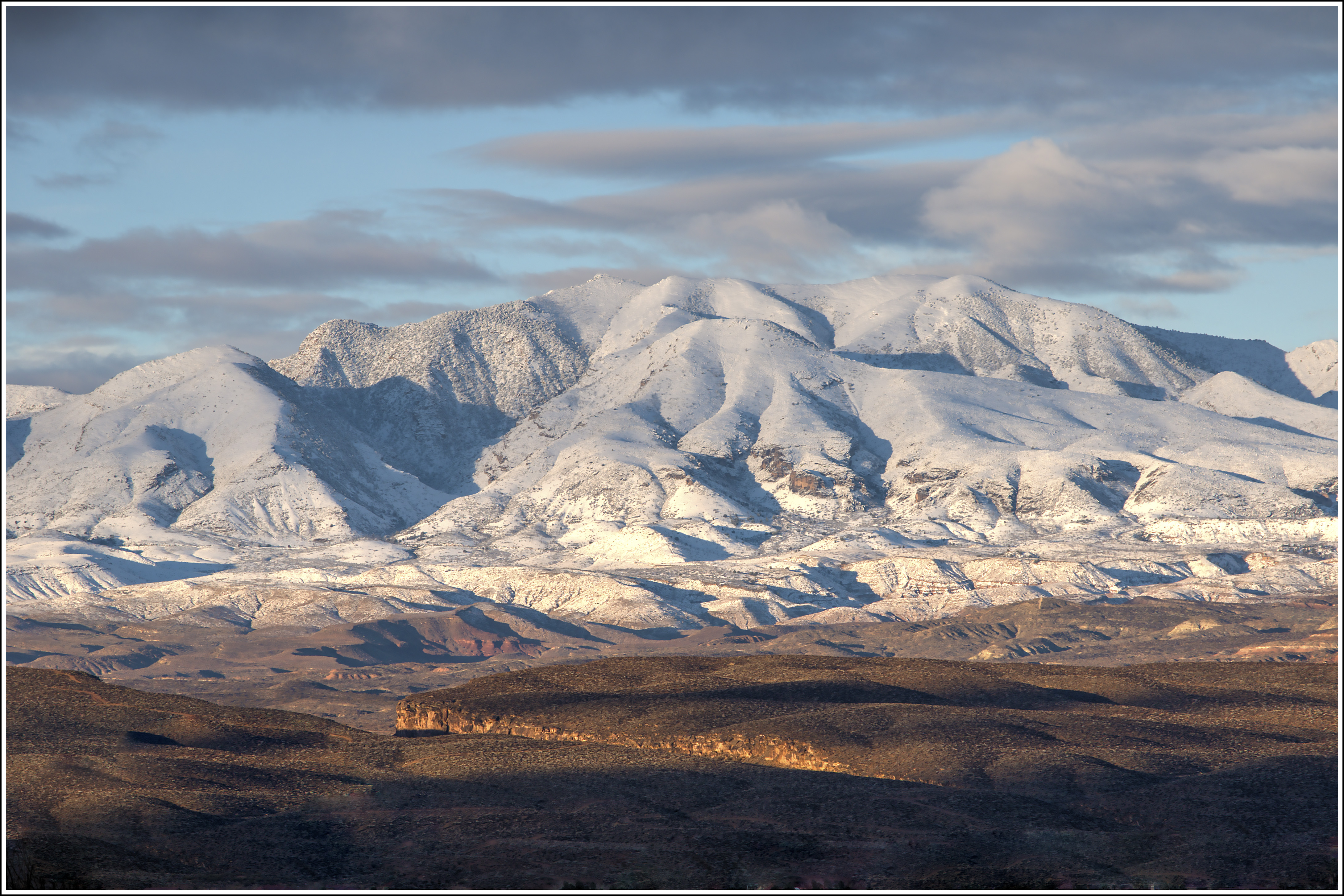
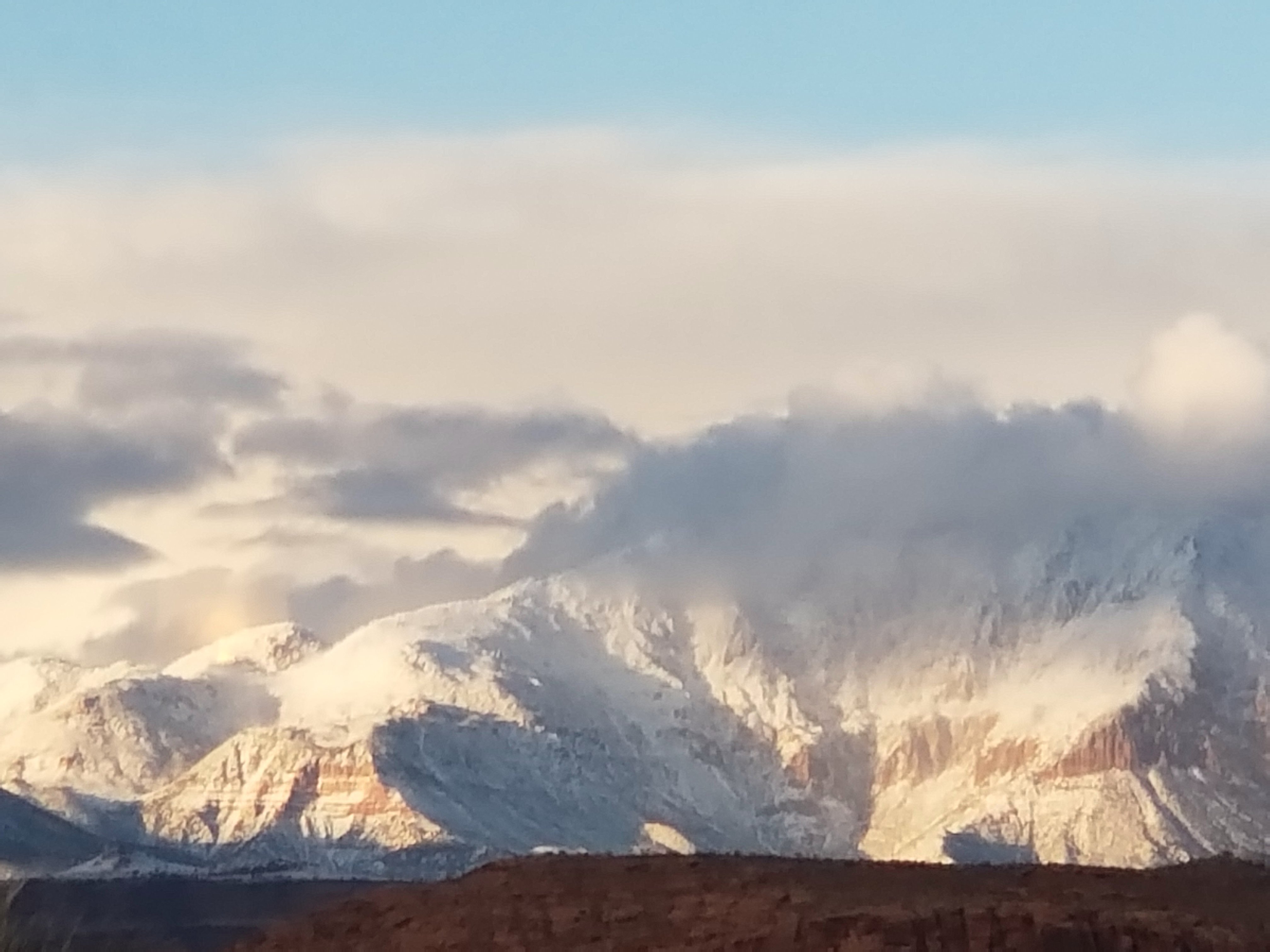
Pinevalley Mountain
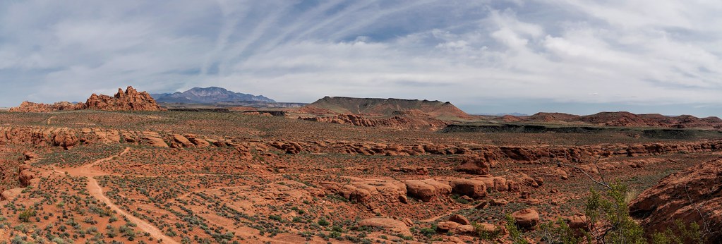
Movie Rocks

Movie Rocks
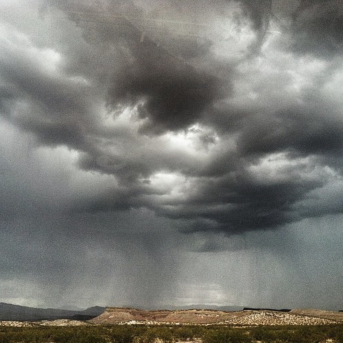
Rain clouds. #travel #nature #clouds #rain #snapseed #cloudporn #landscape
2019-02-07_05-36-17

Movie Rocks

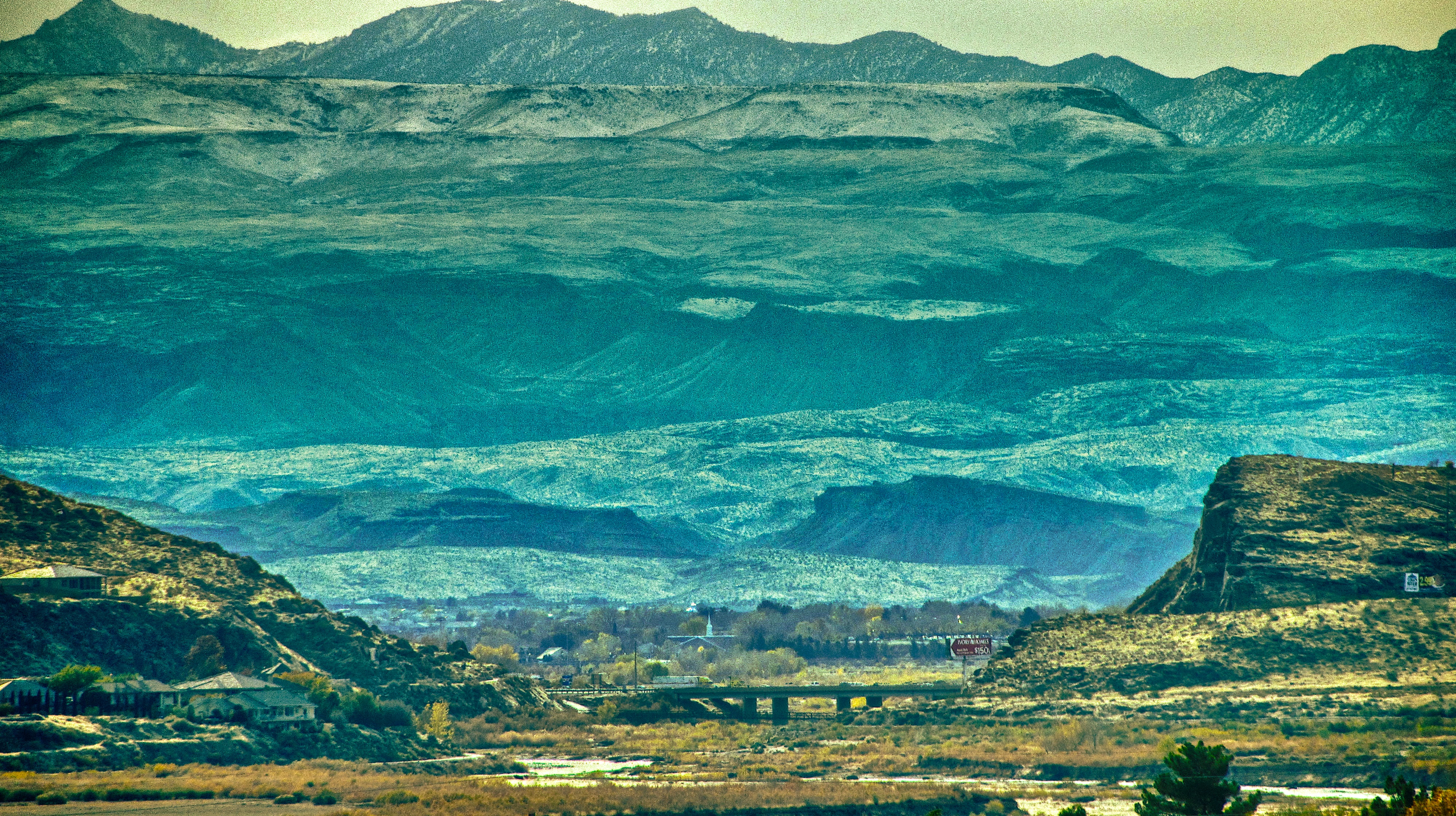
W.C. St. George, Utah
Santa Clara
Movie Rocks
Movie Rocks
lunch spot, undevelopment
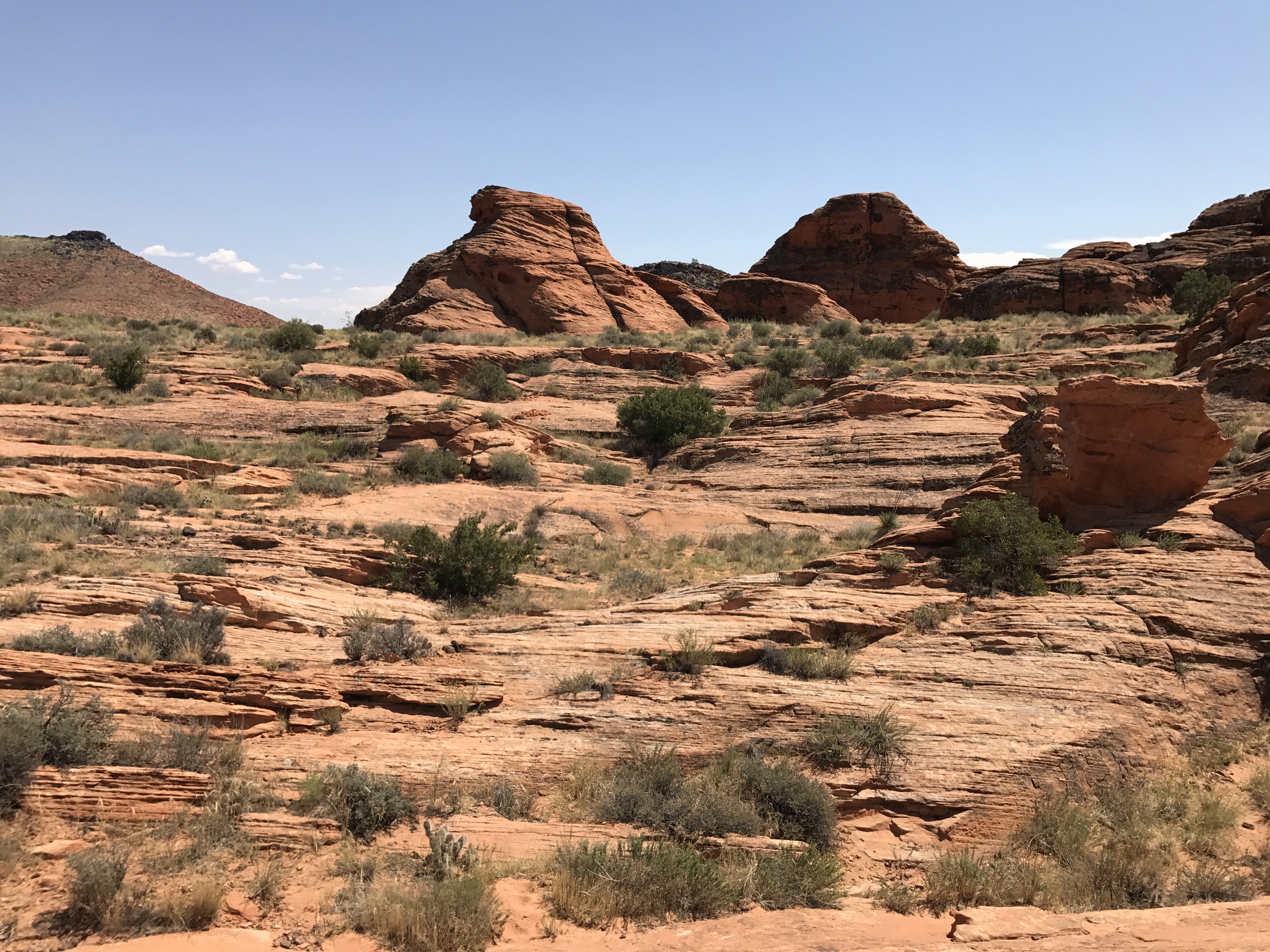
Movie Rocks
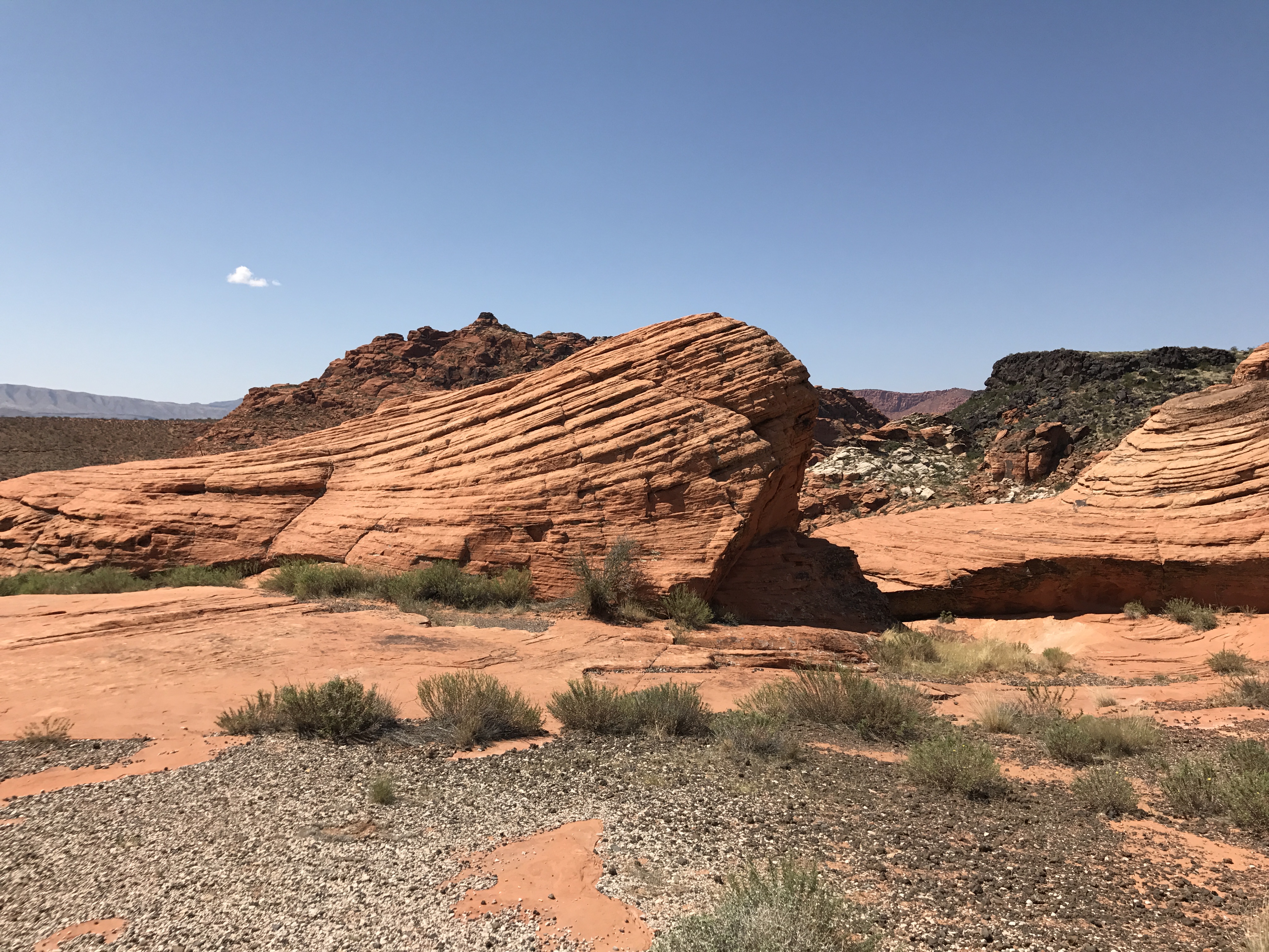
Movie Rocks
Topographic Map of S Bloomfield Dr, Washington, UT, USA
Find elevation by address:

Places near S Bloomfield Dr, Washington, UT, USA:
1000 E Silver Shadows Dr
2489 2150 S Cir
2990 E Riverside Dr
3172 Deseret Dr
109 N 2790 E
2396 E 50 S
2132 Pinnacle Cir
2132 Pinnacle Cir
514 S 1990 E St
2435 E 350 N
138 S Arroyo Dr
230 N 1680 E
Washington
E Telegraph St, Washington, UT, USA
158 N Main St
1090 E 700 S
1030 N 1800 E
Dixie State University Athletics
St. George
2346 Kaibab Cir
Recent Searches:
- Elevation of Corso Fratelli Cairoli, 35, Macerata MC, Italy
- Elevation of Tallevast Rd, Sarasota, FL, USA
- Elevation of 4th St E, Sonoma, CA, USA
- Elevation of Black Hollow Rd, Pennsdale, PA, USA
- Elevation of Oakland Ave, Williamsport, PA, USA
- Elevation of Pedrógão Grande, Portugal
- Elevation of Klee Dr, Martinsburg, WV, USA
- Elevation of Via Roma, Pieranica CR, Italy
- Elevation of Tavkvetili Mountain, Georgia
- Elevation of Hartfords Bluff Cir, Mt Pleasant, SC, USA