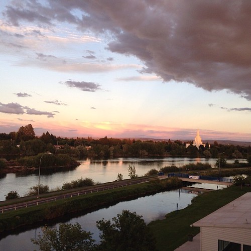
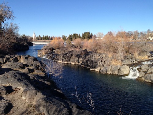
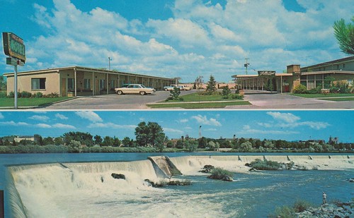
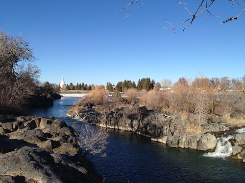
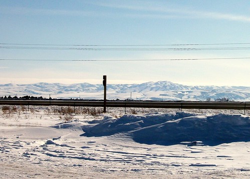
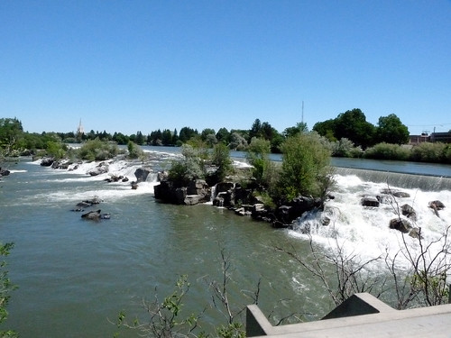
Elevation of S Bellin Rd, Idaho Falls, ID, USA
Location: United States > Idaho > Bonneville County > Idaho Falls >
Longitude: -112.08272
Latitude: 43.48005
Elevation: 1434m / 4705feet
Barometric Pressure: 85KPa
Related Photos:
Topographic Map of S Bellin Rd, Idaho Falls, ID, USA
Find elevation by address:

Places near S Bellin Rd, Idaho Falls, ID, USA:
Idaho Falls
Stone Run Ln, Idaho Falls, ID, USA
Idaho National Laboratory
2351 N Blvd
Idaho Falls School District #91
900 John Adams Pkwy
1505 Ponderosa Dr
1120 Cathryn Ave
930 E Lincoln Rd
5740 Gleneagles Dr
1367 Homer Ave
695 Ruth Ave
1800 E 49th S #7654
Sandy Downs Arena
Kohler Way, Idaho Falls, ID, USA
N 35th W, Idaho Falls, ID, USA
N River Rd, Idaho Falls, ID, USA
2740 Central Ave
Ammon
3456 E 17th St
Recent Searches:
- Elevation of Corso Fratelli Cairoli, 35, Macerata MC, Italy
- Elevation of Tallevast Rd, Sarasota, FL, USA
- Elevation of 4th St E, Sonoma, CA, USA
- Elevation of Black Hollow Rd, Pennsdale, PA, USA
- Elevation of Oakland Ave, Williamsport, PA, USA
- Elevation of Pedrógão Grande, Portugal
- Elevation of Klee Dr, Martinsburg, WV, USA
- Elevation of Via Roma, Pieranica CR, Italy
- Elevation of Tavkvetili Mountain, Georgia
- Elevation of Hartfords Bluff Cir, Mt Pleasant, SC, USA
