Elevation of S Banana River Dr, Merritt Island, FL, USA
Location: United States > Florida > Brevard County > Merritt Island >
Longitude: -80.659634
Latitude: 28.3274736
Elevation: 2m / 7feet
Barometric Pressure: 101KPa
Elevation Map:
Satellite Map:
Related Photos:
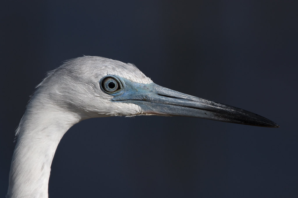
_D2_1487.jpg

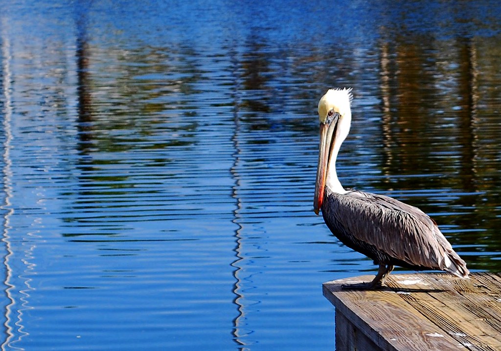
_M4_5066.jpg
Pretty Day .............

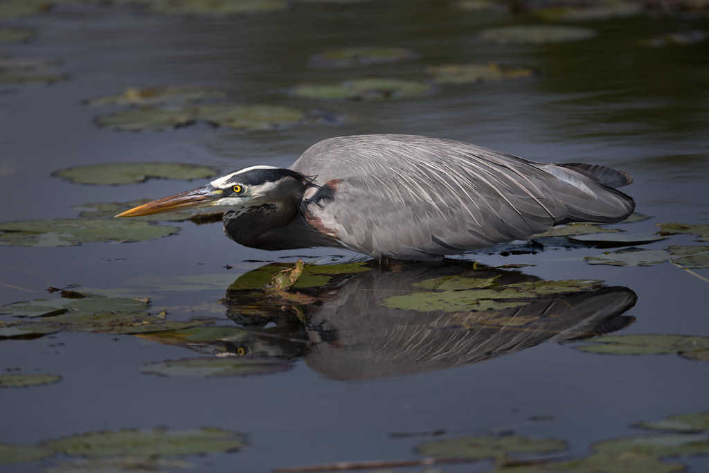
_D2_2650.jpg
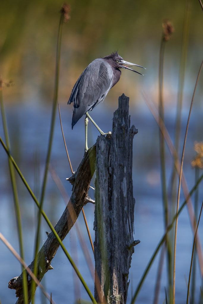
_M4_5111.jpg
_M4_3913.jpg
_M4_3990.jpg

_D2_1210.jpg

_M4_6501.jpg

_M4_3867.jpg
_M4_8340.jpg

_M4_0859.jpg
_RDX4995.jpg

_M4_0947.jpg
_M4_3890.jpg
_M4_4269.jpg
_M4_9259.jpg
_M4_5397.jpg

_D2_8683.jpg
_M4_3495.jpg
_M4_3029.jpg
Topographic Map of S Banana River Dr, Merritt Island, FL, USA
Find elevation by address:

Places near S Banana River Dr, Merritt Island, FL, USA:
Harbor Colony
1735 Newfound Harbor Dr
2030 Newfound Harbor Dr
Fowlers
1245 Faulkingham Rd
1110 S Banana River Dr
1234 Faulkingham Rd
Merritt Island
Horti
S Banana River Dr, Merritt Island, FL, USA
Angell City
Cocoa Isles Country Club
43 Country Club Rd
2913 Newfound Harbor Dr
47 Country Club Rd
2140 S Courtenay Pkwy
2500 S Courtenay Pkwy
3155 Newfound Harbor Dr
South Merritt Estates Pineland
788 Watermill Dr
Recent Searches:
- Elevation of Corso Fratelli Cairoli, 35, Macerata MC, Italy
- Elevation of Tallevast Rd, Sarasota, FL, USA
- Elevation of 4th St E, Sonoma, CA, USA
- Elevation of Black Hollow Rd, Pennsdale, PA, USA
- Elevation of Oakland Ave, Williamsport, PA, USA
- Elevation of Pedrógão Grande, Portugal
- Elevation of Klee Dr, Martinsburg, WV, USA
- Elevation of Via Roma, Pieranica CR, Italy
- Elevation of Tavkvetili Mountain, Georgia
- Elevation of Hartfords Bluff Cir, Mt Pleasant, SC, USA