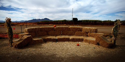
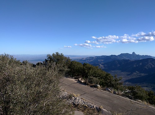
Elevation of S Baldwin Ln, Tucson, AZ, USA
Location: United States > Arizona > Pima County > Tucson >
Longitude: -111.27709
Latitude: 32.017086
Elevation: 945m / 3100feet
Barometric Pressure: 90KPa
Related Photos:
Topographic Map of S Baldwin Ln, Tucson, AZ, USA
Find elevation by address:

Places near S Baldwin Ln, Tucson, AZ, USA:
14530 W Hunt Rd
14241 W Stanford Rd #24
14241 W Stanford Rd #24
14241 W Stanford Rd #4
14241 W Stanford Rd #4
14241 W Stanford Rd #4
14241 W Stanford Rd #4
14241 W Stanford Rd #4
14241 W Stanford Rd #4
14241 W Stanford Rd
Mira Bell
14146 S Justice Ave
11195 S Colt Dr #204
11195 S Colt Dr #204
16342 W Pinacate Ave #196
14042 S Poston Pl #262
11000 S Stagecoach Rd #224
14060 Canelo Ave #269
14060 Canelo Ave #269
14060 Canelo Ave #269
Recent Searches:
- Elevation of Corso Fratelli Cairoli, 35, Macerata MC, Italy
- Elevation of Tallevast Rd, Sarasota, FL, USA
- Elevation of 4th St E, Sonoma, CA, USA
- Elevation of Black Hollow Rd, Pennsdale, PA, USA
- Elevation of Oakland Ave, Williamsport, PA, USA
- Elevation of Pedrógão Grande, Portugal
- Elevation of Klee Dr, Martinsburg, WV, USA
- Elevation of Via Roma, Pieranica CR, Italy
- Elevation of Tavkvetili Mountain, Georgia
- Elevation of Hartfords Bluff Cir, Mt Pleasant, SC, USA


