Elevation of S 2nd St, Keokuk, IA, USA
Location: United States > Iowa > Lee County > Keokuk >
Longitude: -91.382160
Latitude: 40.3919366
Elevation: 170m / 558feet
Barometric Pressure: 99KPa
Elevation Map:
Satellite Map:
Related Photos:

PH5000.14

Keokuk Lock and Dam- Keokuk IA (2)

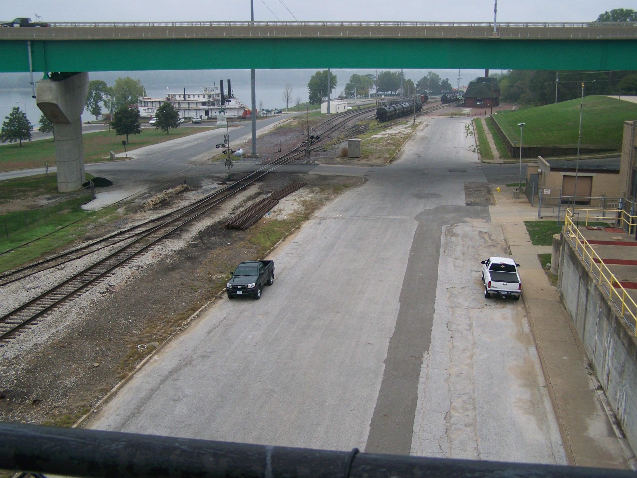
Keokuk Rail Bridge

Mississippi River at Keokuk IA (5)

Mississippi River at Keokuk IA (3)
Mississippi River at Keokuk IA (4)

Mississippi River and Nauvoo View (Montrose, Iowa)

Keokuk Lock and Dam & Rail Bridge, Keokuk, IA

Keokuk Rail Bridge Observation Deck, Keokuk, IA

Mississippi River, Keokuk (Iowa), 15 August 2013

Keokuk Rail Bridge Observation Deck, Keokuk, IA (2)

Carthage Illinois Historic Marker, Carthage, IL

Stormy Day at Montrose

Solitude Beneath the Burning Sky

Flying from MCI to Providence, Rhode Island

Flying from MCI to Providence, Rhode Island

Flying from MCI to Providence, Rhode Island
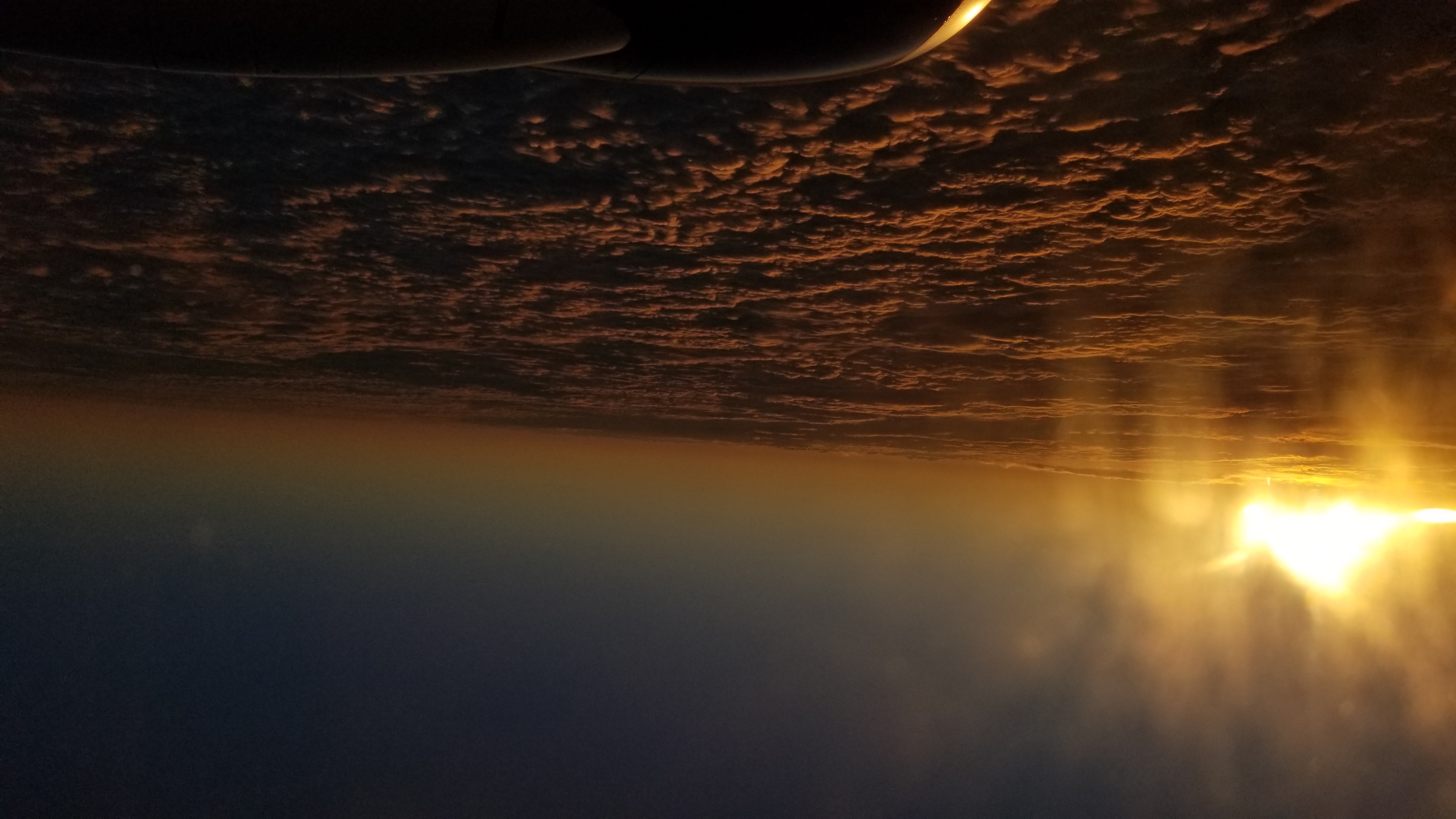
Flying from MCI to Providence, Rhode Island

Sunset Over Keokuk

Stormy Day on the River
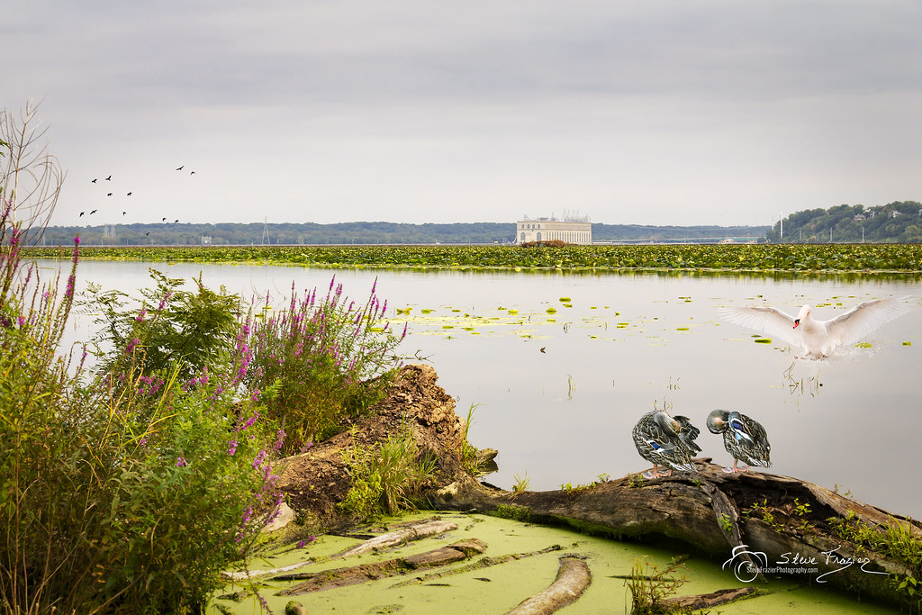
September on the River

Waters Mysterious

Waterfall at David's Chamber

Lock and Dam No. 19

Mississippi River near Hamilton, Illinois

Lovely Stretch Along Illinois Route 96 (The Great River Road), Near Hamilton, Illinois

Mississippi River

Jacob's Creek

before breakfast

Davis Frozen Falls
Topographic Map of S 2nd St, Keokuk, IA, USA
Find elevation by address:

Places near S 2nd St, Keokuk, IA, USA:
Mississippi Drive
Grand Avenue
Keokuk
Frank
Hamilton
Montebello Township
Co Hwy 11, Warsaw, IL, USA
Basco
Basco
Basco
Basco
15 A N County Rd, Basco, IL, USA
Bear Creek Township
Bear Creek Township
Bear Creek Township
Bear Creek Township
Hancock County
Carthage
N Madison St, Carthage, IL, USA
Bentley Dr, Carthage, IL, USA
Recent Searches:
- Elevation of Corso Fratelli Cairoli, 35, Macerata MC, Italy
- Elevation of Tallevast Rd, Sarasota, FL, USA
- Elevation of 4th St E, Sonoma, CA, USA
- Elevation of Black Hollow Rd, Pennsdale, PA, USA
- Elevation of Oakland Ave, Williamsport, PA, USA
- Elevation of Pedrógão Grande, Portugal
- Elevation of Klee Dr, Martinsburg, WV, USA
- Elevation of Via Roma, Pieranica CR, Italy
- Elevation of Tavkvetili Mountain, Georgia
- Elevation of Hartfords Bluff Cir, Mt Pleasant, SC, USA