Elevation of S 13th St, LaFollette, TN, USA
Location: United States > Tennessee > Campbell County > Lafollette >
Longitude: -84.122630
Latitude: 36.3687612
Elevation: 367m / 1204feet
Barometric Pressure: 97KPa
Elevation Map:
Satellite Map:
Related Photos:

Campbell County, TN Courthouse - Jacksboro, TN

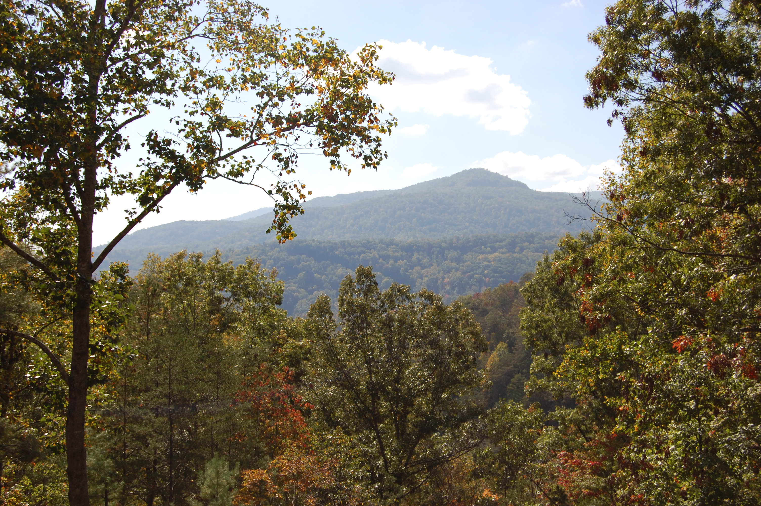
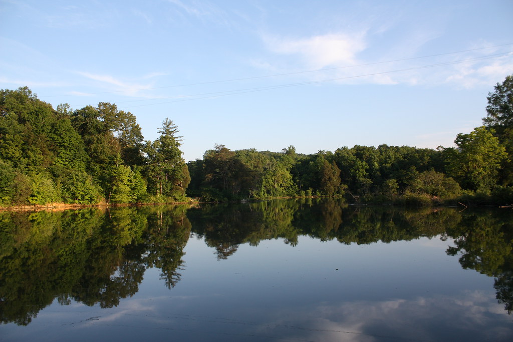
View Towards LaFollette

Thacker Christmas Inn & Restaurant

Lake View Motor Inn, Caryville, TN

Wild Geranium 139_3957

best dam view

Deck view

Campbell County TN Courthouse 1
The View from the Tasting Room
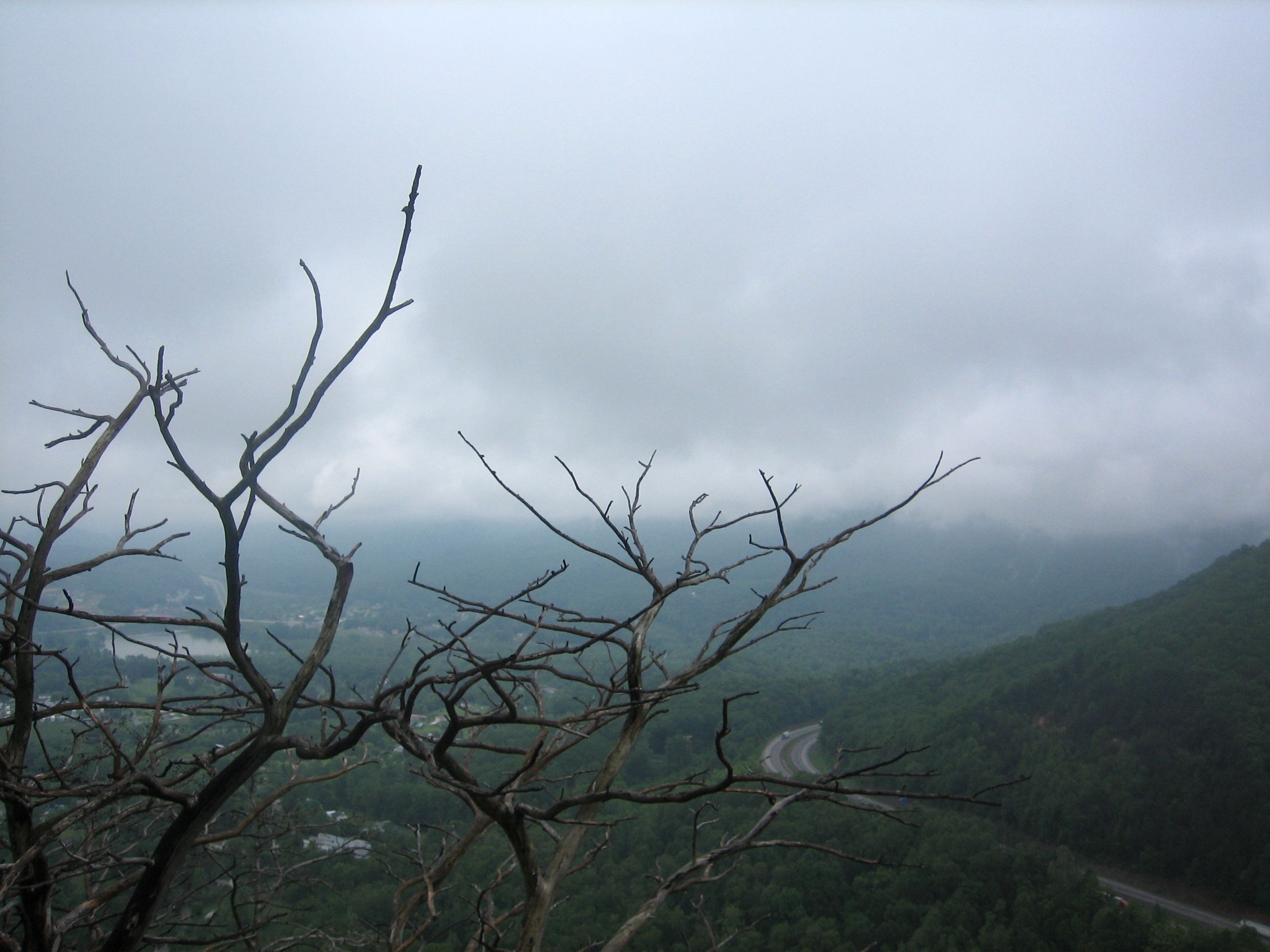
view from the top

18-256P

View from the deck
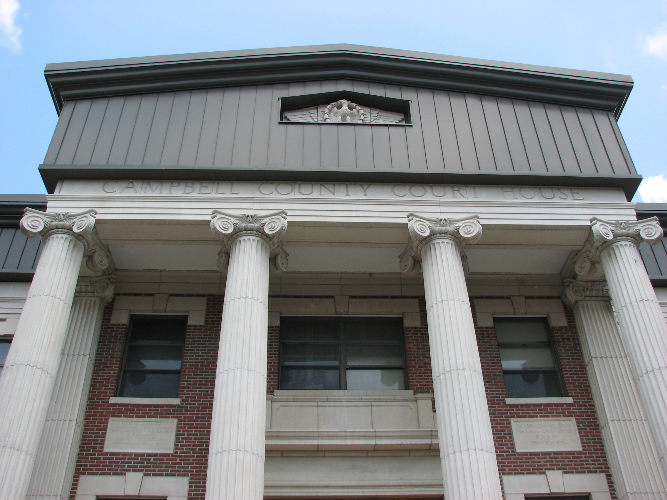
Campbell County TN Courthouse 4
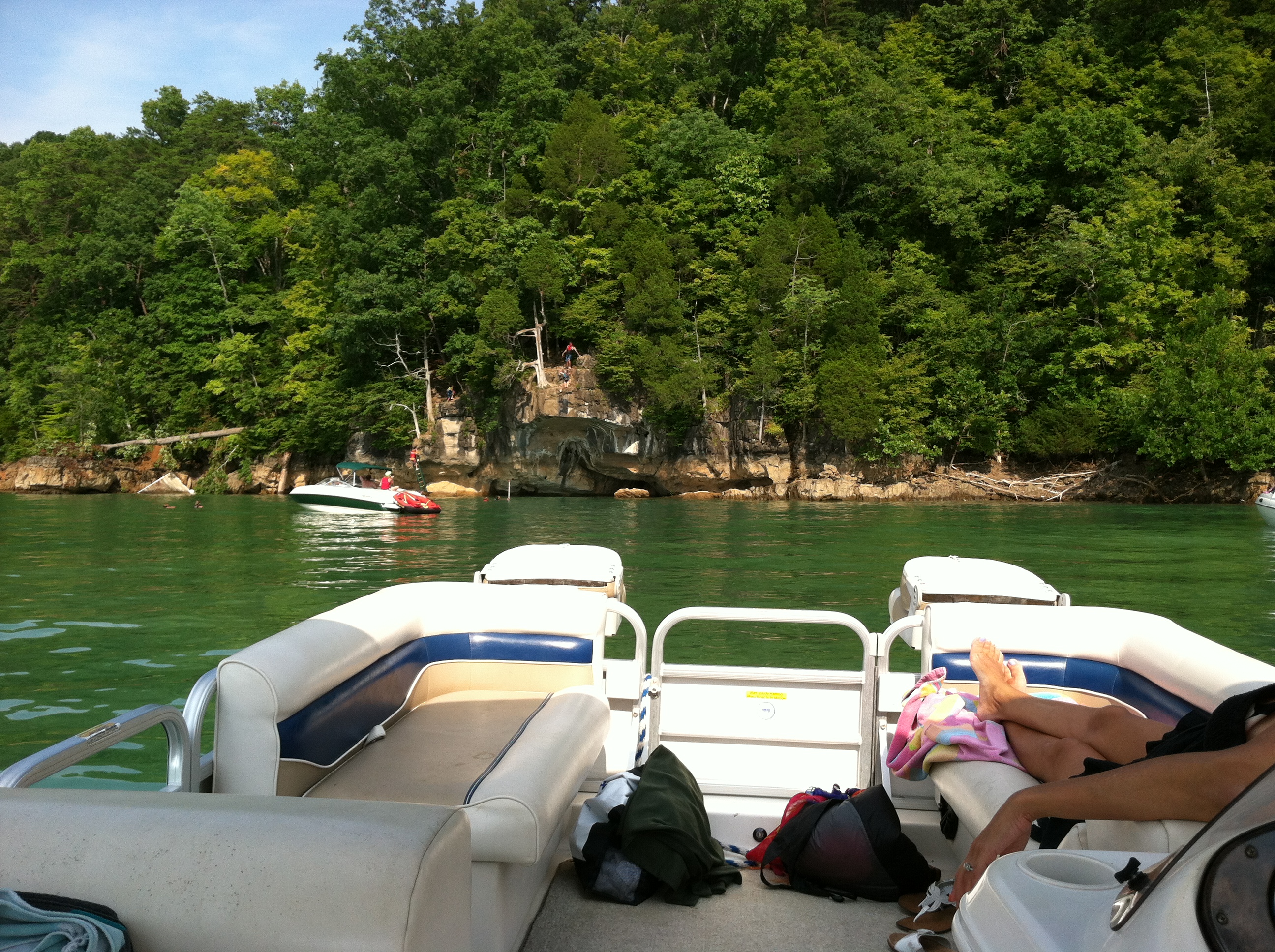
view from the boat

Cove Lake observation platform

Dragon View

18-257P

After biking the 5.4- mile Loyston Loop, we are enjoying the view + food at Sequoyah Marina!

18-255P

View from the crowd

Bruce Creek

Cove Lake State Park

Island on the Lake

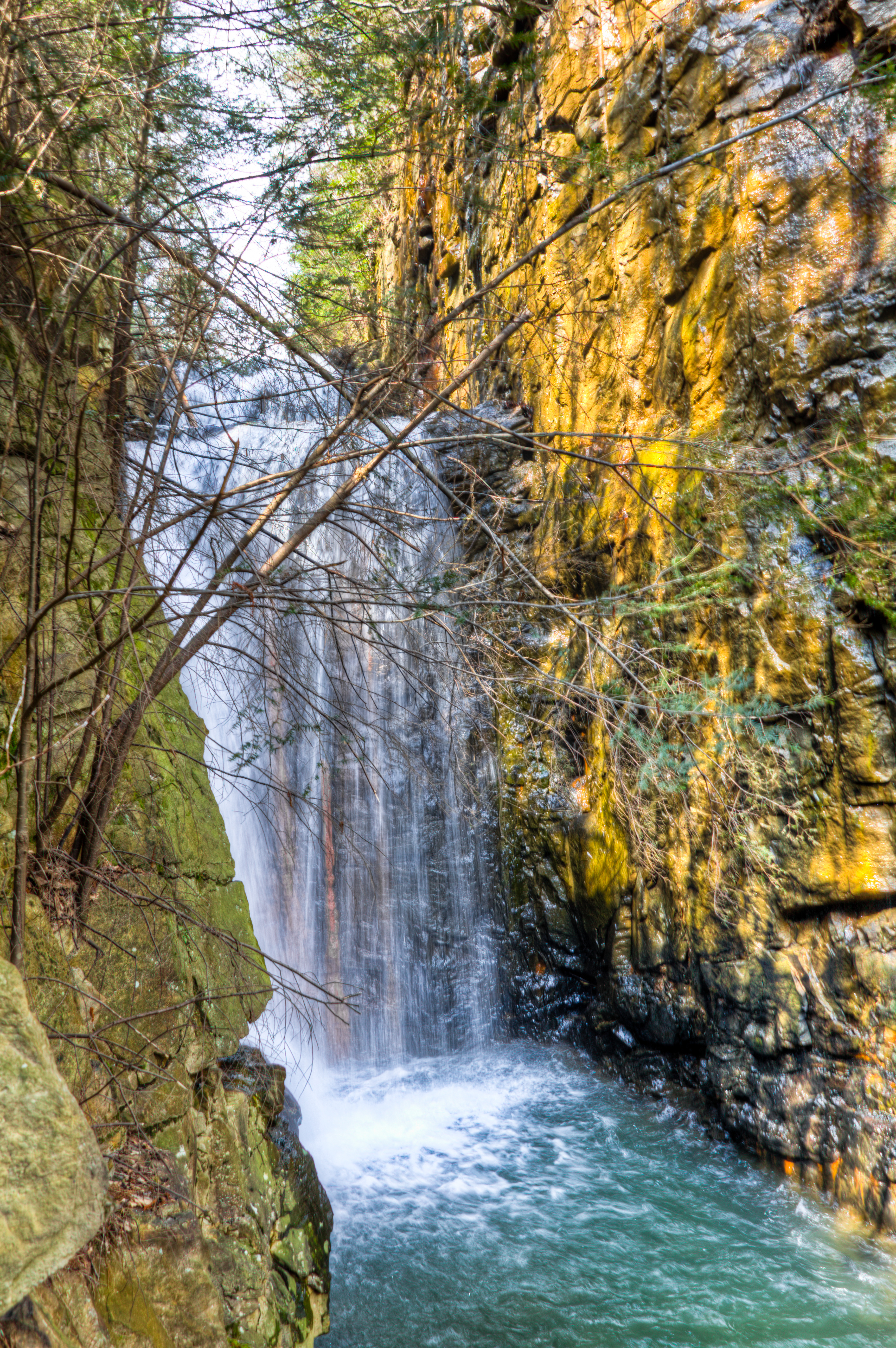
Bruce Falls in motion

I-75 & the Cumberland Mountains
Cove Lake, TN

DSC_6945-Popphoto

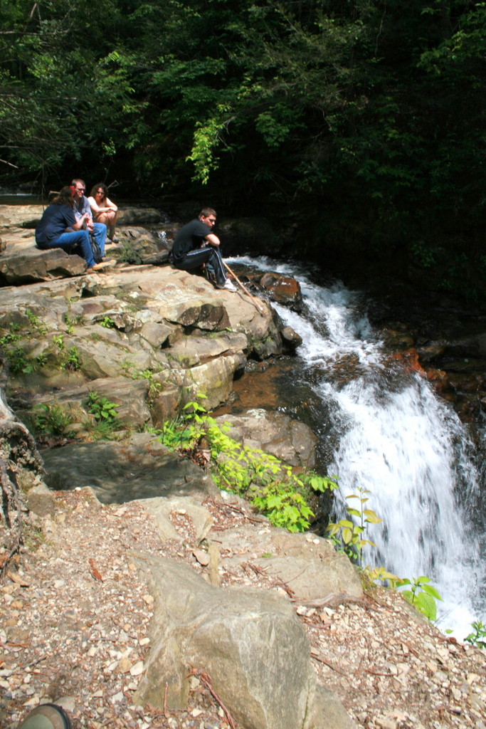
Bruce Creek Falls

Powell River Valley

Lunch Spot

Bruce Creek Falls
Top of the Falls

Blow Down

Cumberland Trail

Norris Lake

CLOUDSCAPE-1

early fall campers 9-29-07

Cumberland Mountain segment of the Cumberland Trail

Swainson's Warbler
Cumberland Mountain segment of the Cumberland Trail

Cumberland Mountain segment of the Cumberland Trail
Topographic Map of S 13th St, LaFollette, TN, USA
Find elevation by address:

Places near S 13th St, LaFollette, TN, USA:
Loop Rd, LaFollette, TN, USA
Lafollette
515 N 23rd St
1028 Pleasant Ridge Rd
Campbell County High School
286 Lewis White Ln
1914 Pleasant Ridge Rd
2251 Long Hollow Rd
221 Low Gap Rd
586 Low Gap Rd
519 Low Gap Rd
542 Young Rd
731 Ivey Hollow Rd
Campbell County
425 Perkins Ln
312 Main St
Gail Lane
Jacksboro
311 Mariner Point Rd
722 Cedar Cir
Recent Searches:
- Elevation of Corso Fratelli Cairoli, 35, Macerata MC, Italy
- Elevation of Tallevast Rd, Sarasota, FL, USA
- Elevation of 4th St E, Sonoma, CA, USA
- Elevation of Black Hollow Rd, Pennsdale, PA, USA
- Elevation of Oakland Ave, Williamsport, PA, USA
- Elevation of Pedrógão Grande, Portugal
- Elevation of Klee Dr, Martinsburg, WV, USA
- Elevation of Via Roma, Pieranica CR, Italy
- Elevation of Tavkvetili Mountain, Georgia
- Elevation of Hartfords Bluff Cir, Mt Pleasant, SC, USA