Elevation of S 12th St, Terre Haute, IN, USA
Location: United States > Indiana > Vigo County > Honey Creek Township >
Longitude: -87.3987011
Latitude: 39.4171349
Elevation: 150m / 492feet
Barometric Pressure: 0KPa
Related Photos:

The Aviator

Rail Car Graffiti
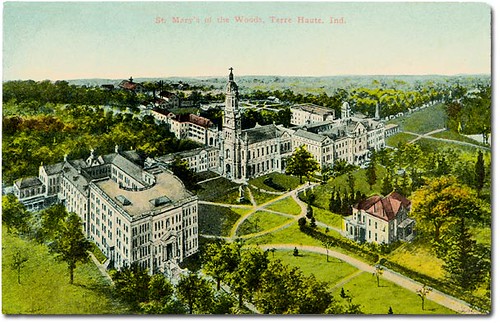
St. Mary-of-the-Woods, Terre Haute, Indiana
An XL (lent!) Chase Part 18

Franey General Council, 1948-1953

1940 Henney Packard Hearse
Abandoned National Road
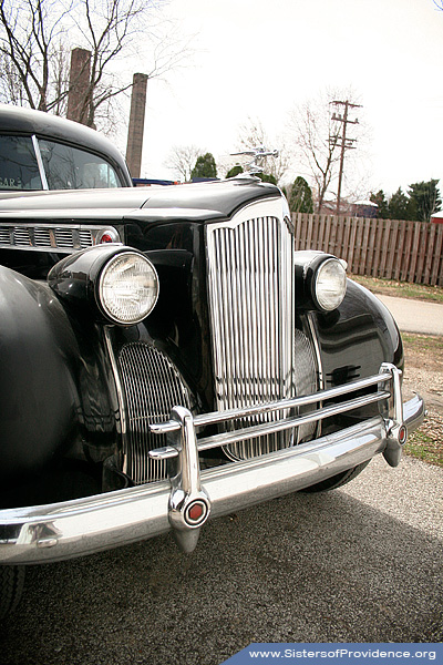
1940 Henney Packard Hearse
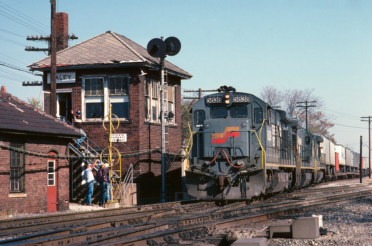
The classic Haley view

119/365
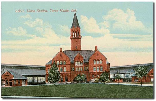
Union Station, Terre Haute, Indiana
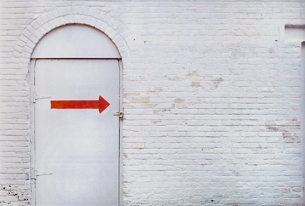
this way

Canadian Pacific Springhill Tower, Terre Haute, Indiana

The view from ... ?

CSX 757 - HDR
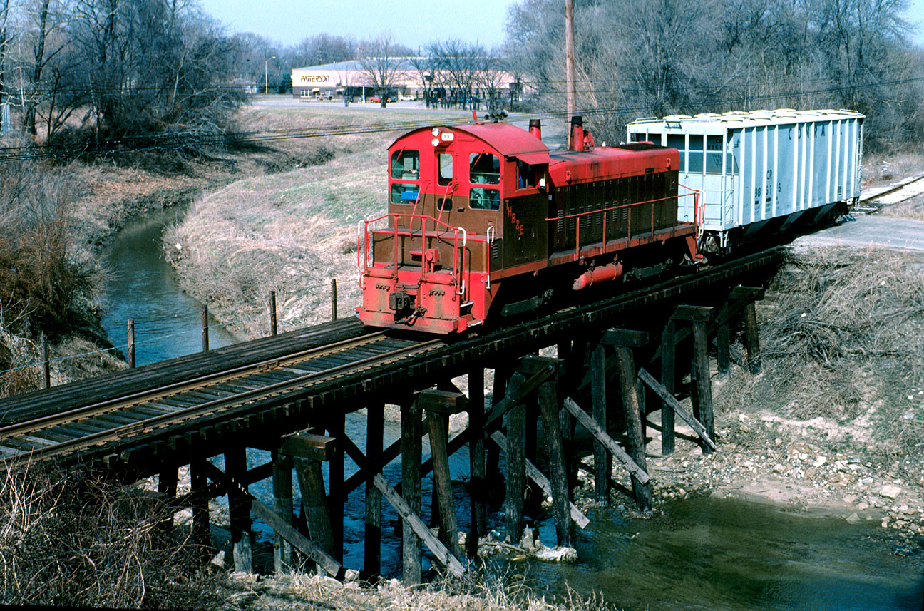
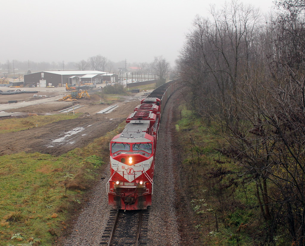
TBER 100 at Lost Creek
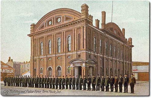
City Building and police force, Terre Haute, Indiana
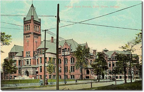
Indiana State Normal, Terre Haute, Indiana

hiding from me?
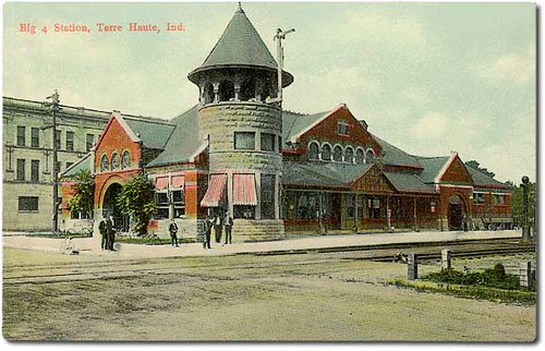
Big 4 Station, Terre Haute, Indiana
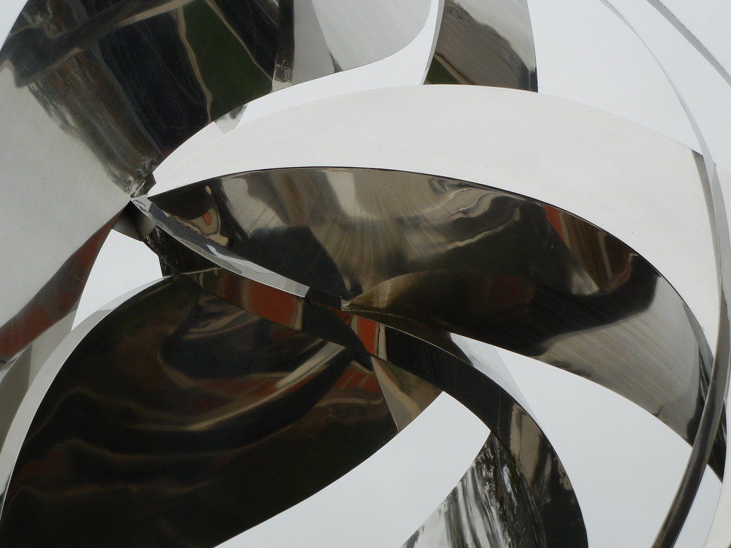
Stainless Tangle

Double Barn
Otter Creek

Early spring sunset on the wabash river -photography by jamie s grimes
White Chapel
White Violet Farm Alpacas

early mornin light on the cornfield
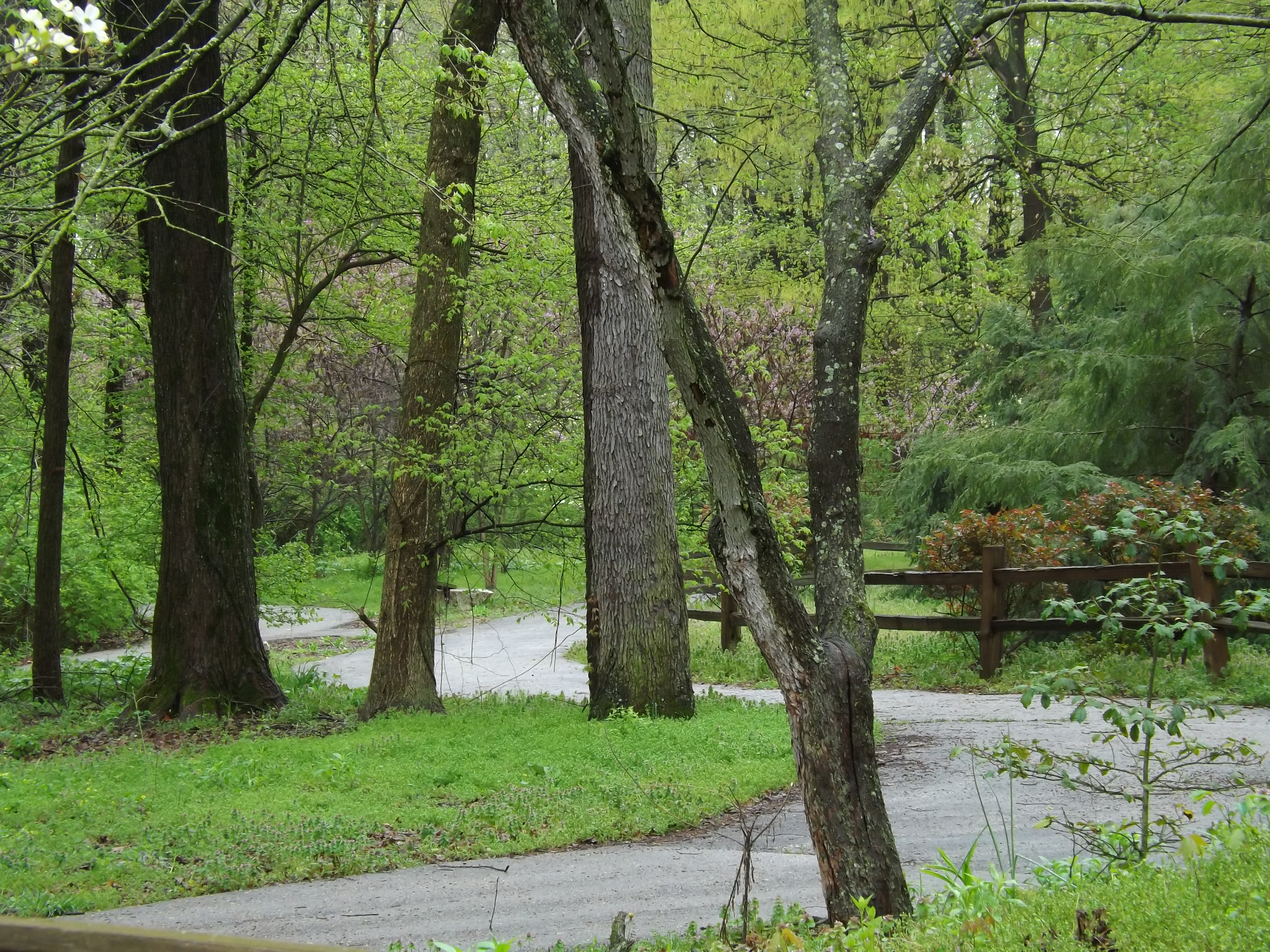
The pathway by the water.
grasping the waning moments of the day

Water in the Clouds
The pathway by the water 2
keep going

A Terre Haute Sunset
2012-07-25 06.41.47
where do we go from here?
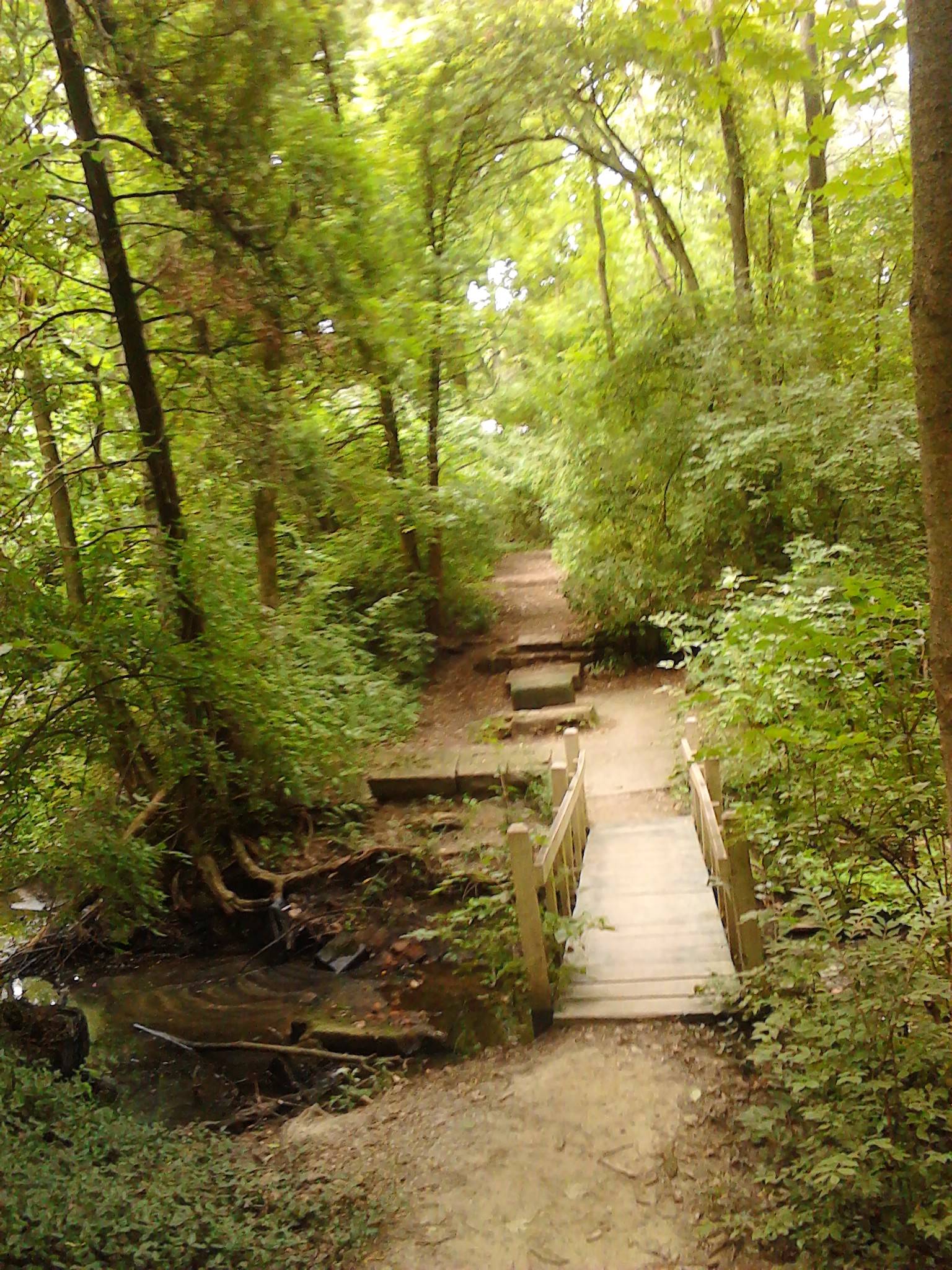
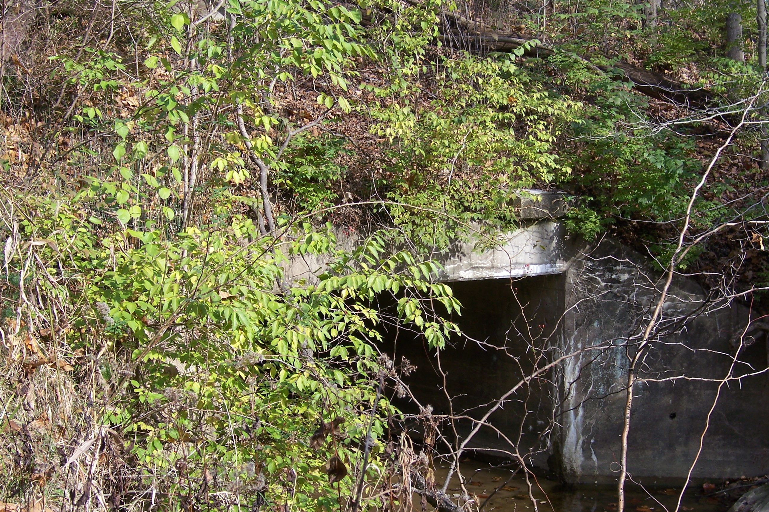
A little wooden bridge across a wooded stream
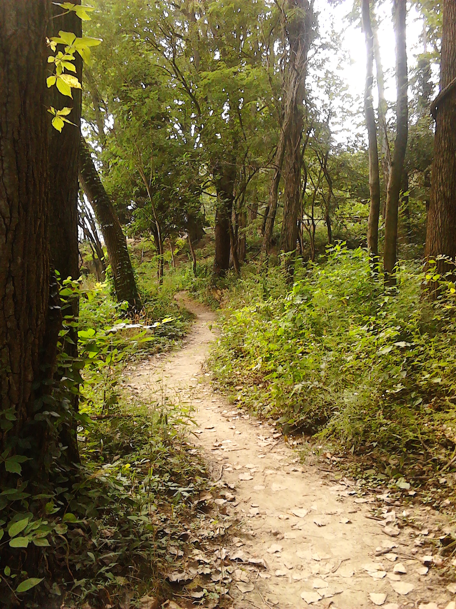
A day for a walk on a wooded path

jamie s grimes folder 2 nature shots 004
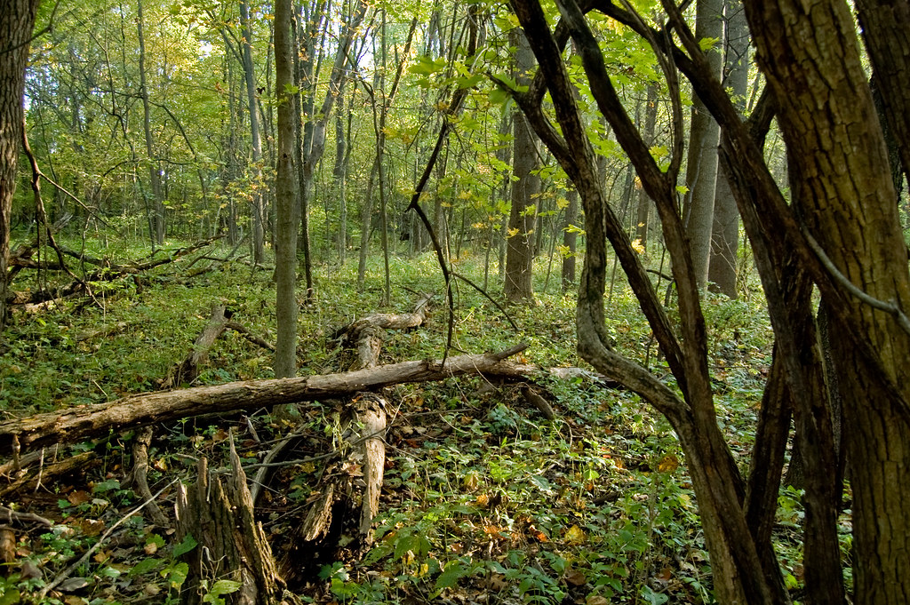
el bosque
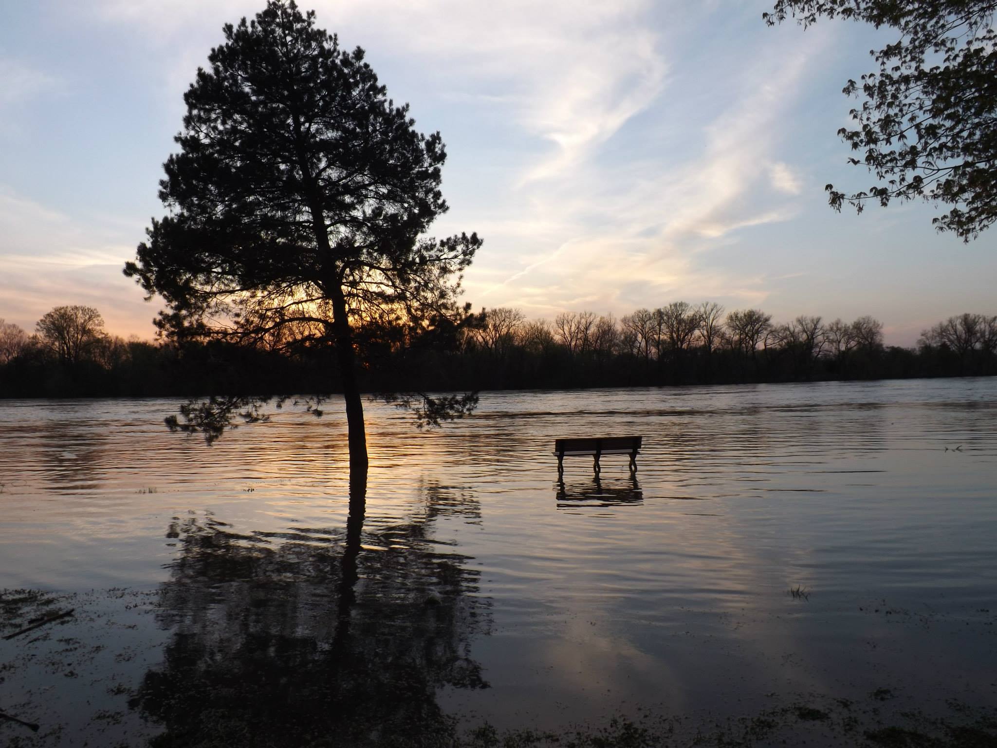
sunset on the flooded wabash river in terre haute indiana -by jamie s grimes

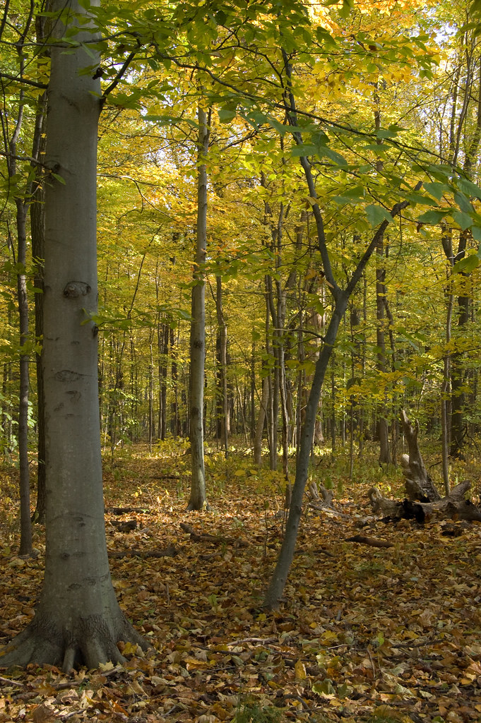
Deming Park HDR - Take 2
jamie s grimes folder 392
Topographic Map of S 12th St, Terre Haute, IN, USA
Find elevation by address:

Places near S 12th St, Terre Haute, IN, USA:
East Halt Drive
Honey Creek Township
Vigo County
6643 W Manor Dr
5 E Cresthill Dr, Terre Haute, IN, USA
Harrison Township
Terre Haute
Indiana State University
23 Nitsche Dr, Terre Haute, IN, USA
1000 N 1st St
Antioch Circle North
West Terre Haute
17 W Lawrin Blvd
1840 N 9th St
1840 N 9th St
Collett Park
N 23rd St, Terre Haute, IN, USA
Toad Hop
5403 Cannon Ct
Fort Harrison Rd, Terre Haute, IN, USA
Recent Searches:
- Elevation of 8, Rue de Bécancour, Blainville, Thérèse-De Blainville, Quebec, J7B1N2, Canada
- Elevation of Wilmot Court North, 163, University Avenue West, Northdale, Waterloo, Region of Waterloo, Ontario, N2L6B6, Canada
- Elevation map of Panamá Province, Panama
- Elevation of Balboa, Panamá Province, Panama
- Elevation of San Miguel, Balboa, Panamá Province, Panama
- Elevation of Isla Gibraleón, San Miguel, Balboa, Panamá Province, Panama
- Elevation of 4655, Krischke Road, Schulenburg, Fayette County, Texas, 78956, USA
- Elevation of Carnegie Avenue, Downtown Cleveland, Cleveland, Cuyahoga County, Ohio, 44115, USA
- Elevation of Walhonding, Coshocton County, Ohio, USA
- Elevation of Clifton Down, Clifton, Bristol, City of Bristol, England, BS8 3HU, United Kingdom
- Elevation map of Auvergne-Rhône-Alpes, France
- Elevation map of Upper Savoy, Auvergne-Rhône-Alpes, France
- Elevation of Chamonix-Mont-Blanc, Upper Savoy, Auvergne-Rhône-Alpes, France
- Elevation of 908, Northwood Drive, Bridge Field, Chesapeake, Virginia, 23322, USA
- Elevation map of Nagano Prefecture, Japan
- Elevation of 587, Bascule Drive, Oakdale, Stanislaus County, California, 95361, USA
- Elevation of Stadion Wankdorf, Sempachstrasse, Breitfeld, Bern, Bern-Mittelland administrative district, Bern, 3014, Switzerland
- Elevation of Z024, 76, Emil-von-Behring-Straße, Marbach, Marburg, Landkreis Marburg-Biedenkopf, Hesse, 35041, Germany
- Elevation of Gaskill Road, Hunts Cross, Liverpool, England, L24 9PH, United Kingdom
- Elevation of Speke, Liverpool, England, L24 9HD, United Kingdom