Elevation of Rutenga, Zimbabwe
Location: Zimbabwe >
Longitude: 30.7292472
Latitude: -21.237615
Elevation: 558m / 1831feet
Barometric Pressure: 95KPa
Elevation Map:
Satellite Map:
Related Photos:
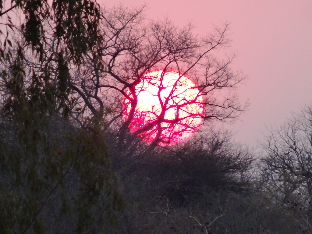
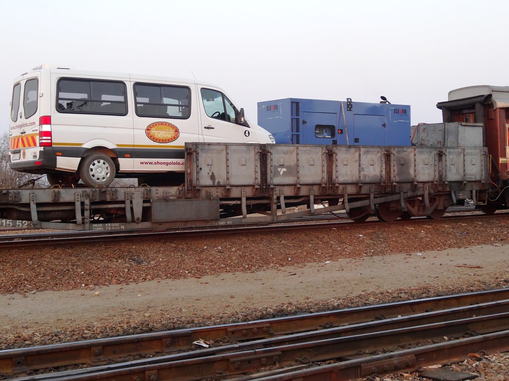
DSC04929

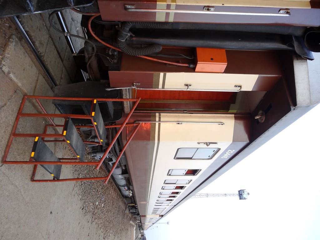
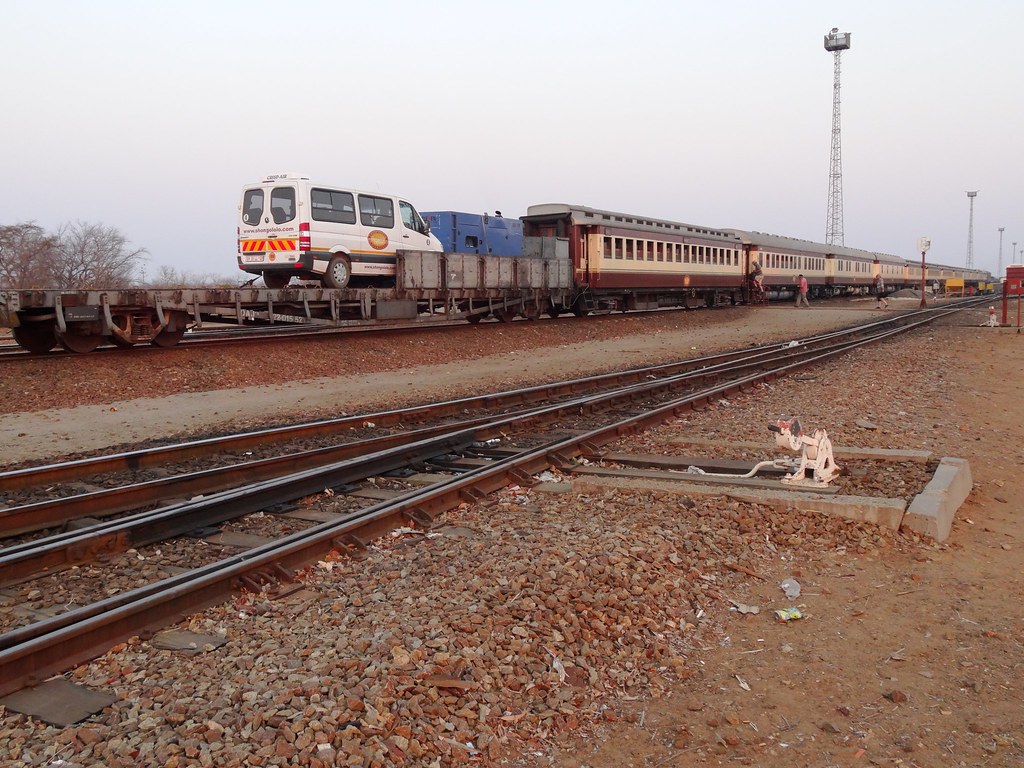
DSC04928

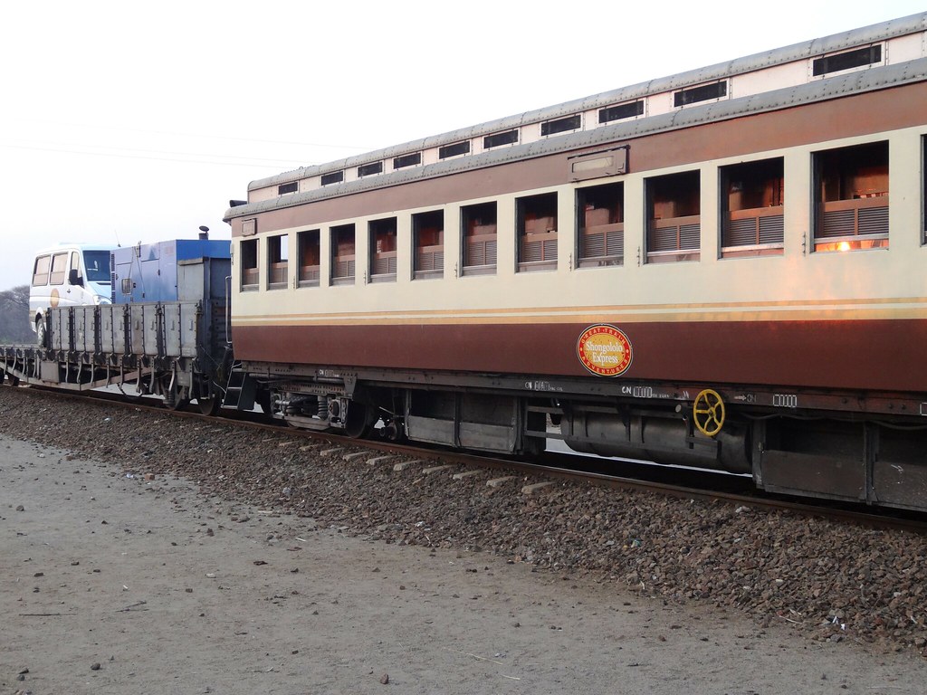
DSC04925
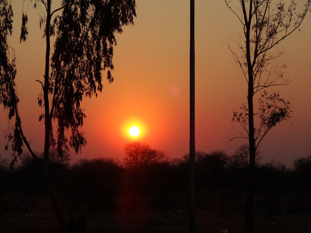
DSC04923
DSC04922

DSC04921
DSC04919

DSC04919
DSC04918

DSC04917
DSC04916
Topographic Map of Rutenga, Zimbabwe
Find elevation by address:

Places near Rutenga, Zimbabwe:
Recent Searches:
- Elevation of Corso Fratelli Cairoli, 35, Macerata MC, Italy
- Elevation of Tallevast Rd, Sarasota, FL, USA
- Elevation of 4th St E, Sonoma, CA, USA
- Elevation of Black Hollow Rd, Pennsdale, PA, USA
- Elevation of Oakland Ave, Williamsport, PA, USA
- Elevation of Pedrógão Grande, Portugal
- Elevation of Klee Dr, Martinsburg, WV, USA
- Elevation of Via Roma, Pieranica CR, Italy
- Elevation of Tavkvetili Mountain, Georgia
- Elevation of Hartfords Bluff Cir, Mt Pleasant, SC, USA