Elevation of Russell Rd, Merlin, OR, USA
Location: United States > Oregon > Josephine County > Merlin >
Longitude: -123.41098
Latitude: 42.5315259
Elevation: 287m / 942feet
Barometric Pressure: 98KPa
Elevation Map:
Satellite Map:
Related Photos:
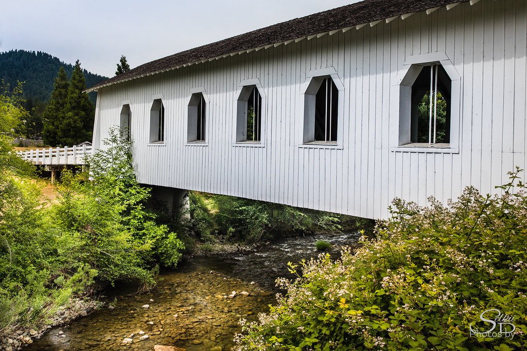
Grave Creek Bridge, Another View
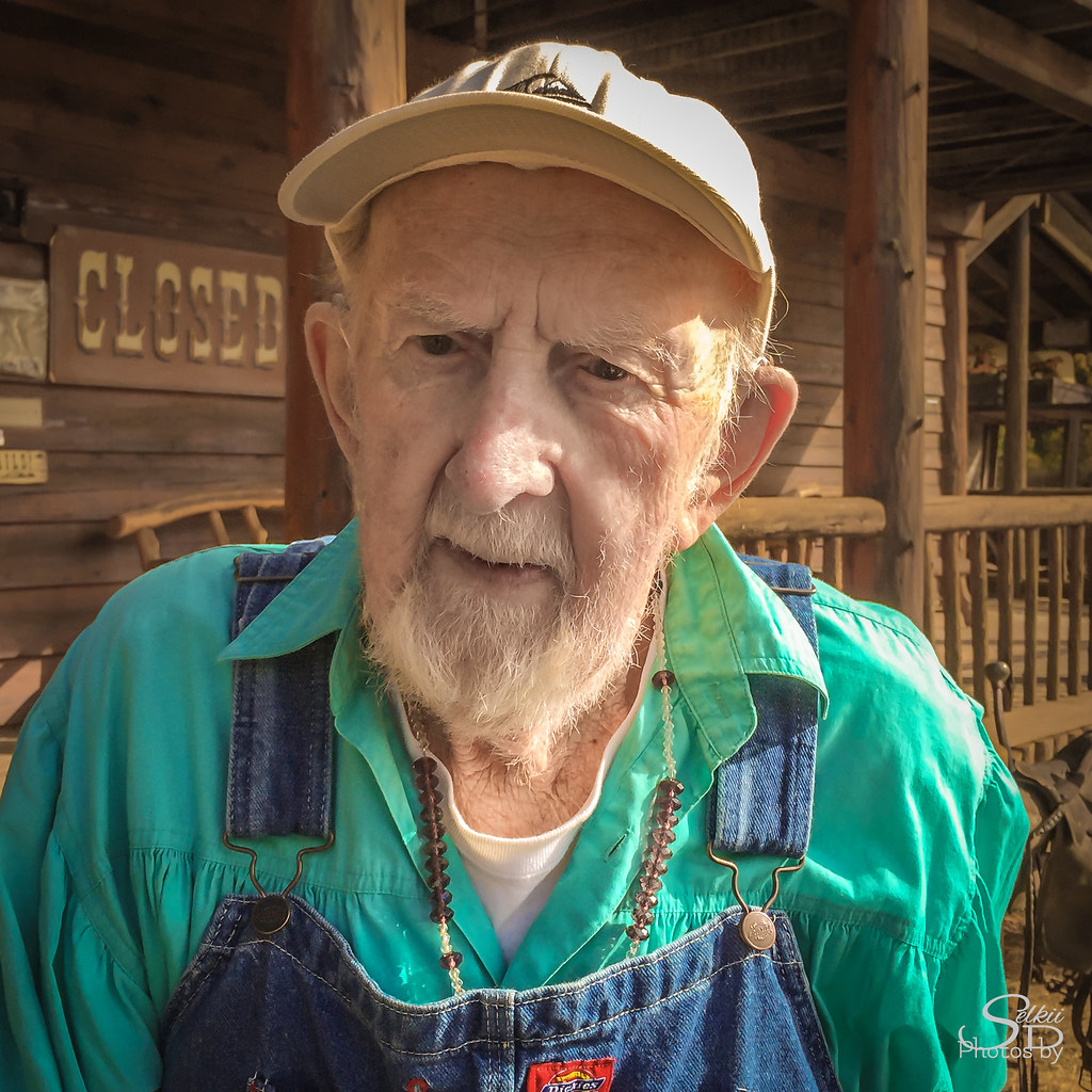
Along a Country Road, I Met... (8/100)

Hellgate: a backdrop for John Wayne, Kathryn Hepburn and Meryl Streep
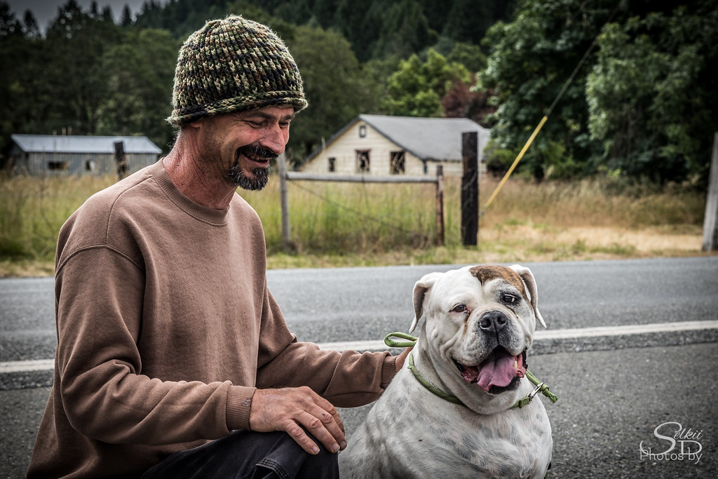
Darryl (Stranger 5/100)

The ol' madrone
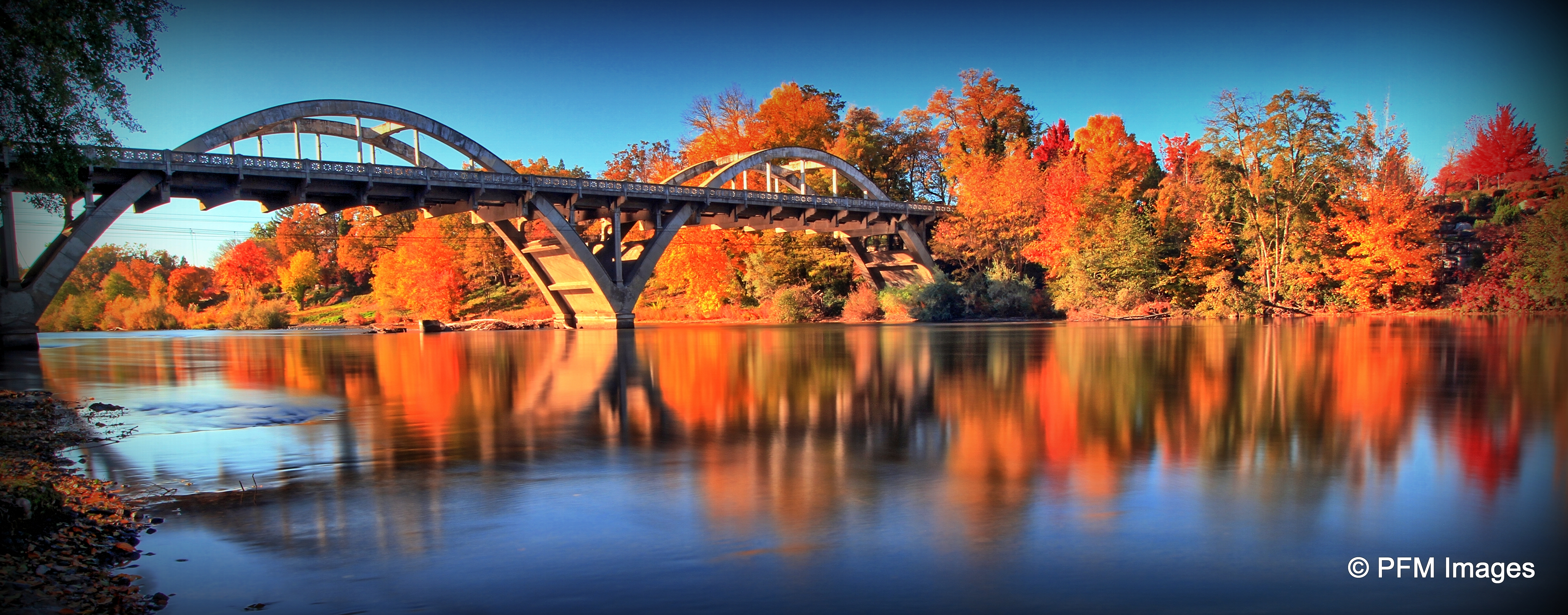
Caveman Bridge

view from balcony
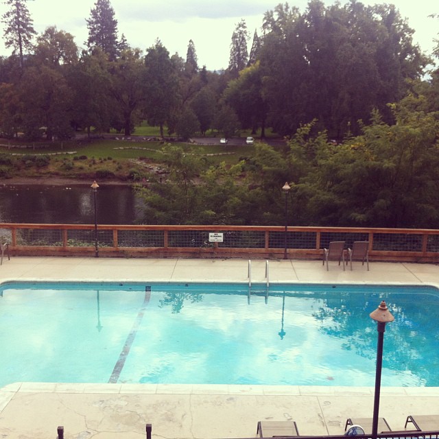
The view of the Rogue River from The Lodge at Riverside is outstanding! The pool and spa are closed for the season but the nightly wine & cheese/cookie & milk reception are more fun anyway! #oregon2013 @VisitGrantPass

fall-fest_as2-14
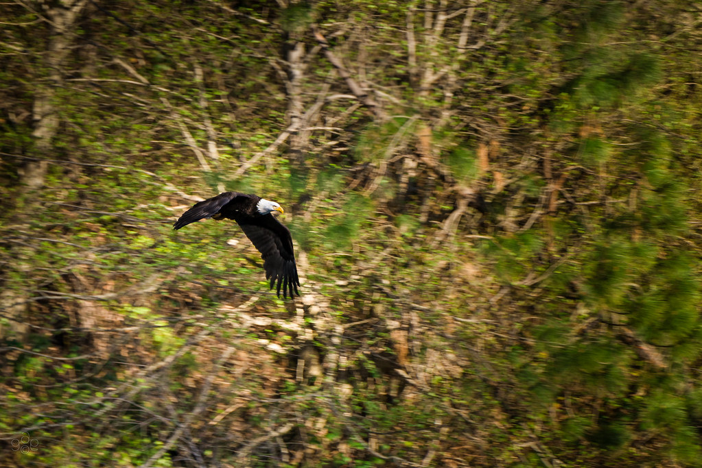
Eagle eyes over the Rogue

My Town
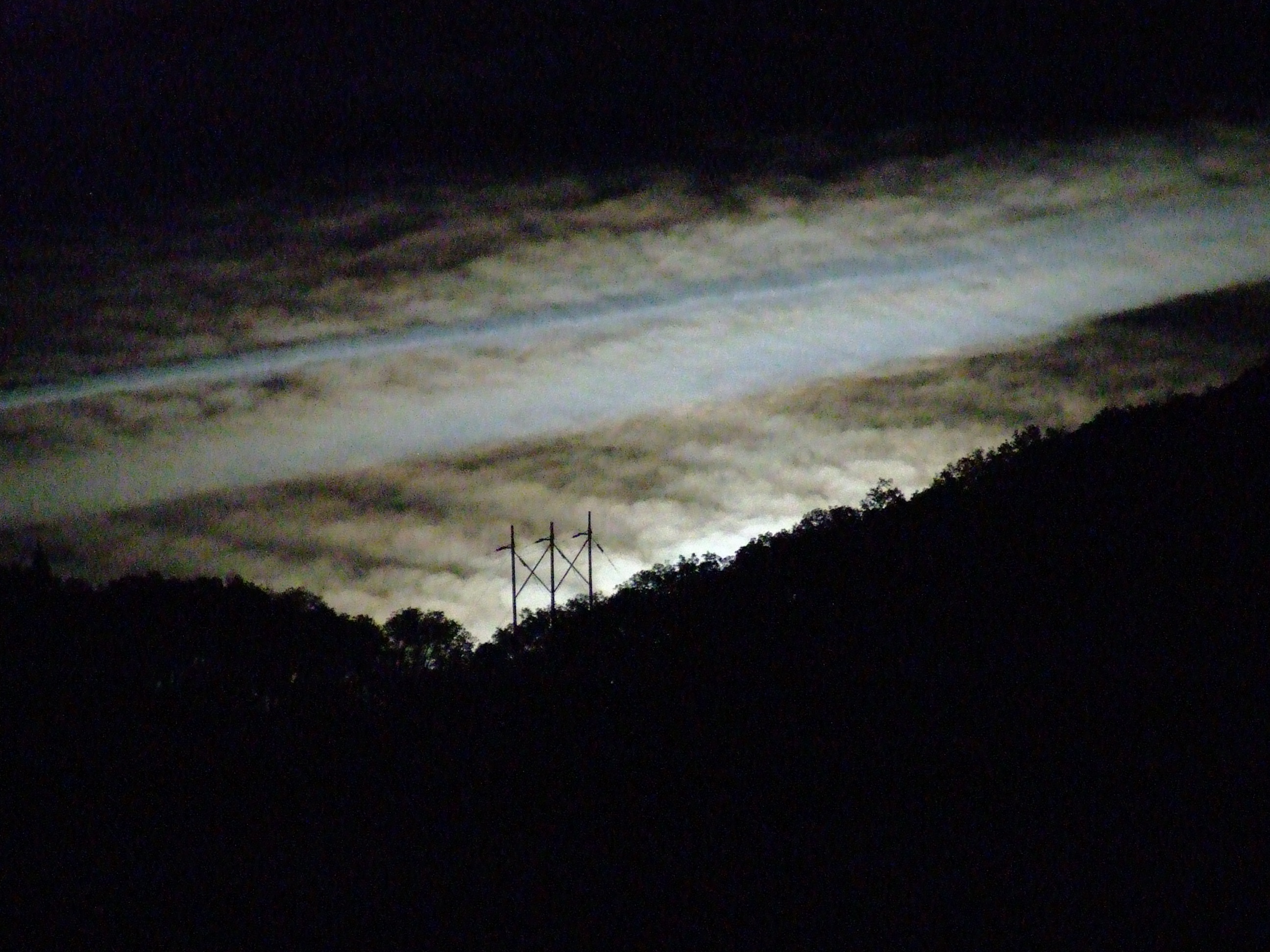
night view 2
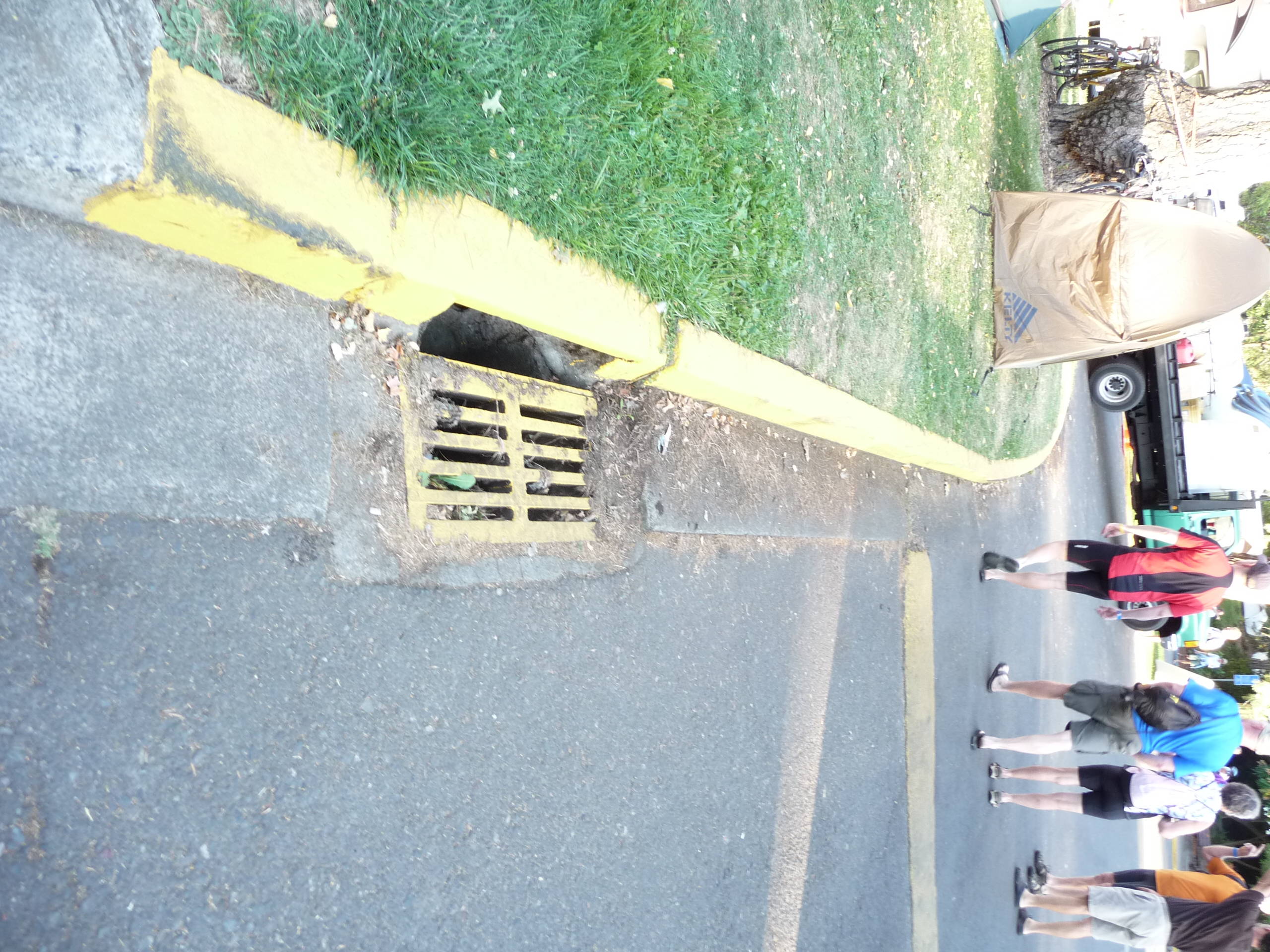
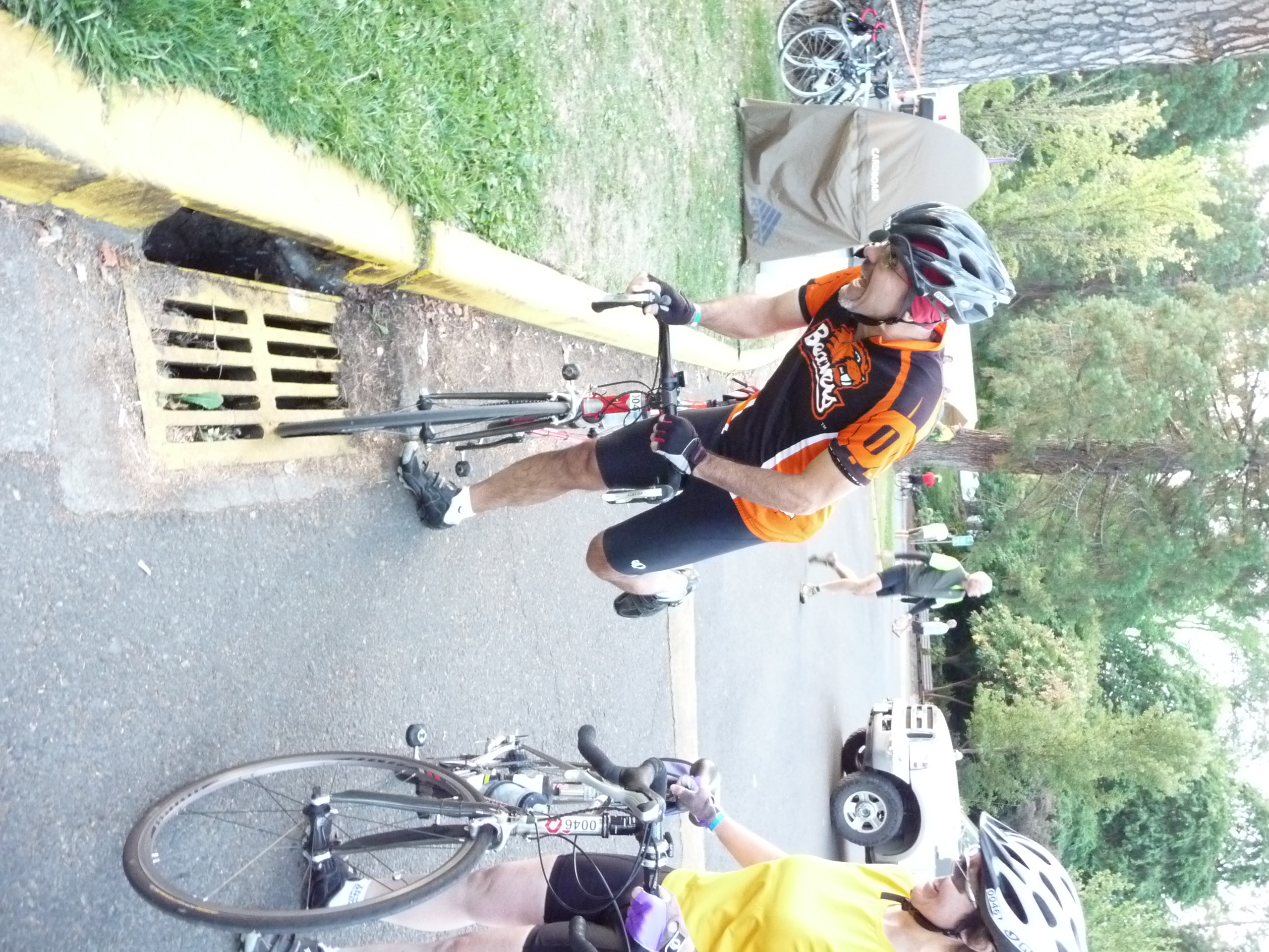
Bike Eating Storm Drain Grate in Grants Pass - Cycle Oregon 2009
night view

view from balcony
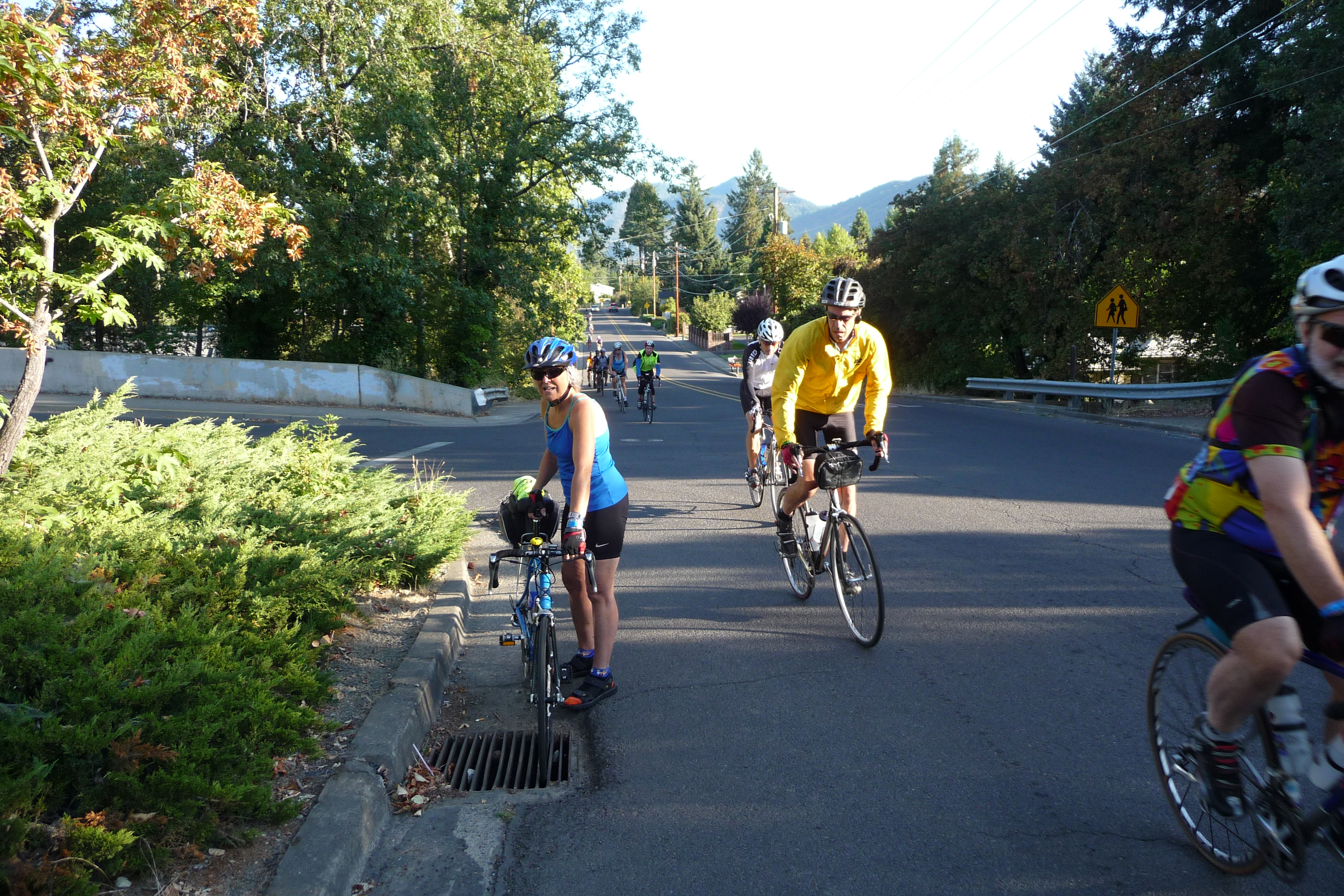
Longitudinal Bike Eating Storm Drain Grate in Grants Pass - Cycle Oregon 2009

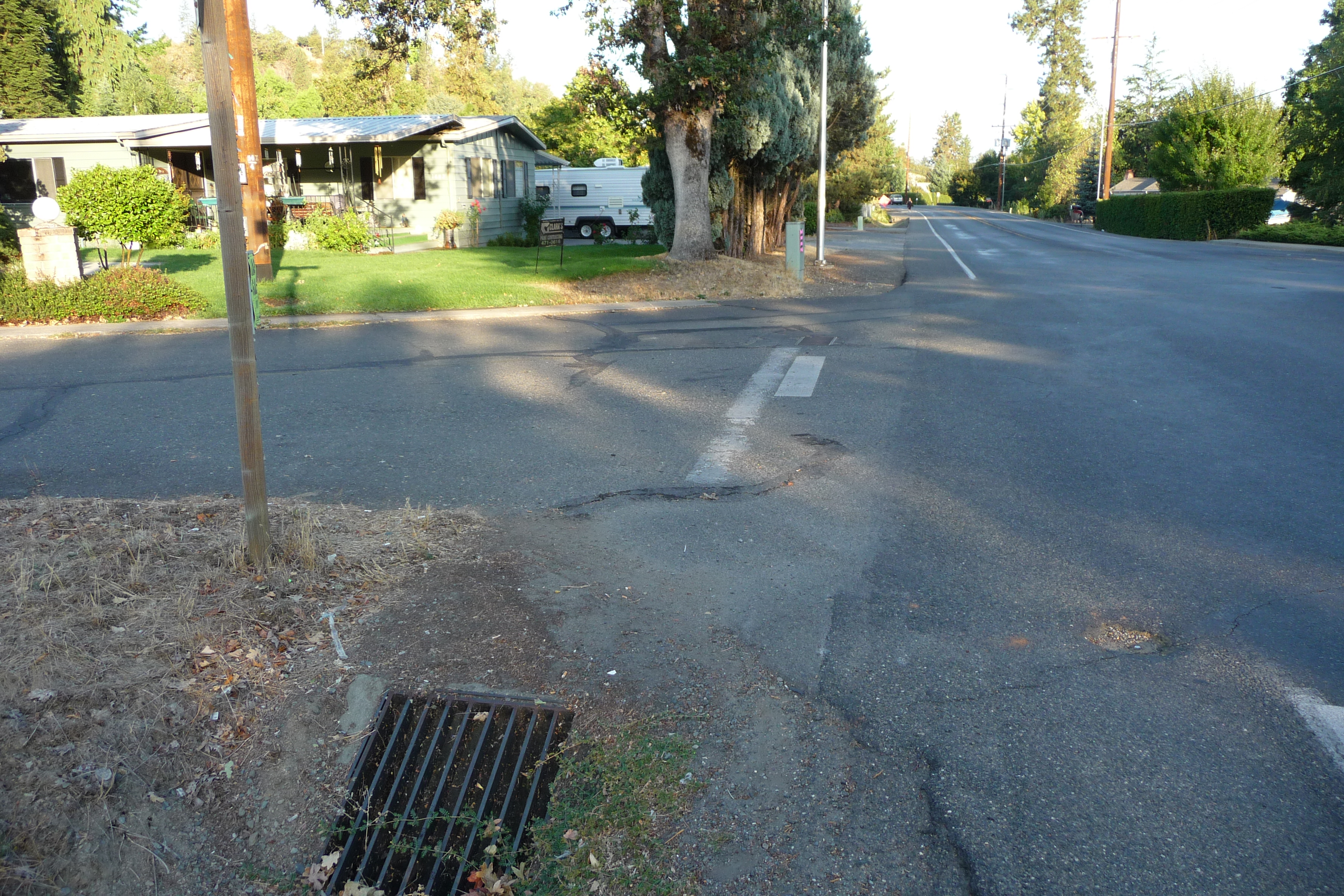
VERY Dangerous Bike Eating Storm Drain on Fruitdale Dr and Cloverlawn Dr. in Grants Pass - Cycle Oregon 2009

Bike Eating Drain on Cloverlawn Dr near Grandview Ave, Grants Pass Or - Cycle Oregon 2009
Two Bike Eating Storm Drain Grates on Parkdale Dr and Fruitdale Dr in Grants Pass - Cycle Oregon 2009
Bike Eating Storm Drain Grate on Cloverlawn Dr. Grants Pass Oregon - Cycle Oregon 2009

Cloverlawn Dr and Fruitdale Dr. Grants Pass - Cycle Oregon 2009
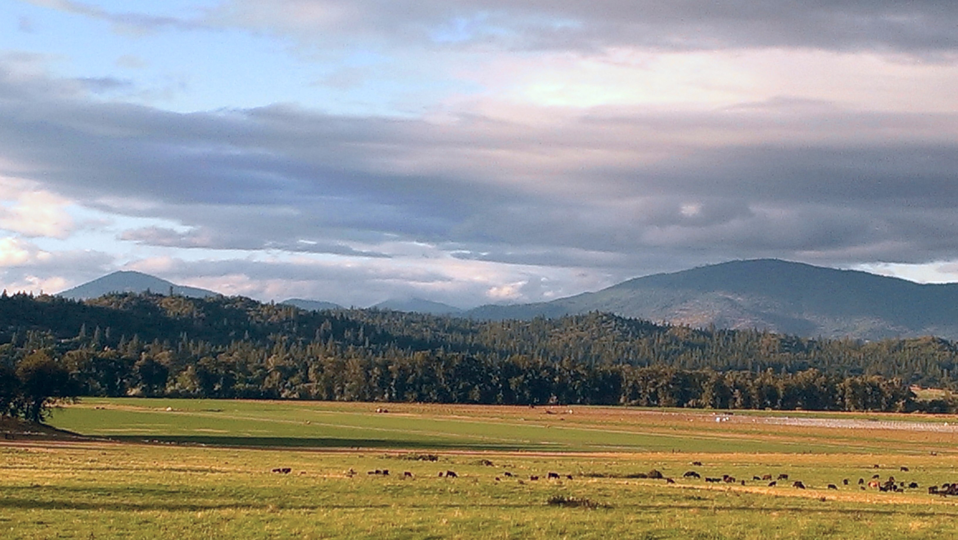
Southern Oregon Hills
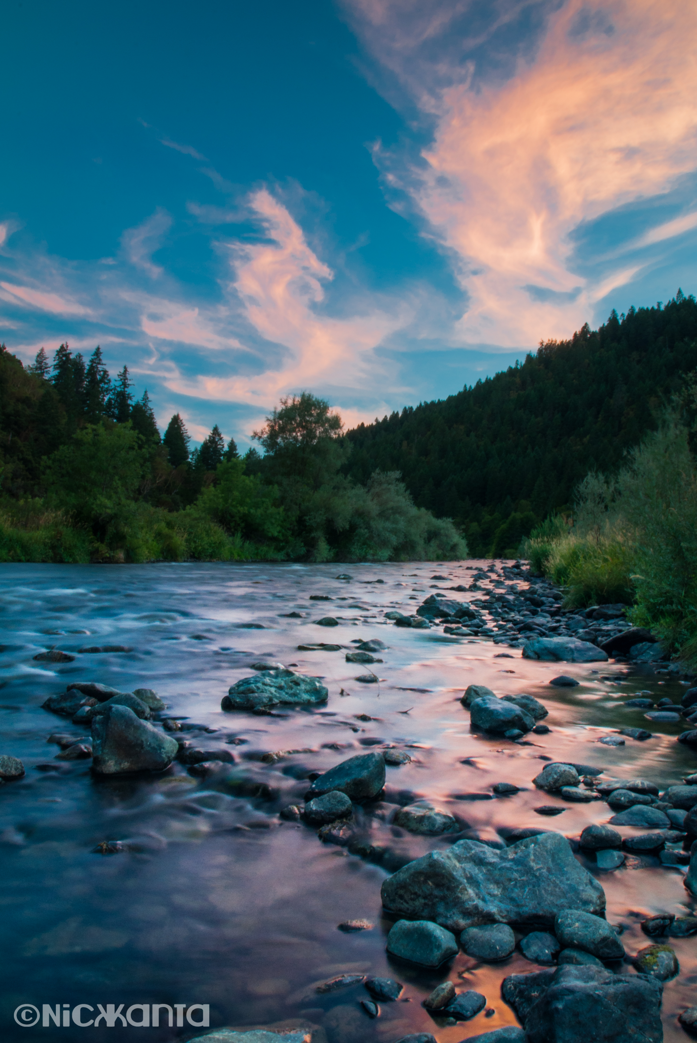
Rogue River Sunset
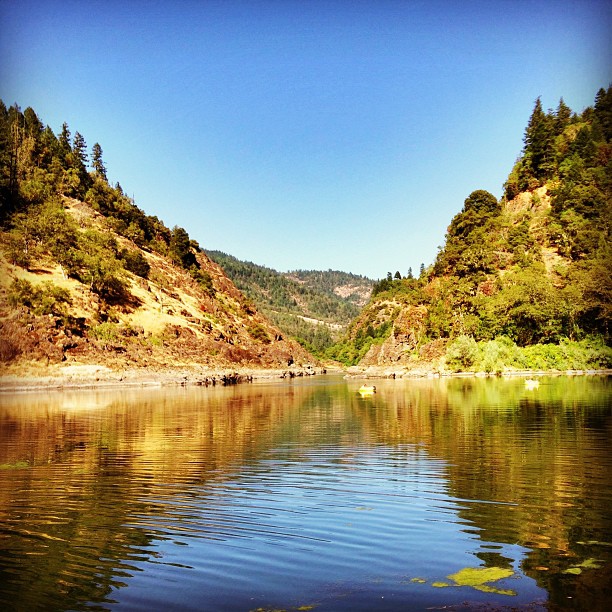
The Mighty Rogue
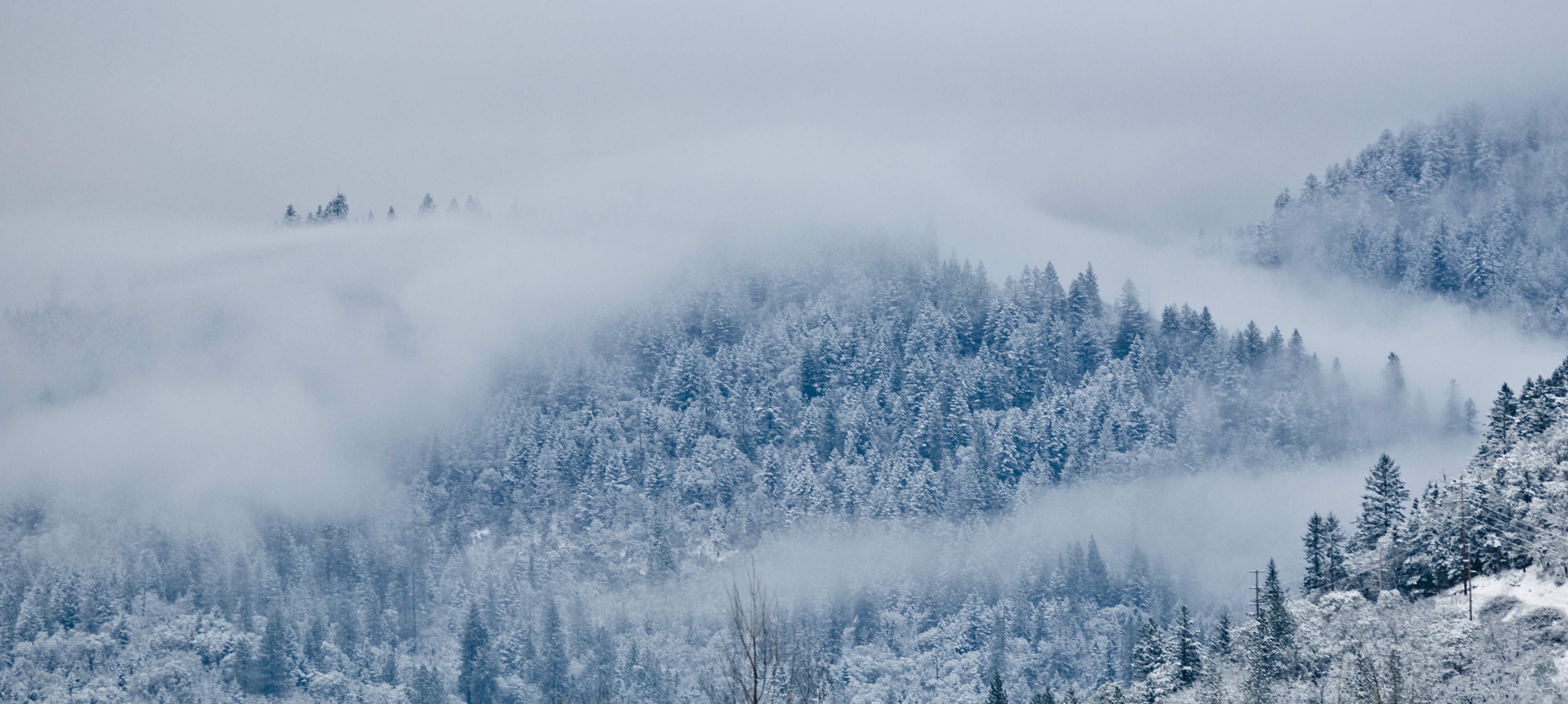
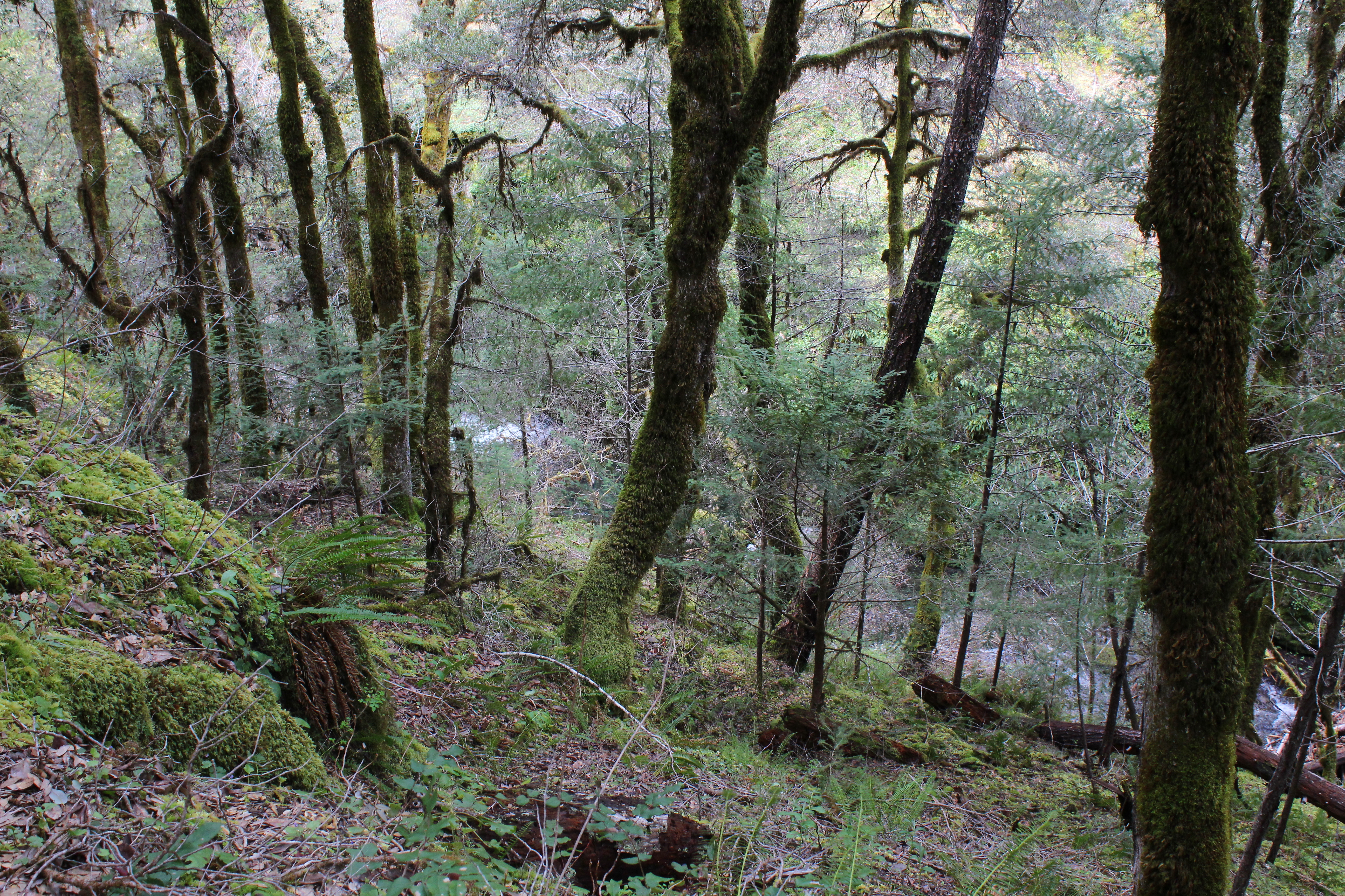
foggy forest
Heading South
Fall Run
Heading South
Heading South

#sunset

The Neighborhood

Trail through the oaks
Rogue River from Morrison's Rogue River Lodge. #rogueriver #southernoregon #oregon
You could hear Taylor Creek, it was harder to see it

Road trip photo

Sometimes waking up to the unfamiliar is just what you need.// thank you @columbia1938 for making this a reality for me :) // #noservice #omniten #oregon #forestfire #forest #rogueriver #sunrise #tryingstuff #nature #smoke #desilation #wilderness #morning
Dinsdale Farm

Say what you wanna say. And let the words fall out. I wanna see you be brave.// @columbia1938 #omniten #tryingstuff #noservice #rogueriver #oregon #river #nature #gopro #hero3 #wilderness #whitewater #or #camp #grateful #omniranch
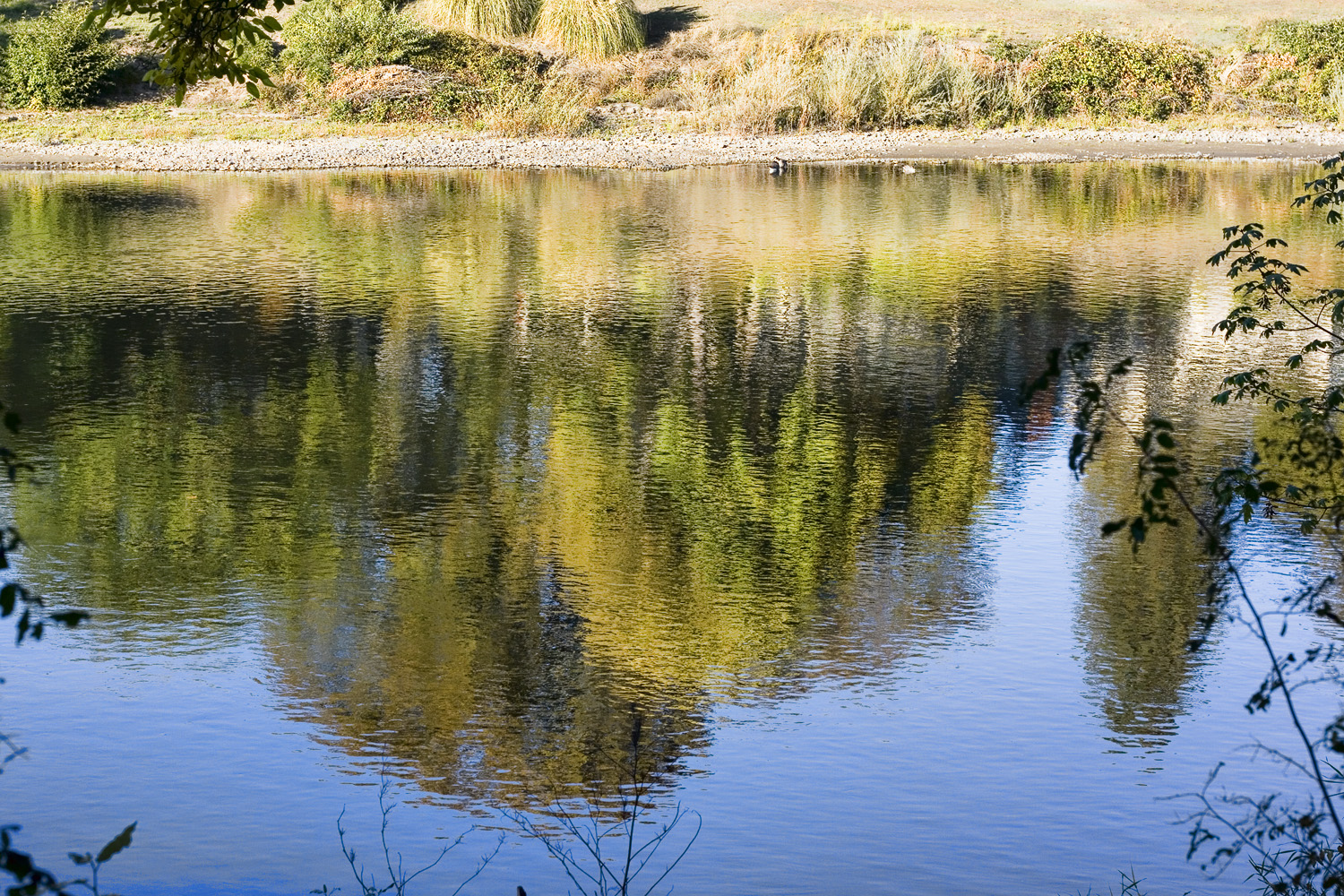
Reflections in the Rogue
Topographic Map of Russell Rd, Merlin, OR, USA
Find elevation by address:

Places near Russell Rd, Merlin, OR, USA:
500 Pleasant Valley Rd
Merlin
872 Barker Dr
676 Becklin Dr
Grayback Forestry Inc
168 Gary Ln
142 Abegg Rd
1390 Crow Rd
534 Crow Rd
Crow Road
2296 Galice Rd
2393 Azalea Dr
3654 Galice Rd
Barbara Drive
450 Pickett Creek Rd
4611 Upper River Rd
336 Bickford Dr
1269 Pickett Creek Rd
490 W Pickett Creek Rd
4050 Leonard Rd
Recent Searches:
- Elevation of Corso Fratelli Cairoli, 35, Macerata MC, Italy
- Elevation of Tallevast Rd, Sarasota, FL, USA
- Elevation of 4th St E, Sonoma, CA, USA
- Elevation of Black Hollow Rd, Pennsdale, PA, USA
- Elevation of Oakland Ave, Williamsport, PA, USA
- Elevation of Pedrógão Grande, Portugal
- Elevation of Klee Dr, Martinsburg, WV, USA
- Elevation of Via Roma, Pieranica CR, Italy
- Elevation of Tavkvetili Mountain, Georgia
- Elevation of Hartfords Bluff Cir, Mt Pleasant, SC, USA