Elevation of Rusape, Zimbabwe
Location: Zimbabwe > Manicaland Province >
Longitude: 32.1348629
Latitude: -18.535250
Elevation: 1435m / 4708feet
Barometric Pressure: 85KPa
Elevation Map:
Satellite Map:
Related Photos:
African Rain

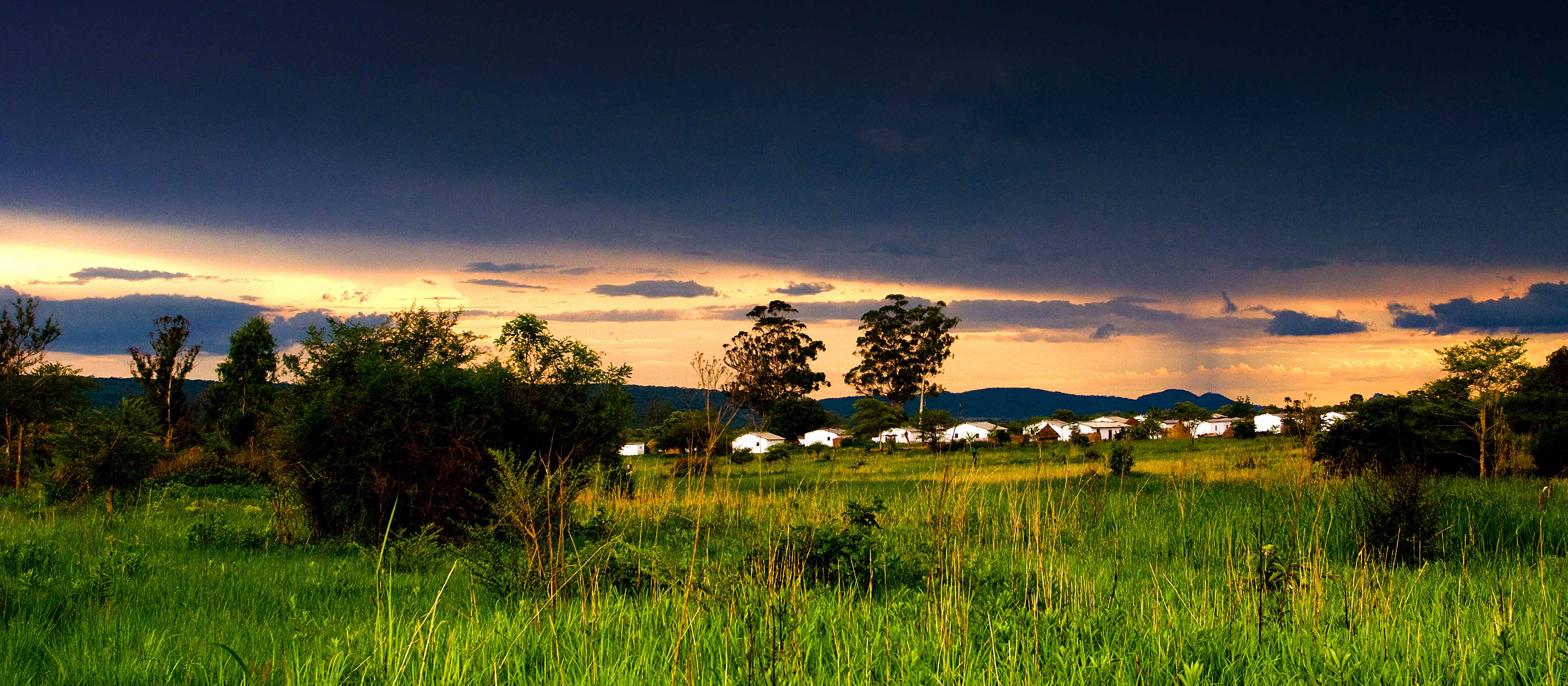
Sunset on the Vets

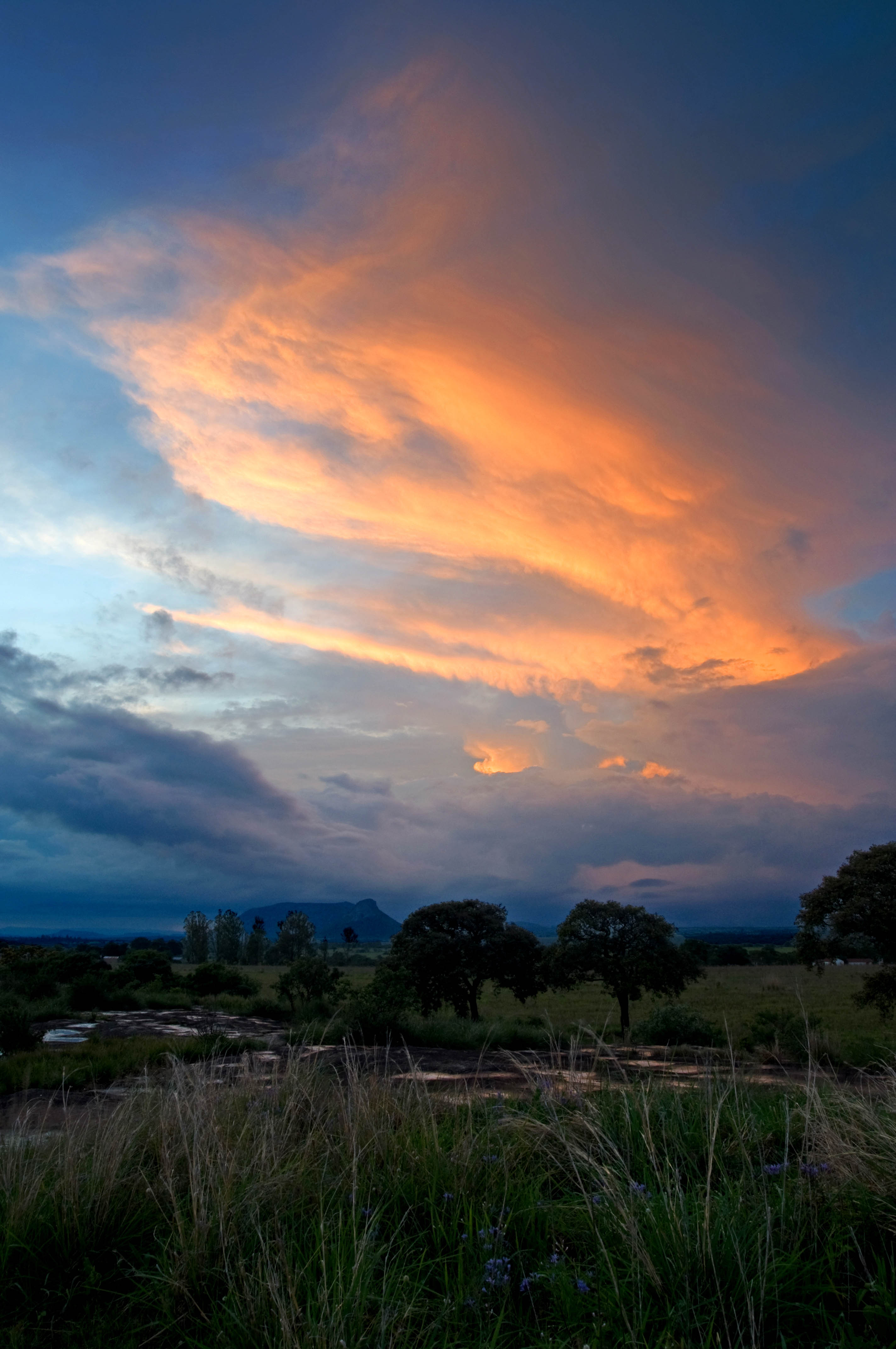
Sunset on the Vets 2

Lleó British de pel llarg en plena cacera..
Sunset over Tikiwiri 2

Sunset on Excelsior
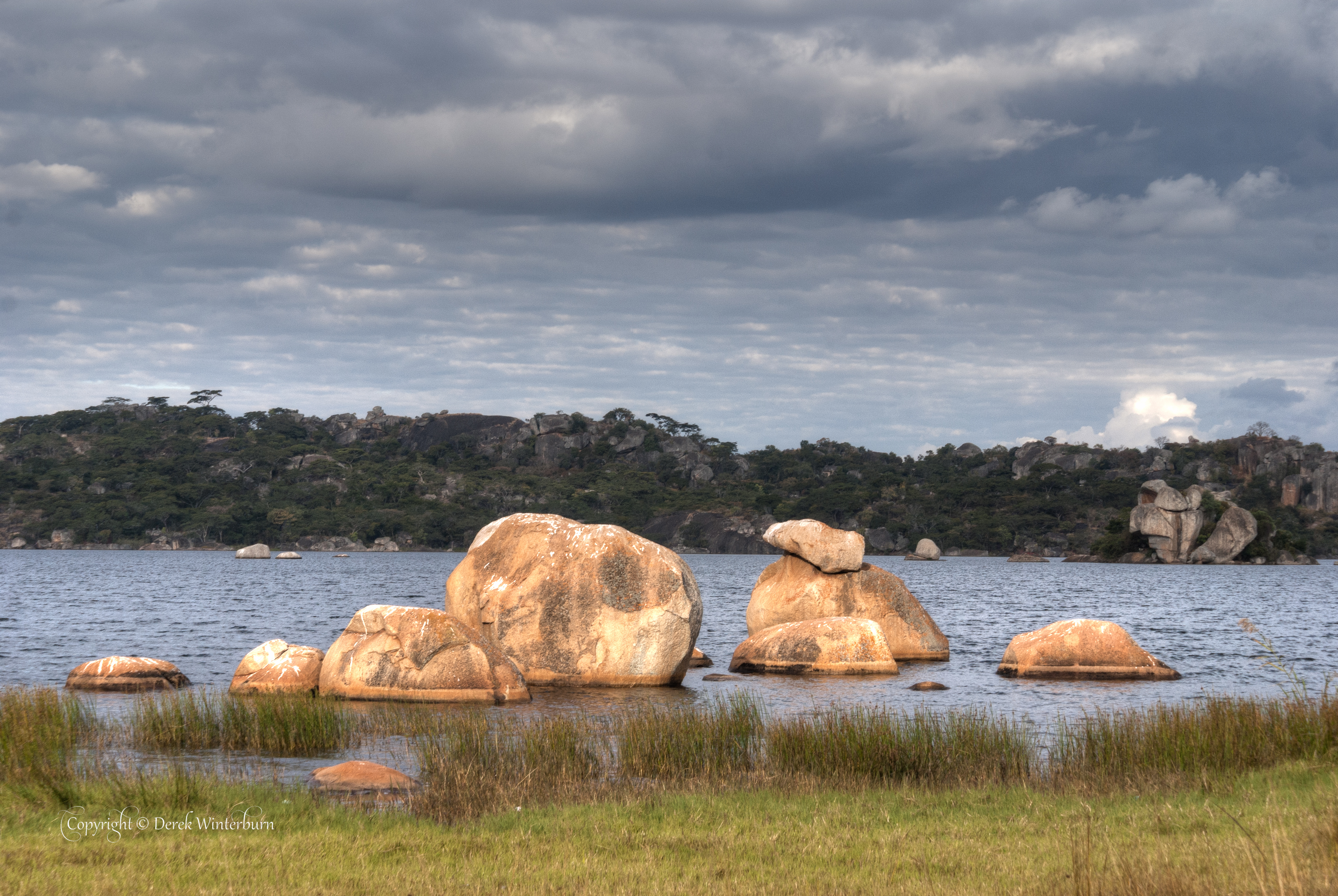
Lake Rusape 4
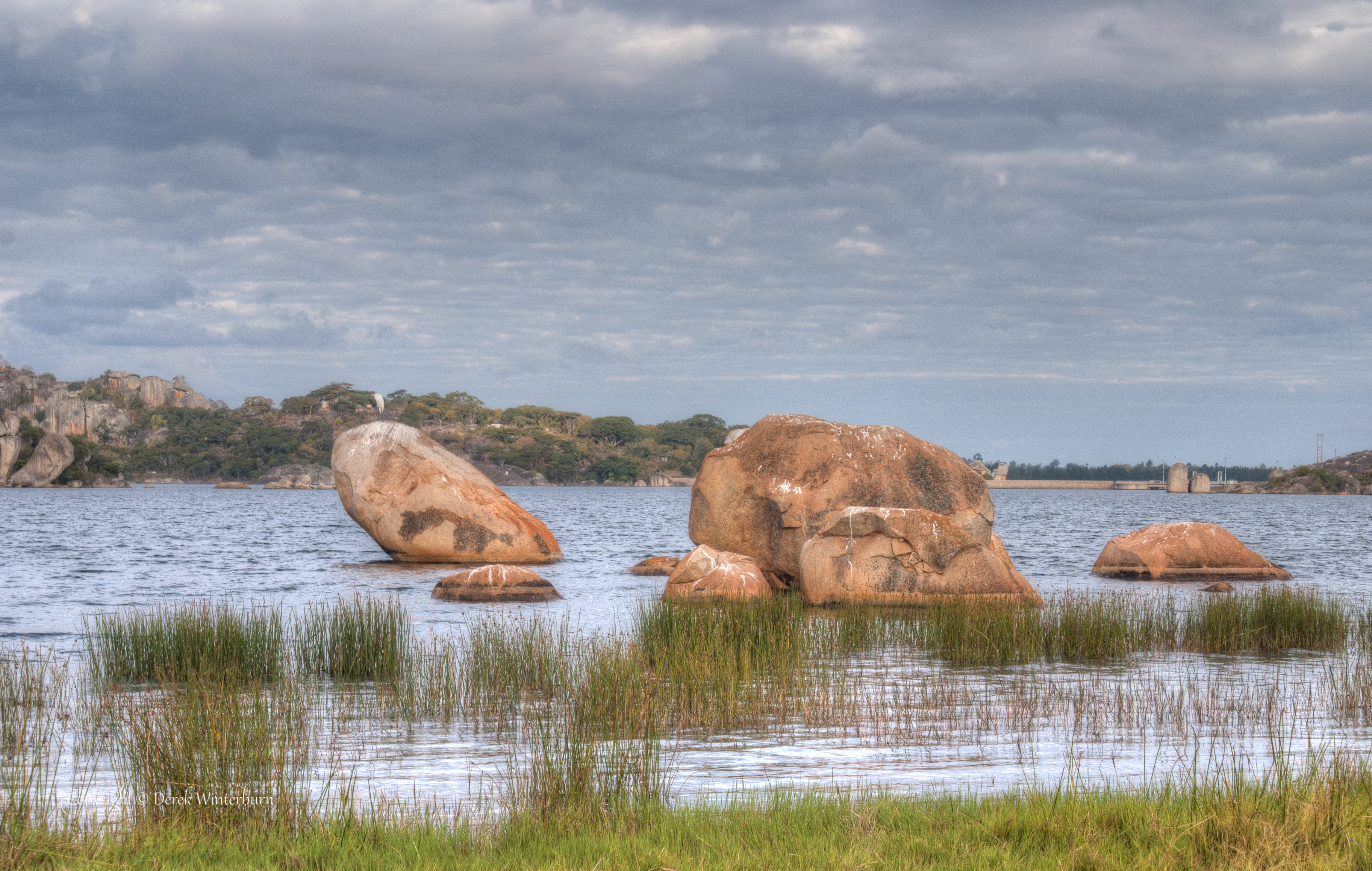
Lake Rusape 2
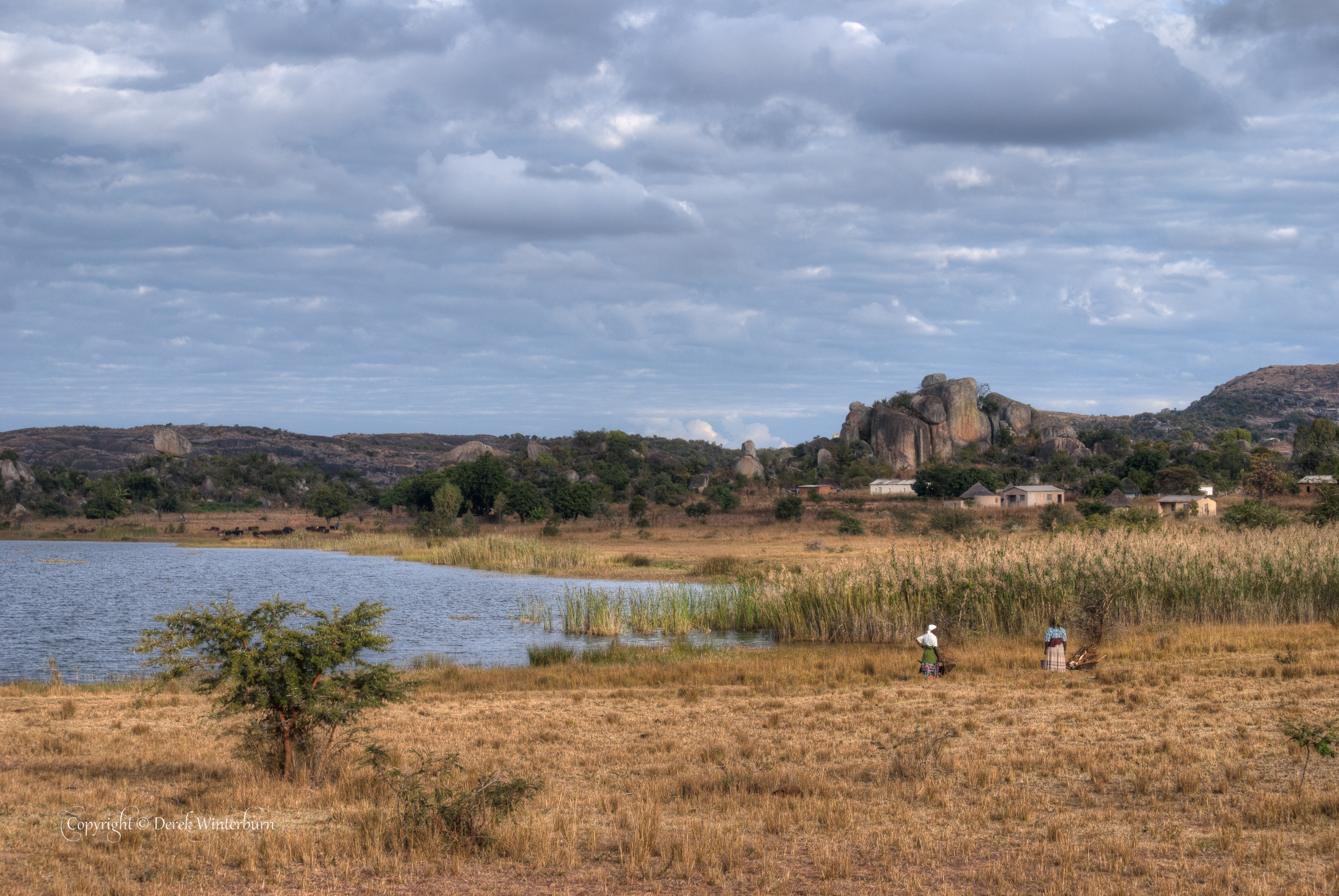
Lake Rusape 1

Primary School 2

Primary School 1
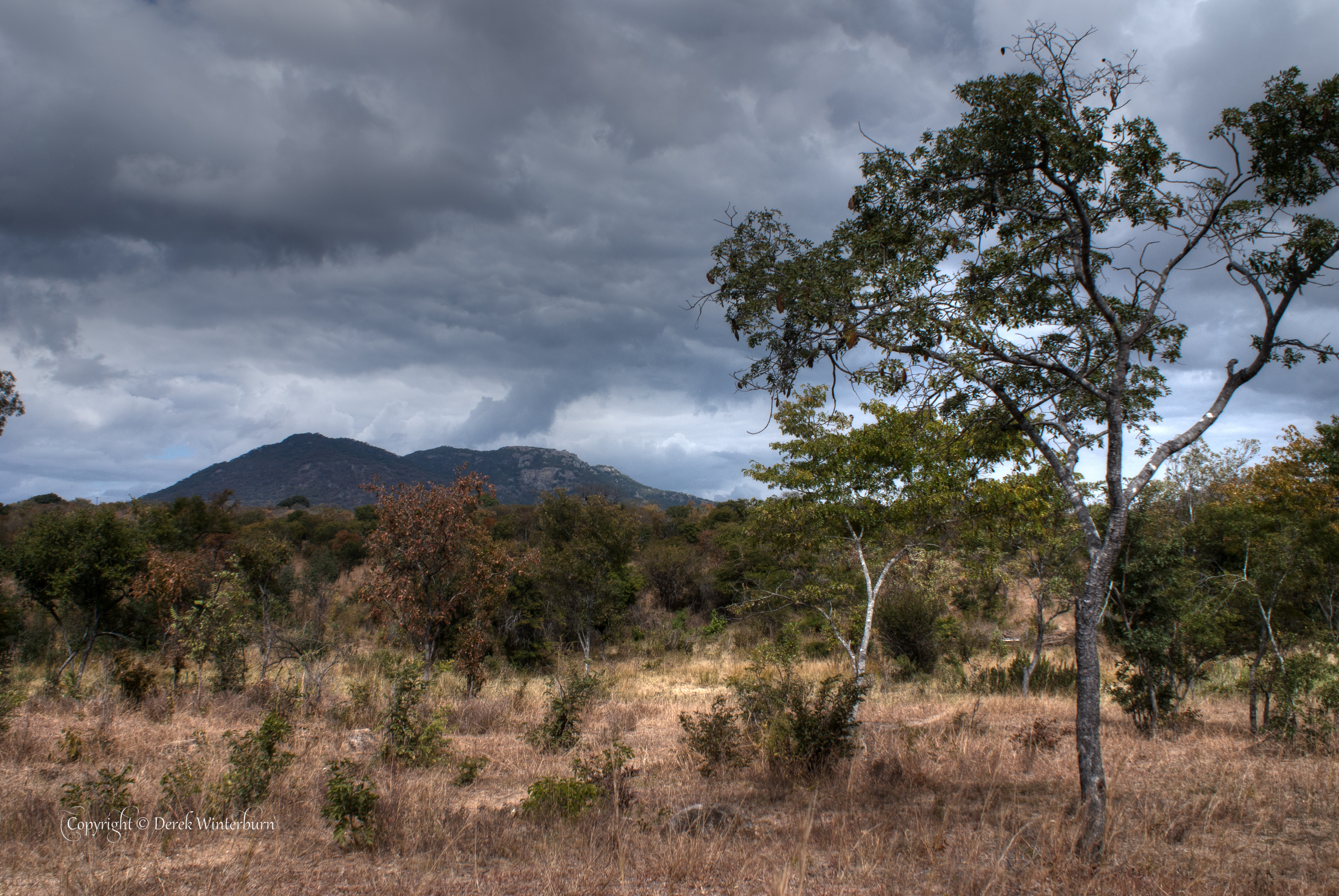
Bush at Tandi
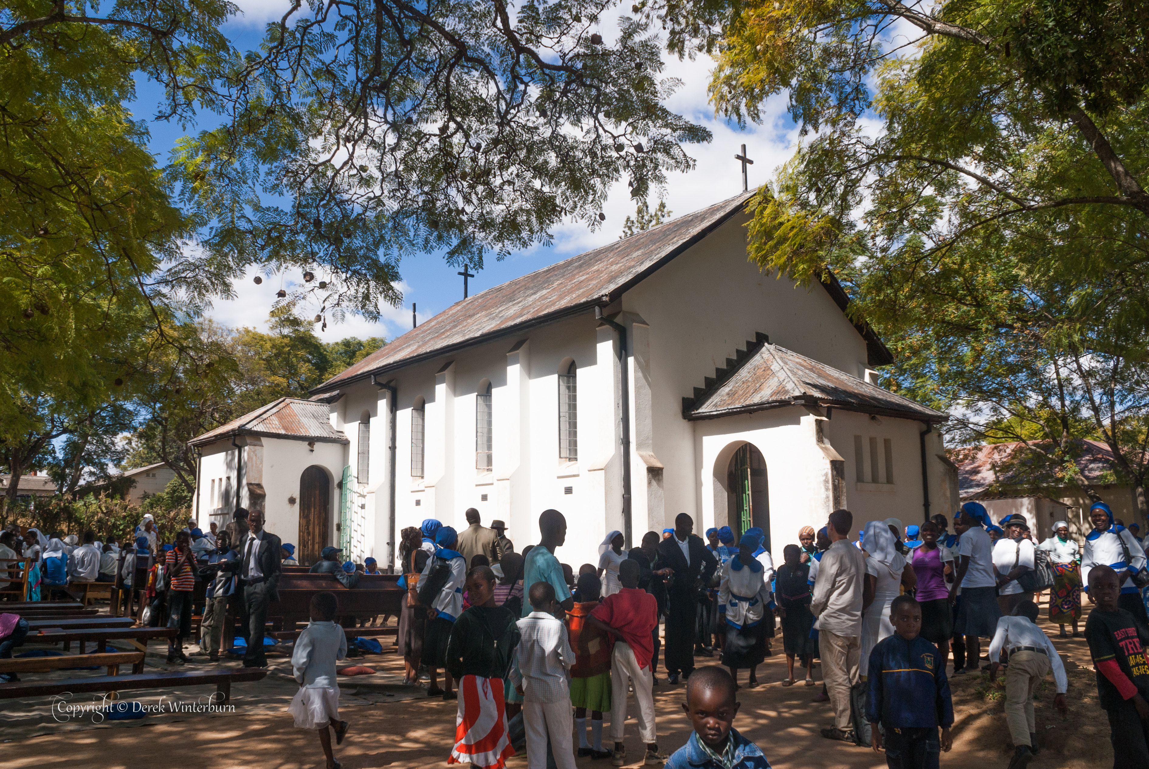
After Church- service was outside

Praying Mantis
Topographic Map of Rusape, Zimbabwe
Find elevation by address:

Places near Rusape, Zimbabwe:
Recent Searches:
- Elevation of Corso Fratelli Cairoli, 35, Macerata MC, Italy
- Elevation of Tallevast Rd, Sarasota, FL, USA
- Elevation of 4th St E, Sonoma, CA, USA
- Elevation of Black Hollow Rd, Pennsdale, PA, USA
- Elevation of Oakland Ave, Williamsport, PA, USA
- Elevation of Pedrógão Grande, Portugal
- Elevation of Klee Dr, Martinsburg, WV, USA
- Elevation of Via Roma, Pieranica CR, Italy
- Elevation of Tavkvetili Mountain, Georgia
- Elevation of Hartfords Bluff Cir, Mt Pleasant, SC, USA