Elevation of Running Cedar Drive, Running Cedar Dr, Egypt, NC, USA
Location: United States > North Carolina > Madison County > 3, Mars Hill > Mars Hill >
Longitude: -82.488795
Latitude: 35.9575243
Elevation: 1344m / 4409feet
Barometric Pressure: 86KPa
Elevation Map:
Satellite Map:
Related Photos:

Red Barn with Tree

Bald Mountain

Mars Theatre

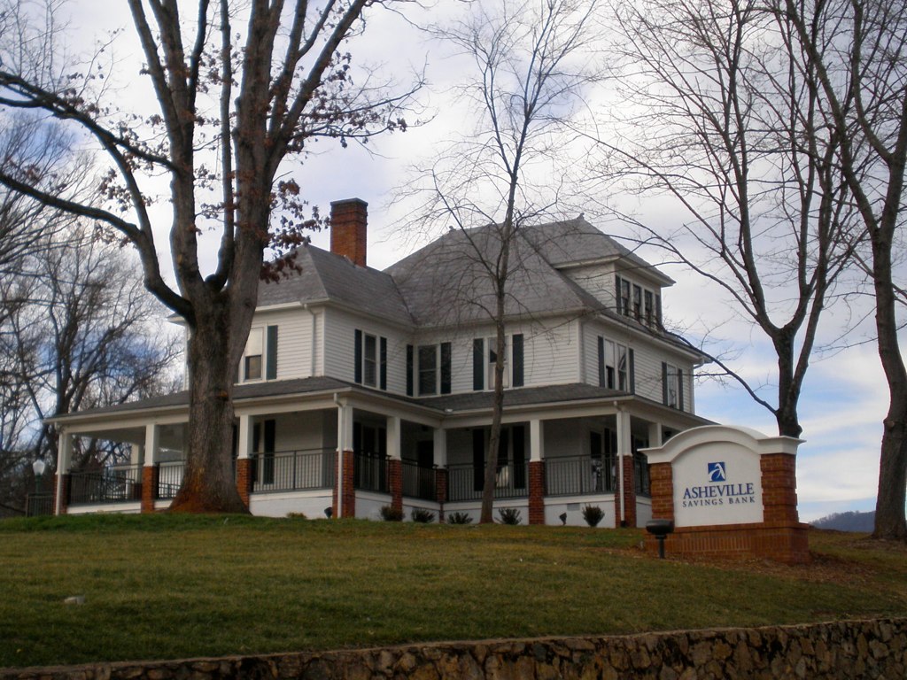
Old House ☛ New Bank

High Rock
View From the AT - from Divide Mtn looking at Sugarloaf

High Rock

Blue Ridge Sunrise

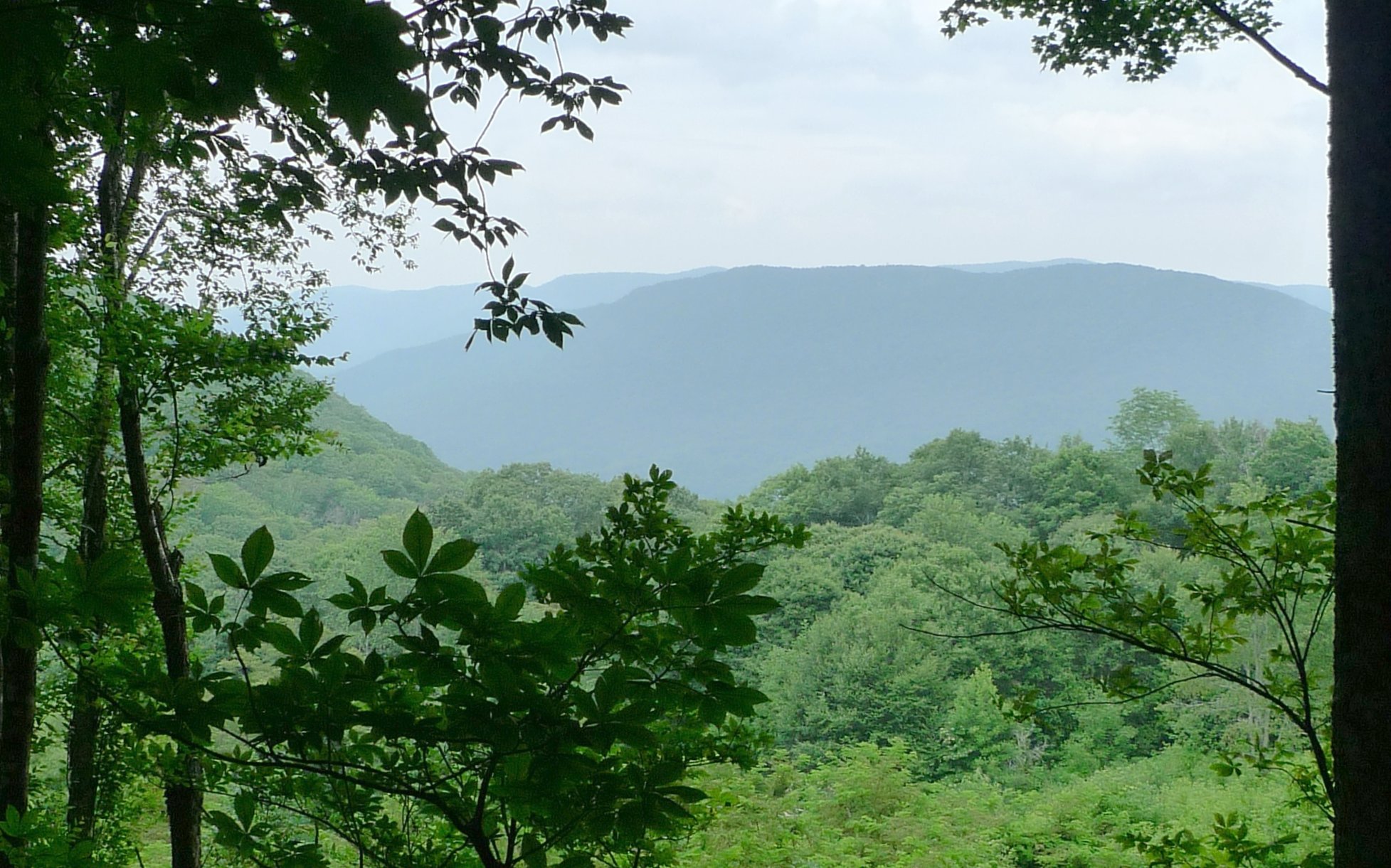
Western North Carolina Mountain View

Sunrise: Black Mountains, NC
The Bank

Appalachian Trail

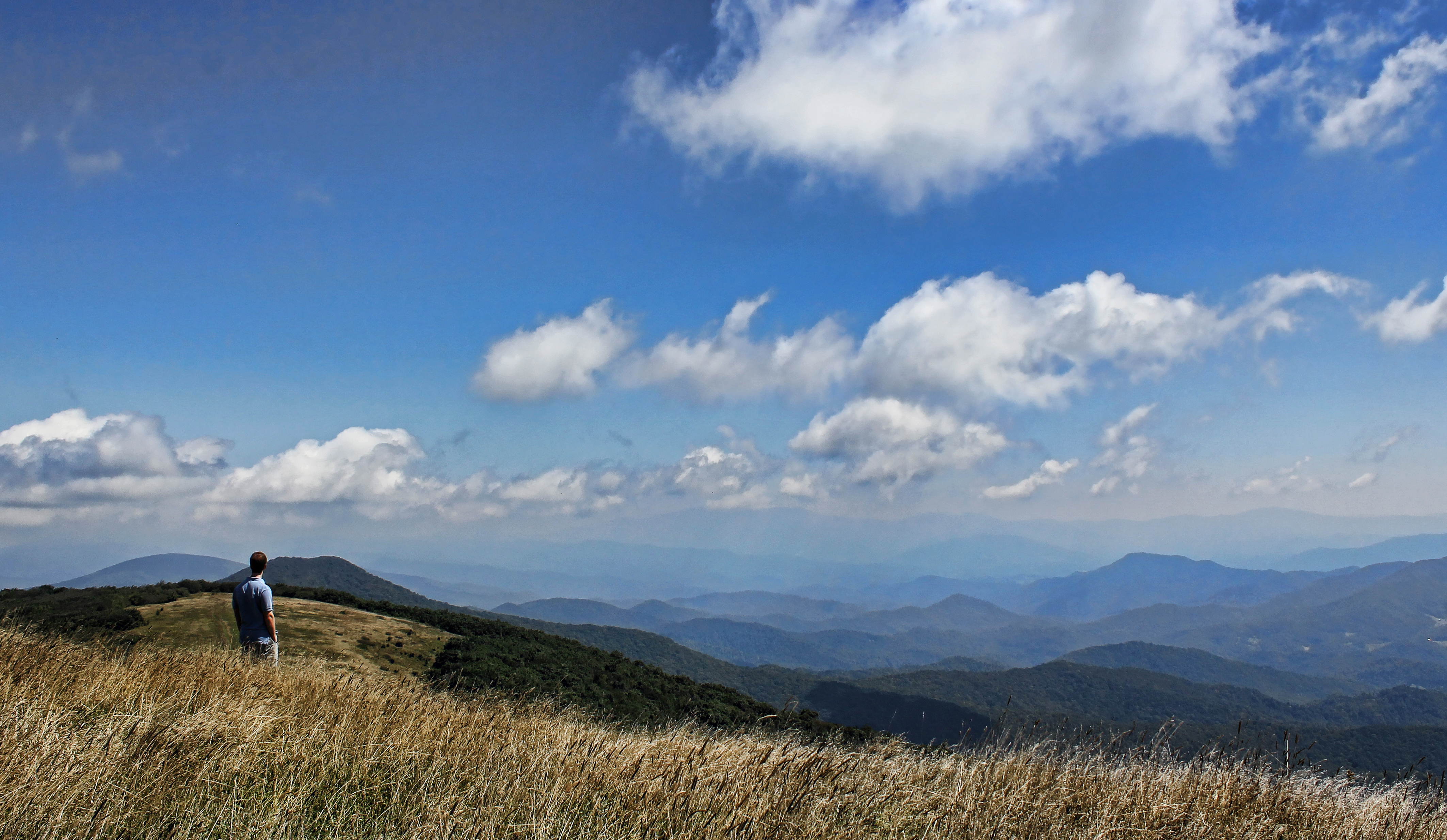
Big Bald

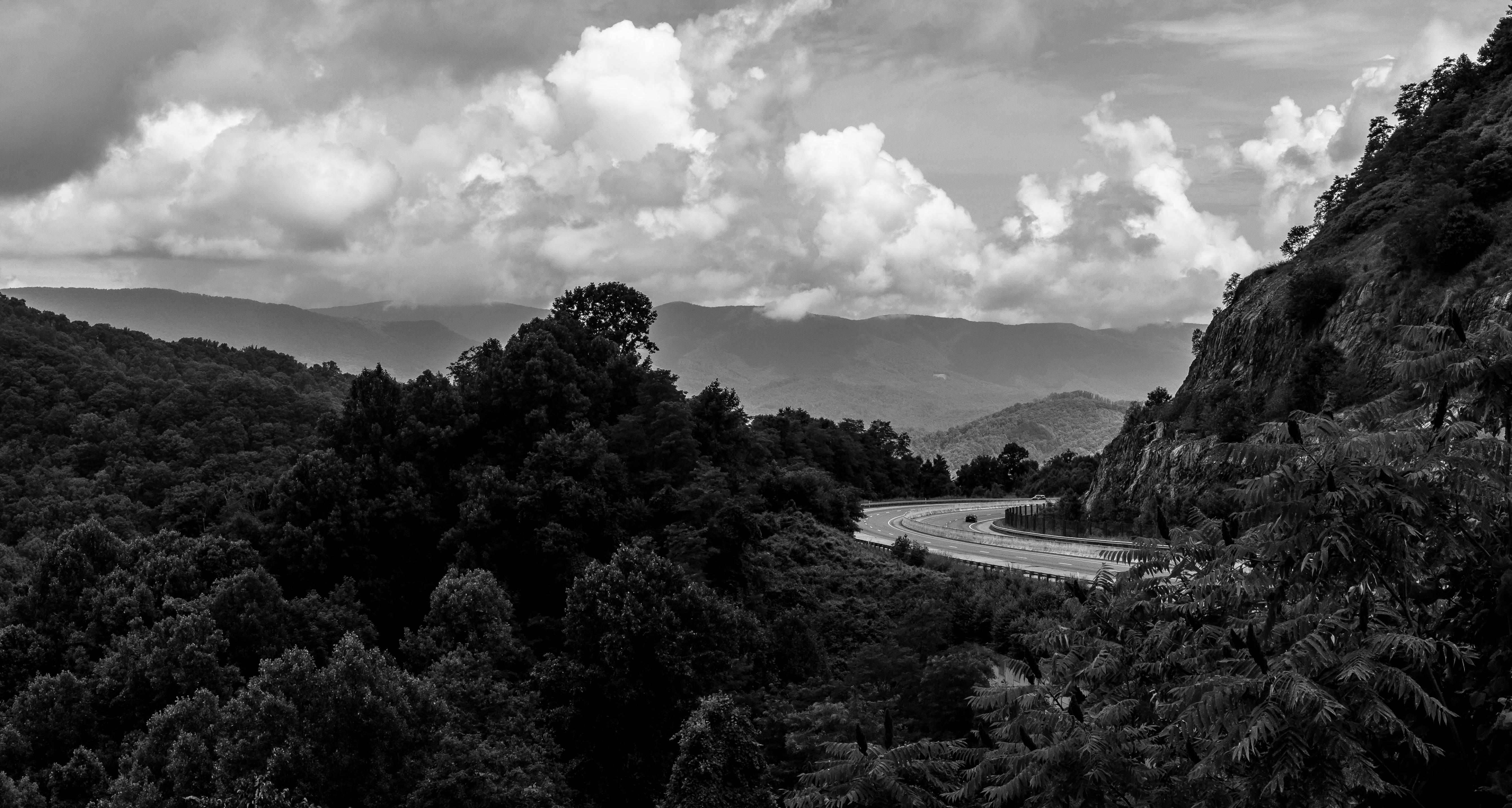
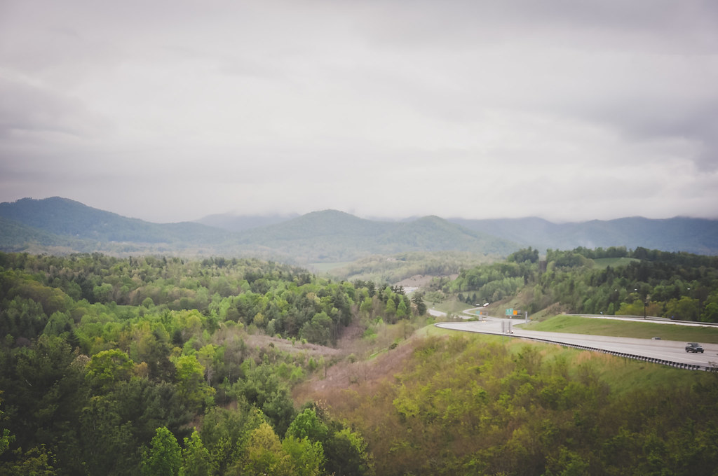
I-26 West view

Big Stamp

Bald Mountain

Appalachian Trail

Unaka Mountain View

Bald Mountain

Mountain Layers

church in the rain
Tennesee Colors

Bald Mountains Panorama 1 2014-1102
Around the Mountain at Sam's Gap

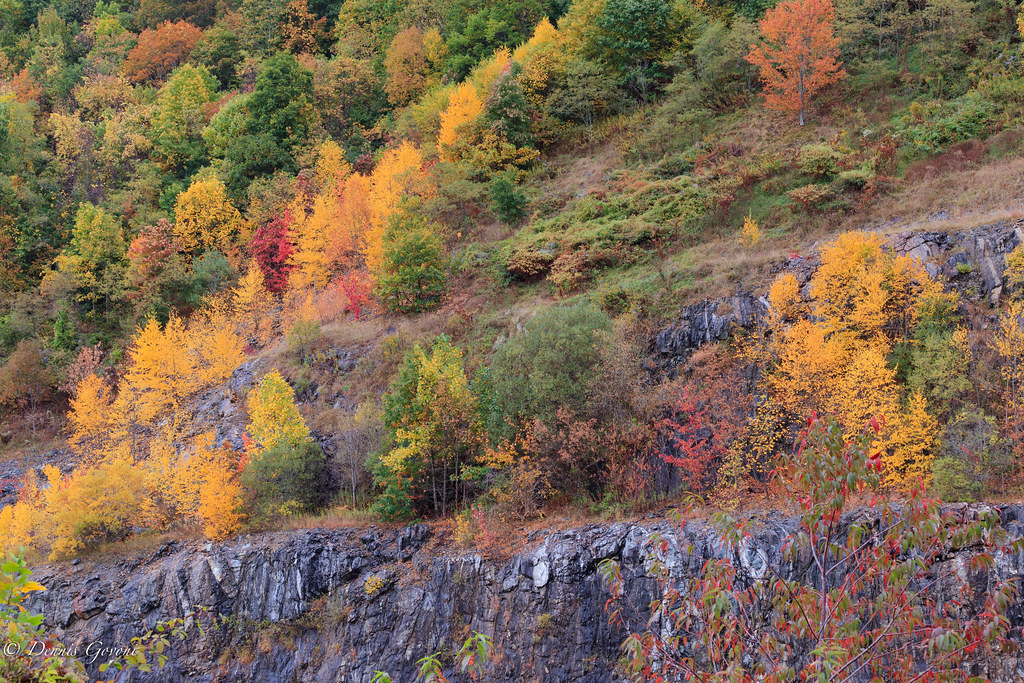
Autumn Frosting. . .

Nolichucky River and Mountains

Bench Monday: Tennessee Edition

Temple Hill Gap
Mountains in North Carolina

Blue Ridge Sunset (2014 07 03 -3796)
The Lookout
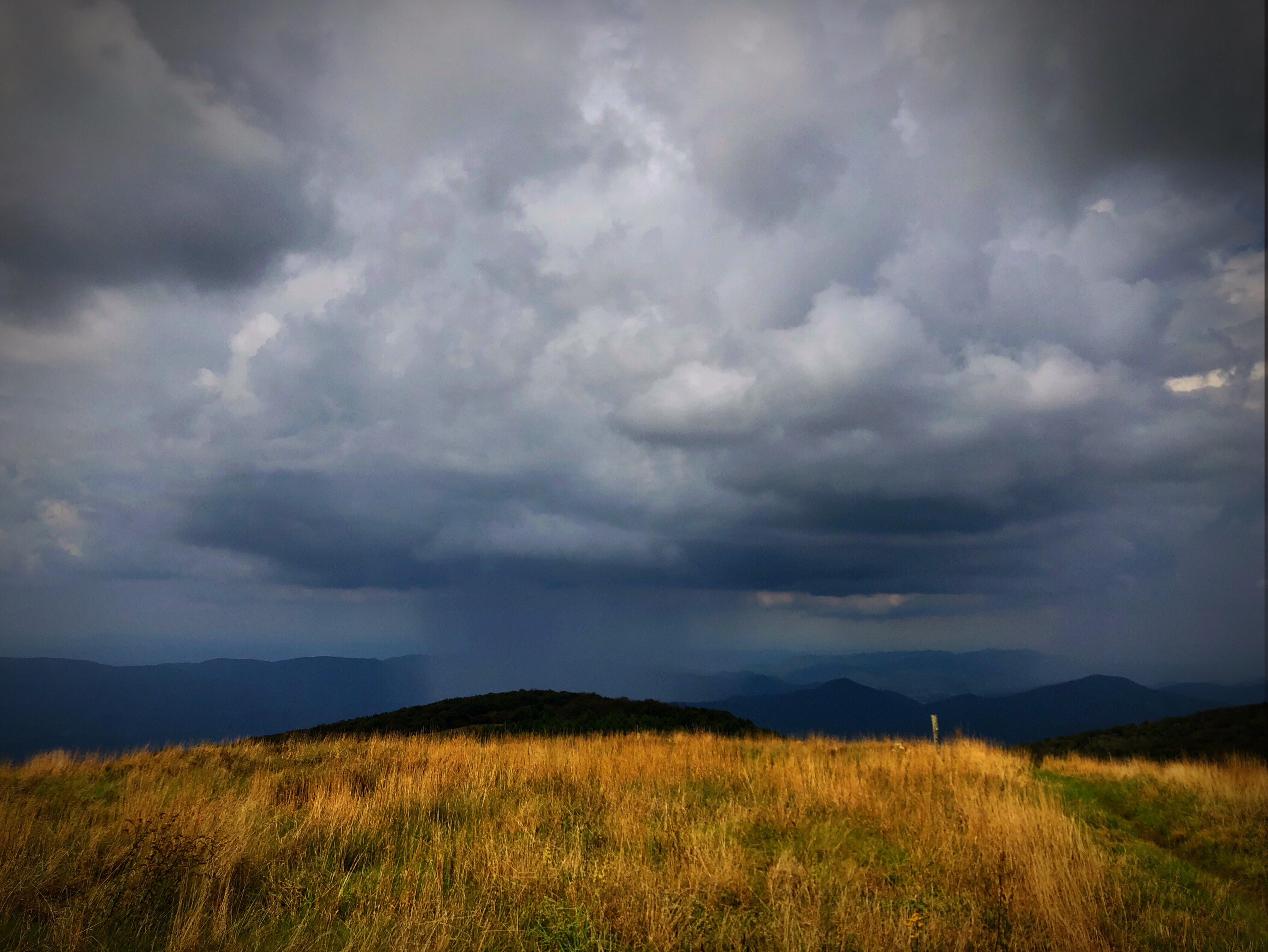
Raining in the Appalachian Mountains. Big Bald on the Appalachian Trail.
Topographic Map of Running Cedar Drive, Running Cedar Dr, Egypt, NC, USA
Find elevation by address:

Places near Running Cedar Drive, Running Cedar Dr, Egypt, NC, USA:
670 Overlook Dr
370 Upper Haw Dr
343 Chestnut Vlg
917 Upper Haw Dr
917 Upper Haw Dr
240 Upper Haw Dr
Lookout Drive
506 Upper Haw Dr
140 Upper Lookout Dr
39 Mountain Top Ln
39 Mountain Top Ln
1013 Mckinney Gap Rd
14 Zebulon Ln
3186 El Miner Dr
3096 El Miner Dr
295 Puncheon Ln
231 Bee Tree Ln
3305 El Miner Dr
70 Bee Tree Ln
99 Ginseng Trail
Recent Searches:
- Elevation of Corso Fratelli Cairoli, 35, Macerata MC, Italy
- Elevation of Tallevast Rd, Sarasota, FL, USA
- Elevation of 4th St E, Sonoma, CA, USA
- Elevation of Black Hollow Rd, Pennsdale, PA, USA
- Elevation of Oakland Ave, Williamsport, PA, USA
- Elevation of Pedrógão Grande, Portugal
- Elevation of Klee Dr, Martinsburg, WV, USA
- Elevation of Via Roma, Pieranica CR, Italy
- Elevation of Tavkvetili Mountain, Georgia
- Elevation of Hartfords Bluff Cir, Mt Pleasant, SC, USA