Elevation of Ruidoso, NM, USA
Location: United States > New Mexico > Lincoln County >
Longitude: -105.6588485
Latitude: 33.3672525
Elevation: 2154m / 7067feet
Barometric Pressure: 0KPa
Related Photos:
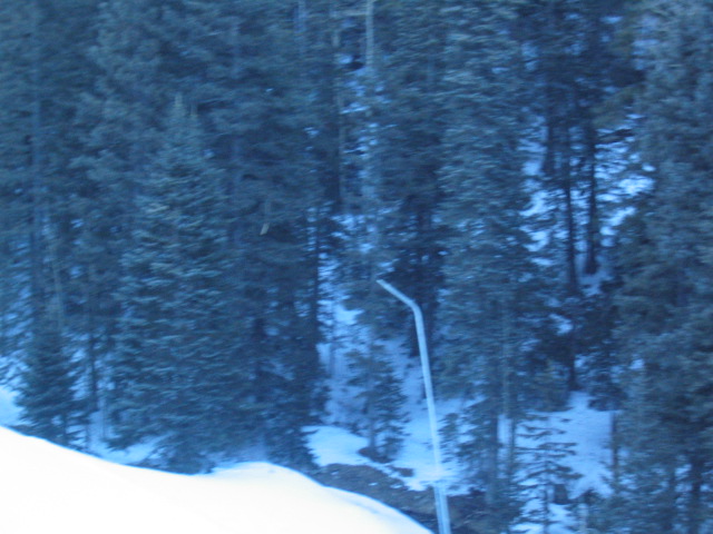
View from the lift
View From Ruidoso

View of the Mountain Gods

View From Sierra Blanca
View from the parking lot

Sierra Blanca peak

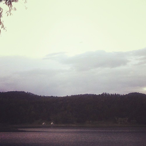
My view right now.
Capitan mountains

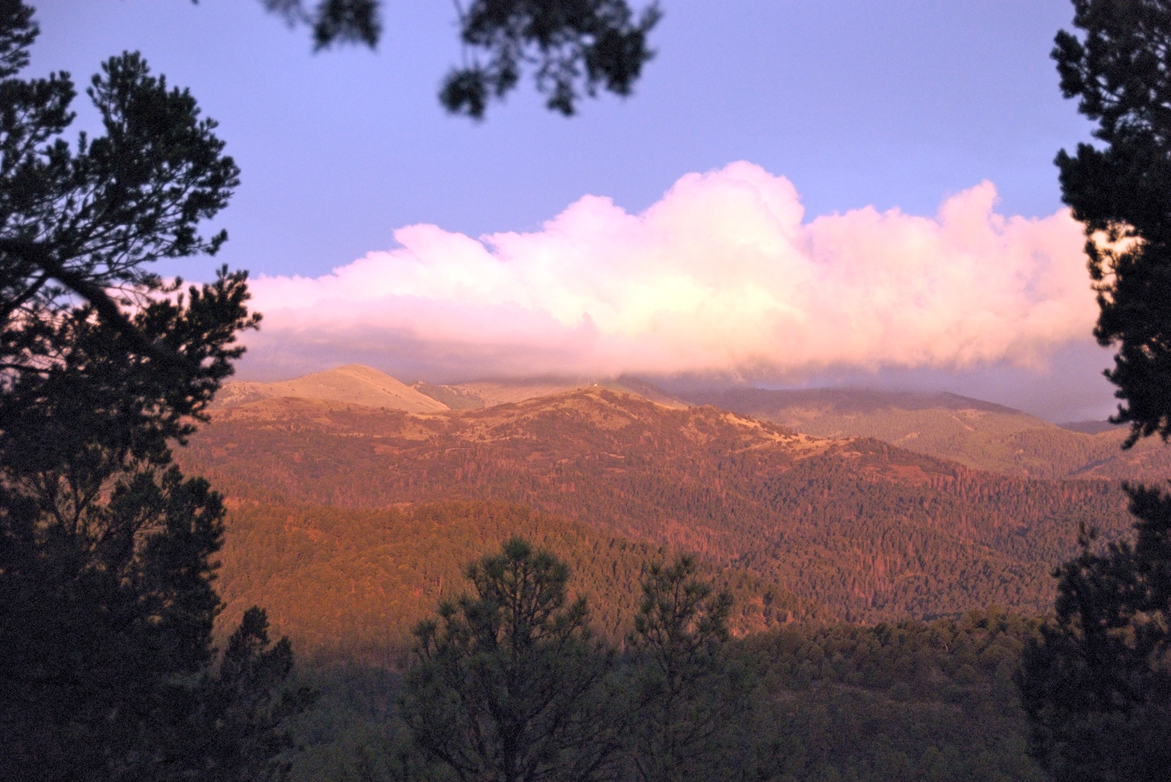
Beautiful view
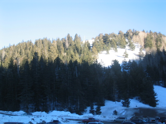
A view of the slopes to the East.

Sierra Blanca peak

View from the cabin

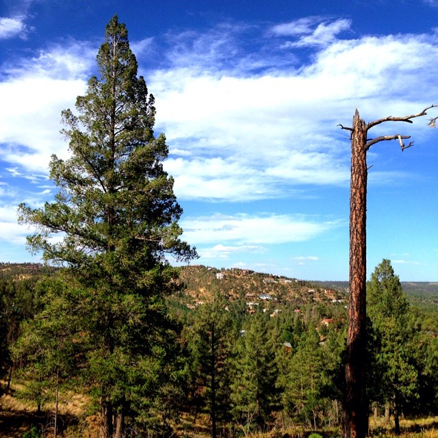
Mountain views, Ruidoso
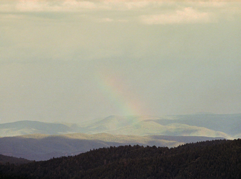
Rainbow range

Rainbow range revisited

View from Lookout Point
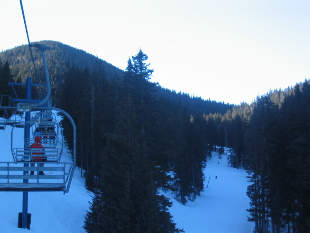
View from the lift
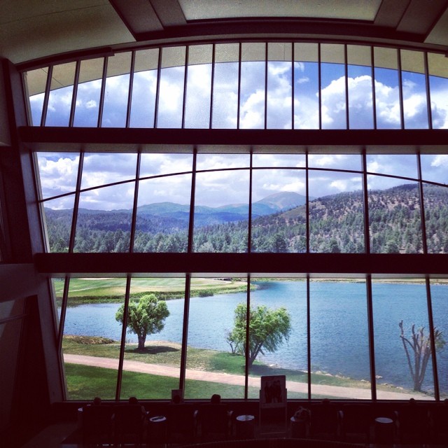
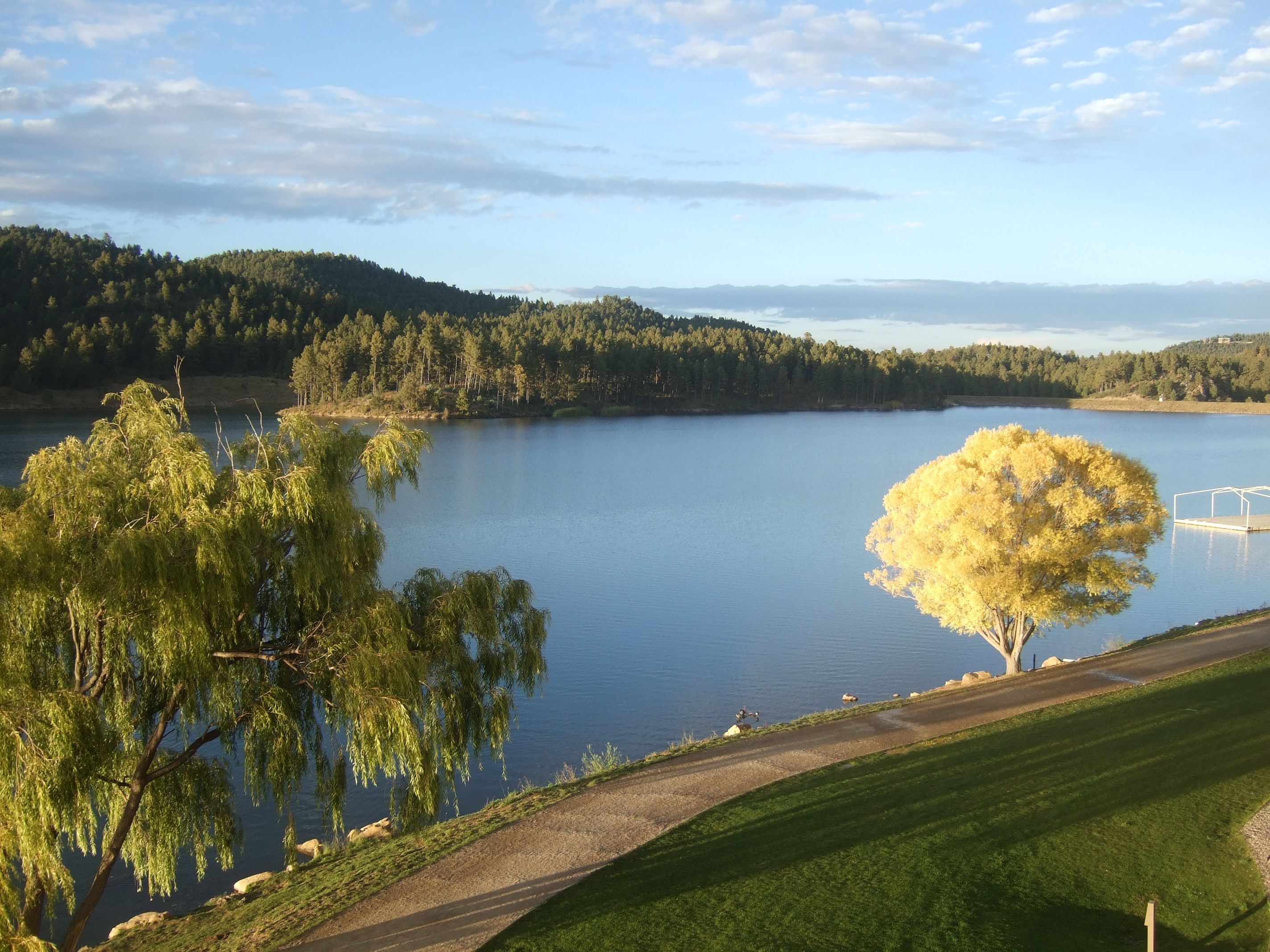
A view of the lake and the mountains from the hotel lobby.

Mountain views, Ruidoso

Mountain views, Ruidoso
What a view...

BonitaLake2013#2
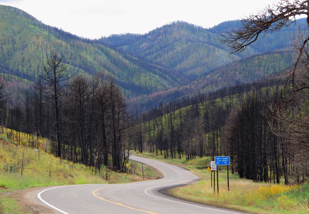
A Scenic Drive Through the Black Sticks

Storm over Alto, New Mexico

Rio Grande River - new Mexico

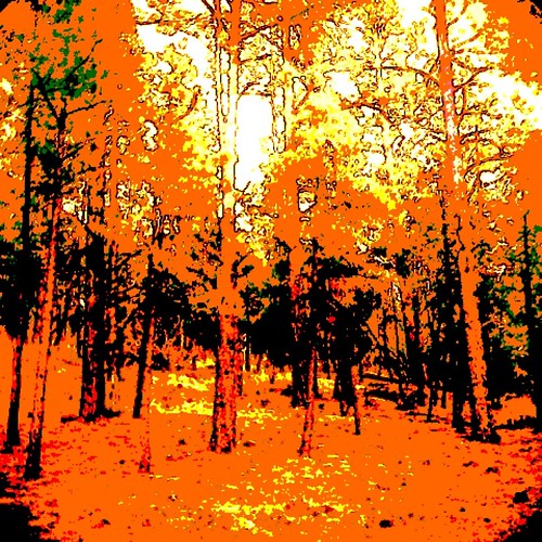
Fire Scars

1ds2-7802
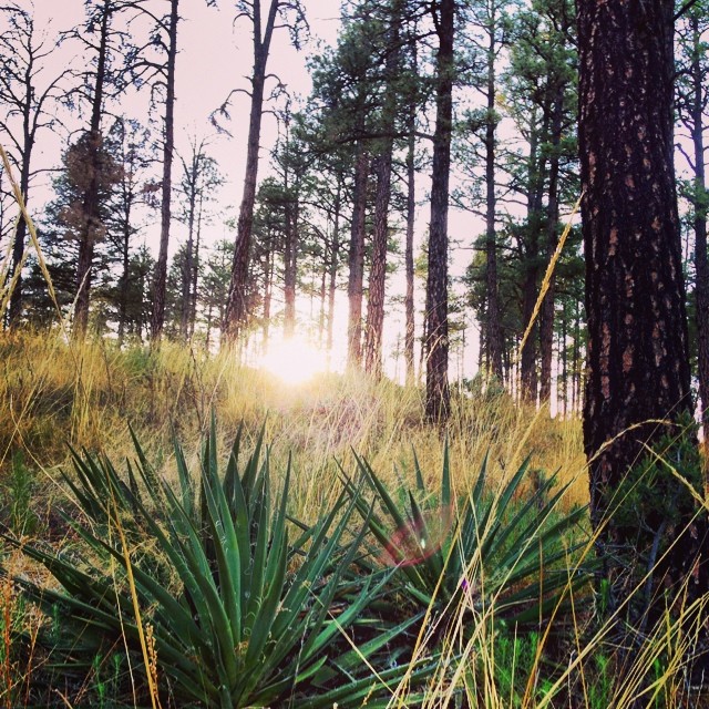
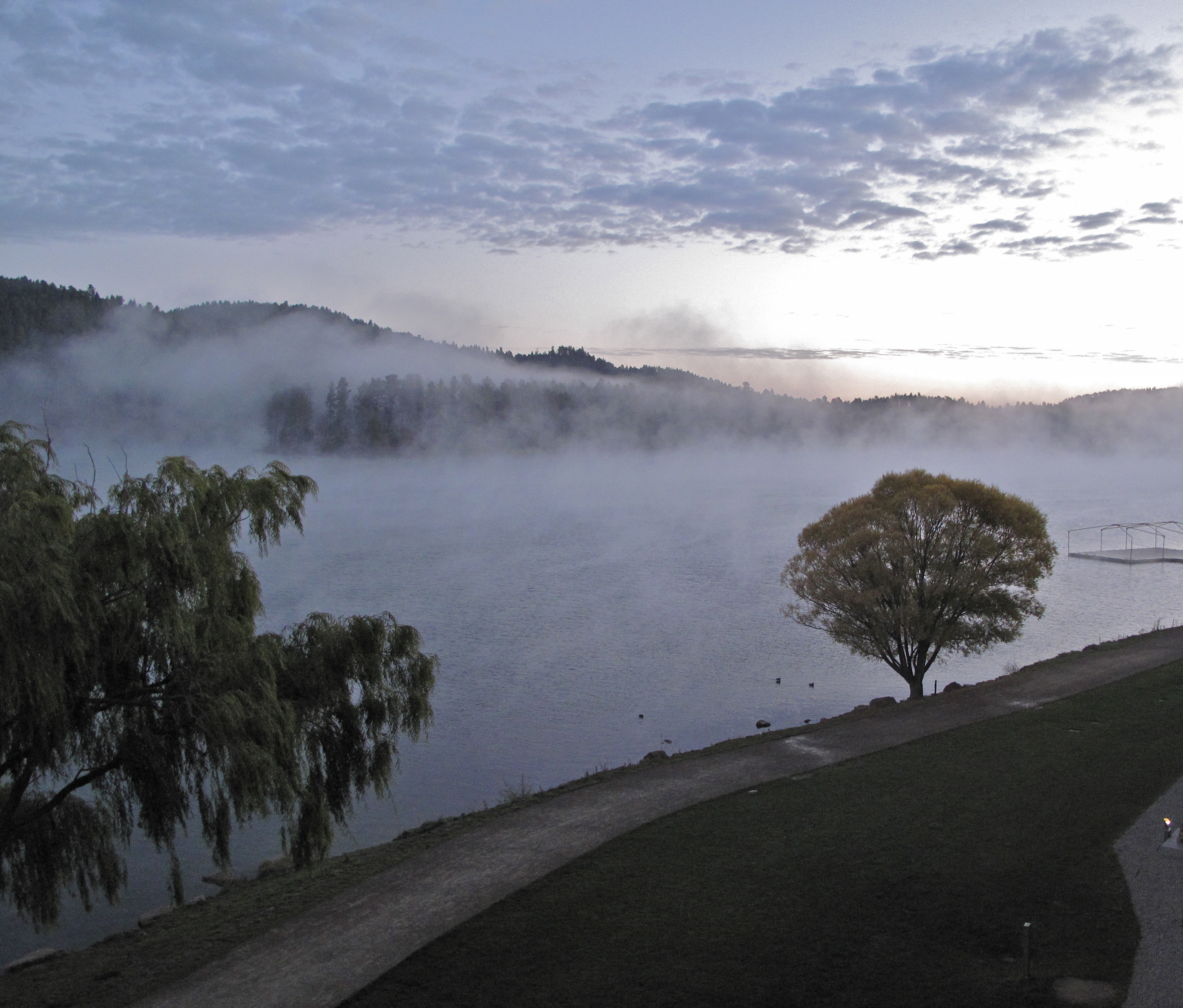
Sunset through the forest.
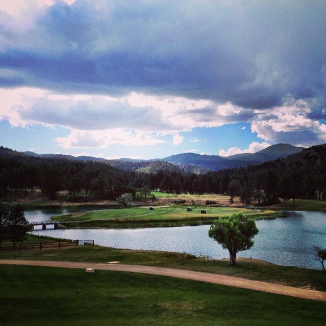
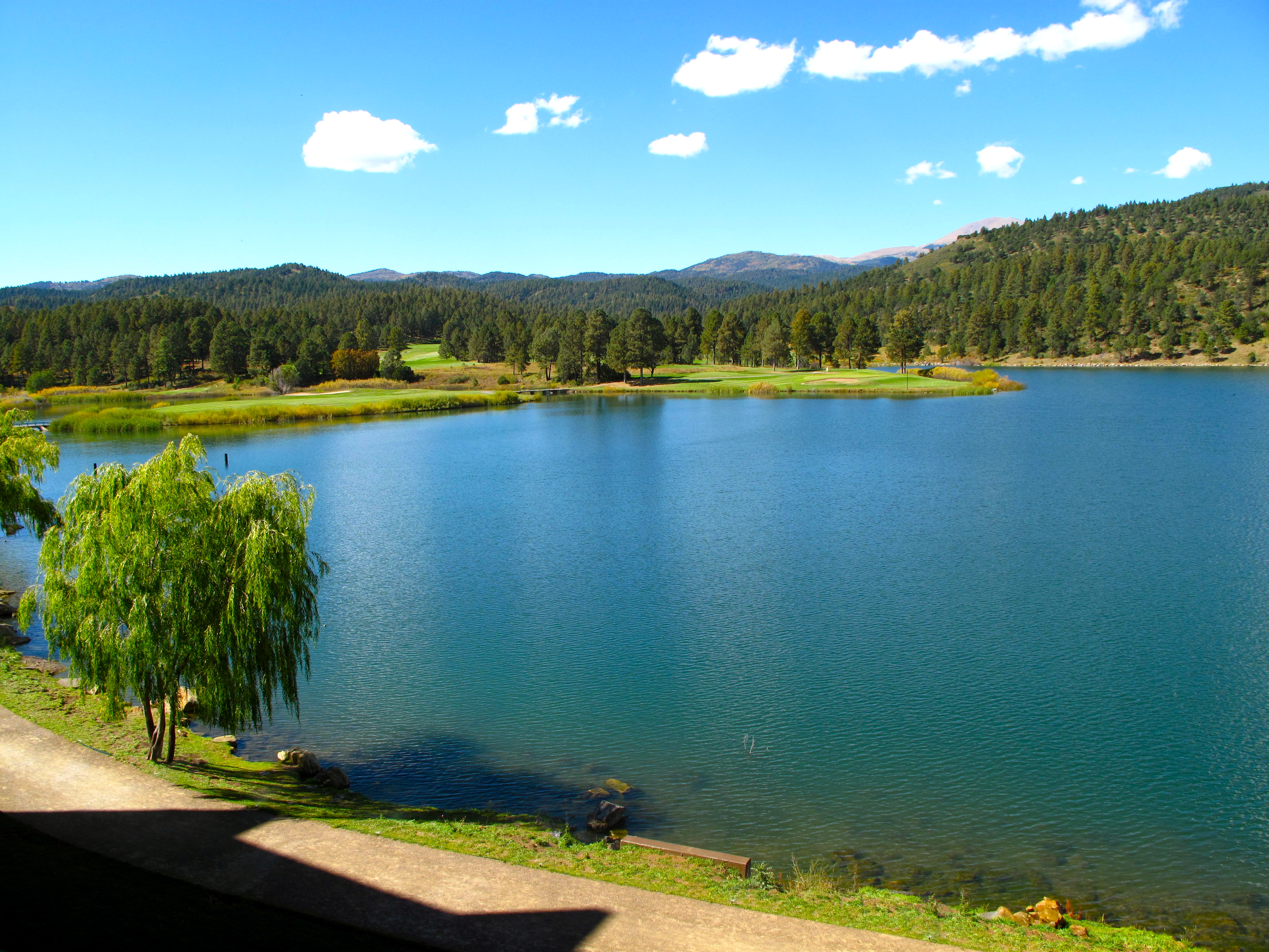
Golf by the lake. I don't play, but if I did...
Inn of the Mountain Gods

1ds2-7798

Painted Lady

IMG_0407.JPG

Summer Rain in Alto, New Mexico

Lincoln National Forest, NM
Inn of the Mountain Gods

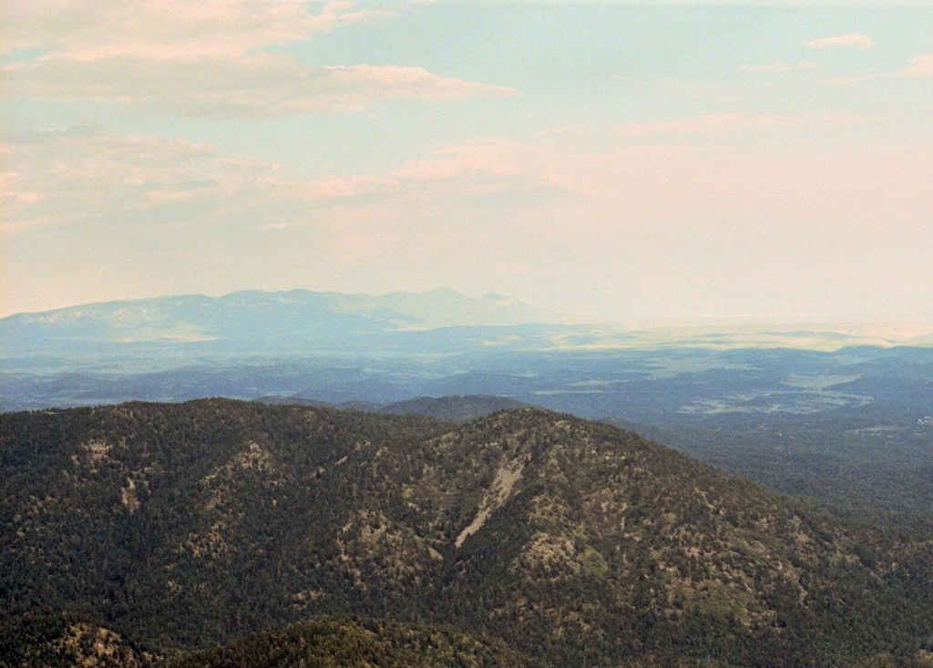
Panorama of the mountains
After the Deer
Inn of the Mountain Gods
Topographic Map of Ruidoso, NM, USA
Find elevation by address:

Places in Ruidoso, NM, USA:
127 Gavilan Hills Rd
200 Sequoia Dr
320 S Oak Dr
410 Main Rd
504 Excalibur Rd
118 N Loop Rd
300 Main Rd
116 Alhambra Dr
264 Hemlock Cir
1016 Mechem Dr
117 Debord Dr
Ruidoso, NM, USA
103 Hummingbird Ln
White Mountain Meadows Drive
101 Main Rd
130 Ebarb Dr
601 Mechem Dr
NM-48, Alto, NM, USA
204 Grove Dr
Gavilan Ridge
Moon Mountain
213 Juniper Rd
Pinecliff Village Resort
108 Bradley Dr
Dude Mesa
120 Whirlaway Dr
103 Abbey Pl
908 Hull Rd
609 Wingfield St #6
105 Keys Dr
805 Hull Rd
109 Timberon Trail
Kaibab Drive
105 Keys Dr
Buckner Drive
106 Toboggan Trail
290 Eagle Creek Canyon
508 Sudderth Dr
525 Gavilan Canyon Rd
Ruidoso High School
300 Forest Ln
303 Racquet Dr #23
2nd Street
714 Center St
George P White Drive
609 Wingfield St #24
318 Heath Dr
220 Lookout Dr
102 Raymond Buckner Dr Unit 16
126 Ebarb Dr #0
126 Ebarb Dr #0
Avalon Court
303 Racquet Dr
Links At Sierra Blanca
King Arthurs Court
Roblito Road
Shadow Mountain Lodge And Cabins
Mama Bear's Den Two-bedroom Holiday Home
Hummingbird Cabins
South Slope Casita - Two Bedroom Cabin
113 Granite Dr
422 Main Rd
618 1st St
620 1st St
200 Oak Grove Pl
Upper Canyon Inn & Cabins
112 Shadow Ln
112 Shadow Ln
Sunny Lane
427 White Mountain Meadows Dr
528 Mountain High Circle
129 Coronado Dr
Gavilan Canyon Road
26060 Us-70
605 White Mountain Meadows Dr
220 Crown Dr
124 San Miguel Dr
104 Wildwood Dr
264 Hemlock Cir
250 Top Side Dr
431 Main Rd
241 Yellow Pine Rd
116 Torreon Loop
Places near Ruidoso, NM, USA:
303 Racquet Dr #23
113 Granite Dr
303 Racquet Dr
102 Raymond Buckner Dr Unit 16
George P White Drive
South Slope Casita - Two Bedroom Cabin
Hummingbird Cabins
908 Hull Rd
White Mountain Meadows Drive
805 Hull Rd
Links At Sierra Blanca
124 San Miguel Dr
605 White Mountain Meadows Dr
318 Heath Dr
Kaibab Drive
427 White Mountain Meadows Dr
250 Top Side Dr
200 Sequoia Dr
Ruidoso, NM, USA
Roblito Road
Recent Searches:
- Elevation of 8, Rue de Bécancour, Blainville, Thérèse-De Blainville, Quebec, J7B1N2, Canada
- Elevation of Wilmot Court North, 163, University Avenue West, Northdale, Waterloo, Region of Waterloo, Ontario, N2L6B6, Canada
- Elevation map of Panamá Province, Panama
- Elevation of Balboa, Panamá Province, Panama
- Elevation of San Miguel, Balboa, Panamá Province, Panama
- Elevation of Isla Gibraleón, San Miguel, Balboa, Panamá Province, Panama
- Elevation of 4655, Krischke Road, Schulenburg, Fayette County, Texas, 78956, USA
- Elevation of Carnegie Avenue, Downtown Cleveland, Cleveland, Cuyahoga County, Ohio, 44115, USA
- Elevation of Walhonding, Coshocton County, Ohio, USA
- Elevation of Clifton Down, Clifton, Bristol, City of Bristol, England, BS8 3HU, United Kingdom
- Elevation map of Auvergne-Rhône-Alpes, France
- Elevation map of Upper Savoy, Auvergne-Rhône-Alpes, France
- Elevation of Chamonix-Mont-Blanc, Upper Savoy, Auvergne-Rhône-Alpes, France
- Elevation of 908, Northwood Drive, Bridge Field, Chesapeake, Virginia, 23322, USA
- Elevation map of Nagano Prefecture, Japan
- Elevation of 587, Bascule Drive, Oakdale, Stanislaus County, California, 95361, USA
- Elevation of Stadion Wankdorf, Sempachstrasse, Breitfeld, Bern, Bern-Mittelland administrative district, Bern, 3014, Switzerland
- Elevation of Z024, 76, Emil-von-Behring-Straße, Marbach, Marburg, Landkreis Marburg-Biedenkopf, Hesse, 35041, Germany
- Elevation of Gaskill Road, Hunts Cross, Liverpool, England, L24 9PH, United Kingdom
- Elevation of Speke, Liverpool, England, L24 9HD, United Kingdom