Elevation of Rugby Rd, Mouth of Wilson, VA, USA
Location: United States > Virginia > Grayson County > Wilson Creek > Mouth Of Wilson >
Longitude: -81.450215
Latitude: 36.611153
Elevation: 962m / 3156feet
Barometric Pressure: 90KPa
Elevation Map:
Satellite Map:
Related Photos:

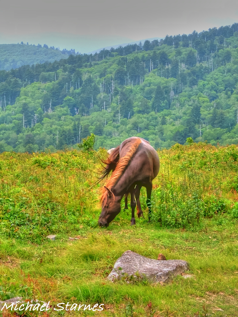
Wilburn Ridge Trail
Morning on Wilburn Ridge
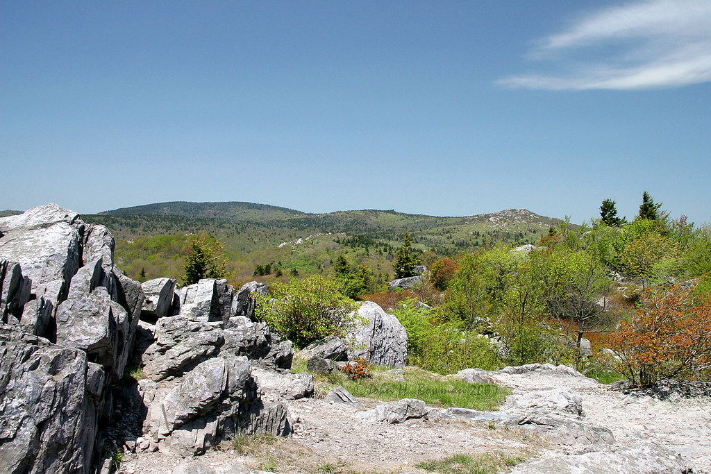
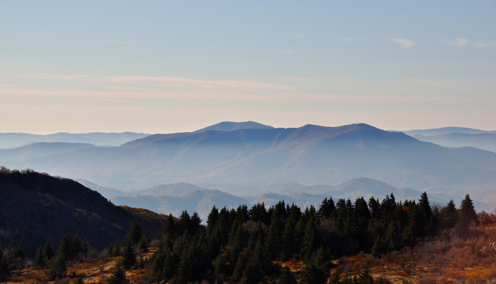
Grayson Highlands

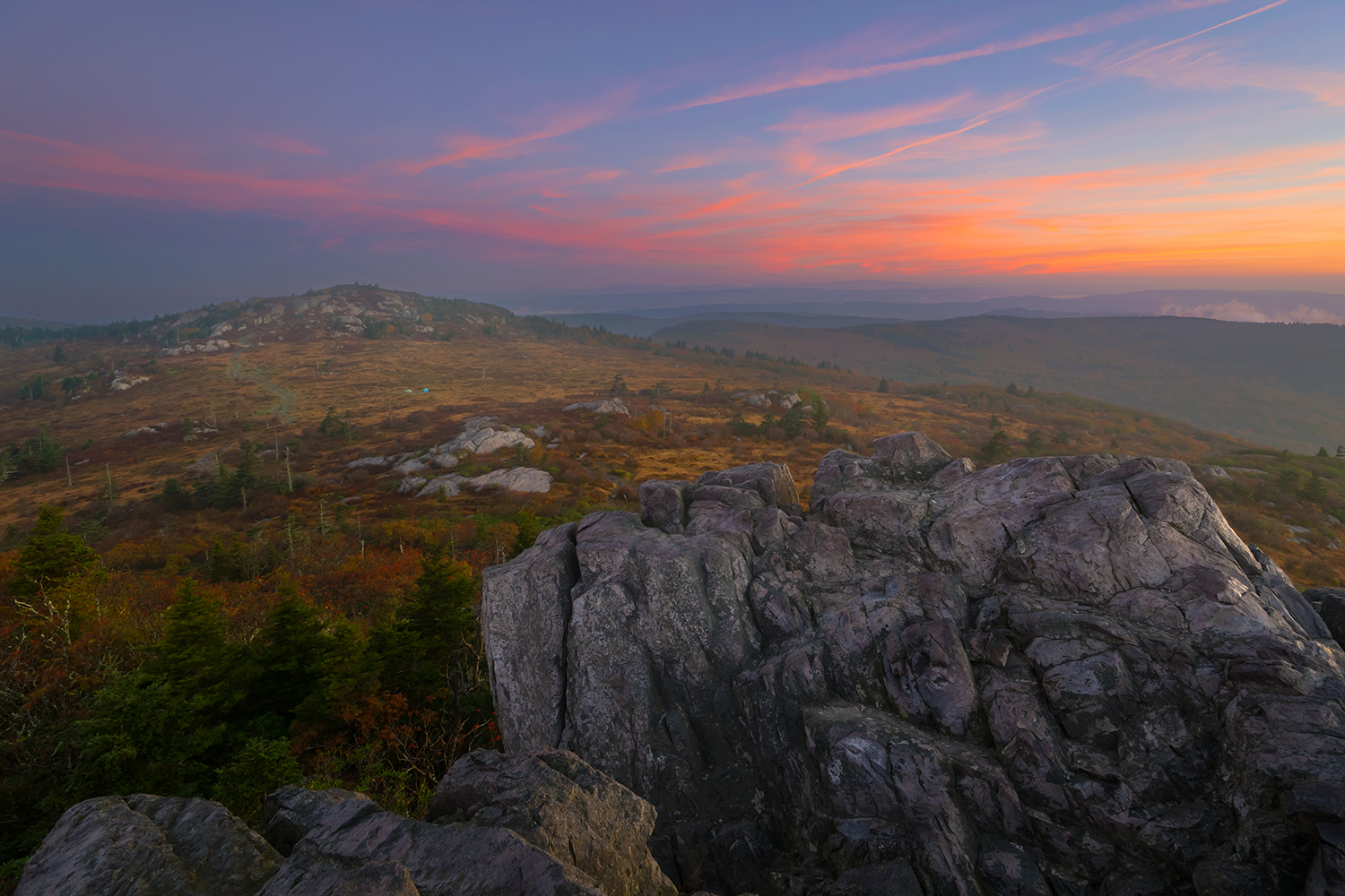
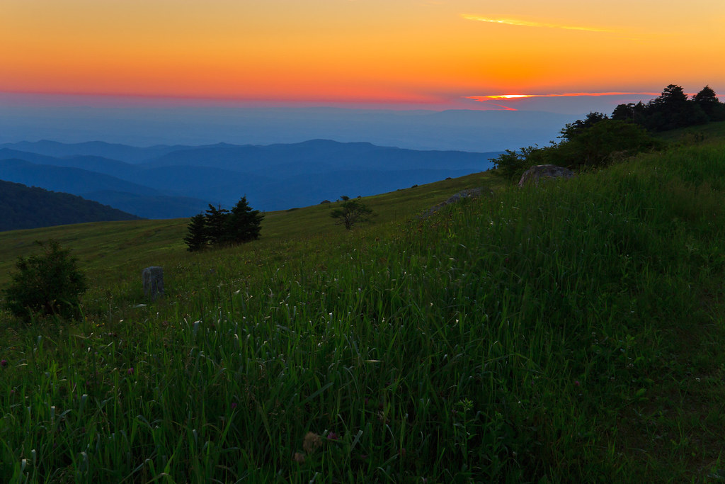
Grayson Highlands Sunset
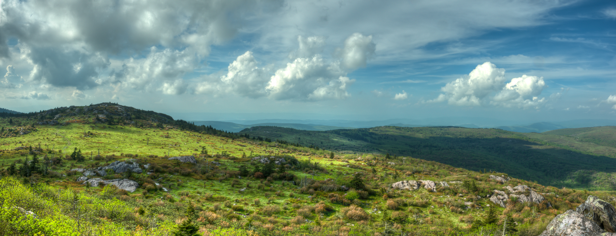
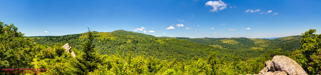
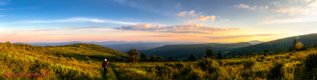
Wilburn Ridge Pano

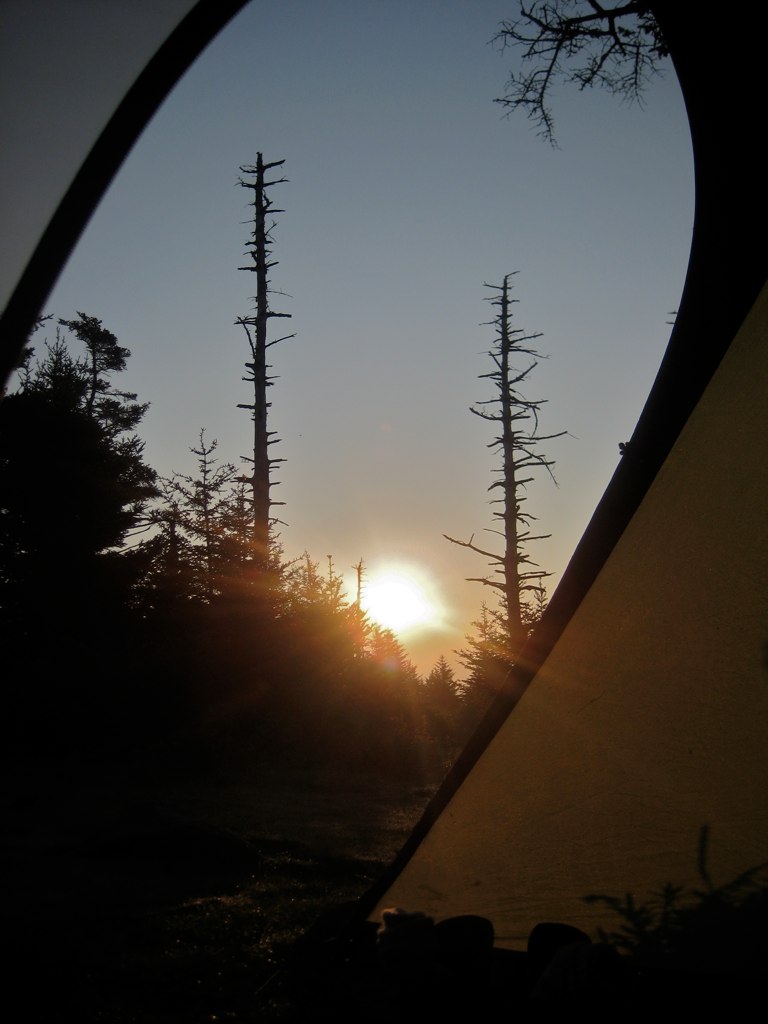
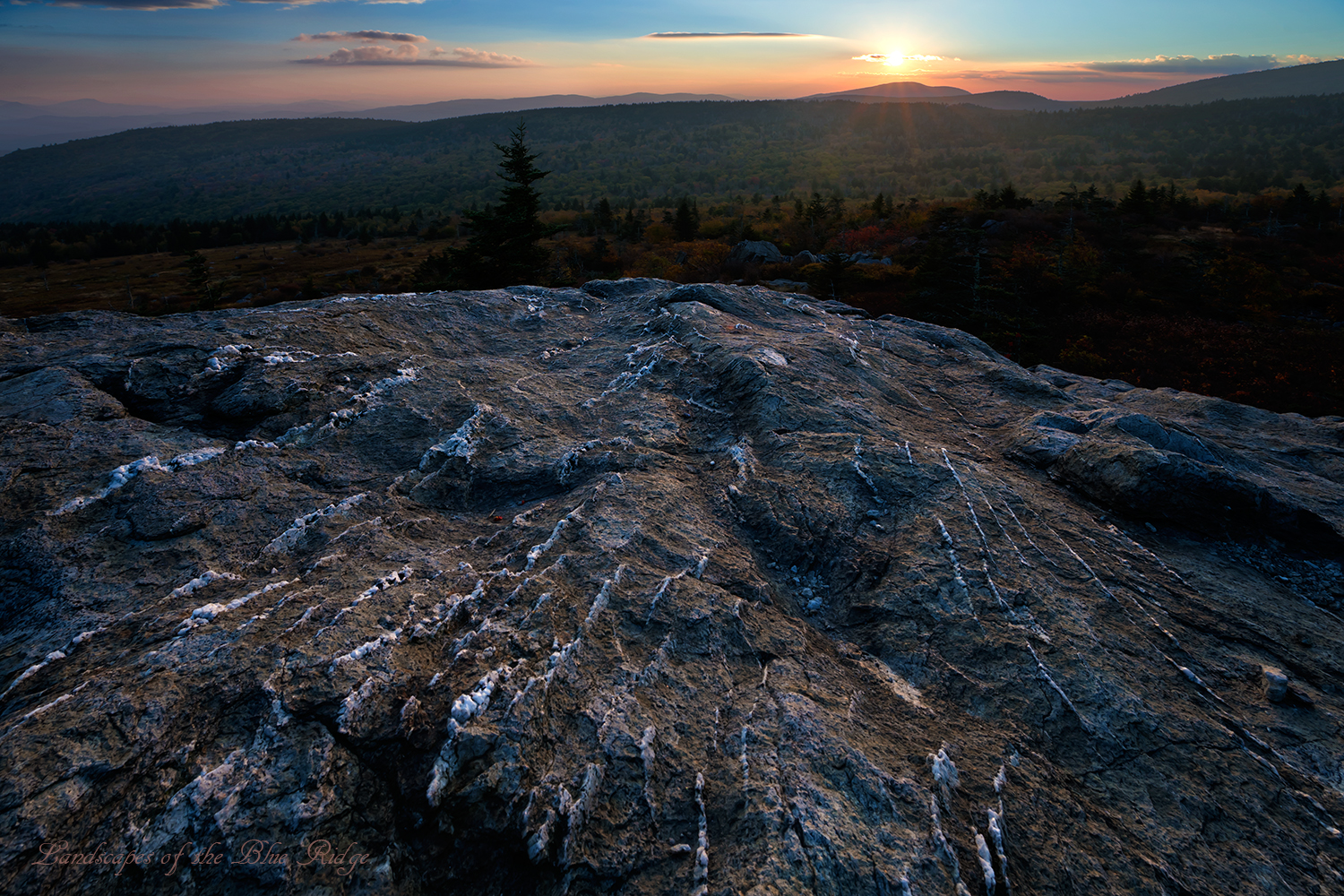
Wilburn Ridge Sunrise

Nuclear Blast

Old New River House

Mobile Home

View Toward Buzzard Rocks from Whitetop Mountain - Mt. Rogers, NRA, Whitetop, VA
3D Grayson Highlands Park

View From Whitetop Summit I - Mt. Rogers, NRA, Whitetop, VA
Sunset on White Top

Appalachian Yorkie
Morning in the Grayson Highlands
Mt Rogers Backpack - Another view on the AT - July 5, 2014

3D Grayson Highlands Park

RAD20130320.08 White Top

IMG_5371.jpg
Room With A View

Valley view from Grayson Highlands State Park

Wilburn Ridge Sunset
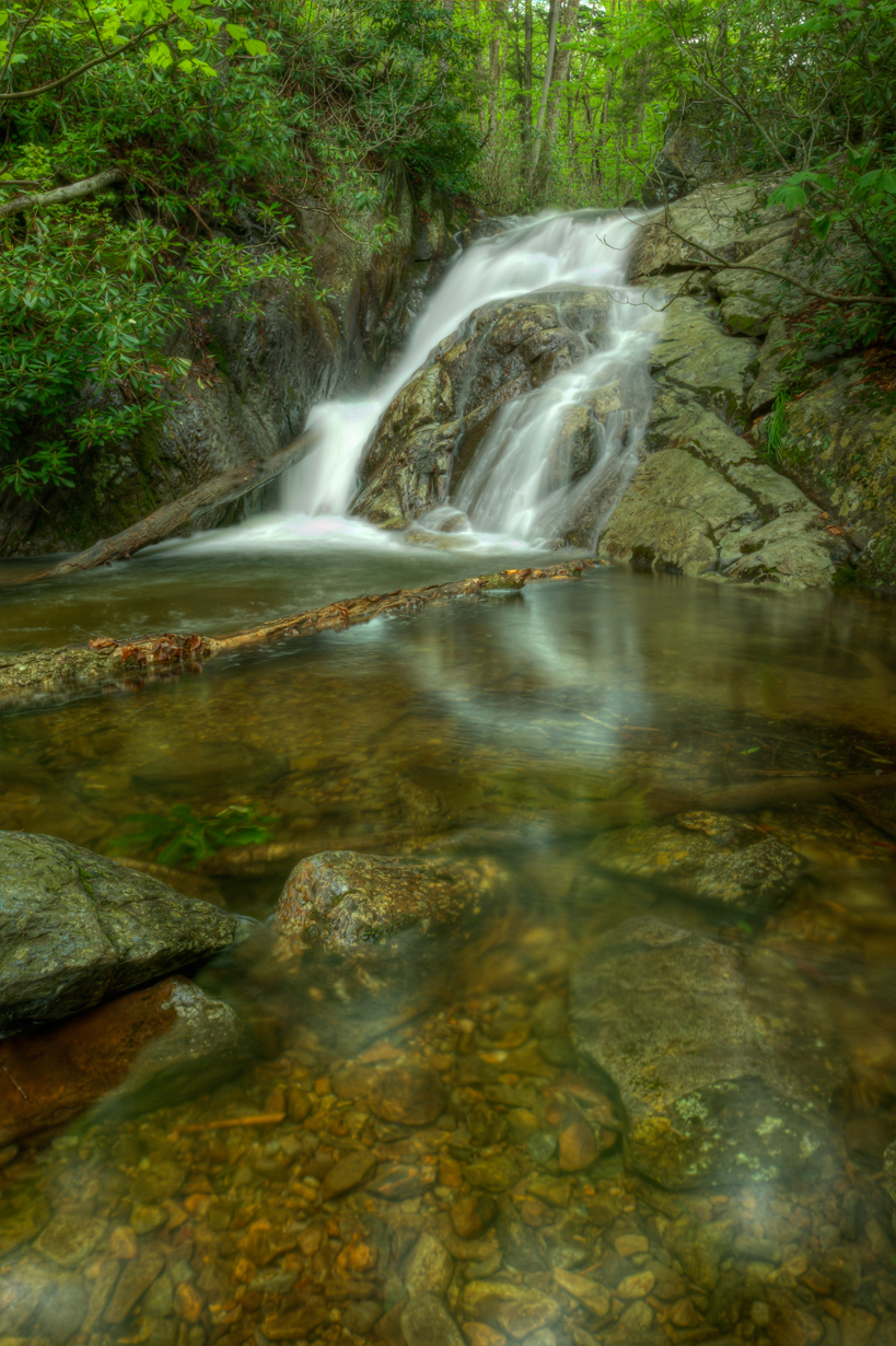
Upper Cabin Creek Falls

Sugarland Overlook - Grayson Highlands State Park

Morning Rhododendron

Mt Rogers Backpack - Sunrise on Thomas Knob - July 6, 2014
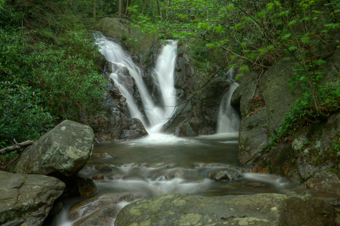
Lower Cabin Creek Falls

Fox Creek
Right This Way
Mt Rogers Backpack - On the AT - Golden Hour at Thomas Knob - July 5, 2014

Wilburn Ridge Sunset
Mount Rogers

SWVA -- My Second Home
Topographic Map of Rugby Rd, Mouth of Wilson, VA, USA
Find elevation by address:

Places near Rugby Rd, Mouth of Wilson, VA, USA:
1387 Rugby Rd
2585 Quillen Ridge Rd
Rugby Road
MOUTH WILSON, VA, USA
Peace Haven Lane
53 Rdr Ln
3100 Highlands Pkwy
3322 Rugby Rd
2622 Highlands Pkwy
618 Laurel Hill Rd
2780 York Ridge Rd
Laurel Hill Road
219 Reservation Ln
Grayson Highland Lane
Grayson Highlands State Park
6466 Highlands Pkwy
230 Spencer Branch Rd
656 Little Wilson Rd
138 Haworchard Ln
1547 York Ridge Rd
Recent Searches:
- Elevation of Corso Fratelli Cairoli, 35, Macerata MC, Italy
- Elevation of Tallevast Rd, Sarasota, FL, USA
- Elevation of 4th St E, Sonoma, CA, USA
- Elevation of Black Hollow Rd, Pennsdale, PA, USA
- Elevation of Oakland Ave, Williamsport, PA, USA
- Elevation of Pedrógão Grande, Portugal
- Elevation of Klee Dr, Martinsburg, WV, USA
- Elevation of Via Roma, Pieranica CR, Italy
- Elevation of Tavkvetili Mountain, Georgia
- Elevation of Hartfords Bluff Cir, Mt Pleasant, SC, USA