Elevation of Ruffin Dr, Georgia, USA
Location: United States > Georgia > Glynn County >
Longitude: -81.607102
Latitude: 31.426578
Elevation: 5m / 16feet
Barometric Pressure: 101KPa
Elevation Map:
Satellite Map:
Related Photos:
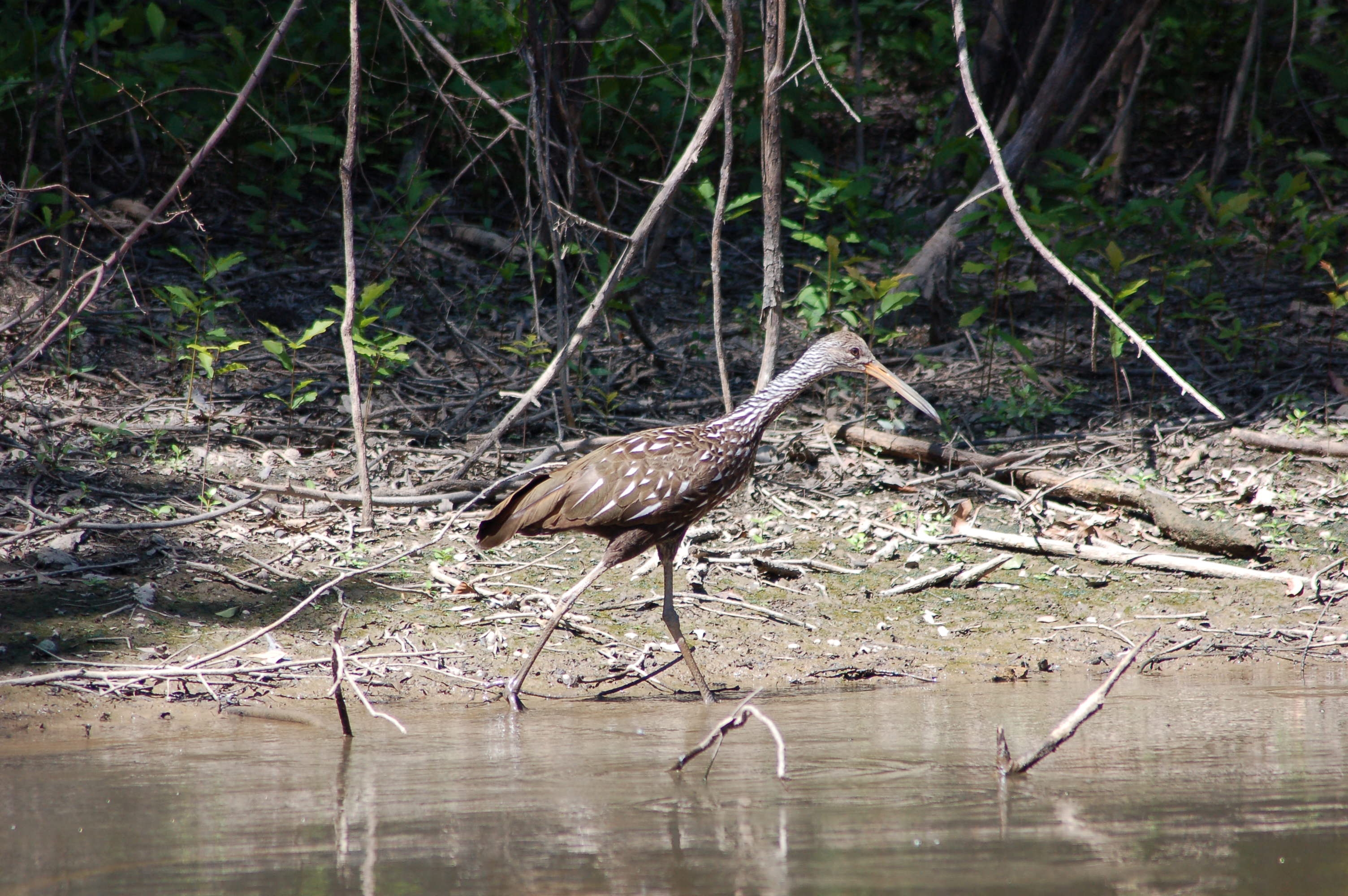
Limpkin. Alex Creek, Wayne County, 13 July 2006. Photo by Mark Hughes

Butler Plantation, Darien, Ga.

Club House, Altama Plantation, Darien Georgia

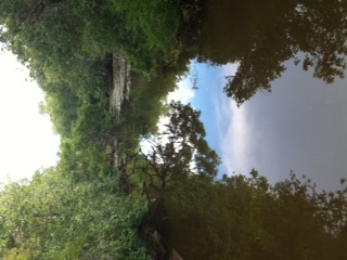
near Darien, GA, United States

Tiny Yellow Flowers
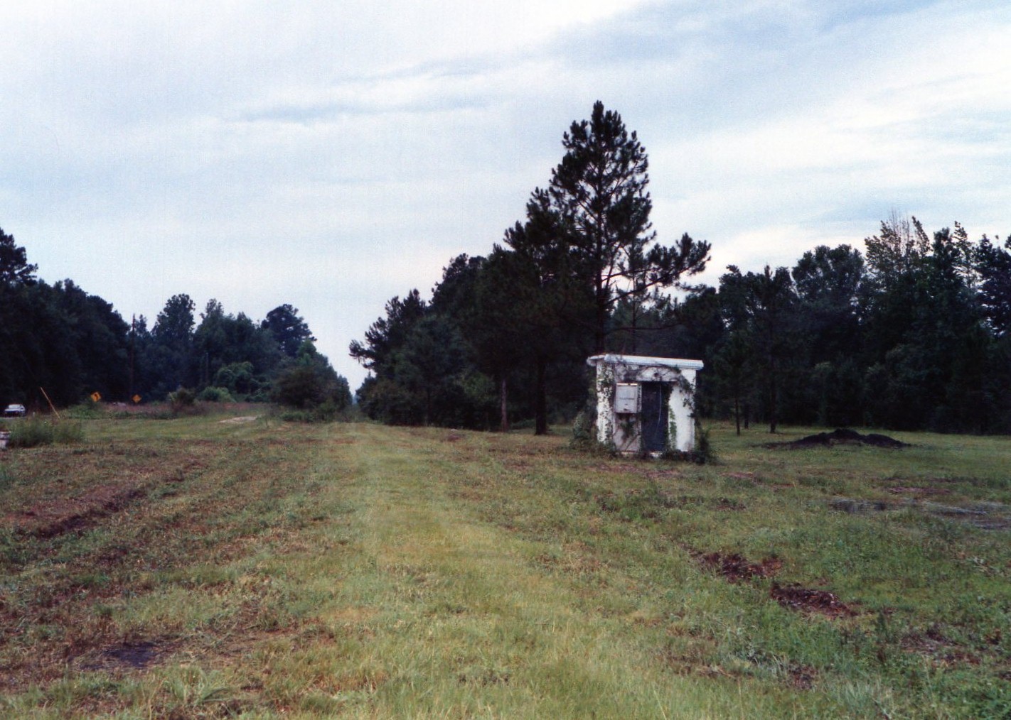
Former SAL mainline at Townend, Georgia....abandoned, looking south 1997

Darien here we come!
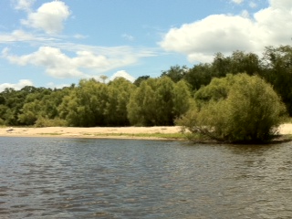
Gorgeous beaches
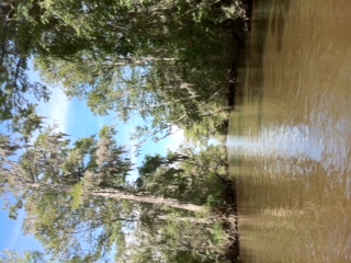
Rifle Cut
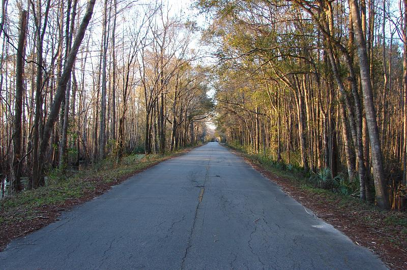
Old Jesup Hwy at Sunset
ARP interpretive trail
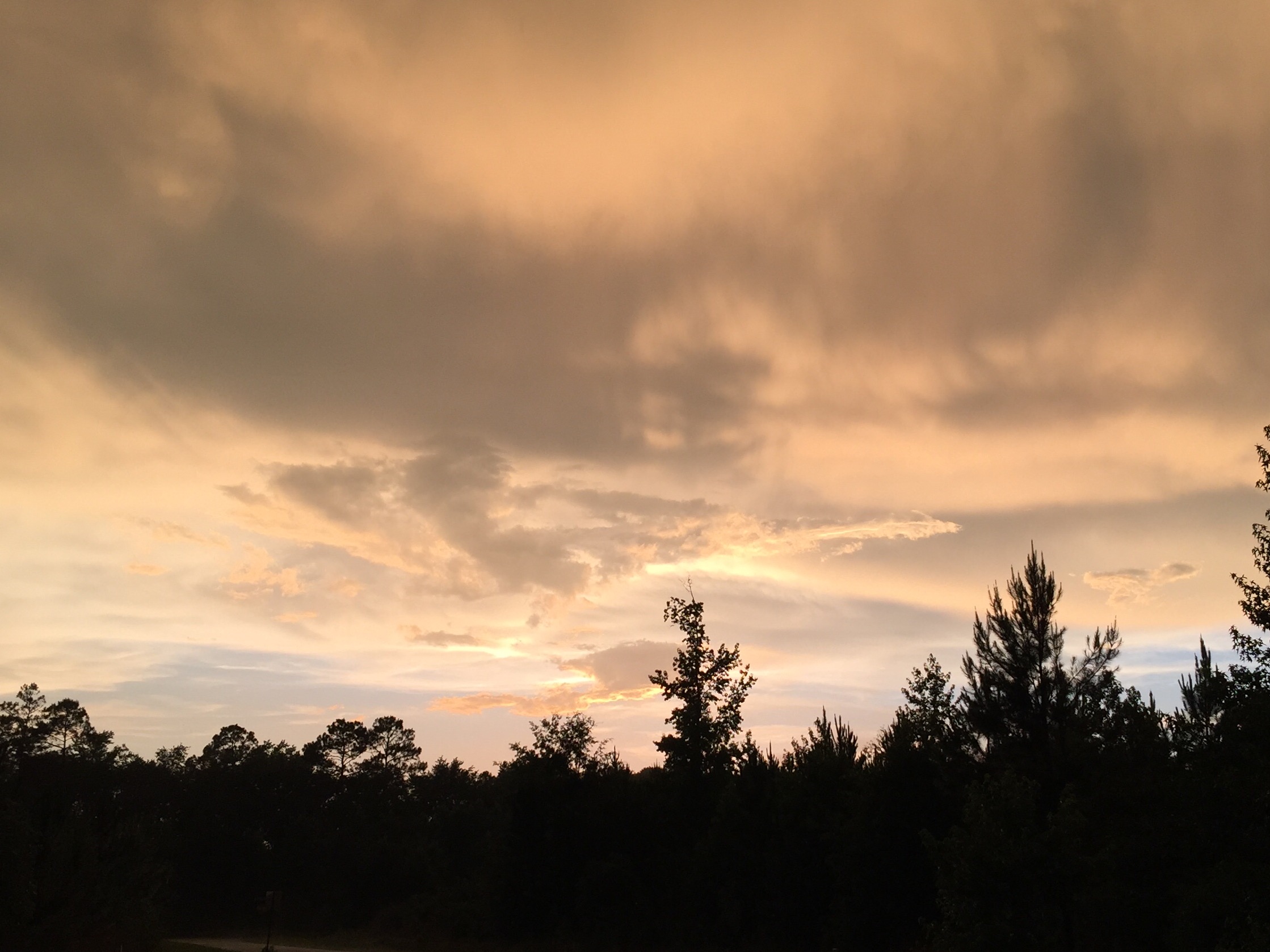
After the Storm

Resting.
Topographic Map of Ruffin Dr, Georgia, USA
Find elevation by address:

Places near Ruffin Dr, Georgia, USA:
615 Bee Tree Island Rd
Possum Point Rd, Townsend, GA, USA
1128 Old Jesup Rd
455 Best Loop
1587 Pennick Rd
844 Mt Pleasant Rd
844 Mt Pleasant Rd
Blues Reach Road
Old Jesup Rd, Brunswick, GA, USA
Mount Pleasant Road
GA-32, Brunswick, GA, USA
5344 E Glynn Ave
13 Paradise Park Rd, Jesup, GA, USA
Glynn County
Buffalo Road
Jamaica Rd, Brunswick, GA, USA
Oak Grove Island Drive
Oak Grove Rd, Brunswick, GA, USA
22 Willow Ct #225
107 Overlook Point
Recent Searches:
- Elevation of Corso Fratelli Cairoli, 35, Macerata MC, Italy
- Elevation of Tallevast Rd, Sarasota, FL, USA
- Elevation of 4th St E, Sonoma, CA, USA
- Elevation of Black Hollow Rd, Pennsdale, PA, USA
- Elevation of Oakland Ave, Williamsport, PA, USA
- Elevation of Pedrógão Grande, Portugal
- Elevation of Klee Dr, Martinsburg, WV, USA
- Elevation of Via Roma, Pieranica CR, Italy
- Elevation of Tavkvetili Mountain, Georgia
- Elevation of Hartfords Bluff Cir, Mt Pleasant, SC, USA