Elevation of Rue Plaisanciers, Ferme-Neuve, QC J0W, Canada
Location: Canada > Québec > Antoine-labelle Regional County Municipality >
Longitude: -75.710124
Latitude: 46.842386
Elevation: 223m / 732feet
Barometric Pressure: 99KPa
Elevation Map:
Satellite Map:
Related Photos:
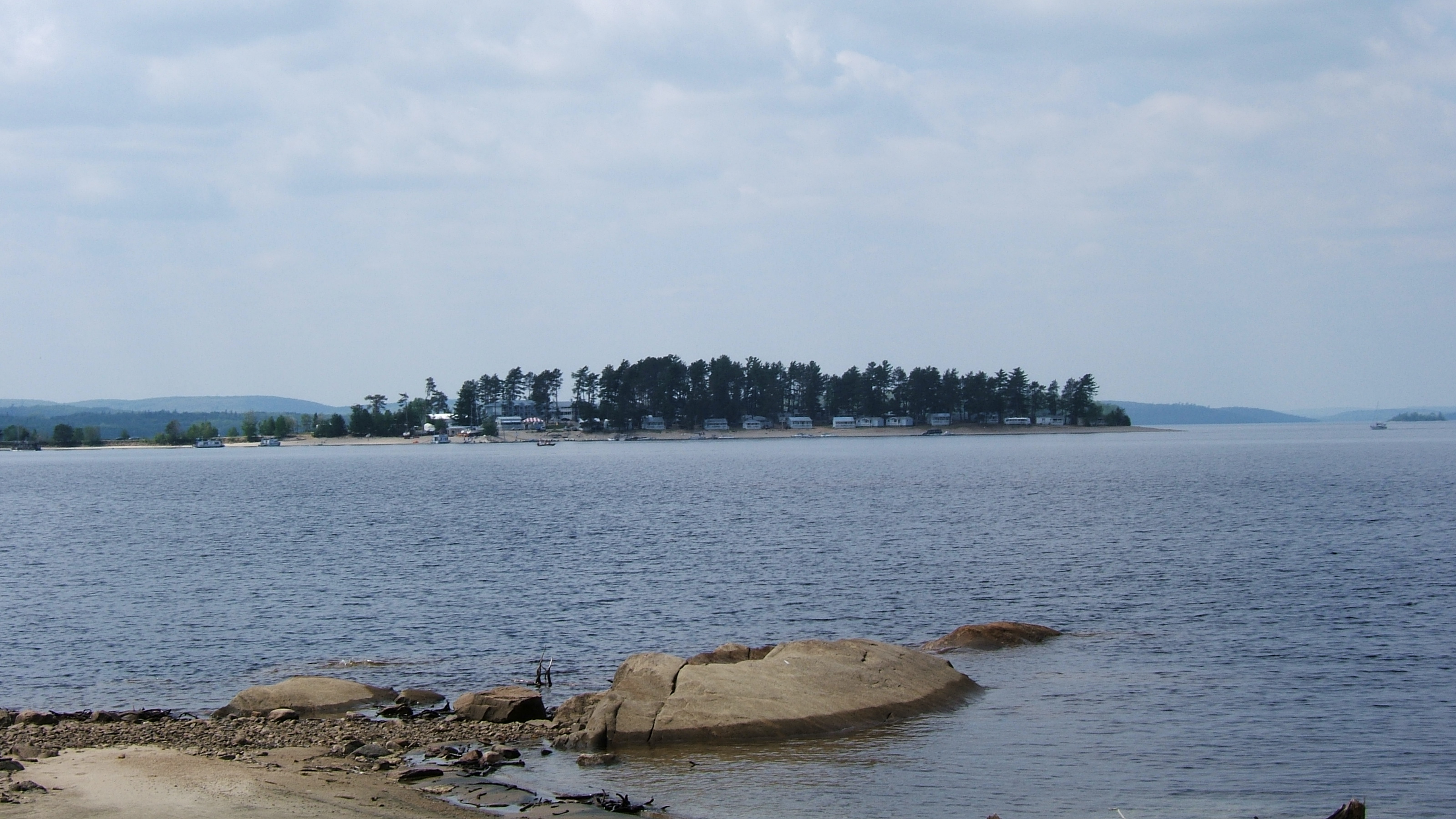
Fishing trip, Baskatong
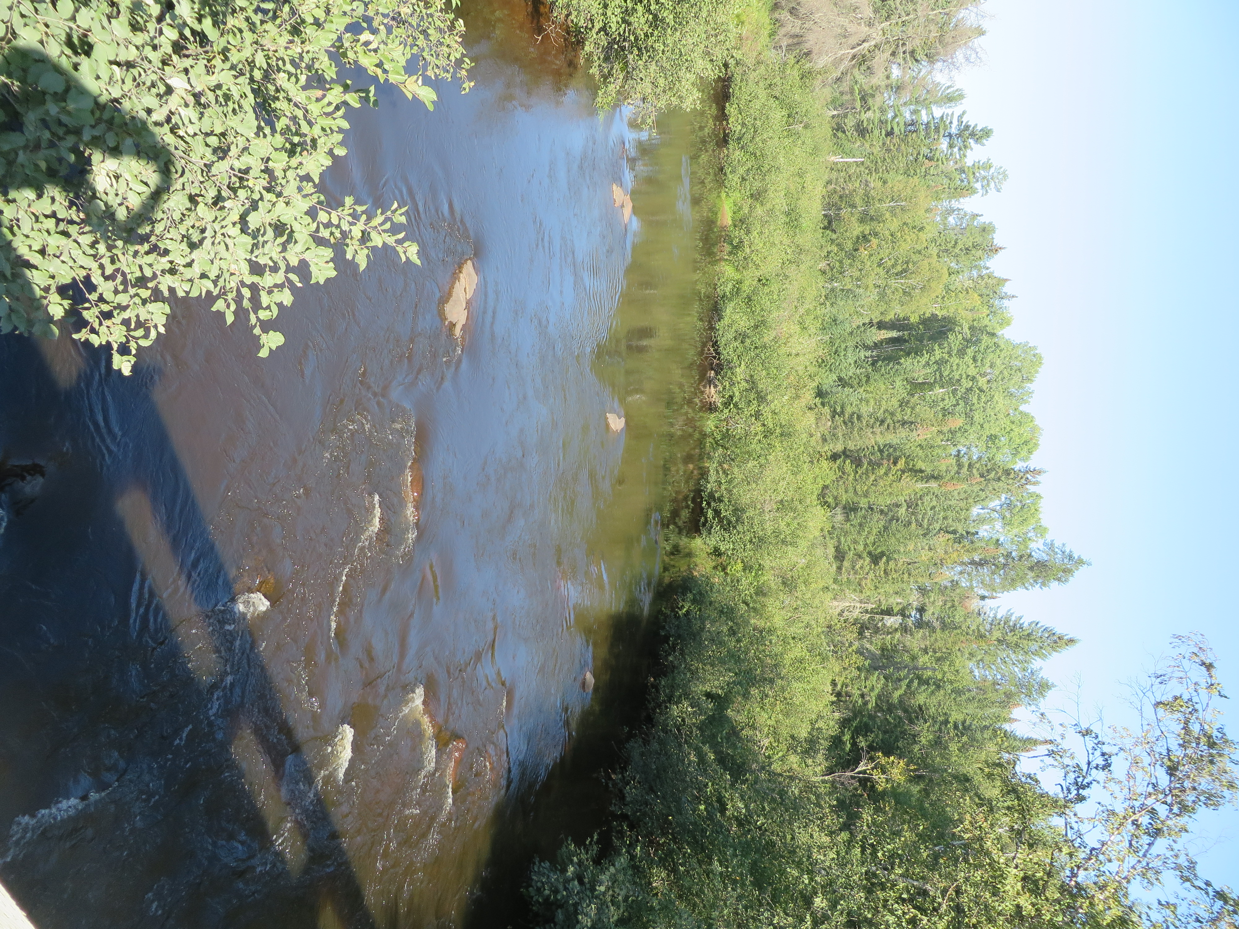
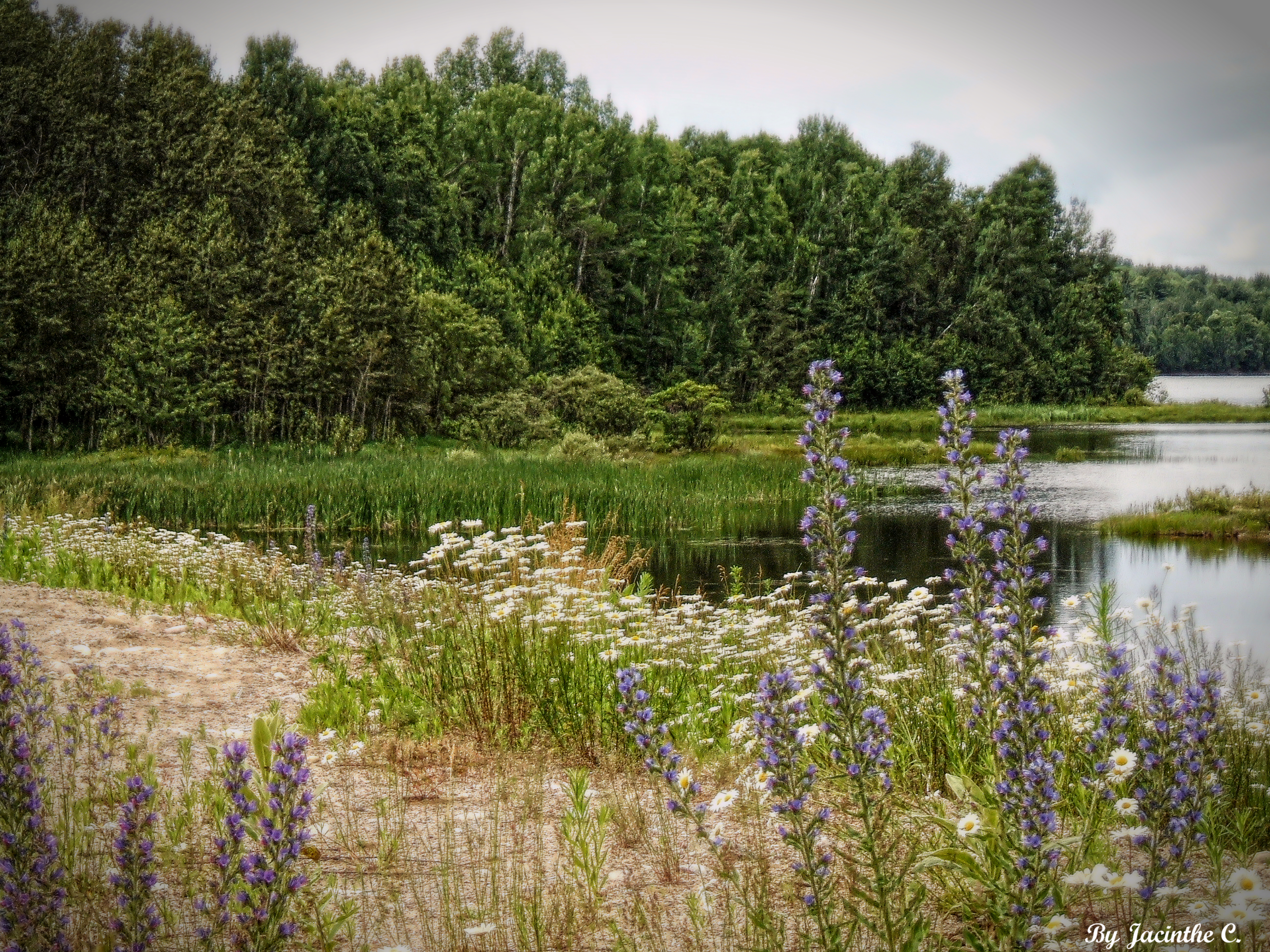
Ferme-Neuve, Québec
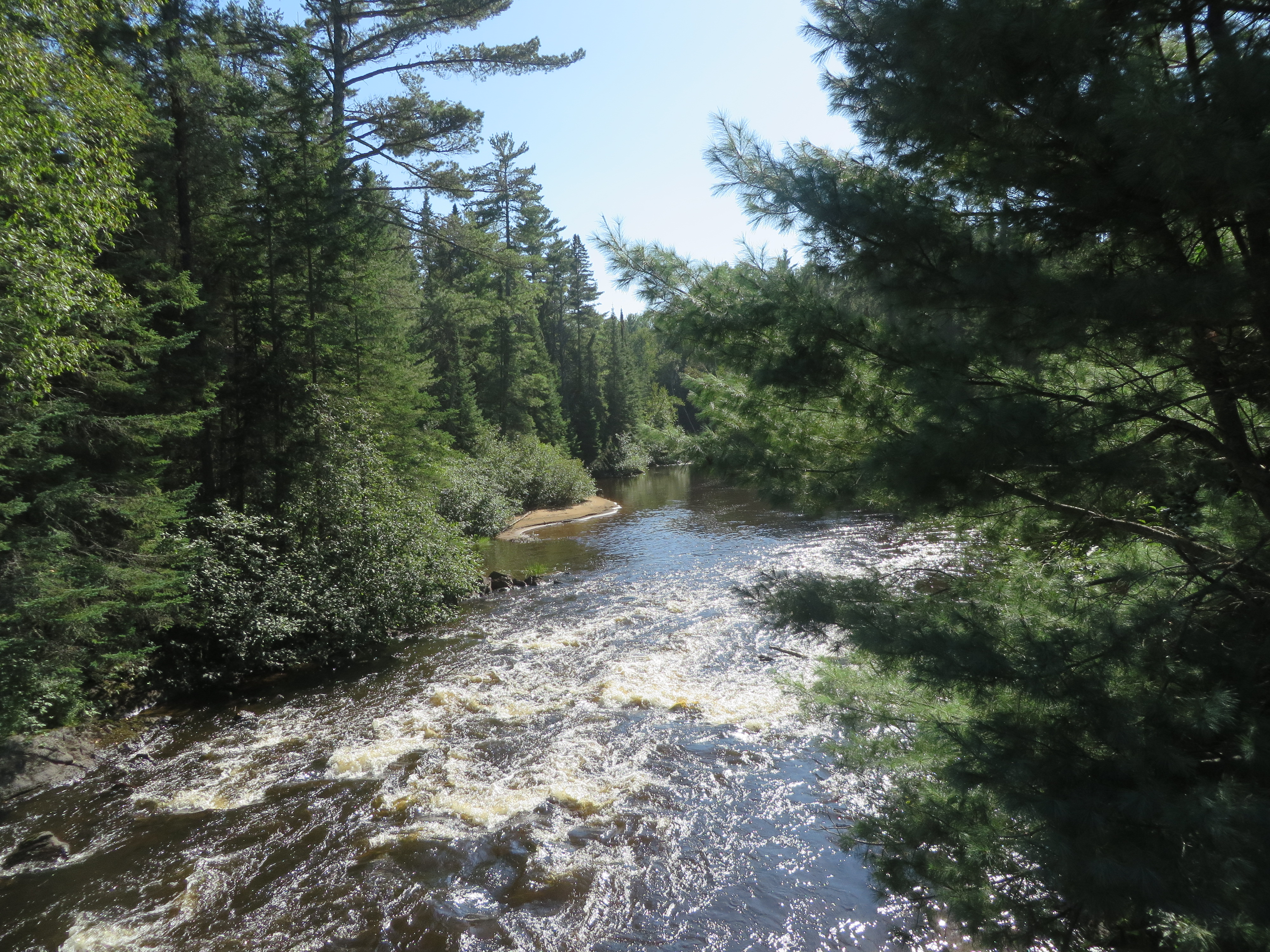
Ferme-Neuve, Québec

Red Squirrel

Ferme-Neuve, Québec
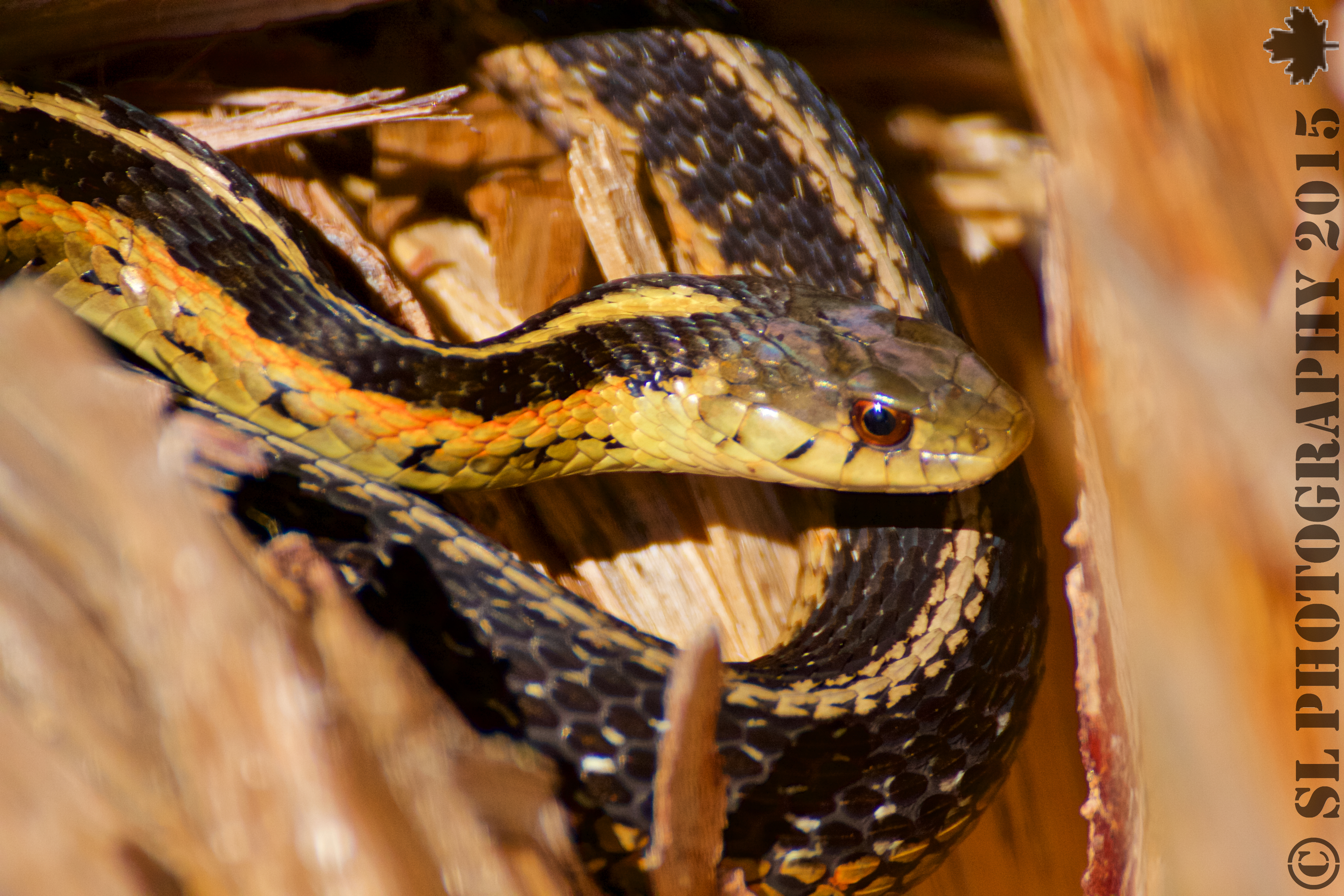
Garter snake 004
Pastels...
Ring09-057

Cat in a Box
At Our Campsite on Big Crow Lake, Algonguin Park
Topographic Map of Rue Plaisanciers, Ferme-Neuve, QC J0W, Canada
Find elevation by address:

Places near Rue Plaisanciers, Ferme-Neuve, QC J0W, Canada:
Chemin Nibi
Ferme-neuve
105 Chemin Lafrance
60 Chemin Tourangeau
Grand-remous
3043 Montée Boyer
Chemin De Val Limoges
Chemin De Val Limoges
3195 Boulevard Des Ruisseaux
Ferme-neuve
135 6 Rue
302 Rue Éléodore-langevin
Domaine Lac Gravel Inc
172 Chemin Daoust
172 Chemin Daoust
Chemin Du Lac Nadeau
75 Montée Dubé
Sainte-anne-du-lac
Gite At The Foot Of The Current
364 Rang 1 De Moreau
Recent Searches:
- Elevation of Corso Fratelli Cairoli, 35, Macerata MC, Italy
- Elevation of Tallevast Rd, Sarasota, FL, USA
- Elevation of 4th St E, Sonoma, CA, USA
- Elevation of Black Hollow Rd, Pennsdale, PA, USA
- Elevation of Oakland Ave, Williamsport, PA, USA
- Elevation of Pedrógão Grande, Portugal
- Elevation of Klee Dr, Martinsburg, WV, USA
- Elevation of Via Roma, Pieranica CR, Italy
- Elevation of Tavkvetili Mountain, Georgia
- Elevation of Hartfords Bluff Cir, Mt Pleasant, SC, USA