Elevation of Rue des Pionniers, Port-Cartier, QC G0H, Canada
Location: Canada > Québec > Sept-rivières—caniapiscau > Port-cartier >
Longitude: -67.167701
Latitude: 49.7828695
Elevation: 45m / 148feet
Barometric Pressure: 101KPa
Elevation Map:
Satellite Map:
Related Photos:

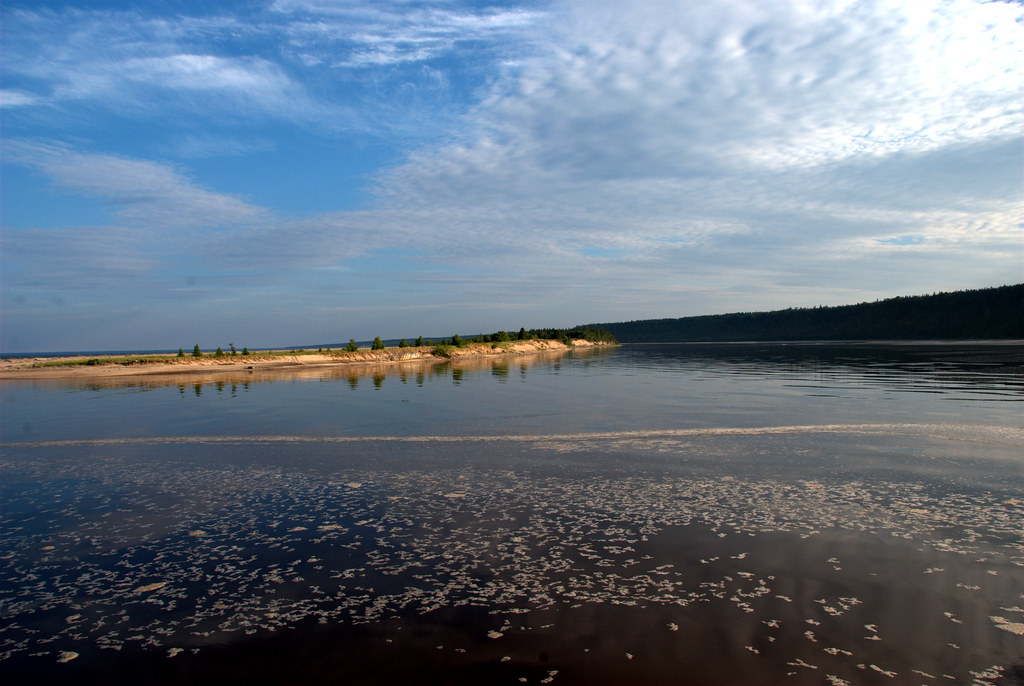
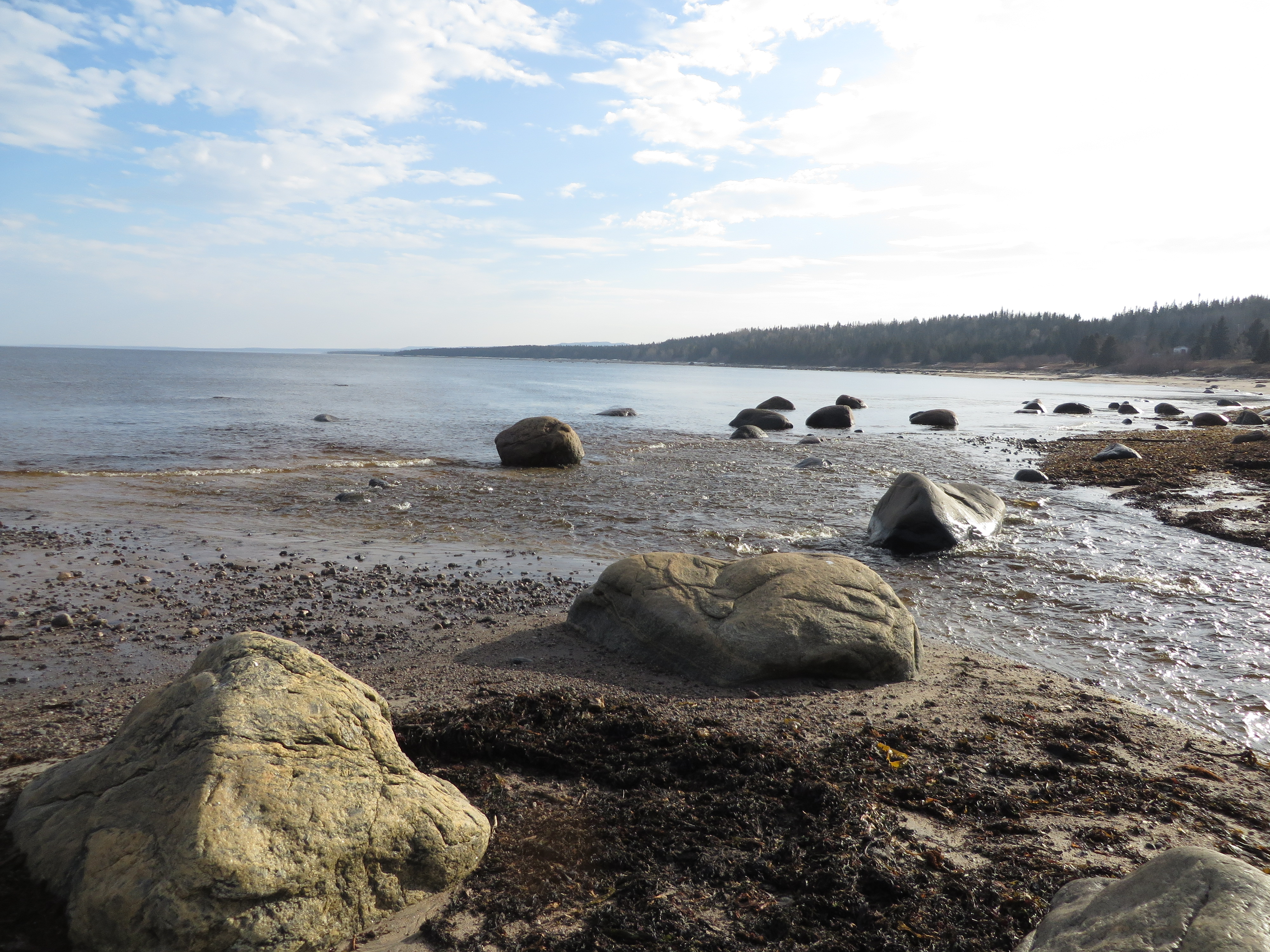
Pointe-Aux-Anglais, Québec
Cote Nord Mingan_06072010_205

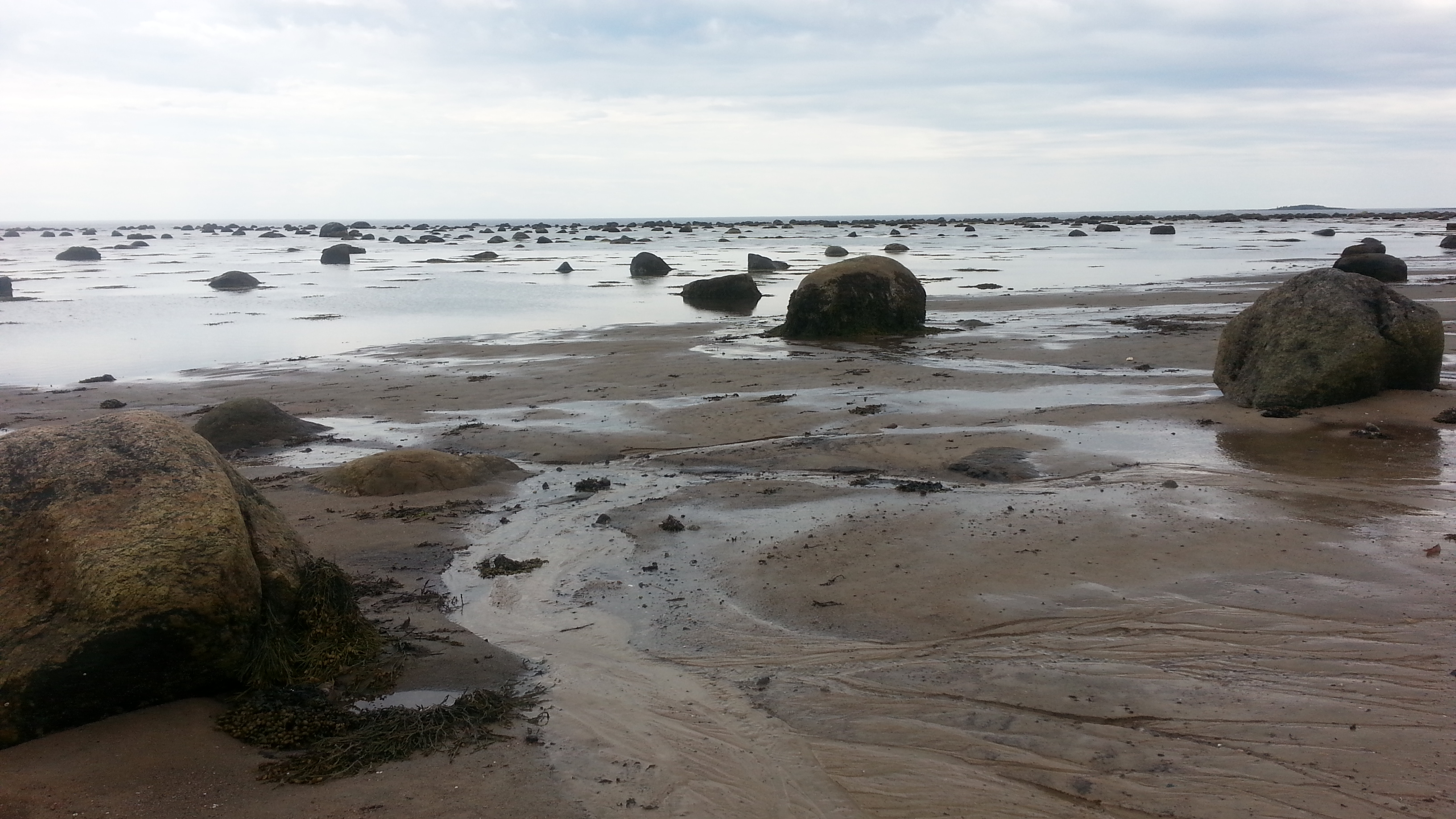
Les roches noires

Sur la plage de la Pointe aux Anglais

Pointe-Aux-Anglais, Québec

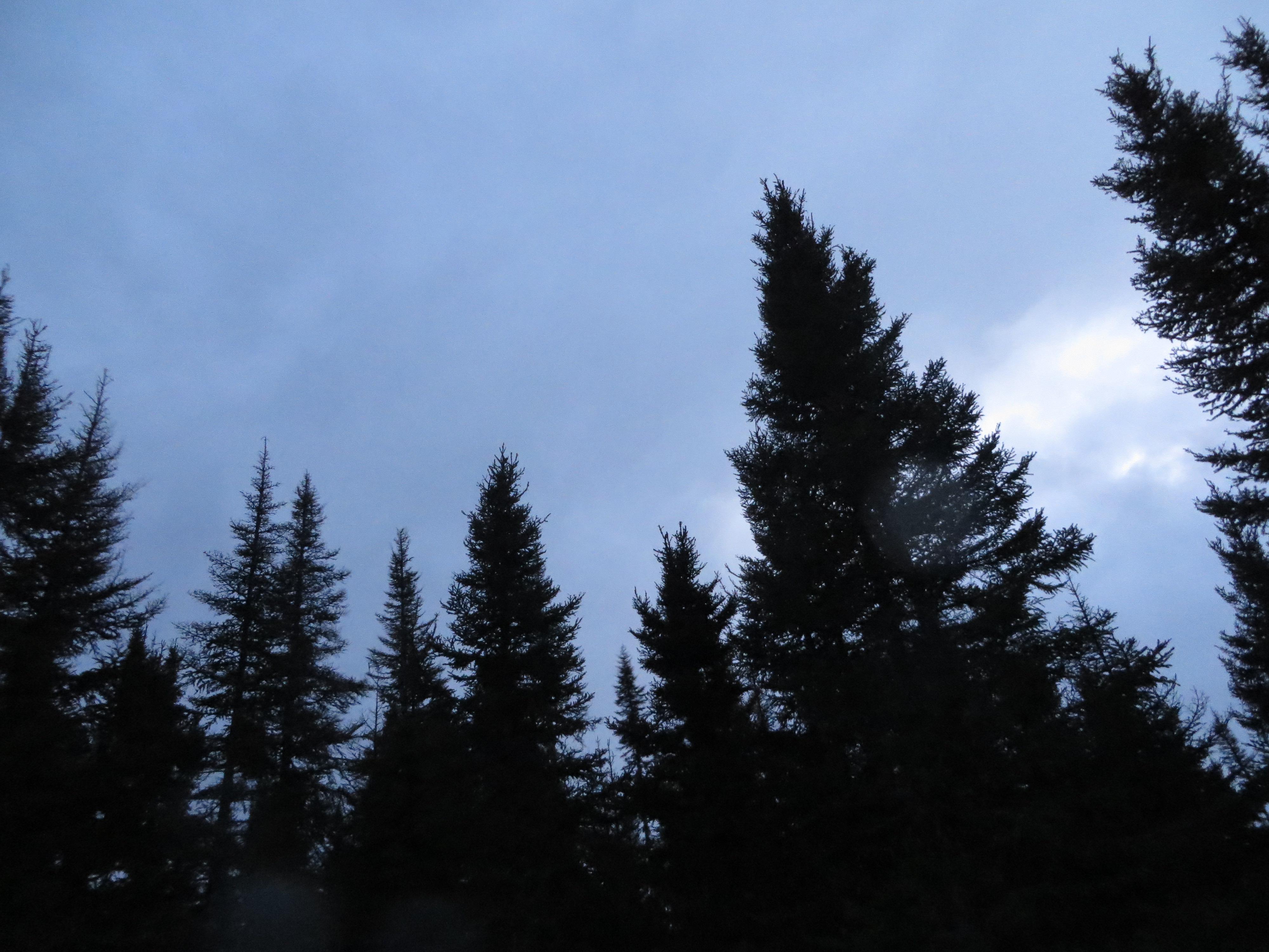
Rivière-Pentecôte, Québec

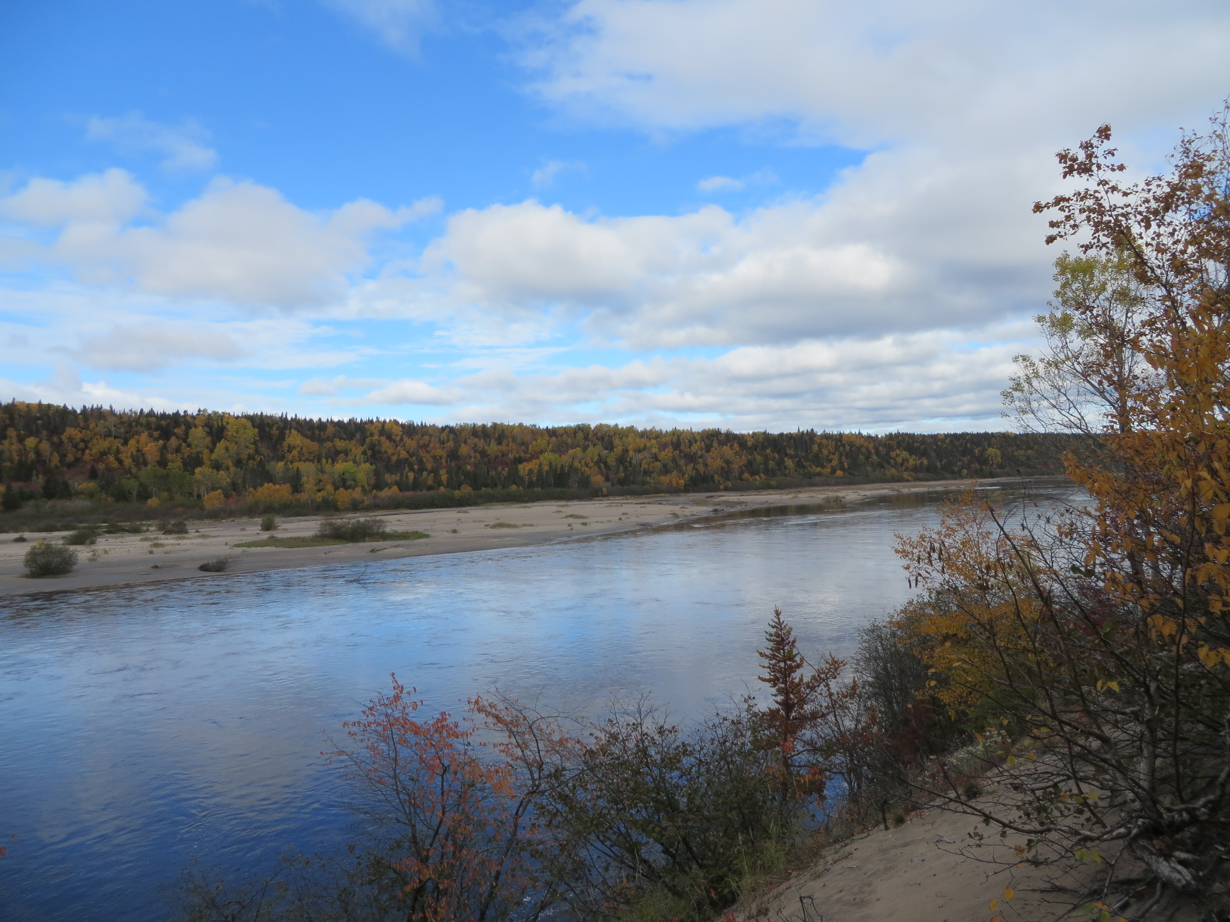
Pointe-Aux-Anglais, Québec

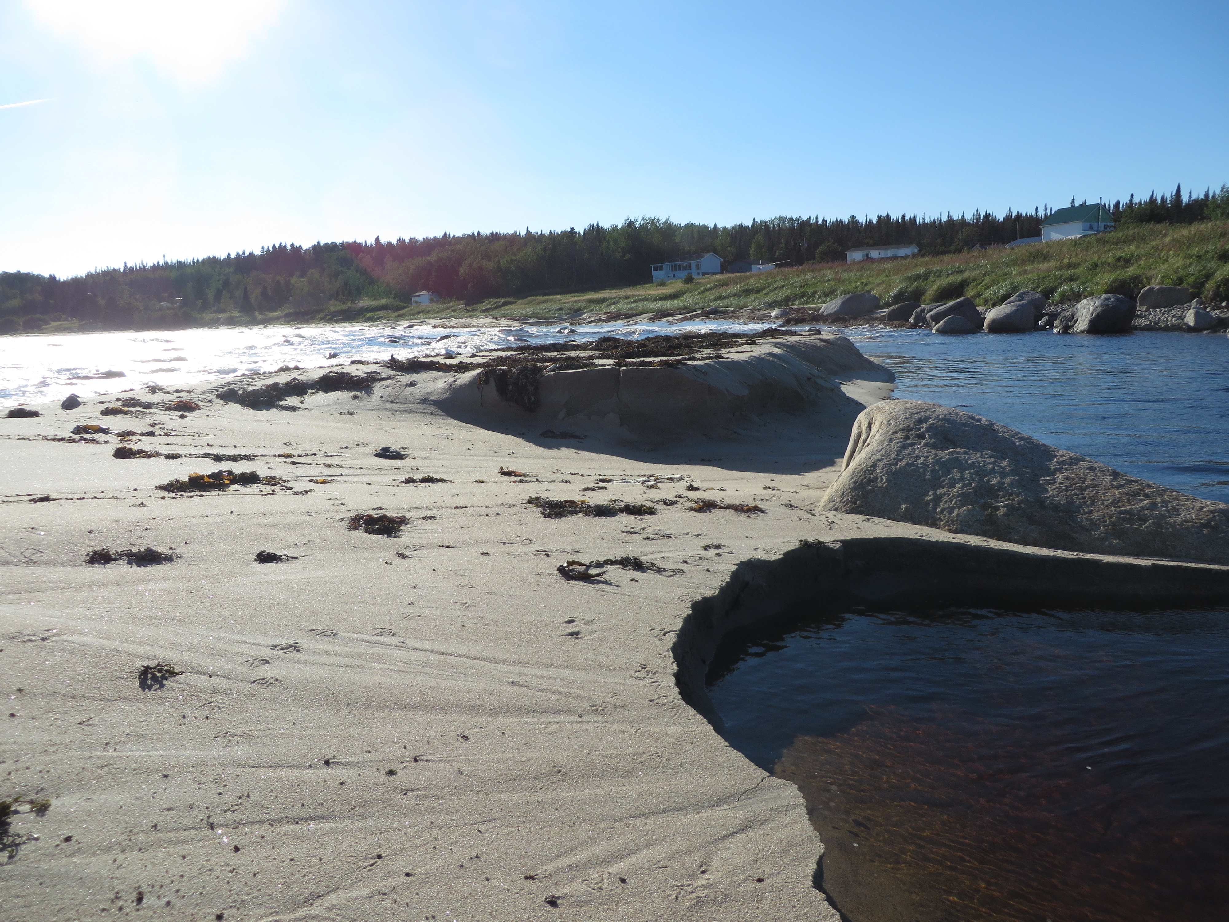
Rivière-Pentecôte, Québec

Pointe-Aux-Anglais, Québec

Pointe-Aux-Anglais, Québec
Pointe-Aux-Anglais, Québec

Pointe-Aux-Anglais, Québec

Pointe-Aux-Anglais, Québec
Rivière-Pentecôte, Québec

Pointe-Aux-Anglais, Québec
Pointe-Aux-Anglais, Québec
Pointe-Aux-Anglais, Québec

Pointe-Aux-Anglais, Québec
Pointe-Aux-Anglais, Québec

Les roches noires

Rivière-Pentecôte, Québec
Topographic Map of Rue des Pionniers, Port-Cartier, QC G0H, Canada
Find elevation by address:

Places near Rue des Pionniers, Port-Cartier, QC G0H, Canada:
Port-cartier
70 QC-, Baie-Trinité, QC G0H 1A0, Canada
Baie-trinité
19 5e Rue, Port-Cartier, QC G5B 1H3, Canada
Recent Searches:
- Elevation of Corso Fratelli Cairoli, 35, Macerata MC, Italy
- Elevation of Tallevast Rd, Sarasota, FL, USA
- Elevation of 4th St E, Sonoma, CA, USA
- Elevation of Black Hollow Rd, Pennsdale, PA, USA
- Elevation of Oakland Ave, Williamsport, PA, USA
- Elevation of Pedrógão Grande, Portugal
- Elevation of Klee Dr, Martinsburg, WV, USA
- Elevation of Via Roma, Pieranica CR, Italy
- Elevation of Tavkvetili Mountain, Georgia
- Elevation of Hartfords Bluff Cir, Mt Pleasant, SC, USA