Elevation of Ruby Rd, Killaloe, ON K0J 2A0, Canada
Location: Canada > Ontario > Renfrew County > Killaloe, Hagarty And Richards > Killaloe >
Longitude: -77.327149
Latitude: 45.5327589
Elevation: 177m / 581feet
Barometric Pressure: 99KPa
Elevation Map:
Satellite Map:
Related Photos:
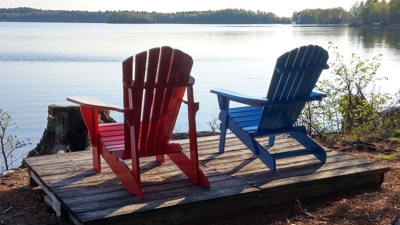
Viewing platform
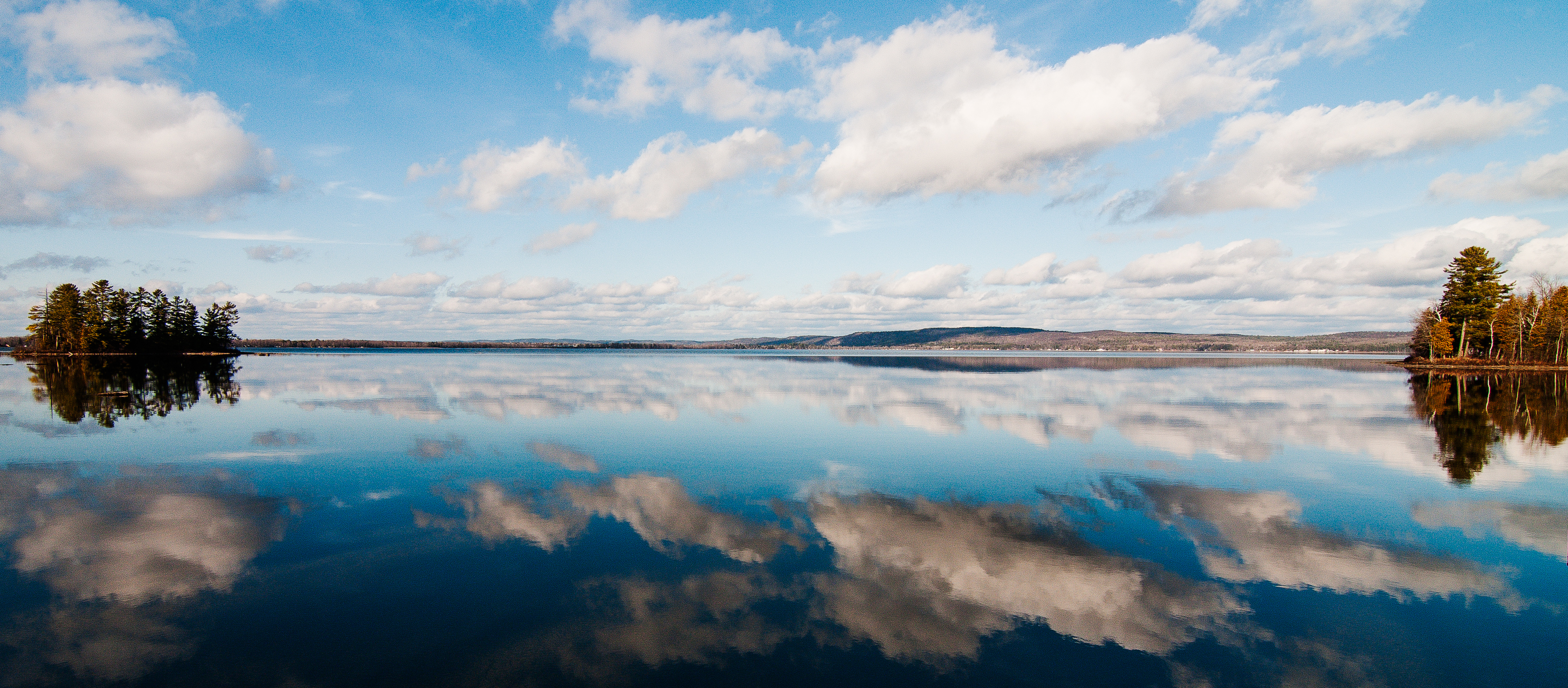
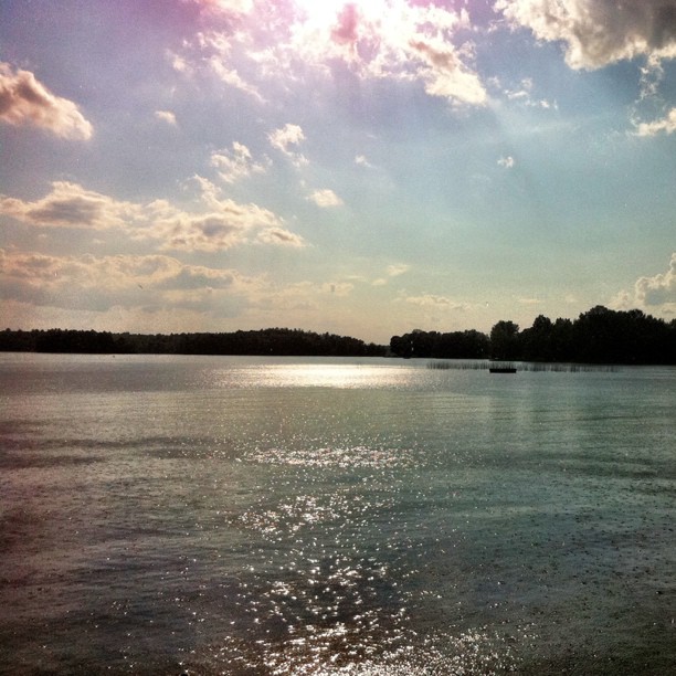
Open Water Reflections - Christmas Day
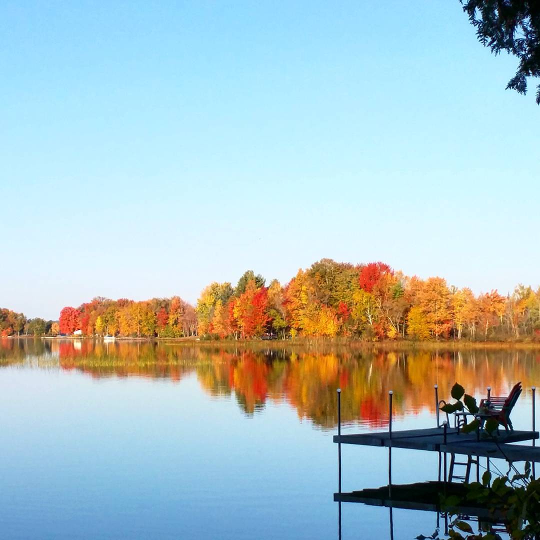
Office view this morning
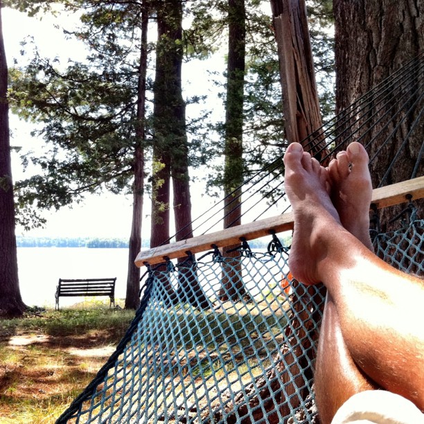
View from a hammock...

life and decay
Valley view from Foymount
Morning view
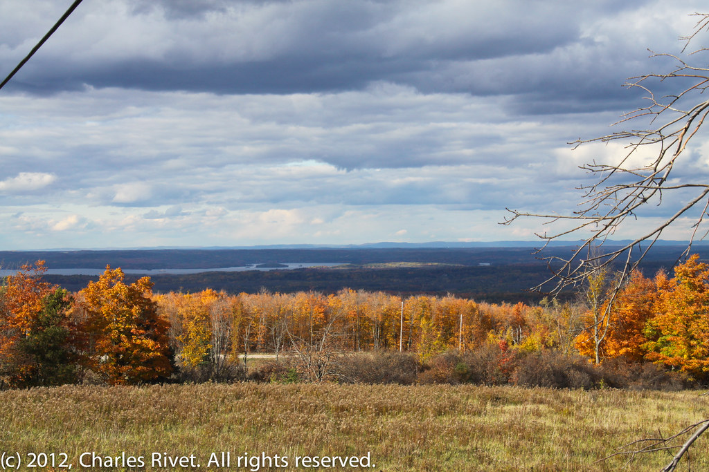
View from Foymount
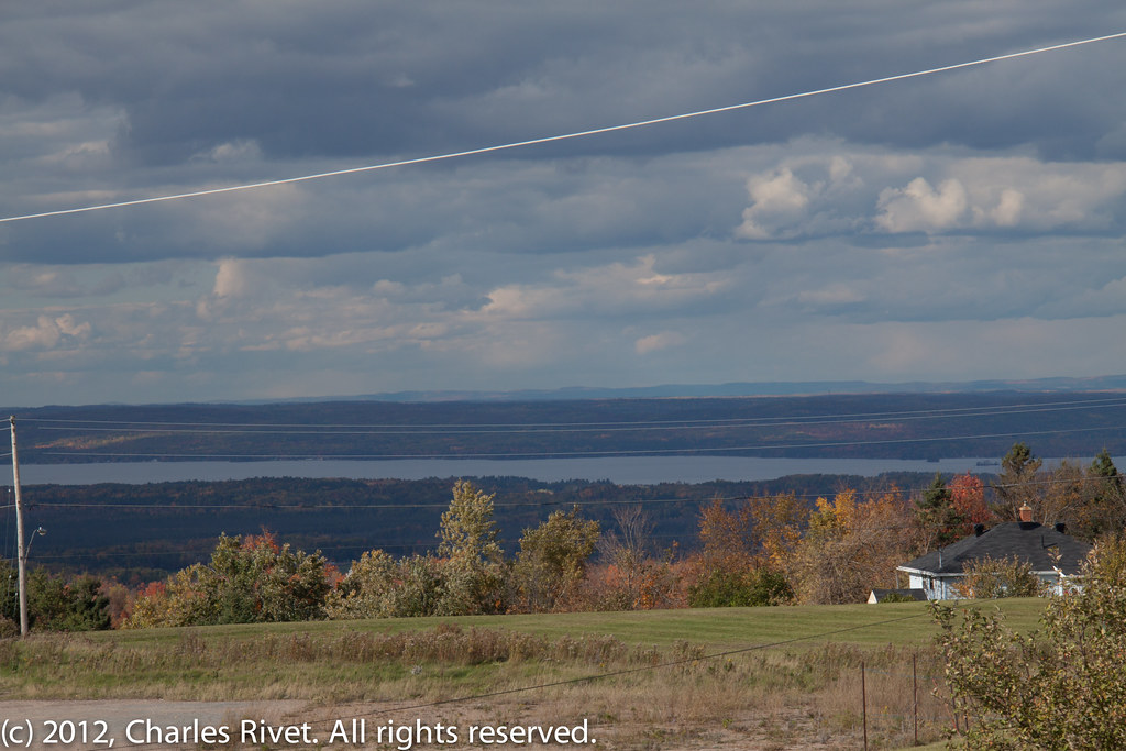
View from Foymount, Ontario

Clouds, Skies, Sunsets.
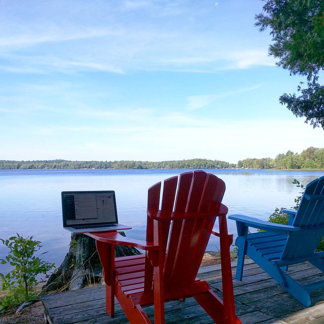
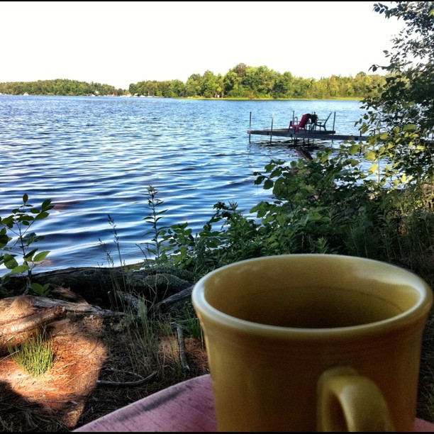
Today's office view #cottagelife
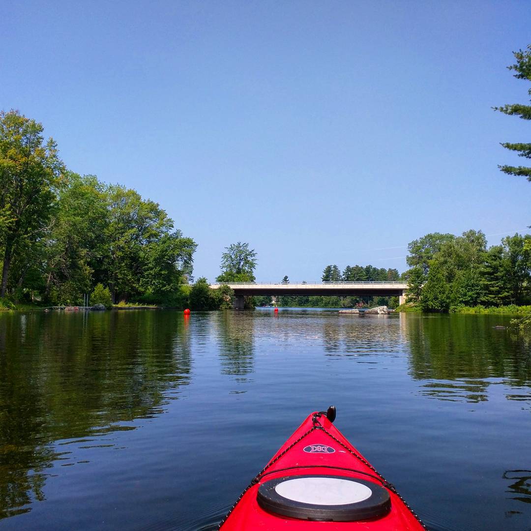
View from this afternoon's coffee break
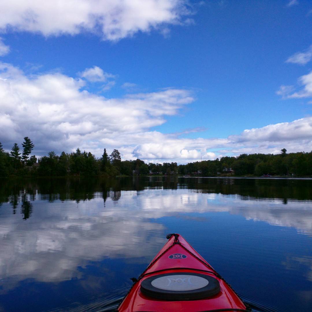
The view during today's coffee break #kayaktime
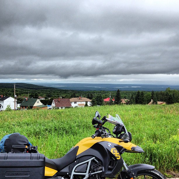
The view from Foymount. Highway 66 is a MINDBLOWER. #ontariomotoroads @ontarioshighlands
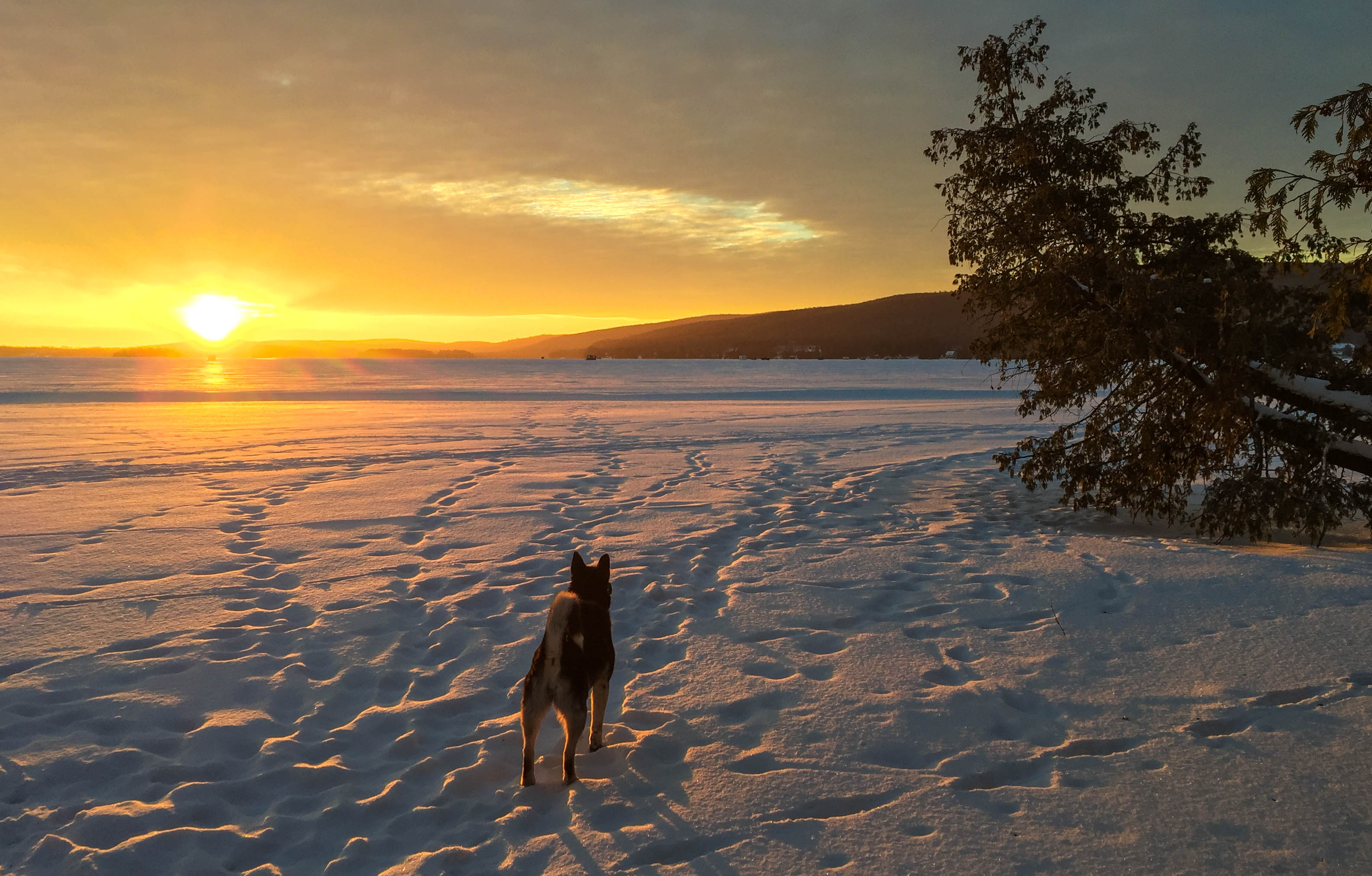
Many paths to choose from: January 17
Believe it or not, it is pouring in this photo
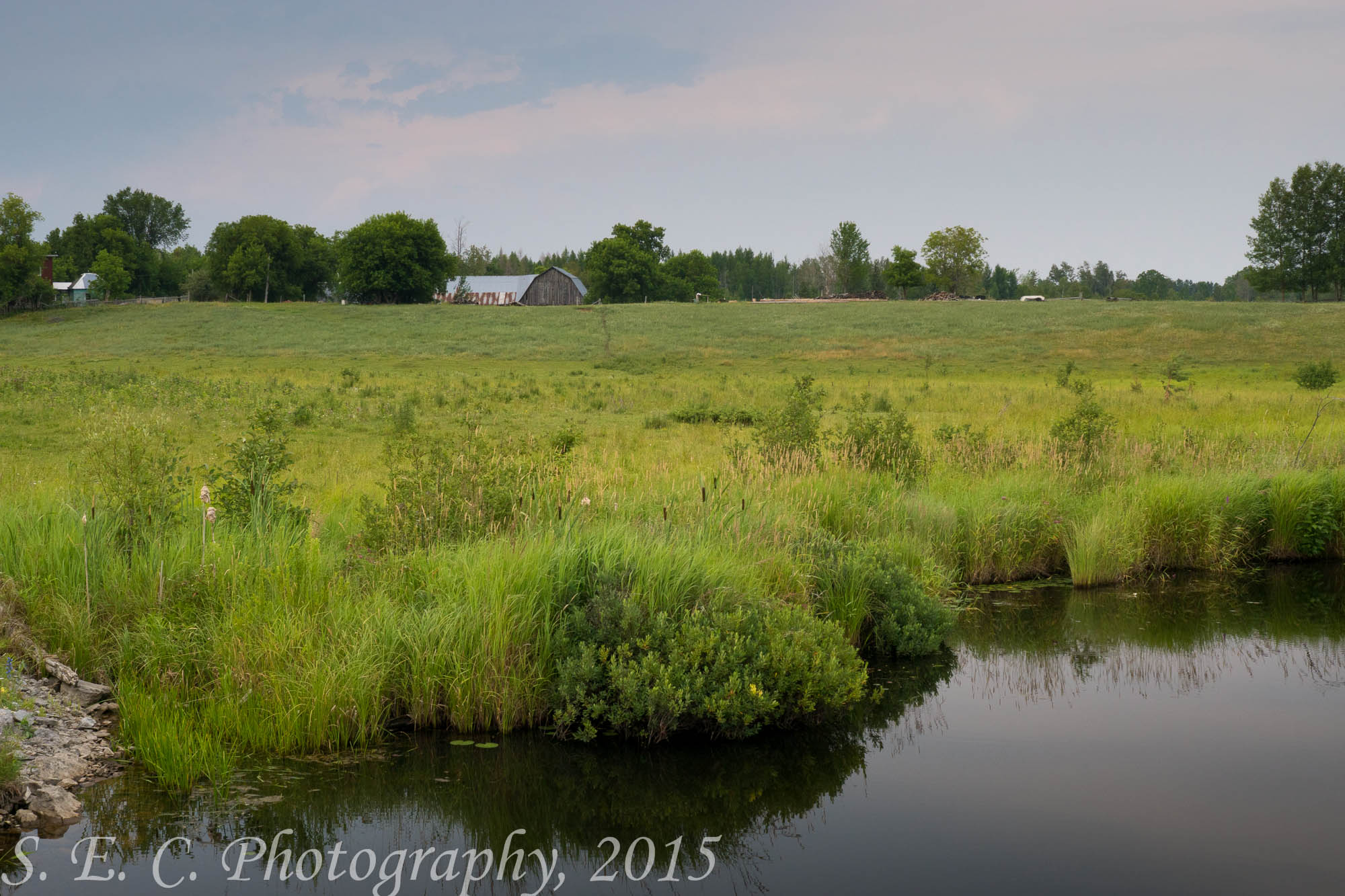
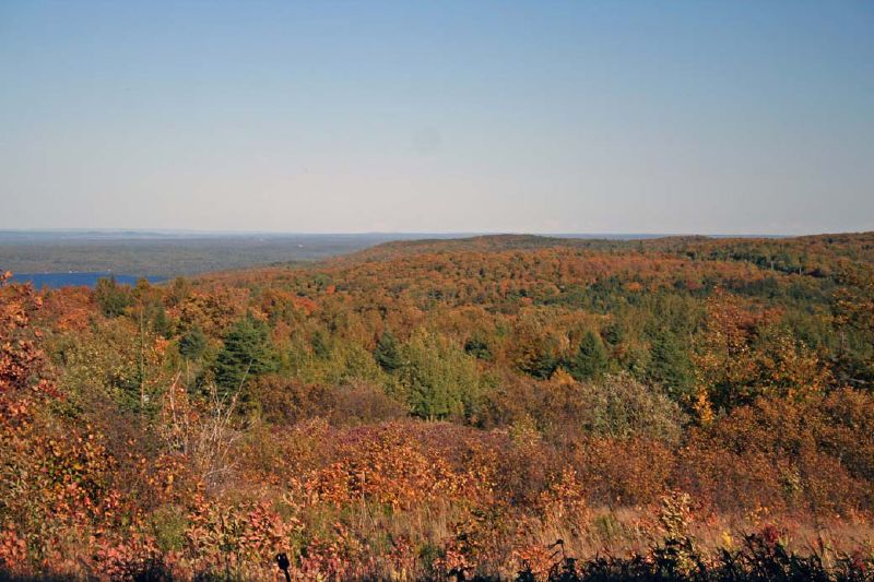
Opeongo Landscape
Topographic Map of Ruby Rd, Killaloe, ON K0J 2A0, Canada
Find elevation by address:

Places near Ruby Rd, Killaloe, ON K0J 2A0, Canada:
1835 Wolfe Rd
Wolfe Road
29 Kasdorff Ln, Golden Lake, ON K0J 1X0, Canada
Zadow Road
280 Rocky Point Dr
Cormac
Golden Lake
Foymount
239 Brewley Trail
239 Brewley Trail
1362 Burchat Rd
Yukes Drive
787 Silver Lake Rd
Bonnechere Valley
North Algona Wilberforce
K0j 1t0
561 Rosien Rd
1187 Wittke Rd
K0j
Renfrew County
Recent Searches:
- Elevation of Corso Fratelli Cairoli, 35, Macerata MC, Italy
- Elevation of Tallevast Rd, Sarasota, FL, USA
- Elevation of 4th St E, Sonoma, CA, USA
- Elevation of Black Hollow Rd, Pennsdale, PA, USA
- Elevation of Oakland Ave, Williamsport, PA, USA
- Elevation of Pedrógão Grande, Portugal
- Elevation of Klee Dr, Martinsburg, WV, USA
- Elevation of Via Roma, Pieranica CR, Italy
- Elevation of Tavkvetili Mountain, Georgia
- Elevation of Hartfords Bluff Cir, Mt Pleasant, SC, USA