Elevation of Rouses Point, NY, USA
Location: United States > New York > Clinton County > Champlain >
Longitude: -73.364855
Latitude: 44.9939279
Elevation: 33m / 108feet
Barometric Pressure: 101KPa
Elevation Map:
Satellite Map:
Related Photos:
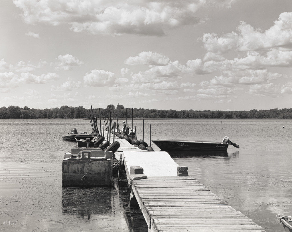
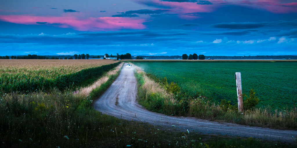
Scheimpflug / Sleepy Hollow!!

Northern Hawk Owl
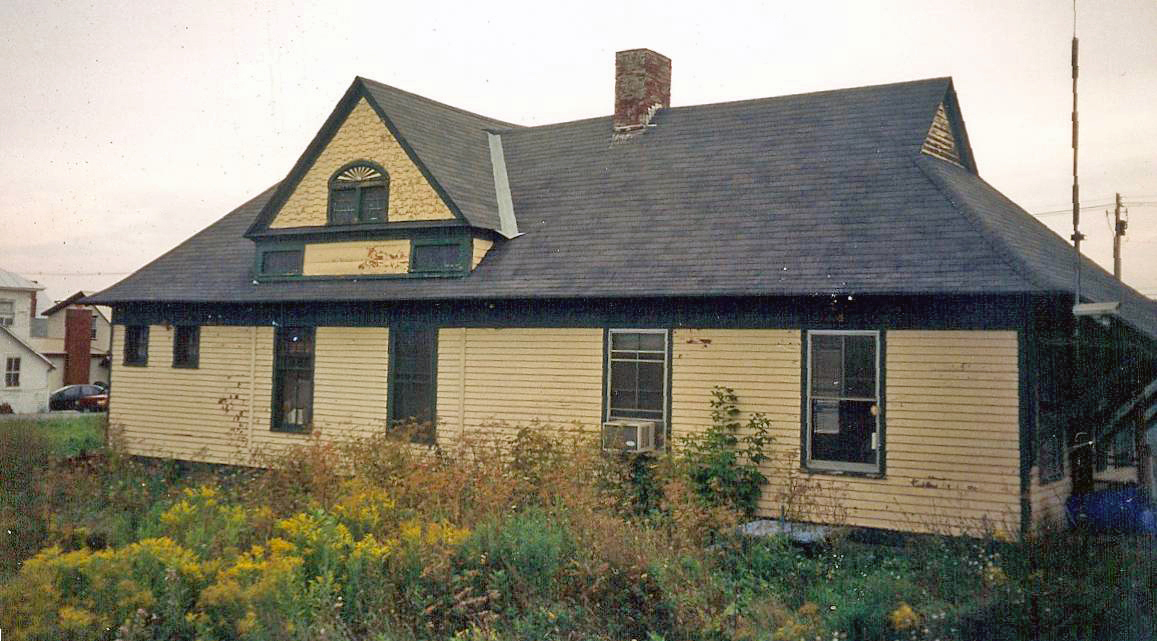
New York: Rouses Point: Rutland Passenger Station

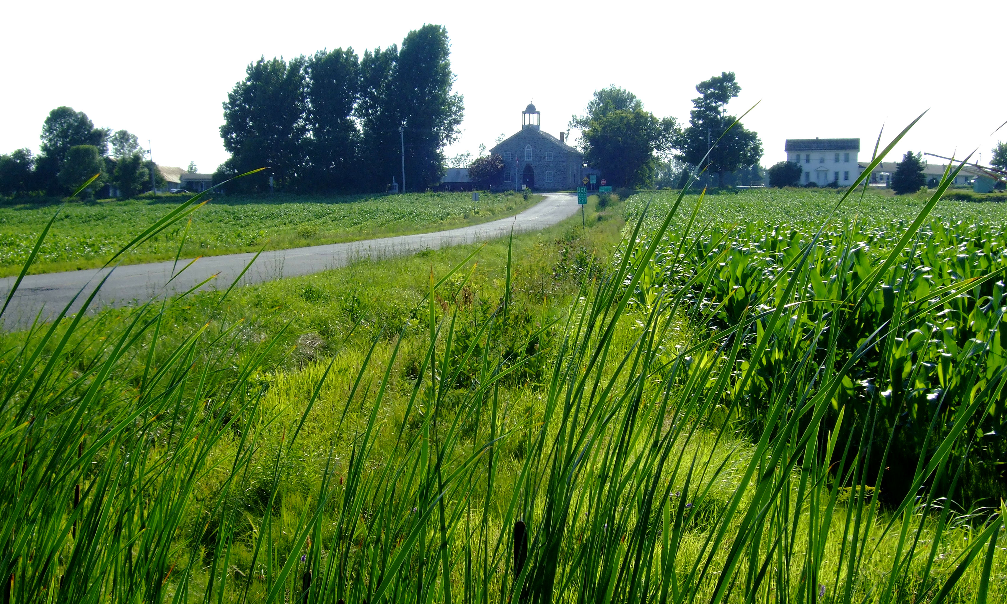
A view from the road 221 near / Vue de la route 221 près de Lacolle, Québec, Canada (P0024284)
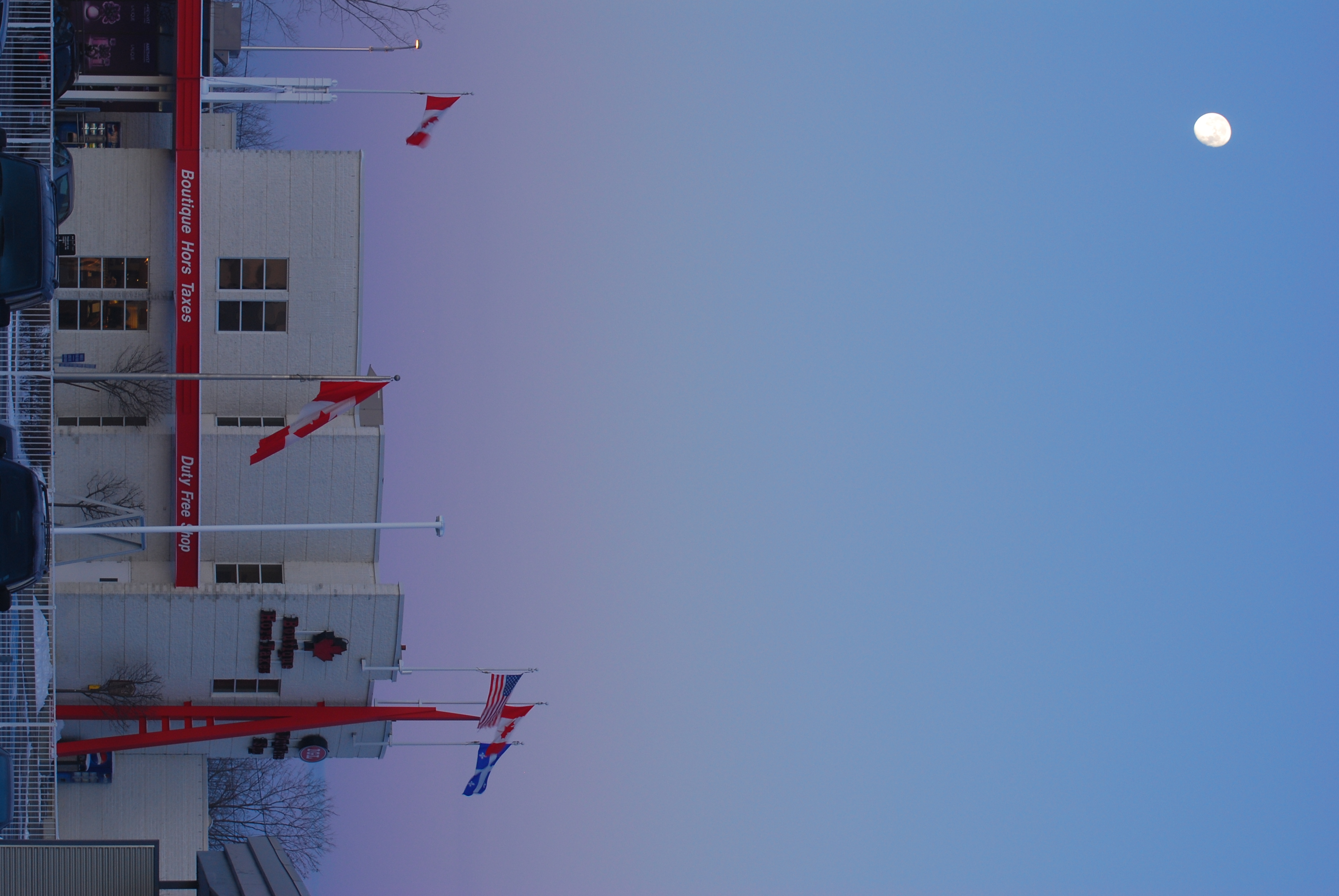
Duty Free Store - Boutique Hors Taxes
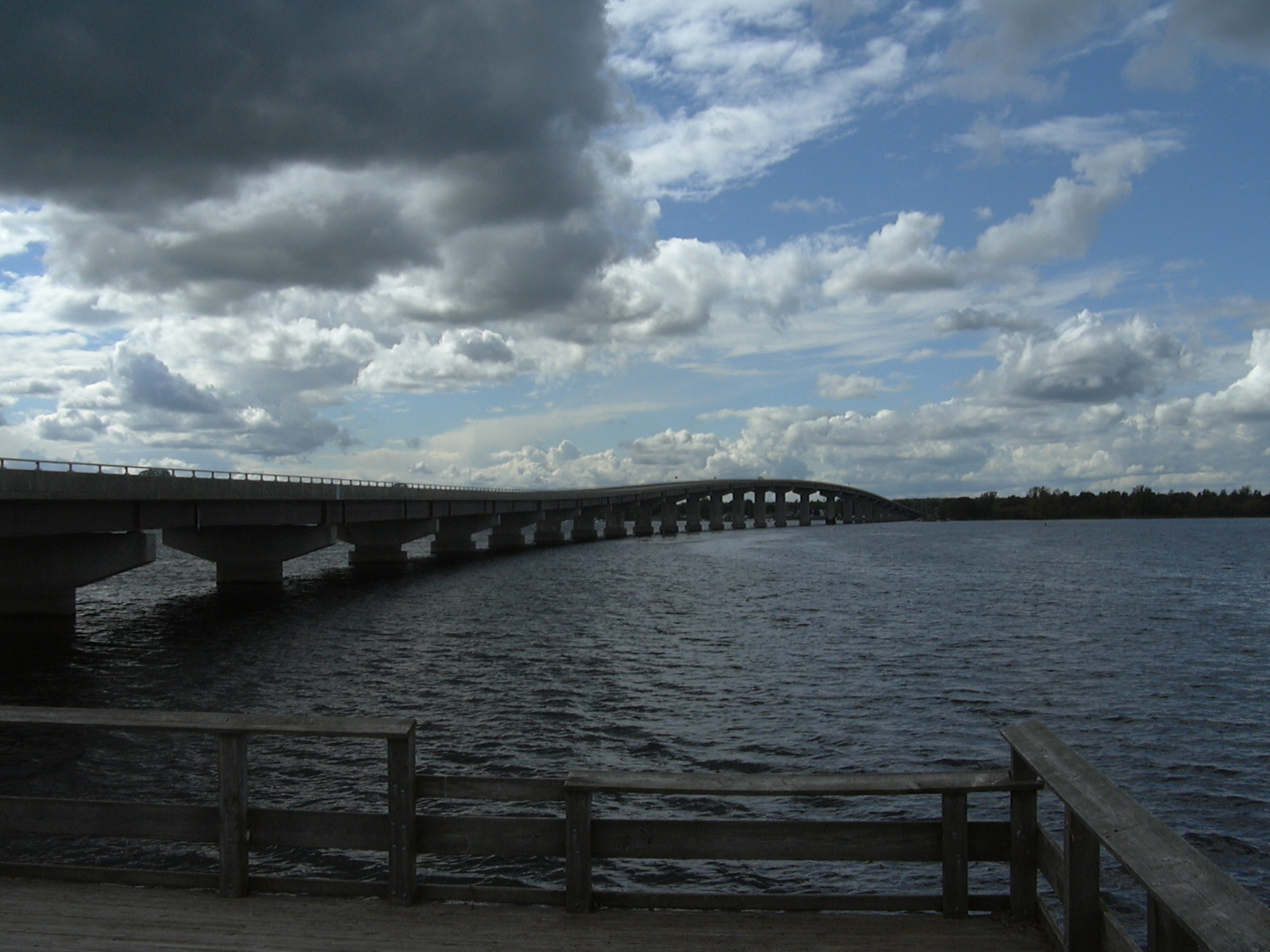
Bridge to Vermont
Rouses Point Bridge, NY, VT 20060920 003 Lake Champlain viewed from Alburgh, VT
Left view
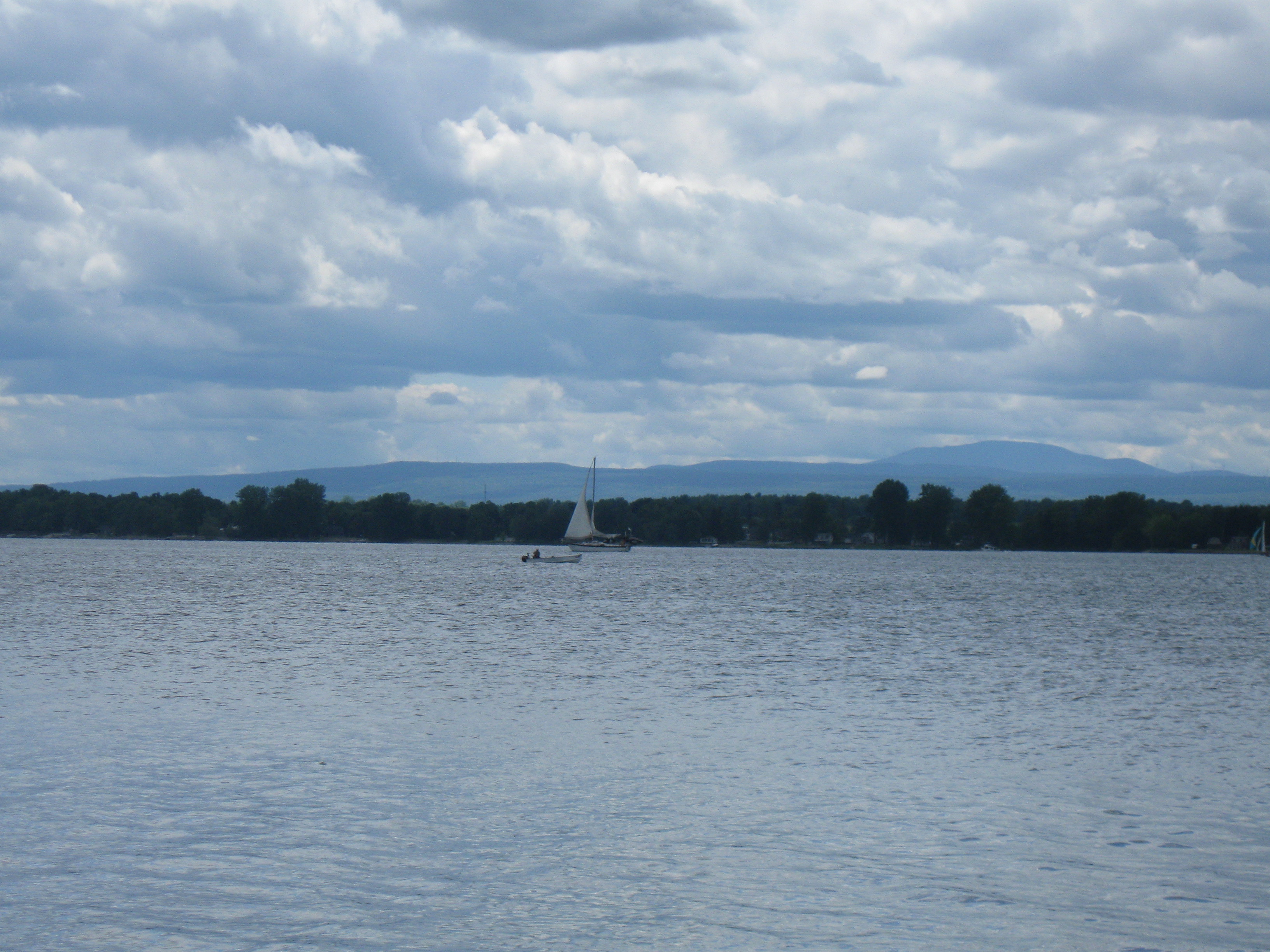
Lake Champlain and the Adirondack Mountains
Right view
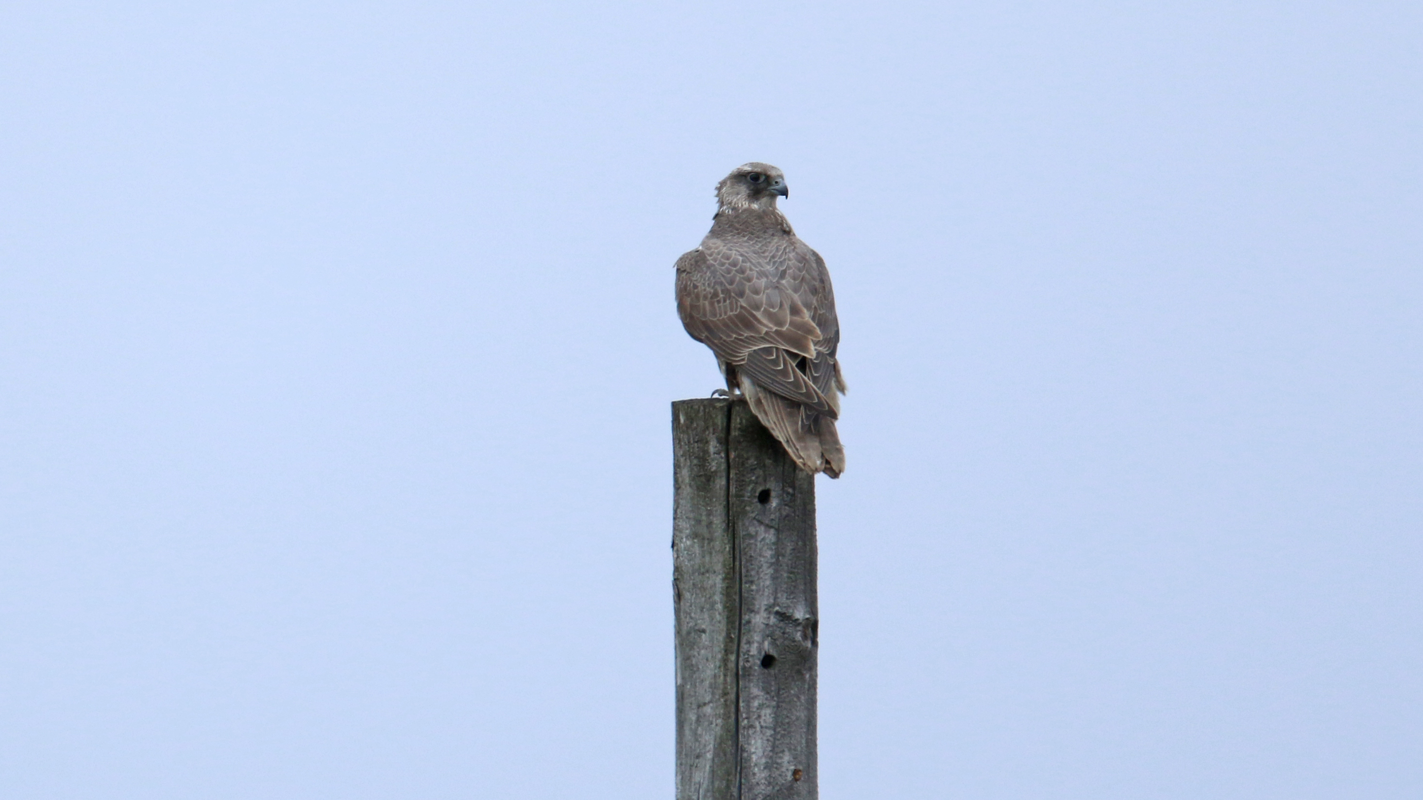
Faucon gerfaut_2A5A4434

Isle La Motte Lighthouse, Vermont

Isle La Motte Lighthouse, Vermont
Champ doré
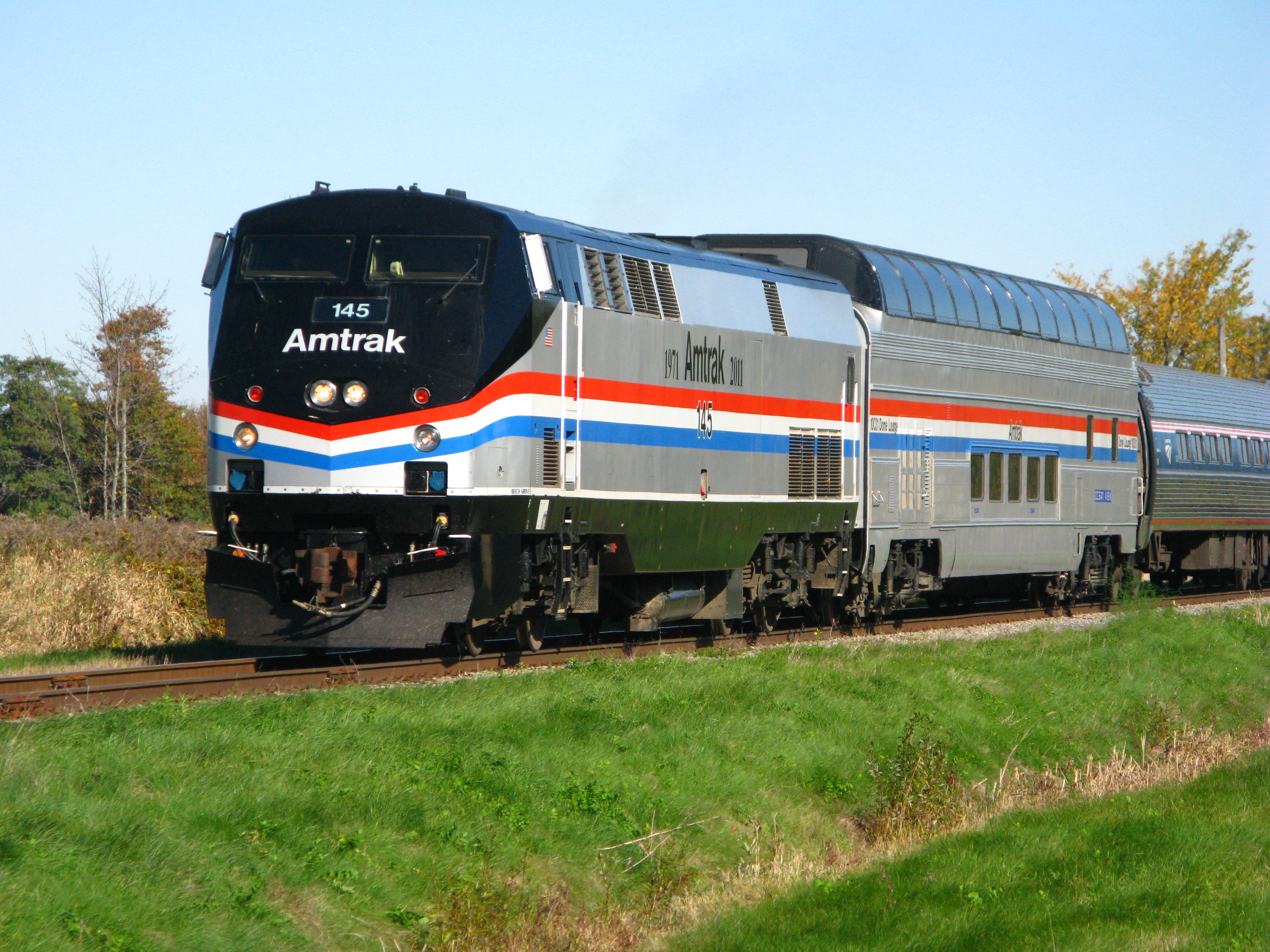
Amtrak's Adirondack with P42DC 145 & Great Dome Ocean View
Scenes from the Adirondack, no. 4

Great Dome Oceanview - Cantic Quebec
Fort Lennox, Quebec

View on the train ride home

Ivory Gull
GUEJ_2004-08-27_11-22-34

This Is Not The End (5/52)
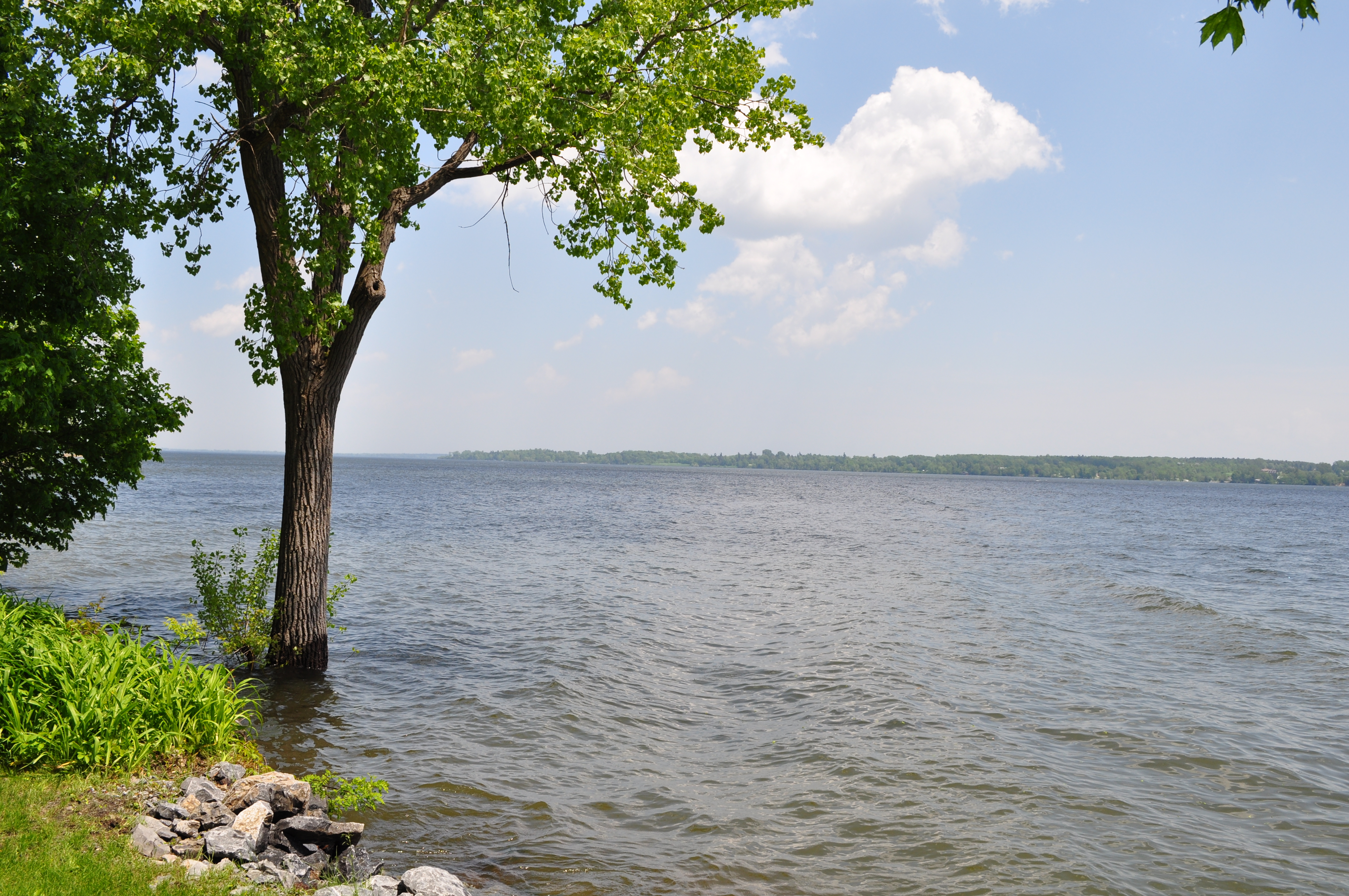
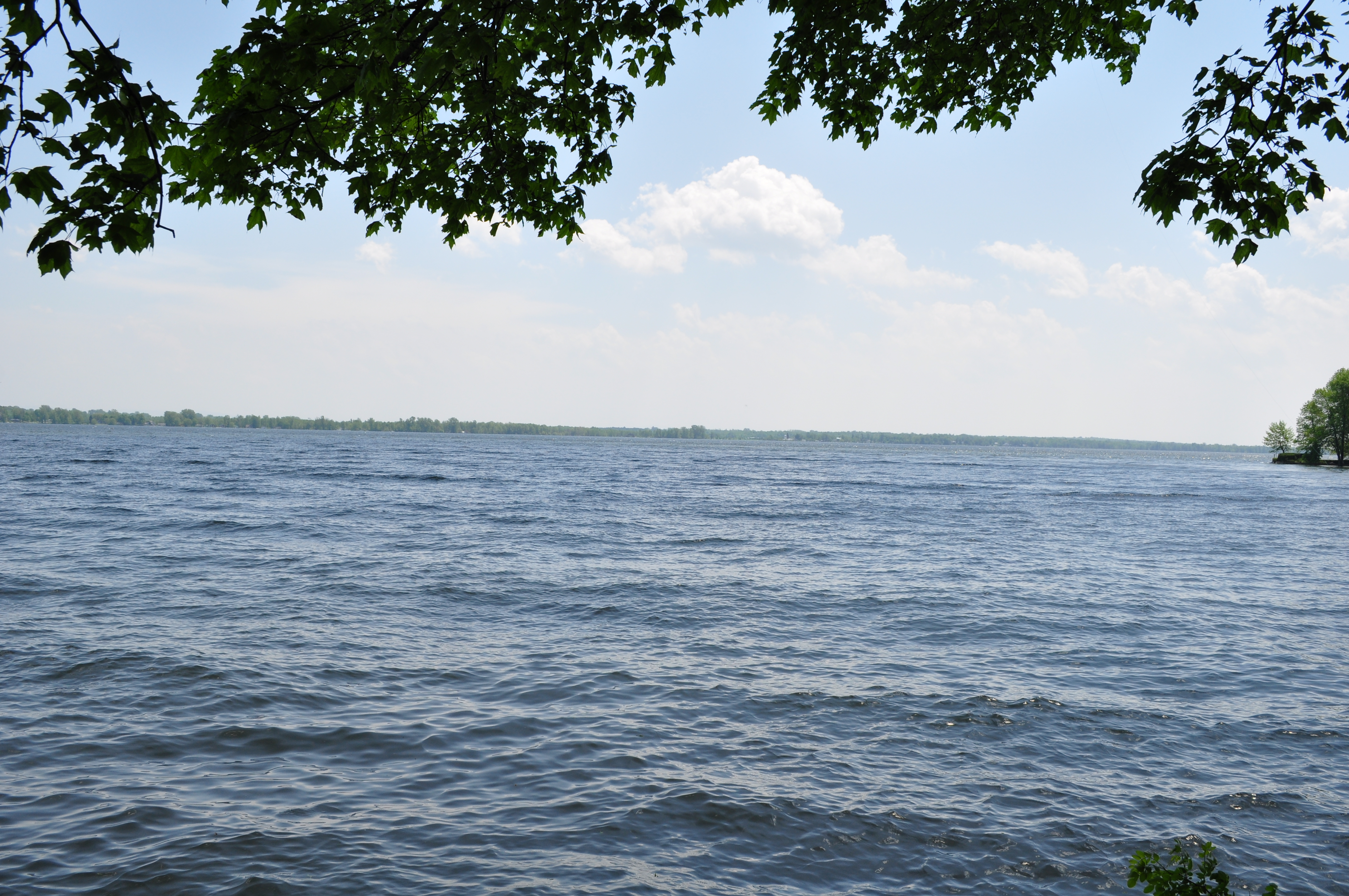
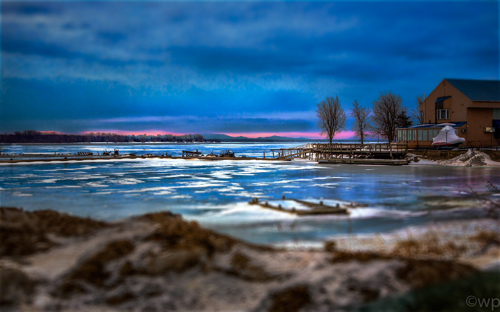
Lake Champlain

Alburgh, 2008-06-14 at 20-42-08 (IMG_4999)
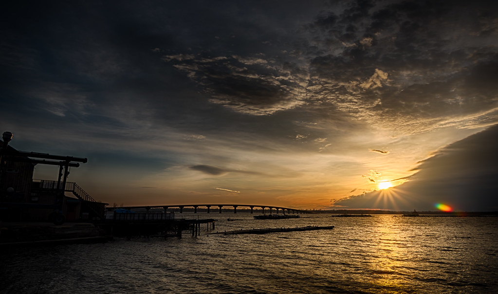
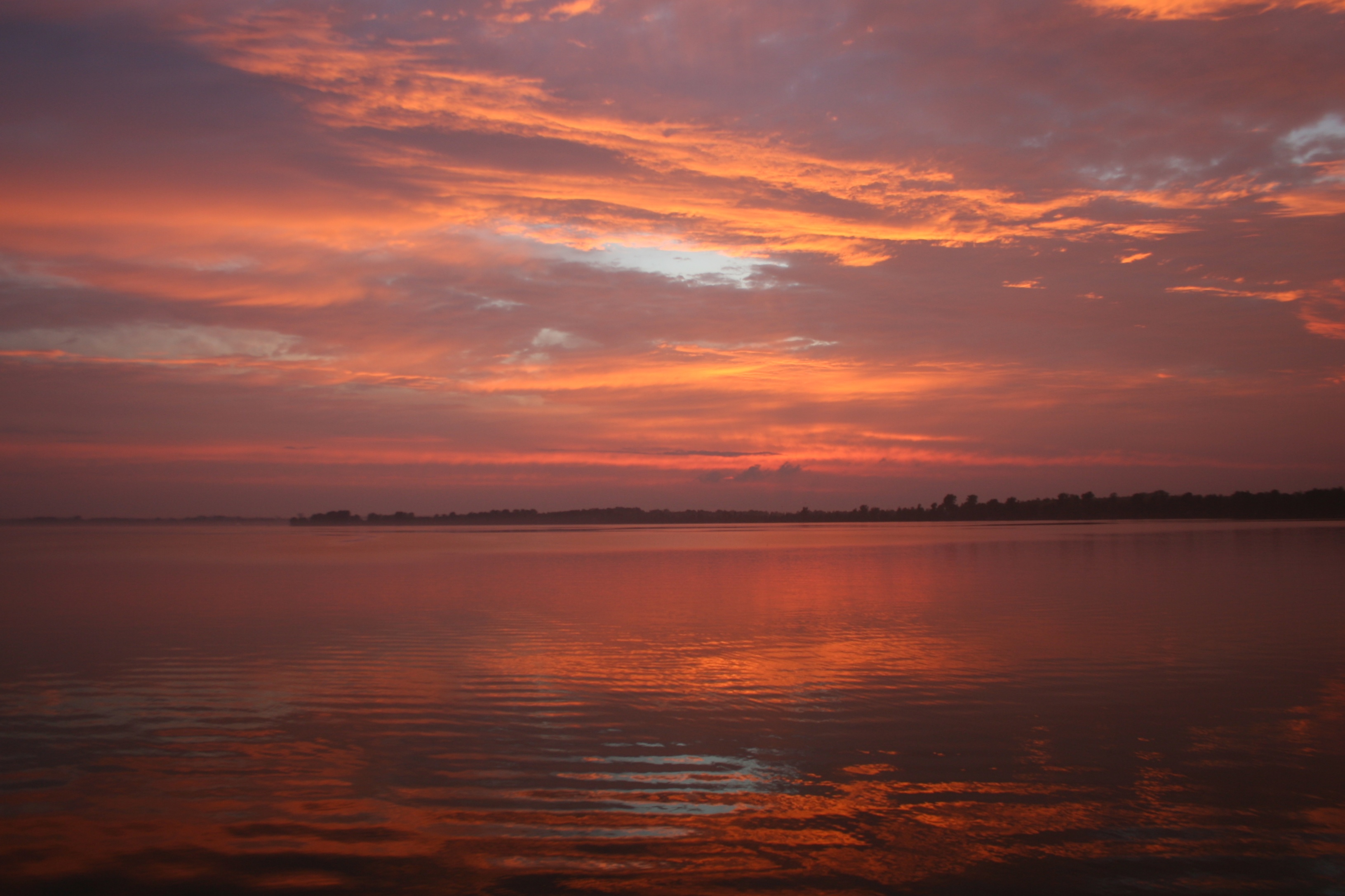
Sunset from Alburgh, VT
As Night Falls
Vermont_MG_5174-Edit.jpg
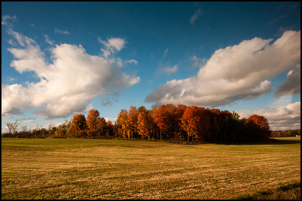
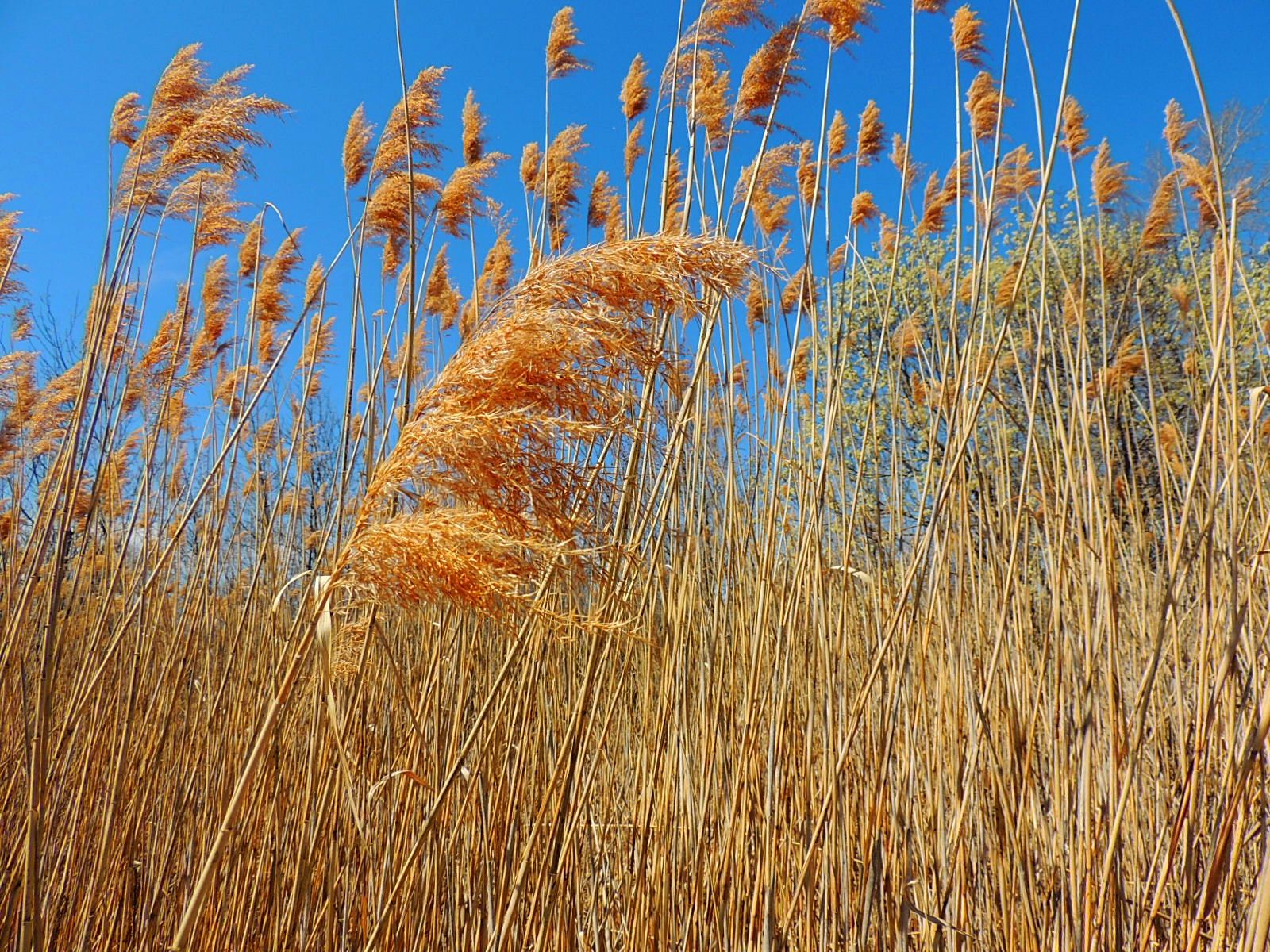
Un paysage couleur caramel
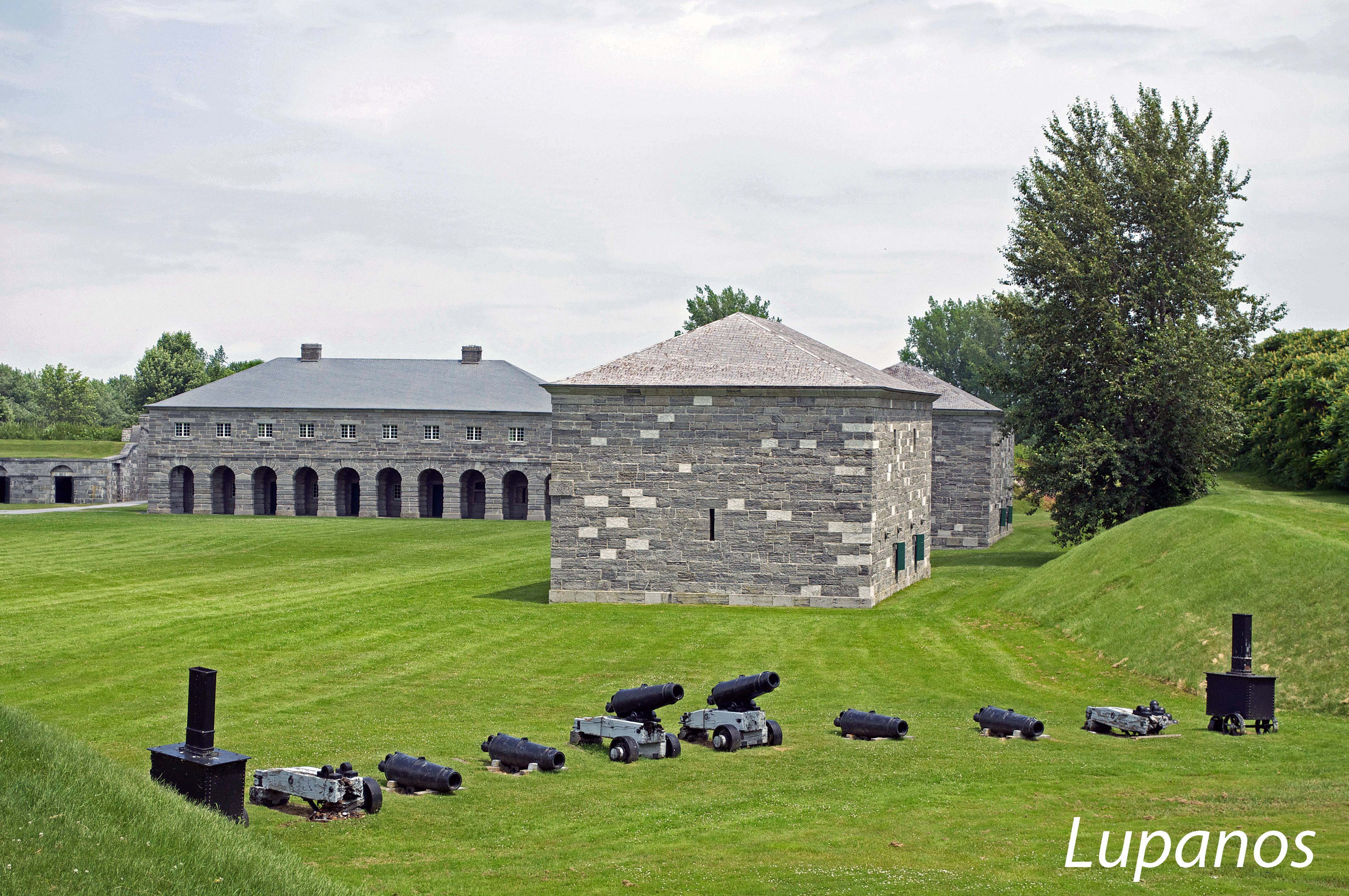
les canons du Fort Lennox

Just past the swing bridge
Alburg Dunes - Wetland Feathers

Roll of hay in Isle Lamotte, Vermont. #field #hay #vermont #vt #farm
IMG_7748.JPG

MNWR Hike 1

DSCF2437-Pano.jpg

Infinity Bridge
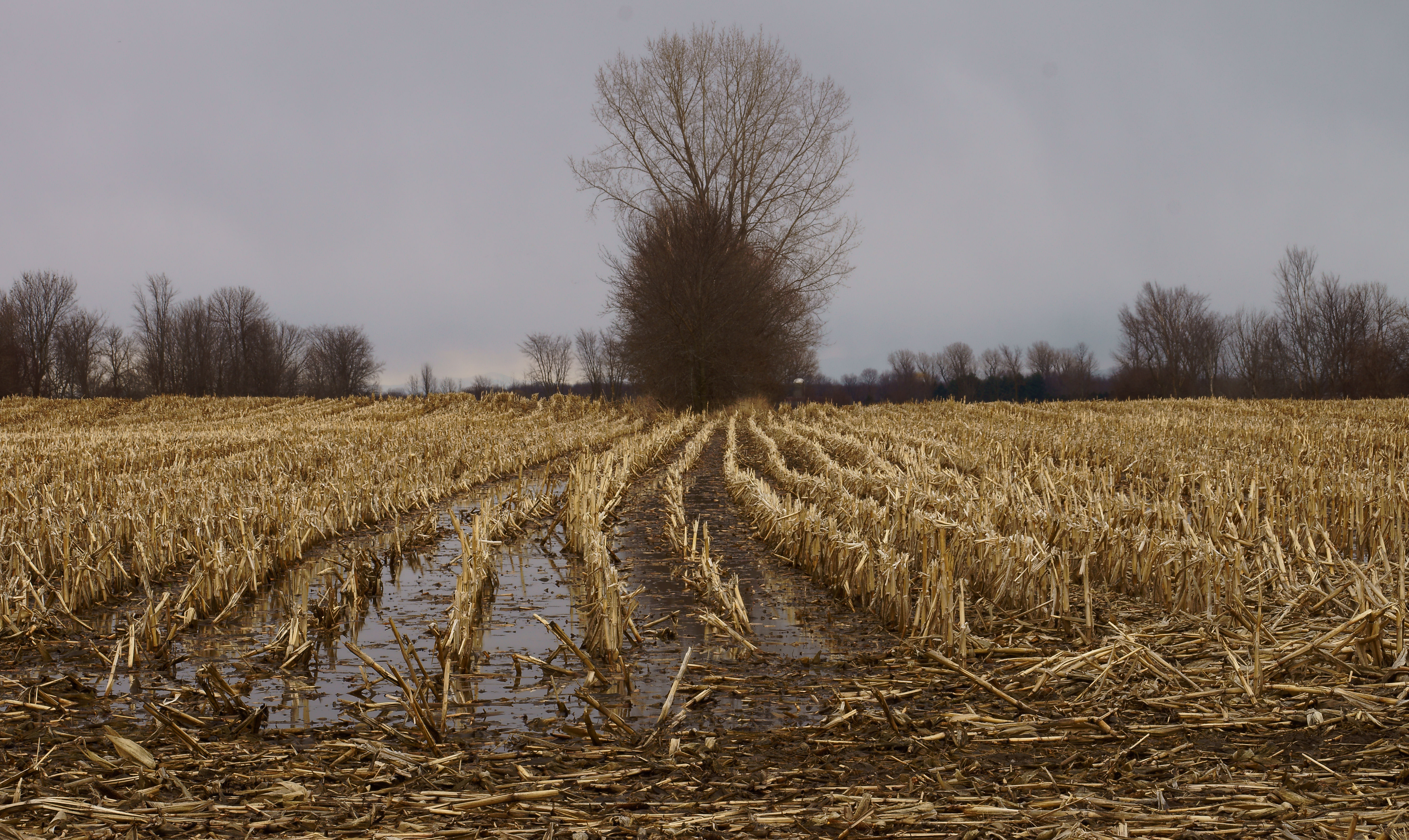
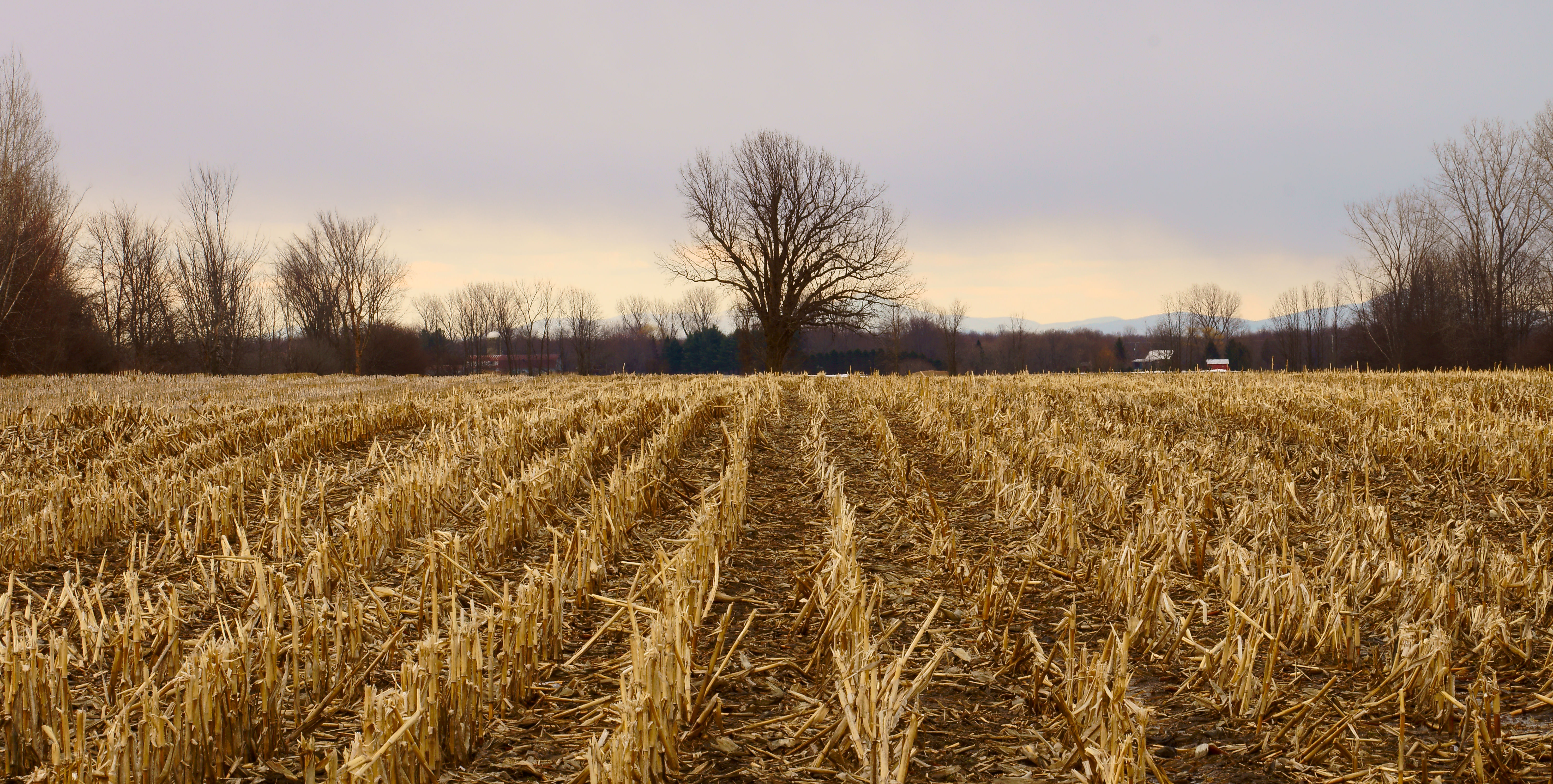
Champs détrempés
Le chemin du salut
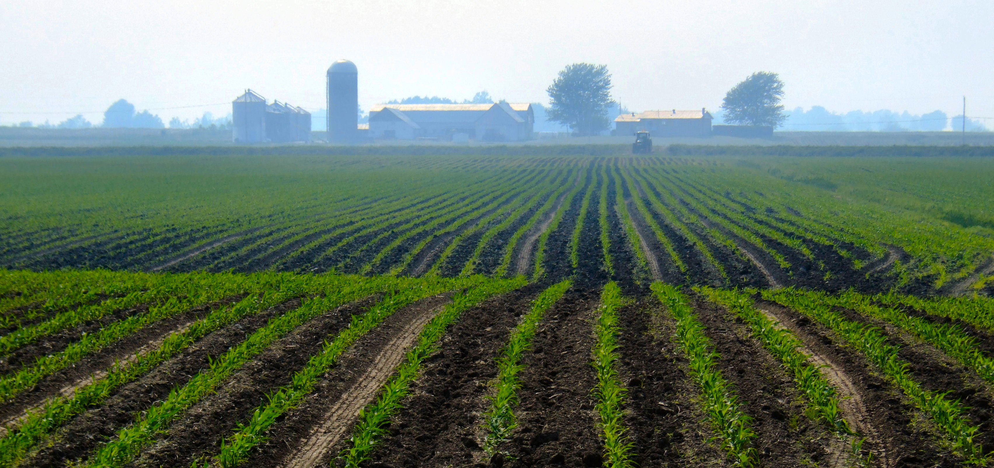
Géométrie agricole
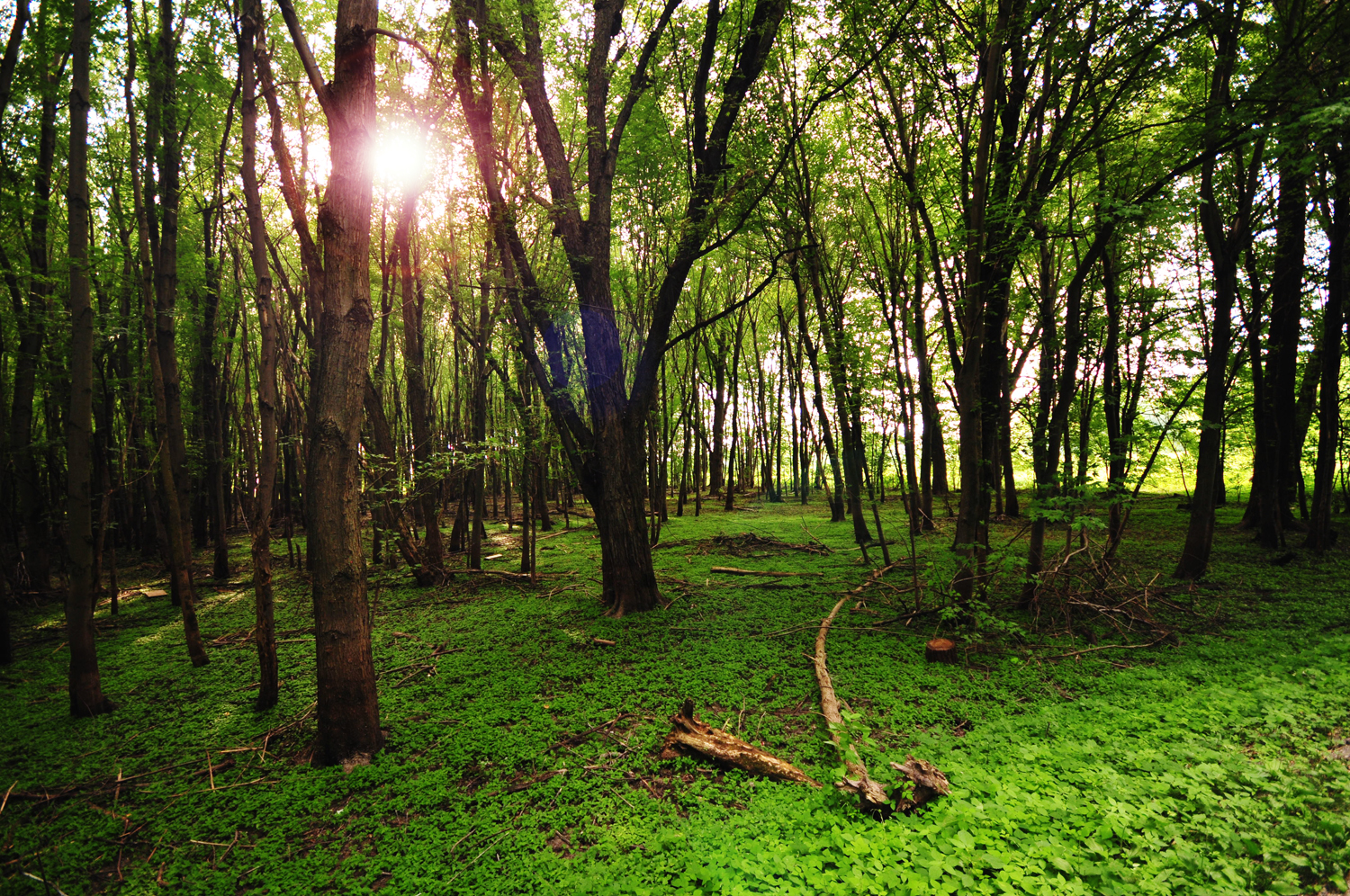
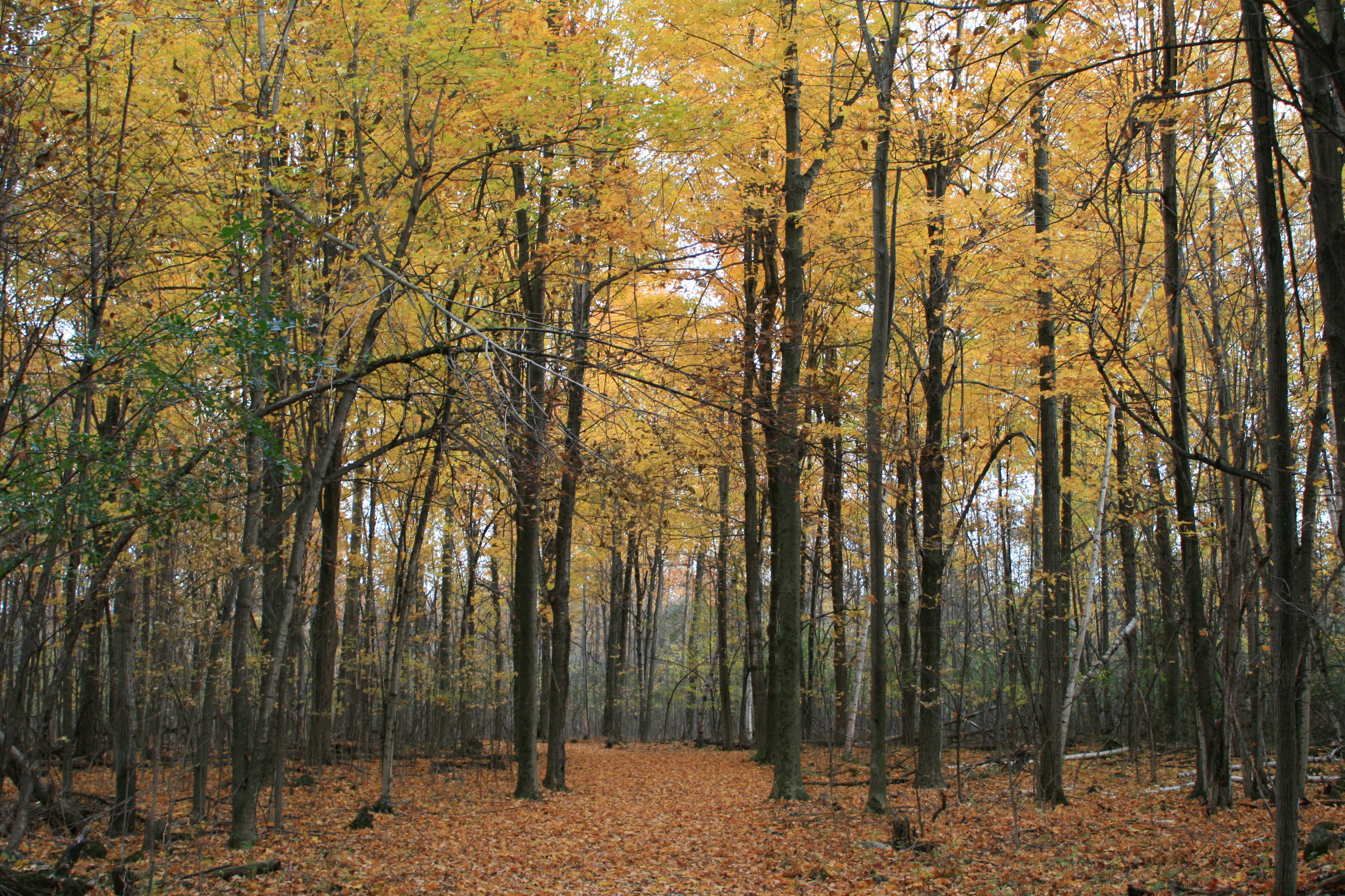
[ mysterious creatures inhabit the forest ] ...Or so I like to believe.

20120901-_DSC3965-
Alburgh, 2008-06-14 at 20-44-12 (IMG_5011)
Topographic Map of Rouses Point, NY, USA
Find elevation by address:

Places near Rouses Point, NY, USA:
327 Windmill Point
1447 Windmill Point
121 Windmill Point
Alburgh
Champlain
14 Lapointe Rd
186 N Shore Rd
48 Laporte Rd
Summit Road
1540 Lake Shore Rd
Isle La Motte
1493 Lake Shore Rd
19 Baxter St
N Farm Rd, Chazy, NY, USA
2341 W Shore Rd
Chazy
Fox Hill Road
2a
53 Poor Farm Rd
3534 W Shore Rd
Recent Searches:
- Elevation of Corso Fratelli Cairoli, 35, Macerata MC, Italy
- Elevation of Tallevast Rd, Sarasota, FL, USA
- Elevation of 4th St E, Sonoma, CA, USA
- Elevation of Black Hollow Rd, Pennsdale, PA, USA
- Elevation of Oakland Ave, Williamsport, PA, USA
- Elevation of Pedrógão Grande, Portugal
- Elevation of Klee Dr, Martinsburg, WV, USA
- Elevation of Via Roma, Pieranica CR, Italy
- Elevation of Tavkvetili Mountain, Georgia
- Elevation of Hartfords Bluff Cir, Mt Pleasant, SC, USA