Elevation of Round Lake, ON K0L, Canada
Location: Canada > Ontario > Peterborough County > Havelock-belmont-methuen >
Longitude: -77.888773
Latitude: 44.529233
Elevation: 227m / 745feet
Barometric Pressure: 99KPa
Elevation Map:
Satellite Map:
Related Photos:
Crowe Lake_0339
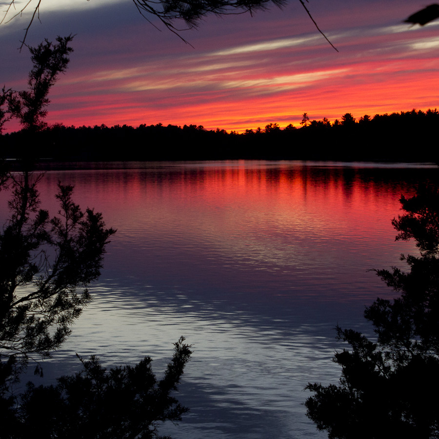
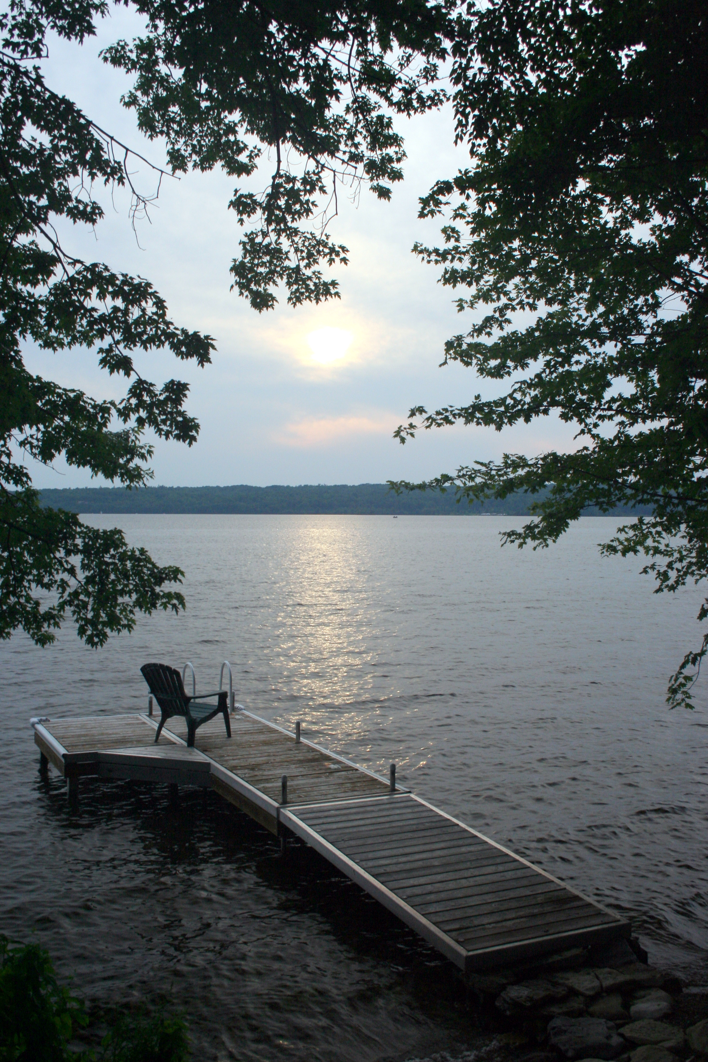
Beautiful Sunset
Milky Way over Oak Lake
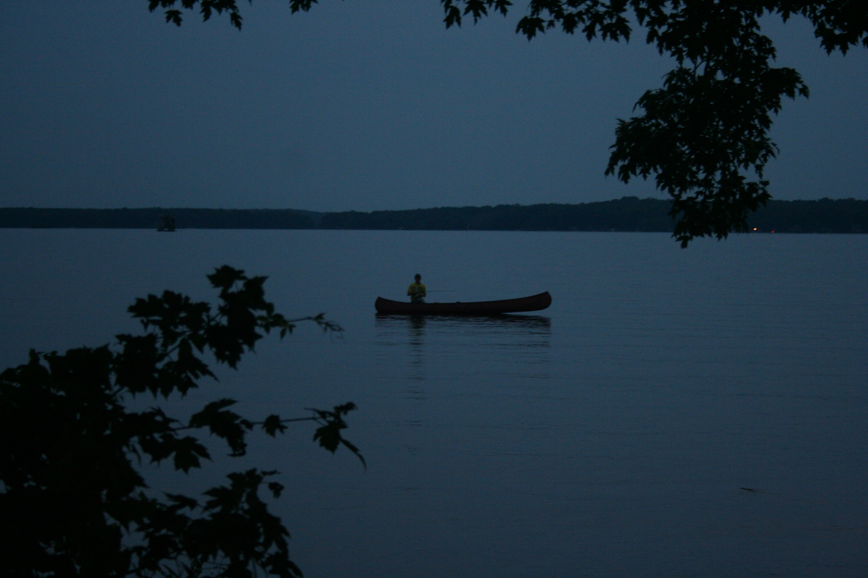
dusk at crowe lake

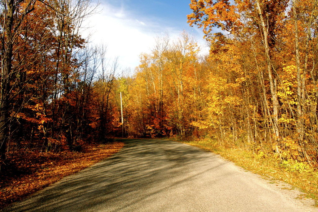
off devil's 4 mile road

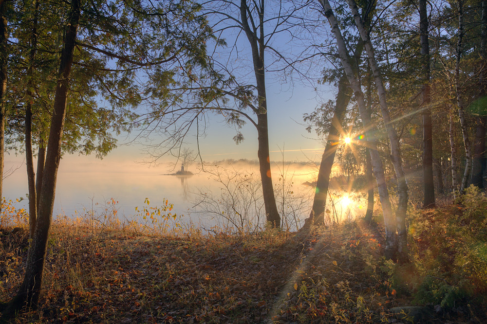
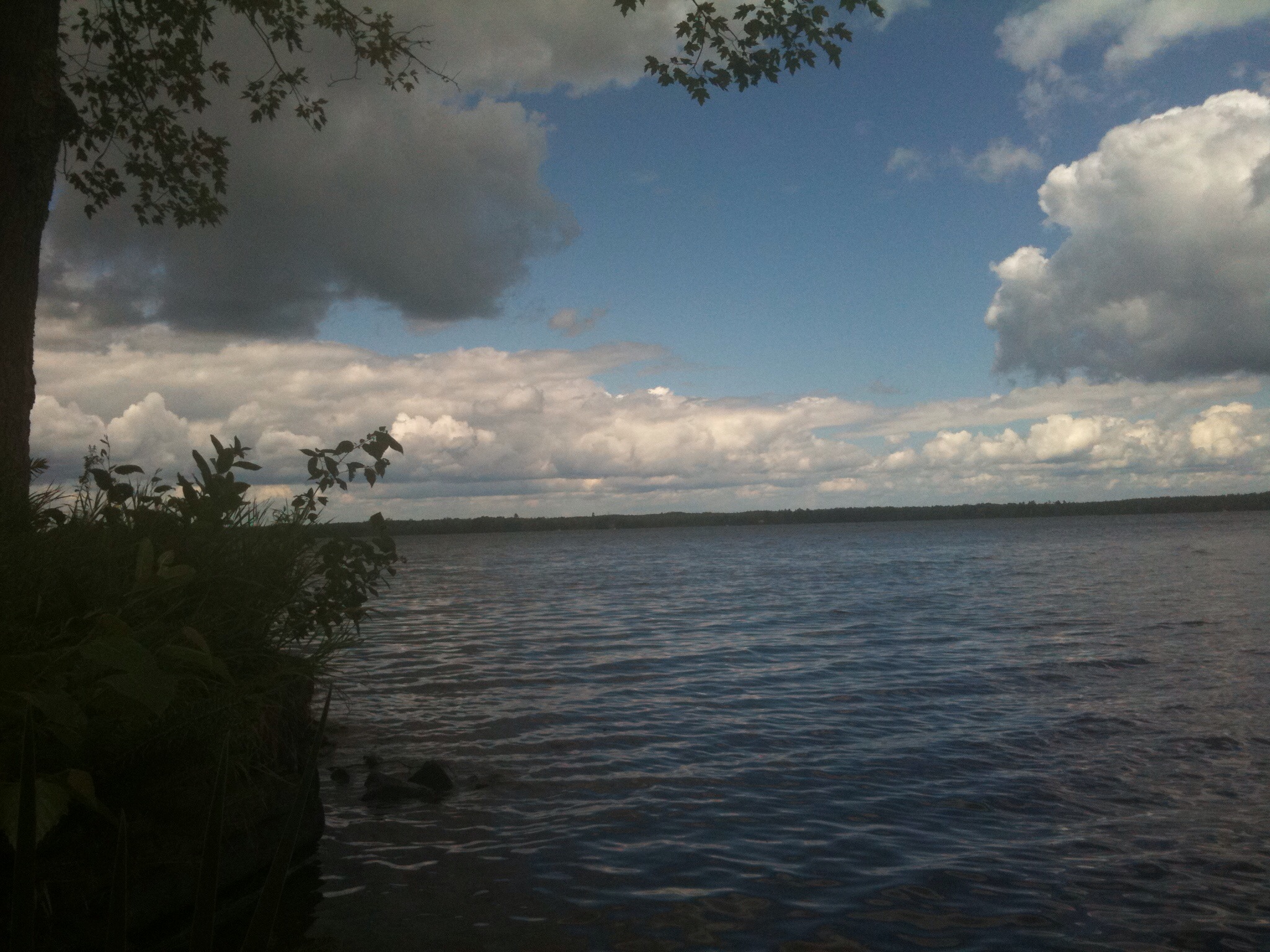
quiet morning
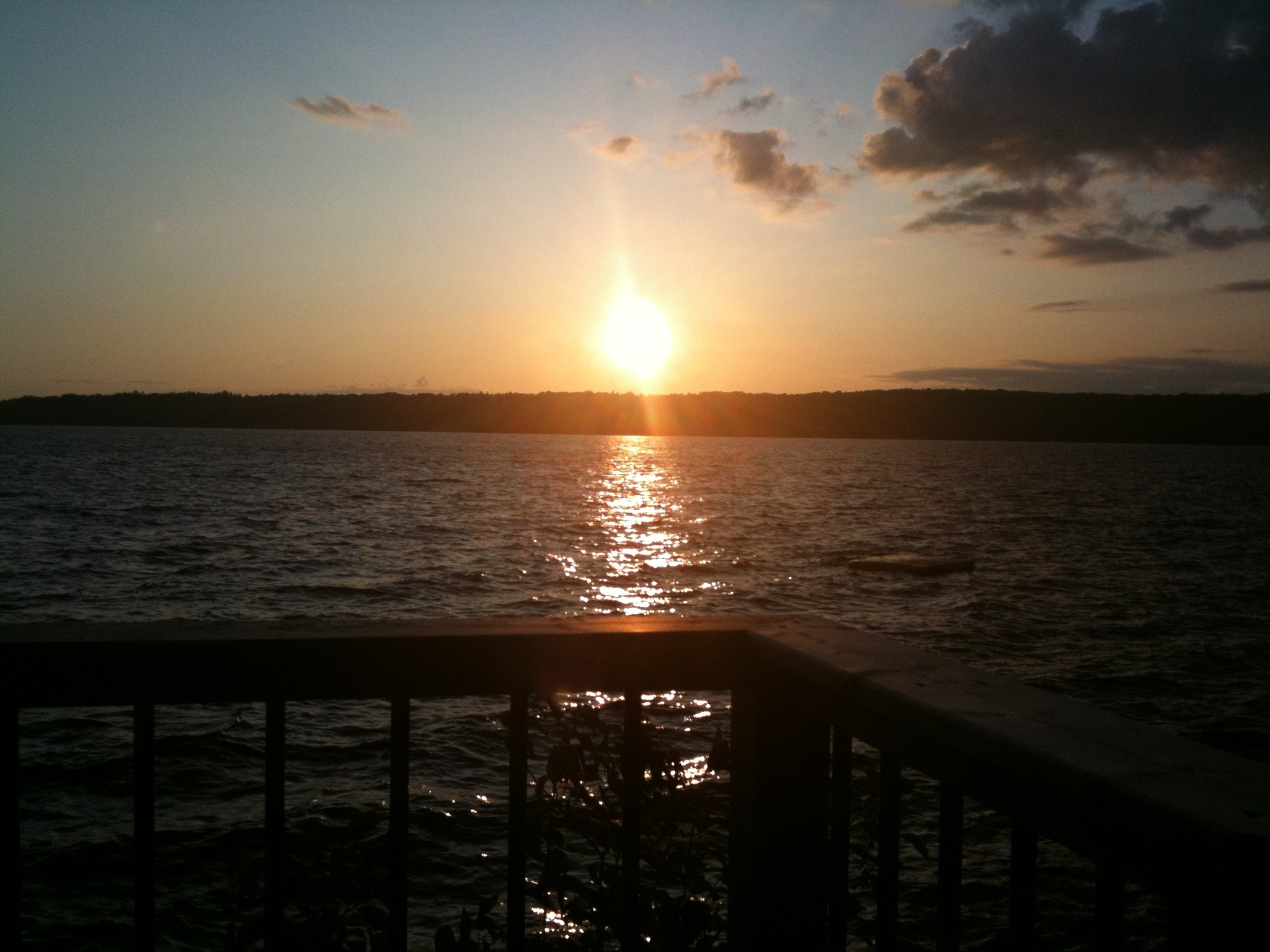
Stoney Lake sunset

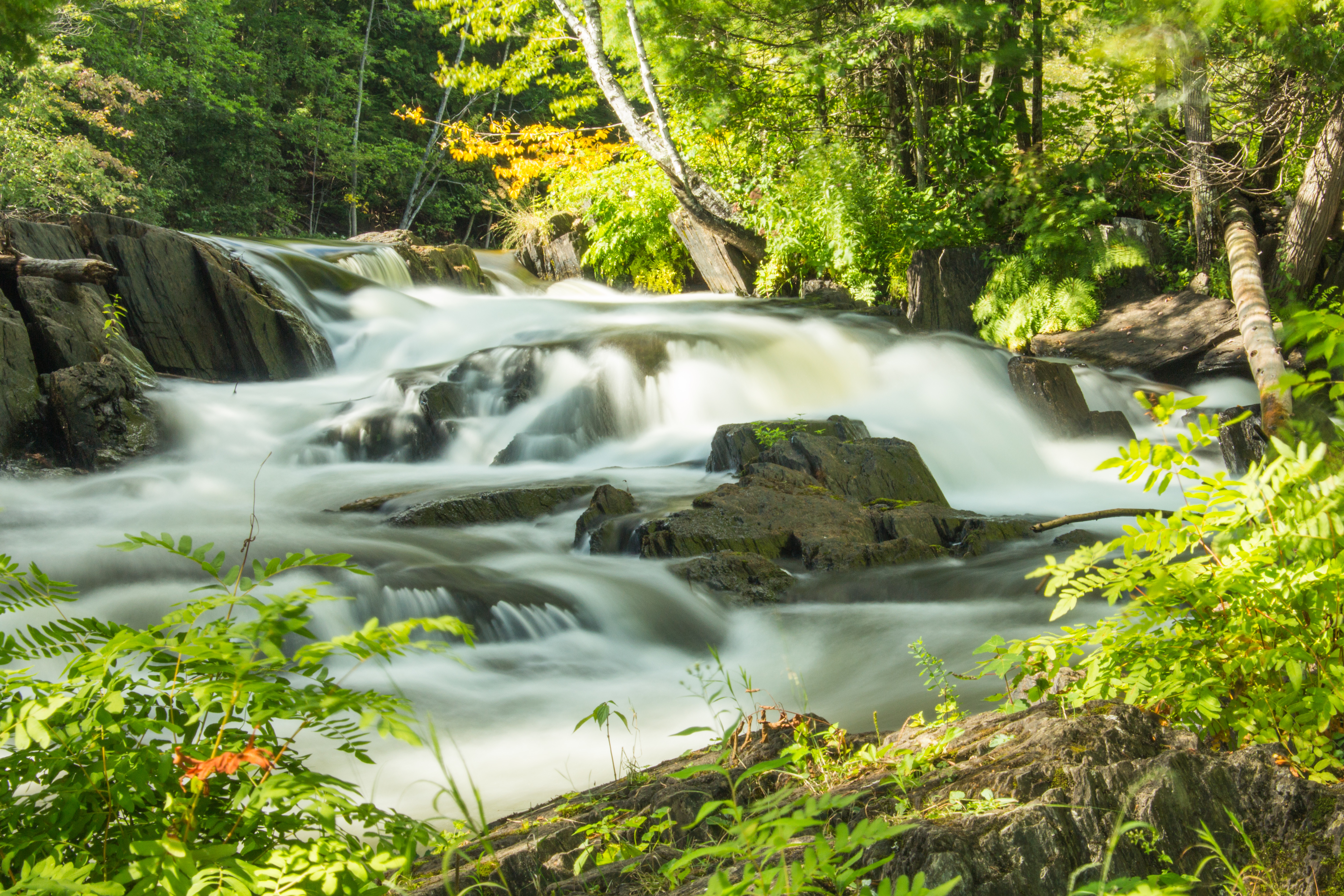
Water's Way
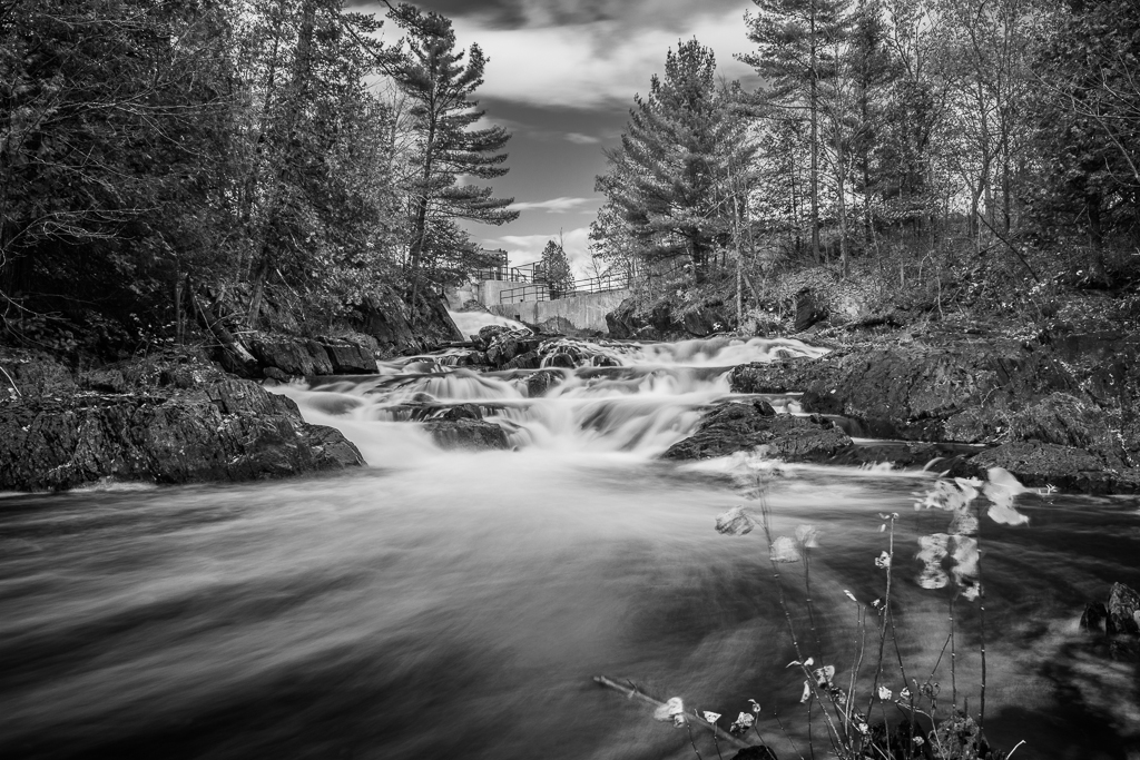
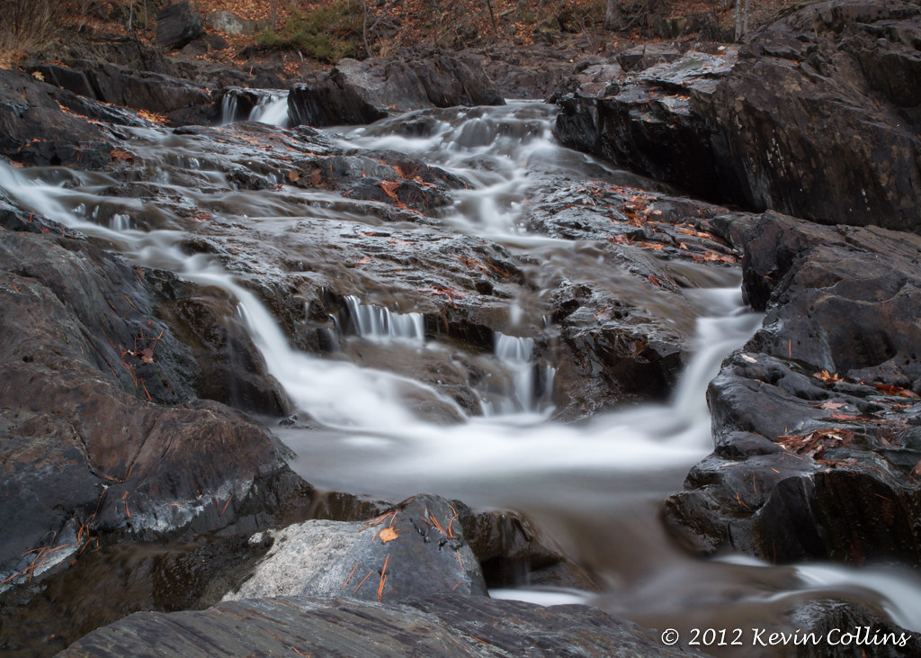
Cordova Falls
sweet freedom
Green, White, and Orange all over.
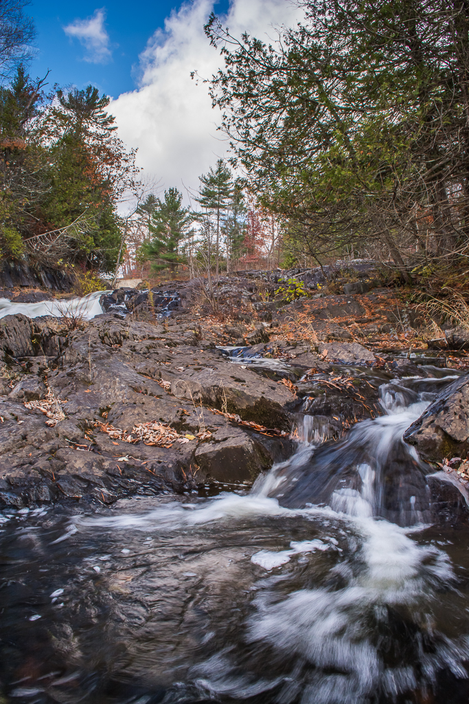
Cordova Falls
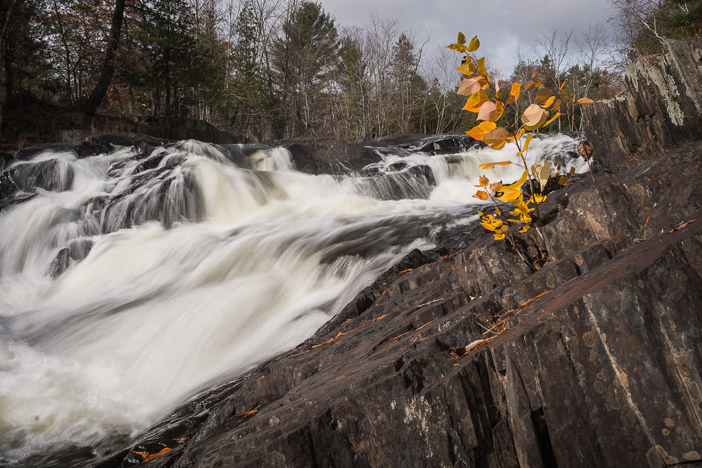
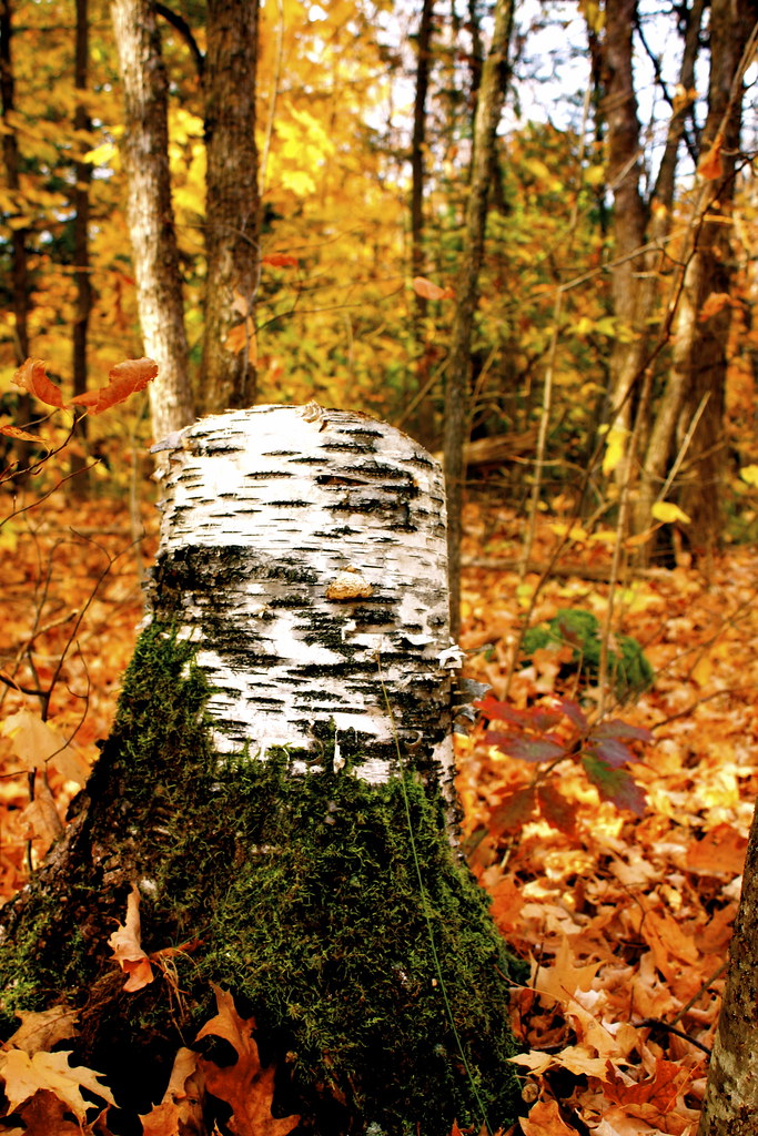
Growing From the Rock
morning at crowe lake
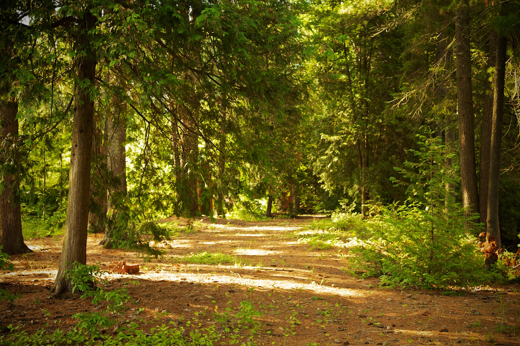
Shadow Path
Sunset at cottage
Ontario Summer 2011
Crowe Lake_9812
Cordova Falls 2
Crowe Lake_9800
All Directions
20140824-IMG_6954
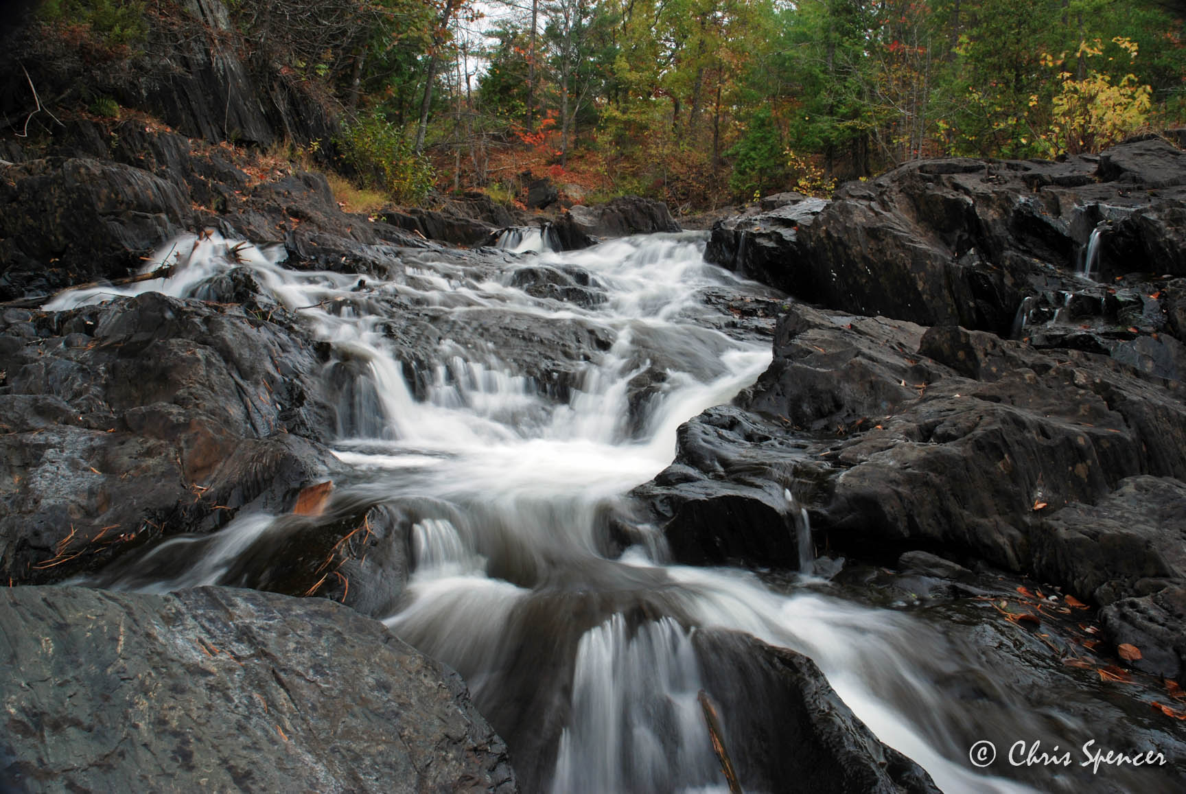
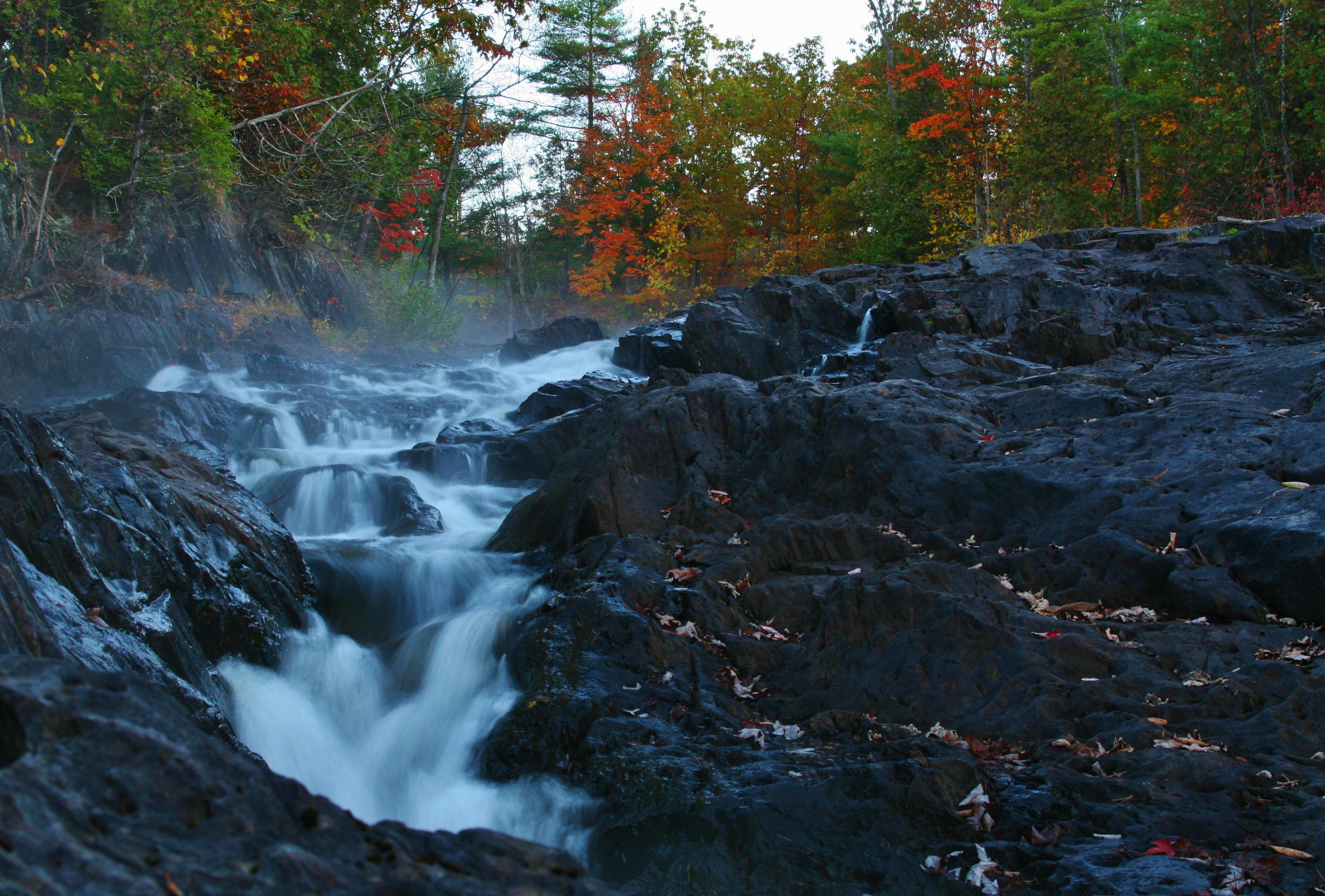
Cordova Falls, Cordova, Ontario
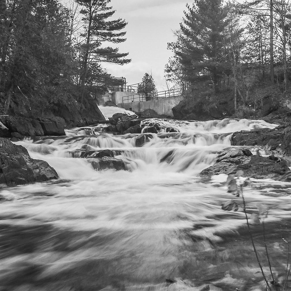
Cordova Falls
Topographic Map of Round Lake, ON K0L, Canada
Find elevation by address:

Places near Round Lake, ON K0L, Canada:
Havelock-belmont-methuen
58 Fire Rte 26g
716 Twelfth Line Dummer Rd
Havelock
1136 Belmont Township 2 Line
7370 On-7
409 Blairton Rd
421 Fire Rte 82
165 Fire Rte 82d
189 Cedarshores Dr
Blue Mountain
260 Unimin Rd
Crowe Lake
Norwood
56 Ridge St
87 Lakeshore Rd
283 A Marble Point Rd
Tangamong Lake
276 Quinn Rd
2883 13th Line E
Recent Searches:
- Elevation of Corso Fratelli Cairoli, 35, Macerata MC, Italy
- Elevation of Tallevast Rd, Sarasota, FL, USA
- Elevation of 4th St E, Sonoma, CA, USA
- Elevation of Black Hollow Rd, Pennsdale, PA, USA
- Elevation of Oakland Ave, Williamsport, PA, USA
- Elevation of Pedrógão Grande, Portugal
- Elevation of Klee Dr, Martinsburg, WV, USA
- Elevation of Via Roma, Pieranica CR, Italy
- Elevation of Tavkvetili Mountain, Georgia
- Elevation of Hartfords Bluff Cir, Mt Pleasant, SC, USA