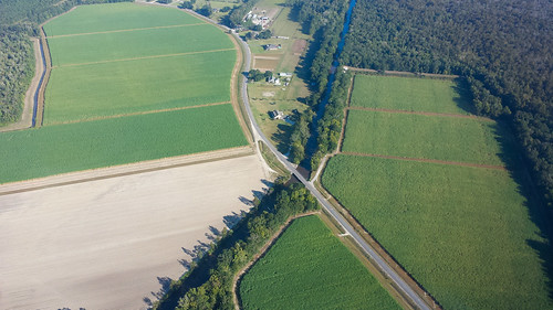
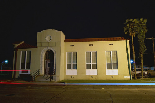
Elevation of Rosedown St, Thibodaux, LA, USA
Location: United States > Louisiana > Lafourche Parish > >
Longitude: -90.851088
Latitude: 29.7967798
Elevation: 3m / 10feet
Barometric Pressure: 101KPa
Related Photos:
Topographic Map of Rosedown St, Thibodaux, LA, USA
Find elevation by address:

Places near Rosedown St, Thibodaux, LA, USA:
1422 La-308
1116 Renee Dr
1301 St Mary St
500 St Bernard St
St Bernard St, Thibodaux, LA, USA
Settlement At Live Oak
1301 St Bernard St
1409 E Camellia Dr
1413 W Camellia Dr
Home Cottage Road
107 Carondelet Court
285 Waverly Rd
139 Sugar Cane Way
139 Sugar Cane Way
Waverly Road
606 Maple St
136 Lake Olivia Dr
1930 Bayou Rd
Abby Road
571 Waverly Rd
Recent Searches:
- Elevation of Corso Fratelli Cairoli, 35, Macerata MC, Italy
- Elevation of Tallevast Rd, Sarasota, FL, USA
- Elevation of 4th St E, Sonoma, CA, USA
- Elevation of Black Hollow Rd, Pennsdale, PA, USA
- Elevation of Oakland Ave, Williamsport, PA, USA
- Elevation of Pedrógão Grande, Portugal
- Elevation of Klee Dr, Martinsburg, WV, USA
- Elevation of Via Roma, Pieranica CR, Italy
- Elevation of Tavkvetili Mountain, Georgia
- Elevation of Hartfords Bluff Cir, Mt Pleasant, SC, USA
