Elevation of Romie Hill Rd, Kenna, WV, USA
Location: United States > West Virginia > Jackson County > Eastern > Kenna >
Longitude: -81.617758
Latitude: 38.623761
Elevation: 231m / 758feet
Barometric Pressure: 99KPa
Elevation Map:
Satellite Map:
Related Photos:

sunset 1

Bridge 977-08
Wishing for Spring

Bridge 977-07
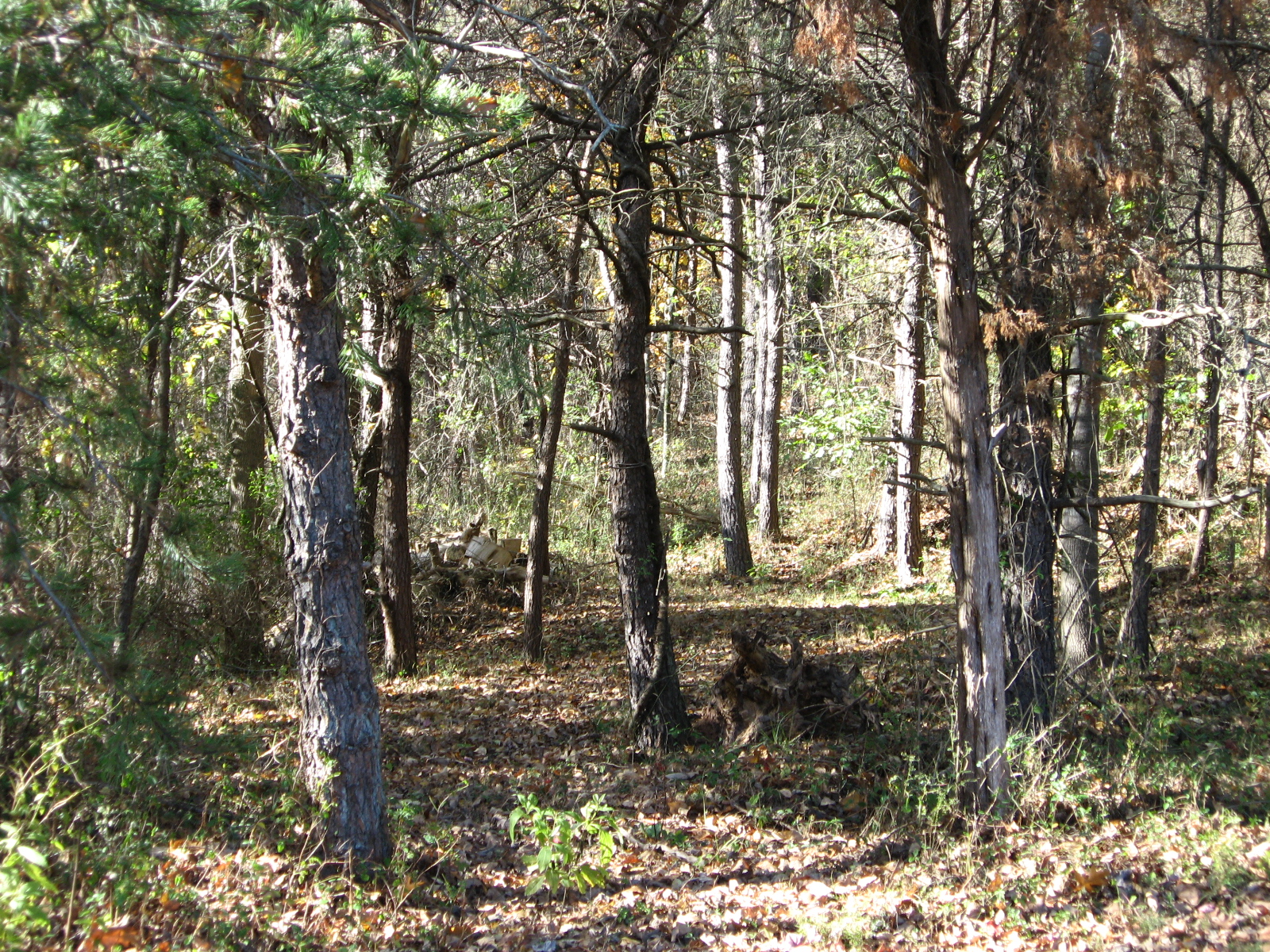
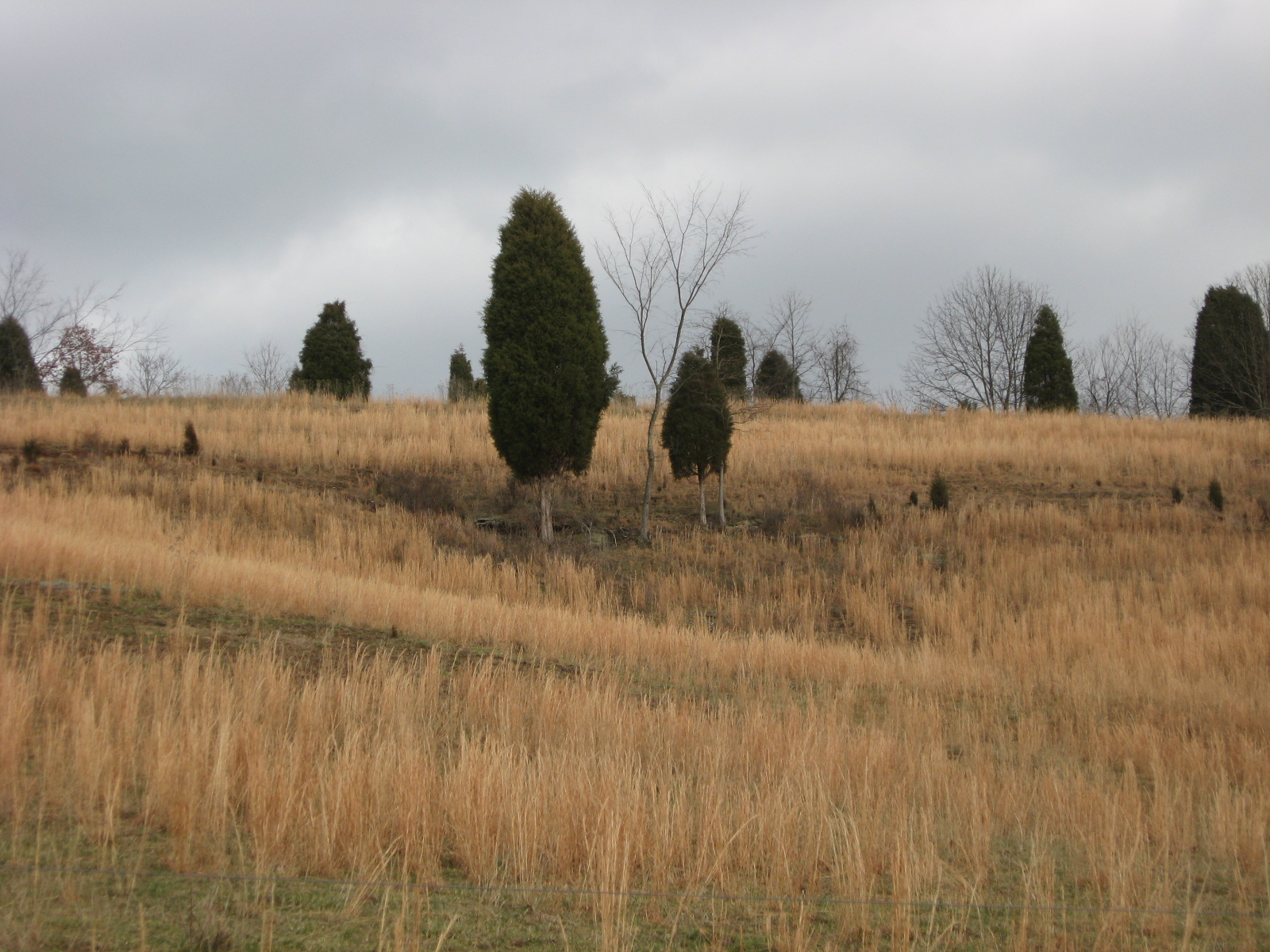
A Clearing In the Path

Bridge 981-05

Bridge 984-12
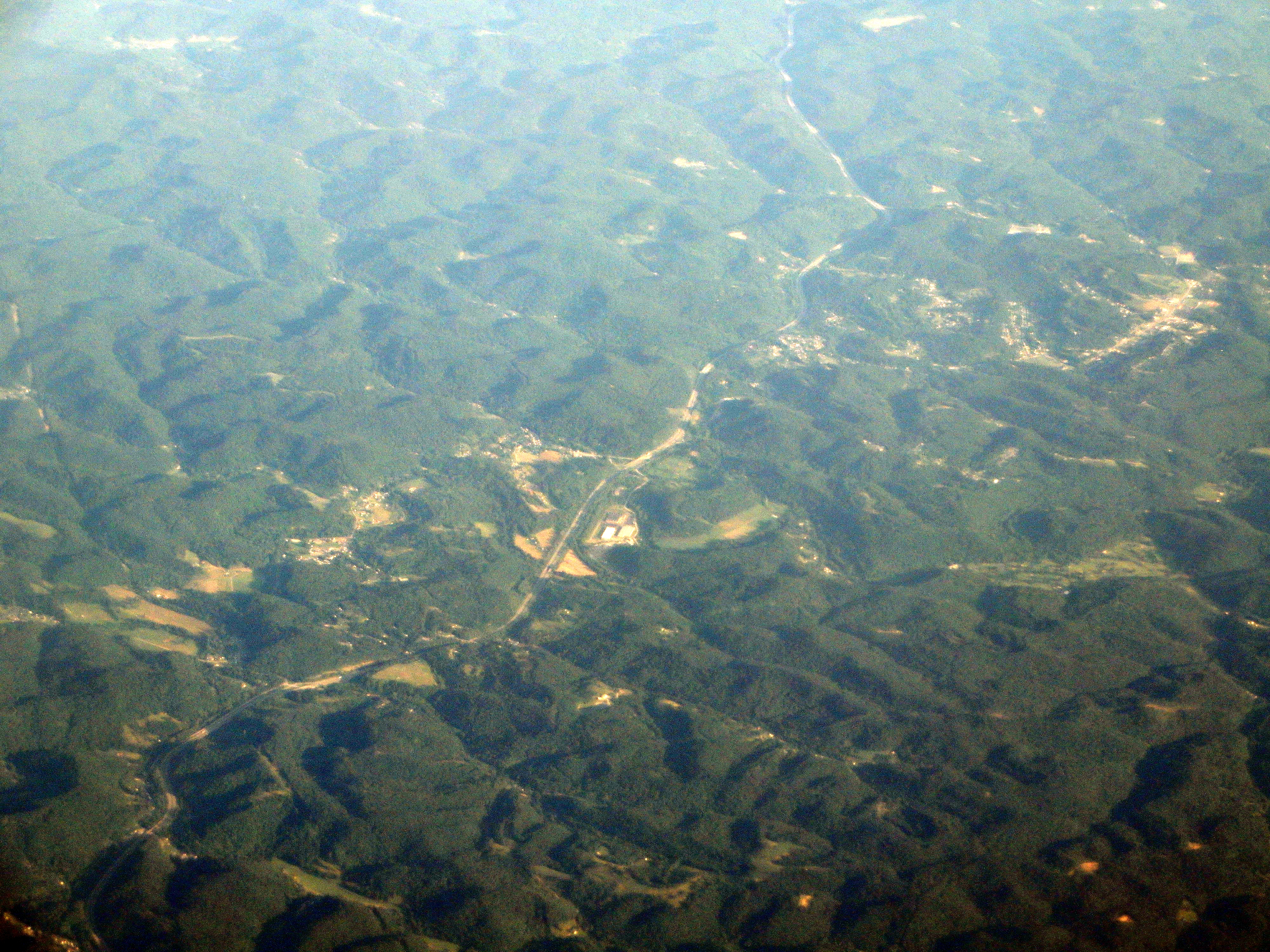
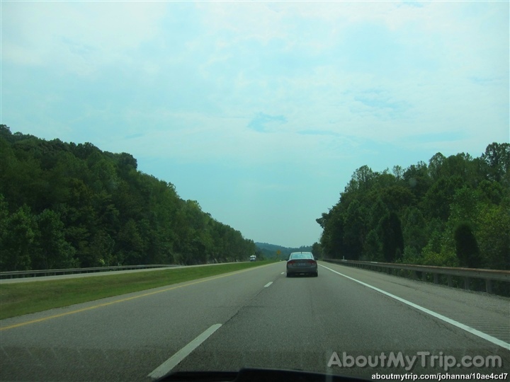
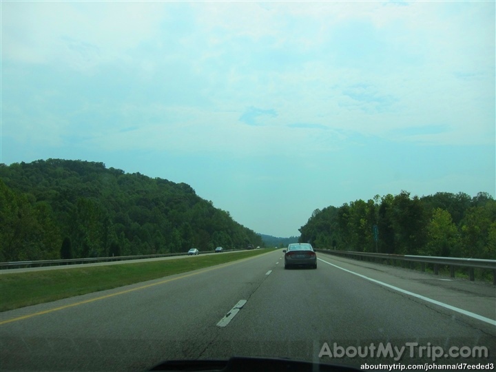
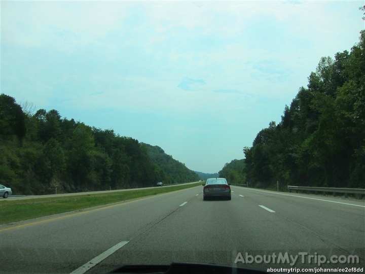
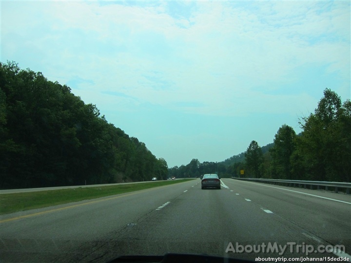
Interstate 77, Sissonville, West Virginia

Interstate 77, Kenna and Sissonville, West Virginia

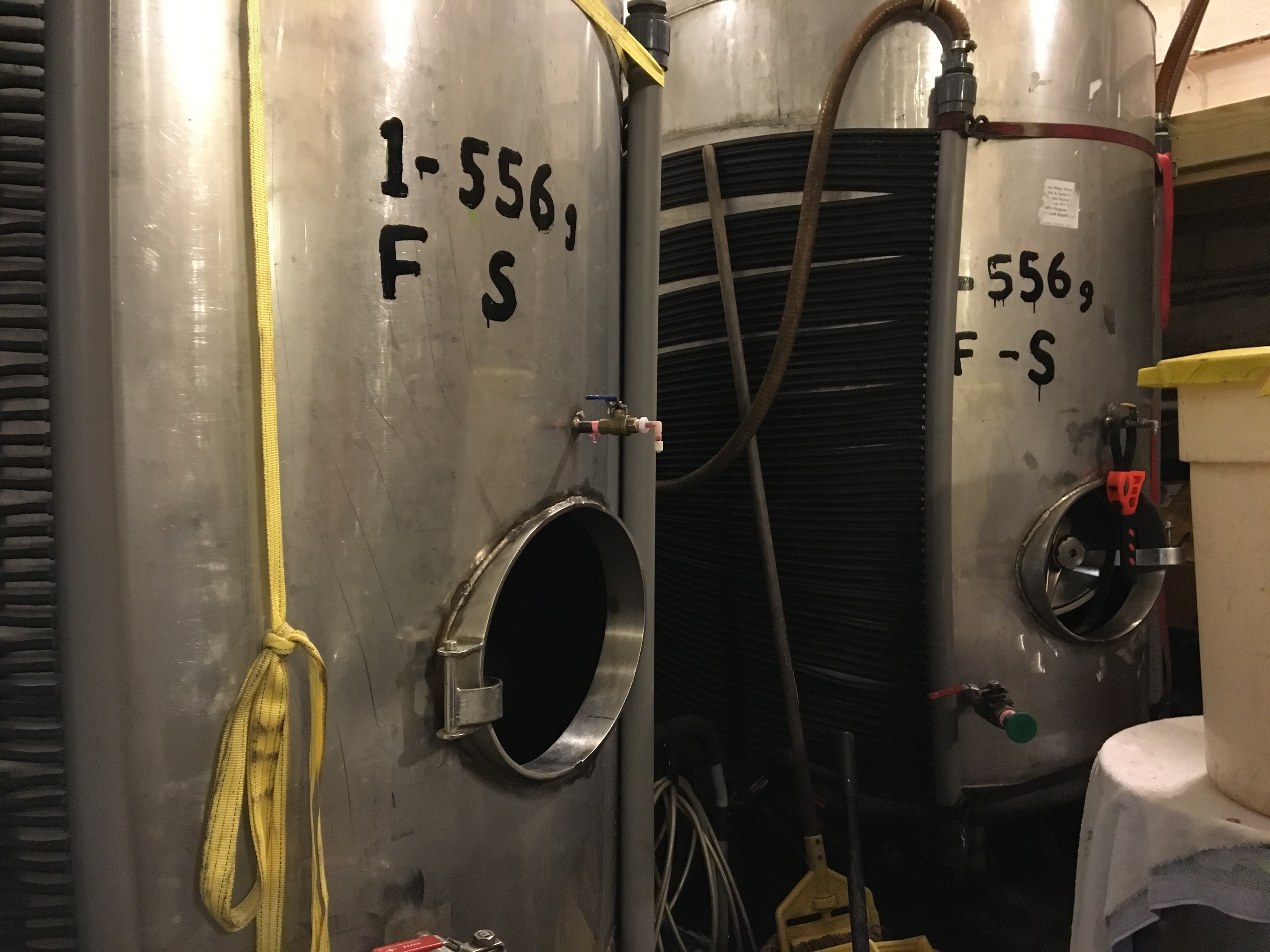
Fisher Ridge Winery

Fisher Ridge Winery

Fisher Ridge Winery

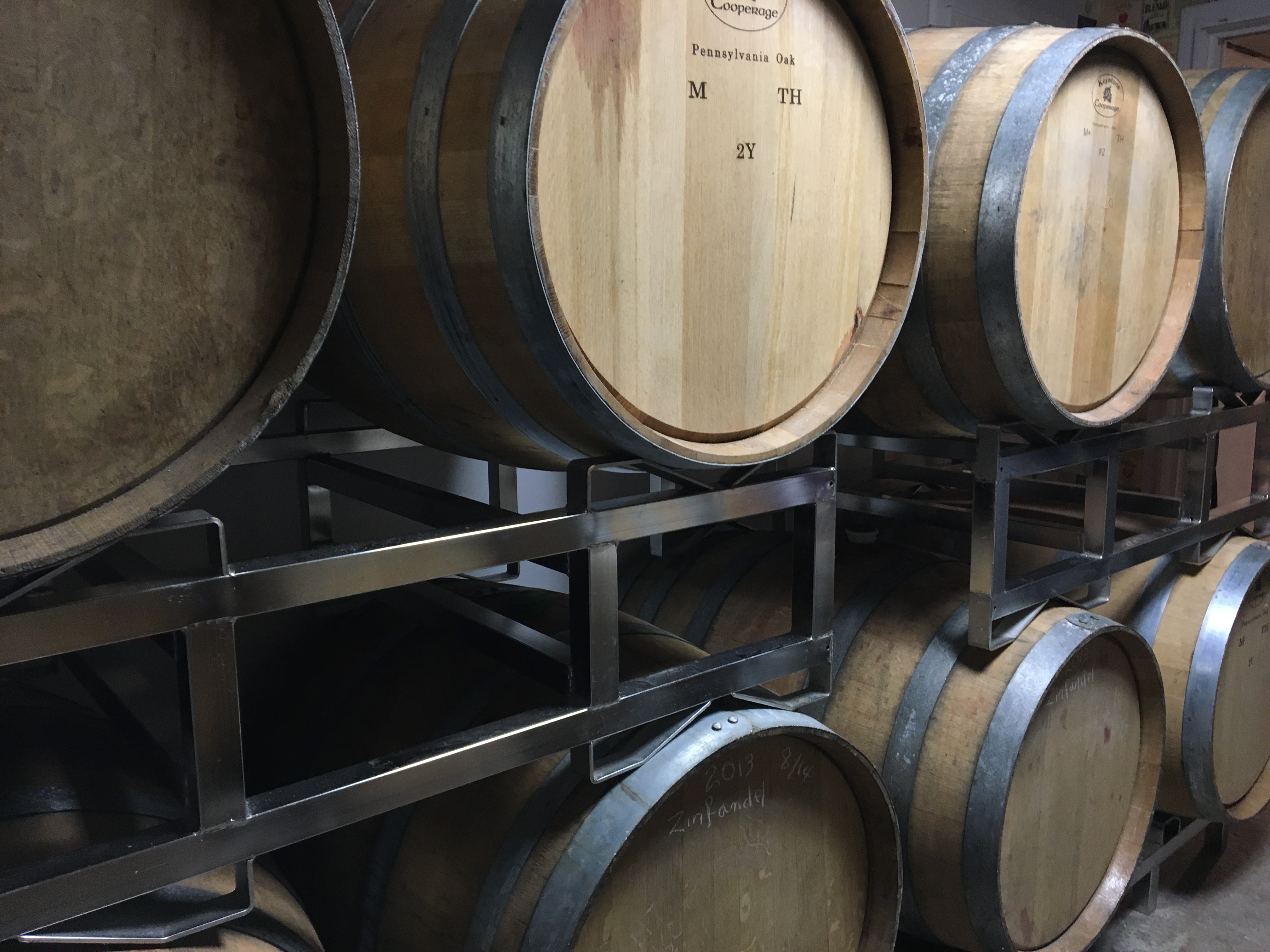
Fisher Ridge Winery

Fisher Ridge Winery

Fisher Ridge Winery

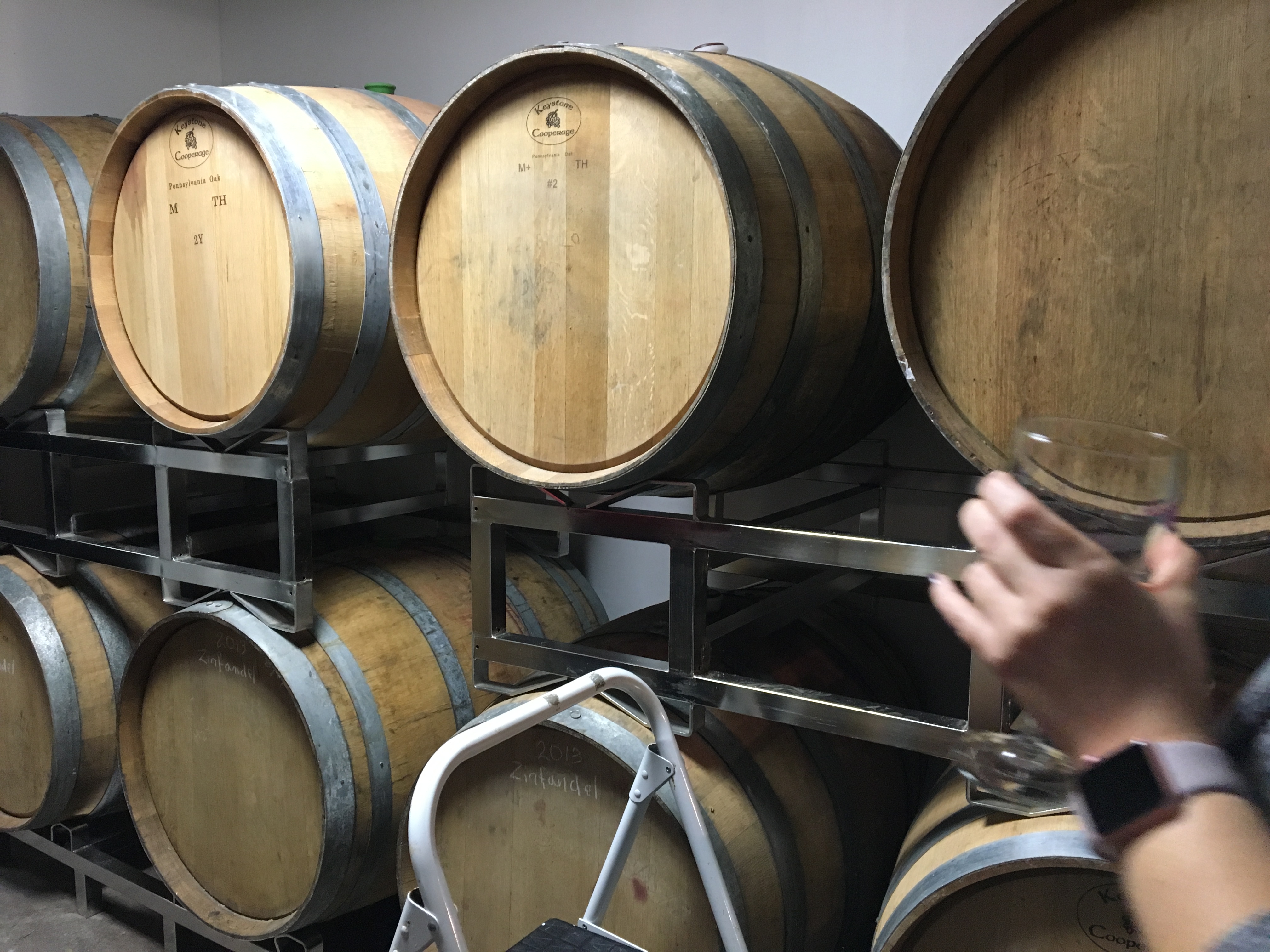
Fisher Ridge Winery
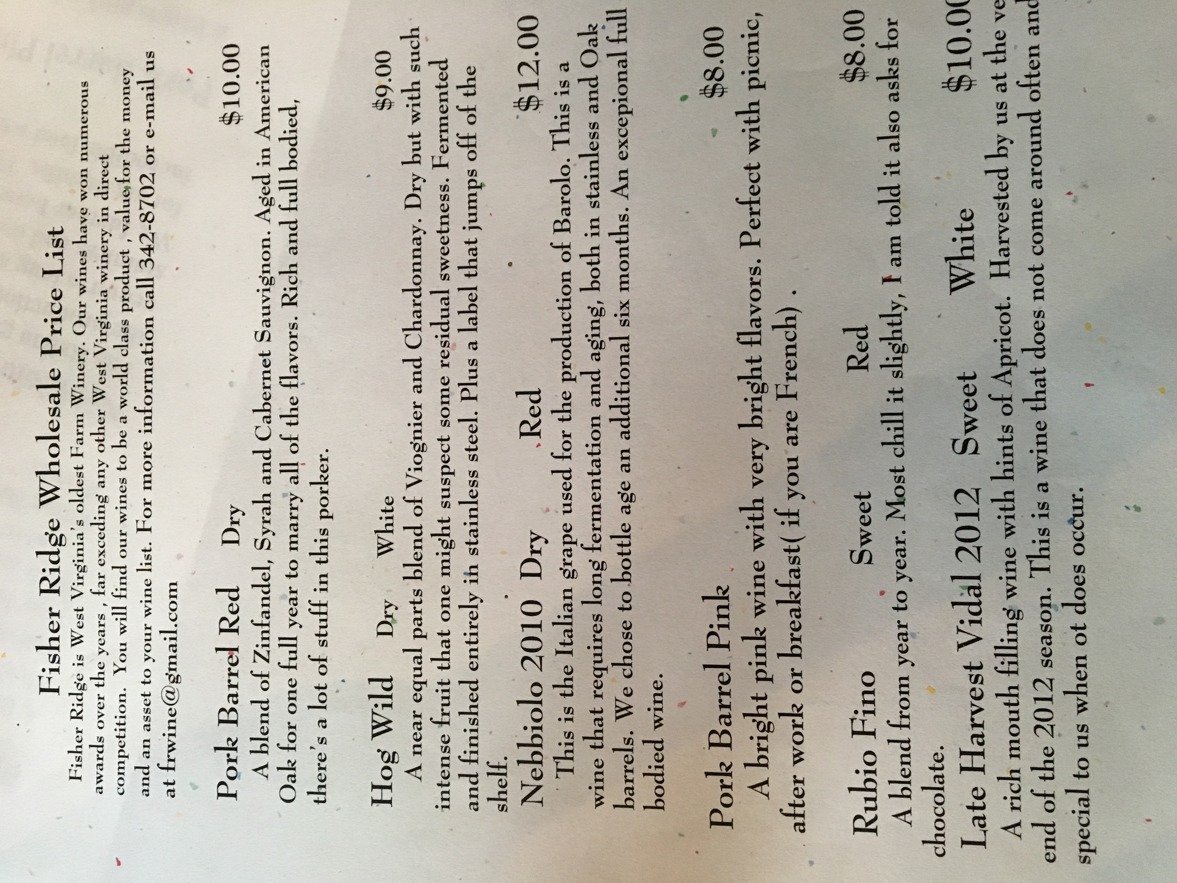
Fisher Ridge Winery
Fisher Ridge Winery

Fisher Ridge Winery
Fisher Ridge Winery
Fisher Ridge Winery

Fisher Ridge Winery

Road snacks. For the record these were tasty. Although prior to opening the bag and tasting them I was pretty sure they were going to be disgusting.
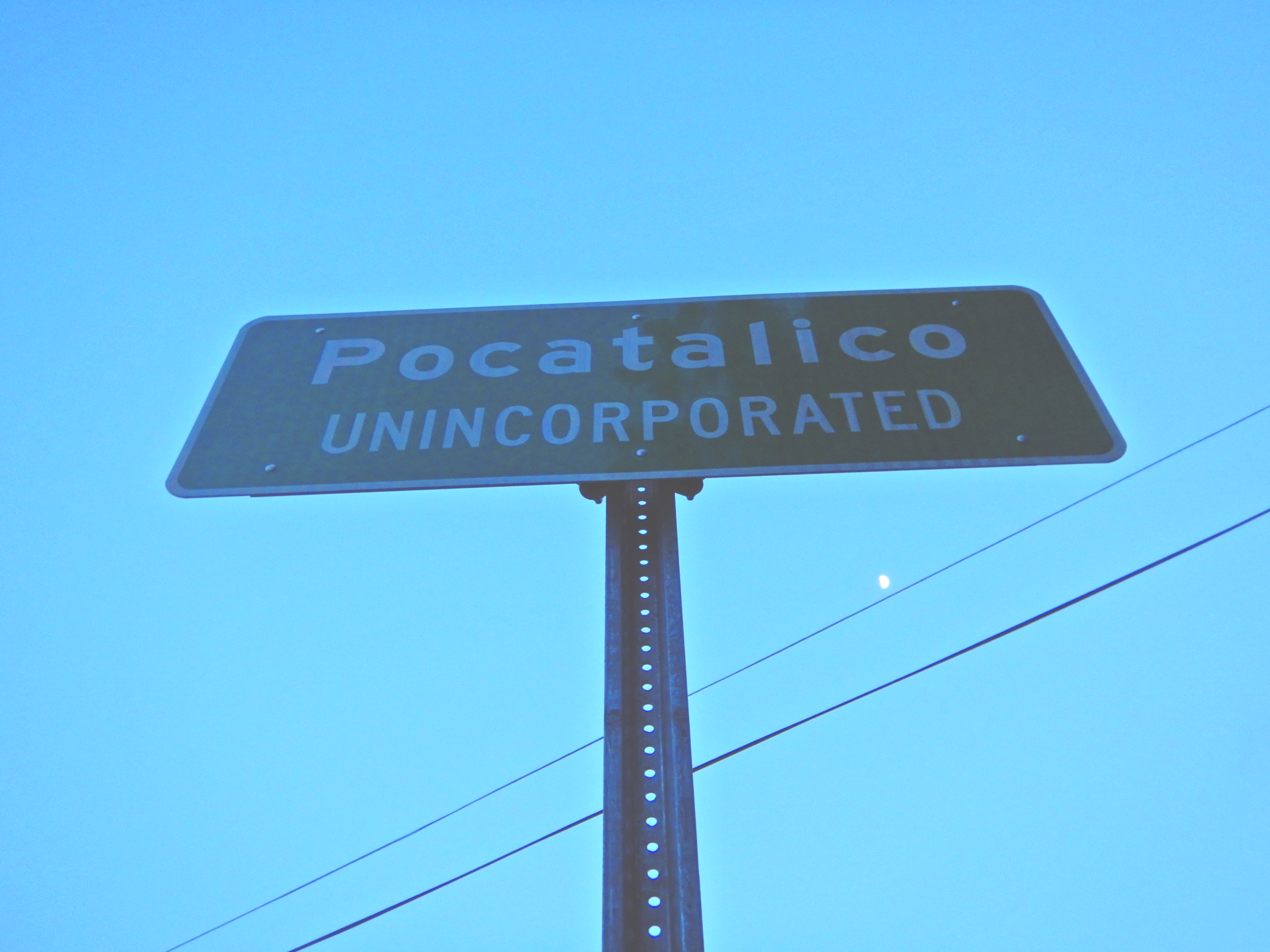
signage – Pocatalico, W.V.
Kanawha County, West Virginia
Kanawha County, West Virginia
Kanawha County, West Virginia
Kanawha County, West Virginia
Topographic Map of Romie Hill Rd, Kenna, WV, USA
Find elevation by address:

Places near Romie Hill Rd, Kenna, WV, USA:
2558 Fisher Ridge Rd
Romance
5965 Fisher Ridge Rd
15 John's Ln, Kenna, WV, USA
Haines Branch Road
Sissonville
Grapevine Road
Liberty
5448 Fisher Ridge Rd
Liberty, WV, USA
866 Derricks Utah Rd
147 Cemetery Rd
Kellys Creek Road
2488 Mount Etna Rd
2488 Mount Etna Rd
Mount Etna Road
Harmons Creek Rd, Poca, WV, USA
Pocatalico
West Virginia 34
Buffalo-union
Recent Searches:
- Elevation of Corso Fratelli Cairoli, 35, Macerata MC, Italy
- Elevation of Tallevast Rd, Sarasota, FL, USA
- Elevation of 4th St E, Sonoma, CA, USA
- Elevation of Black Hollow Rd, Pennsdale, PA, USA
- Elevation of Oakland Ave, Williamsport, PA, USA
- Elevation of Pedrógão Grande, Portugal
- Elevation of Klee Dr, Martinsburg, WV, USA
- Elevation of Via Roma, Pieranica CR, Italy
- Elevation of Tavkvetili Mountain, Georgia
- Elevation of Hartfords Bluff Cir, Mt Pleasant, SC, USA