Elevation of Rohri, Sukkur, Sindh, Pakistan
Location: Pakistan > Sindh > Sukkur >
Longitude: 68.9539593
Latitude: 27.622167
Elevation: 69m / 226feet
Barometric Pressure: 100KPa
Elevation Map:
Satellite Map:
Related Photos:

Island and shrine of Zind Pir, Sukkur Sindh, 1897
Aerial view

Fisherman's Prayer. (Winner of 2011 trainspotting Competition , Infrastructure )

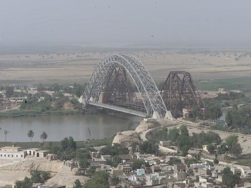
lansdowne bridge

Chase the Sunset... . . . . . . . . . #sunset #sindh #sukkur #frameinframe #frame #mood #vibrant #view #barrage #sukkur #wide #cinelife #cinematography #colorist #tone #sky #beauty #typography #phonograph #cinemagraph #life #instabeauty #mobilephoto #phot

Sukkur Indus River Lab e Mahran

Rohri Junction east view from plate form bridge.

Landmarks Of Arore: Muhammad Bin Qasim Mosque, Arore(HDR)

Landmarks Of Arore: Char Tukar Jabal

Sadh-belo temple

Landmarks Of Arore : Char Tukar Jabal

Landmarks Of Arore: Ancient Path Of The Indus

Going Down

Migratory Birds

Landmarks Of Arore: Char Tukar Jabal

Going Up

Satten-jo-Aastan
Topographic Map of Rohri, Sukkur, Sindh, Pakistan
Find elevation by address:

Places in Rohri, Sukkur, Sindh, Pakistan:
Places near Rohri, Sukkur, Sindh, Pakistan:
Sukkur
Kadanwari Airport
Chuchra
Panhyar Village
Ghotki
Ghotki
Khairpur
Nara
Nao-kot
Daharki
6 Colony Rd
Engro Chemical Colony
Engro Colony
Daharki
Recent Searches:
- Elevation of Corso Fratelli Cairoli, 35, Macerata MC, Italy
- Elevation of Tallevast Rd, Sarasota, FL, USA
- Elevation of 4th St E, Sonoma, CA, USA
- Elevation of Black Hollow Rd, Pennsdale, PA, USA
- Elevation of Oakland Ave, Williamsport, PA, USA
- Elevation of Pedrógão Grande, Portugal
- Elevation of Klee Dr, Martinsburg, WV, USA
- Elevation of Via Roma, Pieranica CR, Italy
- Elevation of Tavkvetili Mountain, Georgia
- Elevation of Hartfords Bluff Cir, Mt Pleasant, SC, USA