Elevation of Rogerson, ID, USA
Location: United States > Idaho > Twin Falls County >
Longitude: -114.59420
Latitude: 42.2179662
Elevation: 1492m / 4895feet
Barometric Pressure: 85KPa
Elevation Map:
Satellite Map:
Related Photos:


Why?
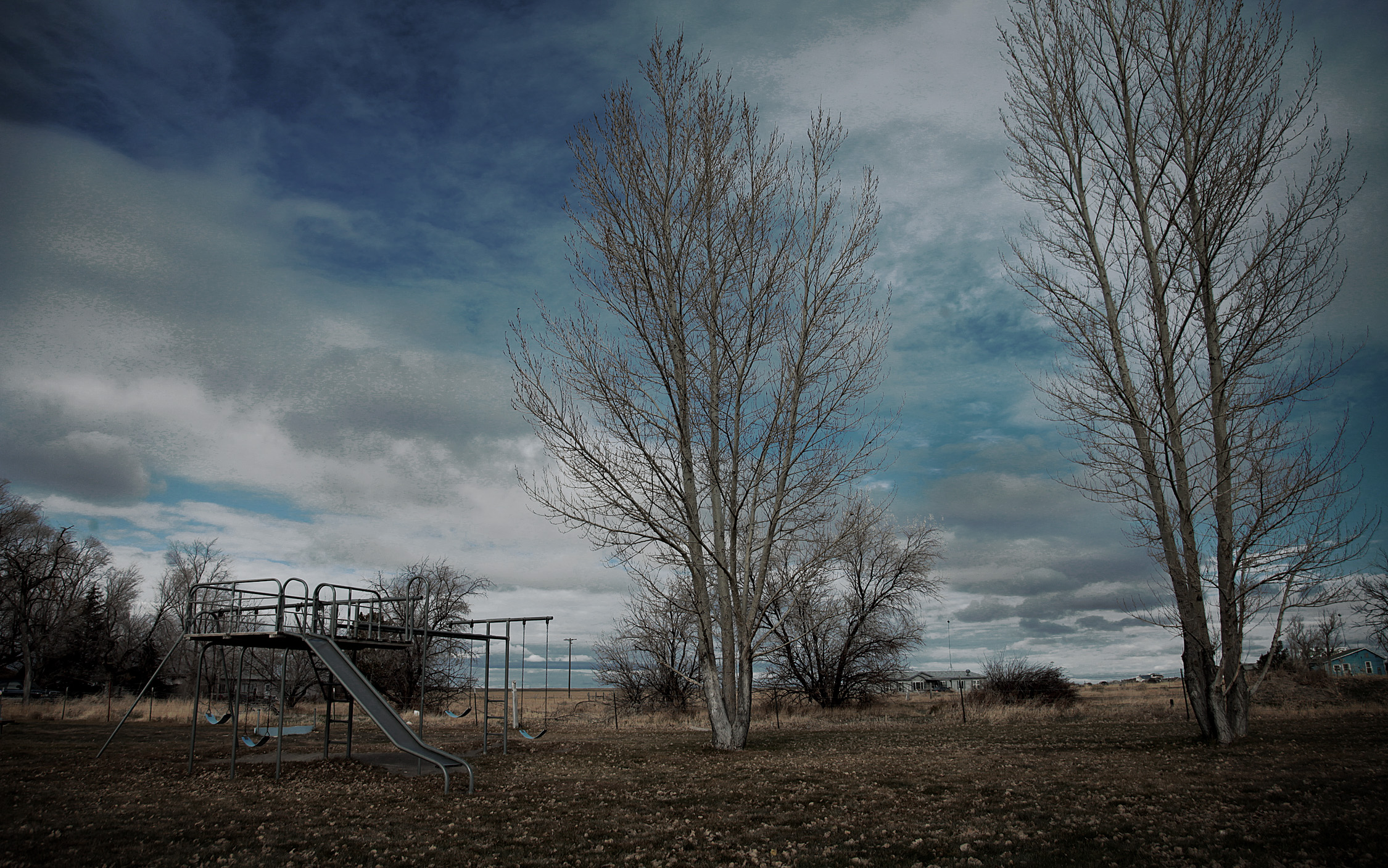
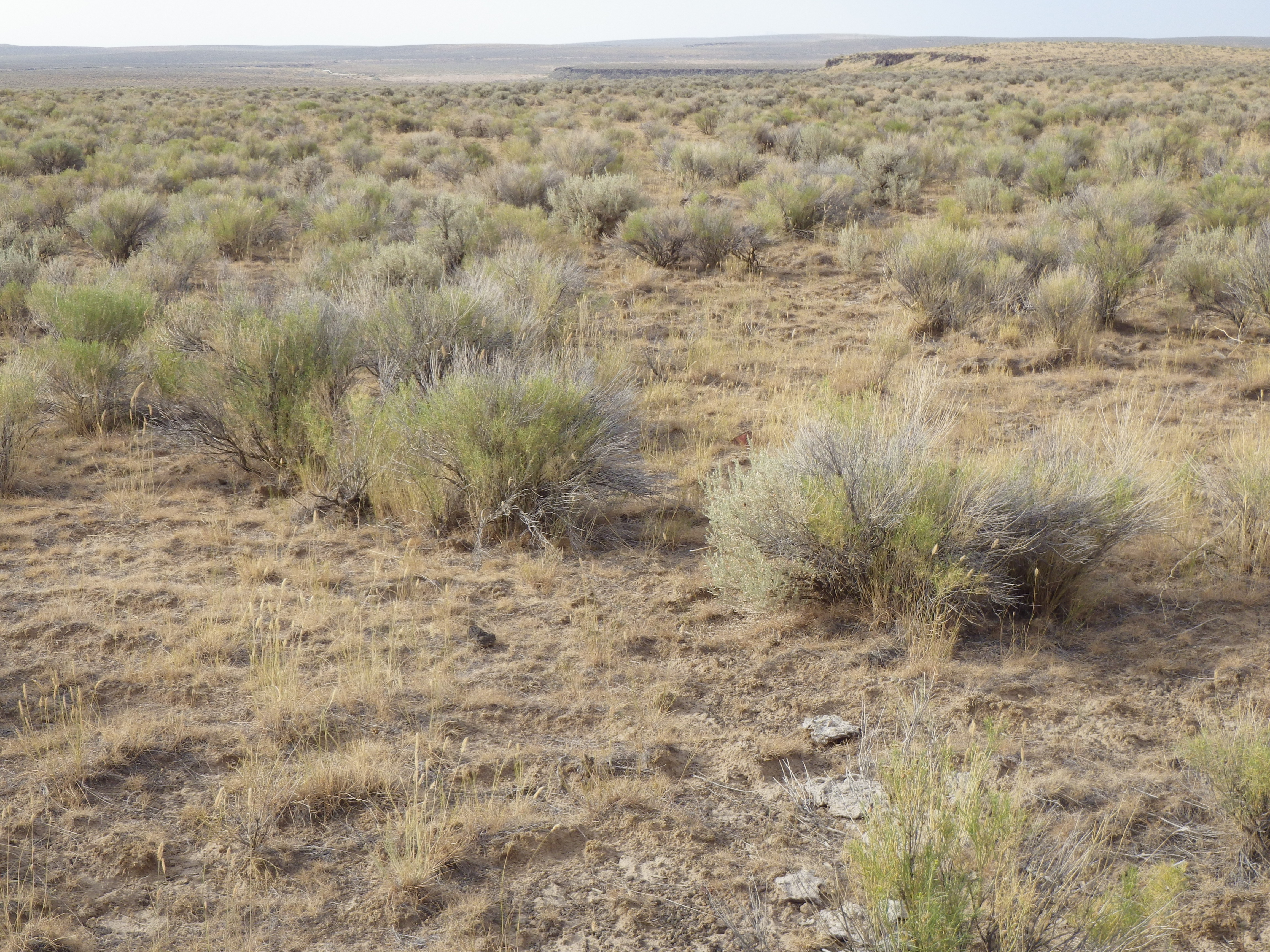
Bromus tectorum habitat
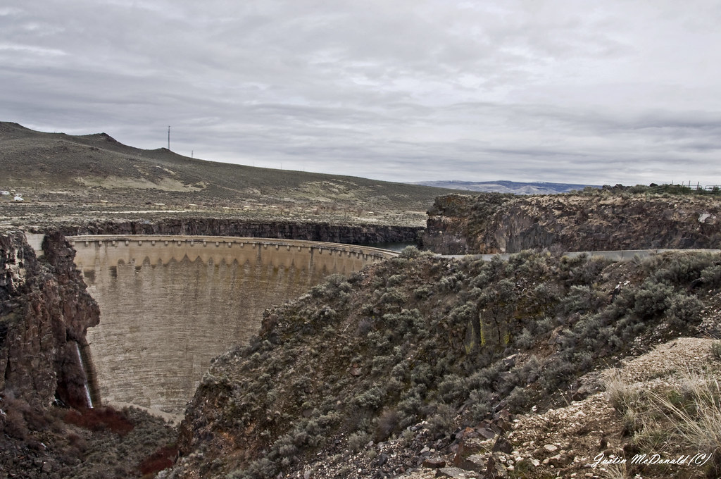
Salmon Falls Dam,
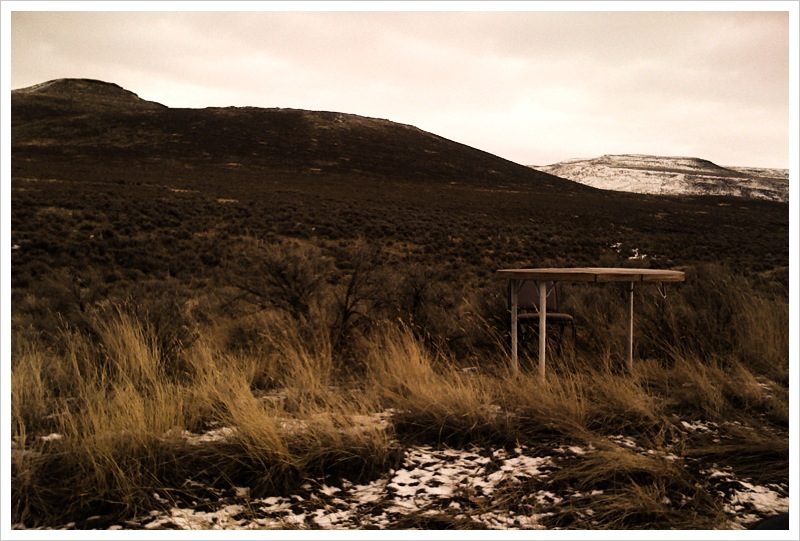
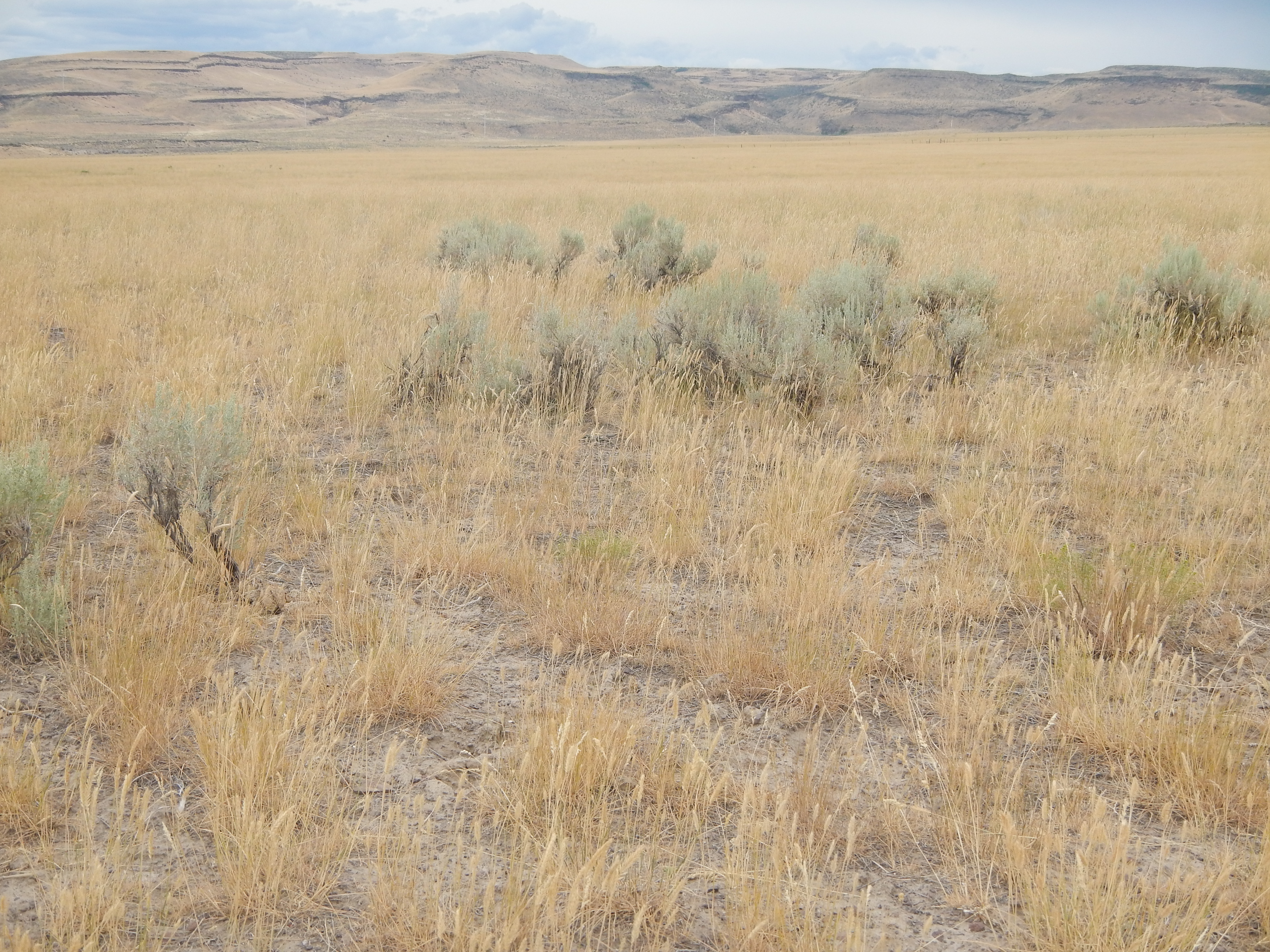
Agropyron cristatum dominates Bromus tectorum habitat
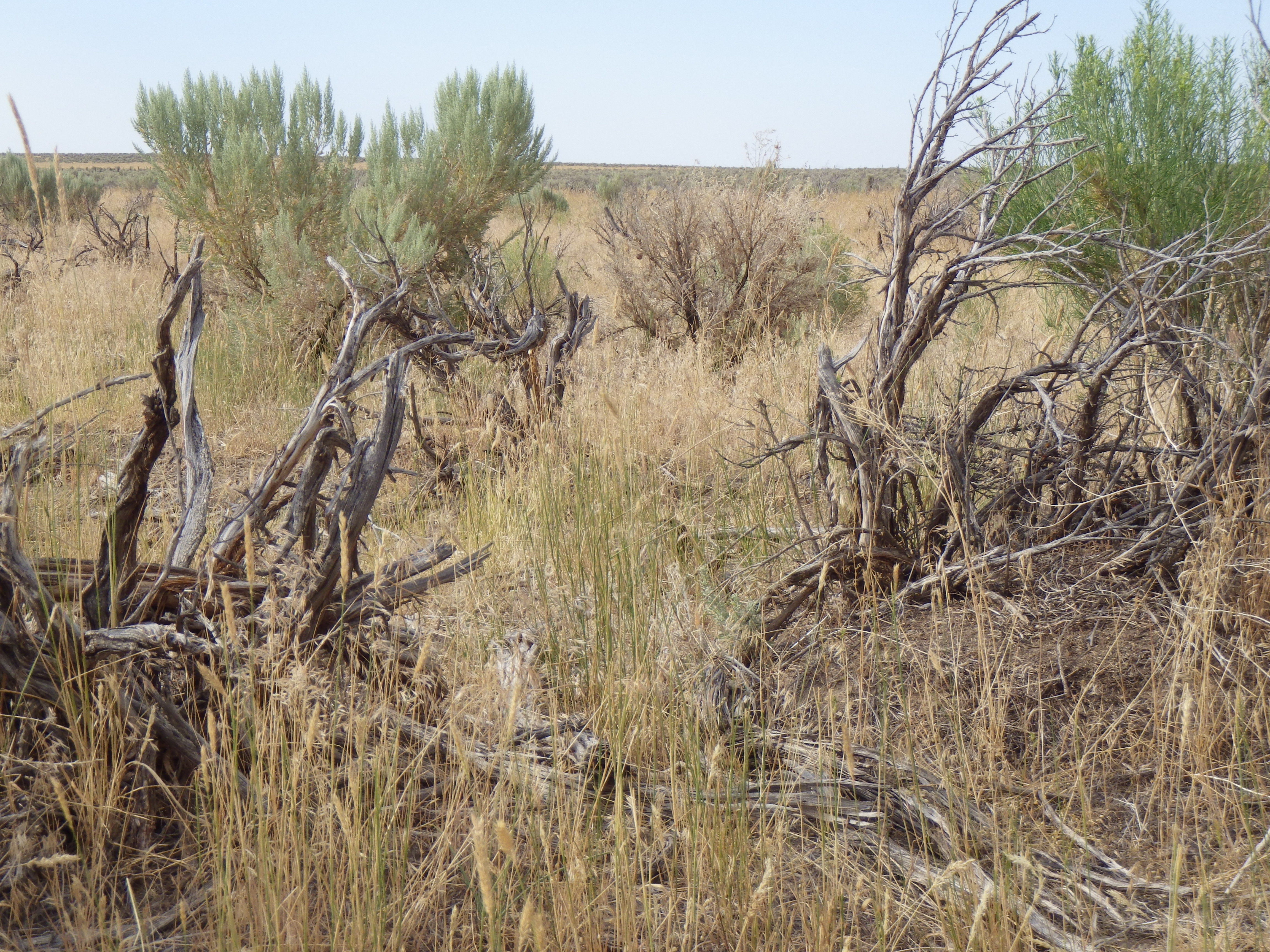
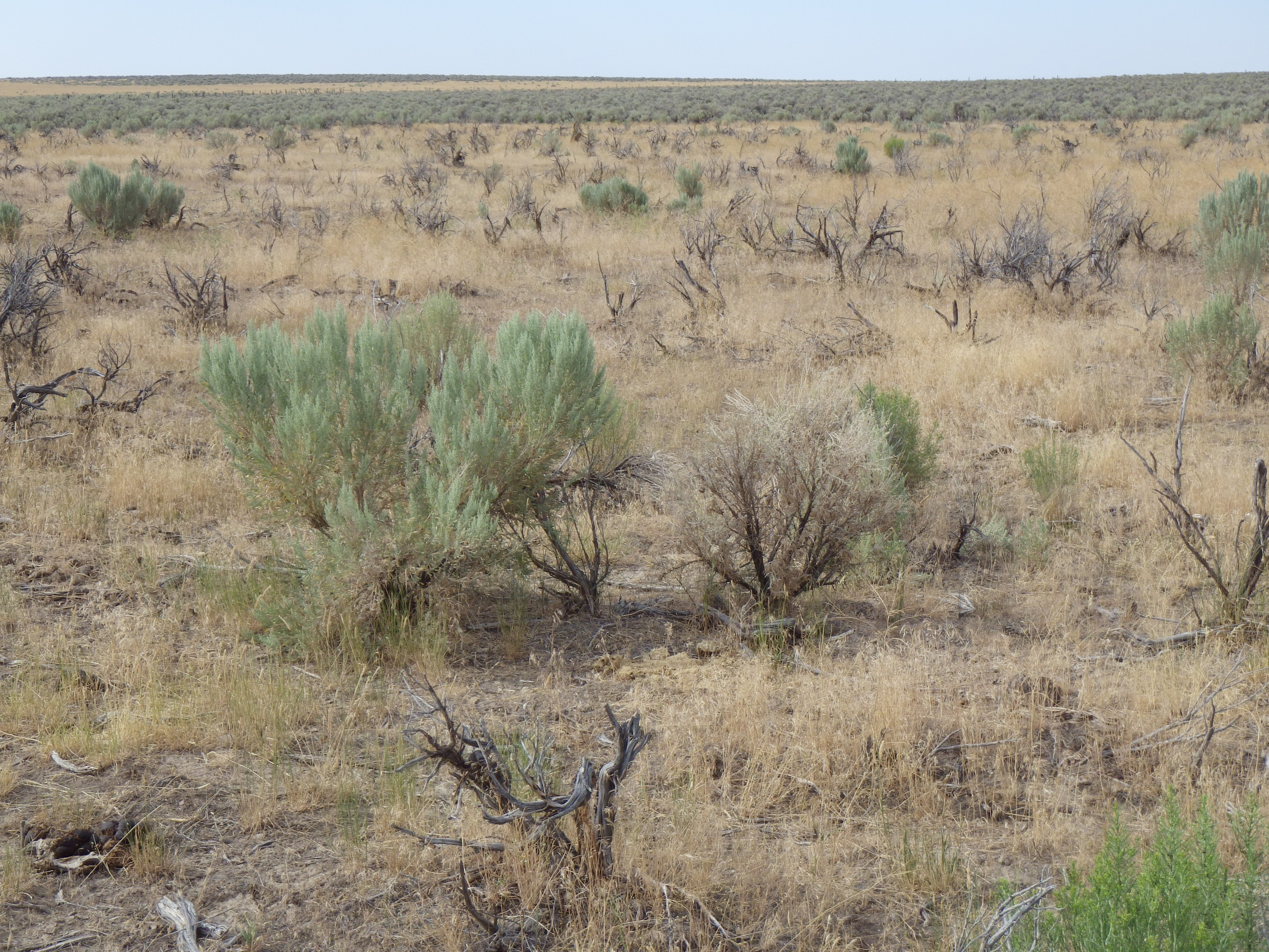
Bromus tectorum south of Twin Falls
Bromus tectorum habitat

Into Idaho
Topographic Map of Rogerson, ID, USA
Find elevation by address:

Places in Rogerson, ID, USA:
Places near Rogerson, ID, USA:
2316 Main St
US-93, Hollister, ID, USA
Hollister
Salmon Falls Dam
Twin Falls County
Twin Falls, ID, USA
2480 E 2900 N
N E Rd, Twin Falls, ID, USA
Magic Mountain Ski Resort
3265 E 3500 N
804 Golden Spur Dr
Main St, Buhl, ID, USA
Filer
300 Morrison St
N E, Hansen, ID, USA
1819 Kimberly Rd
N E, Filer, ID, USA
Hankins Rd, Twin Falls, ID, USA
Twin Falls
3337 N 3800 E
Recent Searches:
- Elevation of Corso Fratelli Cairoli, 35, Macerata MC, Italy
- Elevation of Tallevast Rd, Sarasota, FL, USA
- Elevation of 4th St E, Sonoma, CA, USA
- Elevation of Black Hollow Rd, Pennsdale, PA, USA
- Elevation of Oakland Ave, Williamsport, PA, USA
- Elevation of Pedrógão Grande, Portugal
- Elevation of Klee Dr, Martinsburg, WV, USA
- Elevation of Via Roma, Pieranica CR, Italy
- Elevation of Tavkvetili Mountain, Georgia
- Elevation of Hartfords Bluff Cir, Mt Pleasant, SC, USA