Elevation of Rogers A Rd, St Amant, LA, USA
Location: United States > Louisiana > Ascension Parish > > Saint Amant >
Longitude: -90.795746
Latitude: 30.2182191
Elevation: 1m / 3feet
Barometric Pressure: 101KPa
Elevation Map:
Satellite Map:
Related Photos:
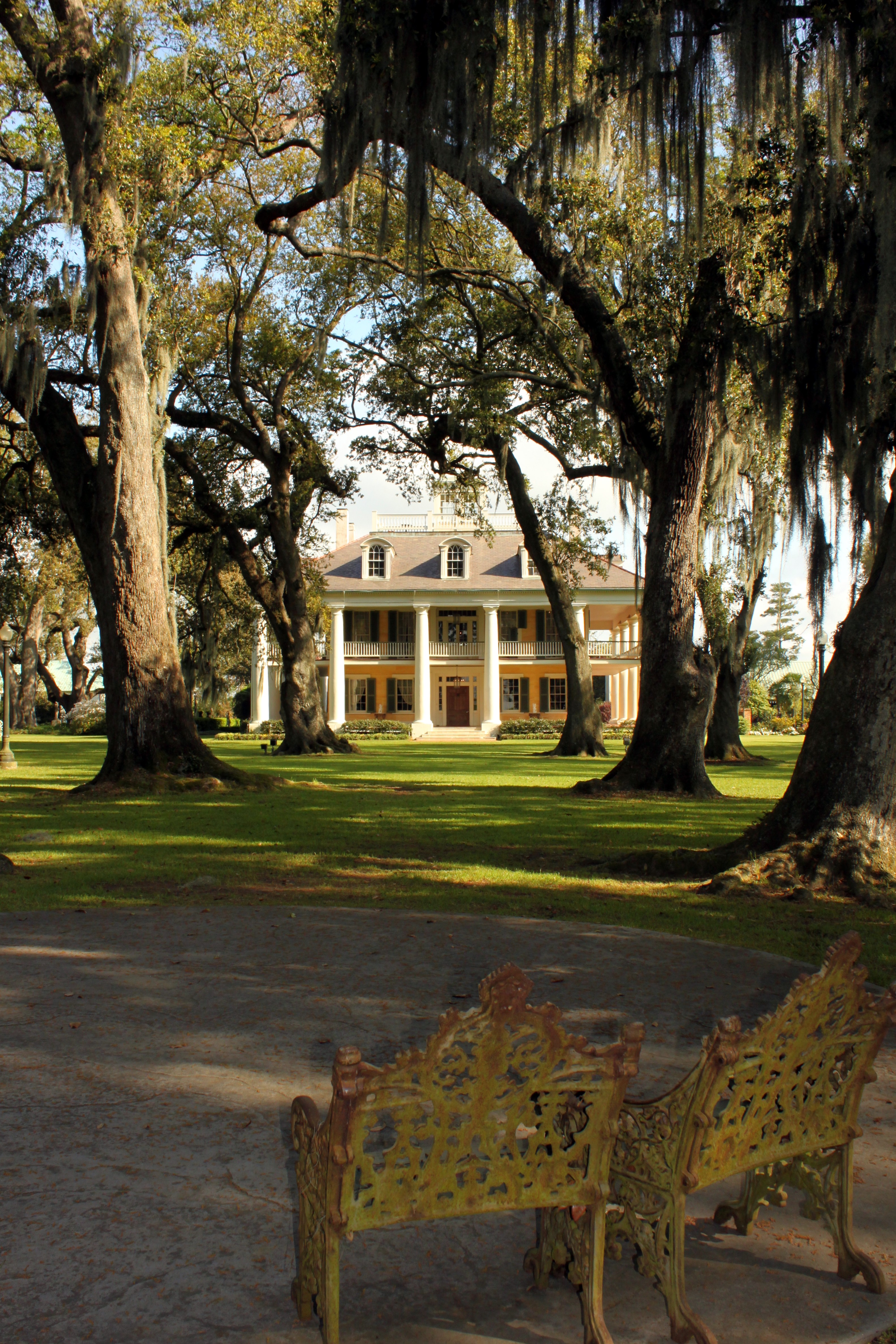
Houmas House
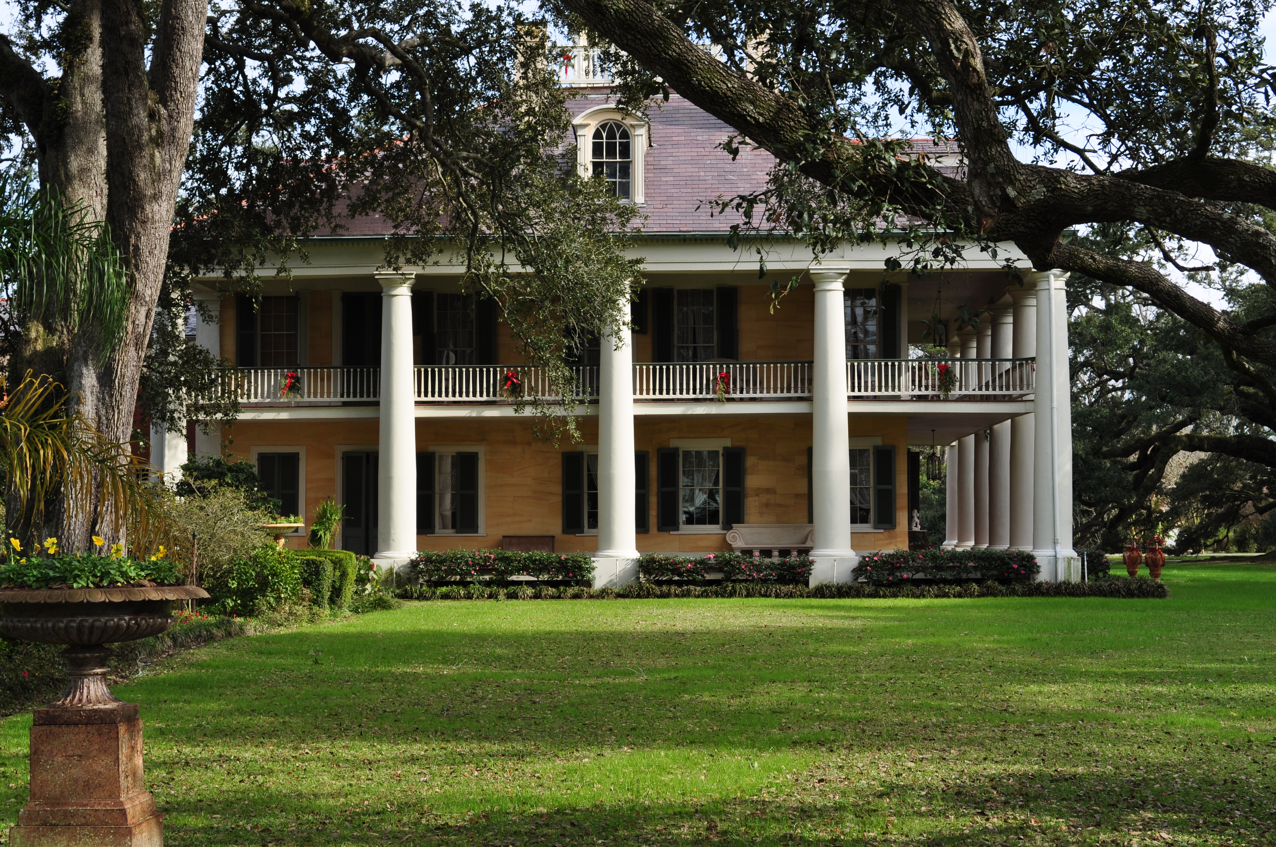
Houmas House Side View

I Know You're Out There...Somewhere
Houmas House Plantation - Main House - 2nd Floor Balcony View (2)

Houmas House Plantation - Main House - 2nd Floor Balcony View

side view of houmas house
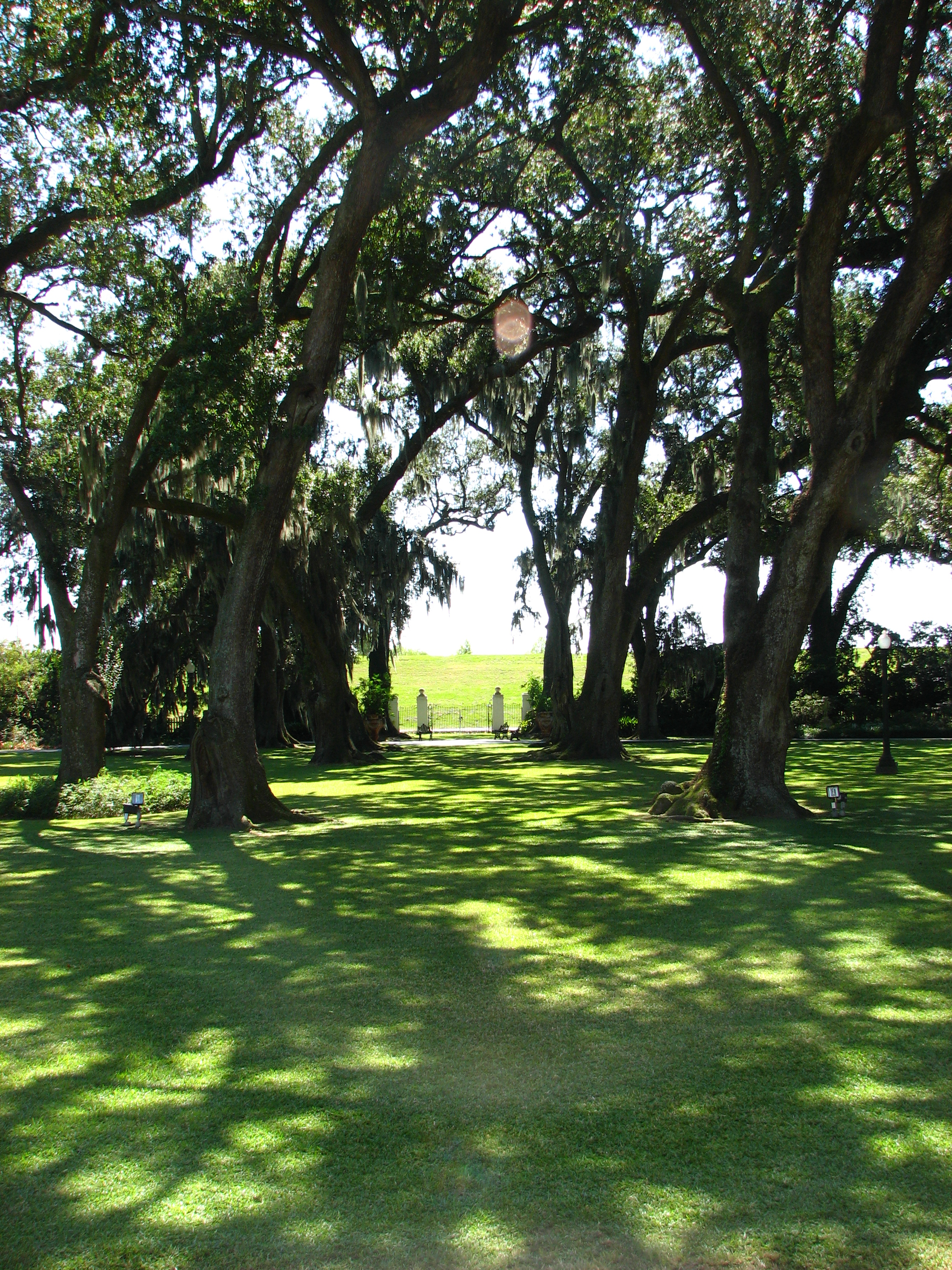
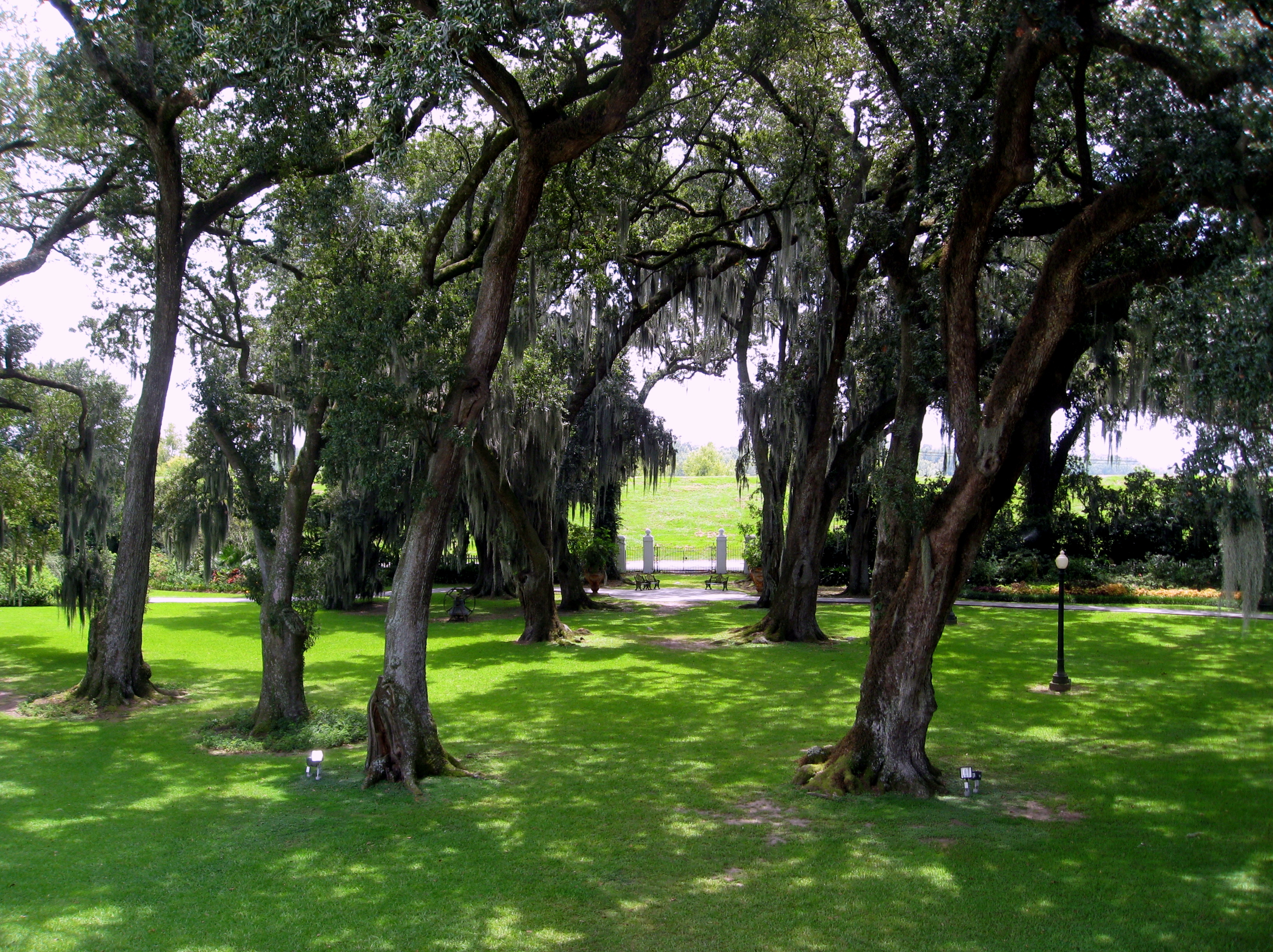
front view from houmas house with live oak trees
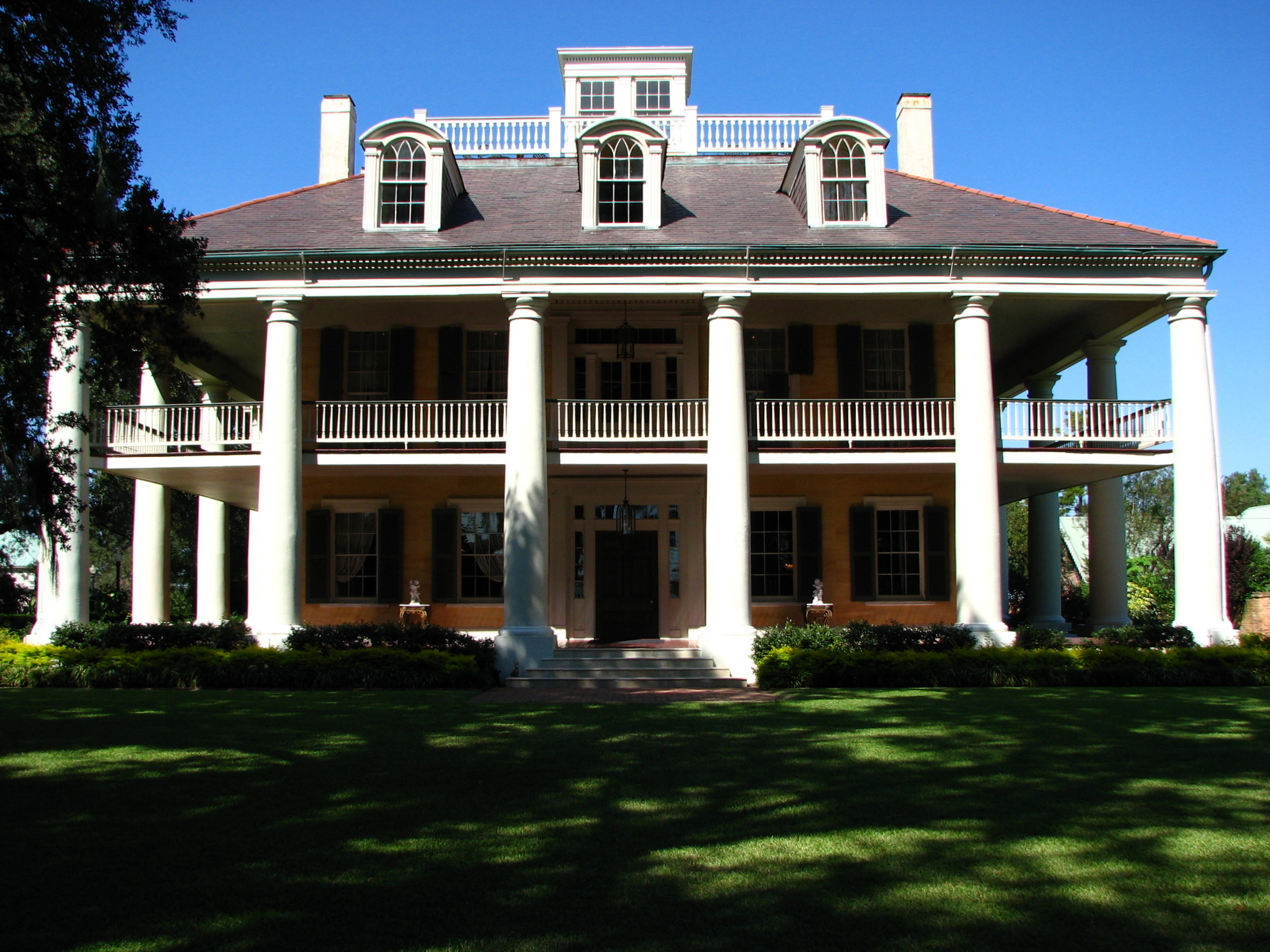
houmas house - front view

Houmas House (Other) Side View
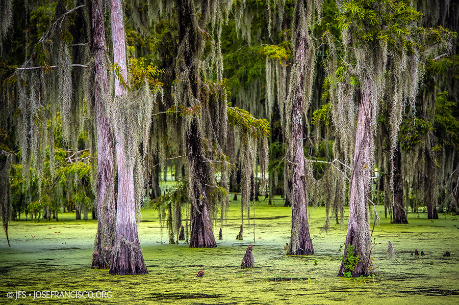
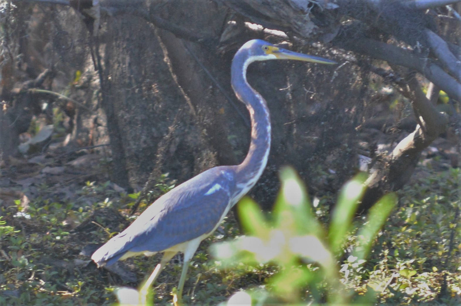
Maurepas Swamp [6506]

Sugar Cane
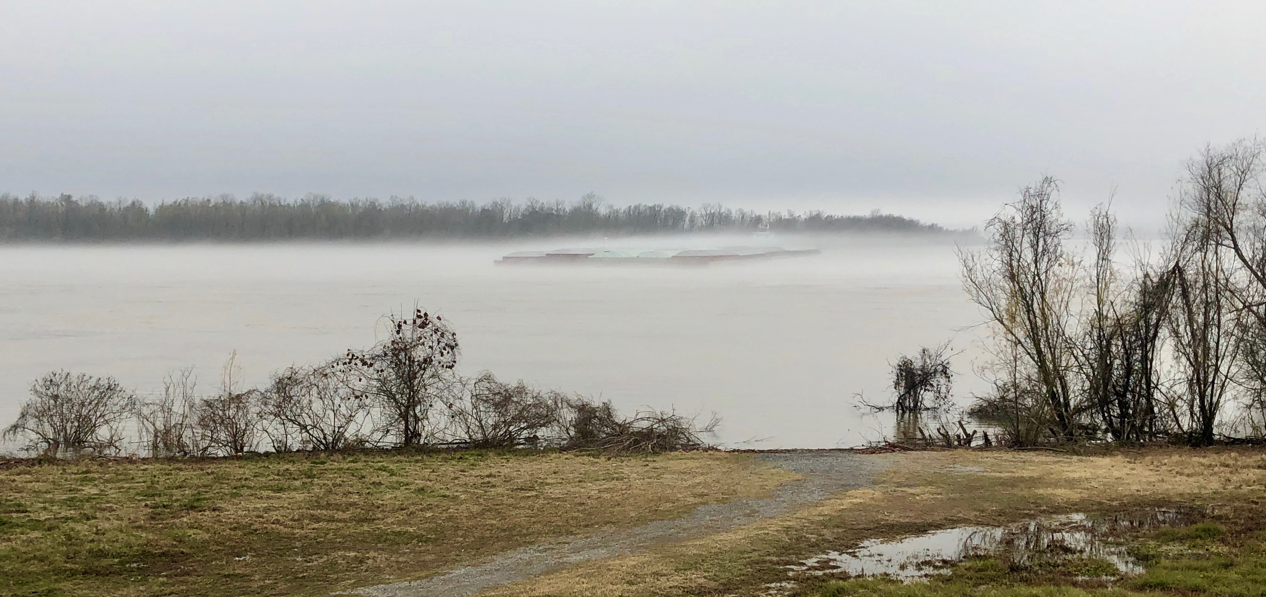
Mississippi River, Darrow, LA
Head of Island [6332]

Tezcuco Plantation Remains, Darrow, LA.
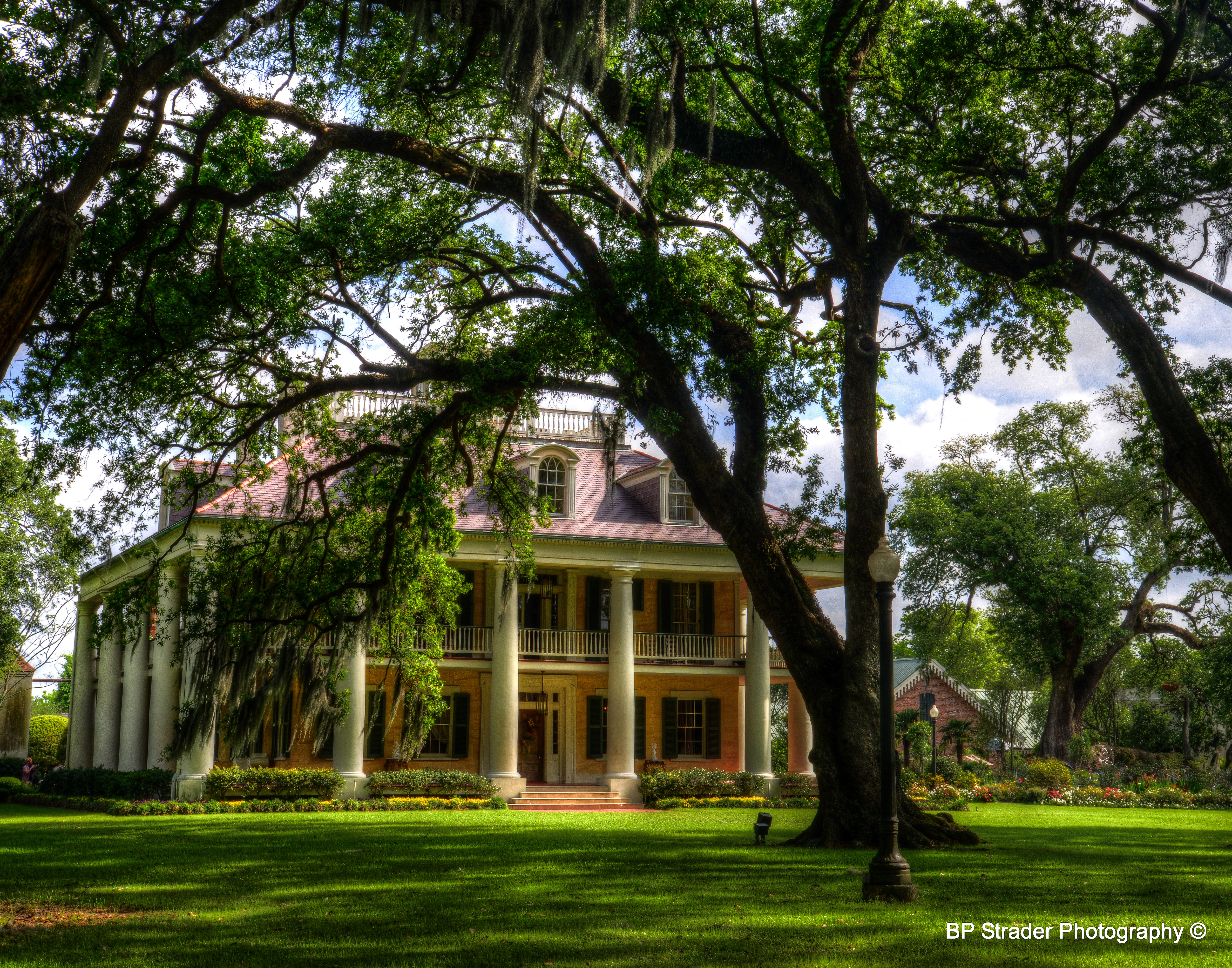
Houmas House, Burnside, LA
Head of Island [6262]

a DSC_0034
IMG_5754 (329 / 472)
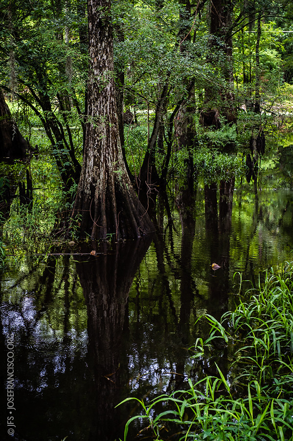
Bayou Swamp

Houmas House Plantation

French Settlement Swamp
Houmas House (6 of 30)

butterfly at houmas house
St. James Boat Club
Boyce Tower Rd., Maurepas Swamp WMA
WTP NW of Pelican Crossing
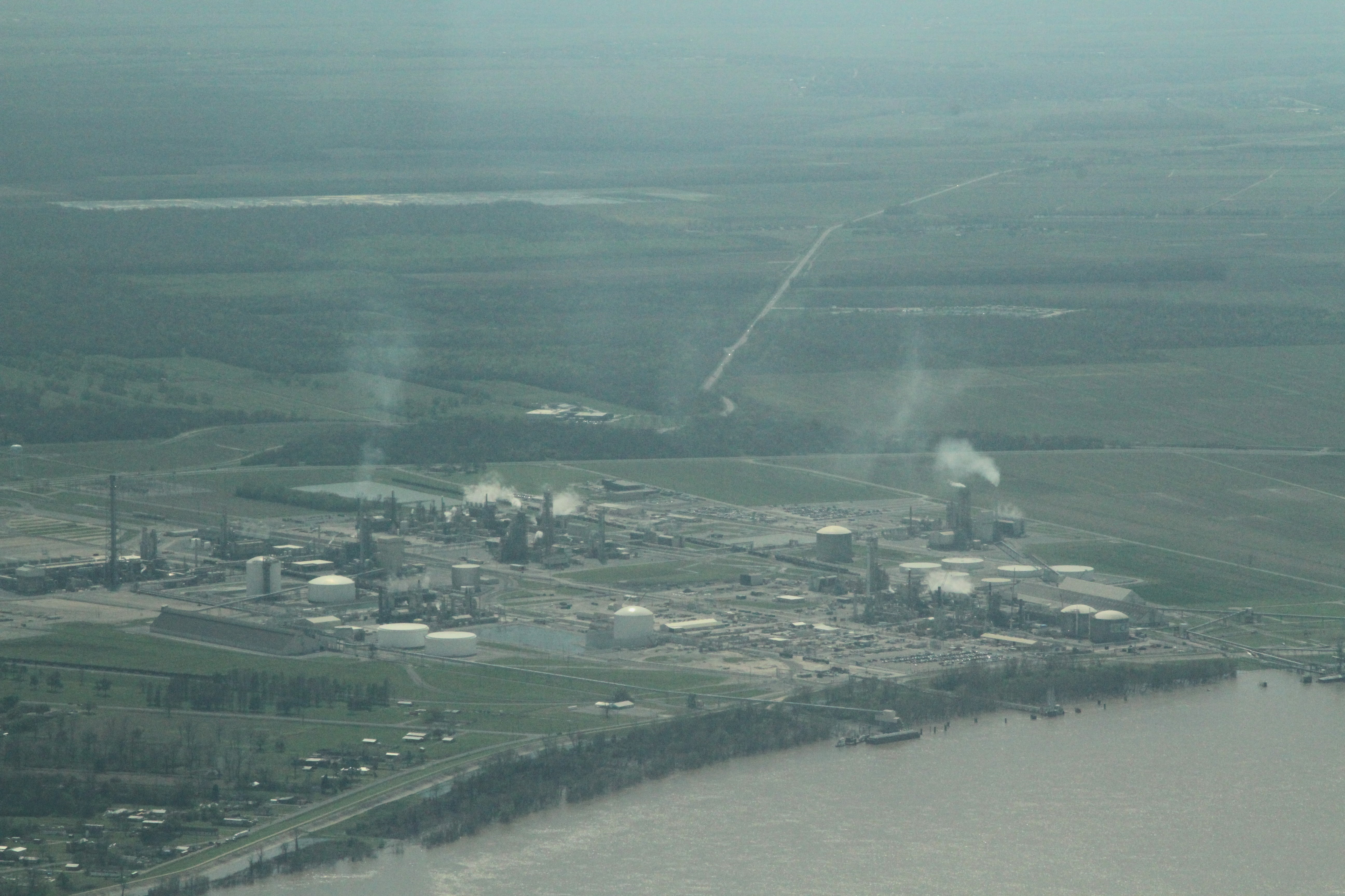
a IMG_3829 CF industries ammonia cancer alley

Houmas House Garden
a DSC_0062

Houmas House garden
Topographic Map of Rogers A Rd, St Amant, LA, USA
Find elevation by address:

Places near Rogers A Rd, St Amant, LA, USA:
9419 Rod Anderson Rd
St Amant, LA, USA
47121 La-937
LA-, St Amant, LA, USA
Bass Drive
Stringer Bridge Road
6, LA, USA
Texaco Rd, Sorrento, LA, USA
10468 Buxton Rd
Riverside Estates Drive
Buxton Road
45066 Riverside Estates Dr
10482 Savoy Rd
10514 Savoy Rd
10514 Savoy Rd
10486 Savoy Rd
10486 Savoy Rd
11234 George Lambert Rd
8251 Lee St
Sorrento
Recent Searches:
- Elevation of Corso Fratelli Cairoli, 35, Macerata MC, Italy
- Elevation of Tallevast Rd, Sarasota, FL, USA
- Elevation of 4th St E, Sonoma, CA, USA
- Elevation of Black Hollow Rd, Pennsdale, PA, USA
- Elevation of Oakland Ave, Williamsport, PA, USA
- Elevation of Pedrógão Grande, Portugal
- Elevation of Klee Dr, Martinsburg, WV, USA
- Elevation of Via Roma, Pieranica CR, Italy
- Elevation of Tavkvetili Mountain, Georgia
- Elevation of Hartfords Bluff Cir, Mt Pleasant, SC, USA