Elevation of Rodman, FL, USA
Location: United States > Florida > Putnam County >
Longitude: -81.756195
Latitude: 29.5383029
Elevation: 12m / 39feet
Barometric Pressure: 101KPa
Elevation Map:
Satellite Map:
Related Photos:
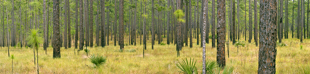
0178_PinePanCrop_15x60.jpg

Light Parade
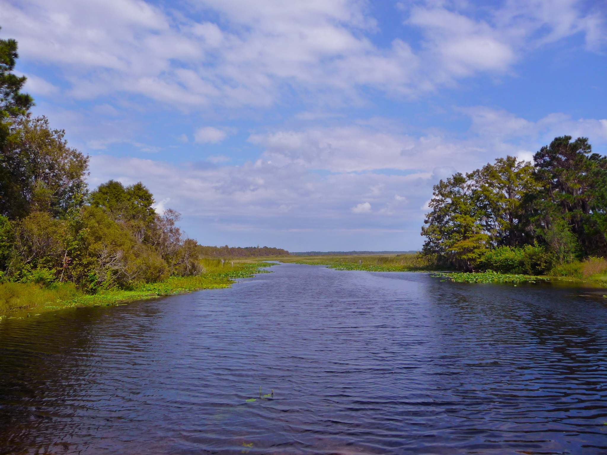
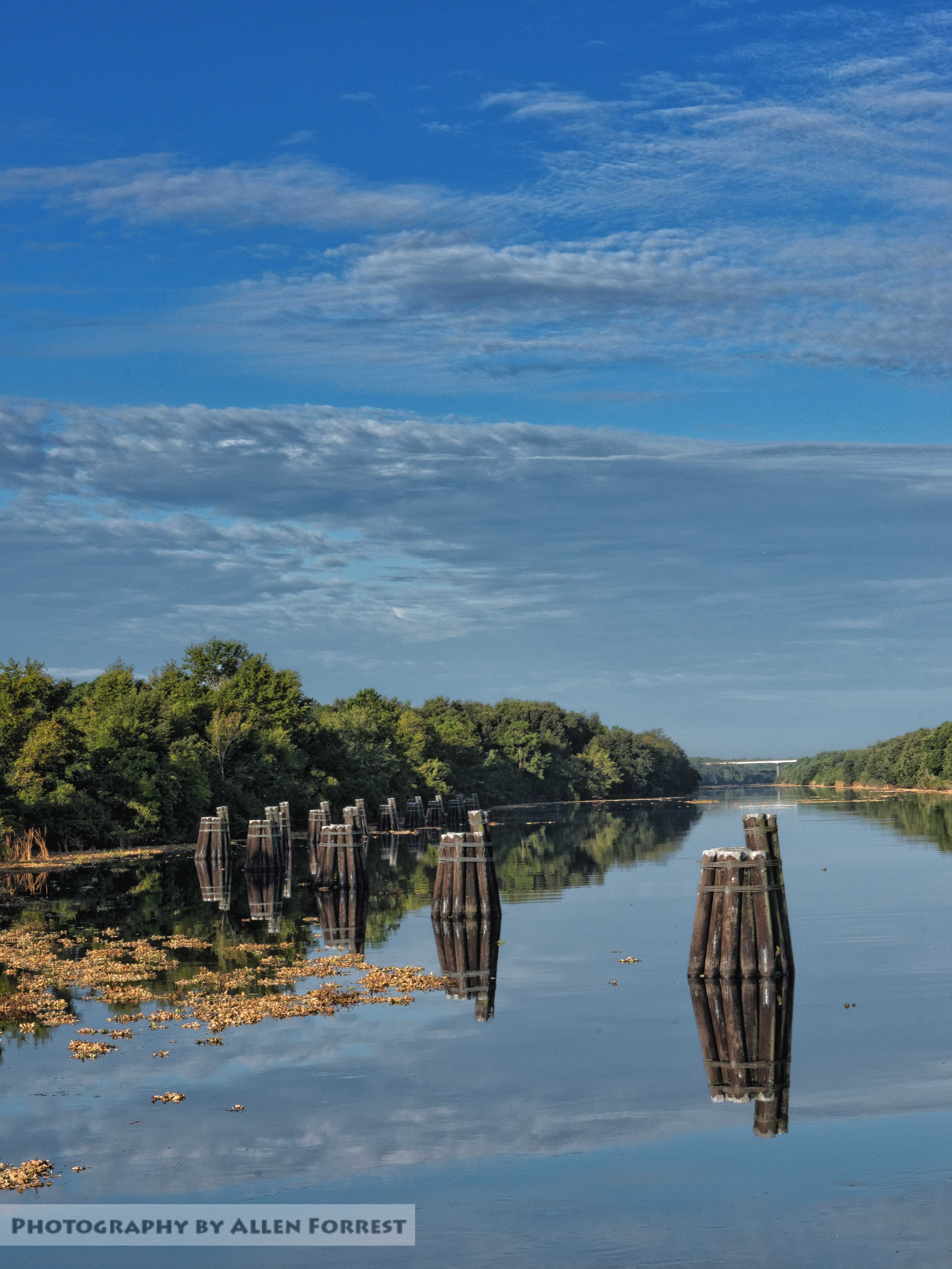
Lake Ocklawaha or Rodman Reservoir

Rhynchospora inundata (Narrow-fruit Horned Beaksedge)

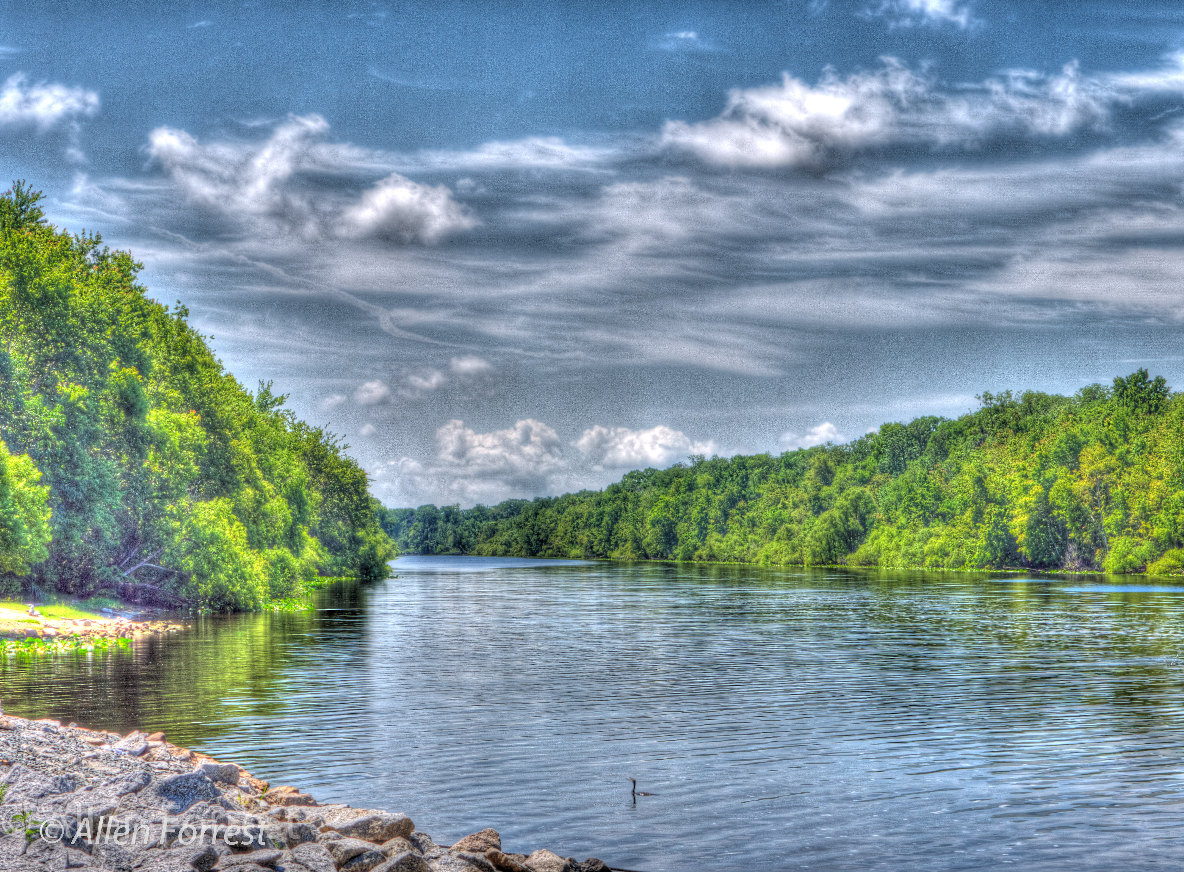
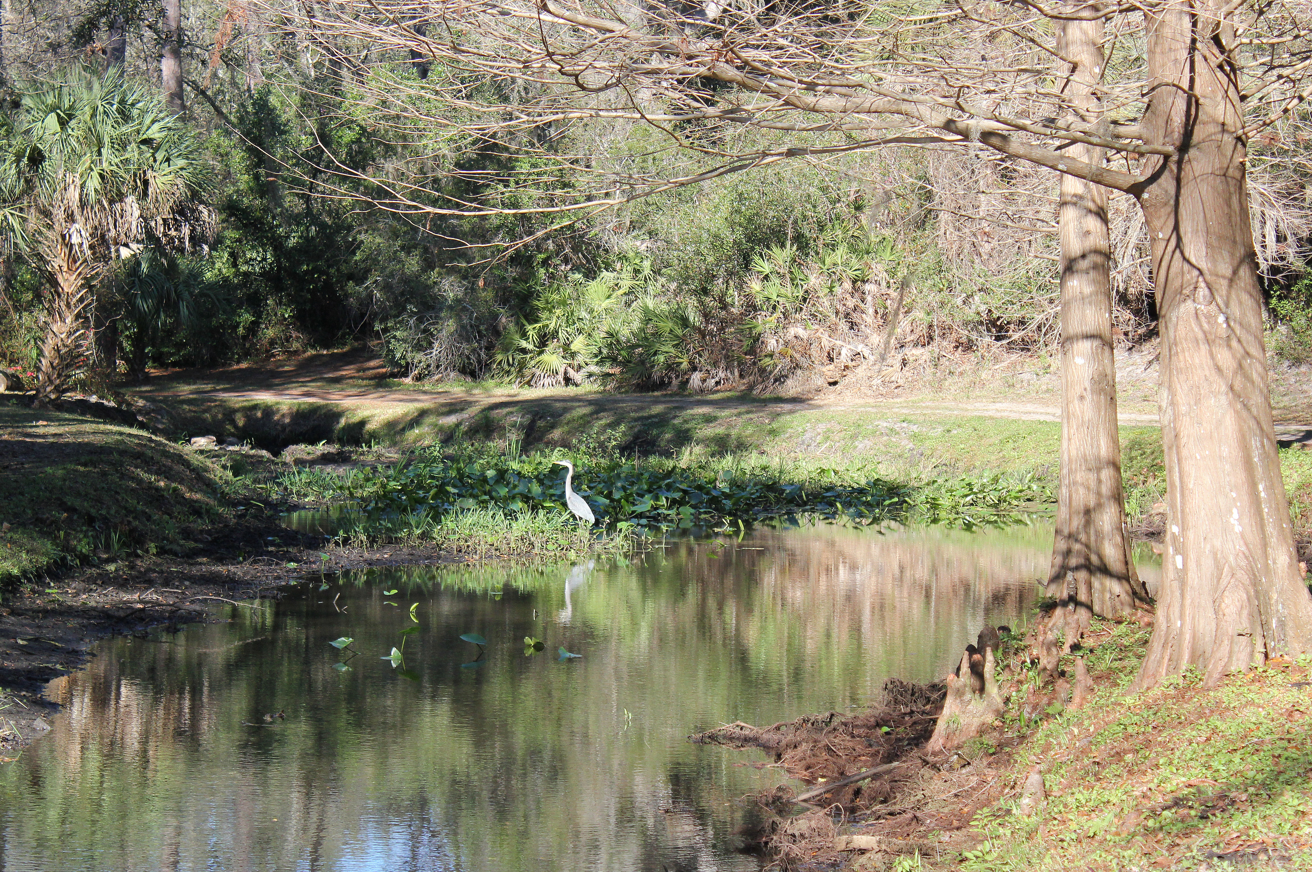
Rice Creek 1
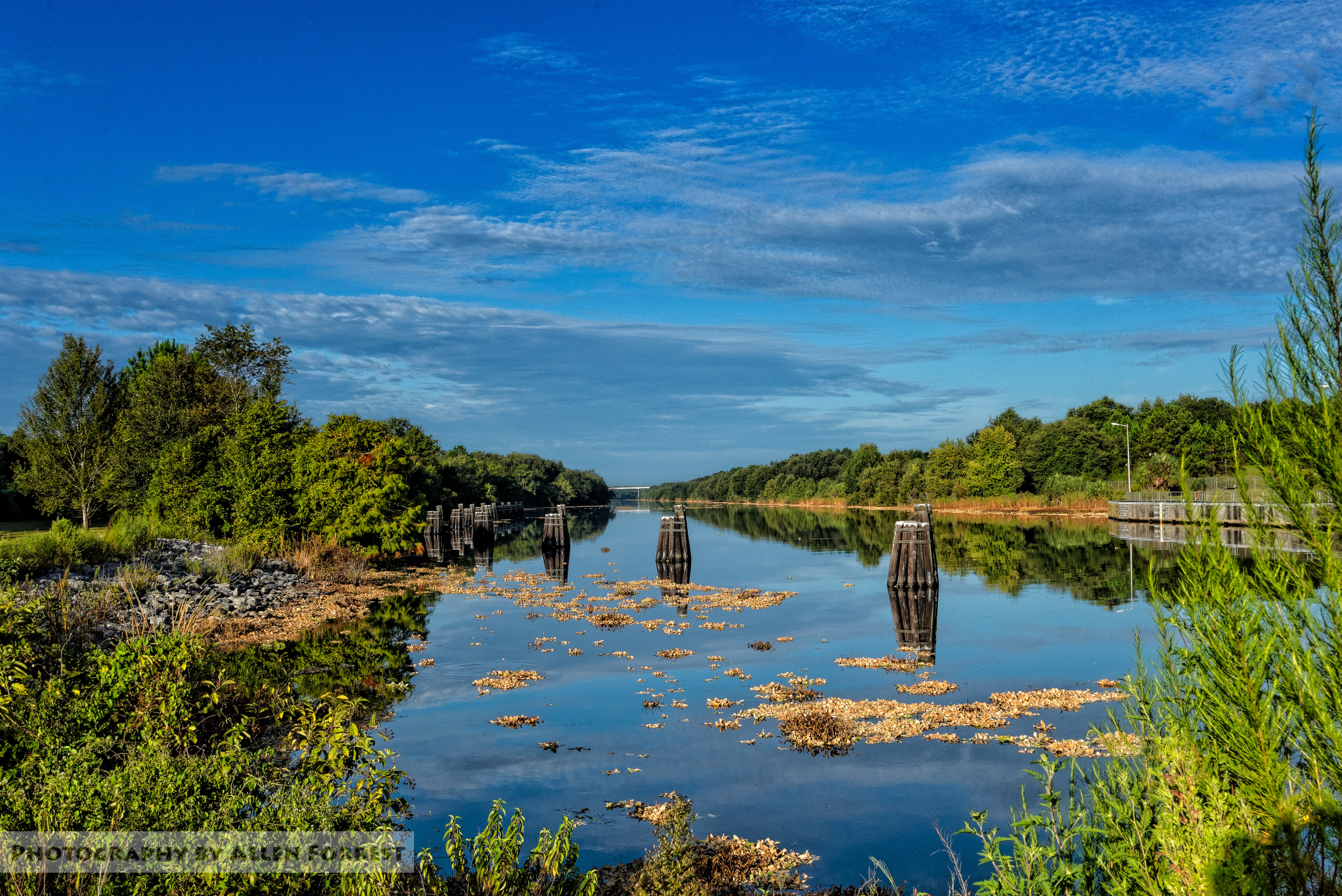
Cross Florida Barge Canal in Putnam County

Rodman Recreational Area 9 Dec 2014 13
P1000609.jpg

Rodman Dam
Marjorie Harris Carr Cross Florida Greenway

Florida paradise
Gates Ferry Burn 2

Lake Oklawaha RV Park 3 Dec 2014 4

Ravine Gardens State Park

Ravine Gardens State Park 13 Dec 2014 17

Lake Oklawaha RV Park 4 Dec 2014 31
Fuzzy Muckers
Ravine State Park 3-20-2011

Ravine Gardens State Park 13 Dec 2014 46

DSC_0991+a
Ravine Gardens State Park
Topographic Map of Rodman, FL, USA
Find elevation by address:

Places near Rodman, FL, USA:
23 FL-19, Palatka, FL, USA
520 Co Rd 310
115 Rodman Ln
Whitney St, Satsuma, FL, USA
176 E Marion St
Hunter Rd, Palatka, FL, USA
112 Canary Ln
405 3rd Ave
267 Hermit Dr
111 Sunset Ln
Putnam County
105 Osceola Pl
320 E Buffalo Bluff Rd
149 Pinelake Dr
138 E Buffalo Bluff Rd
223 Silver Lake Rd
Satsuma
Possum Walk Road
Litzell Road
147 Confederate Point Rd
Recent Searches:
- Elevation of Corso Fratelli Cairoli, 35, Macerata MC, Italy
- Elevation of Tallevast Rd, Sarasota, FL, USA
- Elevation of 4th St E, Sonoma, CA, USA
- Elevation of Black Hollow Rd, Pennsdale, PA, USA
- Elevation of Oakland Ave, Williamsport, PA, USA
- Elevation of Pedrógão Grande, Portugal
- Elevation of Klee Dr, Martinsburg, WV, USA
- Elevation of Via Roma, Pieranica CR, Italy
- Elevation of Tavkvetili Mountain, Georgia
- Elevation of Hartfords Bluff Cir, Mt Pleasant, SC, USA