Elevation of Rocky Rd, Horseshoe Bay, TX, USA
Location: United States > Texas > Burnet County > Marble Falls >
Longitude: -98.285558
Latitude: 30.5508223
Elevation: 288m / 945feet
Barometric Pressure: 98KPa
Elevation Map:
Satellite Map:
Related Photos:
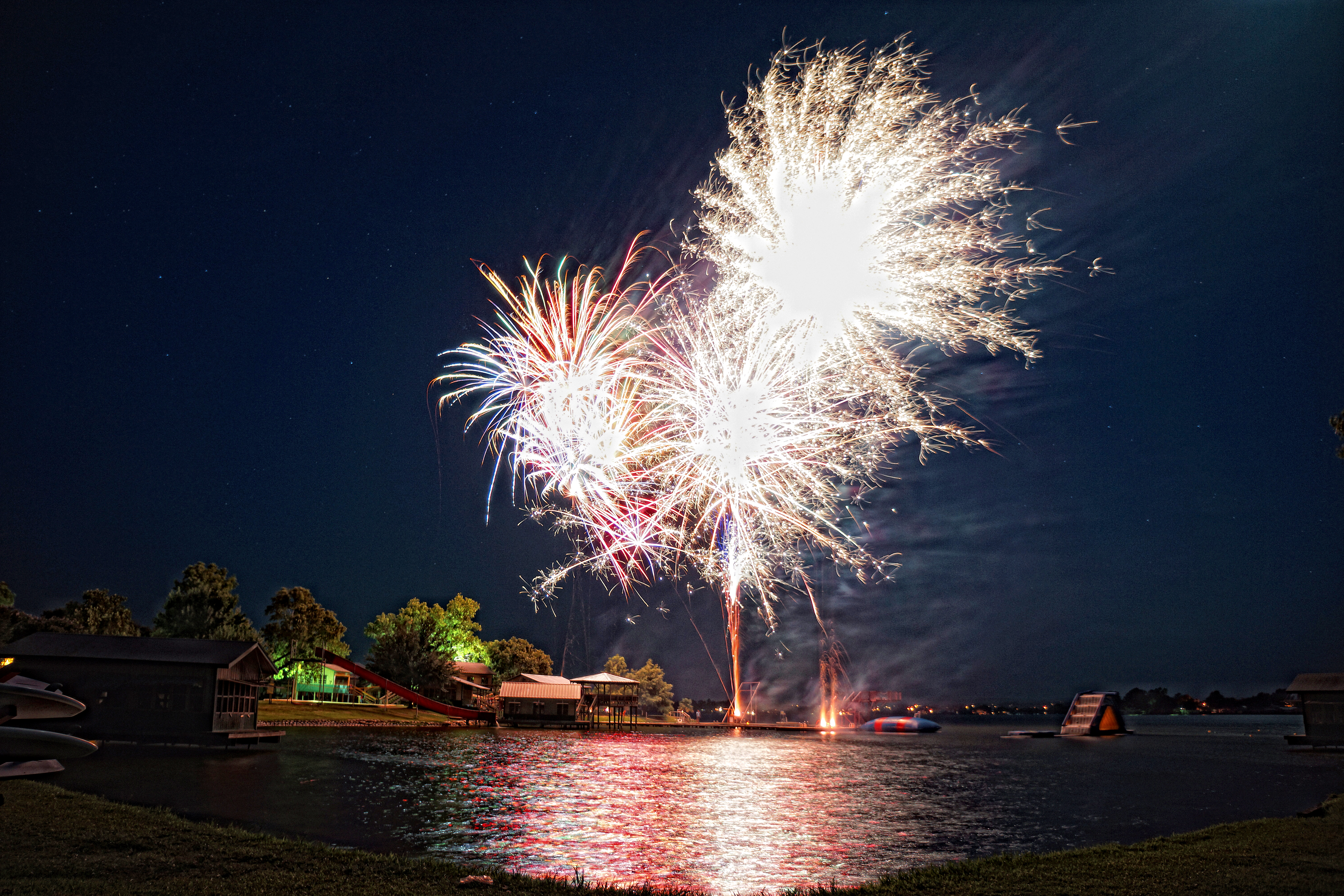
Camp Fireworks
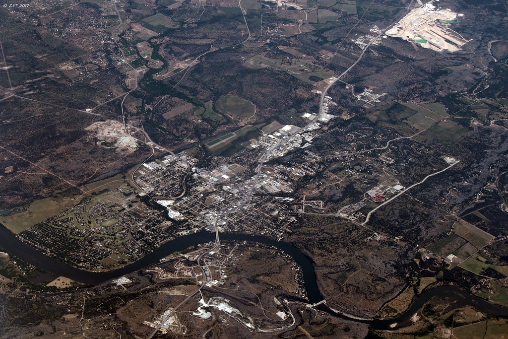
Marble Falls, TX [EXPLORED 5/14/17 - highest position #487]
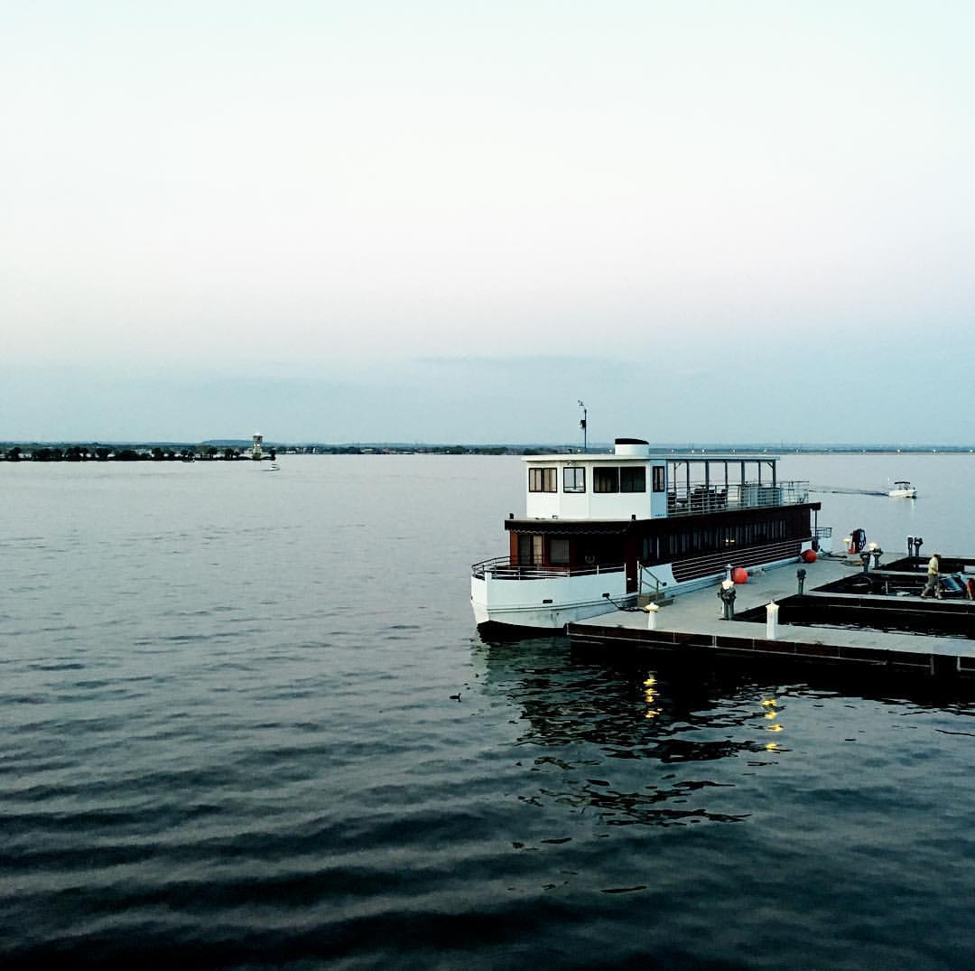
View from our balcony at Horseshoe Bay.

Life at Dead Man's Hole

Hiding in Plain view

Marble Falls Starbucks
Marble Falls 029

Wildflower with bug on it
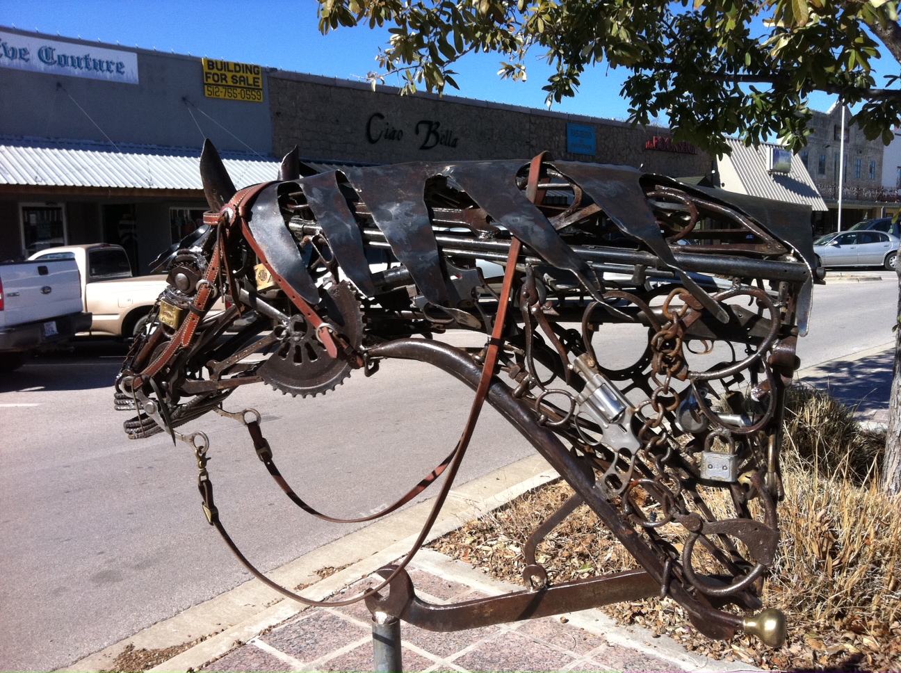
Horse sculpture in downtown Marble Falls - side view

Texas Corn Maze

Railing corner view PA062063

Sunset PA062064

May the wind take your troubles away

Sketchy Drop - Rear View

House closer view PA082113

Easterly view PA082115

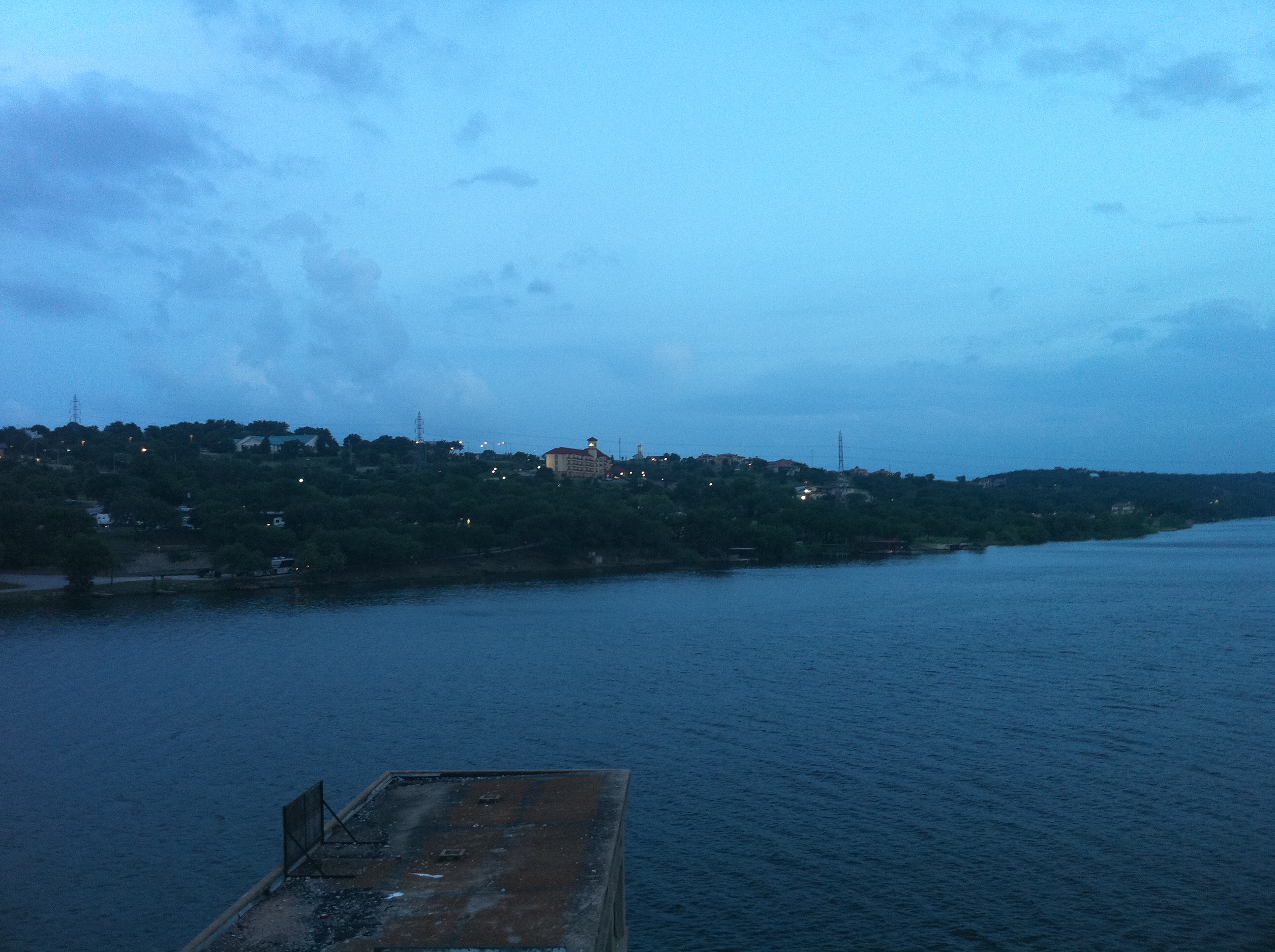
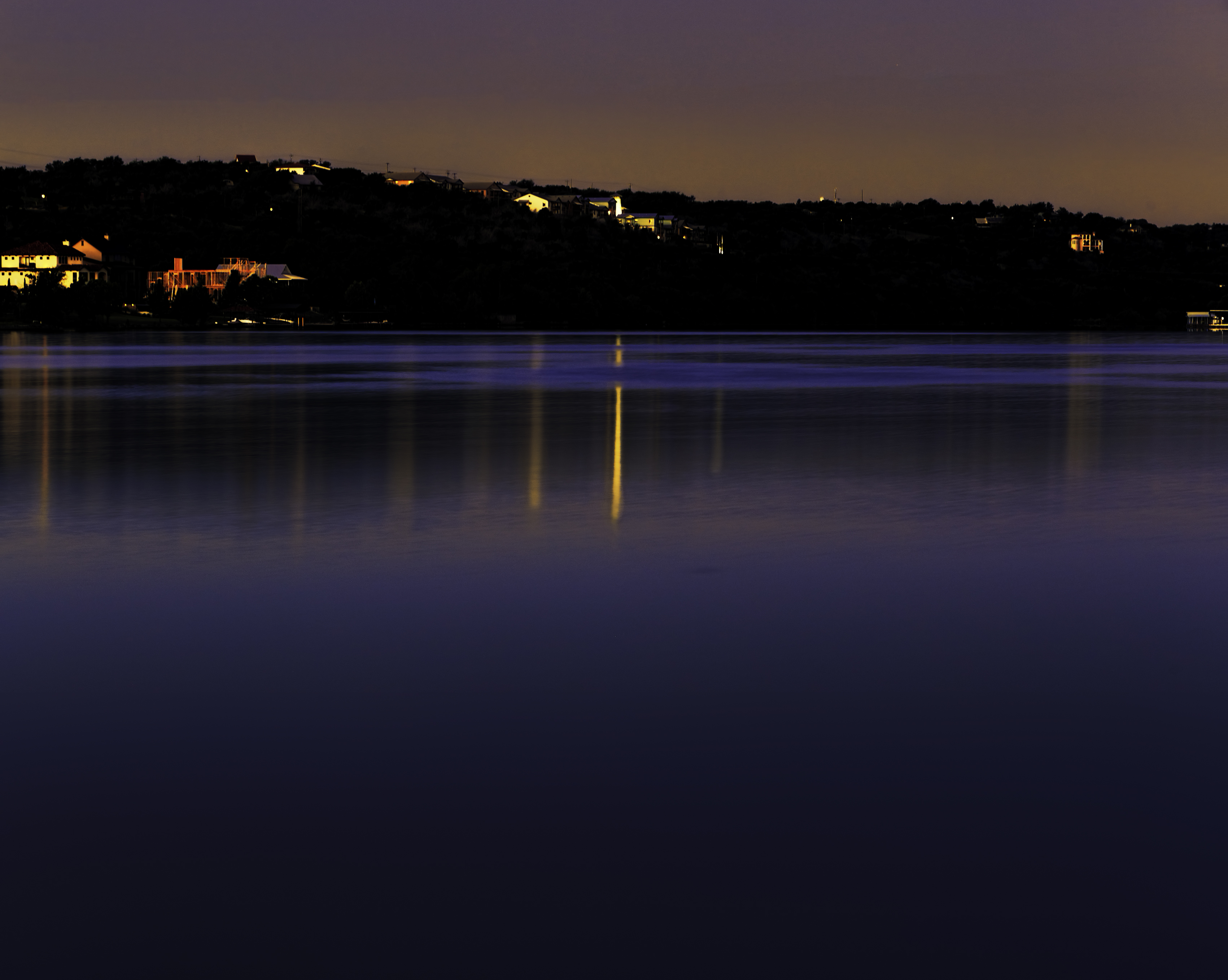
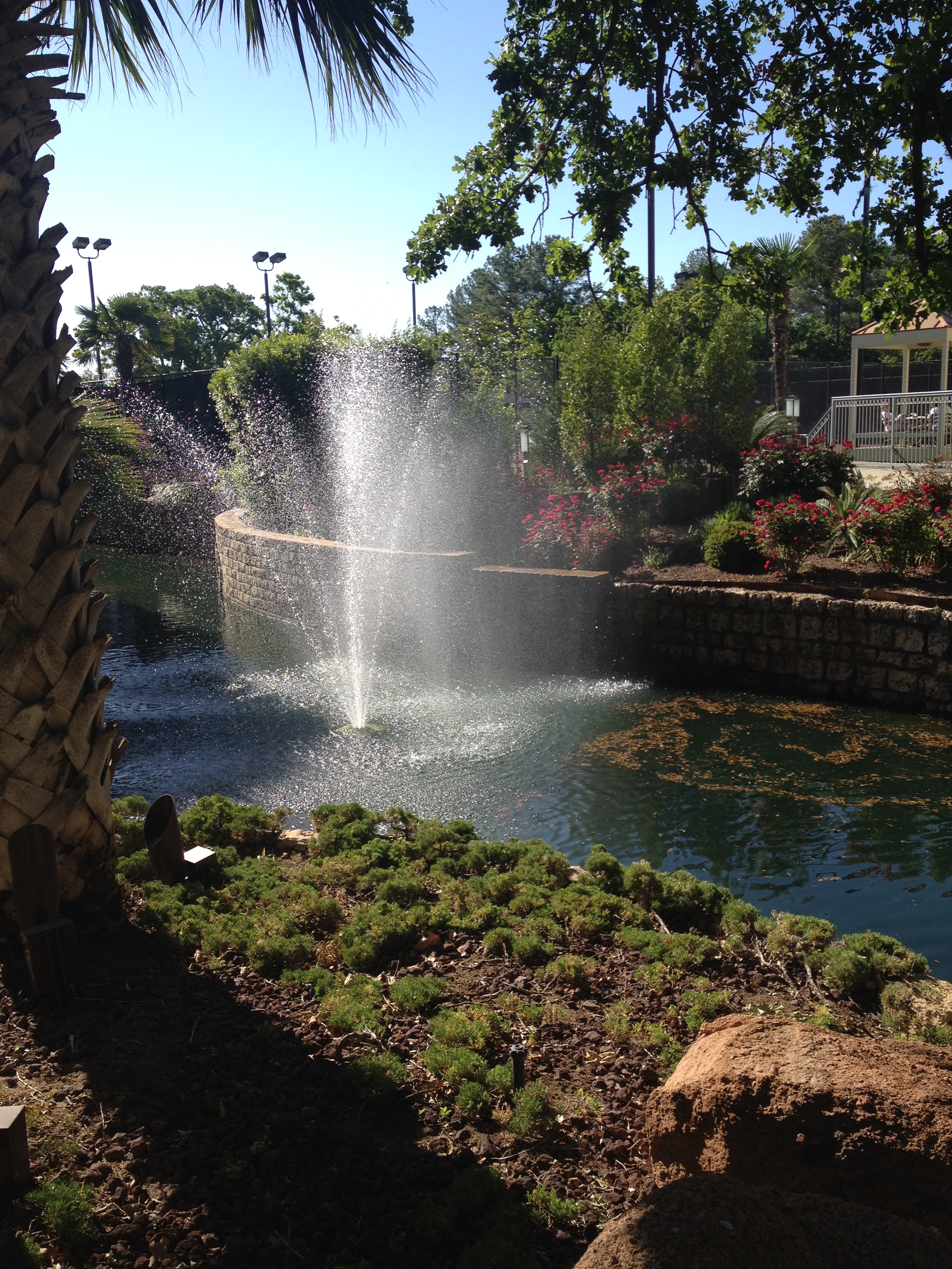
Horseshoe Bay View
Marble Falls Panorama
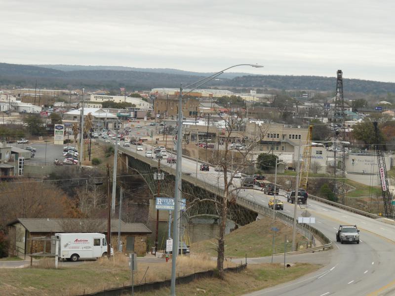
Marble Falls
Road view PA062075
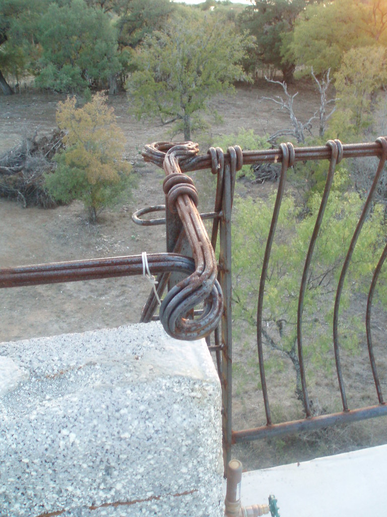
Railing detail PA062065

US 281 Bridge, Marble Falls, TX

Burnet - Danger
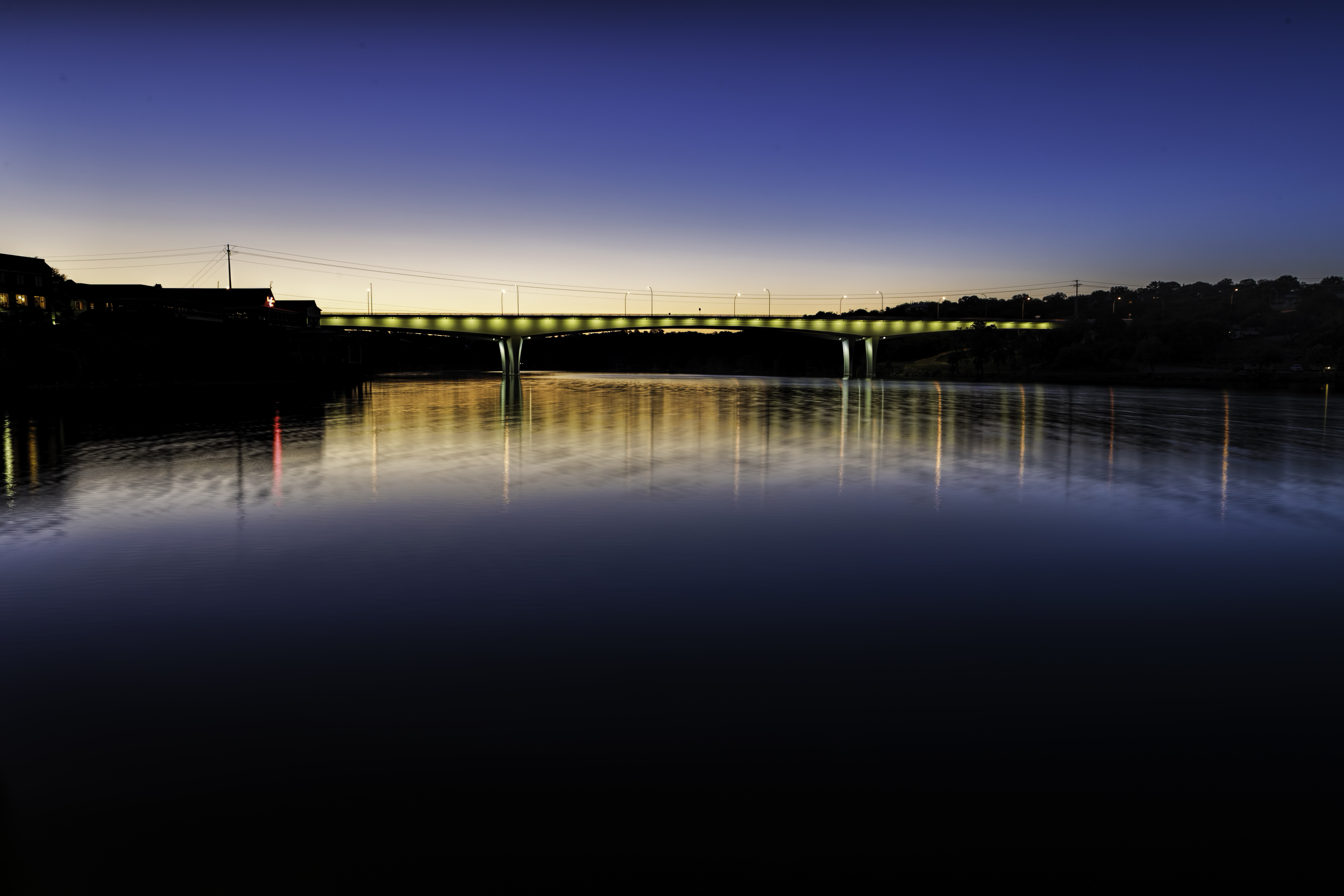
US 281 Bridge over Lake Marble Falls
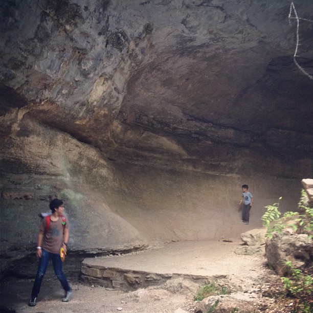
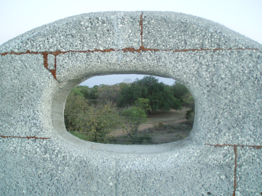
#cavestagram

Sunrise on the Lake

Colored Lights
Early Light

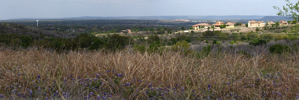
Greenthread and Bluebonnet Field (panoramic)
2014-05-04 09.30.45
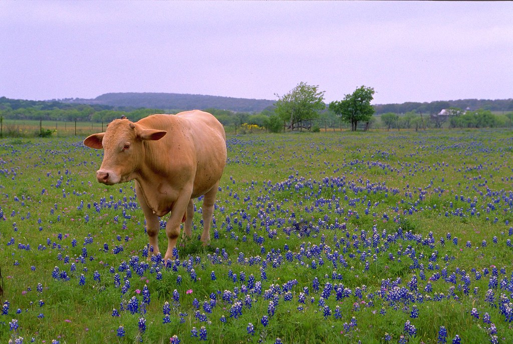
Cow and Bluebonnets -- April 2005
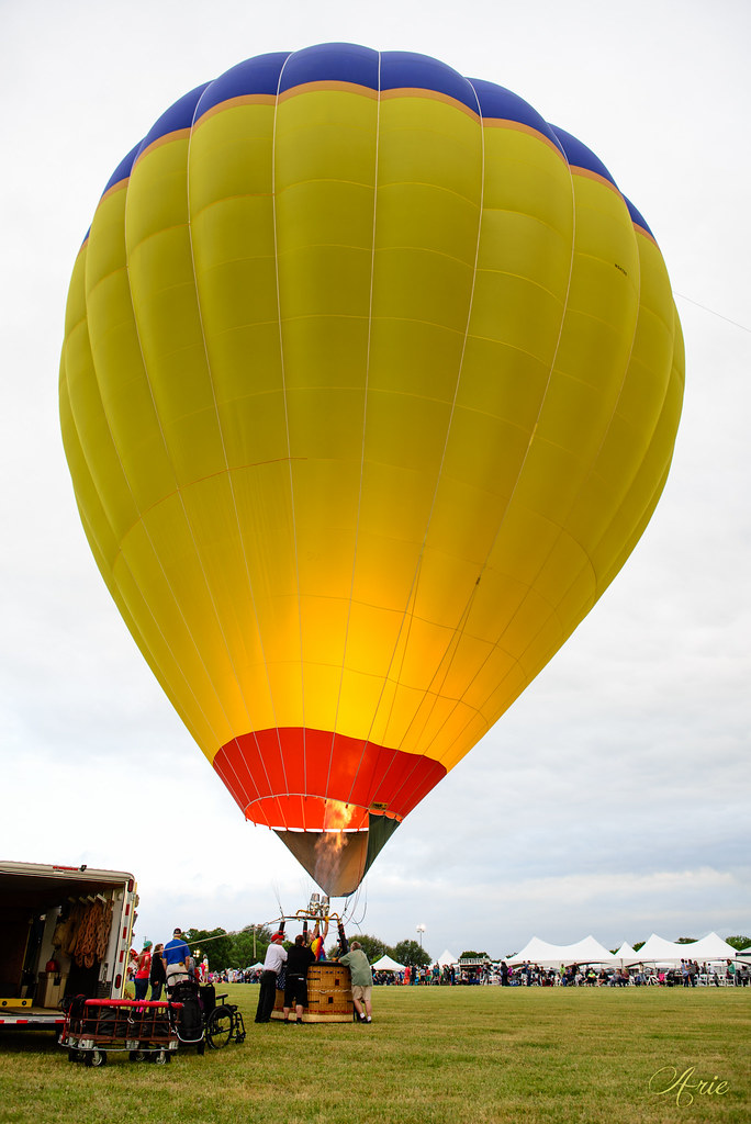
5th annual Balloons Over Horseshoe Bay Resort

Burnet - Longhorn Caverns Exit into the Garden

Lake Swim

Burnet - Cactus Garden

Touring the caverns

Burnet - Garden Yucca
Sunset Marble Falls

Burnet - Garden Entrance
20130129-093147-Edit.jpg

Hill Country Burnet County Rd 335 Panorama II

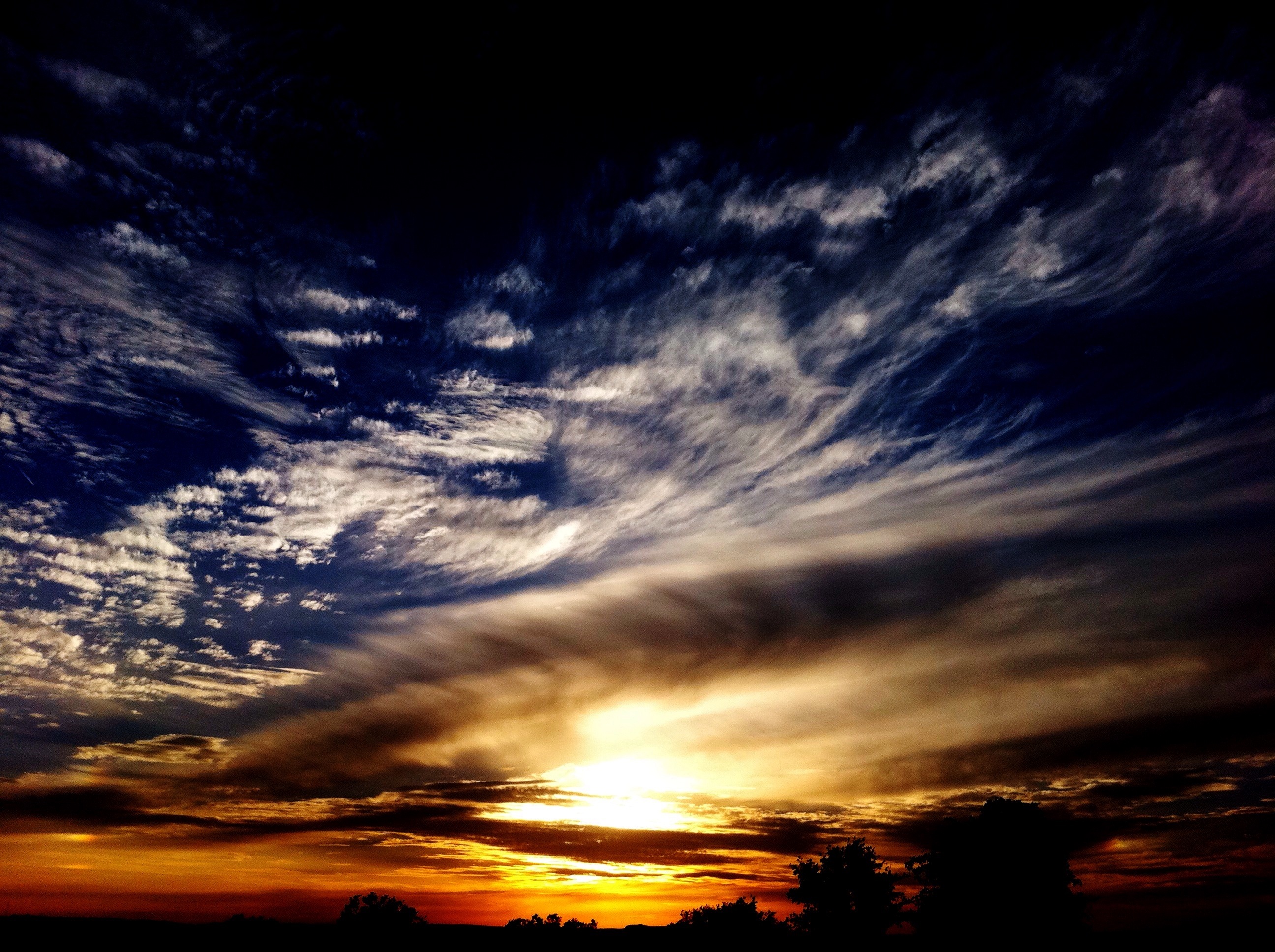
Texas Sunset
Topographic Map of Rocky Rd, Horseshoe Bay, TX, USA
Find elevation by address:

Places near Rocky Rd, Horseshoe Bay, TX, USA:
Meadowlakes Drive
Meadowlakes Drive
315 Meadowlakes Dr
119 Firestone Pl
Meadowlakes
330 Colonial St
Johnson Park
433 St Andrews St
262 Turkey Run
907 Circle Dr
Marble Falls
1605 Farm To Market Rd 1431
709 Industrial Blvd
3733 Northwood Dr
Cottonwood Shores
Dukes Drive
210 Knights Row
303 Knights Row
300 Knights Row
930 Cimarron Ranch Rd
Recent Searches:
- Elevation of Corso Fratelli Cairoli, 35, Macerata MC, Italy
- Elevation of Tallevast Rd, Sarasota, FL, USA
- Elevation of 4th St E, Sonoma, CA, USA
- Elevation of Black Hollow Rd, Pennsdale, PA, USA
- Elevation of Oakland Ave, Williamsport, PA, USA
- Elevation of Pedrógão Grande, Portugal
- Elevation of Klee Dr, Martinsburg, WV, USA
- Elevation of Via Roma, Pieranica CR, Italy
- Elevation of Tavkvetili Mountain, Georgia
- Elevation of Hartfords Bluff Cir, Mt Pleasant, SC, USA