Elevation of Rocky Point Rd NW, Williams, MN, USA
Location: United States > Minnesota > Lake Of The Woods County > Lakewood Township >
Longitude: -95.067371
Latitude: 48.9609633
Elevation: 327m / 1073feet
Barometric Pressure: 97KPa
Elevation Map:
Satellite Map:
Related Photos:

The breakfast view | @wearethinkshift #retreat

Just above 49th Parallel

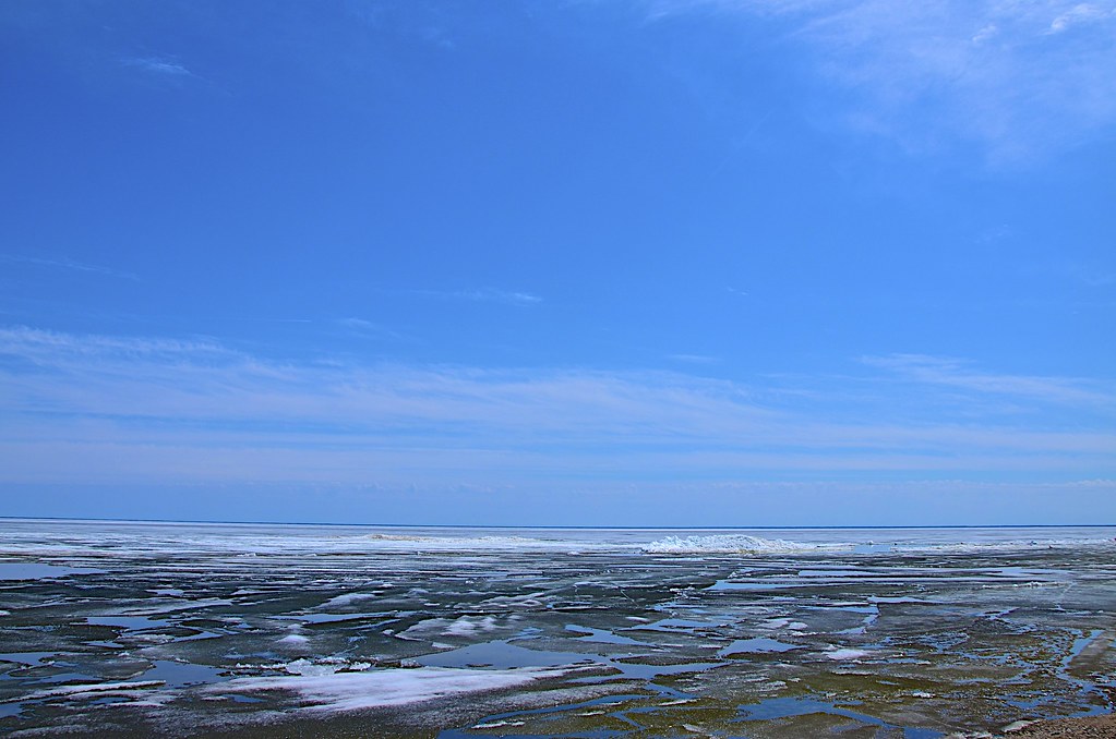
Eisschollen auf dem See

Long Point Sunset

Blau weiß am See
Schneereste auf Eisscholle

lake fog

lake fog

Sandy Shores, July 9, 2014
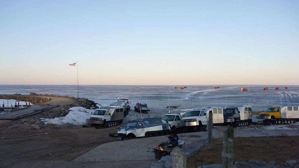
Arnesen's Rocky Point - March 2010
Topographic Map of Rocky Point Rd NW, Williams, MN, USA
Find elevation by address:

Places near Rocky Point Rd NW, Williams, MN, USA:
Lakewood Township
Roosevelt
Angle Township
Lake Of The Woods
Warroad
Lake St NE, Warroad, MN, USA
Lake Of The Woods County
Norris Camp
Dawson
Enstrom Township
Salol
47645 310th St
Main St, Baudette, MN, USA
Baudette
218 4th St
81 Atwood 2 Rd
81 Atwood 2 Rd
Beltrami County
Rogers Rd NE, Kelliher, MN, USA
Main St E, Kelliher, MN, USA
Recent Searches:
- Elevation of Corso Fratelli Cairoli, 35, Macerata MC, Italy
- Elevation of Tallevast Rd, Sarasota, FL, USA
- Elevation of 4th St E, Sonoma, CA, USA
- Elevation of Black Hollow Rd, Pennsdale, PA, USA
- Elevation of Oakland Ave, Williamsport, PA, USA
- Elevation of Pedrógão Grande, Portugal
- Elevation of Klee Dr, Martinsburg, WV, USA
- Elevation of Via Roma, Pieranica CR, Italy
- Elevation of Tavkvetili Mountain, Georgia
- Elevation of Hartfords Bluff Cir, Mt Pleasant, SC, USA