Elevation of Rockbridge Baths, VA, USA
Location: United States > Virginia > Rockbridge County > Walkers Creek >
Longitude: -79.413053
Latitude: 37.9276505
Elevation: 475m / 1558feet
Barometric Pressure: 96KPa
Elevation Map:
Satellite Map:
Related Photos:

General Marshall Views Drawings at the International Art Exchange, October 25, 1949

RAD20130126.22 VMI Parade & Barracks

Parade Grounds at Virginia Military Institute

Outdoor Musicians

2011.10.17 45K Views
Early birds deserved that view

Sunday Afternoon in Lexington

Looking North on Main Street, Lexington, VA

Middlebrook Rd X

Washington and Lee University - View from Near Lee Chapel

Rain Soaked Day

view in Rockbridge County, Virginia

Timber Ridge Presbyterian Church

At the Berry Farm

Meandering Mackey's Lane

1401 Lt. Gen. Thomas Jonathan Stonewall Jackson Img_22724

2007 - 07 - 23 - Fox Hill B&B Fairfield VA (0)

view at VMI - Lexington, Virginia

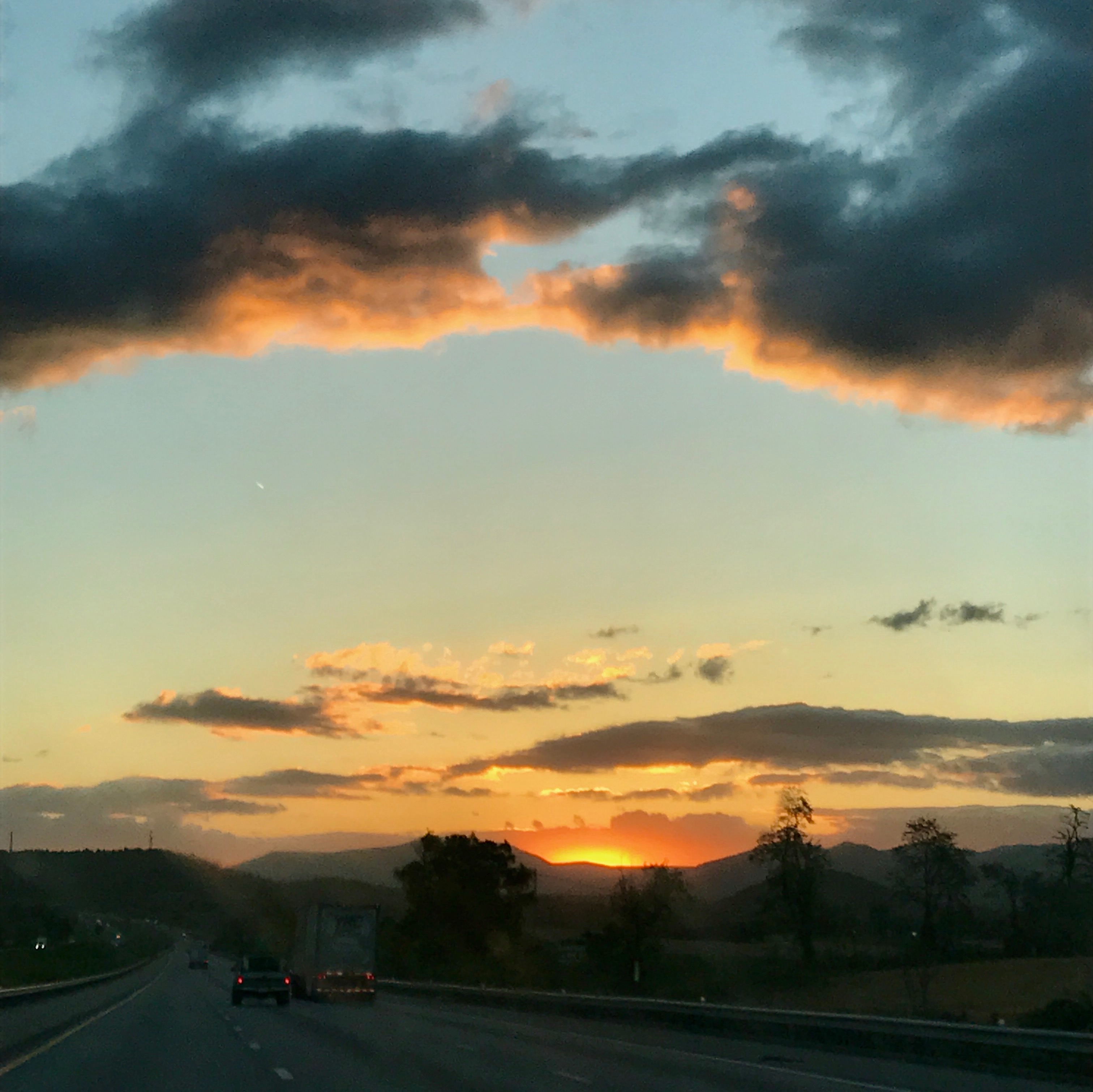
I-81 Sunset

At the Berry Farm

abandoned house - view from Red Hill Road
1999.10.15.03 Walkers Creek

Maury River, Goshen Pass, Goshen Pass State Natural Area, Rockbridge County, Virginia 1

Maury River, Goshen Pass, Goshen Pass State Natural Area, Rockbridge County, Virginia 3

KERRS CREEK INT'L AIRPORT

Overcast Autumn Day in Goshen Pass

Wades Mill Apple Butter Festival

Spring Has Arrived

Low Clouds in Goshen Pass

Maury in March
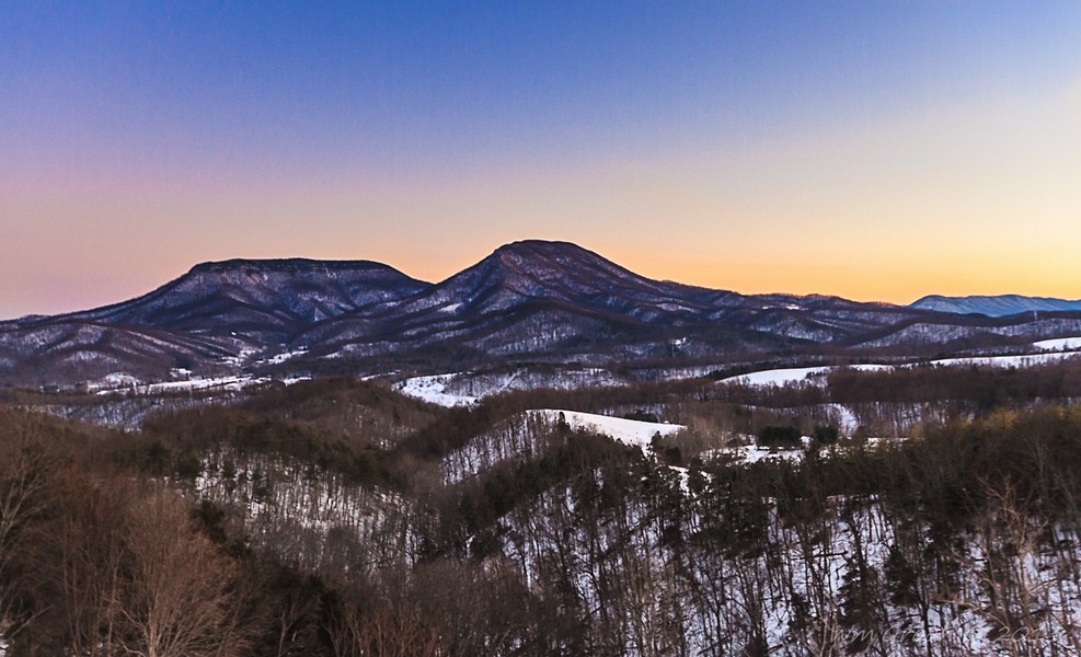
Rockbridge County Va.

The New House Across from the Cattle Farm

Wade's Mill

Scouting Goshen Pass

2007.07.04.05935 Fireworks at Virginia Military Institute

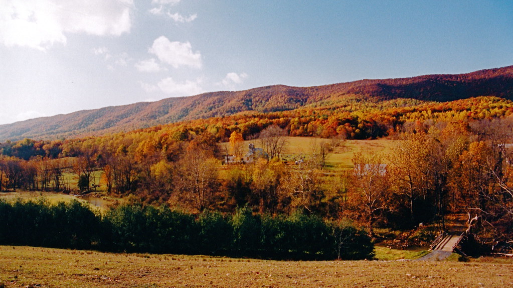
Autumn Colors

Empties for West Virginia
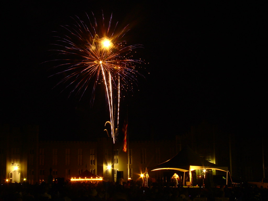
2007.07.04.05945 Fireworks at Virginia Military Institute

Fishermen on the Maury River in Goshen Pass - Goshen, VA
Topographic Map of Rockbridge Baths, VA, USA
Find elevation by address:

Places near Rockbridge Baths, VA, USA:
4674 Maury River Rd
620 Jump Mountain Rd
Walkers Creek
3955 Maury River Rd
3153 Maury River Rd
Kenwood Lane
743 Pisgah Rd
2516 N Lee Hwy
Fairfield, VA, USA
Sunnybrook Road
793 Fox Rd
263 Timber Grove Ln
Virginia Horse Center
86 Walucman Dr
86 Walucman Dr
86 Walucman Dr
35 Goose Creek Rd
35 Goose Creek Rd
35 Goose Creek Rd
165 Mcclure Blvd
Recent Searches:
- Elevation of Corso Fratelli Cairoli, 35, Macerata MC, Italy
- Elevation of Tallevast Rd, Sarasota, FL, USA
- Elevation of 4th St E, Sonoma, CA, USA
- Elevation of Black Hollow Rd, Pennsdale, PA, USA
- Elevation of Oakland Ave, Williamsport, PA, USA
- Elevation of Pedrógão Grande, Portugal
- Elevation of Klee Dr, Martinsburg, WV, USA
- Elevation of Via Roma, Pieranica CR, Italy
- Elevation of Tavkvetili Mountain, Georgia
- Elevation of Hartfords Bluff Cir, Mt Pleasant, SC, USA