Elevation of Rock Fence Rd, Creston, NC, USA
Location: United States > North Carolina > Ashe County > Pond Mountain >
Longitude: -81.65576
Latitude: 36.557755
Elevation: -10000m / -32808feet
Barometric Pressure: 295KPa
Elevation Map:
Satellite Map:
Related Photos:
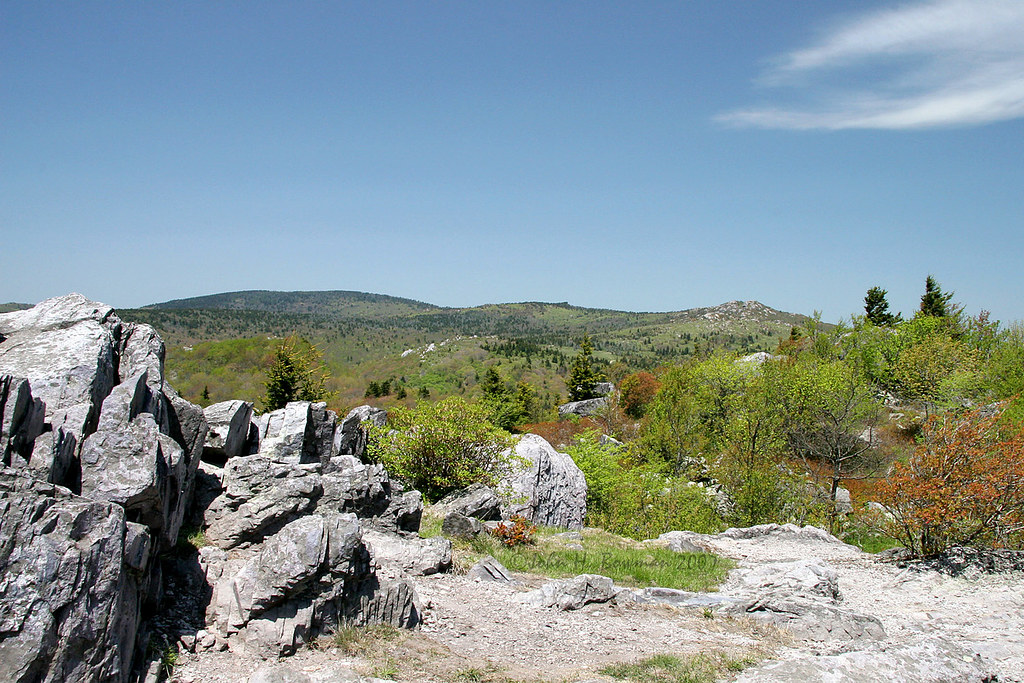
Grayson Highlands

Green Cove Station

View Toward Buzzard Rocks from Whitetop Mountain - Mt. Rogers, NRA, Whitetop, VA

Whitetop Laurel Creek

Wilburn Ridge Trail

Buzzard Rock, Appalachian NST, VA (3)

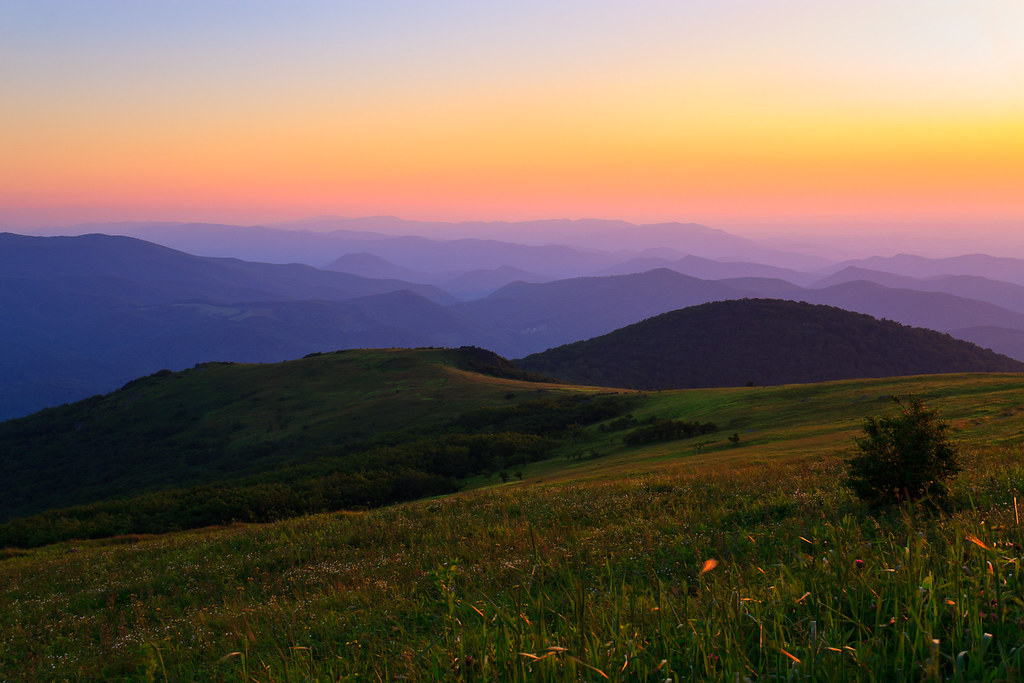
Grayson Highlands Sunset

Mobile Home
Sunset on White Top

Whitetop Mountain, Appalachian NST, VA

VA601 to Buzzard Rock, Appalachian NST, VA (13)

Buzzard Rock, Appalachian NST, VA (2)

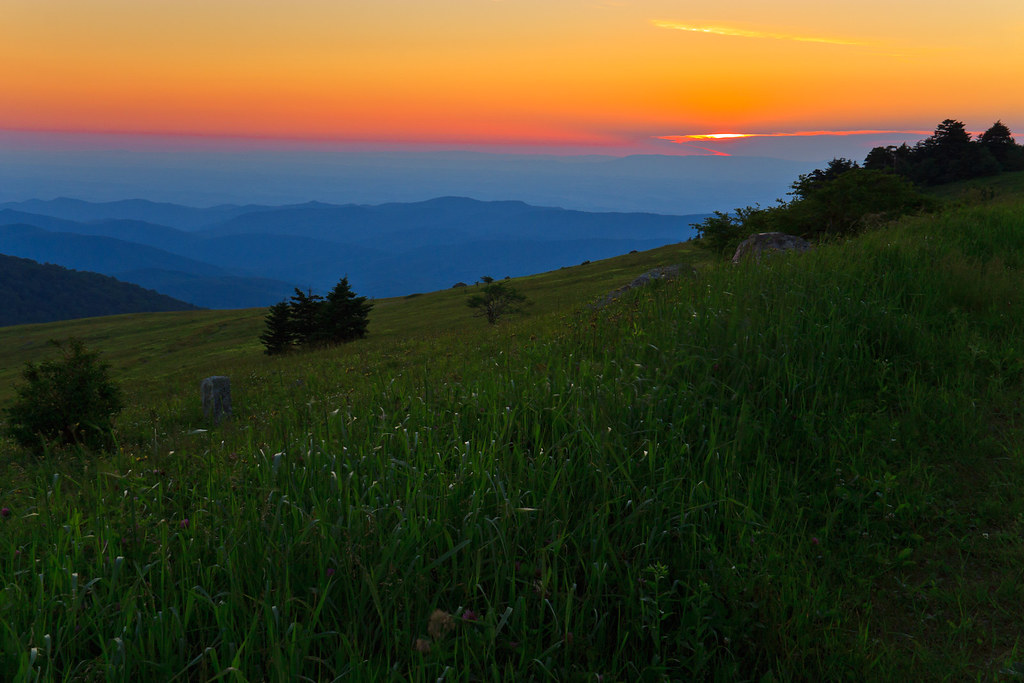
Morning in the Grayson Highlands
Sunset on White Top

VA601 Trailhead, Appalachian NST, VA

Street Veiw from ATM Machine

Virginia Creeper Trail 360

Rock Pile

RAD2013.03.20.08 White Top

Virginia Creeper Trail 360

View of W4C/EM-014 - Three Top Mountain

Grayson Highlands

Whitetop Laurel Creek

Pony at Grayson Highlands State Park, Virginia

Clearing Fog on Whitetop Mountain

Massey Gap Landscape

Mt Rogers Backpack - Sunrise on Thomas Knob - July 6, 2014

Grayson Highlands
Green Acres is the Place For Me

A little color...Sugarlands Overlook, Grayson Highlands State Park [Explored]

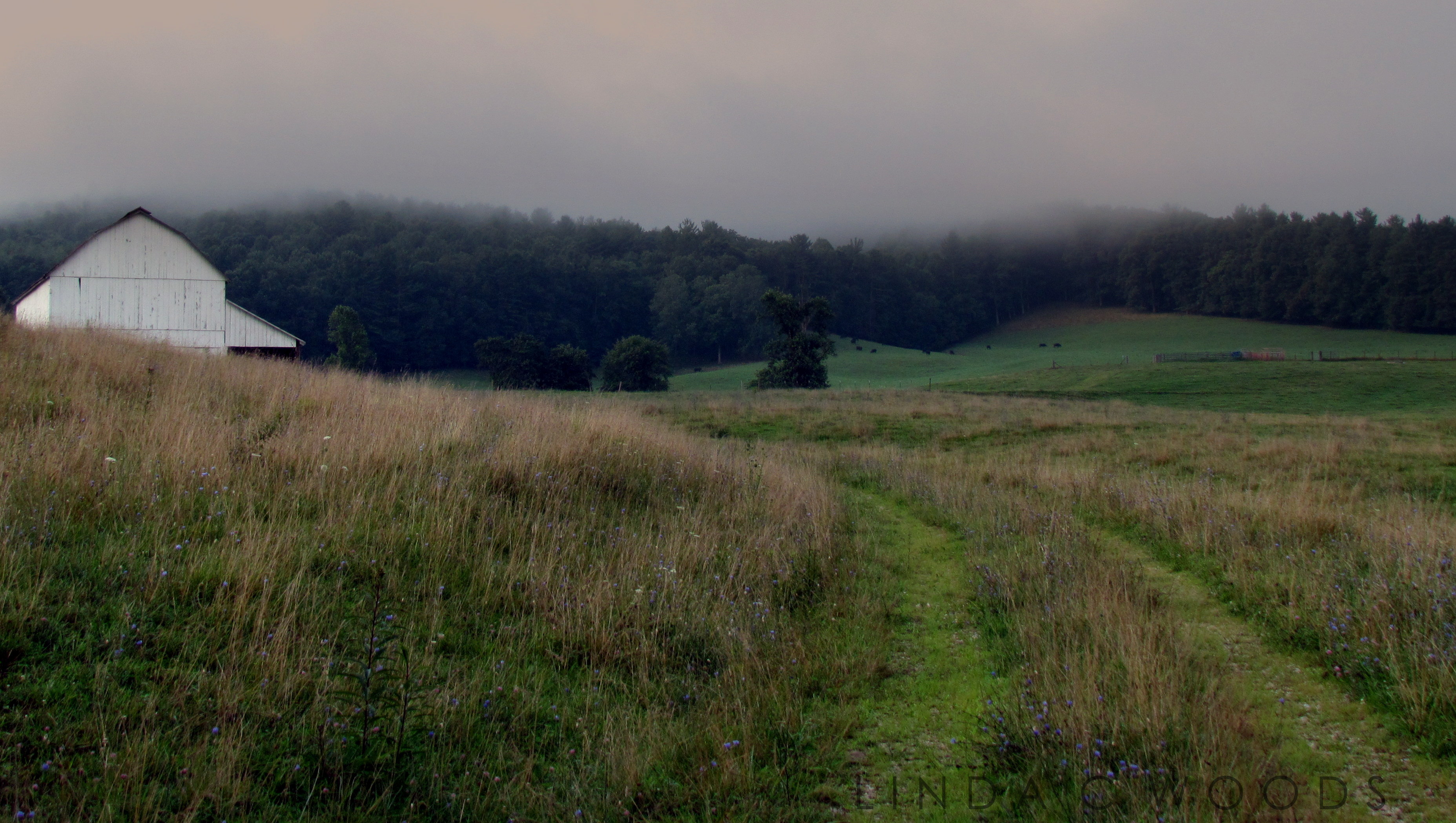
Cabin on Cabin Creek
Topographic Map of Rock Fence Rd, Creston, NC, USA
Find elevation by address:

Places near Rock Fence Rd, Creston, NC, USA:
1720 Rock Fence Rd
1720 Rock Fence Rd
Denny Road
Flatwoods School Road
734 Flatwoods School Rd
1600 Burnt School House Rd
2201 Burnt School House Rd
4990 Joines Rd
1800 Burnt School House Rd
Fairview Church Road
463 Fairview Church Rd
3587 Joines Rd
John Alley Road
983 Big Springs Rd
Little Horse Trail Road
Pond Mountain
2381 Roaring Fork Rd
2829 Roaring Fork Rd
2203 Willie Walker Rd
Roaring Fork Road
Recent Searches:
- Elevation of Corso Fratelli Cairoli, 35, Macerata MC, Italy
- Elevation of Tallevast Rd, Sarasota, FL, USA
- Elevation of 4th St E, Sonoma, CA, USA
- Elevation of Black Hollow Rd, Pennsdale, PA, USA
- Elevation of Oakland Ave, Williamsport, PA, USA
- Elevation of Pedrógão Grande, Portugal
- Elevation of Klee Dr, Martinsburg, WV, USA
- Elevation of Via Roma, Pieranica CR, Italy
- Elevation of Tavkvetili Mountain, Georgia
- Elevation of Hartfords Bluff Cir, Mt Pleasant, SC, USA