Elevation of Roche Jacques, Improvement District No. 12, AB T0E, Canada
Location: Canada > Alberta > Division No. 15 > Improvement District No. 12 >
Longitude: -117.96166
Latitude: 53.0416666
Elevation: 2491m / 8173feet
Barometric Pressure: 75KPa
Elevation Map:
Satellite Map:
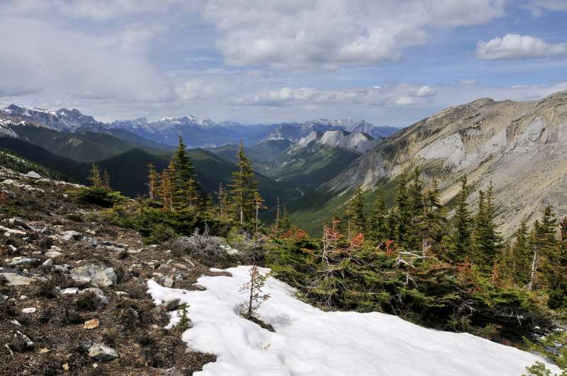
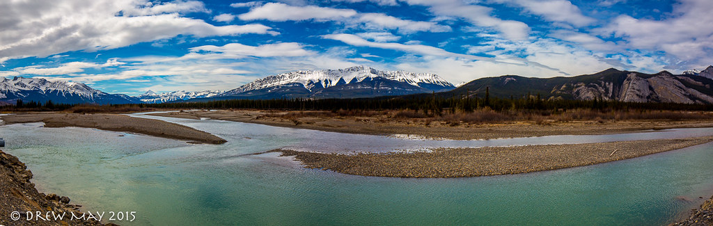
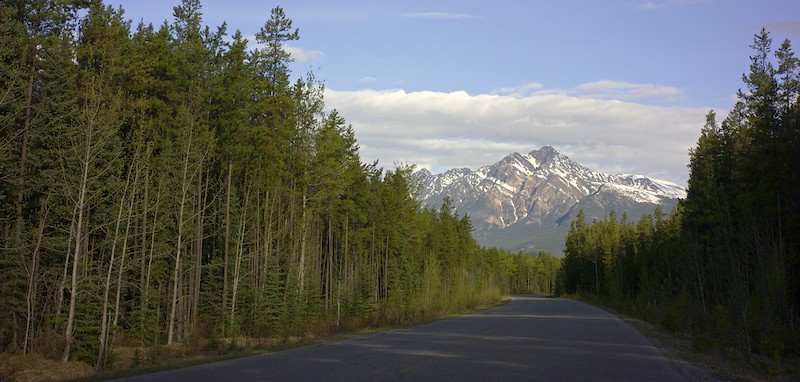
Related Photos:
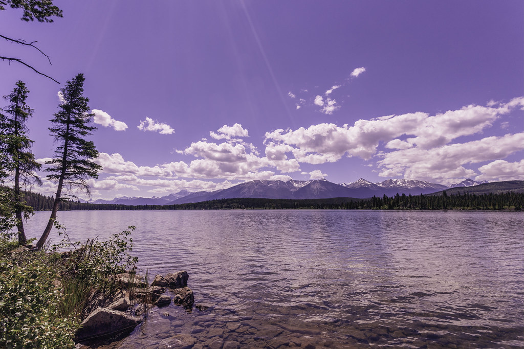
Pyramid Lake IV
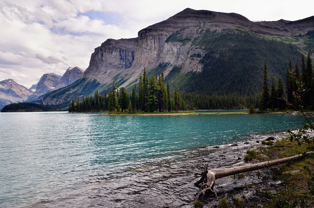
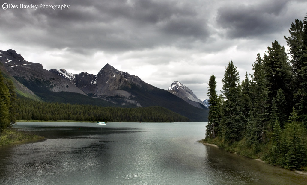
Canadá. Maligne lake.
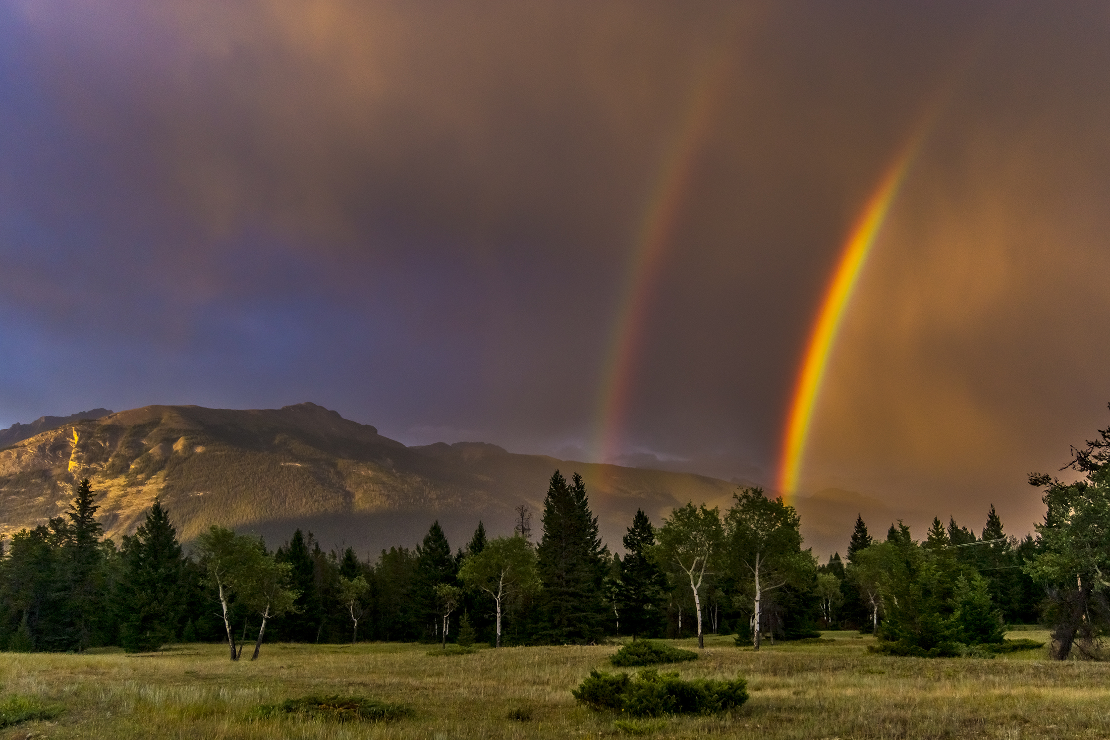
Right time wrong place
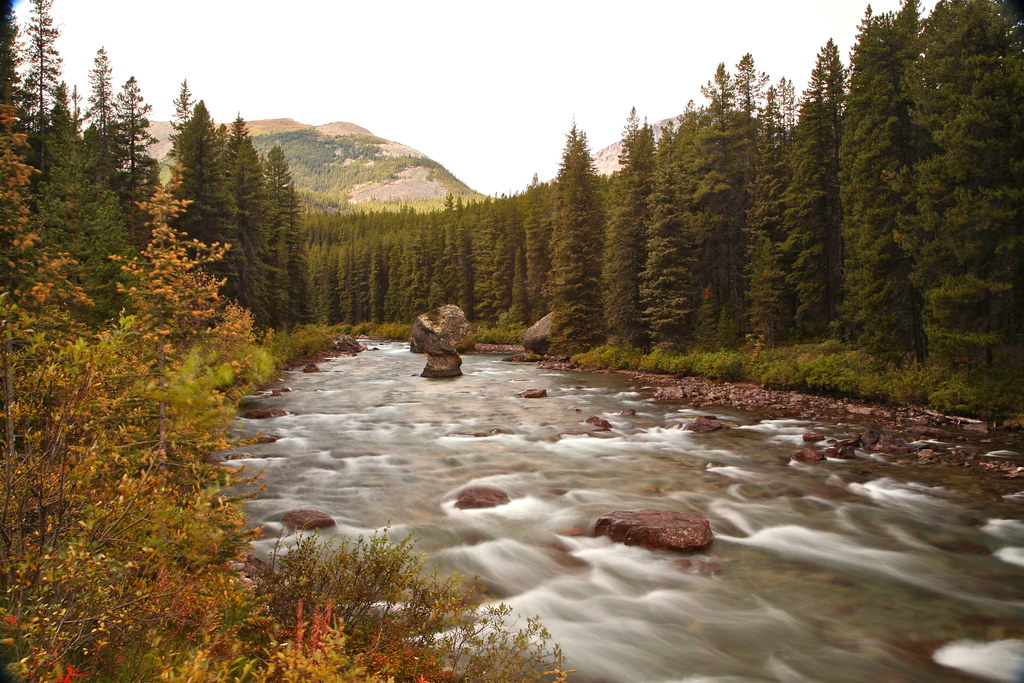
~Rolling on the River~
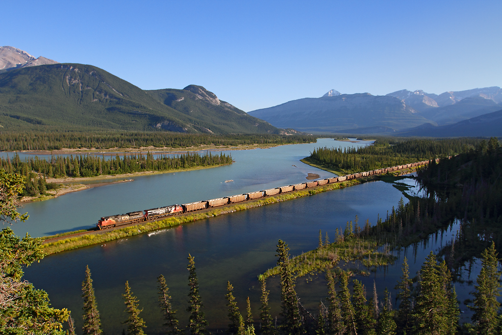
Evening coal train

"Everyone needs beauty . . . "
MALIGNE LAKE #15.
Imagine... a glacier !

Contemplation !

20110719-203342B
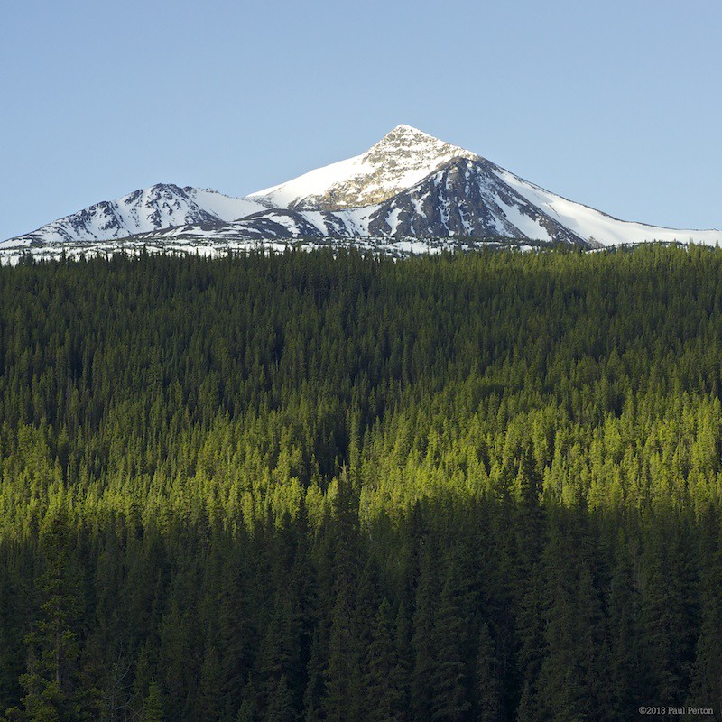
Excelsior Mountain
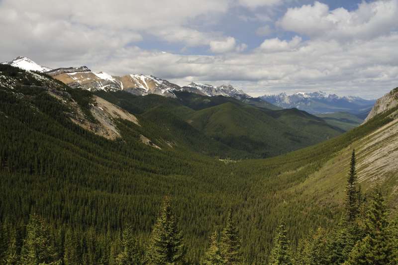
Rockies landscape !
A National Park Greeting
Mt Edith Cavell
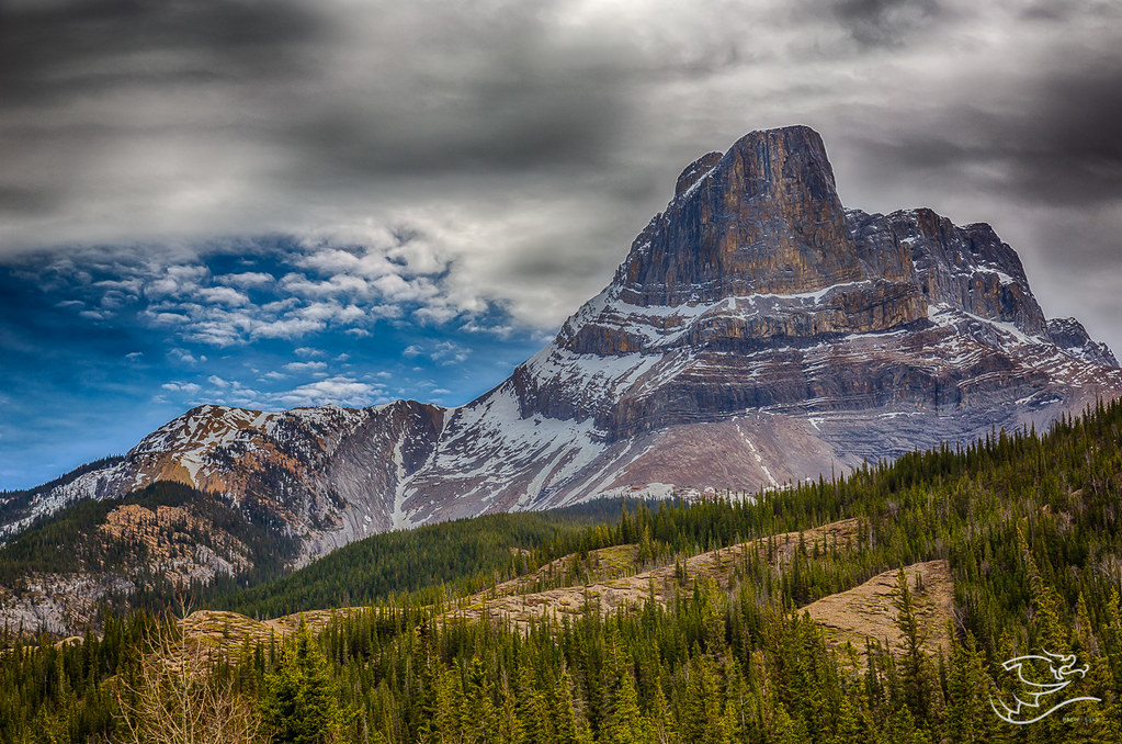
Roche Miette from another angle

20110719-203350B

20110719-205133B

20110719-201546B

20110720-024349B

20110719-205313B

20110719-204506B
Topographic Map of Roche Jacques, Improvement District No. 12, AB T0E, Canada
Find elevation by address:

Places near Roche Jacques, Improvement District No. 12, AB T0E, Canada:
Emir Mountain
Cinquefoil Mountain
Mount Colin
Hawk Mountain
Talbot Lake
Grisette Mountain
Snaring
Mount Dromore
Maligne Canyon Parking
Maligne Canyon
Roche Miette
Maligne Canyon
Maligne Canyon Trail
Maligne Canyon Trail
Maligne Lake Road
Capitol Mountain
Mount Merlin
Mount O'hagan
Jasper National Park
Pyramid Lake Resort
Recent Searches:
- Elevation of Corso Fratelli Cairoli, 35, Macerata MC, Italy
- Elevation of Tallevast Rd, Sarasota, FL, USA
- Elevation of 4th St E, Sonoma, CA, USA
- Elevation of Black Hollow Rd, Pennsdale, PA, USA
- Elevation of Oakland Ave, Williamsport, PA, USA
- Elevation of Pedrógão Grande, Portugal
- Elevation of Klee Dr, Martinsburg, WV, USA
- Elevation of Via Roma, Pieranica CR, Italy
- Elevation of Tavkvetili Mountain, Georgia
- Elevation of Hartfords Bluff Cir, Mt Pleasant, SC, USA