Elevation of Robinson Road, Robinson Rd, Palmer, MA, USA
Location: United States > Massachusetts > Hampden County > Palmer > Palmer >
Longitude: -72.278271
Latitude: 42.1534945
Elevation: 173m / 568feet
Barometric Pressure: 99KPa
Elevation Map:
Satellite Map:
Related Photos:
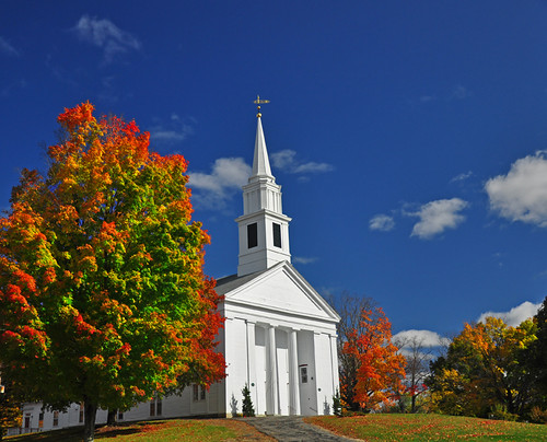
New England Church

Black Bear
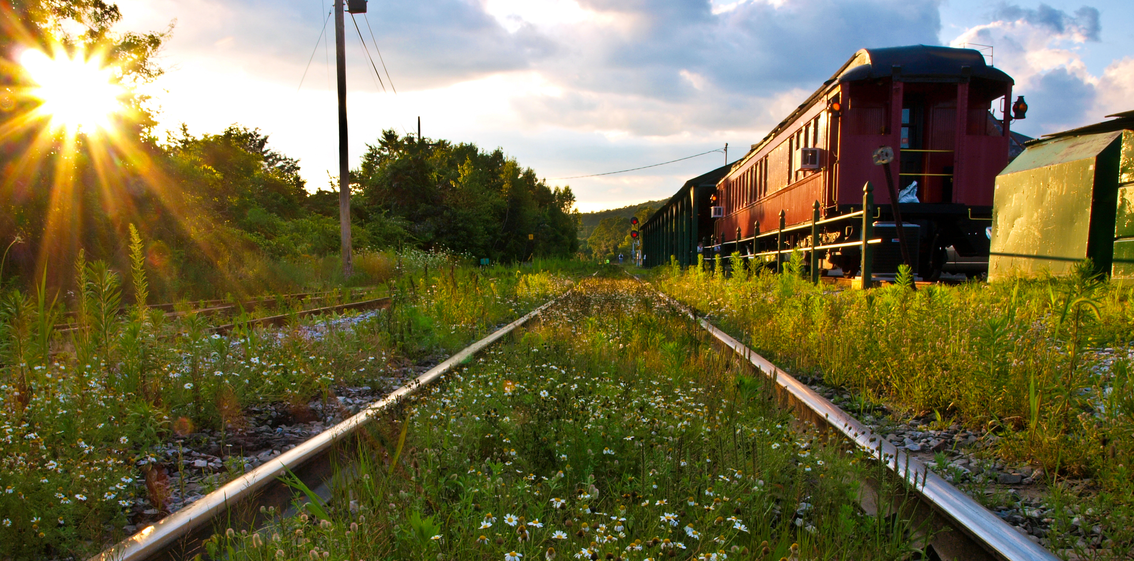
Rays and Rails
View from the Visitor's Center
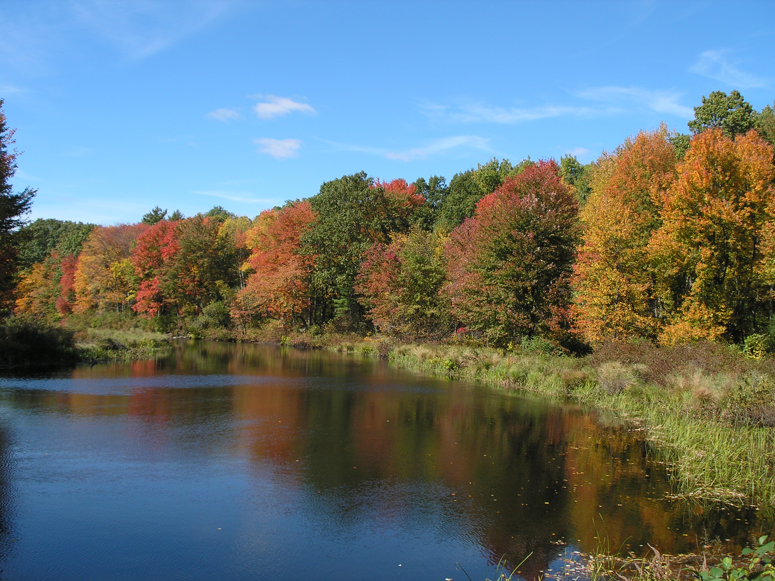
Autumn view
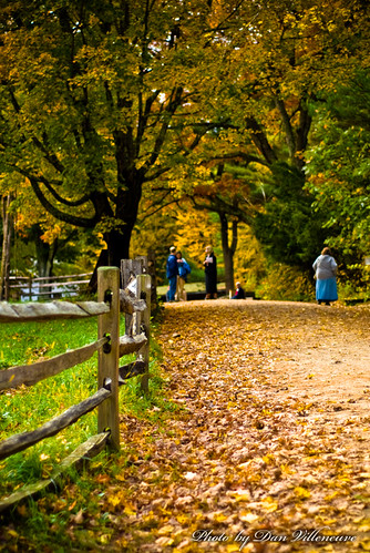
the longer way home
Red throated Loon
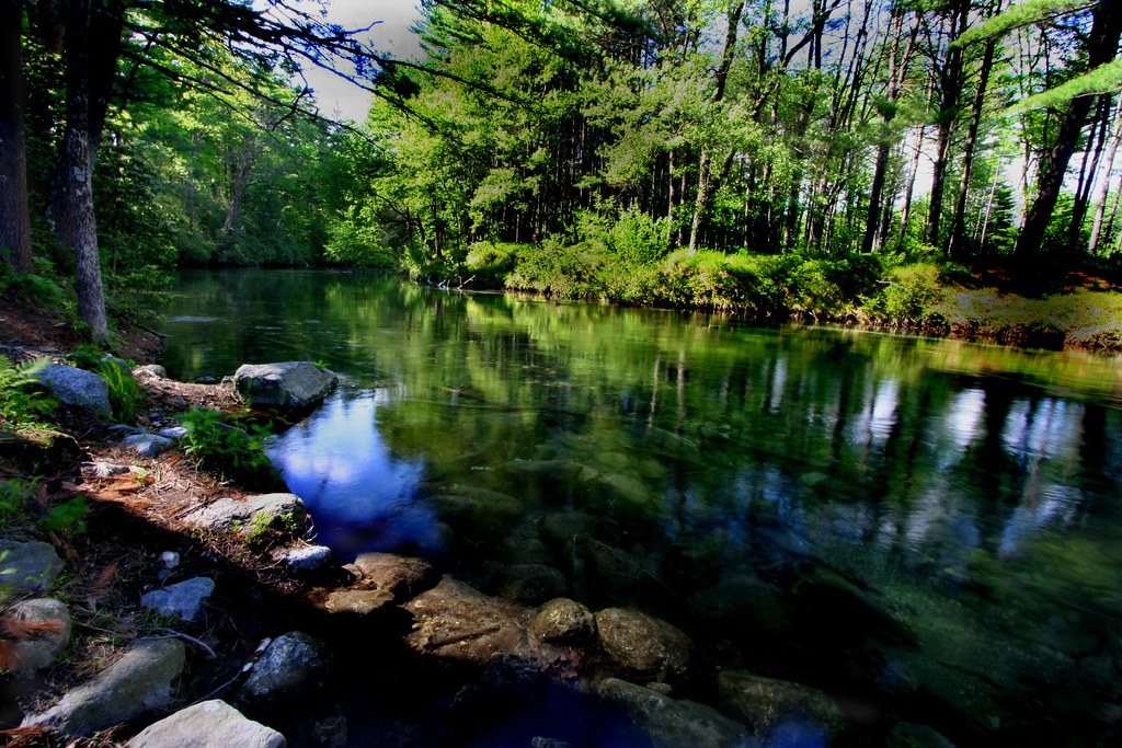
Swift River Colors

Free Range

Old Sturbridge Village
Golden Eagle (with Bald Eagle)

View of reservoir at last light from Goodnough Dike
Morning view at Gate 52
Can you hear it babble?
View from Enfield Lookout
Red necked Grebe
White winged Scoter
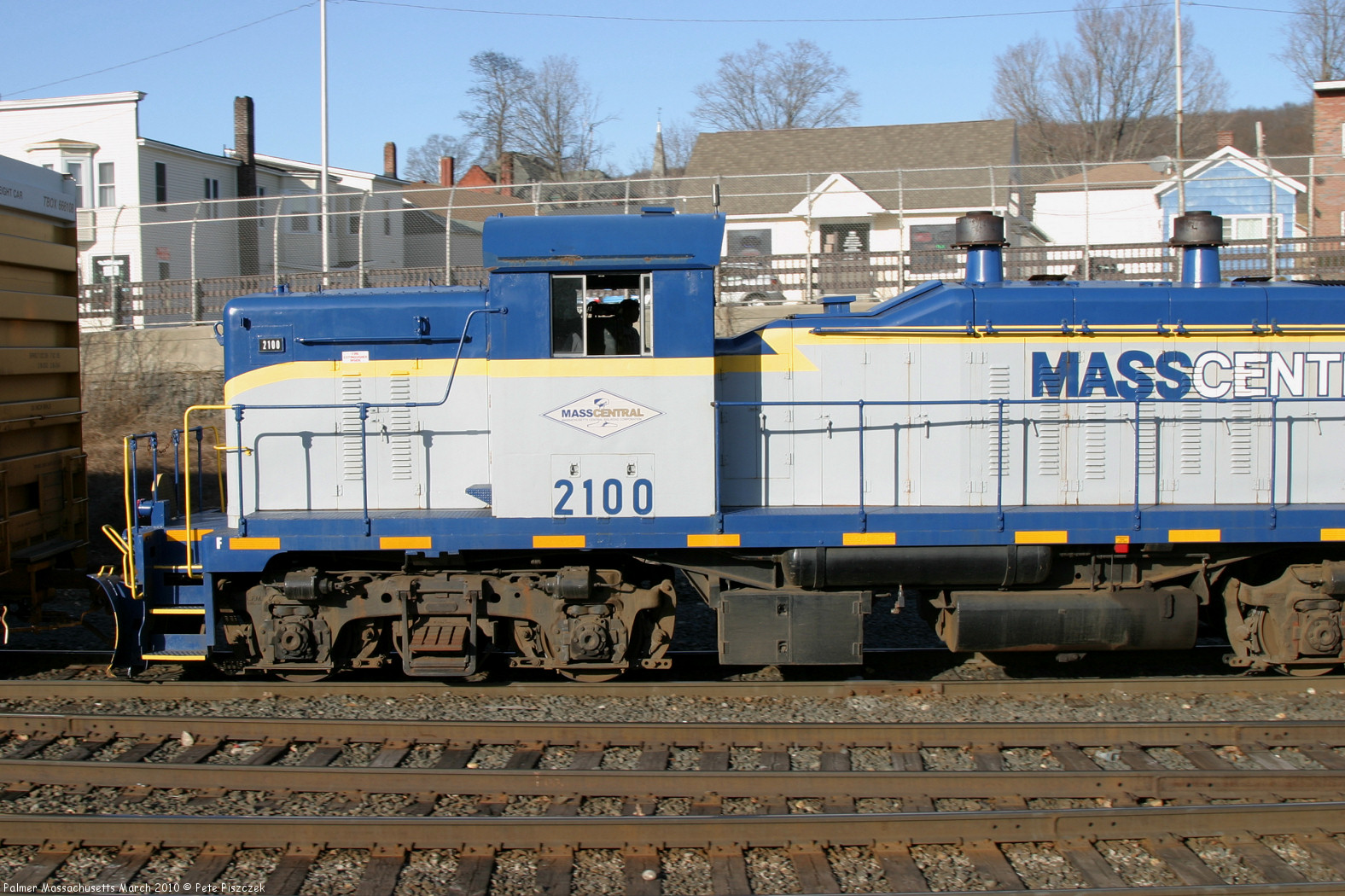
MCER 2100 Palmer Massachusetts March 2010 d
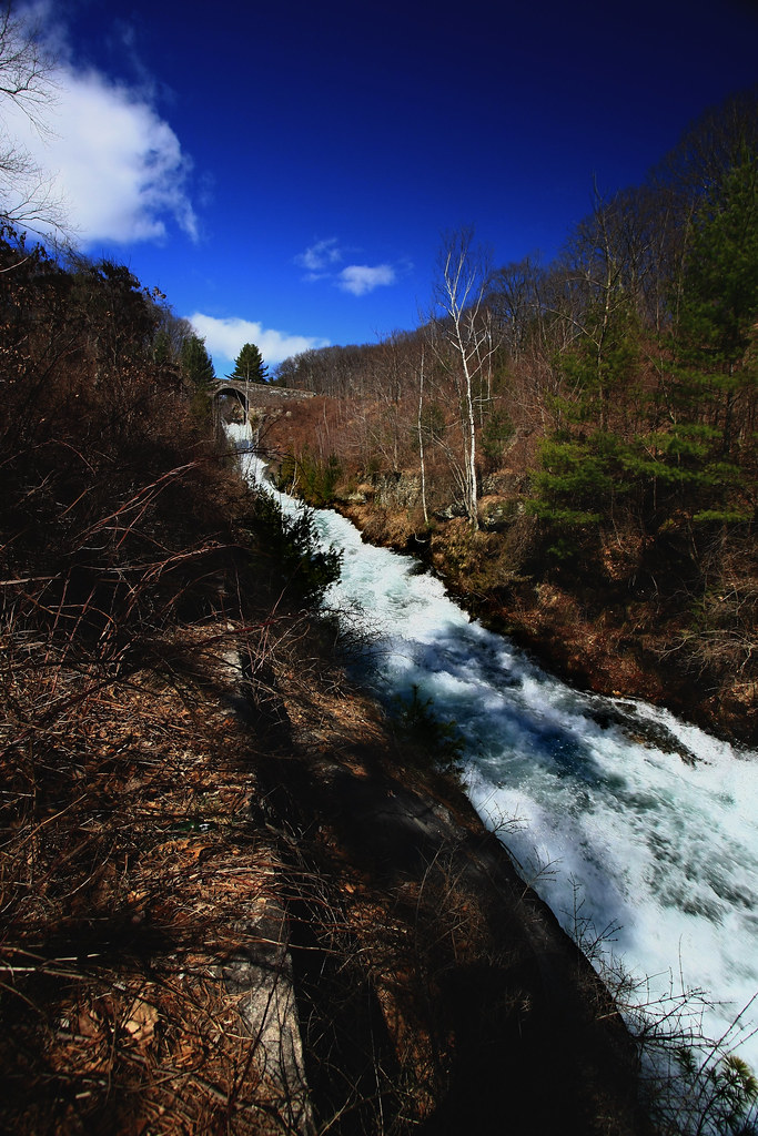
The Roar of the Rapids
Silence , Except for the Roar of the Mosquitos!
Morning view at Gate 52
Mill Pond & Dummerston Bridge
Those Crazy Kids
Very New England

Old Sturbridge Village, Massachussetts

Frozen pond

Covered bridge
The Reds Win

riverview2 2013.jpg
Snowy Swift
Paint me.

Dam flying turkeys.

abandoned shack

Sunrise on Ma Pike
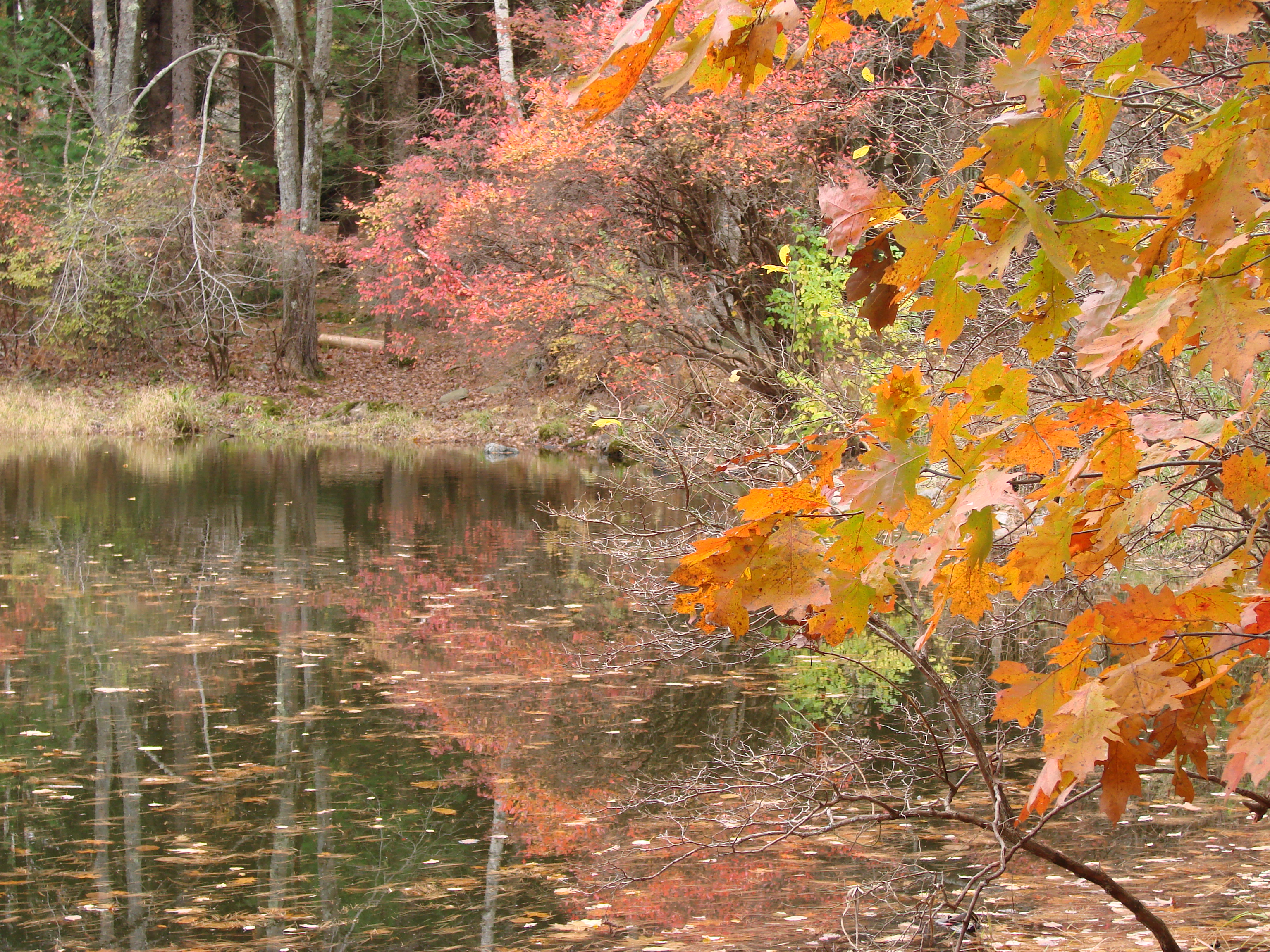
Reflections of the late Autumn

Quabbin Resevoir 1-6-2013

Quabbin Resevoir 1-6-2013

Double Rainbow

Kayaking, Swift river
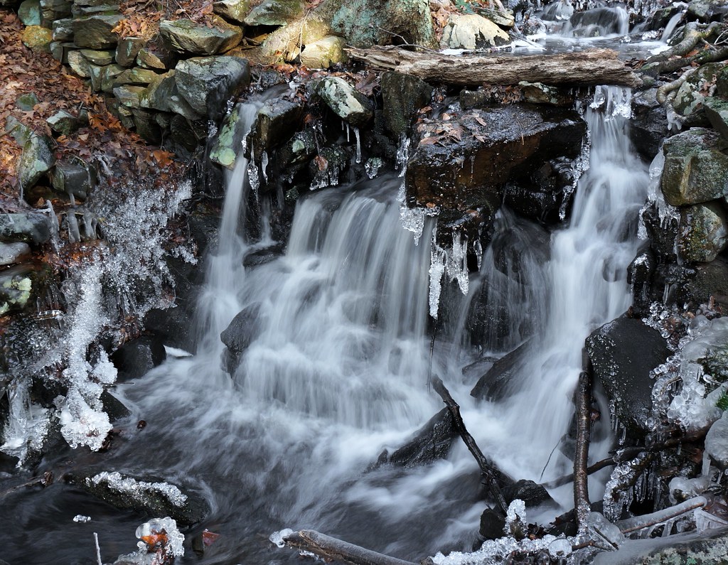
that little waterfall
2006 Early oct
Topographic Map of Robinson Road, Robinson Rd, Palmer, MA, USA
Find elevation by address:

Places near Robinson Road, Robinson Rd, Palmer, MA, USA:
1 Pioneer Dr
Park St, Palmer, MA, USA
15 Country Ln
6 Whalen St
Beebe Road
74 Monson Rd
1341 Dunhamtown Brimfield Rd
46 Lyman Barnes Rd
Palmer
1382 Main St
1110 Dunhamtown Brimfield Rd
1109 Dunhamtown Brimfield Rd
1141 Dunhamtown Brimfield Rd
1141 Dunhamtown Brimfield Rd
Monson Center
Steerage Rock
114 E Hill Rd
3 Macomber Rd
Monson
5 High St
Recent Searches:
- Elevation of Corso Fratelli Cairoli, 35, Macerata MC, Italy
- Elevation of Tallevast Rd, Sarasota, FL, USA
- Elevation of 4th St E, Sonoma, CA, USA
- Elevation of Black Hollow Rd, Pennsdale, PA, USA
- Elevation of Oakland Ave, Williamsport, PA, USA
- Elevation of Pedrógão Grande, Portugal
- Elevation of Klee Dr, Martinsburg, WV, USA
- Elevation of Via Roma, Pieranica CR, Italy
- Elevation of Tavkvetili Mountain, Georgia
- Elevation of Hartfords Bluff Cir, Mt Pleasant, SC, USA