Elevation of Robertson Road, Robertson Rd, Peak Hill NSW, Australia
Location: Australia > New South Wales > Parkes Shire Council > Peak Hill >
Longitude: 148.091373
Latitude: -32.804290
Elevation: 266m / 873feet
Barometric Pressure: 98KPa
Elevation Map:
Satellite Map:
Related Photos:
Peak Hill
Peak Hill
Alectown West
Near Mickibri
Peak_Hill-014.jpg
DSC02606.JPG
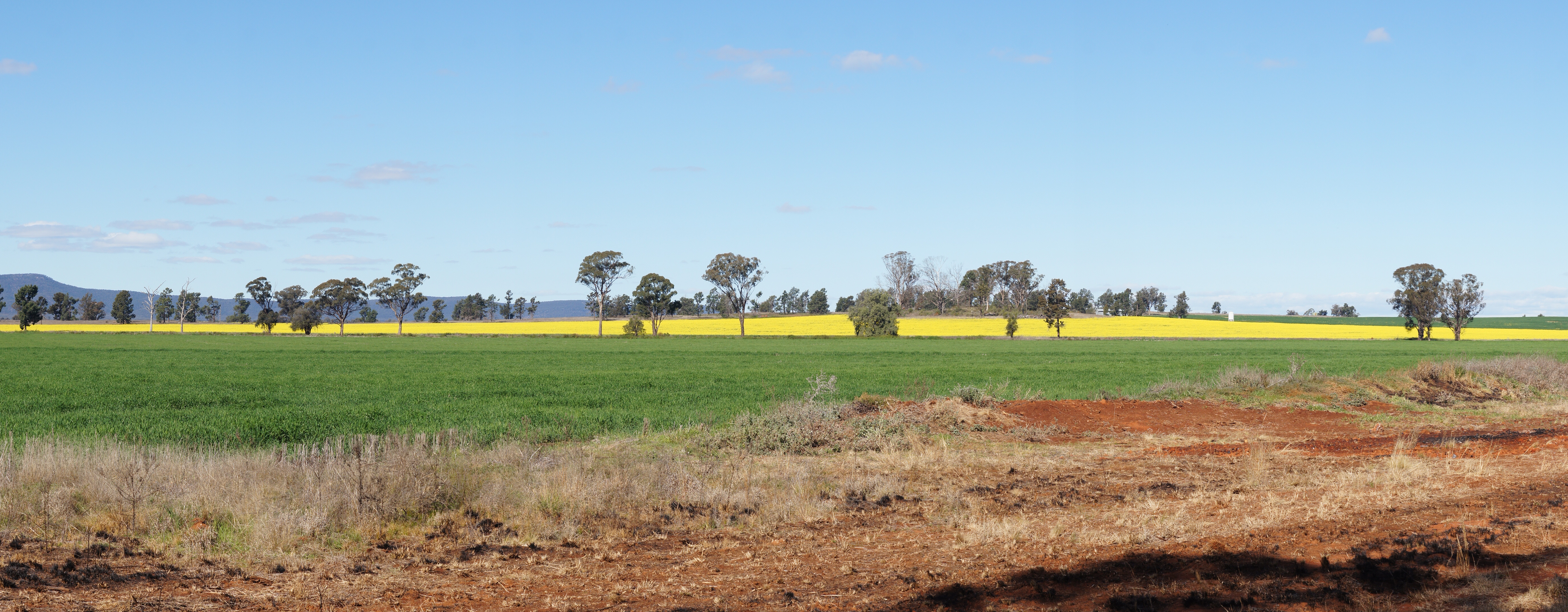
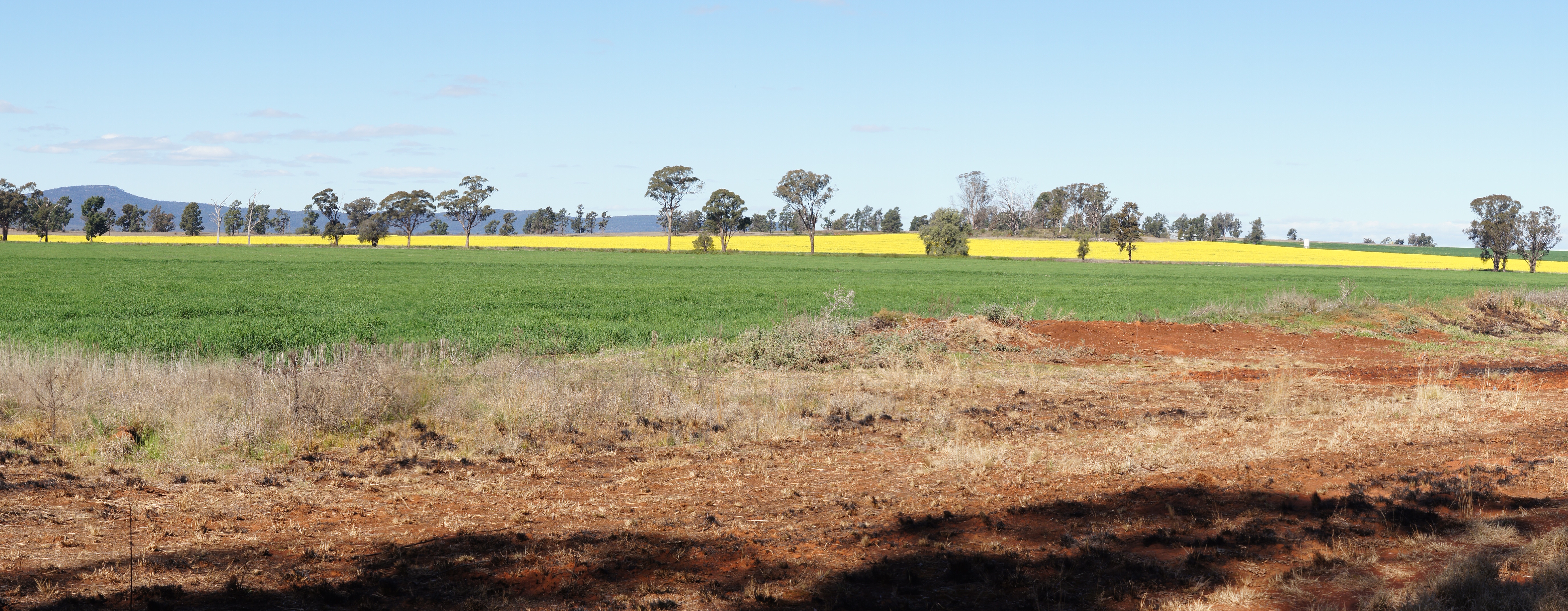
Parkes Canola #1
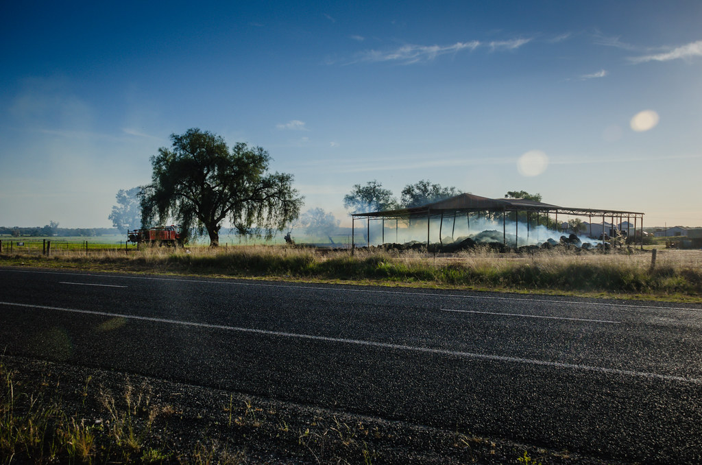
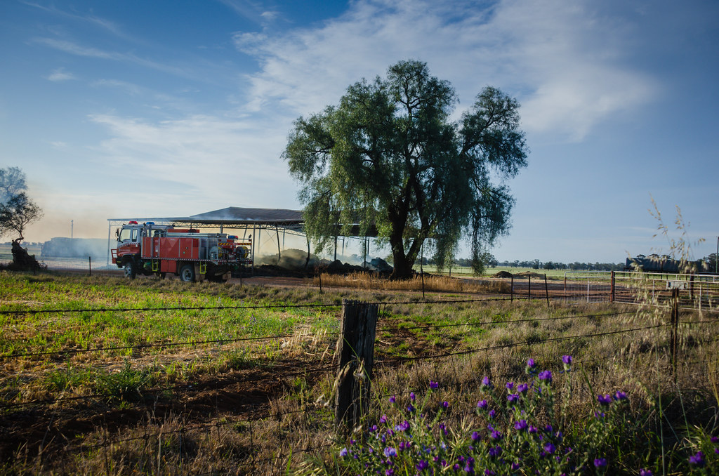
Burn Off
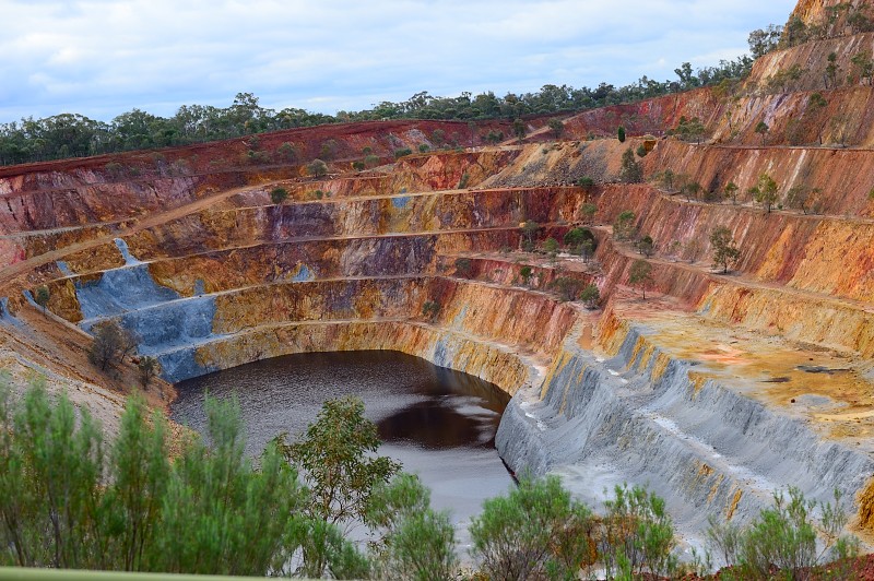
Peak Hill gold mine, NSW, Australia
DSC02604.JPG
Topographic Map of Robertson Road, Robertson Rd, Peak Hill NSW, Australia
Find elevation by address:

Places near Robertson Road, Robertson Rd, Peak Hill NSW, Australia:
Peak Hill
103 Caswell St
Bogan River
Parkes Shire Council
243 Back Trundle Rd
5 Miller St
Parkes
1 Thornbury St
17 Thornbury St
31 Alluvial St
47 Thornbury St
77 Thornbury St
23 Lawson St
87 Thornbury St
Lachlan Health Service-parkes Hospital
Trundle
44 Brookview St
Forbes
Forbes Shire Council
Molong
Recent Searches:
- Elevation of Corso Fratelli Cairoli, 35, Macerata MC, Italy
- Elevation of Tallevast Rd, Sarasota, FL, USA
- Elevation of 4th St E, Sonoma, CA, USA
- Elevation of Black Hollow Rd, Pennsdale, PA, USA
- Elevation of Oakland Ave, Williamsport, PA, USA
- Elevation of Pedrógão Grande, Portugal
- Elevation of Klee Dr, Martinsburg, WV, USA
- Elevation of Via Roma, Pieranica CR, Italy
- Elevation of Tavkvetili Mountain, Georgia
- Elevation of Hartfords Bluff Cir, Mt Pleasant, SC, USA