Elevation of Roberts Rd, Monroe, VA, USA
Location: United States > Virginia > Amherst County > > Monroe >
Longitude: -79.309215
Latitude: 37.6452982
Elevation: 405m / 1329feet
Barometric Pressure: 97KPa
Elevation Map:
Satellite Map:
Related Photos:

James River - Blue Ridge Parkway (Virginia)

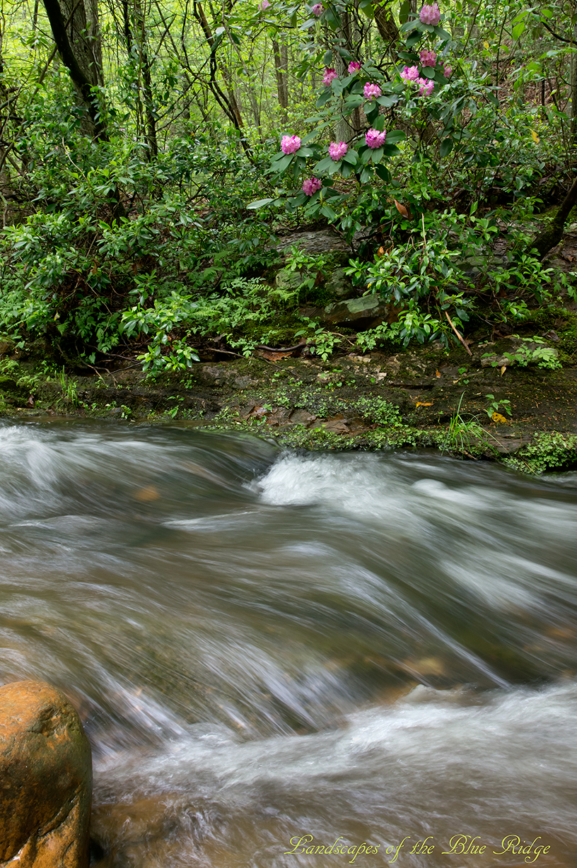
Full of Spring
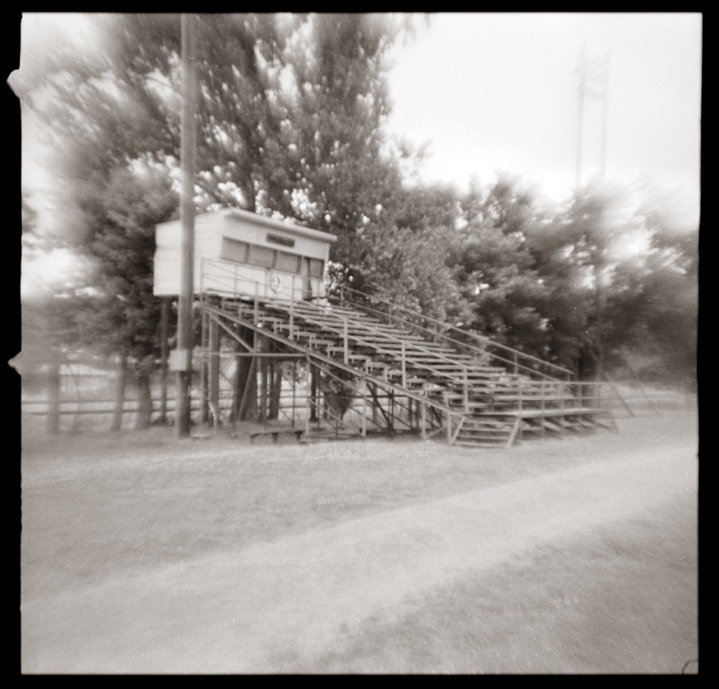
Viewing stand
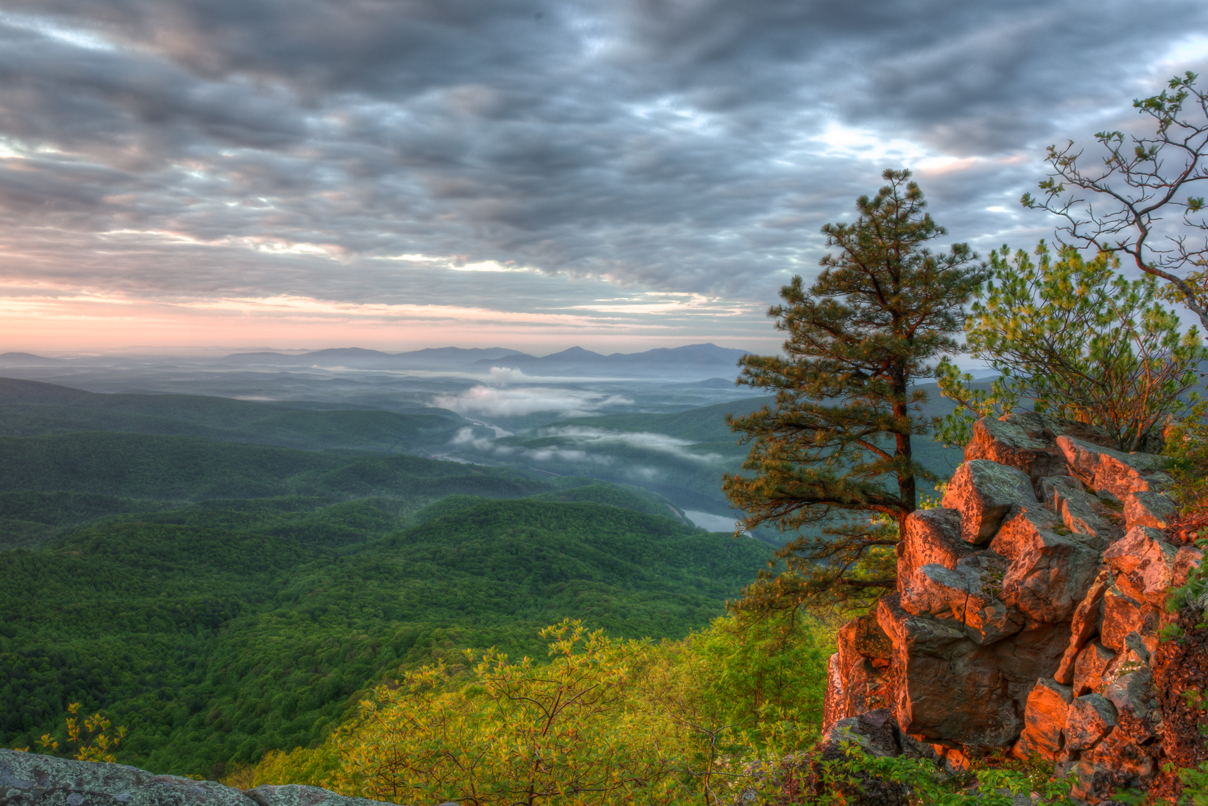
Fullers Rocks (Little Rocky Row)

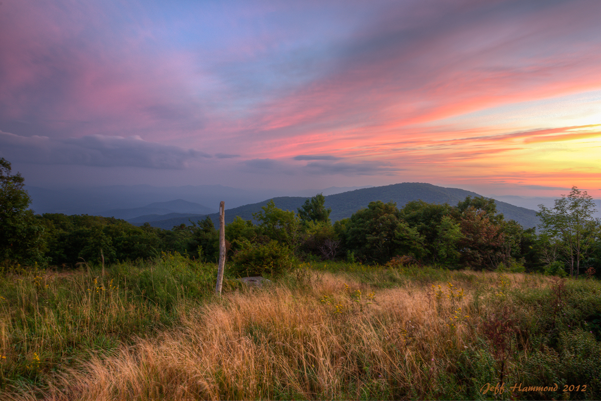
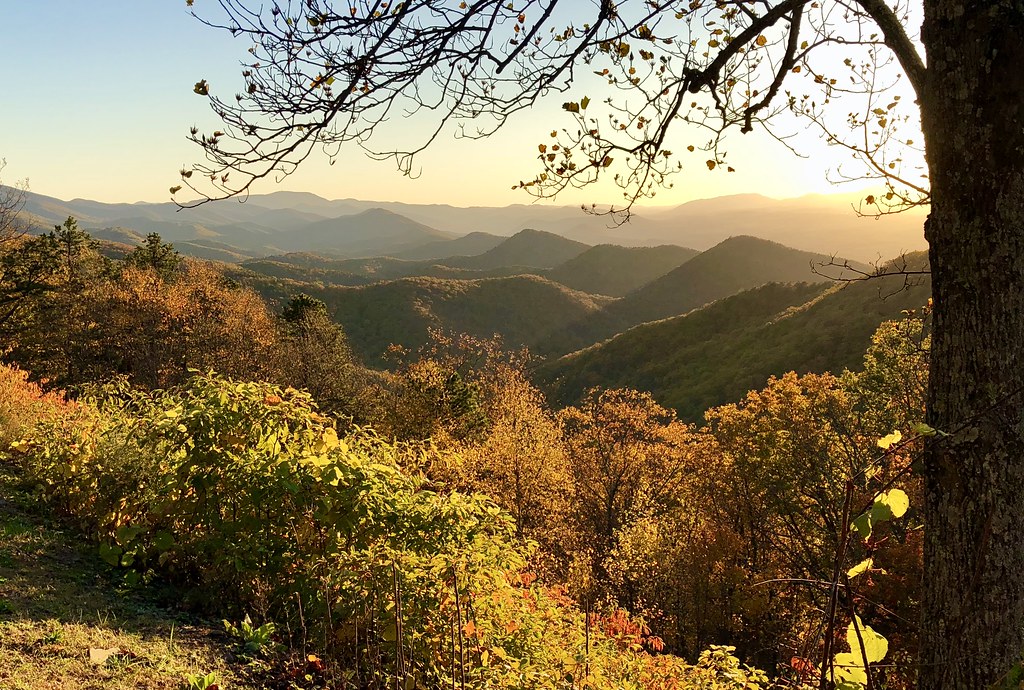
Buena Vista Overlook sunset panorama

Anyone for Comet Watching?

Double Crested Cormorant documentation (Mountains-Valleys regional rarity)

View from Sandidges, June 2018
Sunset on the Appalachian Trail

View from the Parkway 8561

View of W4V/BR-006 - Cole Mtn
view of Buena Vista from Blue Ridge Parkway

Otter Creek Reflections - Blue Ridge Parkway

2008.10.25.0997 Family Home Destroyed

Confluence of the James and the Maury

Light Rays

View from Cold Mt

James River

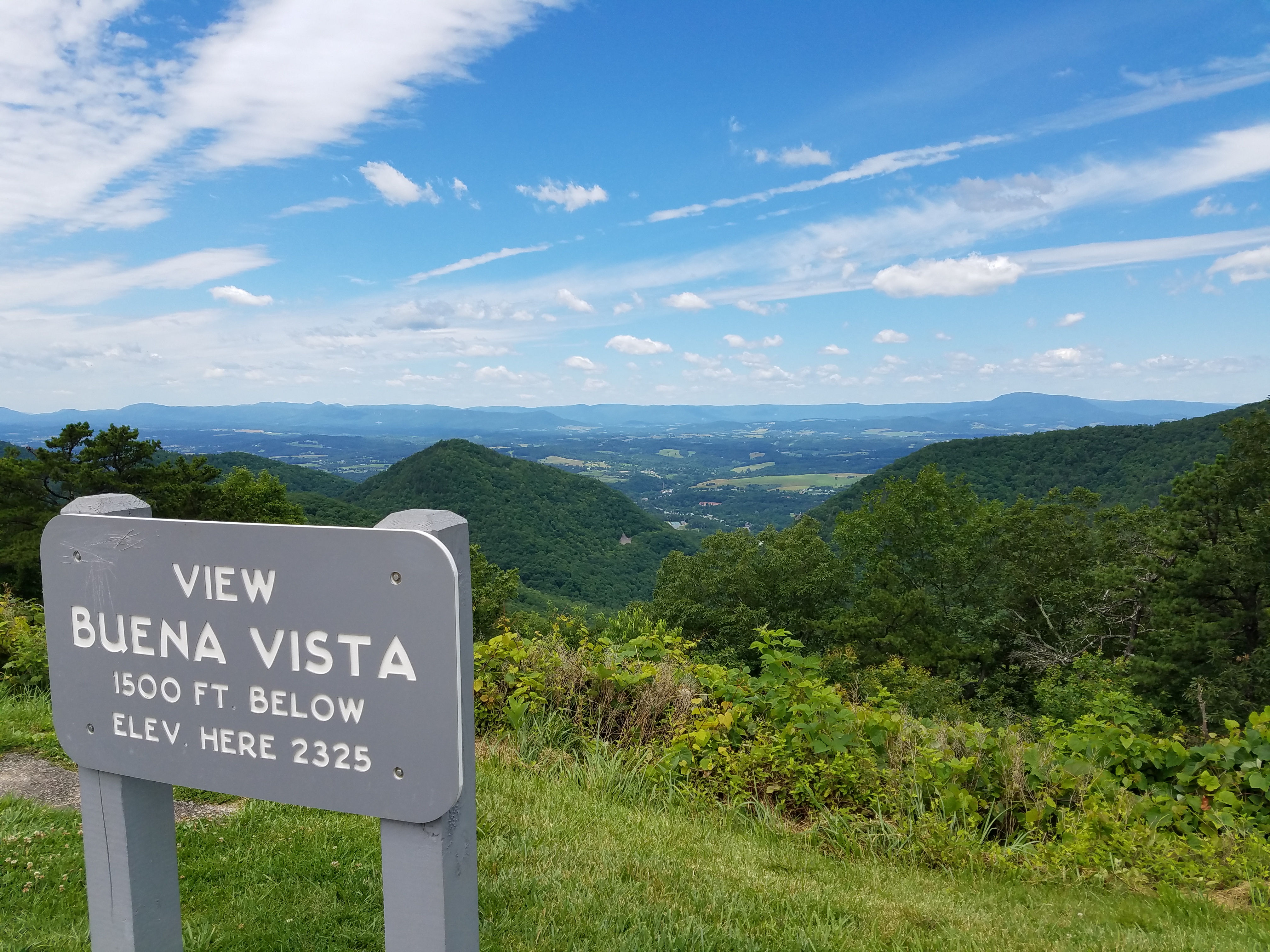
Sign marking Buena Vista
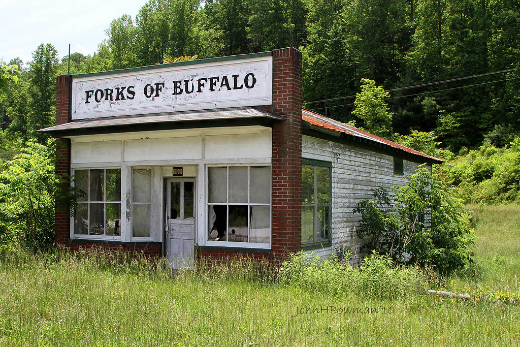
Forks of Buffalo - Virginia

View from the James River Foot Bridge

Sunset over Blue Ridge

Otter Creek-Explore

Hills Along the James River
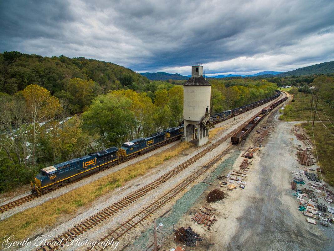
T102 at Balcony Falls

Maury River Pass
Blue Ridge Parkway

mountains hidden in low clouds

Otter Creek
Otter Creek

Small Waterfall Near Panther Falls

Rocky Row Run on the AT

Mount Pleasant Sunset

Cattle, Sandidges June 2018

Brown Mountain Creek

Away from the Sun
Topographic Map of Roberts Rd, Monroe, VA, USA
Find elevation by address:

Places near Roberts Rd, Monroe, VA, USA:
157 White Pine Dr
162 Hemlock Trail
378 Mountain Top Dr
Mountain Top Drive
434 Stinnett Rd
Target Hill
2544 Spruce Ave
2207 Chestnut Ave
Buena Vista
Kersey Road
774 Longhollow Rd
1 Monte Carlo Ln
40 Reese Ridge Ln
151 Samuetta Ln
233 Trimble Trail
355 Panther Mountain Rd
Glasgow
255 Old Oaks Ln
850 Wesley Chapel Rd
Buffalo
Recent Searches:
- Elevation of Corso Fratelli Cairoli, 35, Macerata MC, Italy
- Elevation of Tallevast Rd, Sarasota, FL, USA
- Elevation of 4th St E, Sonoma, CA, USA
- Elevation of Black Hollow Rd, Pennsdale, PA, USA
- Elevation of Oakland Ave, Williamsport, PA, USA
- Elevation of Pedrógão Grande, Portugal
- Elevation of Klee Dr, Martinsburg, WV, USA
- Elevation of Via Roma, Pieranica CR, Italy
- Elevation of Tavkvetili Mountain, Georgia
- Elevation of Hartfords Bluff Cir, Mt Pleasant, SC, USA