Elevation of Roanoke Trail, Edenton, NC, USA
Location: United States > North Carolina > Chowan County > 1, Edenton > Edenton >
Longitude: -76.713697
Latitude: 36.2134718
Elevation: 9m / 30feet
Barometric Pressure: 101KPa
Elevation Map:
Satellite Map:
Related Photos:

126/365/2013 Stalagmite

Sky and Earth
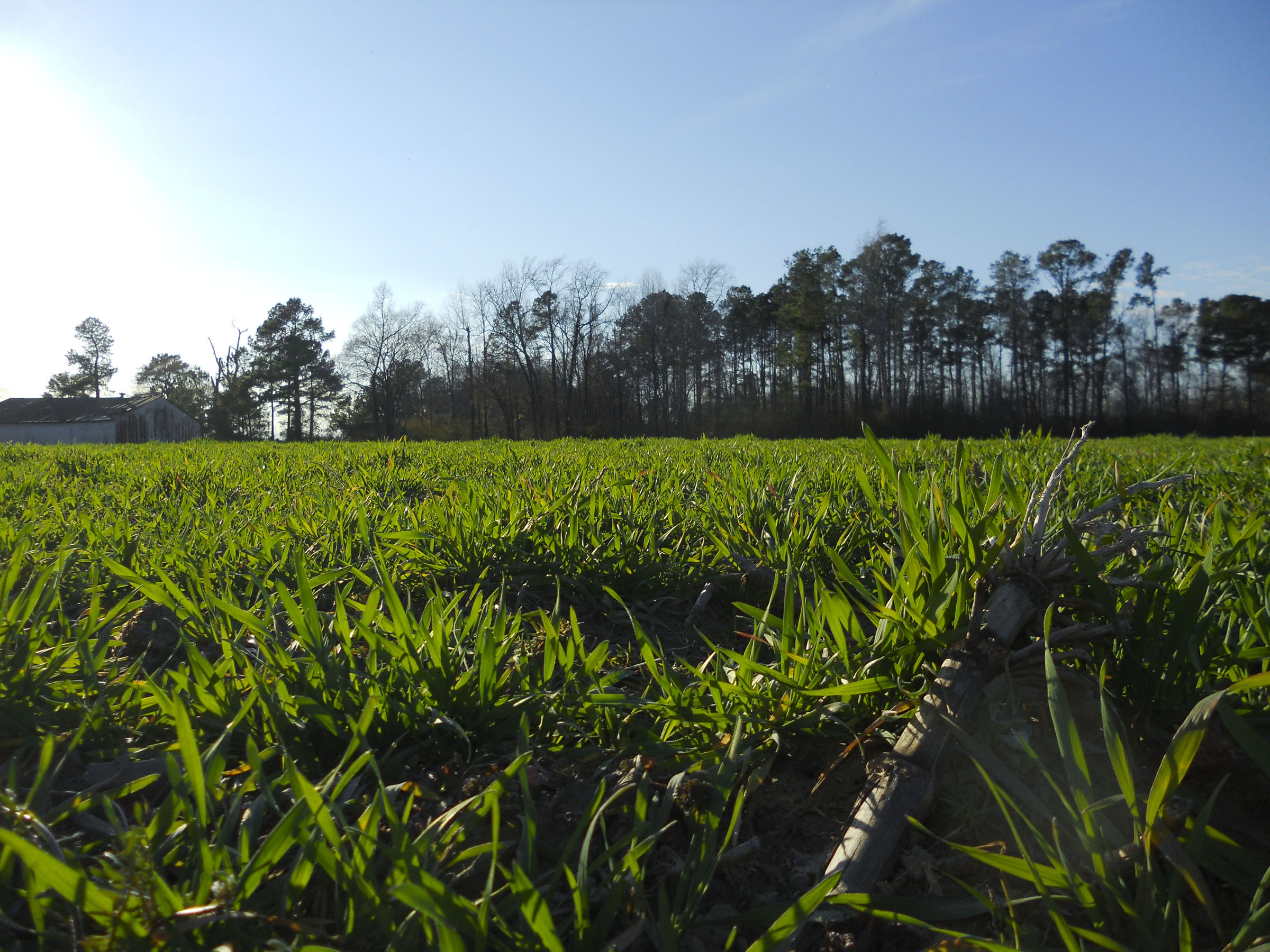
Willow Branch Field

R&C-170909-007

R&C-170909-018

R&C-170909-029

R&C-170909-032

R&C-170909-052

153/365/2013 You've Waited A Long Time
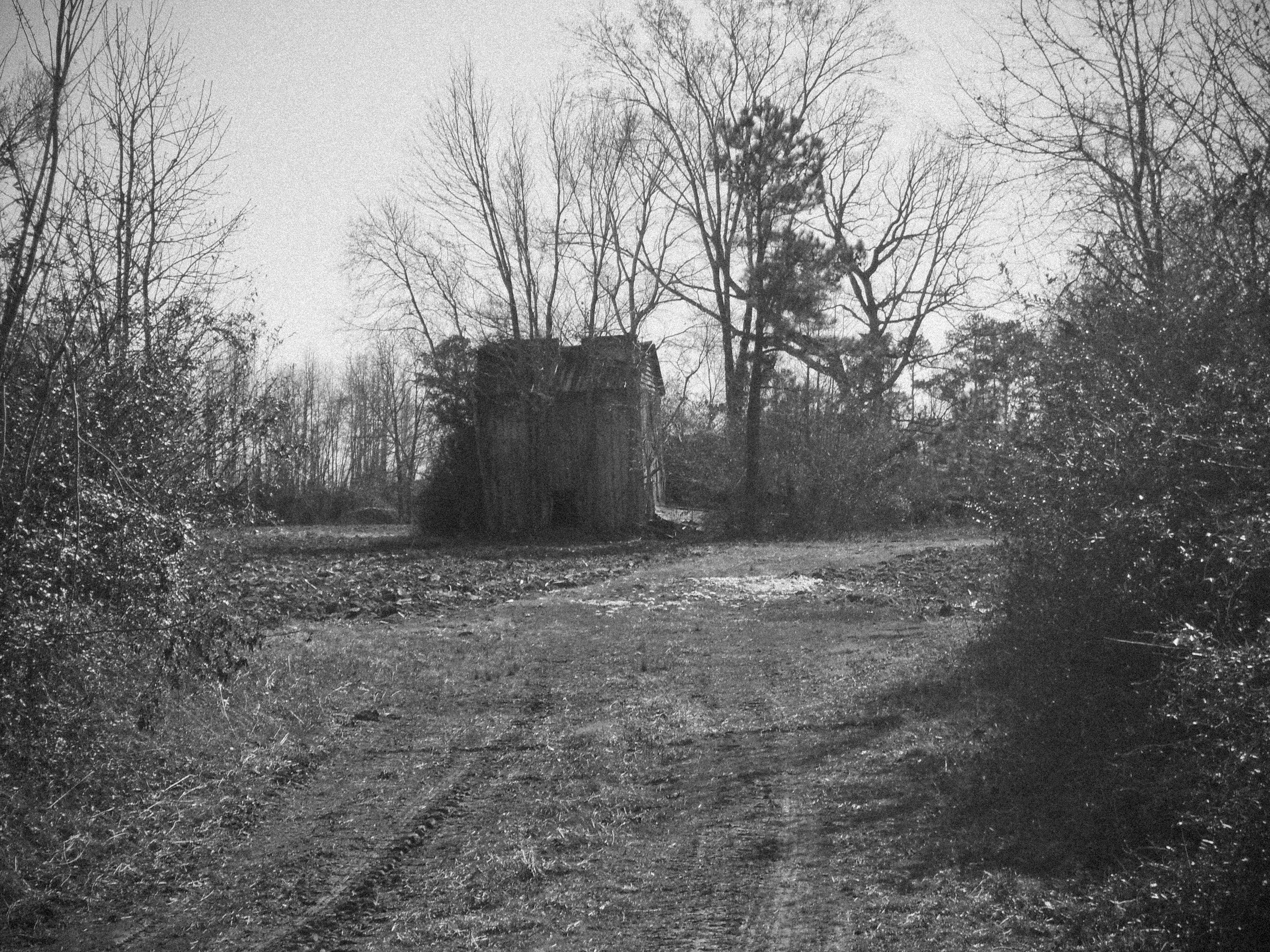
Store House near Willow Branch

R&C-170909-002

R&C-170909-004

R&C-170909-005

R&C-170909-006

R&C-170909-008

R&C-170909-010

R&C-170909-011

R&C-170909-012

R&C-170909-014

R&C-170909-015

R&C-170909-016

R&C-170909-019

R&C-170909-021

R&C-170909-022
Topographic Map of Roanoke Trail, Edenton, NC, USA
Find elevation by address:

Places near Roanoke Trail, Edenton, NC, USA:
405 Chowan Trail
211 Okisco Trail
218 Powhatan Trail
Winnebago Trail
98 Bandon Rd, Edenton, NC, USA
903 Arrowhead Trail
1101 Arrowhead Trail
217 Ottawa Trail
102 Shoshone Trail
1612 Arapahoe Trail
1811 Arapahoe Trail
123 Wingfield Rd
2606b Nc-45
204b Joyner Rd
2800 Virginia Rd
2845 Virginia Rd
Cannons Ferry Rd, Tyner, NC, USA
319 Pawnee Rd
Harrellsville
Harrellsville
Recent Searches:
- Elevation of Corso Fratelli Cairoli, 35, Macerata MC, Italy
- Elevation of Tallevast Rd, Sarasota, FL, USA
- Elevation of 4th St E, Sonoma, CA, USA
- Elevation of Black Hollow Rd, Pennsdale, PA, USA
- Elevation of Oakland Ave, Williamsport, PA, USA
- Elevation of Pedrógão Grande, Portugal
- Elevation of Klee Dr, Martinsburg, WV, USA
- Elevation of Via Roma, Pieranica CR, Italy
- Elevation of Tavkvetili Mountain, Georgia
- Elevation of Hartfords Bluff Cir, Mt Pleasant, SC, USA