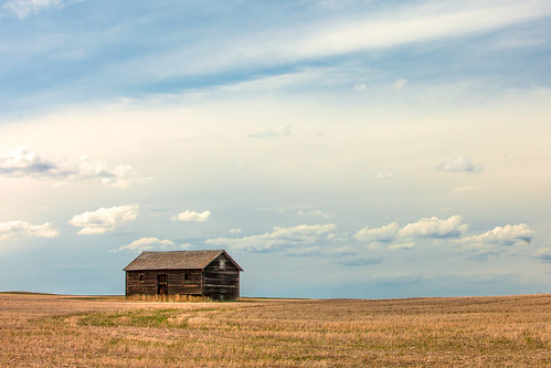
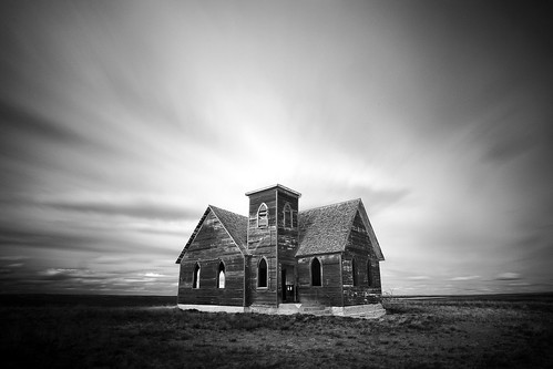
Elevation of Road N, Havre, MT, USA
Location: United States > Montana > Hill County > Havre >
Longitude: -110.21548
Latitude: 48.737097
Elevation: 835m / 2739feet
Barometric Pressure: 92KPa
Related Photos:
Topographic Map of Road N, Havre, MT, USA
Find elevation by address:

Places near Road N, Havre, MT, USA:
Hill County
66 Ranch
1333 County Rd 800 Nw
Beaver Creek
US-2, Havre, MT, USA
Box Elder
Herron
Inverness
West Havre
46683 Crowe Ln
Big Sandy
Boneau
Azure
Unnamed Road
Chouteau County
Loma
Fort Benton
43 Chase Hill Dr
43 Chase Hill Dr
Chase Hill Drive
Recent Searches:
- Elevation of Corso Fratelli Cairoli, 35, Macerata MC, Italy
- Elevation of Tallevast Rd, Sarasota, FL, USA
- Elevation of 4th St E, Sonoma, CA, USA
- Elevation of Black Hollow Rd, Pennsdale, PA, USA
- Elevation of Oakland Ave, Williamsport, PA, USA
- Elevation of Pedrógão Grande, Portugal
- Elevation of Klee Dr, Martinsburg, WV, USA
- Elevation of Via Roma, Pieranica CR, Italy
- Elevation of Tavkvetili Mountain, Georgia
- Elevation of Hartfords Bluff Cir, Mt Pleasant, SC, USA


