Elevation map of Rivière-Koksoak, QC, Canada
Location: Canada > Québec > Nord-du-québec >
Longitude: -69.200971
Latitude: 57.3765663
Elevation: 100m / 328feet
Barometric Pressure: 100KPa
Elevation Map:
Satellite Map:
Related Photos:

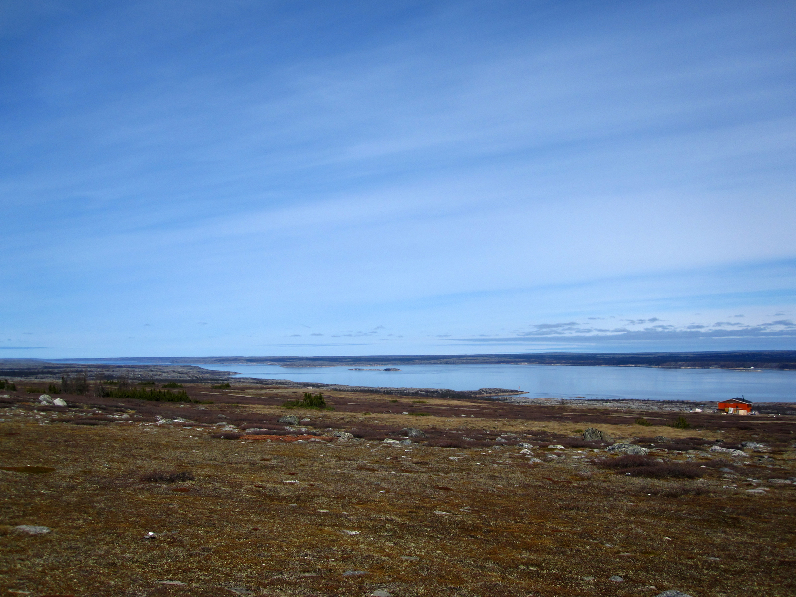
Uninhabited Wilderness

Riviere-Koksoak River

Au bord de la rivière Koksoak à Kuujjuaq.

Au bord de la rivière Koksoak
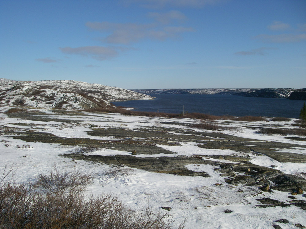
Rivière Koksoak
2007-10-29 080

Kuujjuak rivière Koksoak & étang

2007-11-13 019

Kuujjuak rivière Koksoak
Topographic Map of Rivière-Koksoak, QC, Canada
Find elevation by address:

Places in Rivière-Koksoak, QC, Canada:
Places near Rivière-Koksoak, QC, Canada:
Recent Searches:
- Elevation of Corso Fratelli Cairoli, 35, Macerata MC, Italy
- Elevation of Tallevast Rd, Sarasota, FL, USA
- Elevation of 4th St E, Sonoma, CA, USA
- Elevation of Black Hollow Rd, Pennsdale, PA, USA
- Elevation of Oakland Ave, Williamsport, PA, USA
- Elevation of Pedrógão Grande, Portugal
- Elevation of Klee Dr, Martinsburg, WV, USA
- Elevation of Via Roma, Pieranica CR, Italy
- Elevation of Tavkvetili Mountain, Georgia
- Elevation of Hartfords Bluff Cir, Mt Pleasant, SC, USA