Elevation of Riverview, WI, USA
Location: United States > Wisconsin > Oconto County >
Longitude: -88.426074
Latitude: 45.2510469
Elevation: 324m / 1063feet
Barometric Pressure: 97KPa
Elevation Map:
Satellite Map:
Related Photos:

On the Big Steel Fire Tower in the Great Green Forest

Chief Oshkosh - 3/4 view

Top of the Tower

Lake View

Top of the Tower

Top of the Tower

Top of the Tower

View from the Top

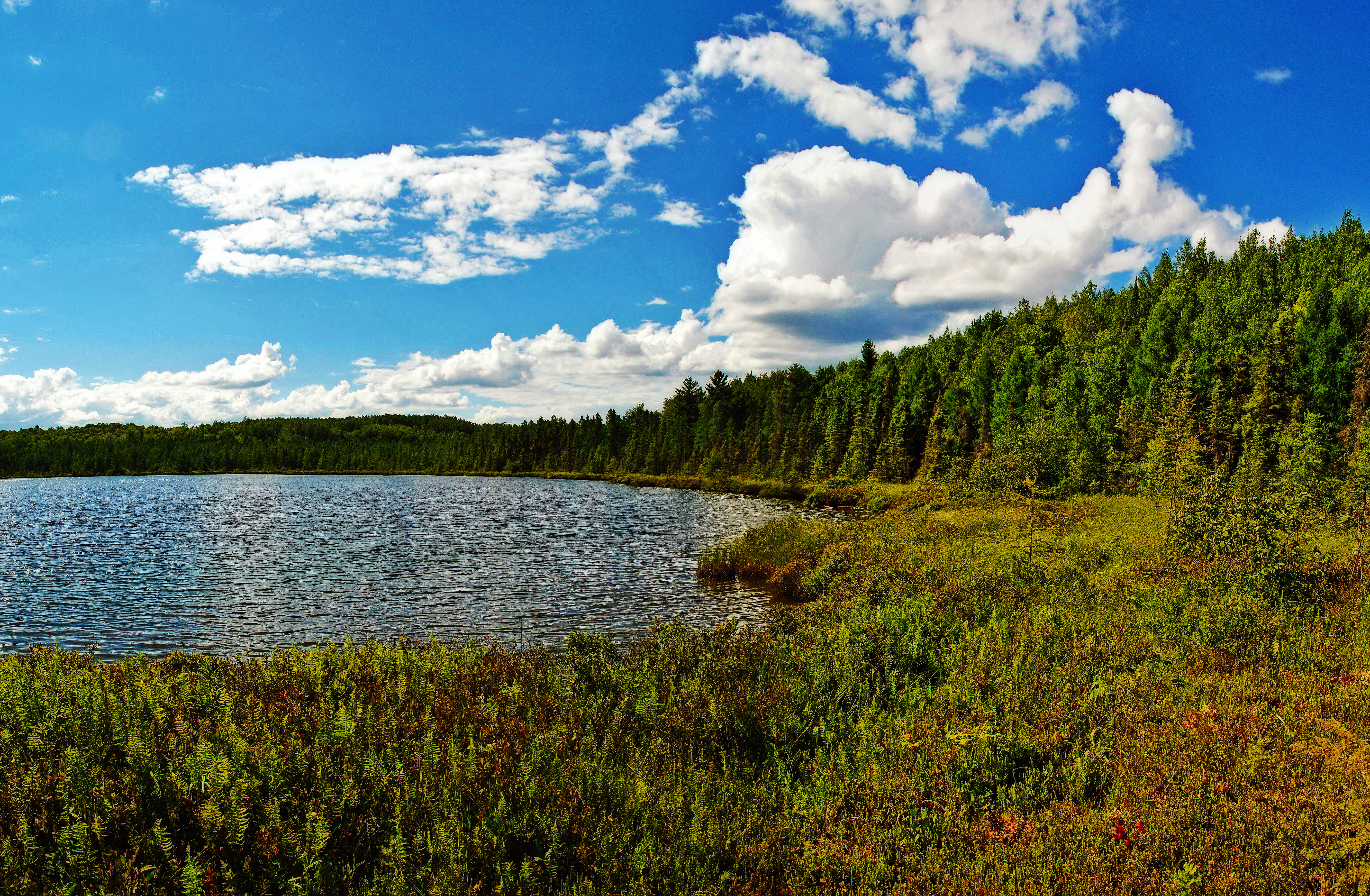
River View

River View

River View

View from the Mountain Lookout Tower

Lake View

View from the Mountain Lookout Tower

View from the Mountain Lookout Tower

View from the Mountain Lookout Tower

CNNF_2016-10-13_Lakewood_CTY_W2

This Must Be The Way

Bear Paw Lake

chute park campground

black cat

The Perfect Summer Day in Happy Land

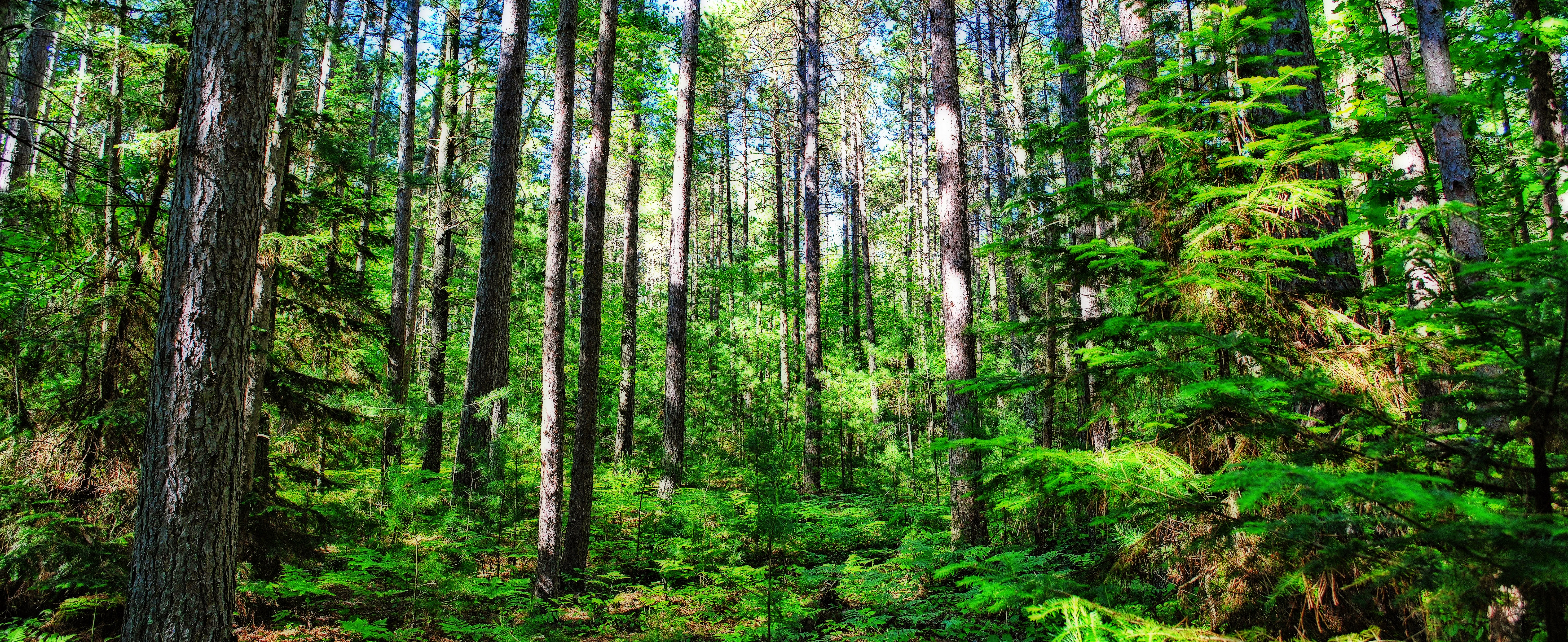
landscape, nicolet national forest

landscape, oconto county

chute park campground

Tar Dam Pines State Natural Area

Glocke Lake State Natural Area
Glocke Lake State Natural Area
Sunrise Lake State Natural Area
Cathedral Pines State Natural Area

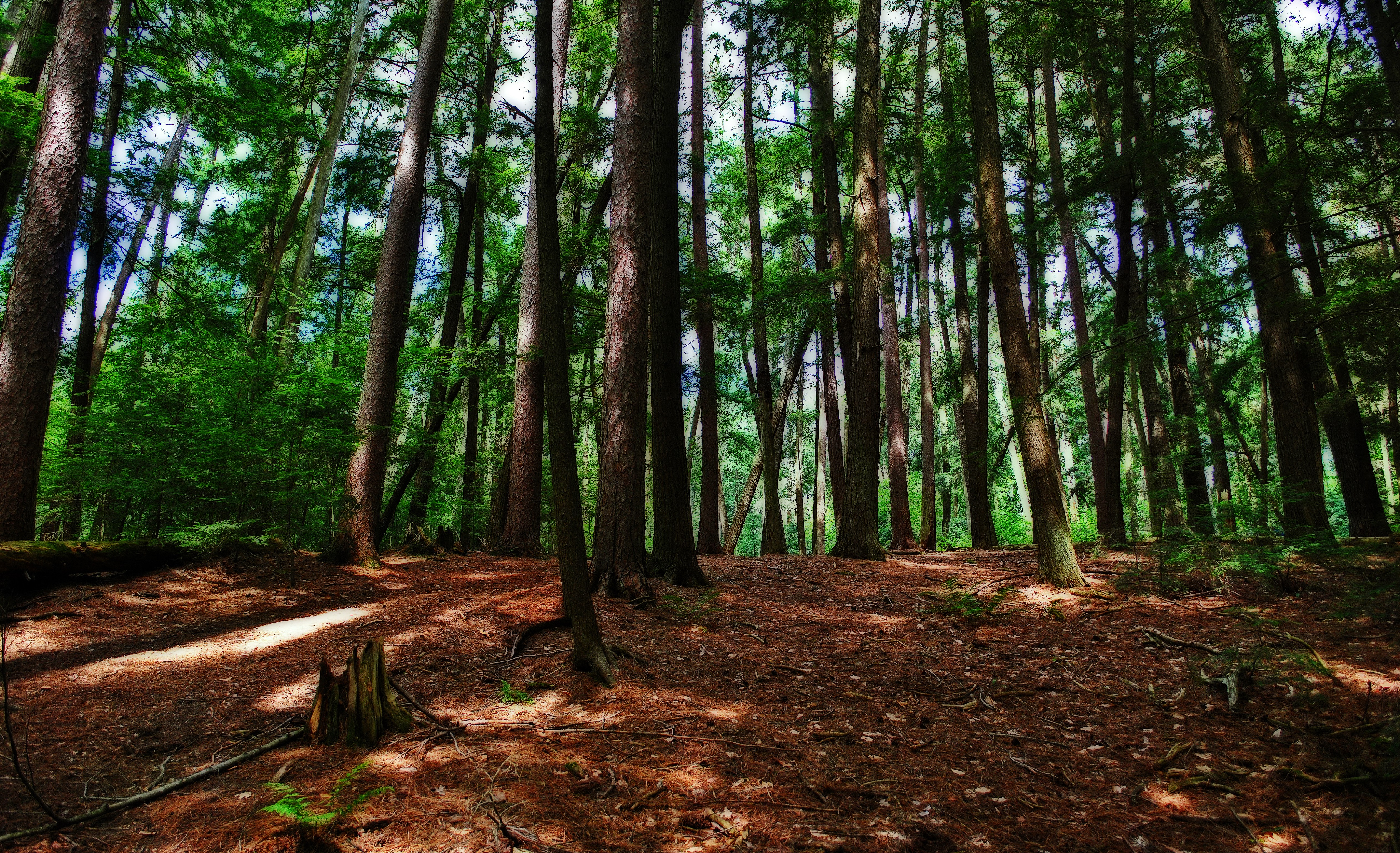
Battle Creek Hemlocks State Natural Area
Glocke Lake State Natural Area

Forbes Creek Old-Growth Site

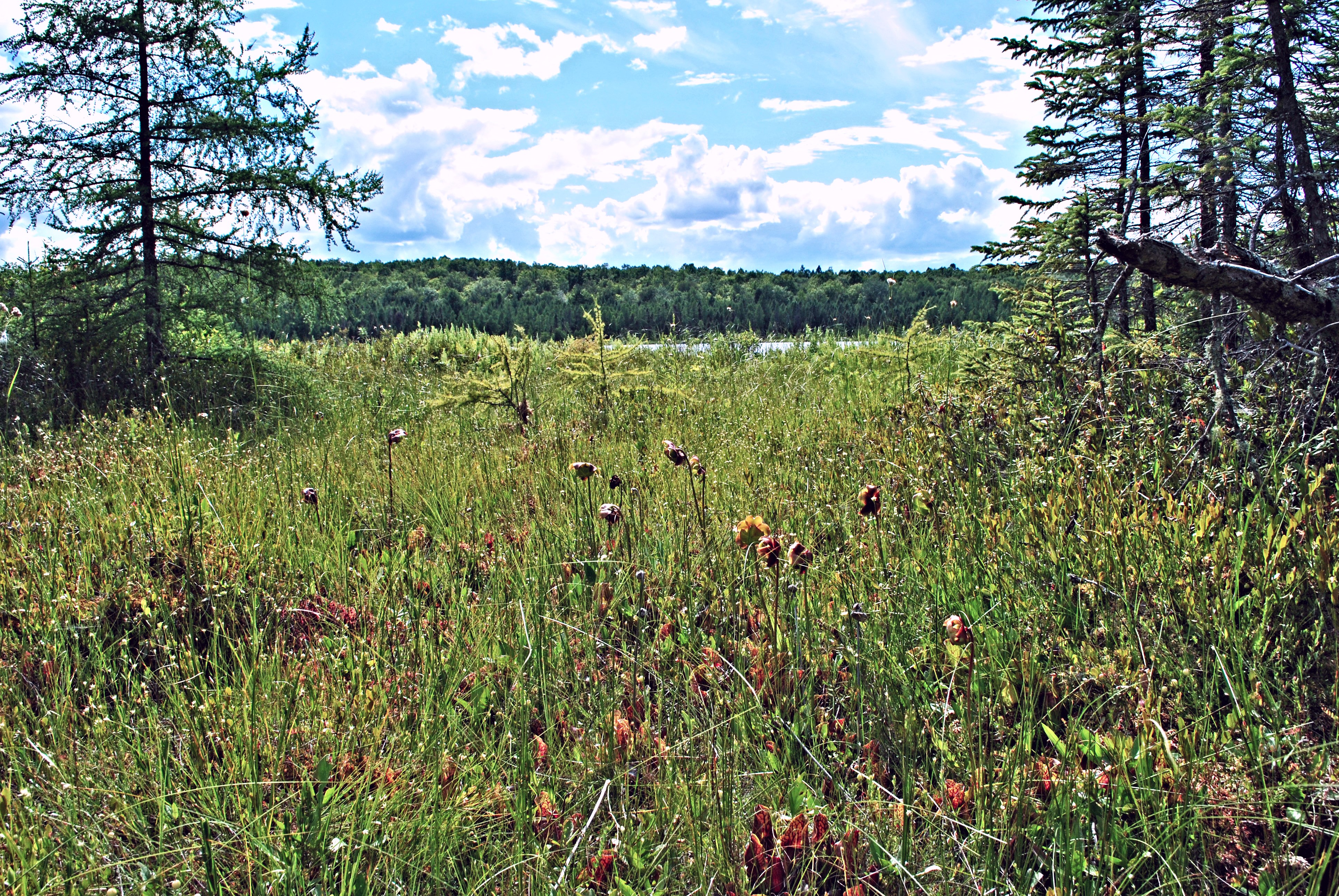
Thunder River Swamp State Natural Area
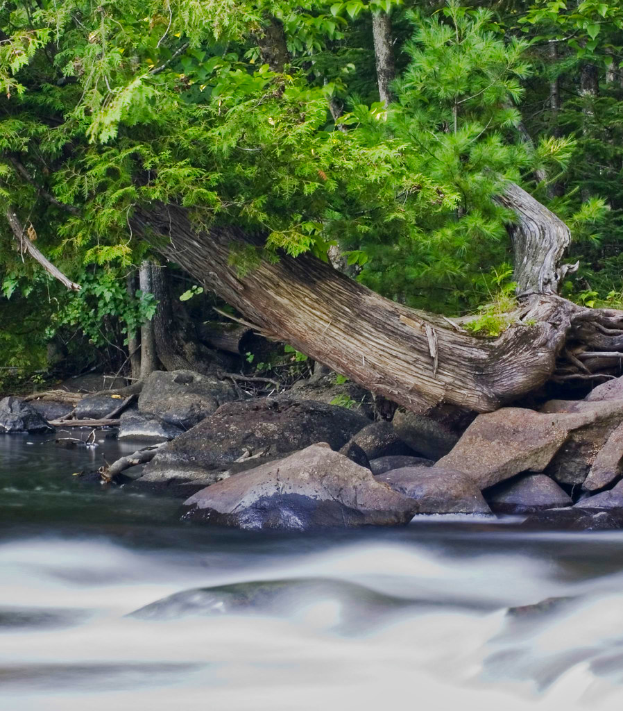
Tree over Oconto River
Topographic Map of Riverview, WI, USA
Find elevation by address:

Places in Riverview, WI, USA:
Places near Riverview, WI, USA:
National Forest Road 2297
WI-32, Mountain, WI, USA
Mountain
13590 Waubee Lake Rd
Lakewood
Mountain
13698 Us Frst Service Rd 2067
St Mary Catholic Church
Lakewood
Oconto County Park Campground
South Big Island Lane
WI-32, Townsend, WI, USA
12845 N White Potato Lake Rd
Stephenson
Wabeno
12845 S White Potato Lake Rd
Brazeau
W12111 Camp 10 Rd
W11815 Eagle Rd
Co Hwy M, Suring, WI, USA
Recent Searches:
- Elevation of Corso Fratelli Cairoli, 35, Macerata MC, Italy
- Elevation of Tallevast Rd, Sarasota, FL, USA
- Elevation of 4th St E, Sonoma, CA, USA
- Elevation of Black Hollow Rd, Pennsdale, PA, USA
- Elevation of Oakland Ave, Williamsport, PA, USA
- Elevation of Pedrógão Grande, Portugal
- Elevation of Klee Dr, Martinsburg, WV, USA
- Elevation of Via Roma, Pieranica CR, Italy
- Elevation of Tavkvetili Mountain, Georgia
- Elevation of Hartfords Bluff Cir, Mt Pleasant, SC, USA