Elevation of Riverside, IA, USA
Location: United States > Iowa > Fremont County >
Longitude: -95.540729
Latitude: 40.8460789
Elevation: 307m / 1007feet
Barometric Pressure: 98KPa
Elevation Map:
Satellite Map:
Related Photos:

peonies, memorial day

maria, mike, & gypsy

heidi & maria

sawyer, with his ball
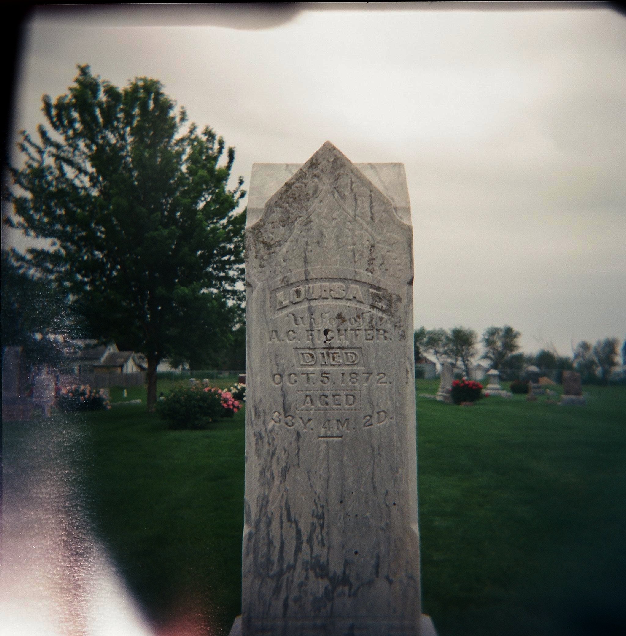
louisa e. corby

alice e. & infant
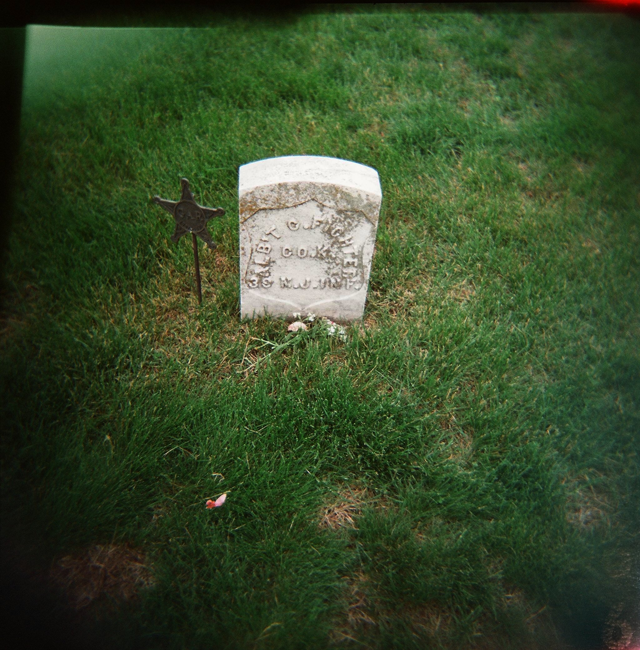
alb't c. fichter

lewis cleaners

fairview cemetery
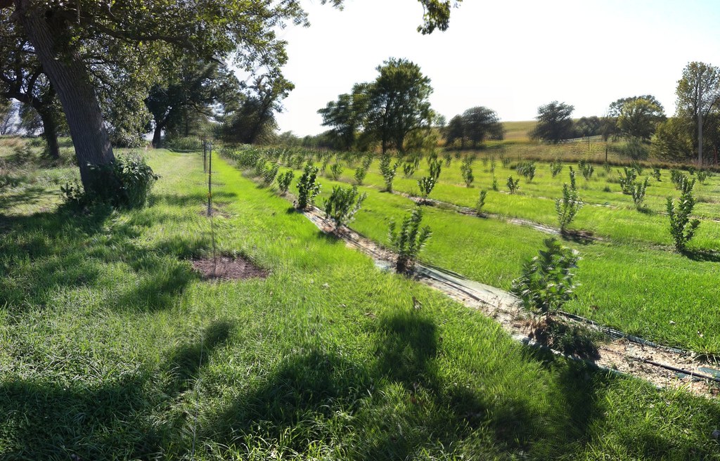
Aronia Berry Farm

Atomic looking cloud.2008
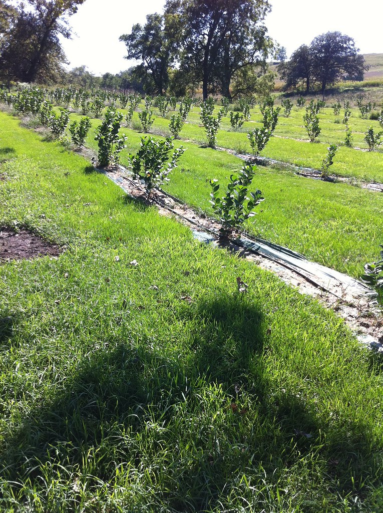
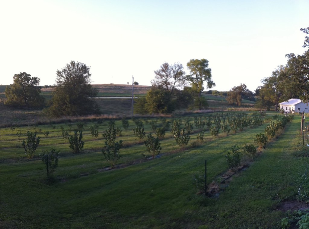
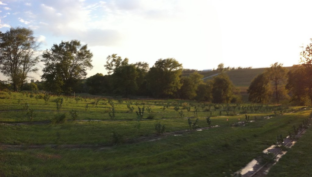
Field of Aronia Melanocarpa

Sunset in Iowa
Aronia Farm
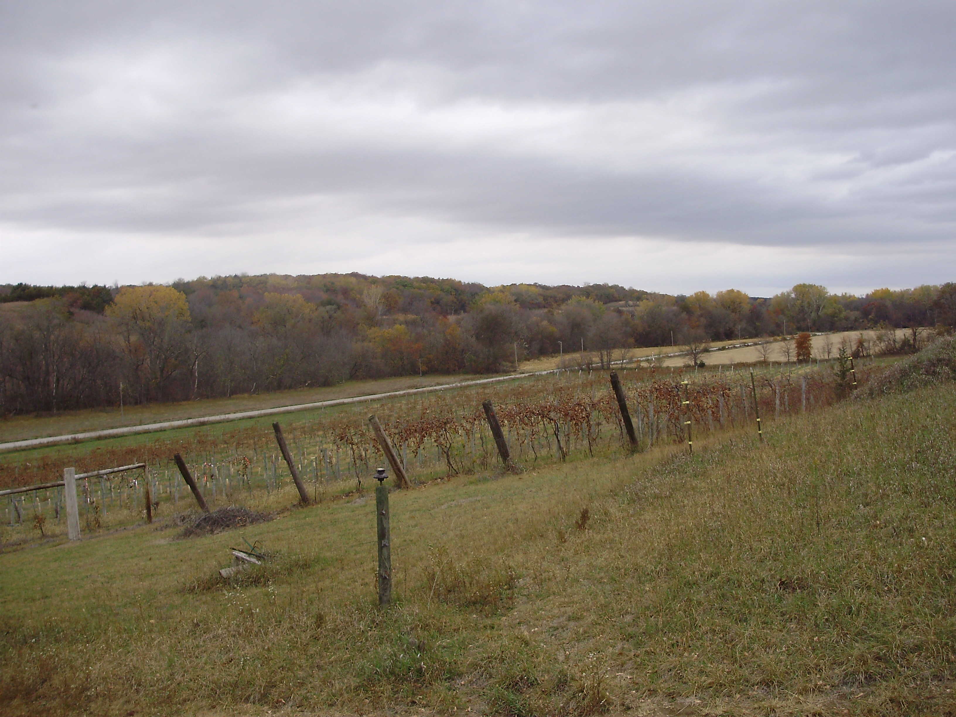
Sugar Clay Winery, Thurman, IA II
Rows of young aronia bushes

Top of Stoney Point (#671)

West Nishnabotna River

Wabash Trace 2010-04-27_011

farm life

Country Road (#672)
Topographic Map of Riverside, IA, USA
Find elevation by address:

Places in Riverside, IA, USA:
Places near Riverside, IA, USA:
S Main St, Randolph, IA, USA
Randolph
Monroe
Imogene
1st St, Imogene, IA, USA
Main St, Malvern, IA, USA
Malvern
29451 Jurd Ave
Emerson
Howland St, Emerson, IA, USA
Indian Creek
Ingraham
30 Myrtle St, Henderson, IA, USA
N 6th St, Red Oak, IA, USA
Silver Creek
Main St, Macedonia, IA, USA
7 E Main St, Treynor, IA, USA
Treynor
Montgomery County
Carson
Recent Searches:
- Elevation of Corso Fratelli Cairoli, 35, Macerata MC, Italy
- Elevation of Tallevast Rd, Sarasota, FL, USA
- Elevation of 4th St E, Sonoma, CA, USA
- Elevation of Black Hollow Rd, Pennsdale, PA, USA
- Elevation of Oakland Ave, Williamsport, PA, USA
- Elevation of Pedrógão Grande, Portugal
- Elevation of Klee Dr, Martinsburg, WV, USA
- Elevation of Via Roma, Pieranica CR, Italy
- Elevation of Tavkvetili Mountain, Georgia
- Elevation of Hartfords Bluff Cir, Mt Pleasant, SC, USA