Elevation of Riverside Farm Institute, Turnpike, Zambia, Zambia
Location: Zambia > Southern Province > Mazabuka >
Longitude: 28.26452
Latitude: -15.83698
Elevation: 997m / 3271feet
Barometric Pressure: 90KPa
Elevation Map:
Satellite Map:
Related Photos:
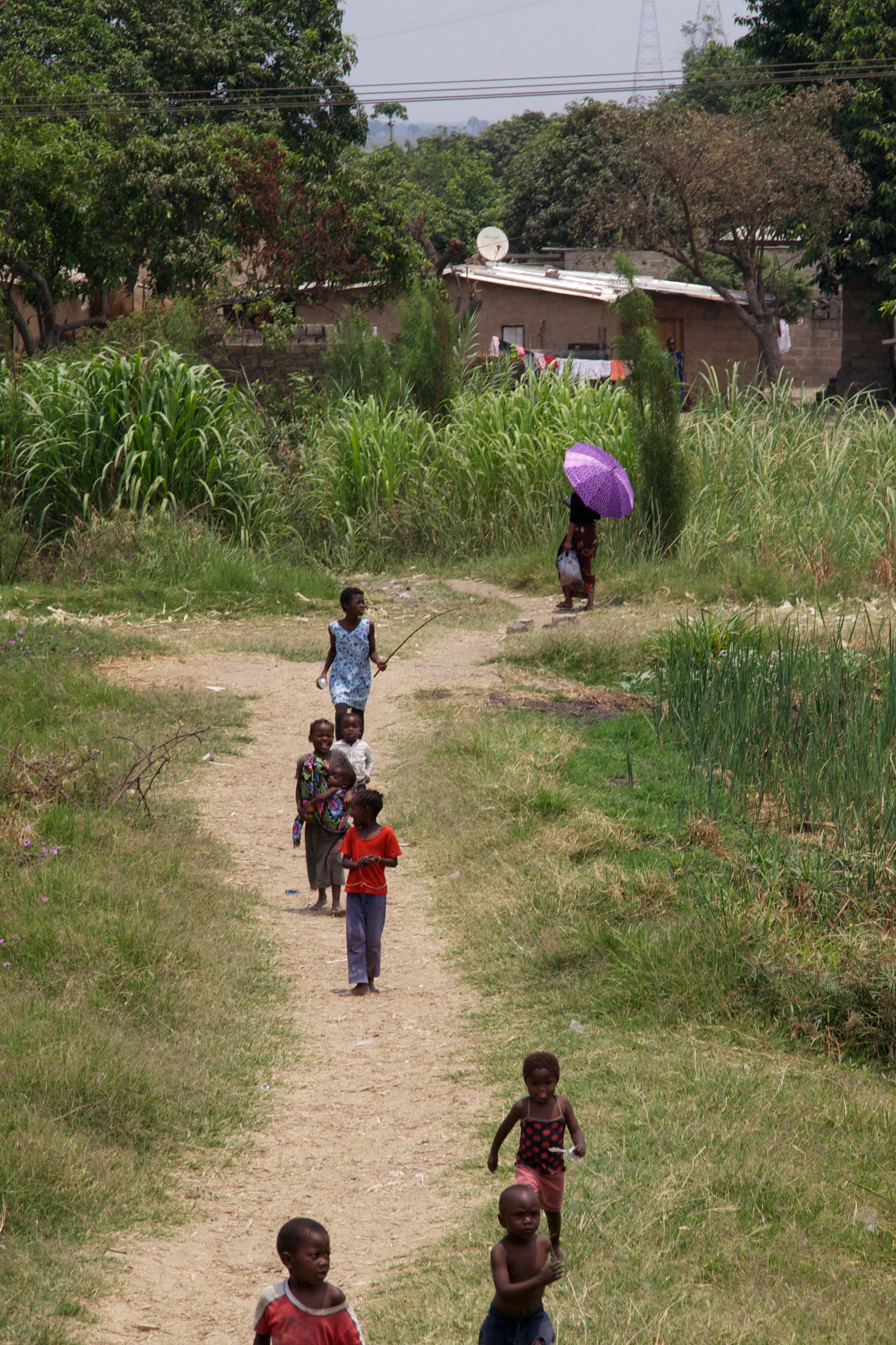
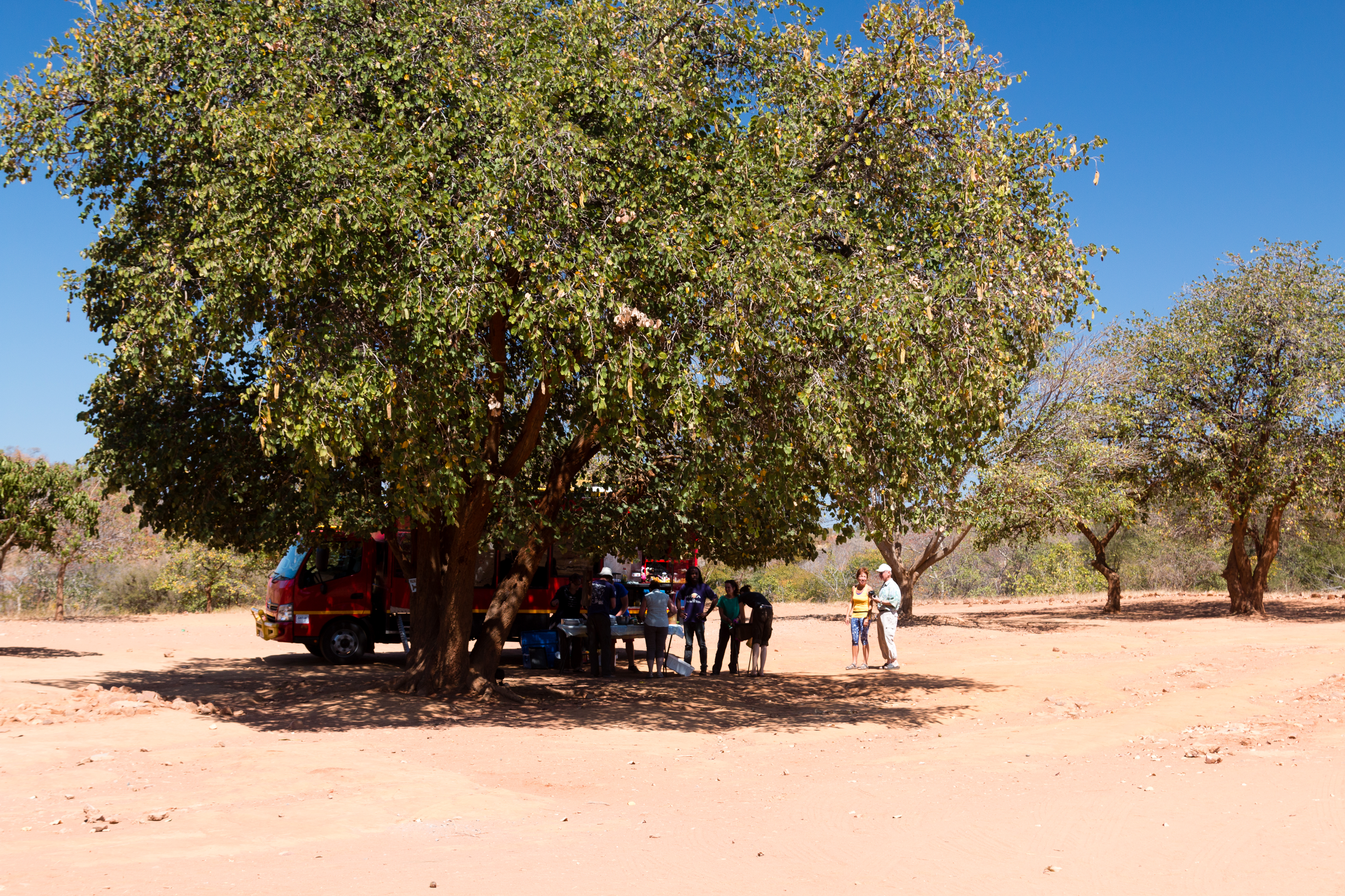
Purple umbrella
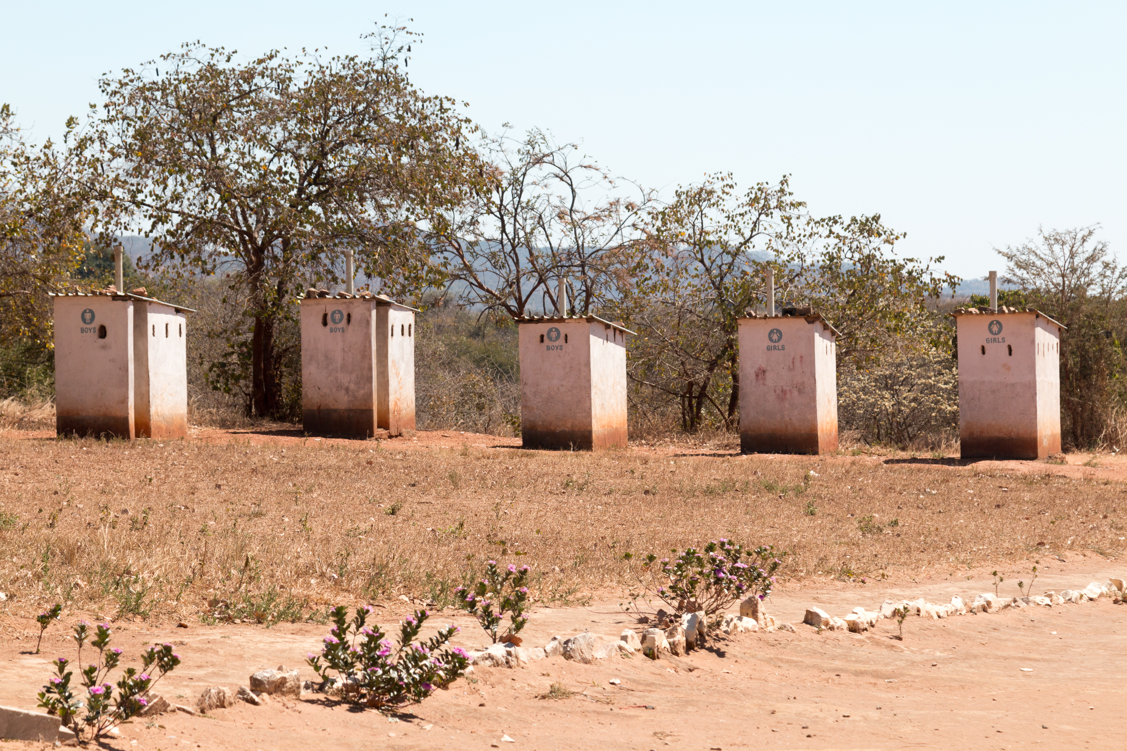
IMG_9484
IMG_9483

IMG_8291.jpg
IMG_8289.jpg

IMG_8288.jpg
IMG_8286.jpg

IMG_8285.jpg

IMG_8284.jpg
IMG_8282.jpg

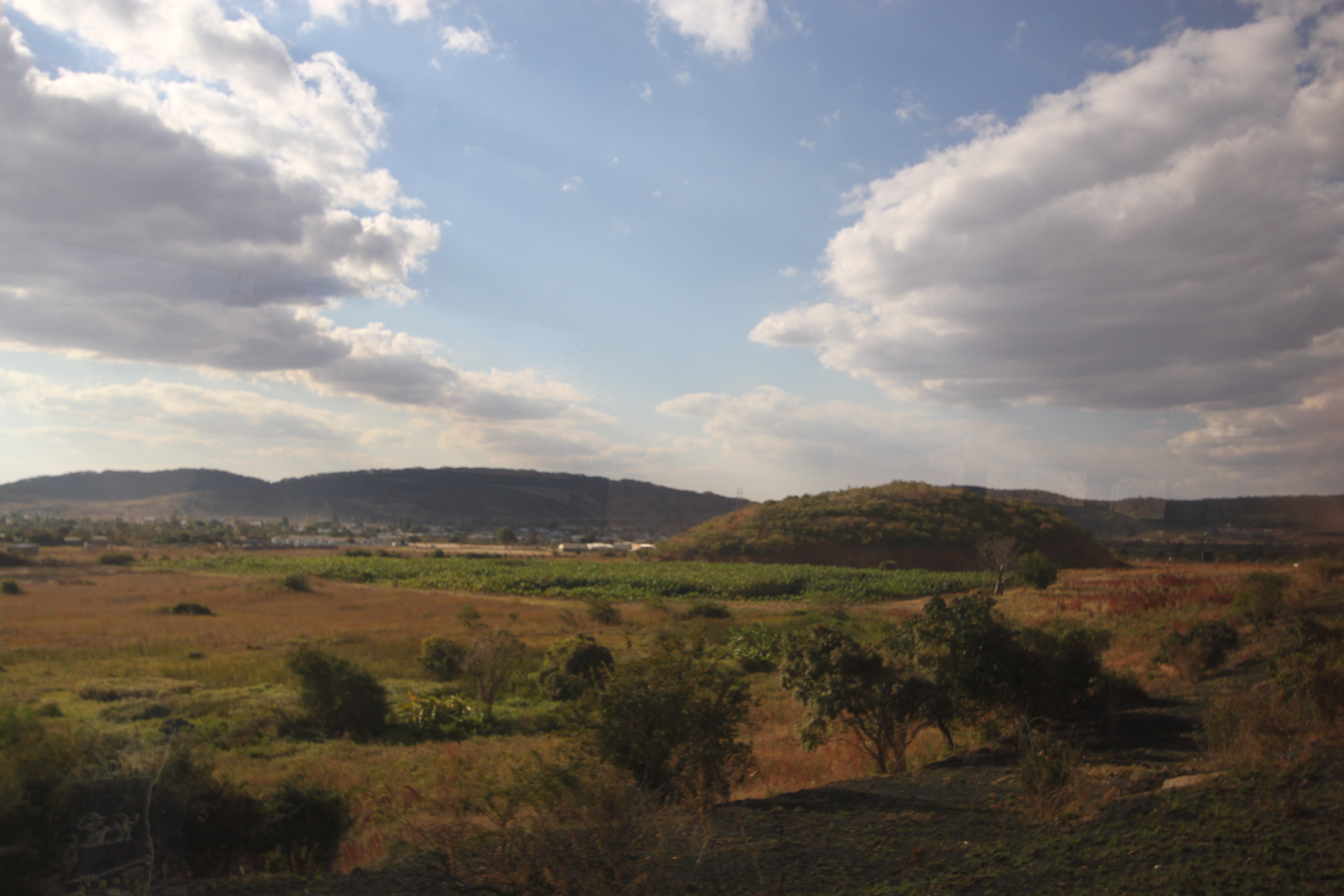
2015 04 17 z2

Sukkerrør

BRCK paired with a signal booster and a Poynting Antenna

Copper highway
Bridge approach
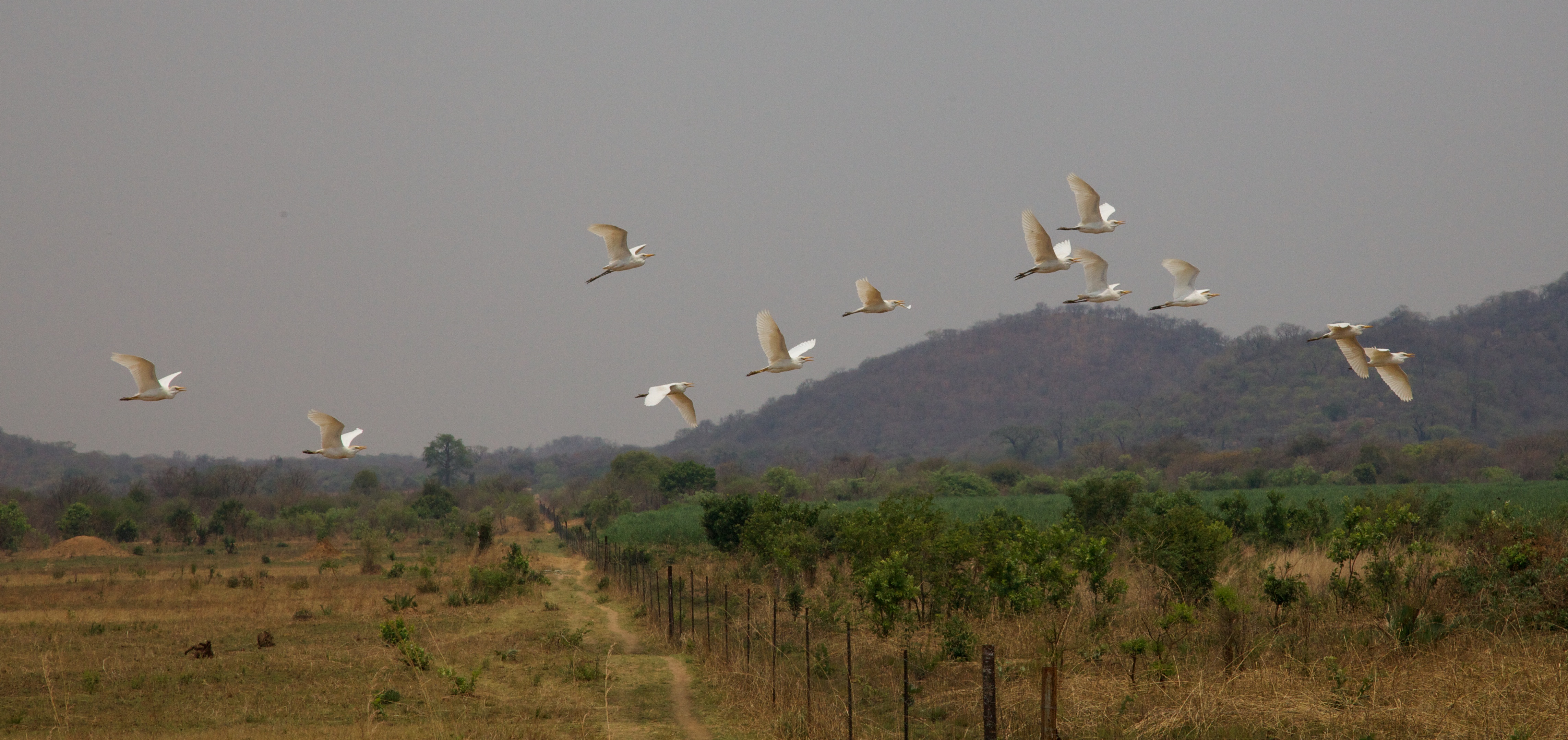
Flock of Egrets
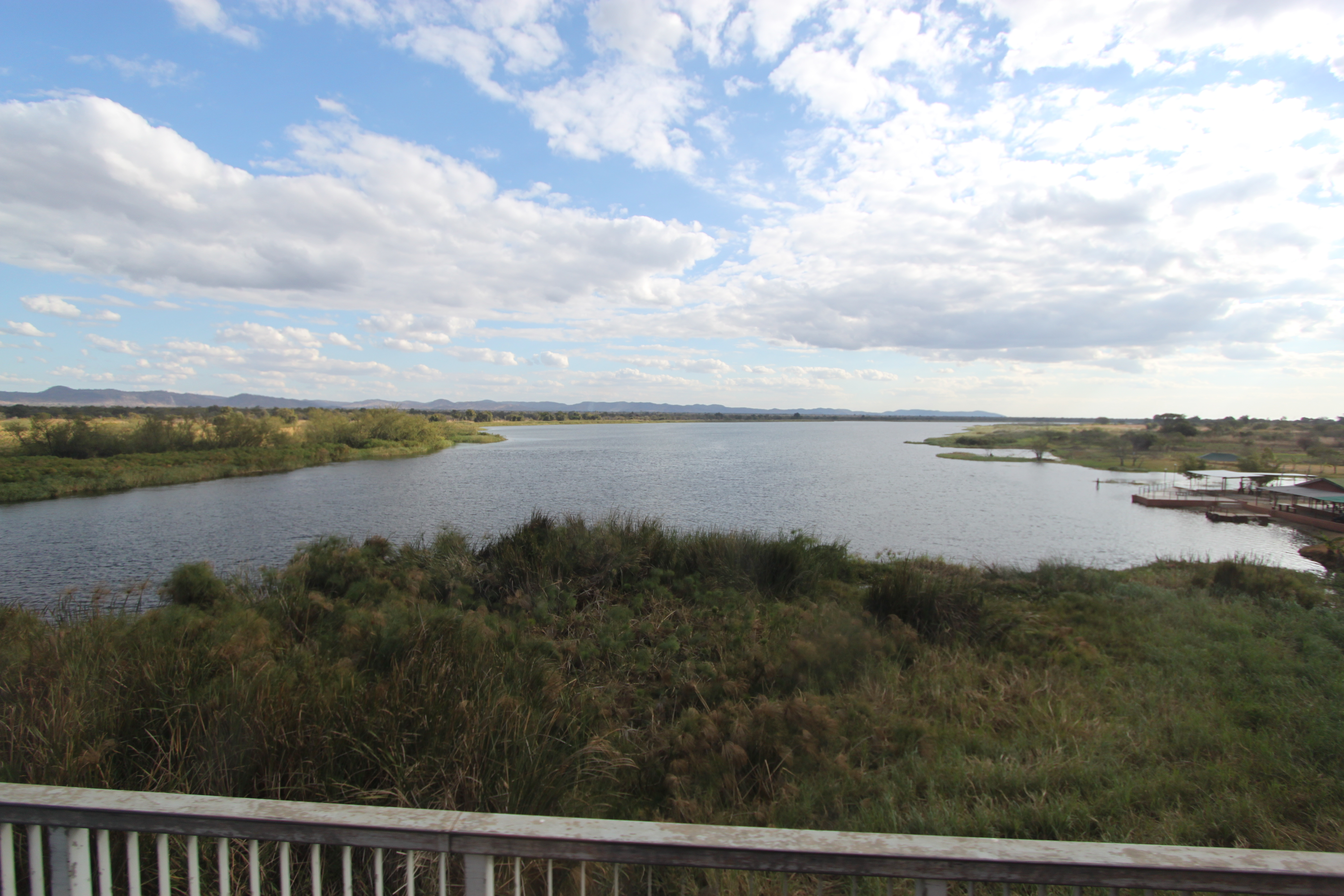
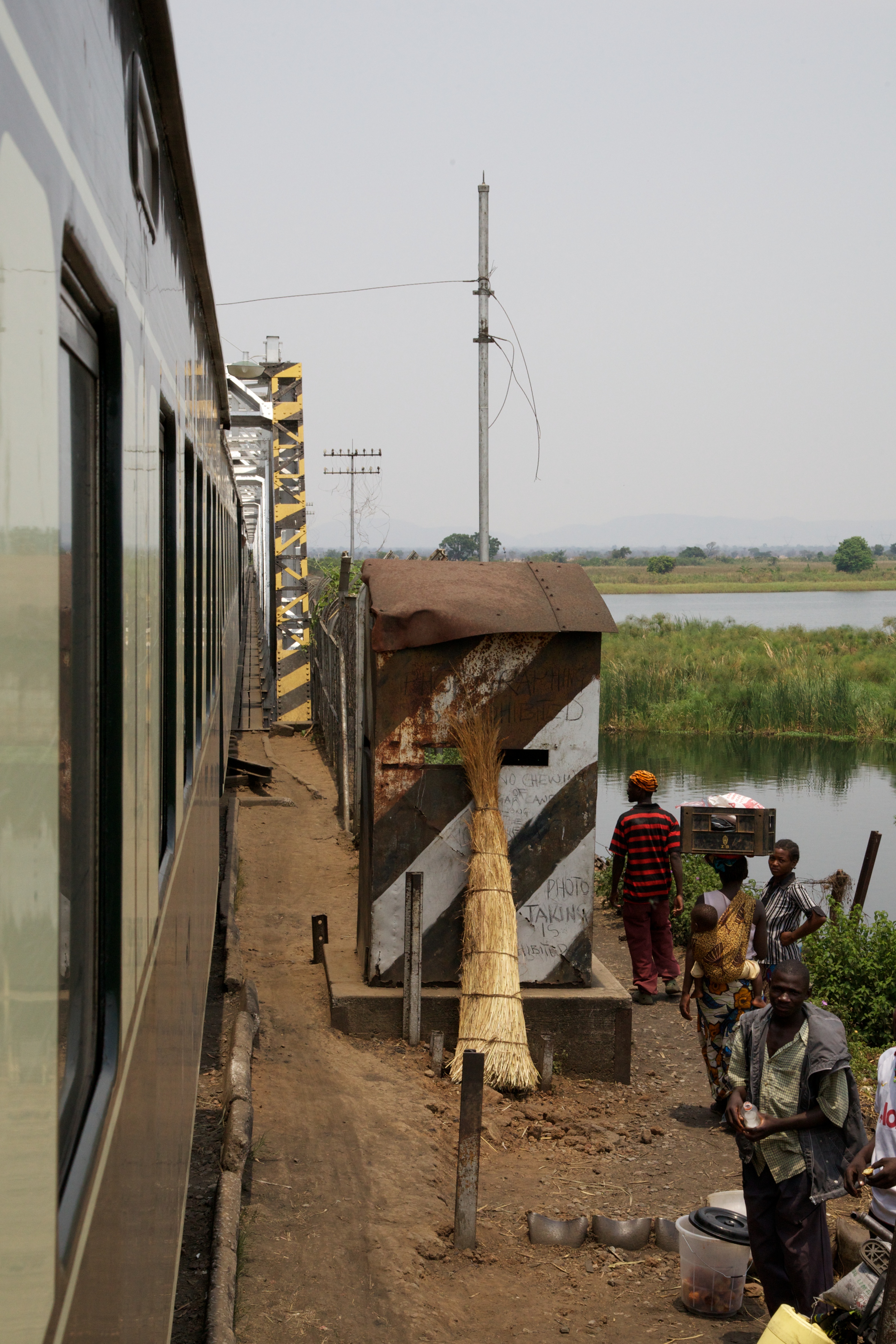
Crossing the Kafue River
…and you must be Robin?
mazabuko-pan
Butcher near Kafue Brdge
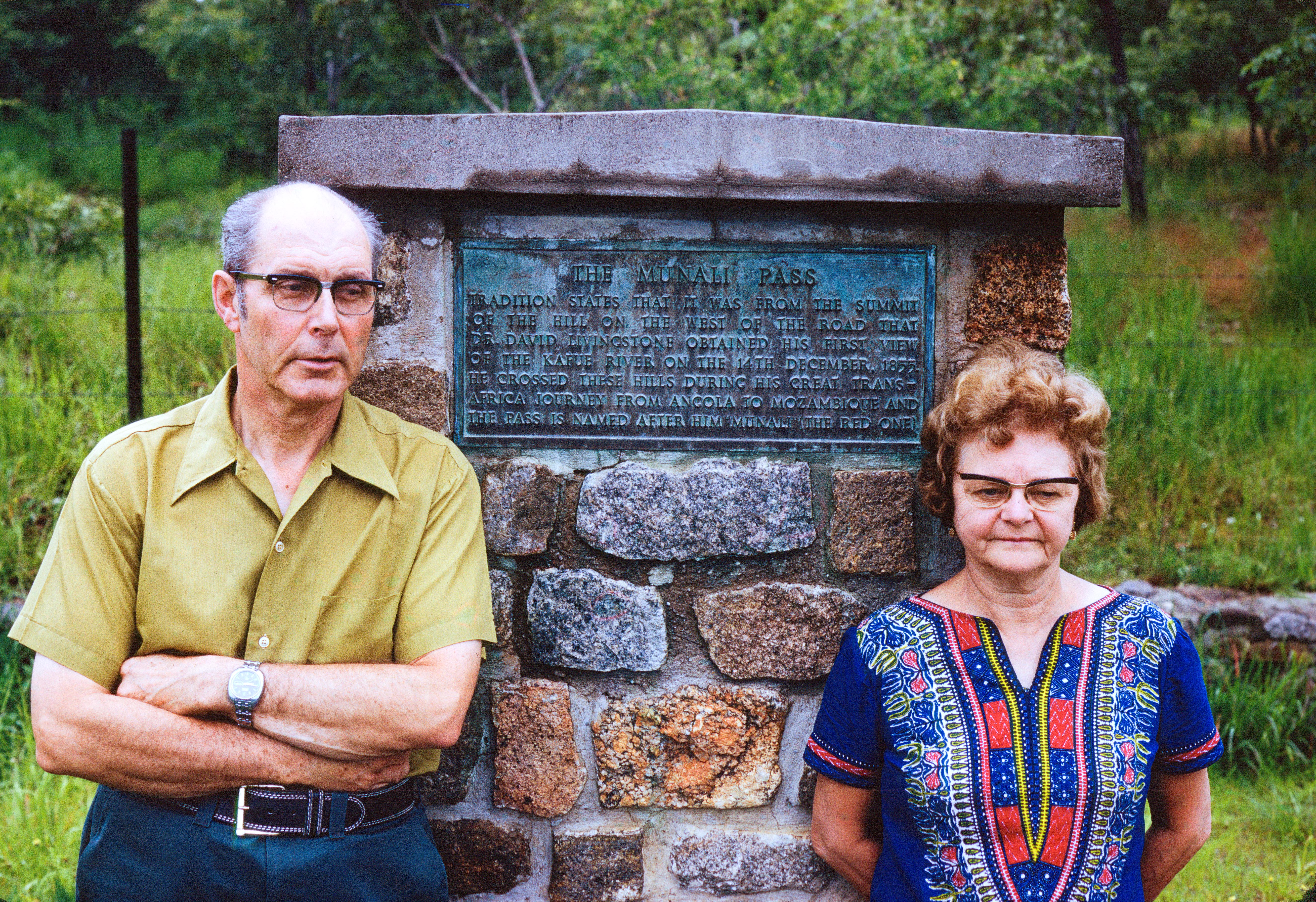
Vera and George at Munali Pass
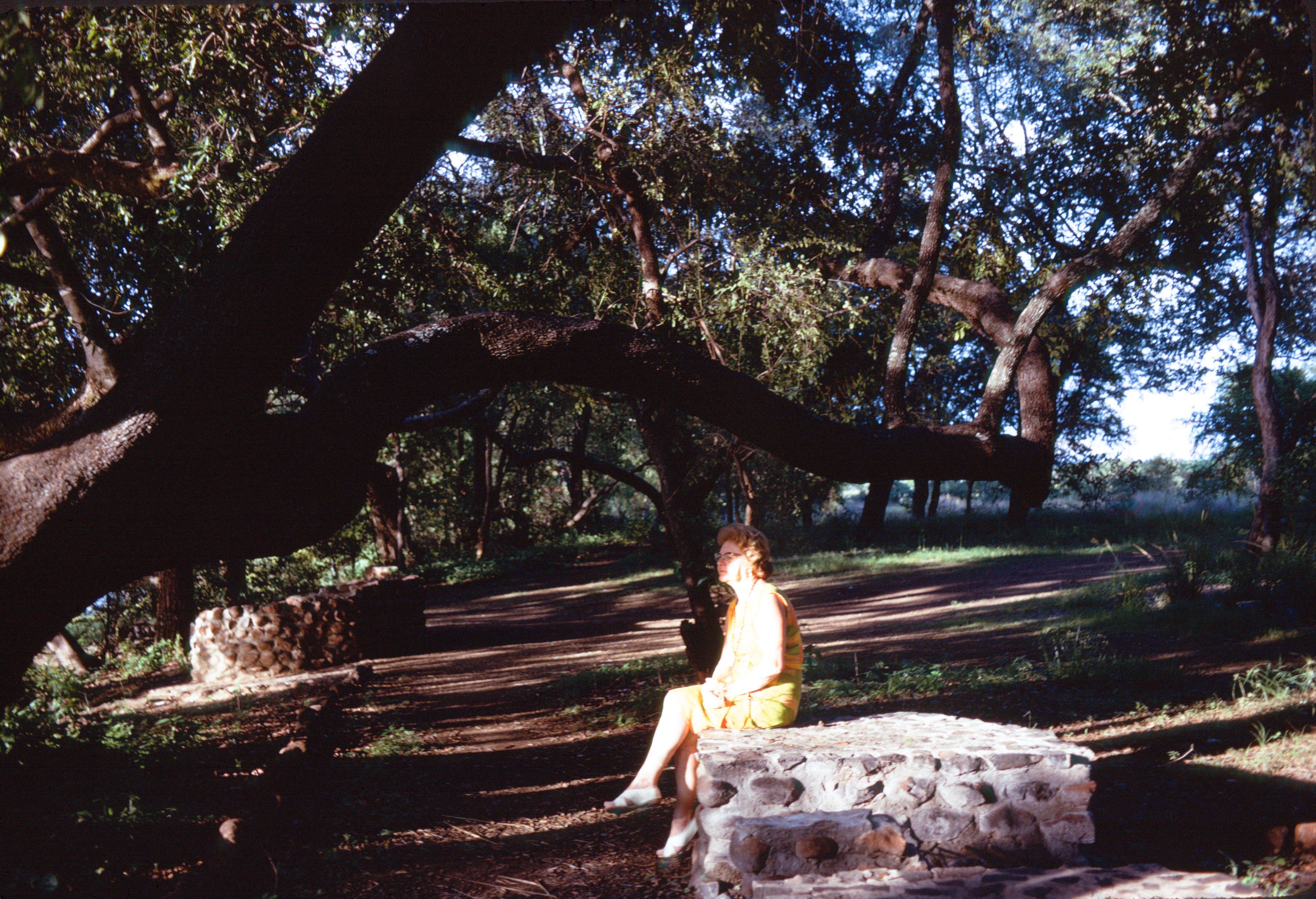
Vera near Victoria Falls

Chasing the train
Topographic Map of Riverside Farm Institute, Turnpike, Zambia, Zambia
Find elevation by address:

Places near Riverside Farm Institute, Turnpike, Zambia, Zambia:
Kafue River Bridge
Kafue
Siavonga
Chirundu Border Post
Chirundu
Siavonga
Siavonga Zambia
Kariba
Ruckomechi Camp
Kariba
Kariba
Mana Pools
Recent Searches:
- Elevation of Corso Fratelli Cairoli, 35, Macerata MC, Italy
- Elevation of Tallevast Rd, Sarasota, FL, USA
- Elevation of 4th St E, Sonoma, CA, USA
- Elevation of Black Hollow Rd, Pennsdale, PA, USA
- Elevation of Oakland Ave, Williamsport, PA, USA
- Elevation of Pedrógão Grande, Portugal
- Elevation of Klee Dr, Martinsburg, WV, USA
- Elevation of Via Roma, Pieranica CR, Italy
- Elevation of Tavkvetili Mountain, Georgia
- Elevation of Hartfords Bluff Cir, Mt Pleasant, SC, USA