Elevation of Riverbend Rd, Jacksonville, NC, USA
Location: United States > North Carolina > Onslow County > Jacksonville > Jacksonville >
Longitude: -77.4715864
Latitude: 34.7614821
Elevation: 5m / 16feet
Barometric Pressure: 0KPa
Related Photos:

Camp Lejune All Points Inn
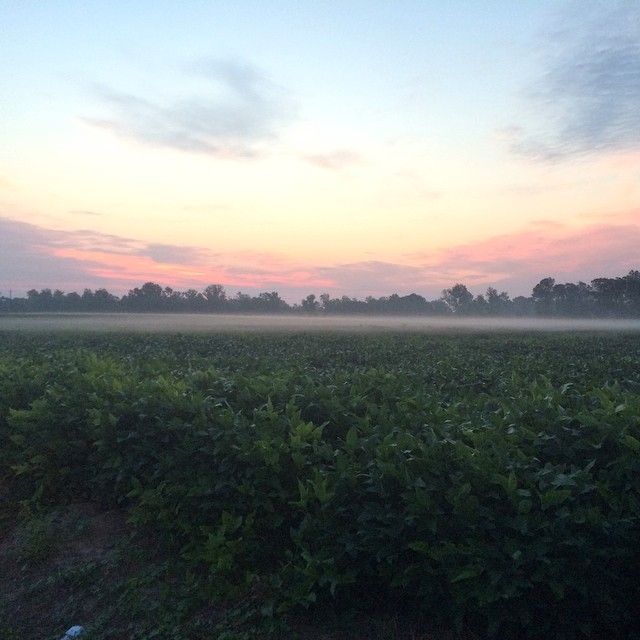
Sunrise over soybeans
North Carolina

New River Sunrise
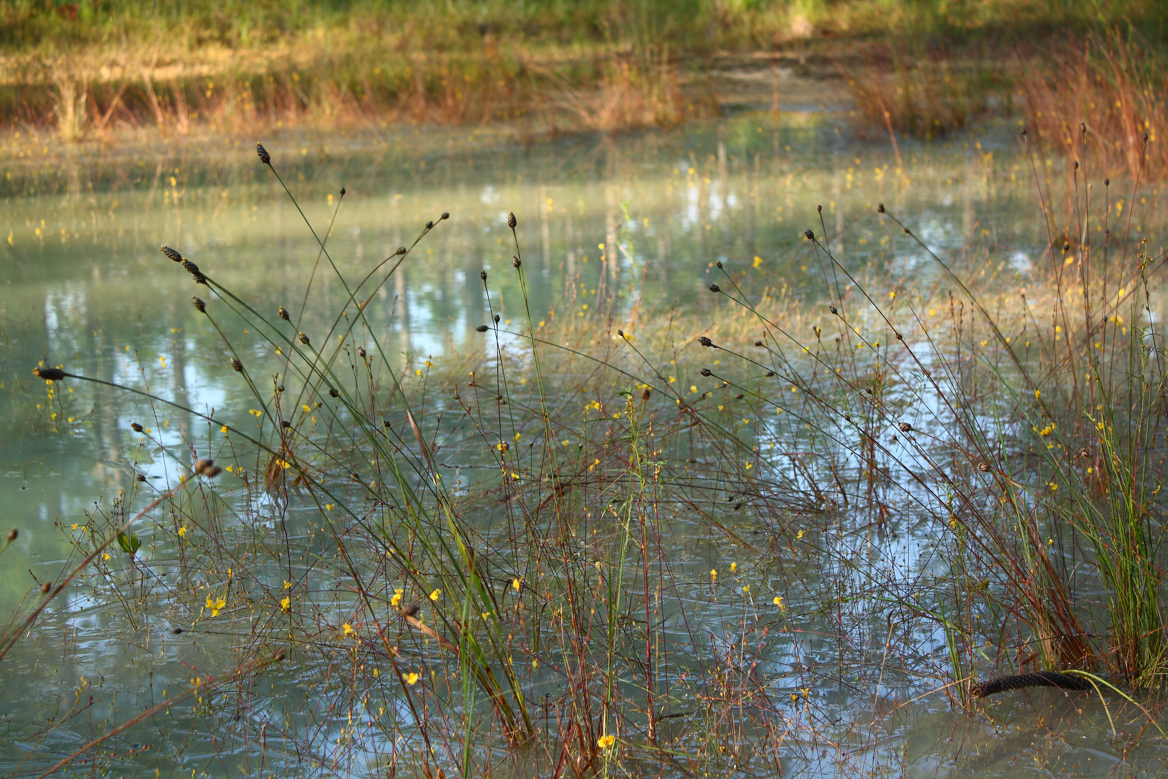
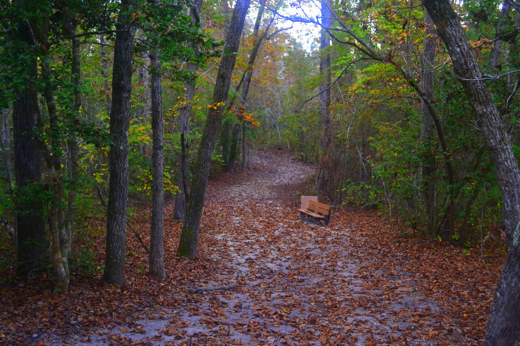
Tangled Banks
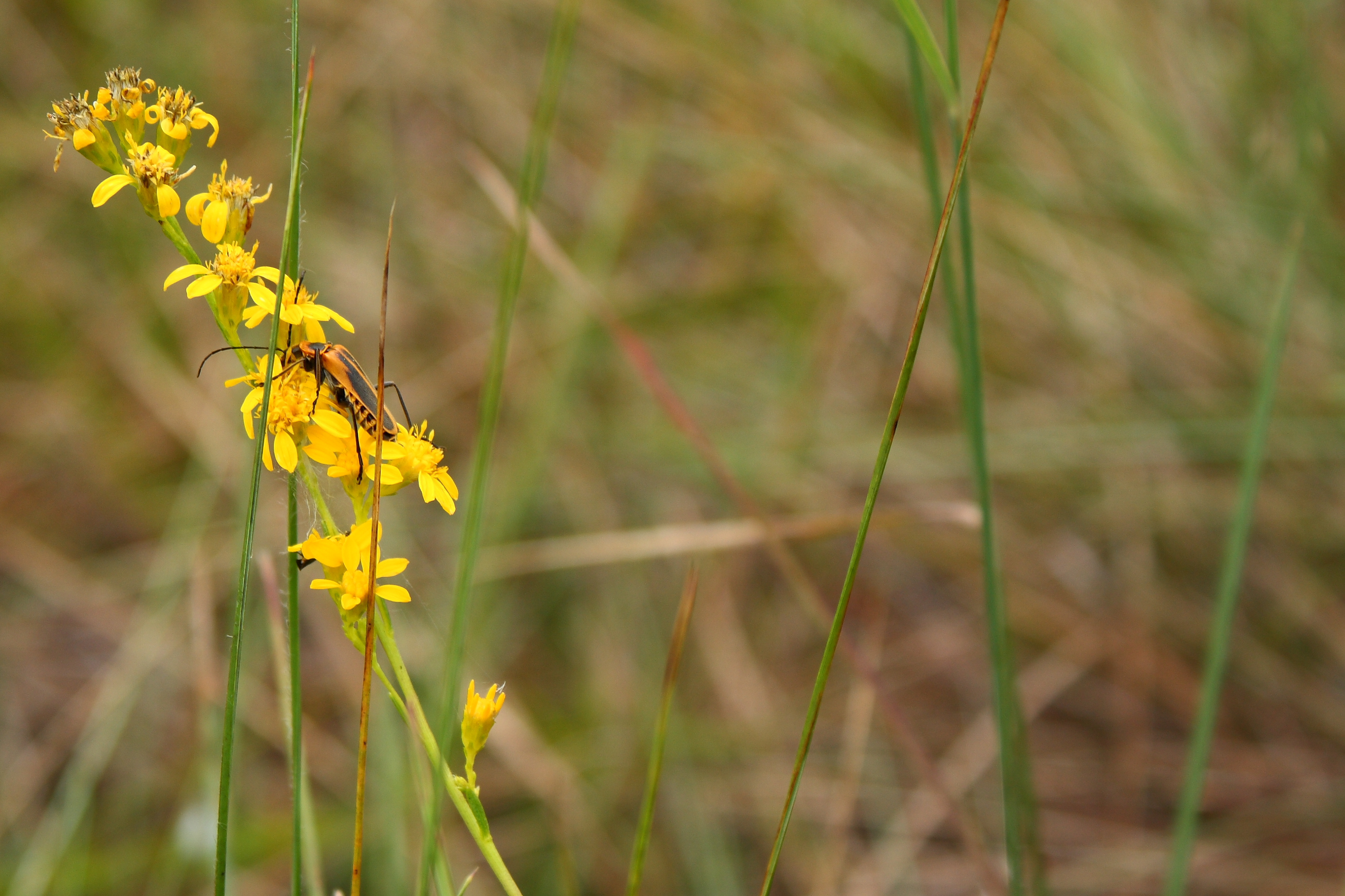
Lightning Bug. Not.
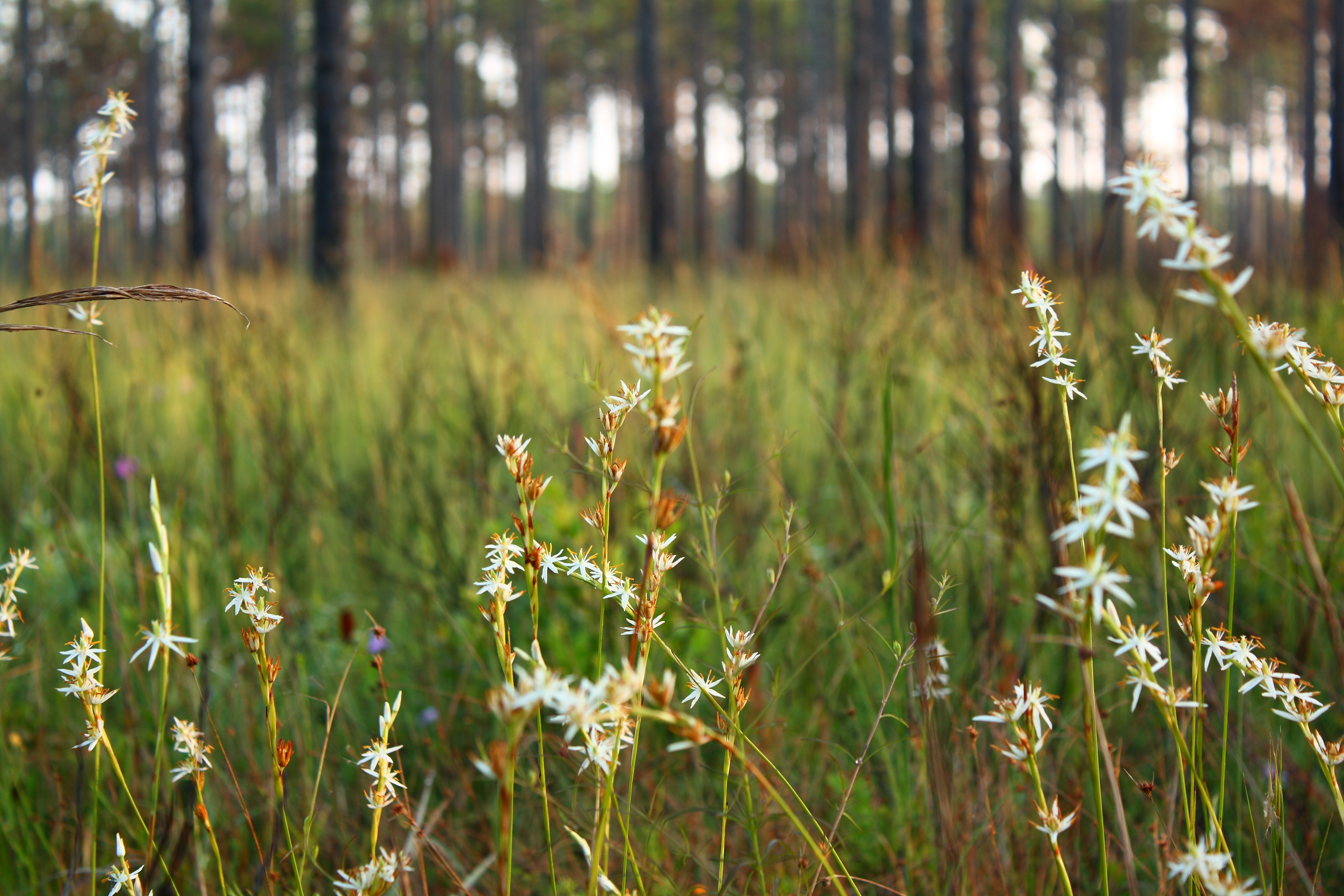
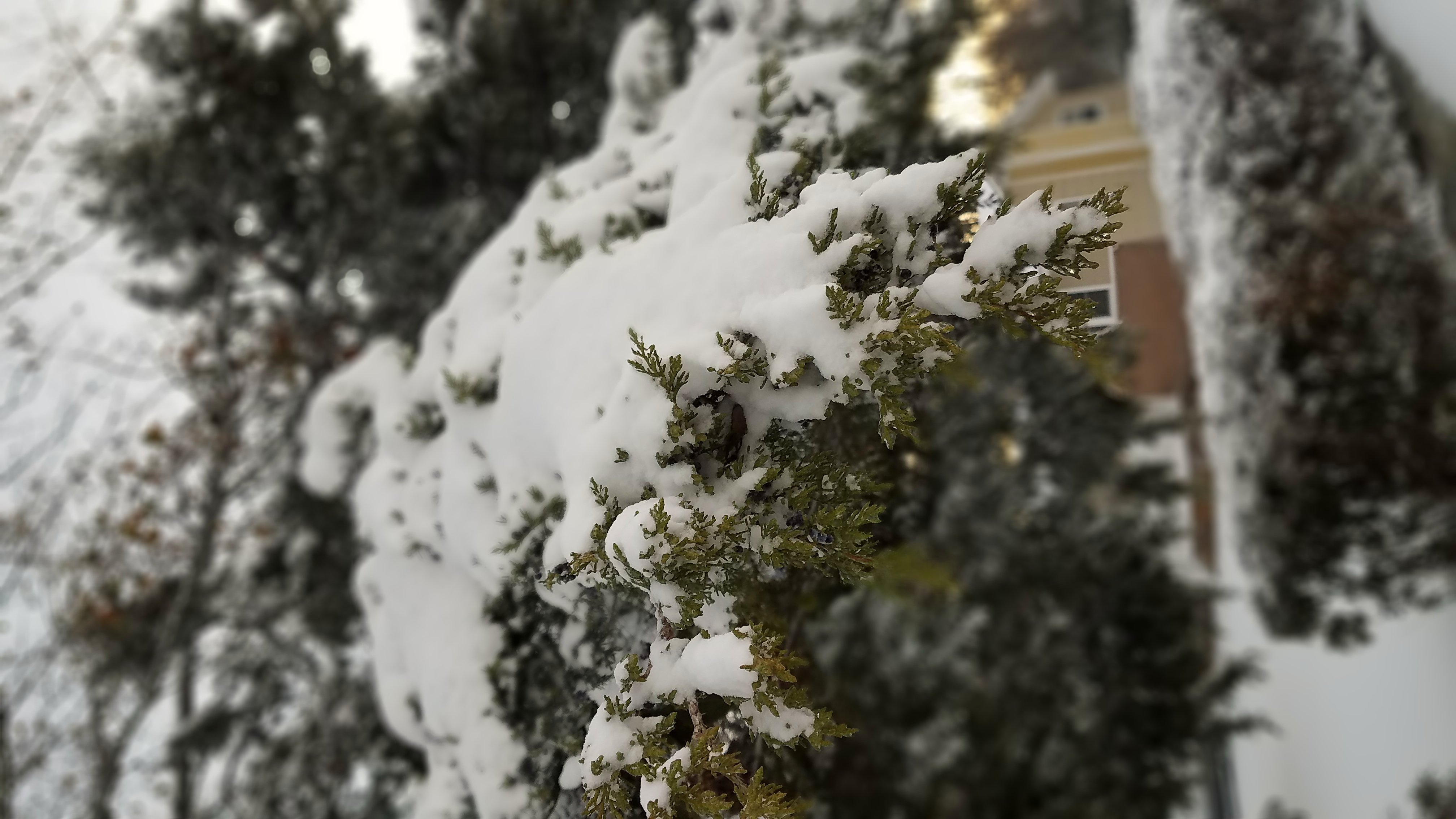
Morning White
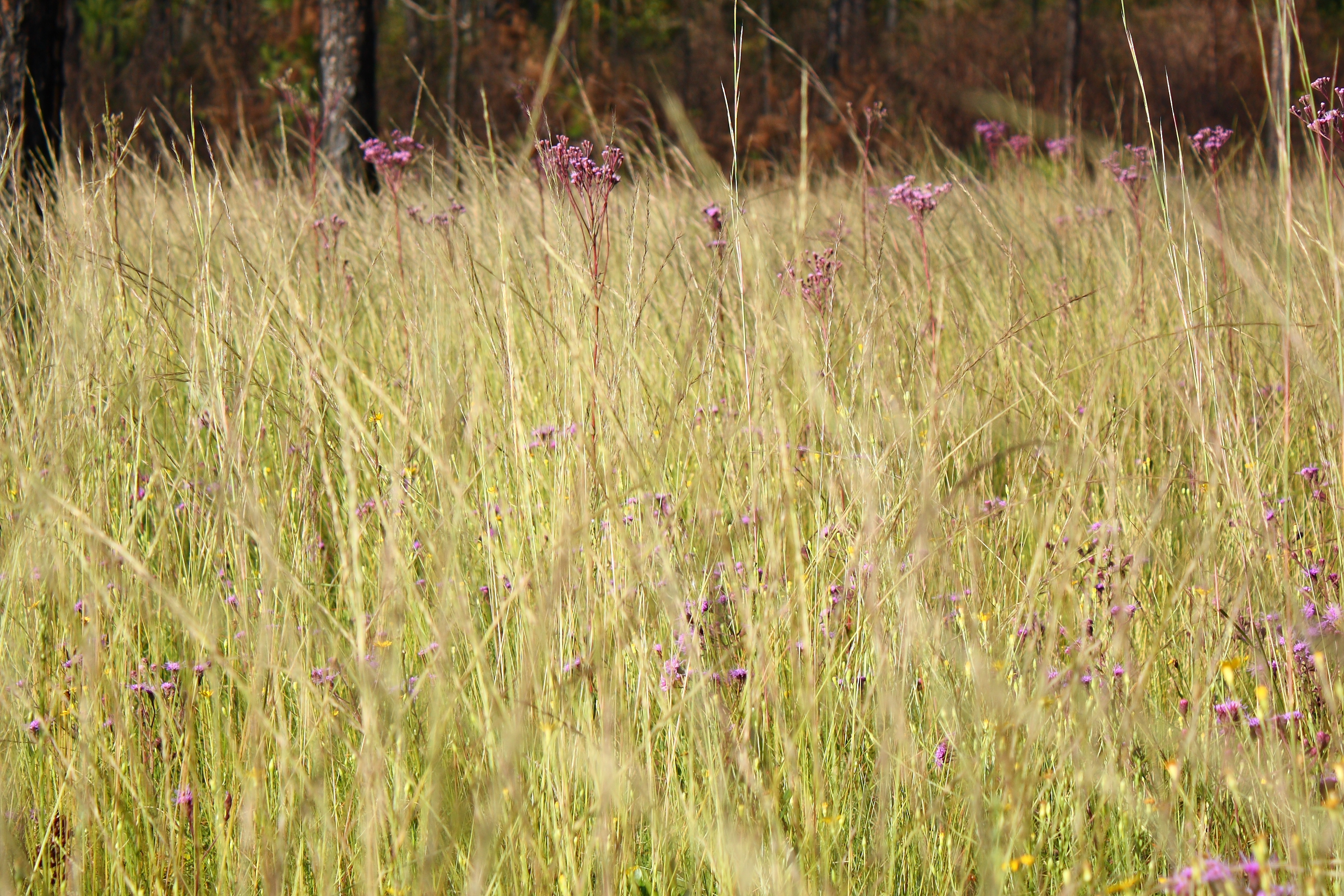
Through the Tall Grass
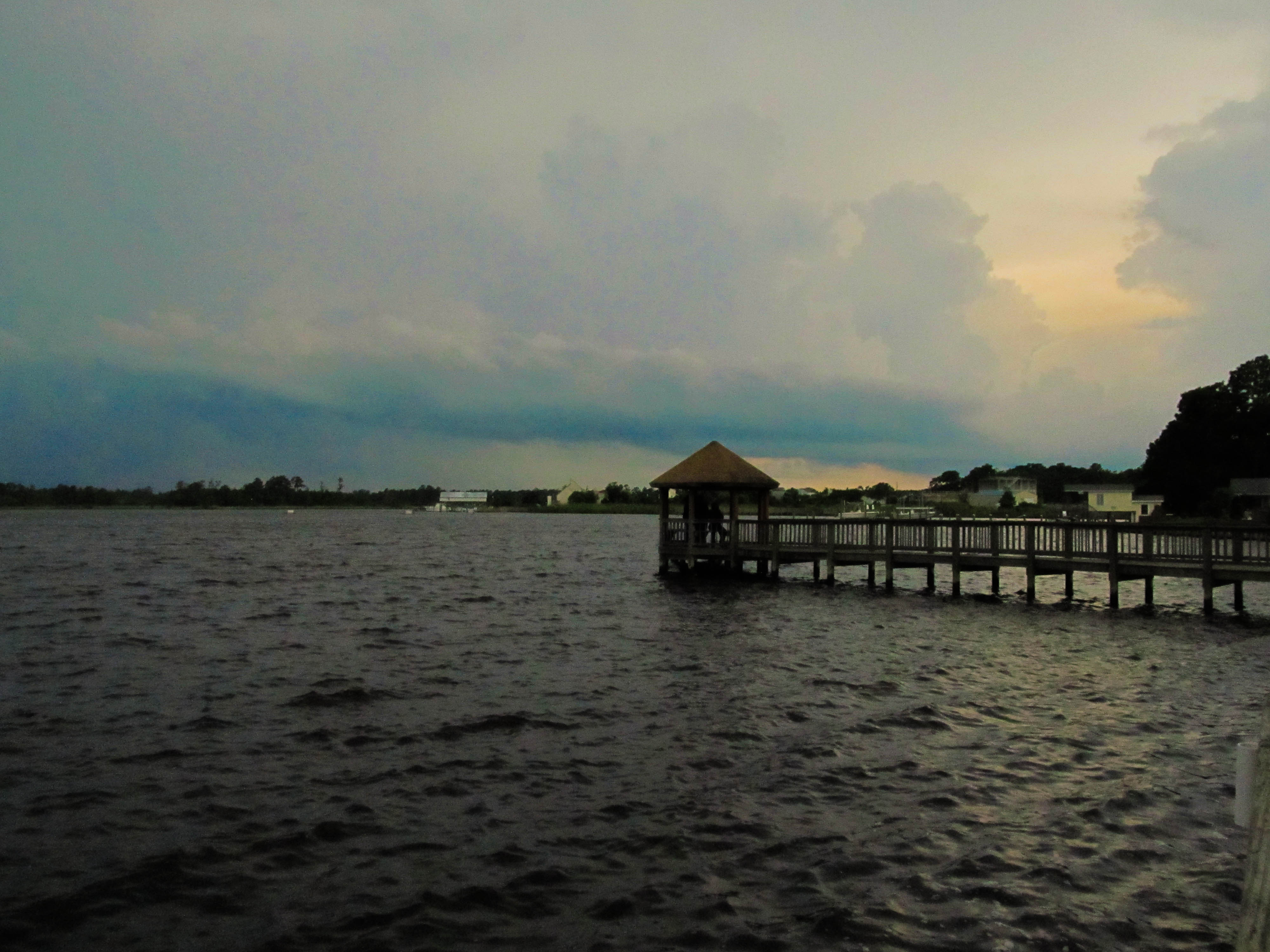
Wilson Bay Gazebo
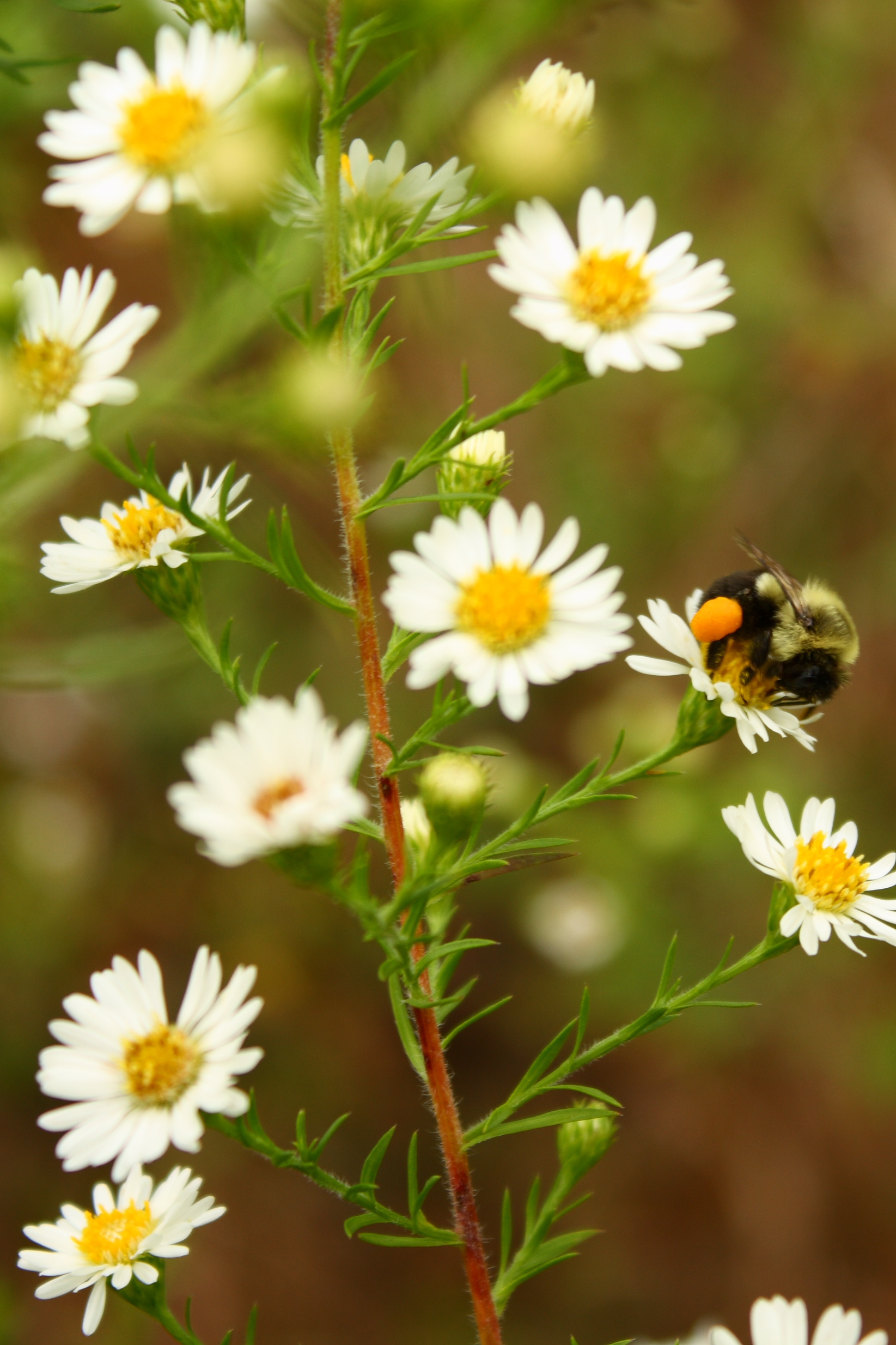
Bumble Preggo
Media-09-3Wed-0105 050
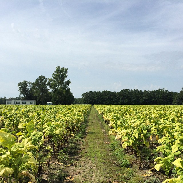
Tobacco Road
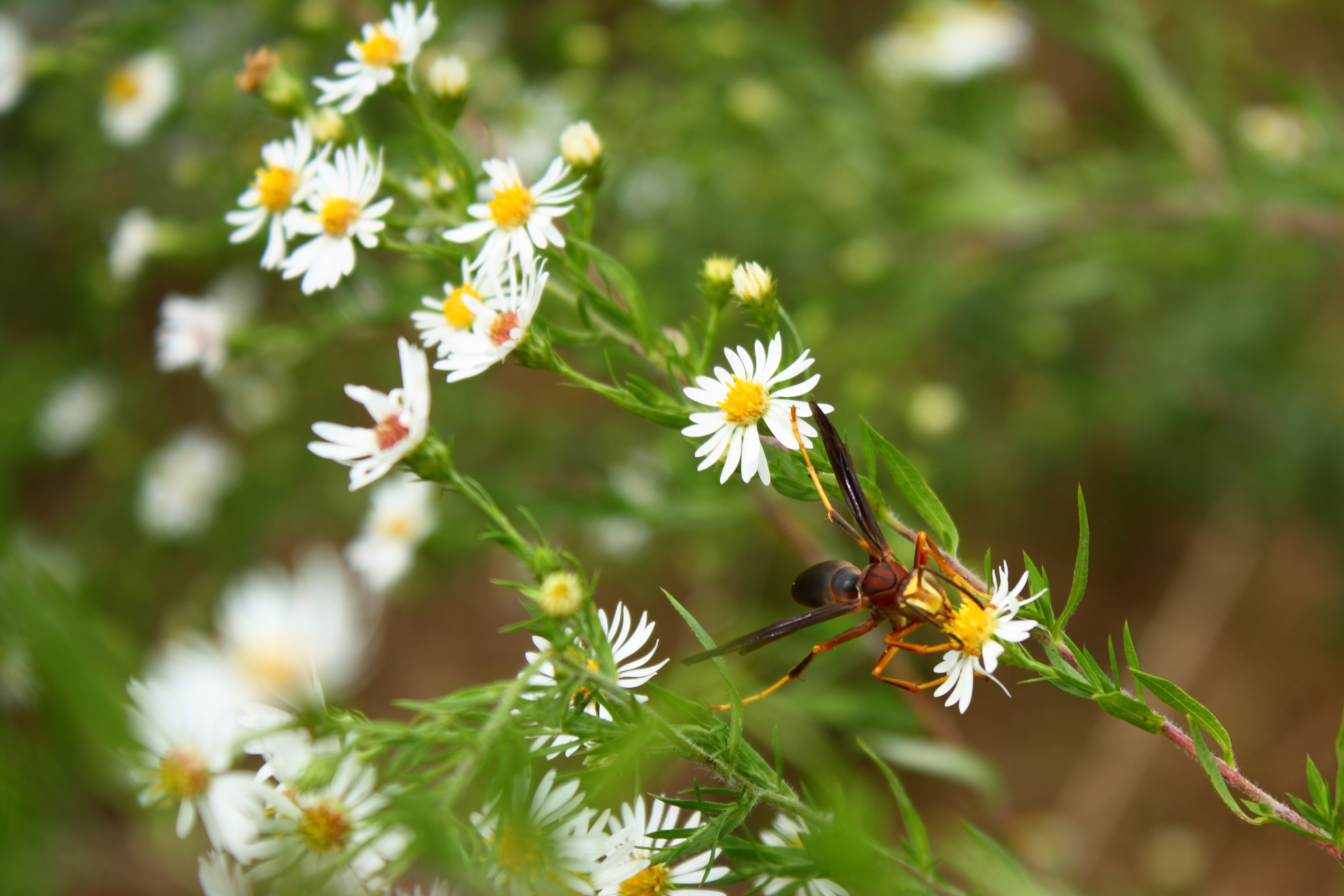
Male Paper Wasp
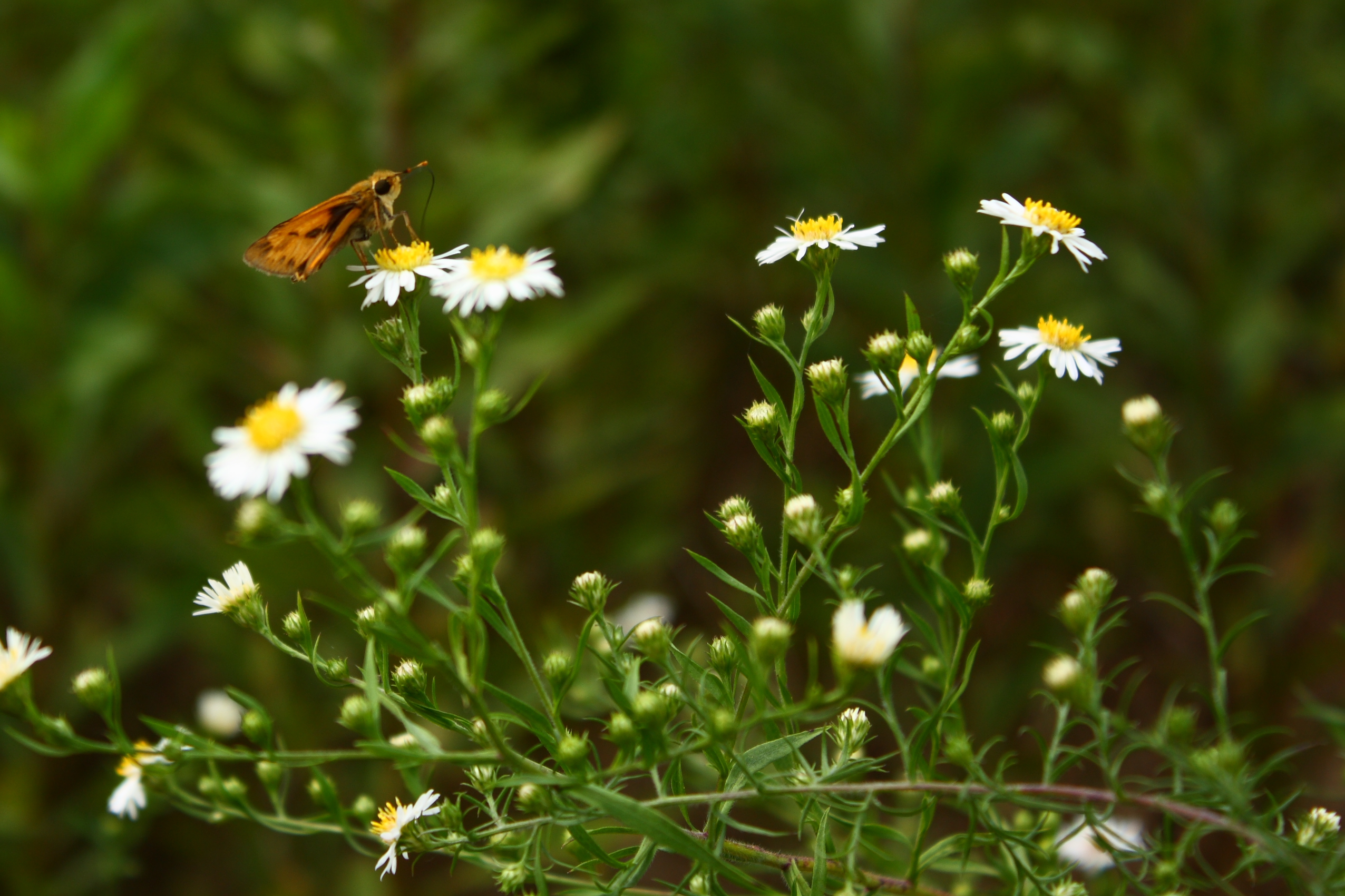
Orange and Brown Skipper

Media-09-3Wed-0110 036
Oak Hurst
What is wrong with this picture?

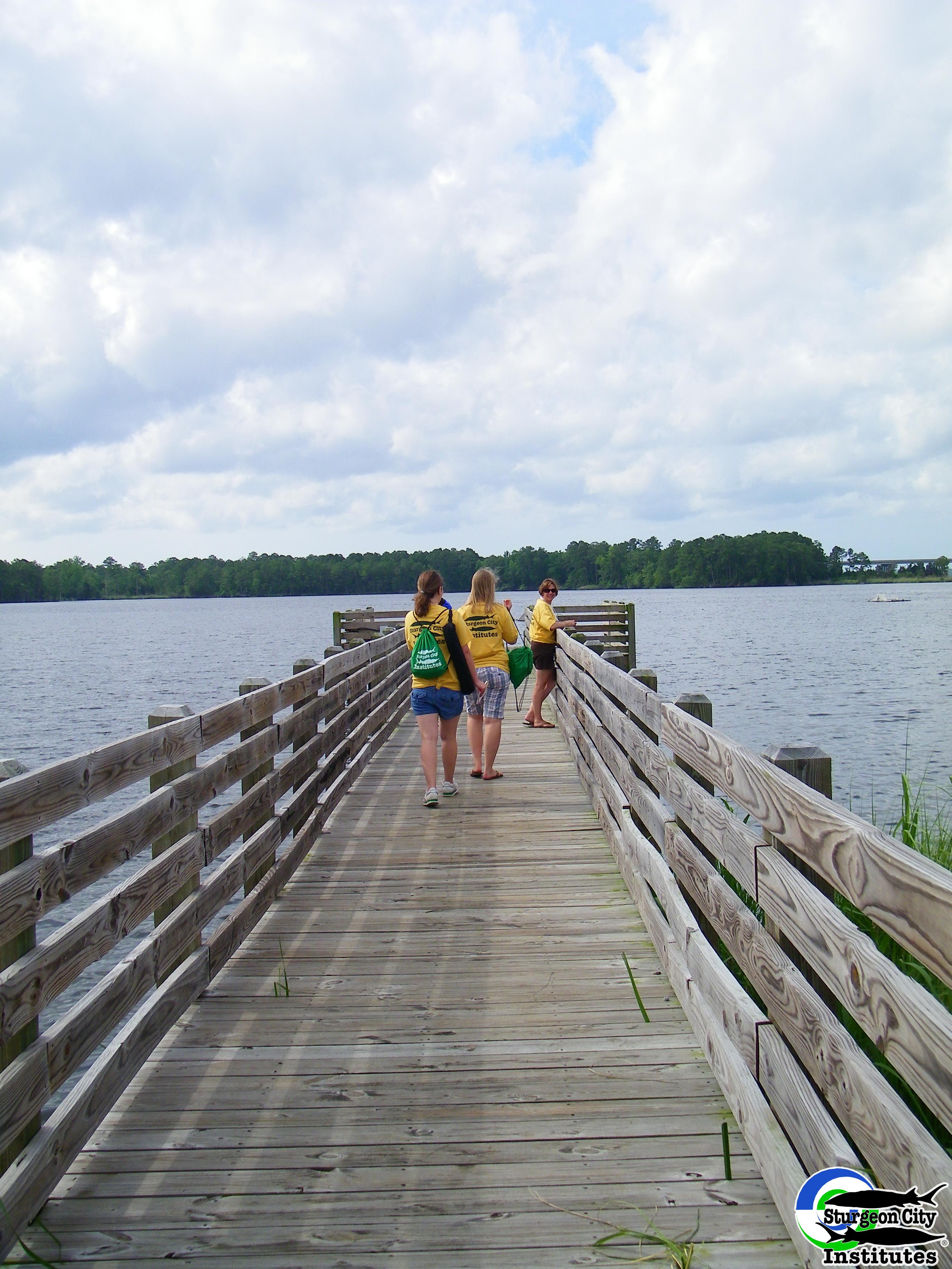
Dock at New River
North Carolina
Topographic Map of Riverbend Rd, Jacksonville, NC, USA
Find elevation by address:

Places near Riverbend Rd, Jacksonville, NC, USA:
Jacksonville
302 Forbes Ln
244 Royal Bluff Rd
3415 Planters Ln
9 Lisa Ct
709 Cattail Ct
Harvest Drive
217 Peters Ln
217 Peters Ln
217 Peters Ln
803 Little Cardinal Ct
405 Maplehurst Dr
Allison Hatchel Ave, Jacksonville, NC, USA
139 Laguna Bay Dr
511 State Rd 1136
Christine Ave, Jacksonville, NC, USA
72 Kerr St
Jacksonville
270 Court St
85 Shoreline Dr
Recent Searches:
- Elevation of 107, Big Apple Road, East Palatka, Putnam County, Florida, 32131, USA
- Elevation of Jiezi, Chongzhou City, Sichuan, China
- Elevation of Chongzhou City, Sichuan, China
- Elevation of Huaiyuan, Chongzhou City, Sichuan, China
- Elevation of Qingxia, Chengdu, Sichuan, China
- Elevation of Corso Fratelli Cairoli, 35, Macerata MC, Italy
- Elevation of Tallevast Rd, Sarasota, FL, USA
- Elevation of 4th St E, Sonoma, CA, USA
- Elevation of Black Hollow Rd, Pennsdale, PA, USA
- Elevation of Oakland Ave, Williamsport, PA, USA
- Elevation of Pedrógão Grande, Portugal
- Elevation of Klee Dr, Martinsburg, WV, USA
- Elevation of Via Roma, Pieranica CR, Italy
- Elevation of Tavkvetili Mountain, Georgia
- Elevation of Hartfords Bluff Cir, Mt Pleasant, SC, USA
- Elevation of SW Barberry Dr, Beaverton, OR, USA
- Elevation of Old Ahsahka Grade, Ahsahka, ID, USA
- Elevation of State Hwy F, Pacific, MO, USA
- Elevation of Chemin de Bel air, Chem. de Bel air, Mougins, France
- Elevation of Cloverdale Dr, Bloomingdale, GA, USA