Elevation of Rimrock Lake, Washington, USA
Location: United States > Washington > Goose Prairie >
Longitude: -121.16630
Latitude: 46.6413466
Elevation: -10000m / -32808feet
Barometric Pressure: 295KPa
Elevation Map:
Satellite Map:
Related Photos:

Western Bluebird, Sialia mexicana

Unhappy ruffed grouse
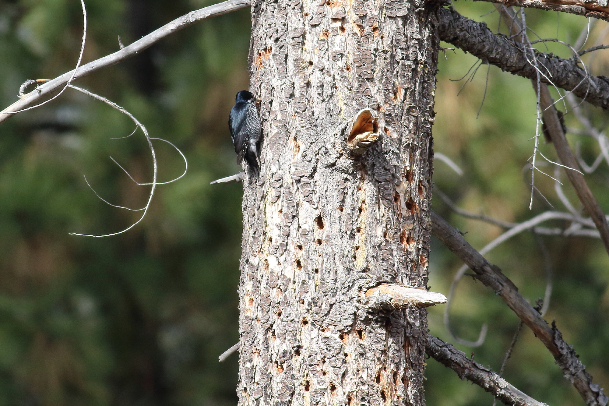
Black-backed woodpecker

Ruffed grouse

Gray jay, Perisoreus canadensis - Explore

Cinnamon teal (Anas cyanoptera), male

Harlequin ducks, Tieton River
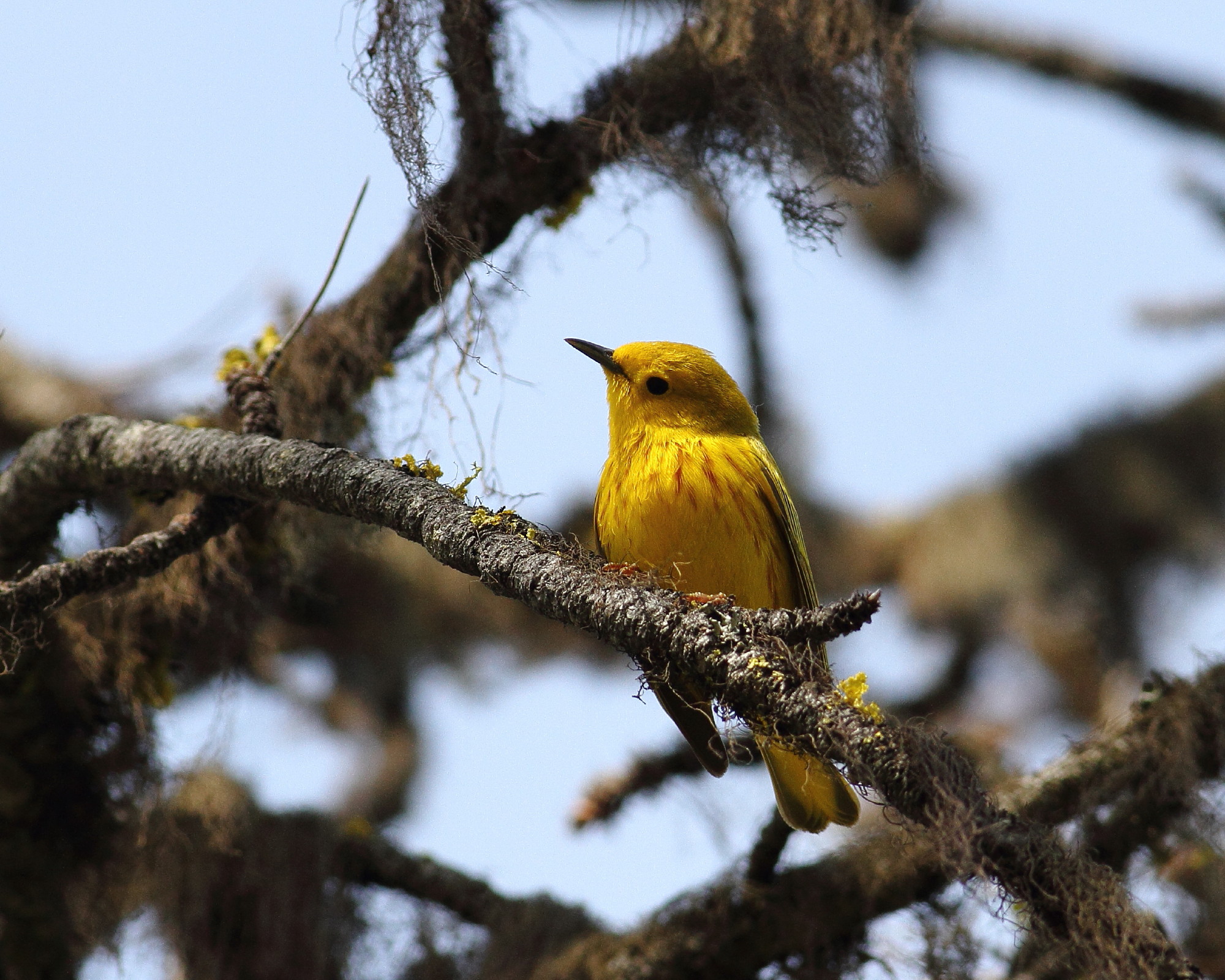
Yellow warbler, Dendroica petechia, male

Acrobatic Nashville warbler

Yellow warbler, Dendroica petechia
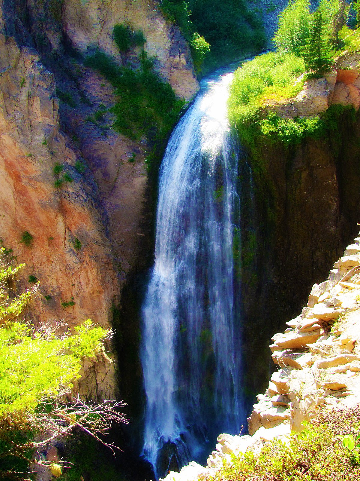
Lower Clear Creek Falls (Dream version)

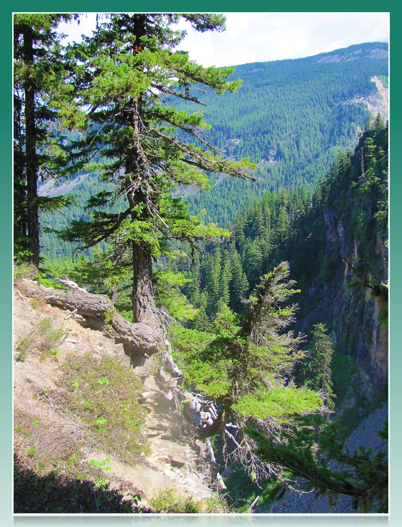
Clear Creek Falls Valley 2 ~ Wenatchee National Forest ~ Washington

Clear Creek Falls Valley ~ Wenatchee National Forest ~ Washington

Clear Creek Falls Canyon ~ Wenatchee National Forest ~ Washington

Clear Creek Falls01 - Painting

Lower Clear Creek Falls

Rest Stop

Clear Creek Falls View Point

Clear Creek Falls View Point
Above Clear Creek Falls

View from Clear Creek Falls Overlook

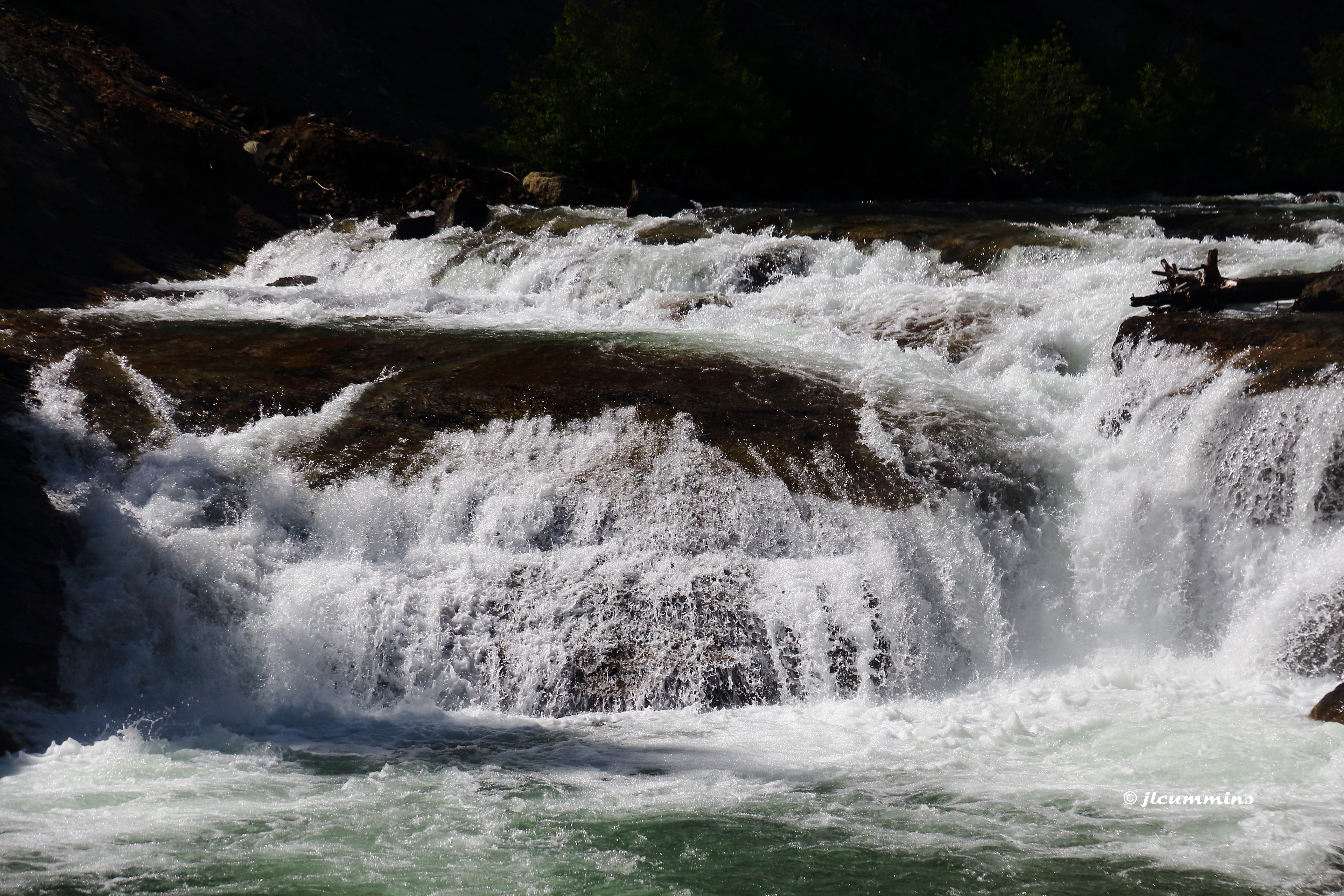
South Fork Falls, up close

South Fork Falls
Cascade above South Fork Tieton Falls
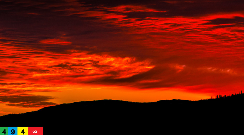
A Pacific Northwest Sweet Morning Crush: A Dramatic Sunrise (Part 11): A Sensual Reality (In Technicolor)

South Fork Tieton River

Looking toward Mt Rainier from Bethel Ridge

Jumpoff Lookout from Divide Ridge

South Fork Tieton River

SF Tieton River cascades

SF Tieton River

South Fork Falls

PIX-IMG_4727HDTV-Test-g

101611_144_Mount Rainier, WA

Ironstone Mountain

101611_143_Mount Rainier, WA
Topographic Map of Rimrock Lake, Washington, USA
Find elevation by address:

Places near Rimrock Lake, Washington, USA:
White Pass
Hogback Mountain
Old Scab Mountain
Goose Prairie
81 Pine Cliff Dr, Union Gap, WA, USA
Cottonwood Campground
80 Wapiti Run Ln
80 Wapiti Run Ln
80 Wapiti Run Ln
80 Wapiti Run Ln
80 Wapiti Run Ln
80 Wapiti Run Ln
Goat Rocks Wilderness
98937 Wa-410
American River
Fifes Peaks West
Walupt Lake
Fifes Ridge East
Fifes Ridge West
Packwood Lake
Recent Searches:
- Elevation of Corso Fratelli Cairoli, 35, Macerata MC, Italy
- Elevation of Tallevast Rd, Sarasota, FL, USA
- Elevation of 4th St E, Sonoma, CA, USA
- Elevation of Black Hollow Rd, Pennsdale, PA, USA
- Elevation of Oakland Ave, Williamsport, PA, USA
- Elevation of Pedrógão Grande, Portugal
- Elevation of Klee Dr, Martinsburg, WV, USA
- Elevation of Via Roma, Pieranica CR, Italy
- Elevation of Tavkvetili Mountain, Georgia
- Elevation of Hartfords Bluff Cir, Mt Pleasant, SC, USA