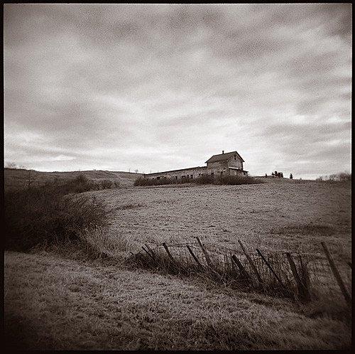
Elevation of Rigor Hill Rd, Chatham, NY, USA
Location: United States > New York > Columbia County > Chatham >
Longitude: -73.585035
Latitude: 42.289048
Elevation: 246m / 807feet
Barometric Pressure: 98KPa
Elevation Map:
Satellite Map:
Related Photos:

View from the Taconic State Parkway

Burning through
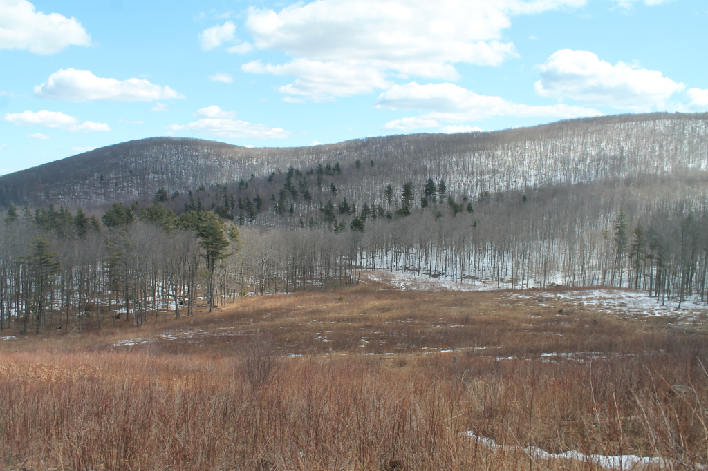
Views of Harvey Mountain from Lean-To
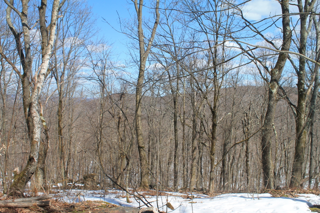
Broken Views of Catskills from Pinnacle Point
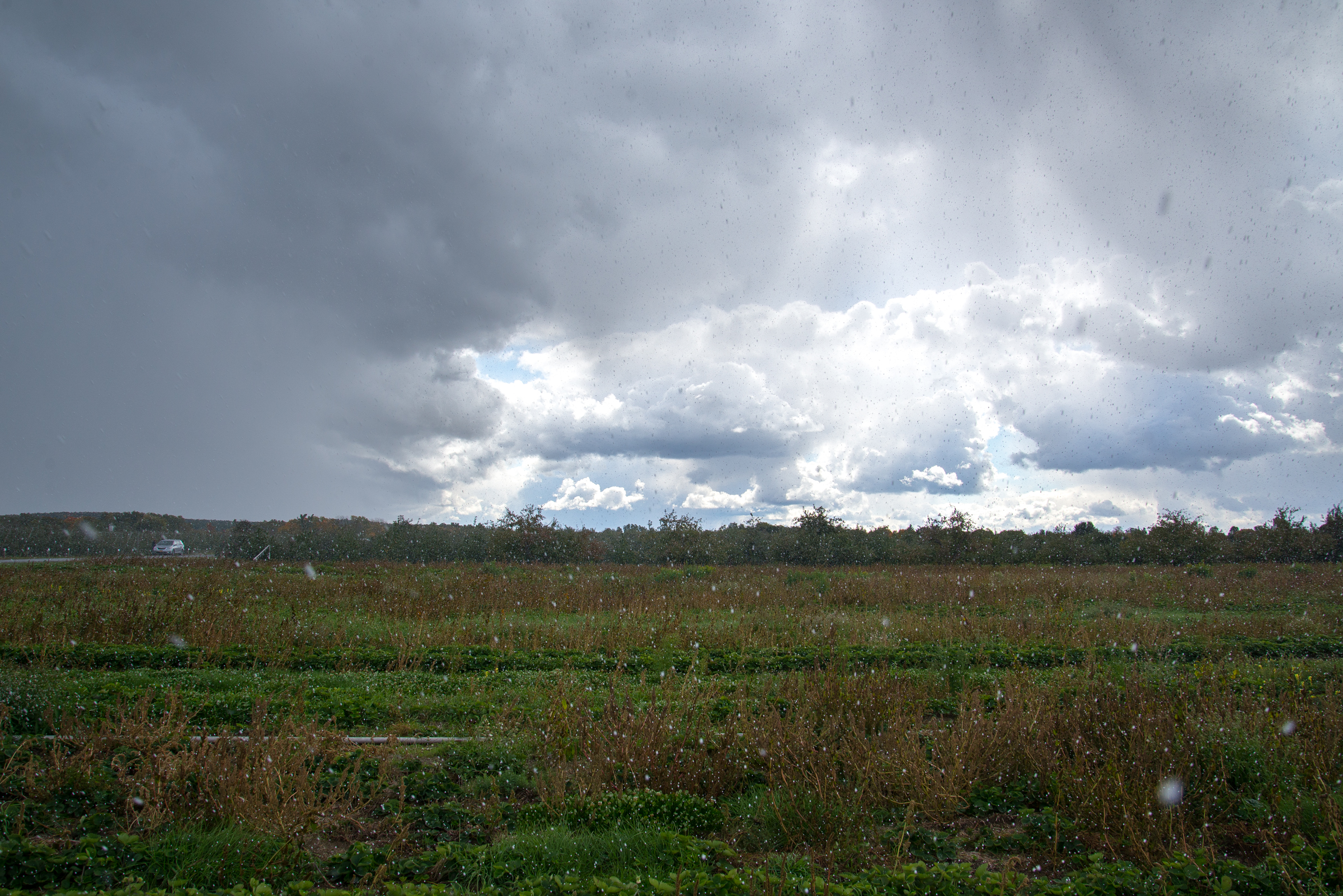
in the middle of a heavy graupel downpour
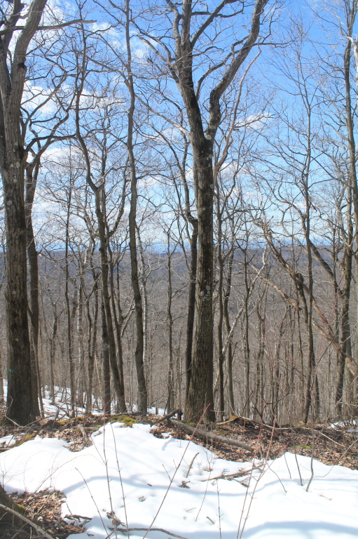
Another View of Harvey Mountain
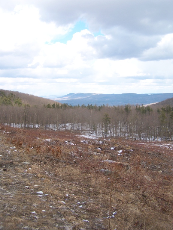
Recently Cut Area
It's High Time
Ran all the way up the hill yesterday & the view was so totally worth it!

Chief Martindale Diner - Interior

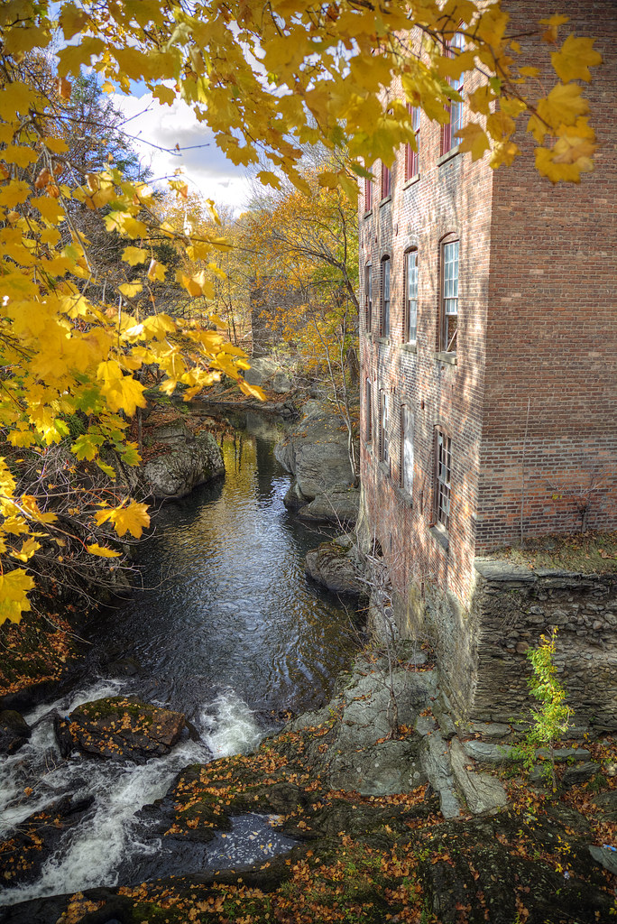
Summit Knitting Mill, Philmont, NY
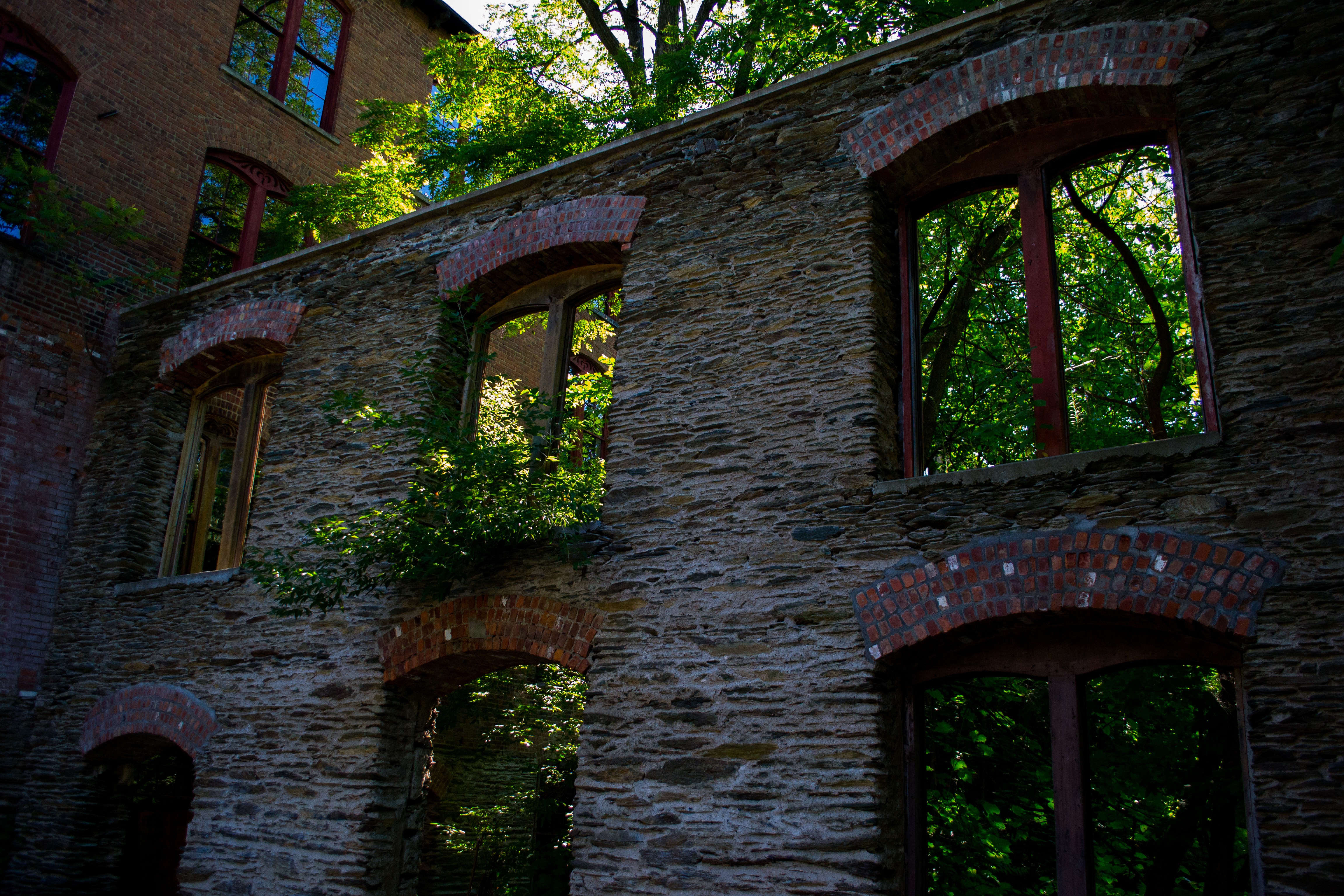
Summit Knitting Mill, Philmont, NY
Summit Knitting Mill, Philmont, NY
View of the Catskills from the Taconic Parkway

2008 08-30 Panorama of the Town Square in Spencertown, New York

View South
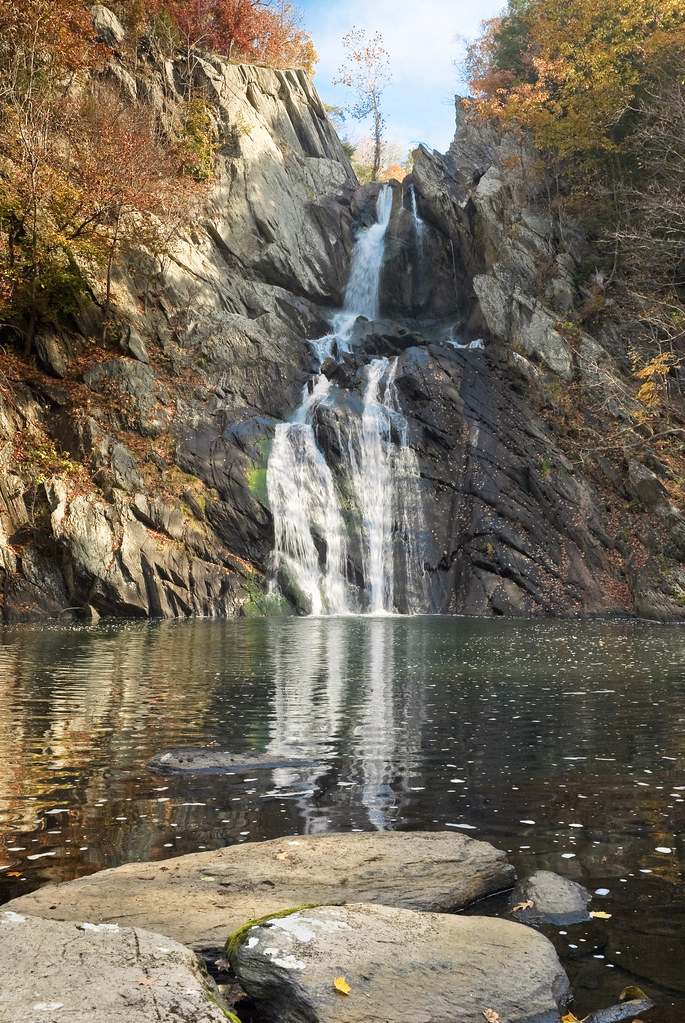
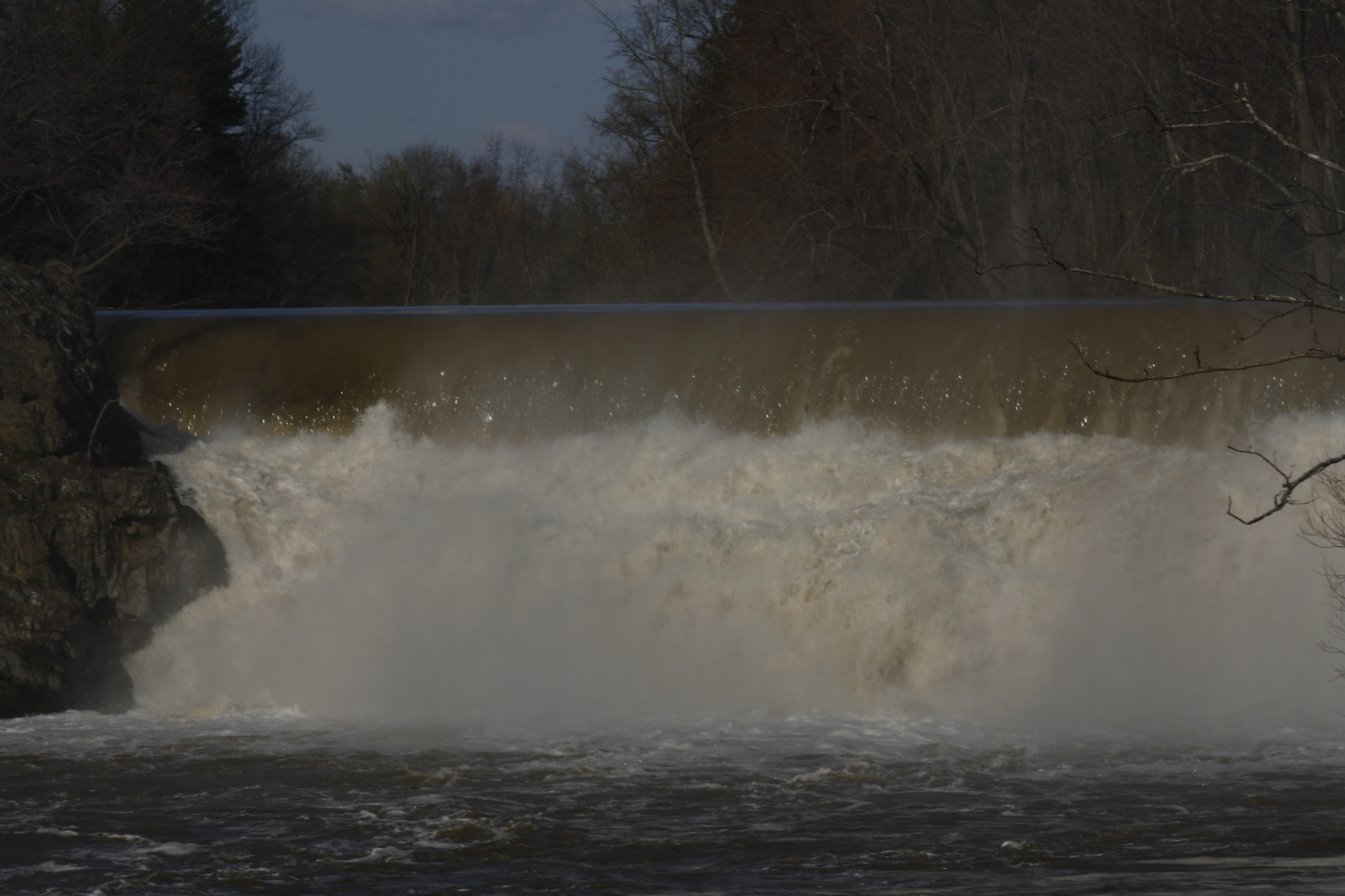
High Falls

View South
High Falls

2008 08-30 Panorama of the Historical Buildings in Austerlitz, New York

High Falls

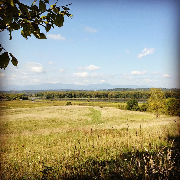
The Hudson Valley skyline
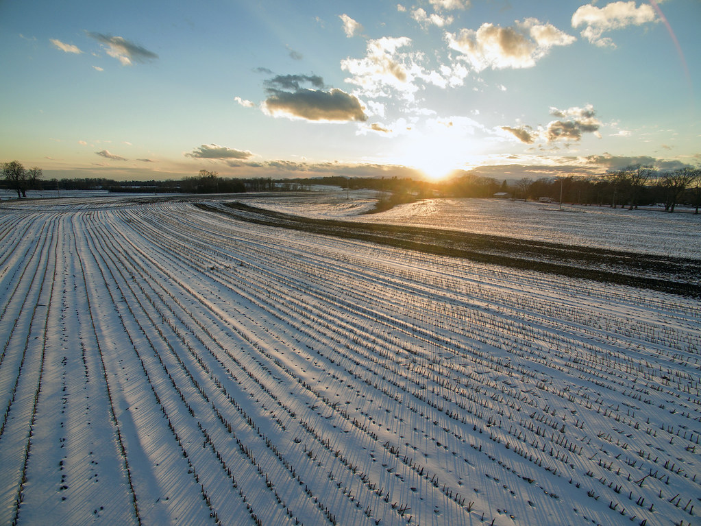
Winter Fields

Yellow over yellow

High Falls, Philmont, NY
The Summit

After all tomorrow is another day

Hummingbird Clearwing Moth, Hemaris thysbe

sunsetting over corn
Greenport path
High Falls Conservation Area
Long House

South bound we go. The wind was crazy tonight. Shelley was scared and pacing around the room. #NYC #February #2016

Pearl Crescent, Phyciodes tharos
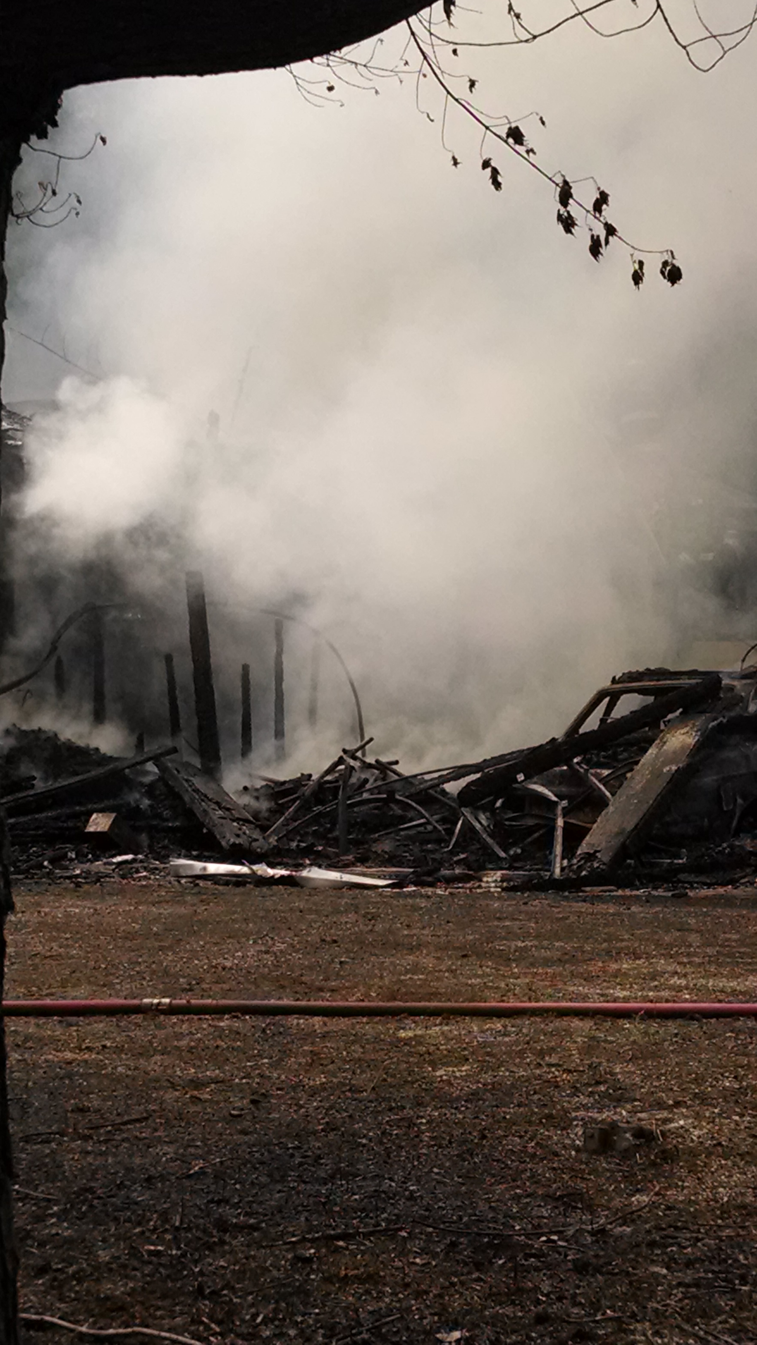
Structure fire Mill St. Egremont, MA

Kromer-Bennett Wedding
Sunset over the campground
The Mill
Upper Falls at Stuyvesant
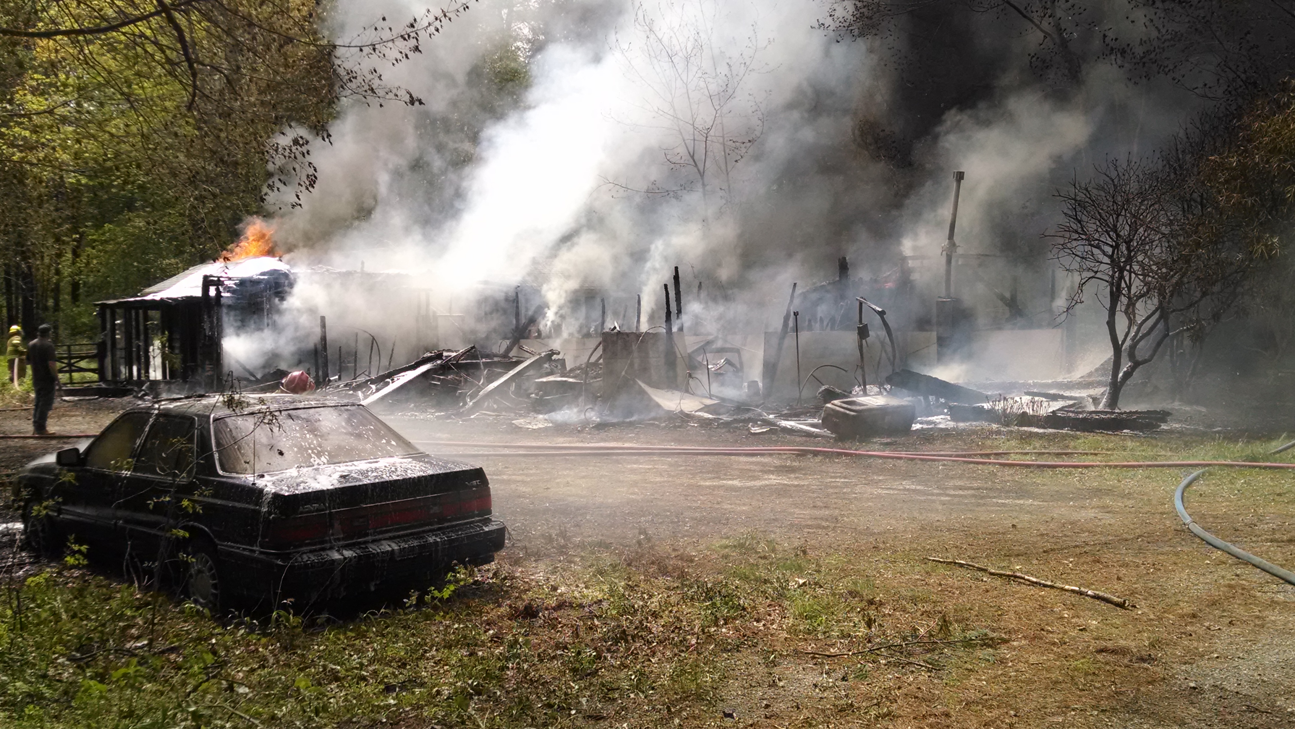
Structure fire Mill St. Egremont, MA
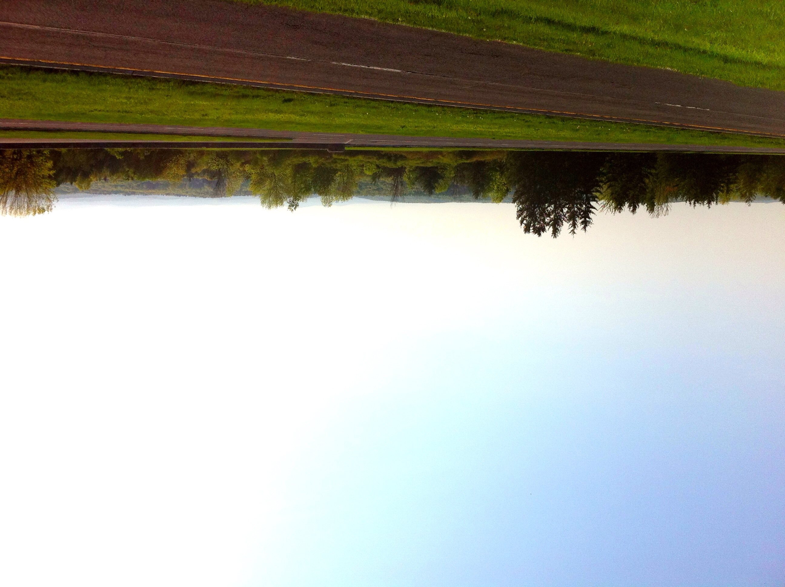
divided roadway
Topographic Map of Rigor Hill Rd, Chatham, NY, USA
Find elevation by address:

Places near Rigor Hill Rd, Chatham, NY, USA:
164 Fern Hill Rd
75 Nelson Ave
75 Nelson Ave
Ghent
Spencertown
Ghent
Ghent, NY, USA
34 Beaver Dam Rd
NY-66, Chatham, NY, USA
2542 Ny-66
73 Arch Bridge Rd, Ghent, NY, USA
149 Hudson Ave
99 Hudson Ave
Big Woods Road
67 Taconic Creek Rd
Punsit View Drive
3 Wentworth Ct
230 Stevers Crossing Rd
83 Kinderhook St
587 Whippoorwill Rd
Recent Searches:
- Elevation of Corso Fratelli Cairoli, 35, Macerata MC, Italy
- Elevation of Tallevast Rd, Sarasota, FL, USA
- Elevation of 4th St E, Sonoma, CA, USA
- Elevation of Black Hollow Rd, Pennsdale, PA, USA
- Elevation of Oakland Ave, Williamsport, PA, USA
- Elevation of Pedrógão Grande, Portugal
- Elevation of Klee Dr, Martinsburg, WV, USA
- Elevation of Via Roma, Pieranica CR, Italy
- Elevation of Tavkvetili Mountain, Georgia
- Elevation of Hartfords Bluff Cir, Mt Pleasant, SC, USA