Elevation of Ridge Road, Ridge Rd, Kentucky, USA

Location: United States > Kentucky > Mccreary County > Whitley City >

Longitude: -84.535072

Latitude: 36.757866

Elevation: -10000m / -32808feet

Barometric Pressure: 295KPa

Elevation Map:

elevation map of Ridge Road, Ridge Rd, Kentucky, USA

Satellite Map:

Satellite map of Ridge Road, Ridge Rd, Kentucky, USA

Related Photos:

2018 10-17 1005-1 NS C40-9W-9797 S/B 143 Revilo-Stearns, KY
2018 10-17 1323-1 NS ET44AC-3600 S/B 179 Burnside, KY
kentucky bigsouthforknationalrecreationarea southforkofthecumberlandriver devilsjumpoverlook
The Devil's Jump Overlook
Kentucky & Tennessee Railway - Rock Creek, McCreary County, Kentucky
replica museums nationalparkservice coalmine
Overlook view of Blue Heron museum
wild mountains nature waterfall stream scenic
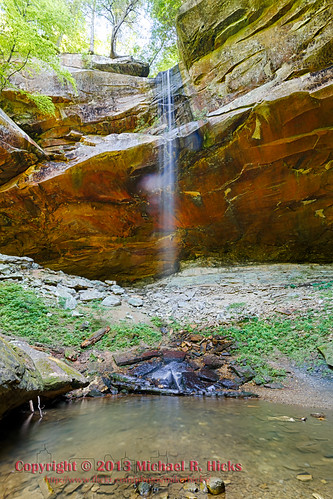
Yahoo falls
train
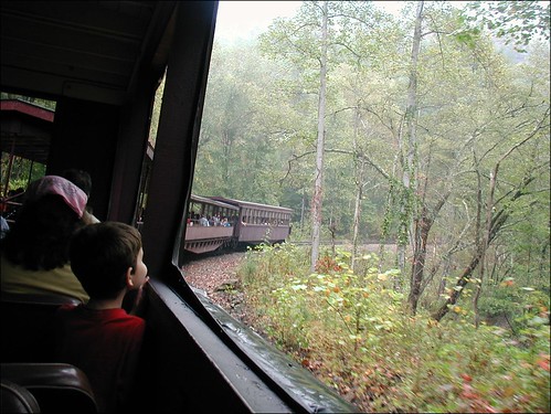
View from train window along the way
hat mascot cowboyhat travelhat
Closer view
hat mascot cowboyhat bigsouthforkscenicrailway
Ready to ride the rails with our travel mascot
ns 940 rathole cnotp 2nd district keno ky shelton cut dash9 standard cab
NS 940 at Shelton Cut
ky waterfalls
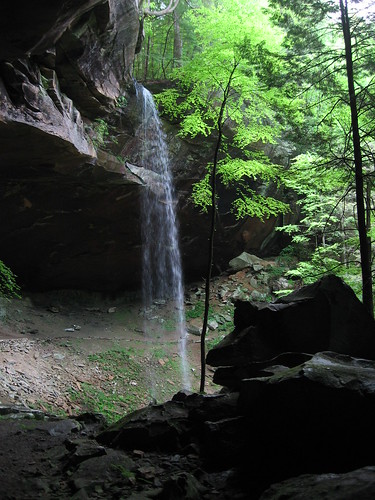
Yahoo Falls, Kentucky
waterfall kentucky yahoofalls bigsouthforknationalrecreationarea
Yahoooooooo!
memorialdwkdwp143pedited1
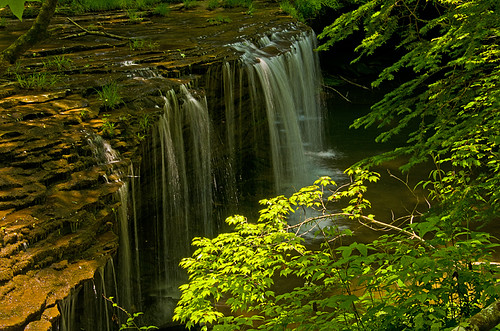
Princess Falls on Lick Creek
bearcreekoverlook bigsouthfork bigsouthforknationalriverrecreationarea bigsouthforkofthecumberlandriver kentucky mccrearycounty clouds dusk sundown sunset landscape sky appalachia cumberlandplateau
Don't it feel good, hey
DSCF4138, Shelton RD., Burnside, KY, 10-17-2018
landscape geotagged unitedstates hiking kentucky waterfalls flatrock bigsouthfork whitleycity camera:make=canon exif:make=canon exif:iso_speed=100 canon7d nashvillehikingmeetup geo:state=kentucky bigsouthforknationalriverrecreationarea exif:focal_length=15mm geo:countrys=unitedstates camera:model=canoneos7d exif:model=canoneos7d exif:lens=1020mm exif:aperture=ƒ13 geo:city=whitleycity geo:lat=3677223865 geo:lon=8451947777 geo:lon=84519445 geo:lat=36772221666667
Yahoo Falls
cumberland falls kentucky waterfall waterfalls
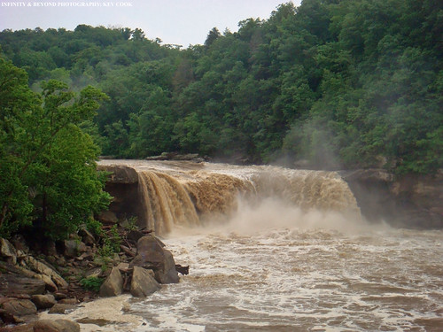
Cumberland Falls, Kentucky.
big south fork
018_15.JPG
droneshot ns9558 nscentraldivisionseconddistrictcnotp parkerslake kentucky unitedstates us
NS Train 147
ns8378 droneshot nscentraldivisionseconddistrictcnotp parkerslake kentucky unitedstates us
NS Train 179
panorama landscape geotagged unitedstates hiking kentucky hdr hilltop flatrock bigsouthfork whitleycity exif:iso_speed=100 sigma18200mmf3563osdc canon7d nashvillehikingmeetup geo:state=kentucky bigsouthforknationalriverrecreationarea geo:countrys=unitedstates exif:aperture=ƒ20 geo:city=whitleycity geo:lat=3674318466 geo:lon=8453207771 geo:lat=36743055 geo:lon=84531945
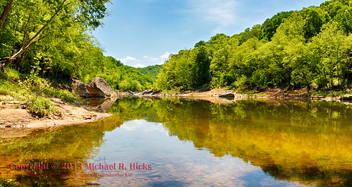
Big South Fork of the Cumberland River at Negro Creek (HDR/Panorama)
unitedstates kentucky whitleycity camera:make=canon exif:make=canon exif:iso_speed=100 geo:state=kentucky exif:focal_length=10mm geo:countrys=unitedstates camera:model=canoneos7d exif:model=canoneos7d exif:lens=1020mm exif:aperture=ƒ10 geo:city=whitleycity geo:lat=36772343333333 geo:lon=84519293333333
Yahoo Falls
bigsouthfork bigsouthforknationalriverrecreationarea bigsouthforkofthecumberlandriver devilsjumpoverlook kentucky mccrearycounty bwphotography blackandwhite clouds fog river
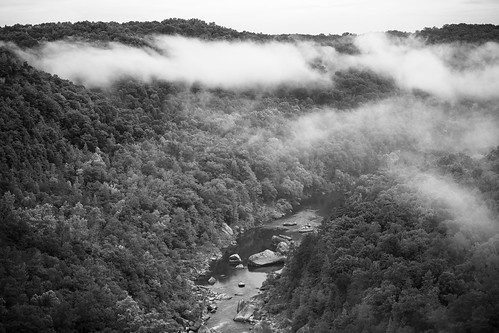
Appalachian monochrome
geotagged unitedstates hiking kentucky hilltop flatrock bigsouthfork whitleycity exif:iso_speed=100 canon7d nashvillehikingmeetup geo:state=kentucky bigsouthforknationalriverrecreationarea geo:countrys=unitedstates exif:aperture=ƒ13 geo:city=whitleycity geo:lat=36743055 geo:lat=3674297325 geo:lon=8453217125 geo:lon=84532221666667
Big South Fork of the Cumberland River at Negro Creek (HDR)
geotagged unitedstates hiking kentucky hilltop flatrock bigsouthfork whitleycity camera:make=canon exif:make=canon exif:iso_speed=800 exif:focal_length=18mm canon7d nashvillehikingmeetup geo:state=kentucky bigsouthforknationalriverrecreationarea geo:countrys=unitedstates camera:model=canoneos7d exif:model=canoneos7d exif:lens=18200mm exif:aperture=ƒ71 geo:city=whitleycity geo:lat=3675960643 geo:lon=8454772014 geo:lat=36759606666667 geo:lon=8454772
Yahoo Falls - Negro Creek - Sheltowee Trace Loop
landscape geotagged unitedstates hiking kentucky waterfalls flatrock bigsouthfork whitleycity camera:make=canon exif:make=canon canon7d nashvillehikingmeetup geo:state=kentucky bigsouthforknationalriverrecreationarea exif:focal_length=11mm exif:iso_speed=1250 geo:countrys=unitedstates camera:model=canoneos7d exif:model=canoneos7d exif:lens=1020mm exif:aperture=ƒ56 geo:city=whitleycity geo:lat=3677212825 geo:lon=8451943350 geo:lon=84519433333333 geo:lat=36772128333333
Yahoo Falls
bearcreekoverlook bigsouthforknationalriverrecreationarea canoneos7dmkii hdr kentucky landscape nature photography sigma1835f18dchsma spring outdoors usa exif:aperture=ƒ14 camera:model=canoneos7dmarkii camera:make=canon exif:isospeed=100 geo:state=kentucky geo:country=usa exif:focallength=18mm geocity geo:lon=84530278333333 geolocation exif:model=canoneos7dmarkii exif:lens=1835mm geo:lat=36626945 exif:make=canon
Bear Creek Overlook #14