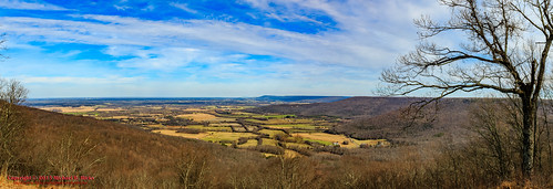
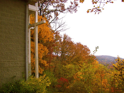
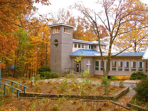
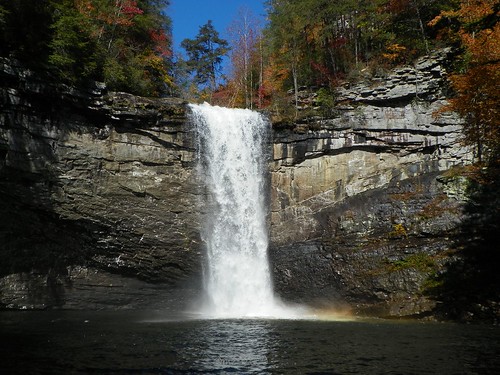
Elevation of Ridge Cliff Dr, Monteagle, TN, USA

Location: United States > Tennessee > Marion County > Monteagle >

Longitude: -85.823965

Latitude: 35.201489

Elevation: 535m / 1755feet

Barometric Pressure: 95KPa

Elevation Map:

elevation map of Ridge Cliff Dr, Monteagle, TN, USA

Satellite Map:

Satellite map of Ridge Cliff Dr, Monteagle, TN, USA

Related Photos:

travel history giant memorial cross tennessee tenn southern trail majestic bluff cumberlandplateau perimeter sewanee theuniversityofthesouth franklincounty bigcross warmemorialcross nikond700 lynnroebuckphotography
The War Memorial Cross, Sewanee,Tennessee
halloween cemetery grave graveyard statue dead death scary tennessee eerie graves creepy spooky funeral horror corpse statuary somber fright frightening cadaver frightful sewanee universityofthesouth buriel
Brace for Death
tennessee sewanee universityofthesouth
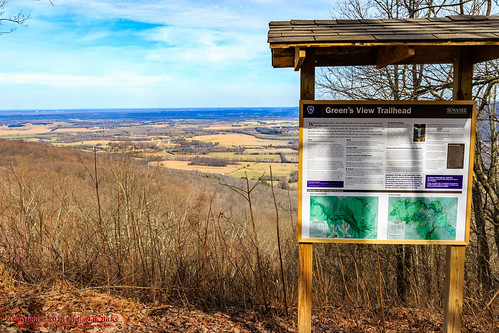
Green's View
students tennessee commencement liberalarts sewanee universityofthesouth
Commencement 2009
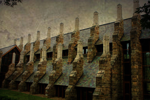
sculpture art college architecture education university tennessee gothic goth gothicarchitecture collegecampus sewanee universityofthesouth thedomain monteaglemountain
To Build The Unusual
sculpture art college halloween architecture scary education university tennessee gothic goth eerie haunted creepy horror haunting haunt fright frightening frightful spook gothicarchitecture collegecampus sewanee universityofthesouth thedomain monteaglemountain
Horror Scene
trees light moon water night puddle full soe goldstaraward csm242000 gaveyachills
Full Moon Puddle
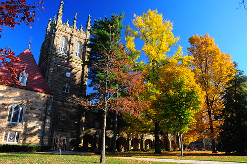
blue autumn trees usa brown green fall beautiful beauty yellow stone architecture america buildings private gold nikon university tn tennessee south united unitedstatesofamerica masonry american states avenue 2009 episcopal domain theology sewanee universityofthesouth d90 southernbreeze thedomain nikond90 godsmountain
University of the South, Sewanee, TN - h324
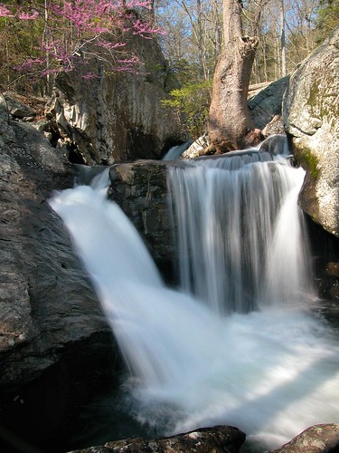
stone creek forest waterfall stream cove falls foster fiery redbud grundy gizzard
Waterfalls and Redbuds
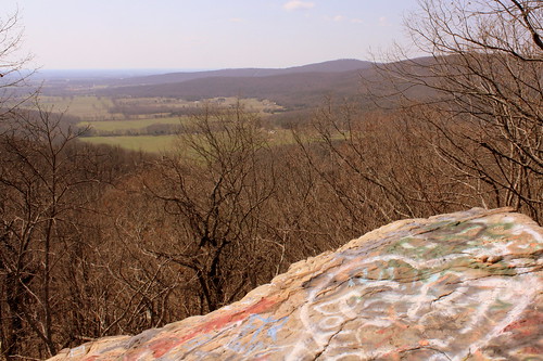
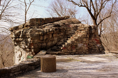
scenicoverlook boulder sewanee tn tennessee franklincounty dixiehighway tn15 us64 us41a us41 universityofthesouth turnout pulloff picnicarea cumberlandplateau bmok graffiti
Big Rock & Scenic Overlook - Sewanee, TN
tn tennessee boulder cumberlandplateau turnout sewanee universityofthesouth scenicoverlook dixiehighway us41 picnicarea franklincounty us64 roadgeek pulloff us41a roadfan tn15 bmok
Big Rock & Scenic Overlook - Sewanee, TN
mountain tennessee mountainview sewaneetennessee monteagletennessee
Sewanee Tennessee 062013
station train tn tennessee depot sewanee universityofthesouth franklincounty ncstl bmok bmok2 bmokdepot
Sewanee, TN Train Depot (?)
Green's View Road
winter usa nature geotagged outdoors photography unitedstates hiking tennessee hdr sewanee greensview geo:country=unitedstates camera:make=canon exif:make=canon geo:state=tennessee exif:lens=1750mm exif:aperture=ƒ10 exif:isospeed=200 exif:focallength=23mm canoneos7dmkii camera:model=canoneos7dmarkii exif:model=canoneos7dmarkii geo:city=sewanee geo:location=sewanee geo:lat=3521755333 geo:lon=8591818333 geo:lon=85918055 geo:lat=352175
Sewanee - February 6, 2016
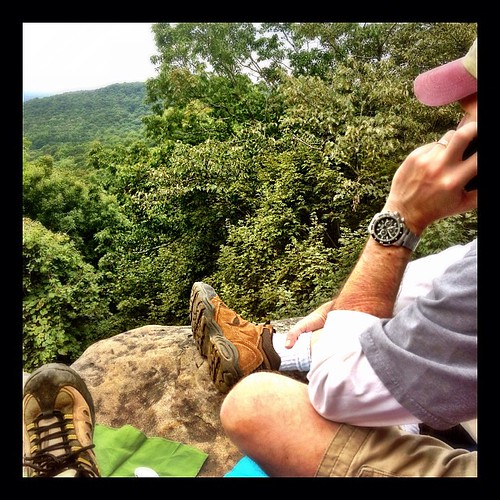
square squareformat iphoneography instagramapp uploaded:by=instagram foursquare:venue=4b4ad146f964a520a88e26e3
Our picnic spot on Sewanee's campus (The University of the South) during our hike on the Perimeter Trail. We spent a wonderful 4 days, 3 nights in Little Bear Cabin in Monteagle, TN. The views were spectacular, from the cabin and in our many hikes. Planni
sunset sky orange flora
Airport Sunset
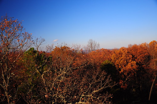
usa tower america fire climb nikon view tn tennessee united unitedstatesofamerica watch descent american vista states treeline 2009 firetower ascent sewanee d90 southernbreeze nikond90
Treetop View h480
winter panorama usa nature geotagged outdoors photography unitedstates hiking tennessee hdr sewanee greensview geo:country=unitedstates camera:make=canon exif:make=canon geo:state=tennessee exif:lens=1750mm exif:aperture=ƒ11 exif:isospeed=160 exif:focallength=23mm canoneos7dmkii camera:model=canoneos7dmarkii exif:model=canoneos7dmarkii geo:city=sewanee geo:location=sewanee geo:lat=3521762500 geo:lon=8591804667 geo:lon=85918055 geo:lat=352175
Sewanee - February 6, 2016
tennessee convent anglican episcopal cumberlandplateau
St. Mary's Convent
episcopal anglican tennessee cumberlandplateau convent midtownmemphis downtownmemphis memphis downtown midtown medicalcenter winchesterpark church protestant historic old youngadults
St. Mary's Convent
bear family blue trees friends favorite mountain cold history water sunshine set creek swimming spectacular fun photography see amazing cool fantastic sandstone rocks skies natural crystal hiking tennessee wildlife indian scenic large warmth deer spirits clear crisp massive experience limestone recreation vistas weekends splash spiritual must signal eagles inviting sparkling rugged streaming fossils fosterfalls cumberlandplateau hawks tons escarpment splashing chills bolders grundy willderness cumberlandstatepark fierygizzardtrail csm242000 gaveyachills mygearandme mygearandmepremium
Cliff Close-Up~
bear family blue trees friends favorite mountain cold history water sunshine set creek forest swimming woodland spectacular fun photography see amazing cool fantastic woods sandstone rocks skies natural crystal hiking tennessee wildlife indian hard scenic large warmth deer spirits clear crisp bark massive experience stunning limestone recreation vistas weekends splash spiritual must signal eagles inviting sparkling rugged streaming fossils fosterfalls cumberlandplateau hawks tons escarpment splashing chills bolders grundy willderness cumberlandstatepark fierygizzardtrail csm242000 gaveyachills mygearandme
A place in Tennessee
fosterfalls tennesseewaterfalls fierygizzardcreek
Foster Falls
bear family blue trees friends favorite mountain cold history water sunshine set creek swimming spectacular fun photography see amazing cool fantastic sandstone rocks skies natural crystal hiking tennessee wildlife indian scenic large warmth deer spirits clear crisp massive experience limestone recreation vistas weekends splash spiritual must signal eagles inviting sparkling rugged streaming fossils fosterfalls cumberlandplateau hawks tons escarpment splashing chills bolders grundy willderness cumberlandstatepark fierygizzardtrail csm242000 gaveyachills mygearandme
From here
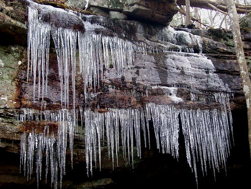
bear family blue trees friends favorite mountain cold history ice water sunshine set creek swimming spectacular fun photography see frozen amazing cool fantastic sandstone rocks skies natural crystal hiking tennessee wildlife indian scenic large warmth deer spirits clear crisp massive experience icicle limestone recreation vistas weekends splash spiritual must signal eagles inviting sparkling rugged streaming fossils fosterfalls cumberlandplateau hawks tons escarpment splashing chills bolders grundy willderness cumberlandstatepark fierygizzardtrail csm242000 gaveyachills
Icicle Curtains / balance in nature
usa geotagged waterfall unitedstates tennessee waterfalls sewanee tantallon tennesseestateparks franklinmarionstateforest geo:lat=3510940372 geo:lon=8586320847
Franklin-Marion State Forest
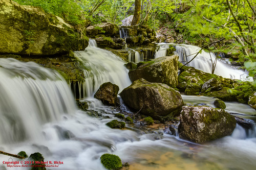
usa landscape geotagged spring unitedstates hiking tennessee waterfalls hdr sewanee tantallon photomatix tennesseestateparks southcumberlandstatepark canon7d mrandmrsharryleecarternaturalarea sigma18250mmf3563dcmacrooshsm lostcovecascades geo:lat=3511935843 geo:lon=8591021402 geo:lat=3511935347 geo:lon=8591037084
Lost Cove Cascades - May 4, 2014
usa geotagged spring unitedstates hiking tennessee hdr photomatix tracycity canon7d lankfordtown bigfierygizzardcreek sigma18250mmf3563dcmacrooshsm fierygizzardstatenaturalarea geo:lat=3523871200 geo:lon=8575505357
Big Fiery Gizzard Creek
usa geotagged unitedstates tennessee sewanee geo:lat=3520229333 geo:lon=8594296833
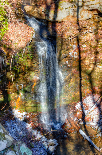
Sewanee Southern Section Perimeter Trail - Bridal Veil Falls
nature canon landscape photography waterfalls hdr fosterfalls ef24105mmf4lisusm canonef24105mmf4lisusm canon6d
Foster Falls-2.jpg
usa geotagged waterfall unitedstates tennessee waterfalls sewanee geo:lon=8594297333 geo:lat=3520229167
Sewanee Southern Section Perimeter Trail - Bridal Veil Falls
travel architecture landscape unitedstates tennessee churches sewanee
All Saints Chapel
mrieder markusrieder nikon d7200 nikond7200 vacation urlaub fotoreise phototrip usa 2016 usa2016 tennessee statepark nature natur landscape landschaft hiking wandern outdoor fierygizzardtrail southcumberlandstatepark southcumberland fierygizzard trail creek bach
Fiery Gizzard Trail
bear family blue trees friends favorite mountain cold history water sunshine set creek swimming spectacular fun photography see amazing cool fantastic sandstone rocks skies natural crystal hiking tennessee wildlife indian scenic large warmth deer spirits clear crisp massive experience limestone recreation vistas weekends splash spiritual must signal eagles inviting sparkling rugged streaming fossils fosterfalls cumberlandplateau hawks tons escarpment splashing chills bolders grundy willderness cumberlandstatepark fierygizzardtrail csm242000 gaveyachills
A Mountain's Stream
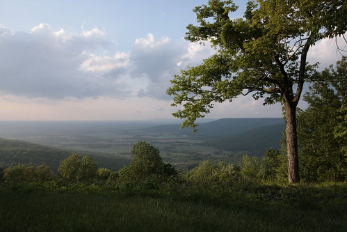
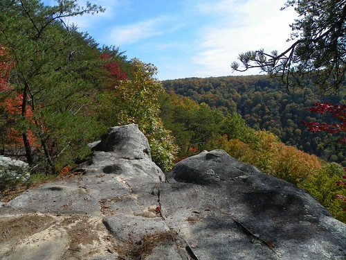
fall tennessee fallfoliage overlook cumberland tennesseeoverlook sawanee sawaneeoverlook
Greens Overlook near Sewanee TN
longexposure usa creek forest us waterfall woods flora nikon tennessee unitedstatesofamerica bosque nikkor riachuelo cascada quebrada sewanee d4 exposiciónlarga neutraldensityfilter 2470mmf28g filtrodedensidadneutra bwnd30 wigginscreek 2012102010344
Wiggins Creek
usa geotagged unitedstates tennessee hdr tennesseestateparks fierygizzard southcumberlandstatepark tracycity camera:make=canon exif:make=canon exif:isospeed=100 grundyforeststatenaturalarea canon7d geo:state=tennessee exif:focallength=16mm geo:countrys=unitedstates camera:model=canoneos7d exif:model=canoneos7d exif:lens=1020mm exif:aperture=ƒ16 lankfordtown bigfierygizzardcreek geo:city=tracycity geo:lat=3524457667 geo:lon=8575395500 geo:lon=85753955 geo:lat=35244576666667
Big Fiery Gizzard Creek - Grundy Forest State Natural Area - Fiery Gizzard Trail - March 16, 2013
geotagged unitedstates hiking tennessee tennesseestateparks fierygizzard southcumberlandstatepark tracycity camera:make=canon exif:make=canon exif:isospeed=200 exif:focallength=18mm sigma18200mmf3563osdc grundyforeststatenaturalarea canon7d geo:state=tennessee nashvillehikingmeetup geo:countrys=unitedstates camera:model=canoneos7d exif:model=canoneos7d exif:lens=18200mm exif:aperture=ƒ80 lankfordtown geo:city=tracycity geo:lat=3525037750 geo:lon=8574835212 geo:lat=35250378333333 geo:lon=85748351666667
Little Fiery Gizzard Creek - Fiery Gizzard Trail - March 16, 2013
Foster falls falling
summer landscape geotagged unitedstates hiking tennessee tennesseestateparks fierygizzard southcumberlandstatepark tracycity grundyforeststatenaturalarea canon7d nashvillehikingmeetup lankfordtown littlefierygizzardcreek sigma18250mmf3563dcmacrooshsm geo:lat=3525061200 geo:lon=8574868800
Little Fiery Gizzard Creek -August 4, 2013
photographyforrecreation
Into the light