Elevation of Richfield, NY, USA
Location: United States > New York > Otsego County >
Longitude: -75.084475
Latitude: 42.8679871
Elevation: 521m / 1709feet
Barometric Pressure: 95KPa
Elevation Map:
Satellite Map:
Related Photos:
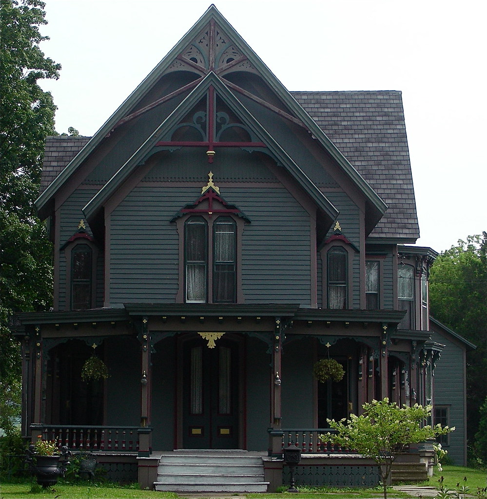
Queen Anne Victorian
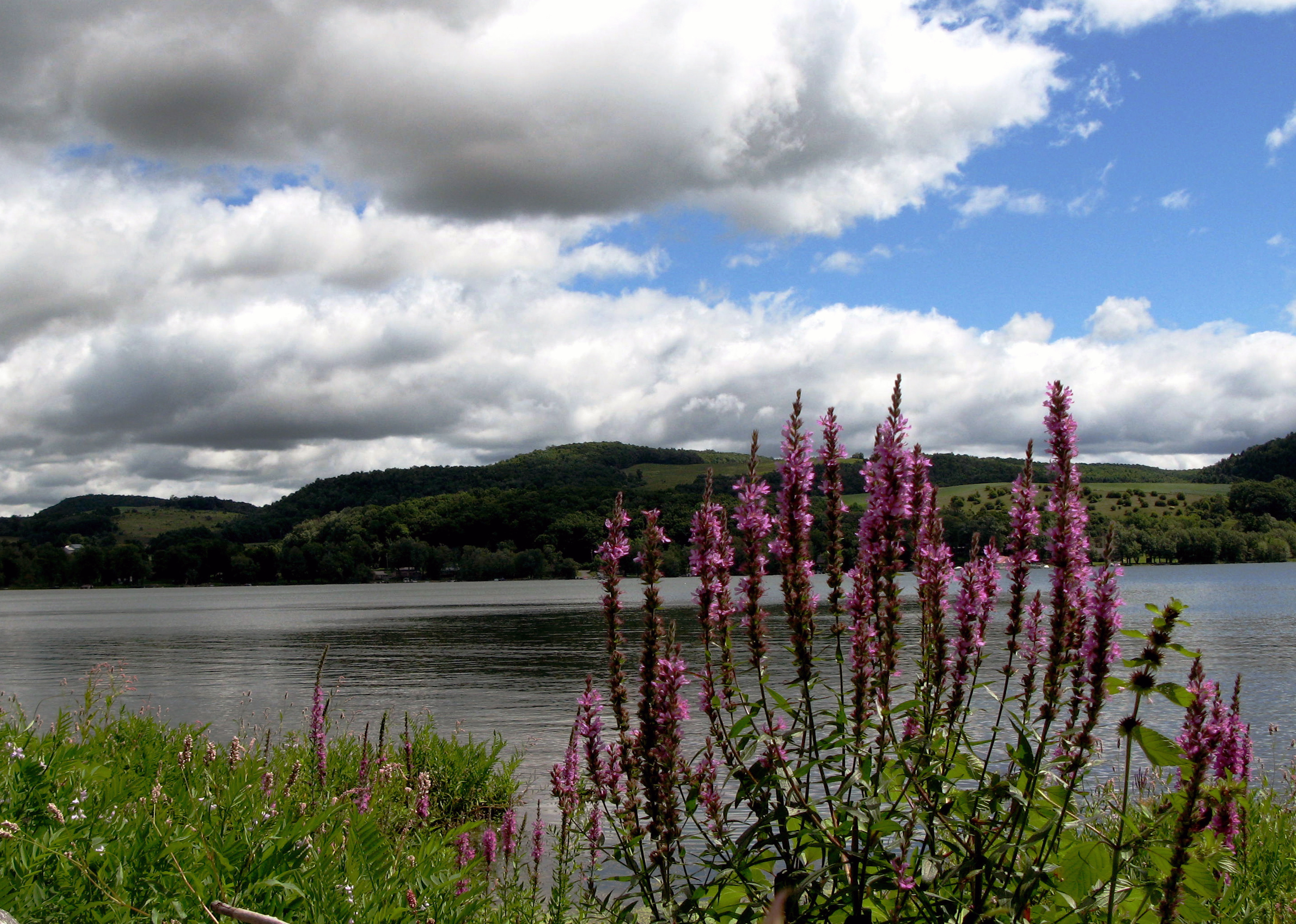
Lake Canadarago

Sunset Hill, 1923, by architect Dwight James Baum
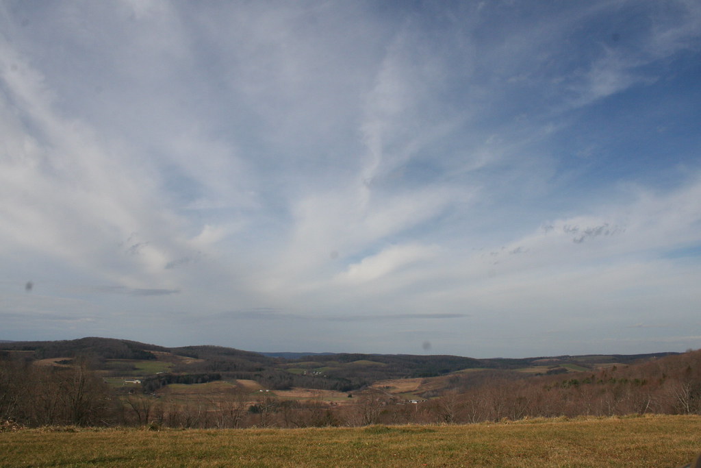
Fly Creek valley
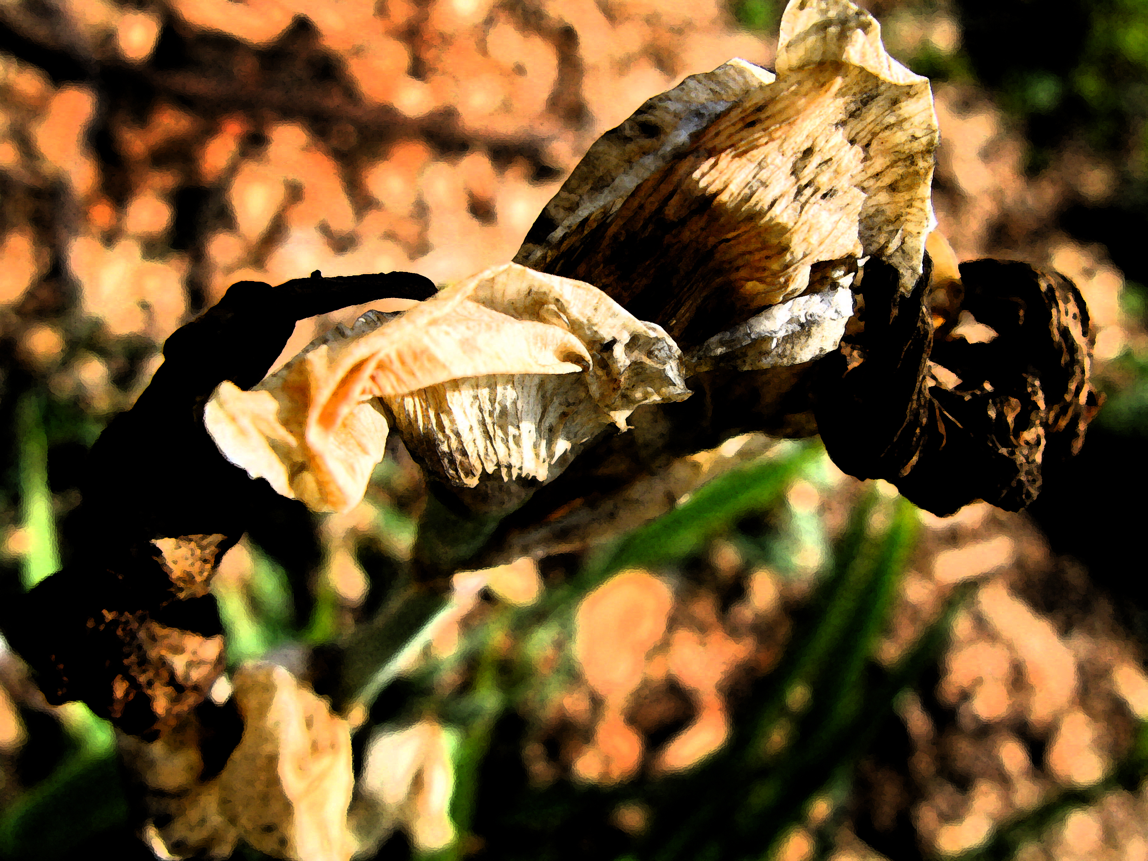
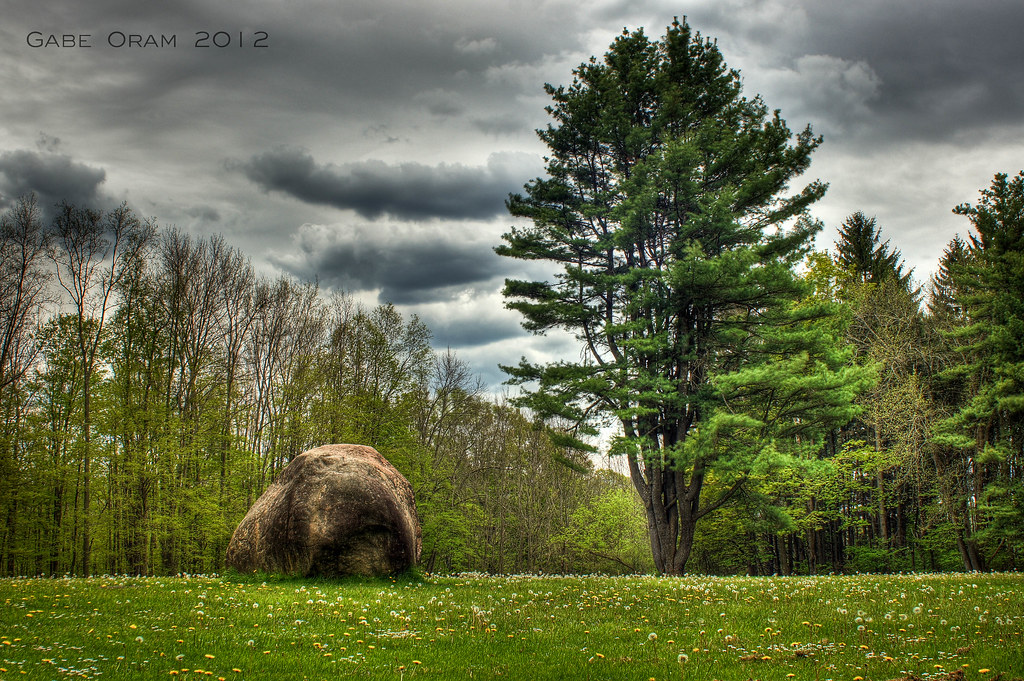
Dead Lily

Ward's View, Herkimer Co., NY

Ward's View, Herkimer Co., NY

Ward's View, Herkimer Co., NY
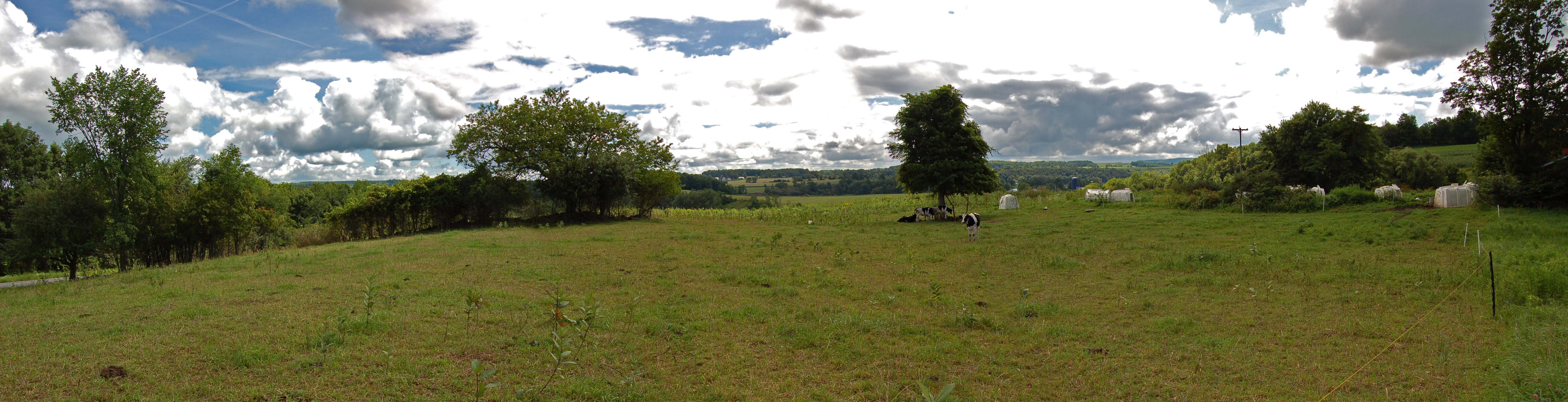
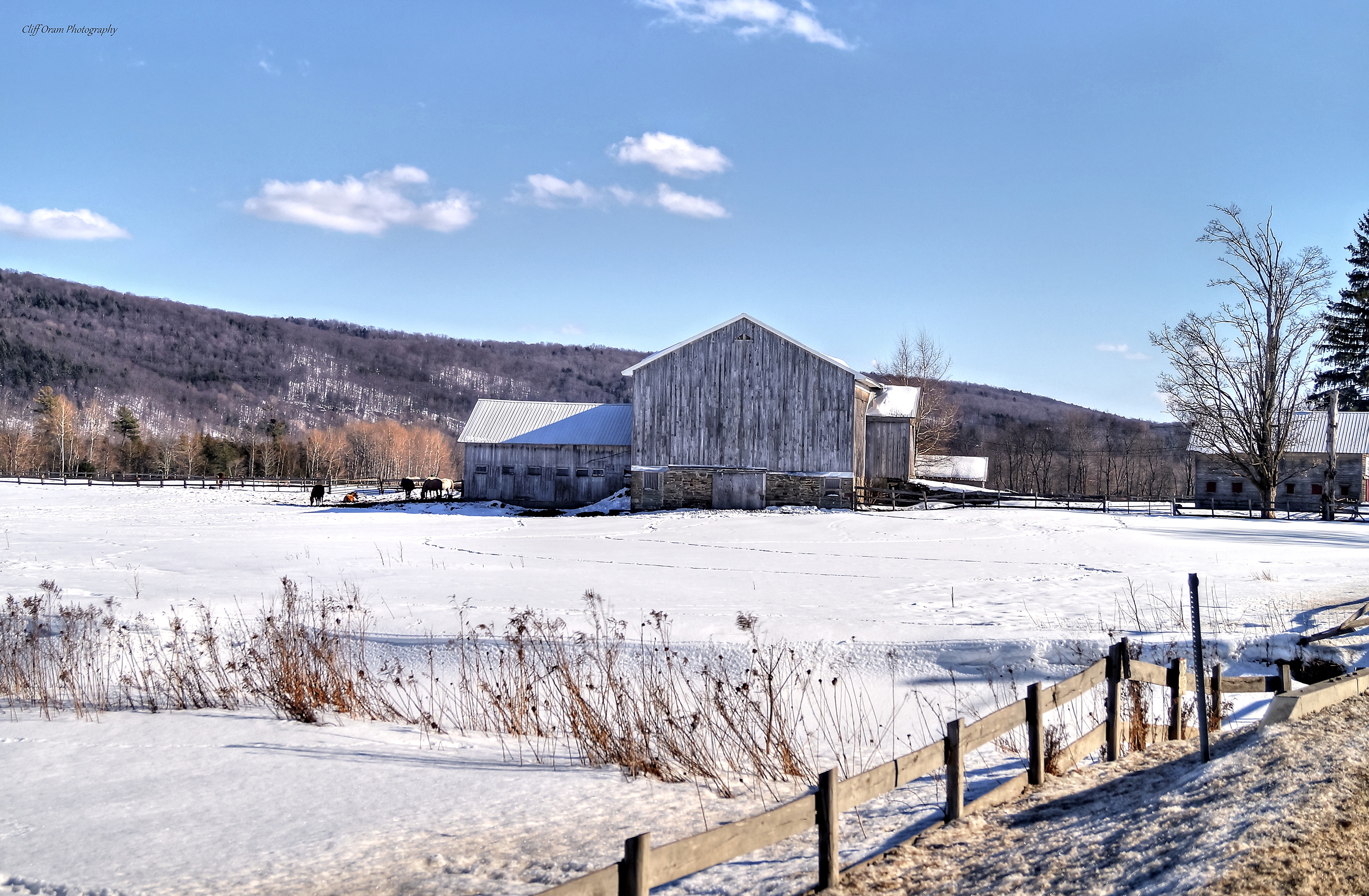
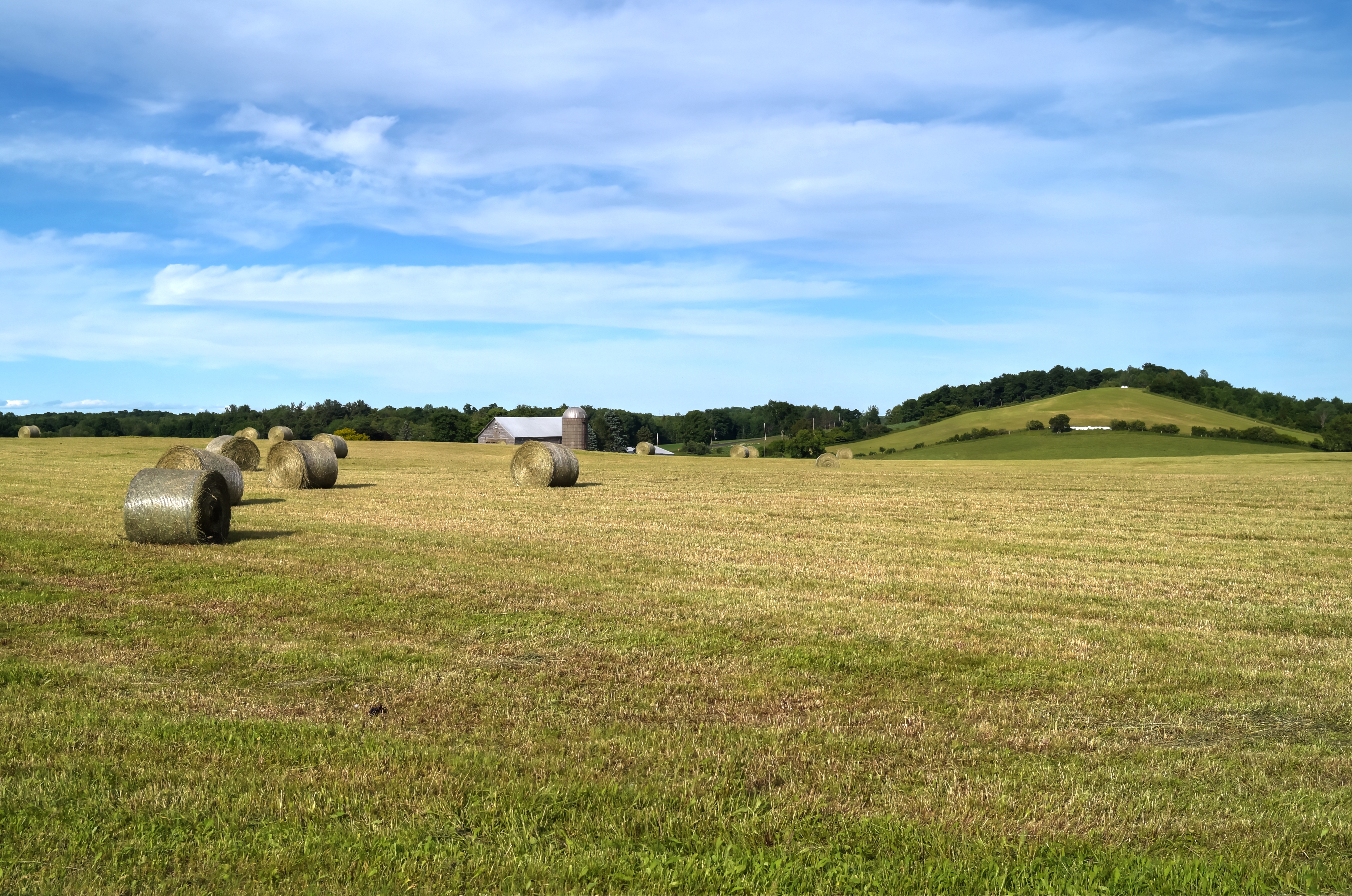
Farm Panorama
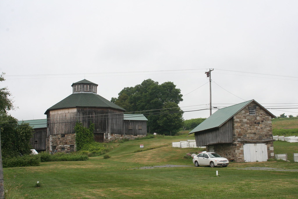
Baker Octagon Barn (added 1984 - - #84002887)

Ward's View, Herkimer Co., NY

Former D. L. & W. ROW
Abandoned D. L. & W. RR, Bridgewater, NY
looks like rain. . . .

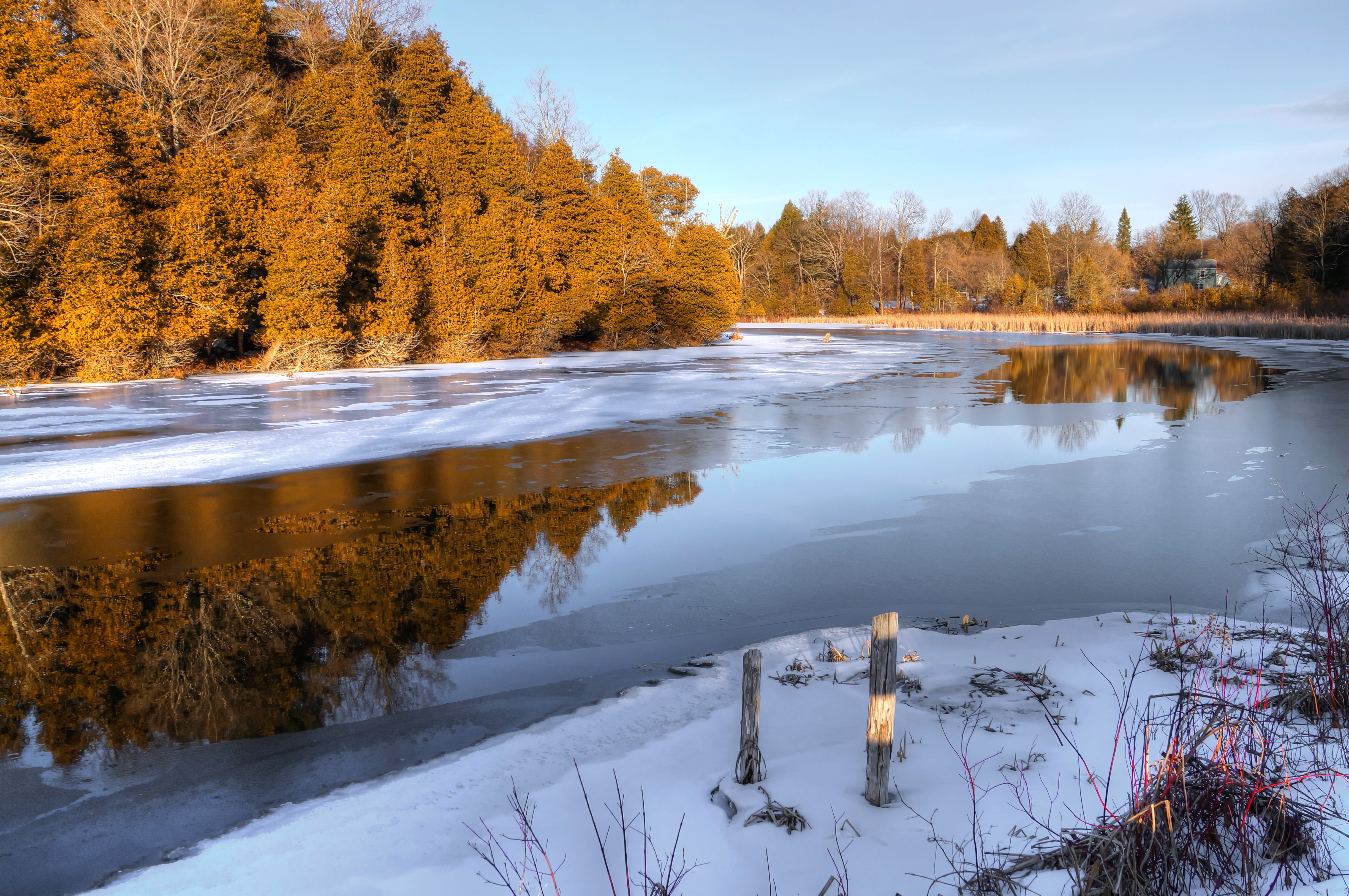
Basswood Pond
Field Of Snow

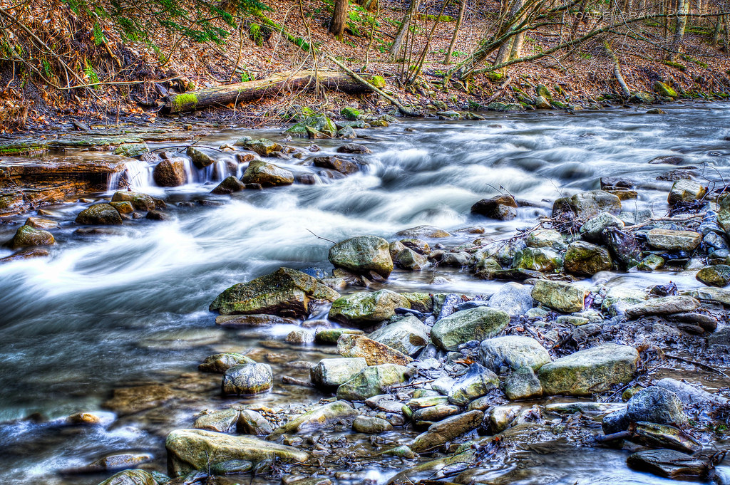
The Gorge
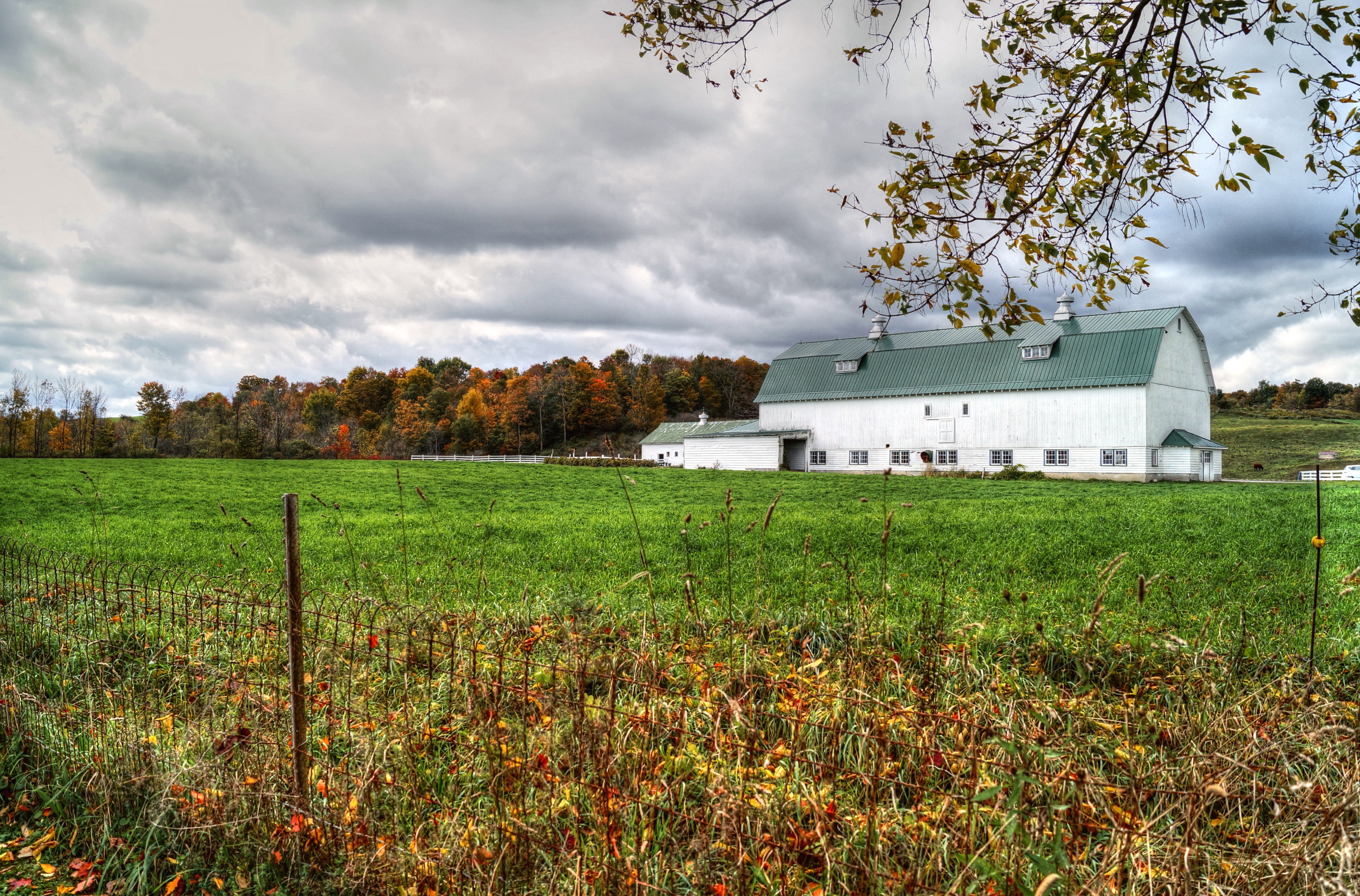
Cedarville Barn
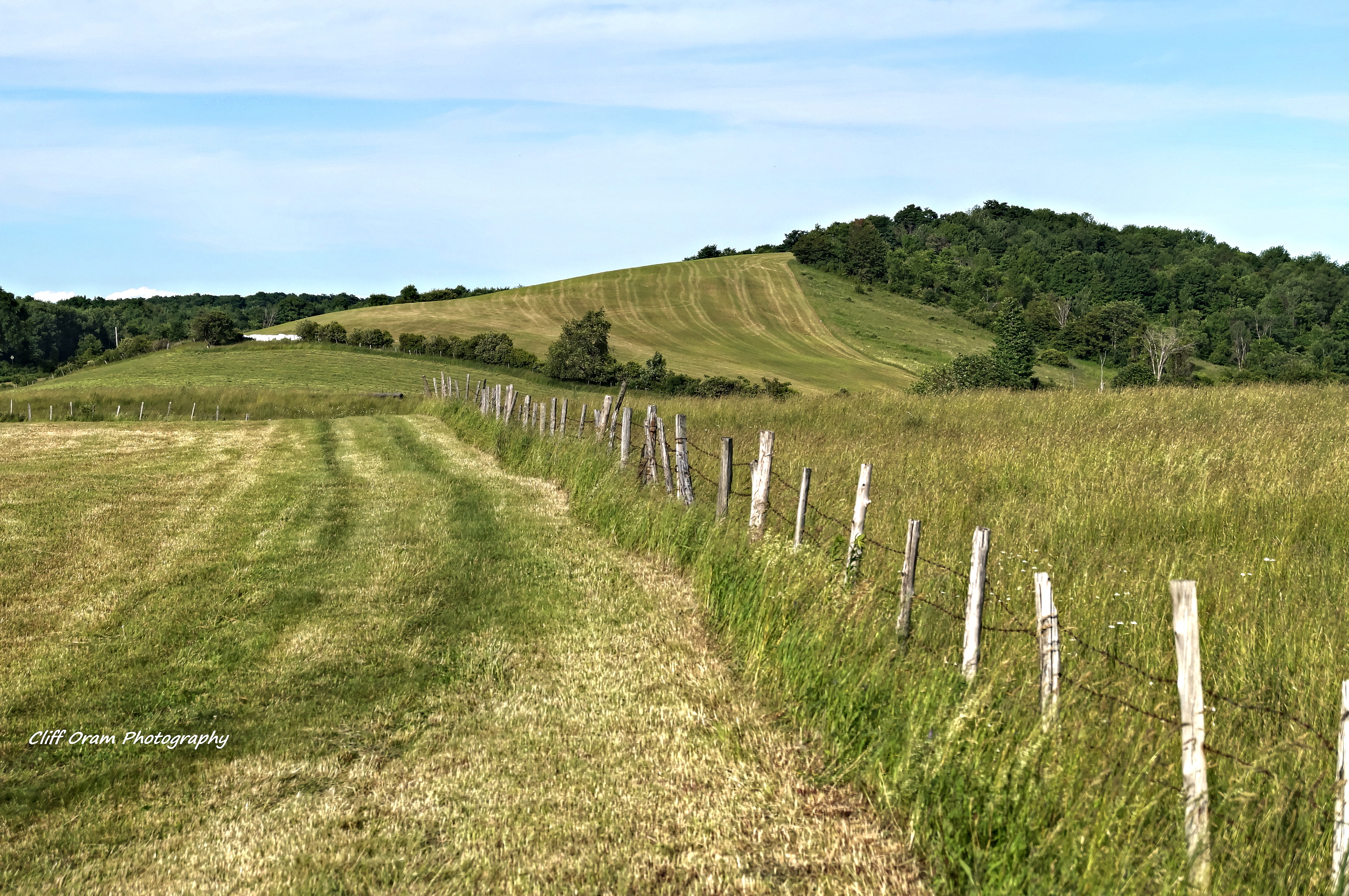
On The Other Side Of The Fence
Chepatchet Pond

Gilded Birthday FDT
Out In The Country
short and tall
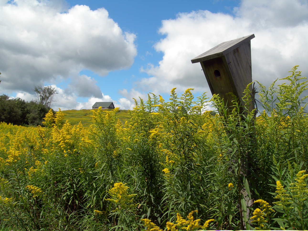
house.for the birds
Amber Waves
Lallier-Walton Wedding-1

Raging Against the Dying Light
ilion gorge again

20150528-IMG_5140
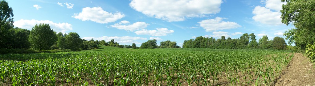
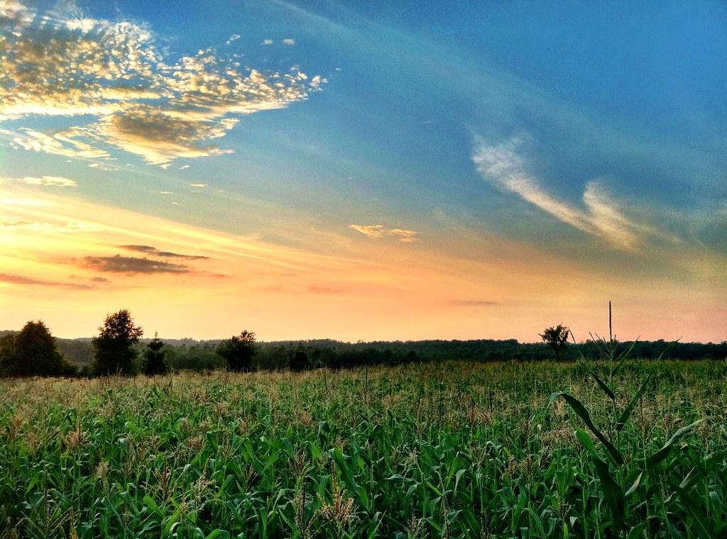
Central New York corn field
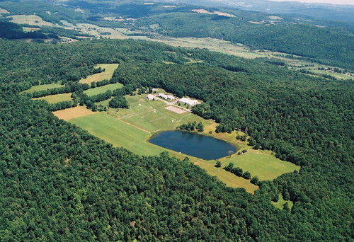
Bed Bug Hill Farm, Fly Creek, NY

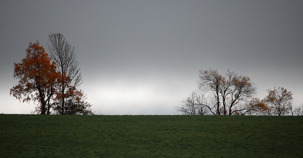
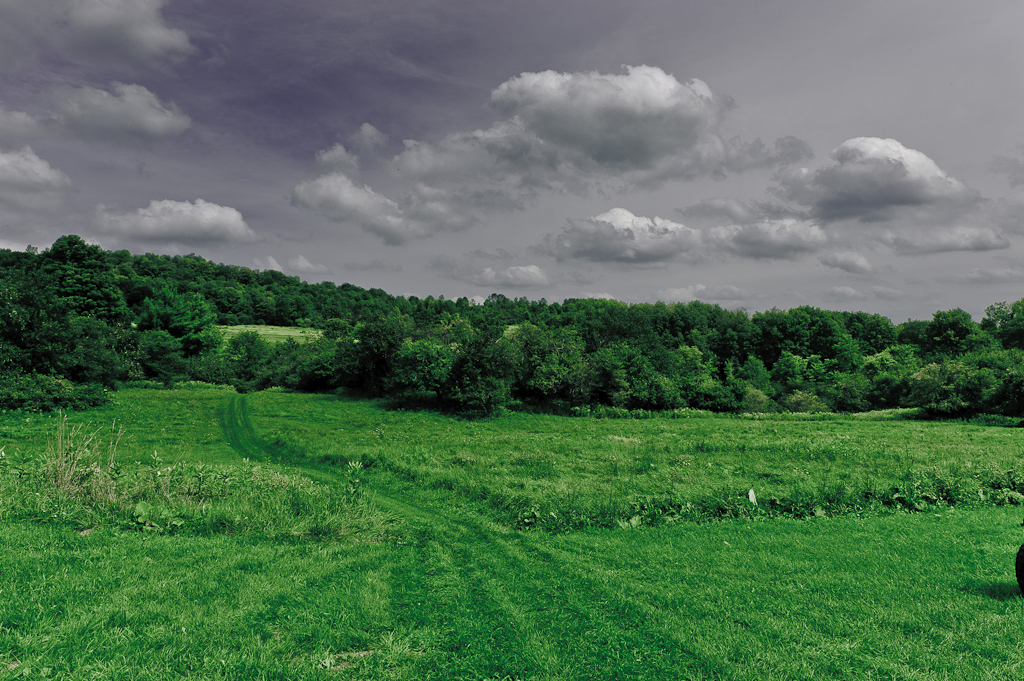
Overcast Winter Field
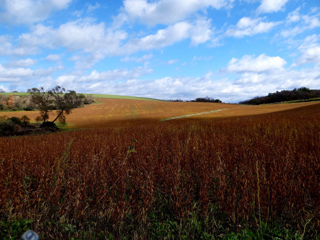
Lotta beans here.
Topographic Map of Richfield, NY, USA
Find elevation by address:

Places in Richfield, NY, USA:
Places near Richfield, NY, USA:
1645 Us-20
1030 Co Hwy 25
Richfield Springs, NY, USA
122 Allen Rd
Exeter
Mc Koons Rd, Richfield Springs, NY, USA
116 Stone Rd
NY-51, West Winfield, NY, USA
Frost Hill Rd, West Winfield, NY, USA
221 Burrows Rd
Richfield Springs
County Highway 22
County Highway 22
County Highway 22
517 Fairground Rd
Co Rd 22, Richfield Springs, NY, USA
145 South St
Forks Rd, West Winfield, NY, USA
E Main St, West Winfield, NY, USA
190 South St
Recent Searches:
- Elevation of Corso Fratelli Cairoli, 35, Macerata MC, Italy
- Elevation of Tallevast Rd, Sarasota, FL, USA
- Elevation of 4th St E, Sonoma, CA, USA
- Elevation of Black Hollow Rd, Pennsdale, PA, USA
- Elevation of Oakland Ave, Williamsport, PA, USA
- Elevation of Pedrógão Grande, Portugal
- Elevation of Klee Dr, Martinsburg, WV, USA
- Elevation of Via Roma, Pieranica CR, Italy
- Elevation of Tavkvetili Mountain, Georgia
- Elevation of Hartfords Bluff Cir, Mt Pleasant, SC, USA