Elevation of Rich Hollow Rd, Erwin, TN, USA
Location: United States > Tennessee > Unicoi County > Erwin >
Longitude: -82.396516
Latitude: 36.142942
Elevation: 623m / 2044feet
Barometric Pressure: 94KPa
Elevation Map:
Satellite Map:
Related Photos:
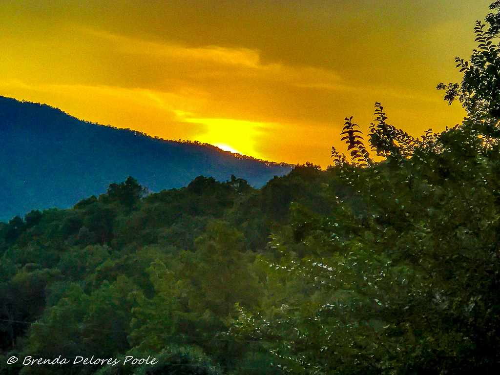
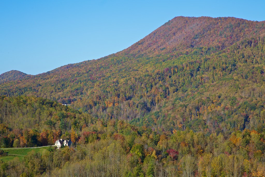
Buffalo Mountain Sunset_-1643-Edit

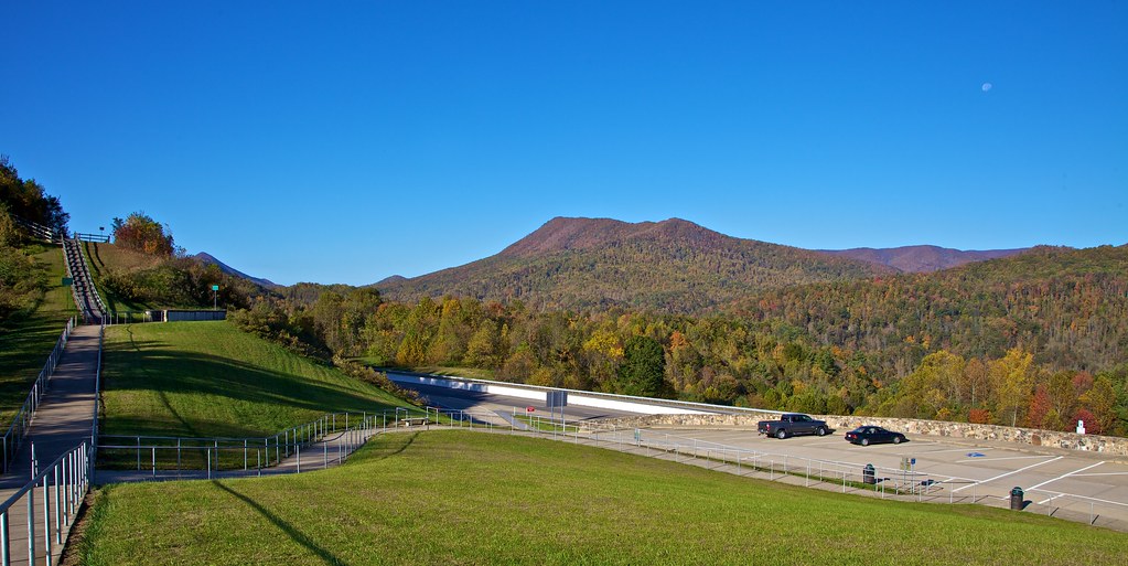
203 walking down path to parking lot

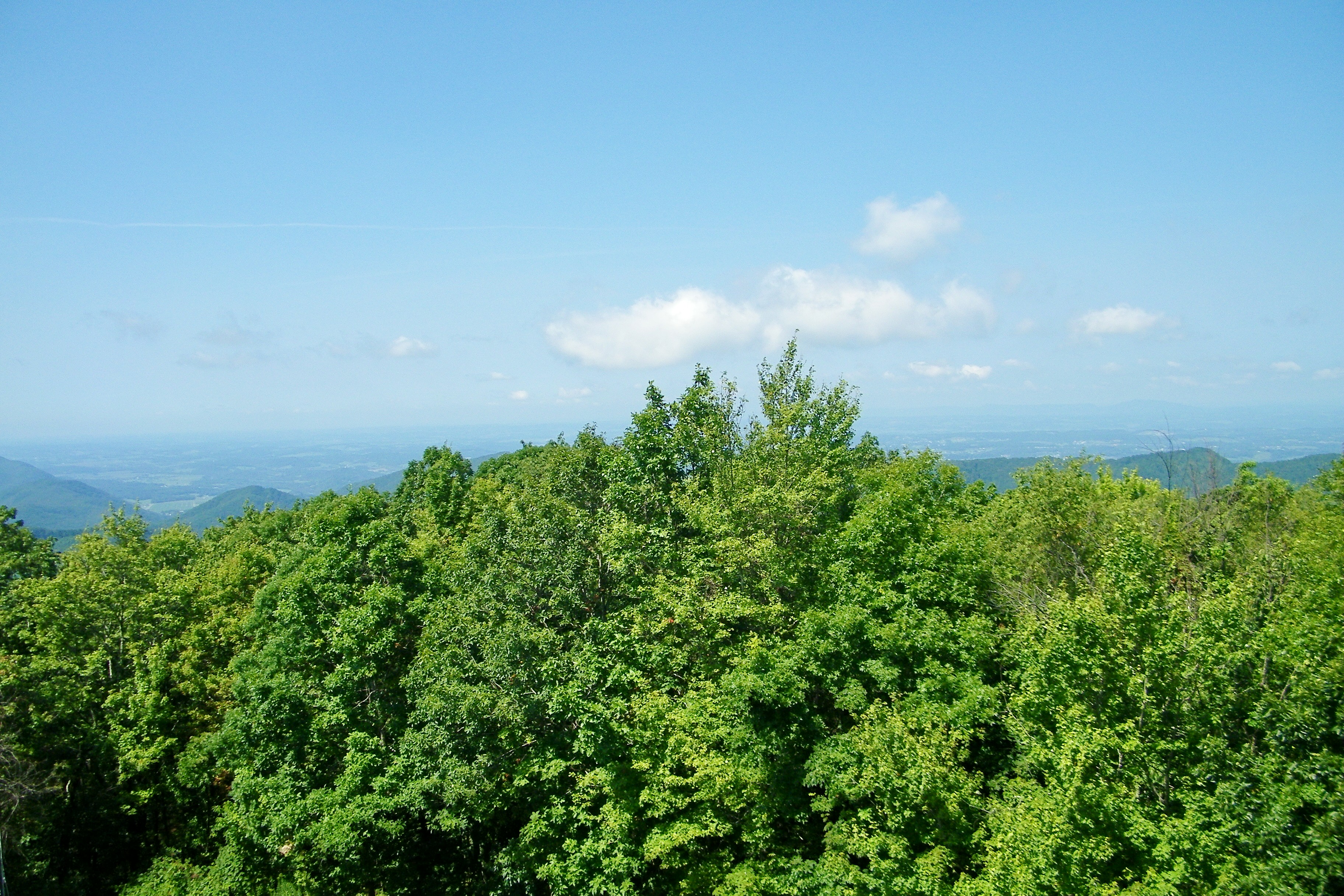
Buffalo Pano

Pinnacle Mountain Fire Tower HDR Panorama
Pinnacle Mountain Lookout Tower

201 Claire on the trail

195 Trail to top of hill at rest stop in Tennessee
199 View top of the trail
193 First Scenic Lookout on Hwy 26 East into Tenn

200 Thomas on top of the hill over looking the view
198 View from top of the hill

View from White Rocks on Buffalo Mountain
Appalachian Trail

View at the top, is worth every step. #citypark #johnsoncitytn #buffalomountain #ATtraining
Appalachian Trail

View-Top of Lost Cove
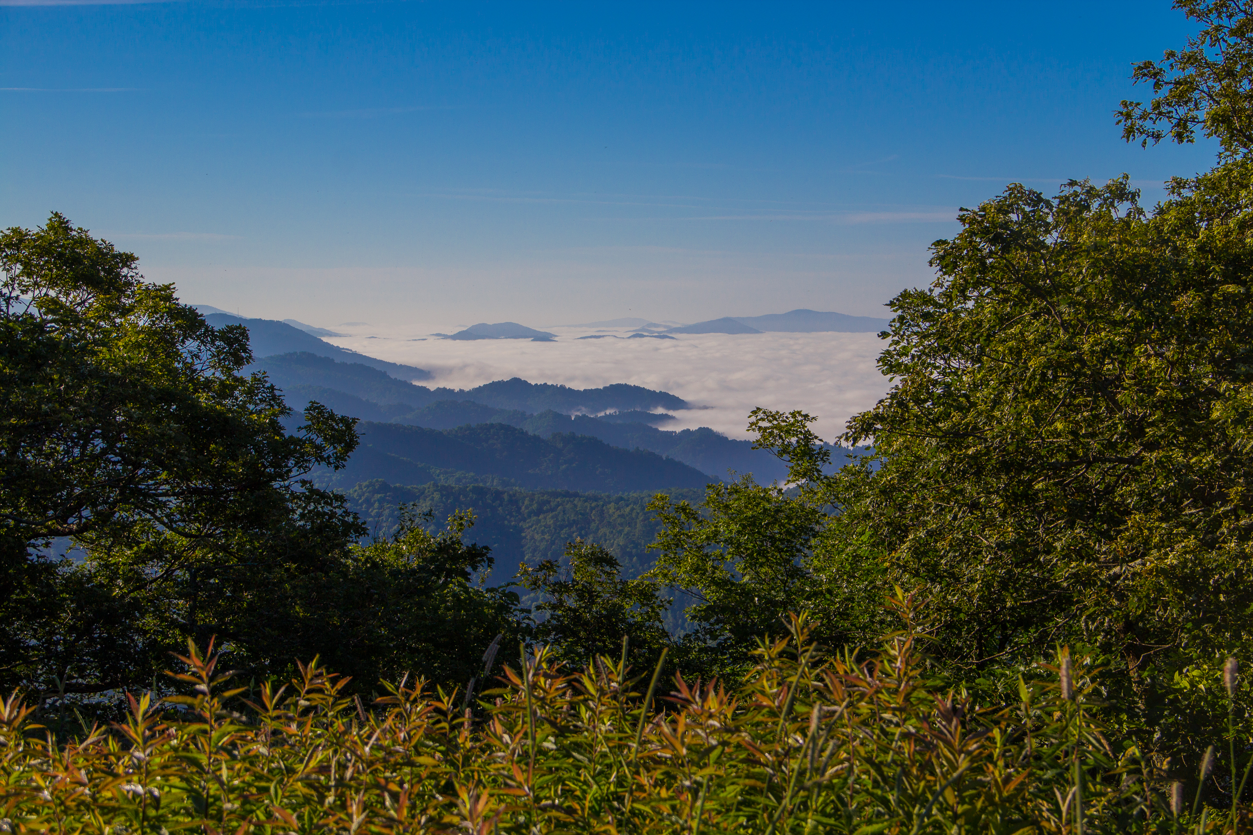
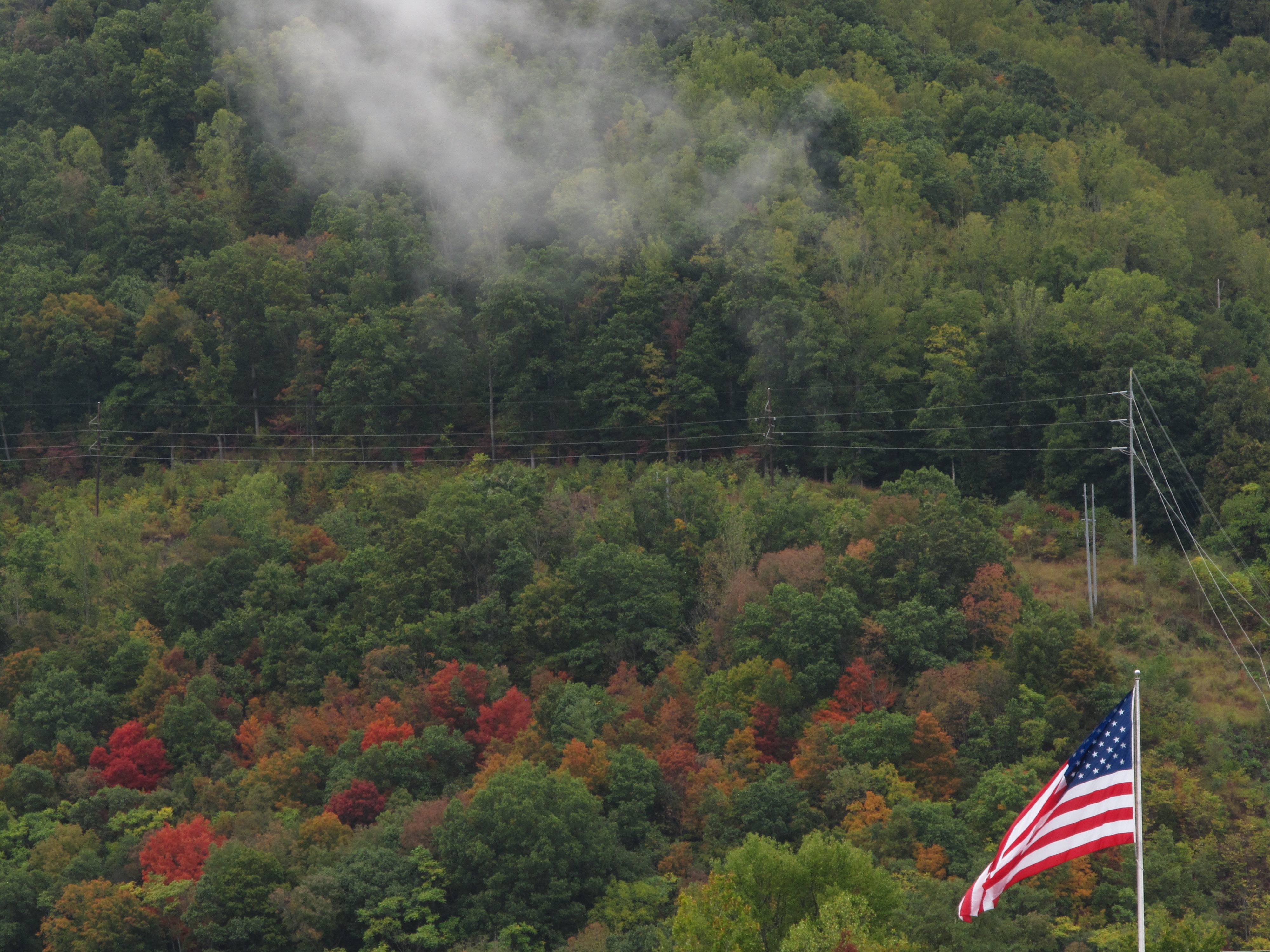
Fog Below Roan Mountain, Pisgah National Forest, North Carolina

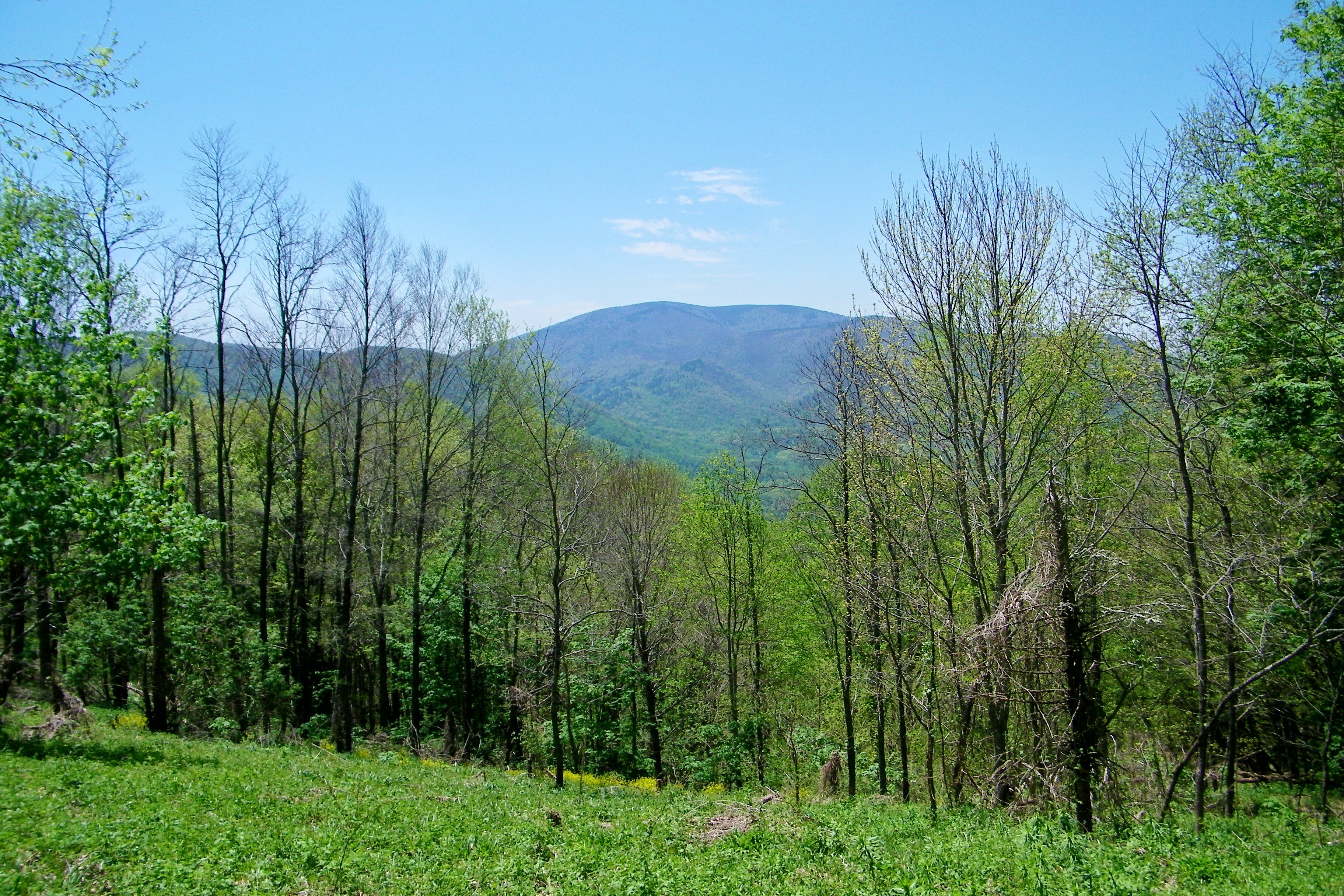
View from Beauty Spot

Little Star!
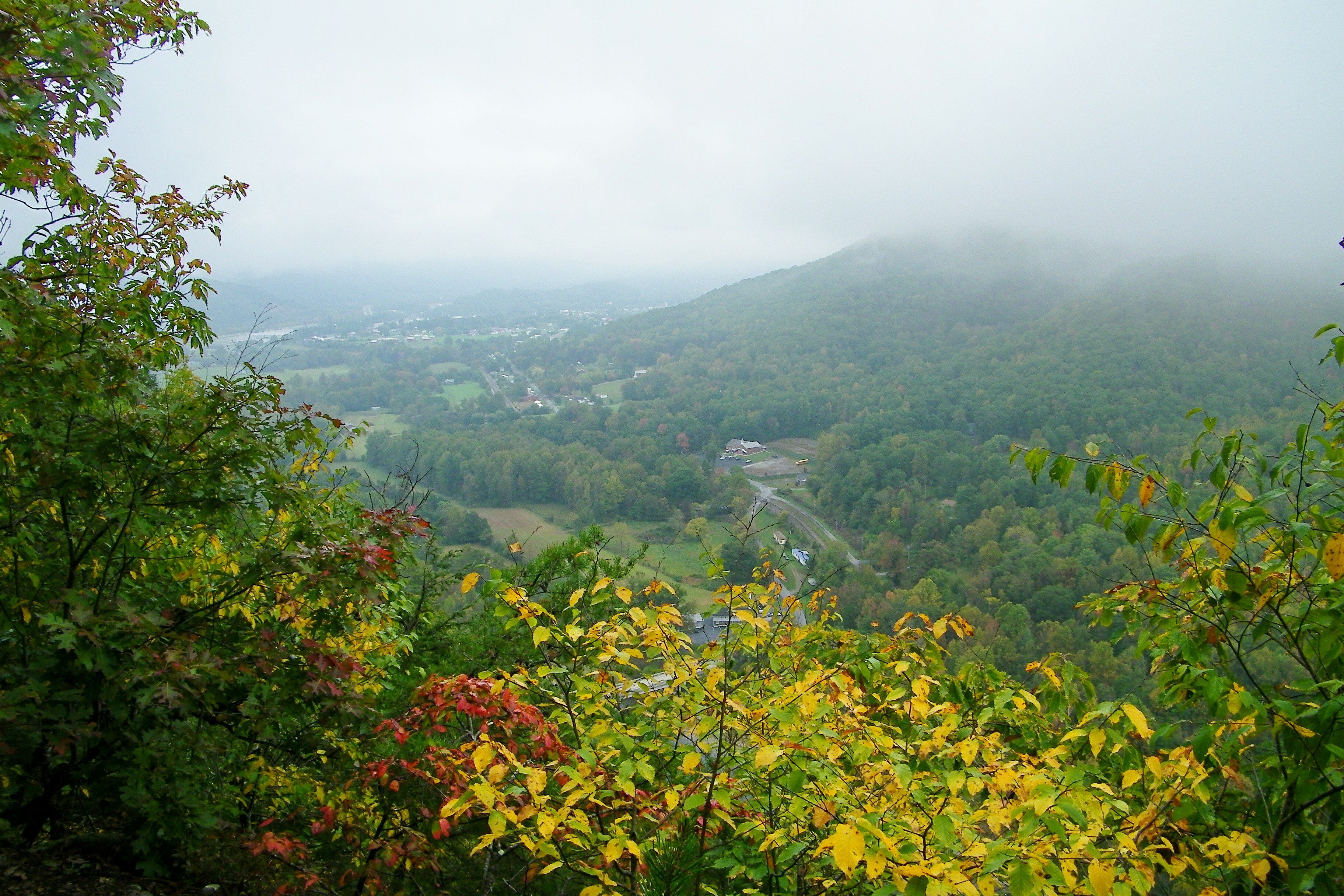
Erwin, TN

View from Beauty Spot
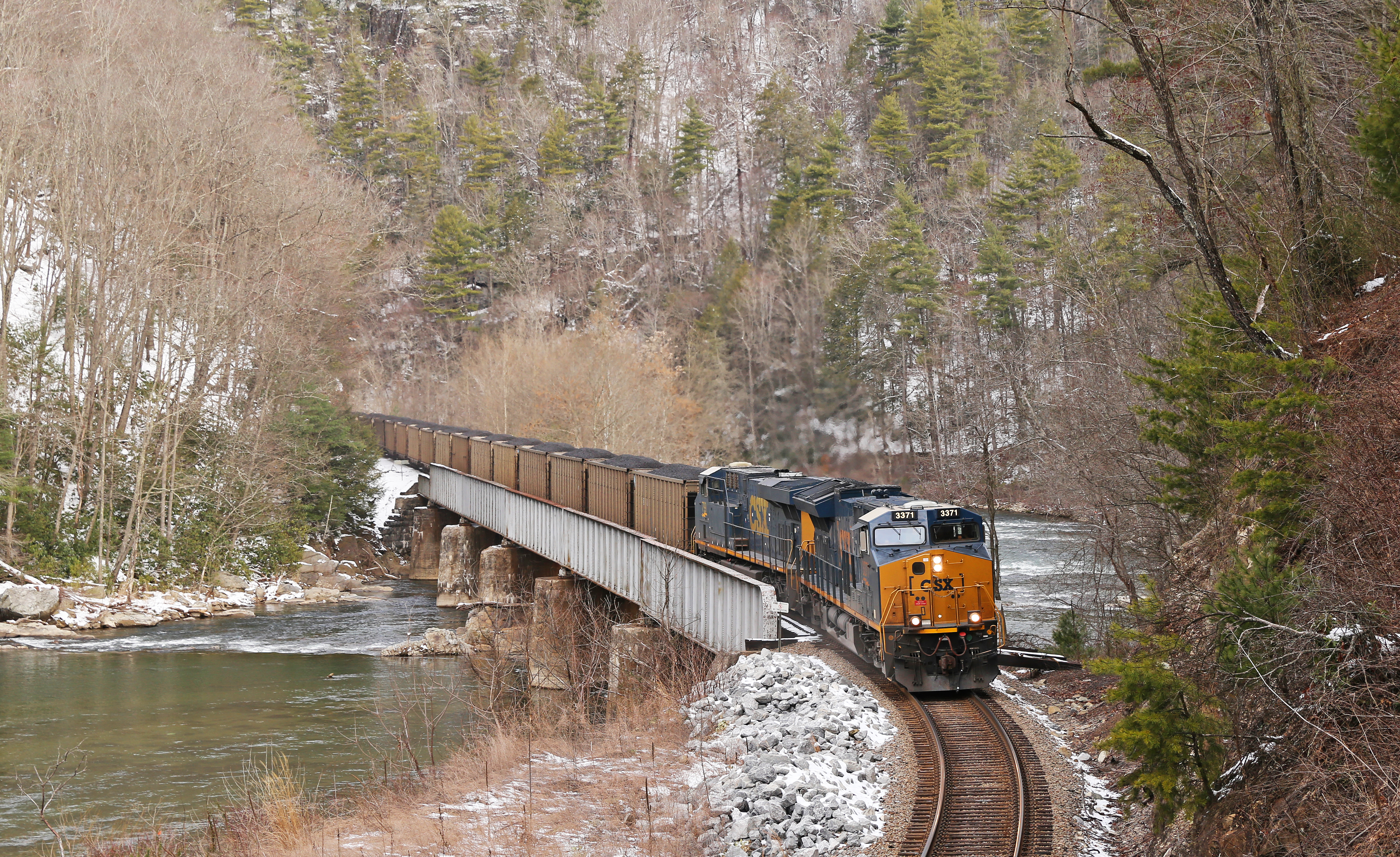
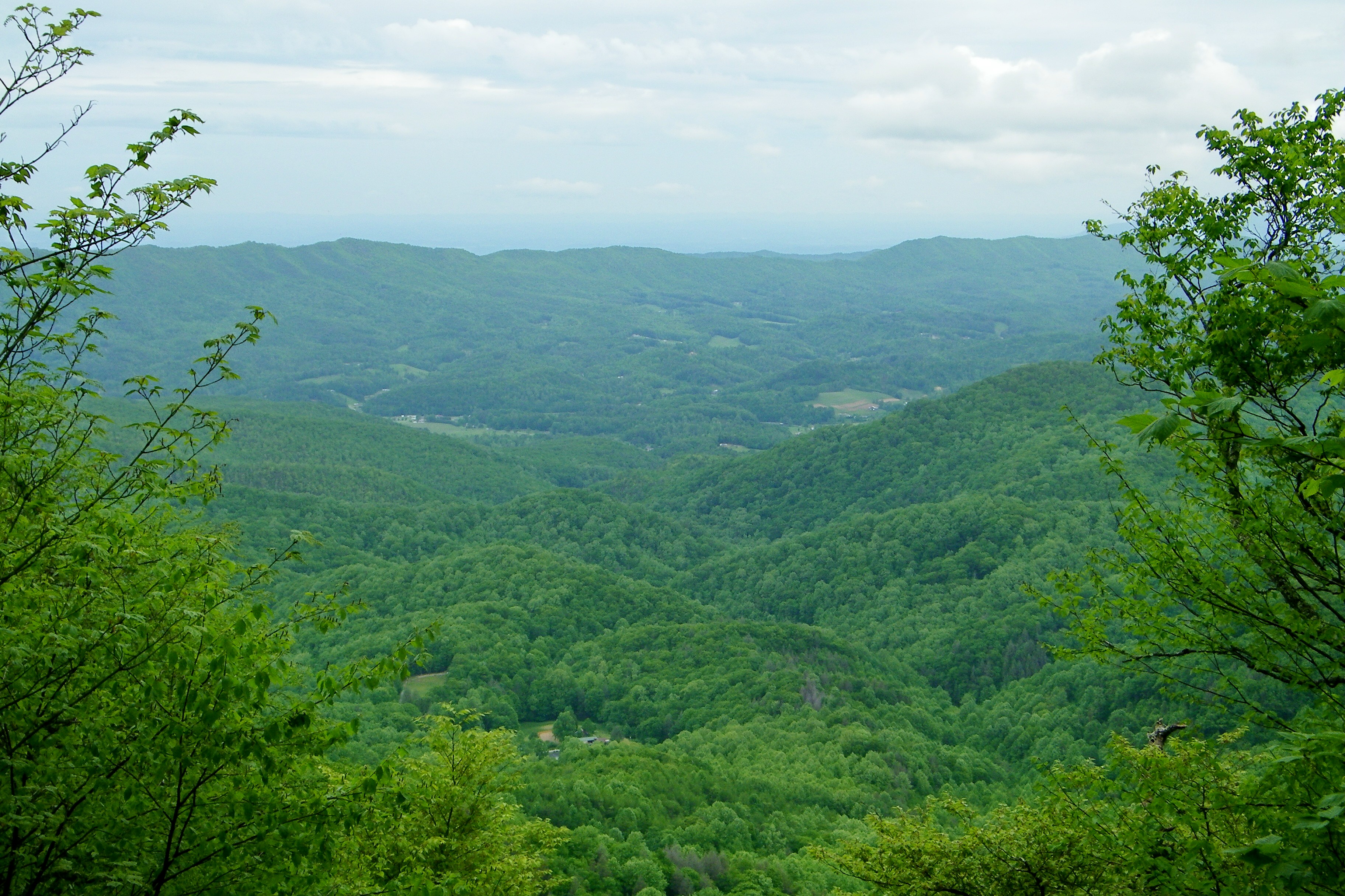
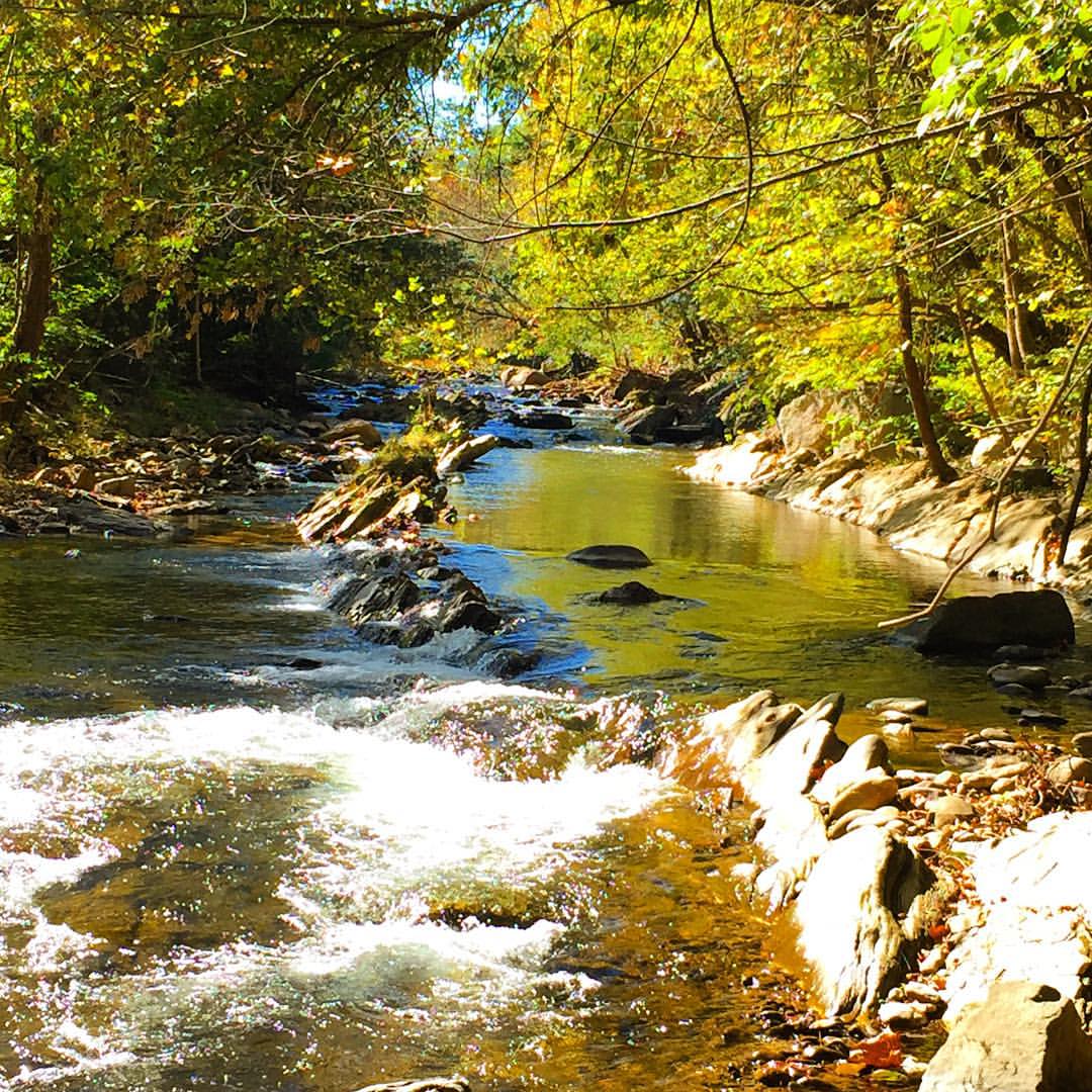
Nolichucky Gorge

Racing Water
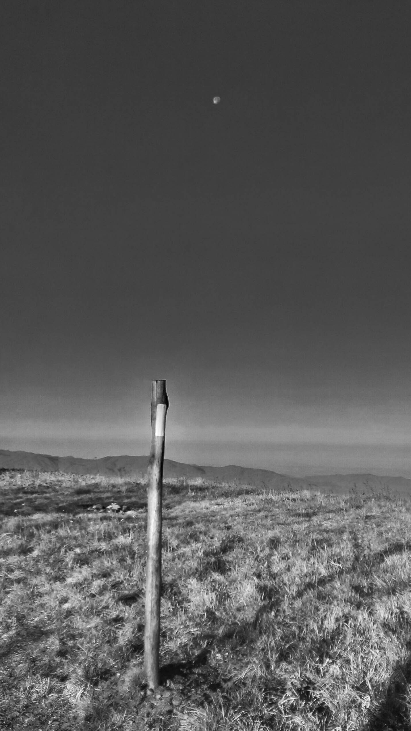
Moon Over White Blaze
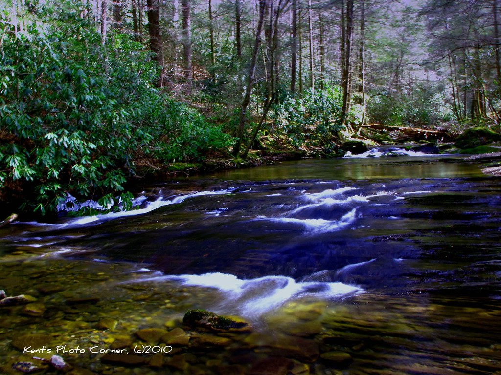
Clear Fork Creek
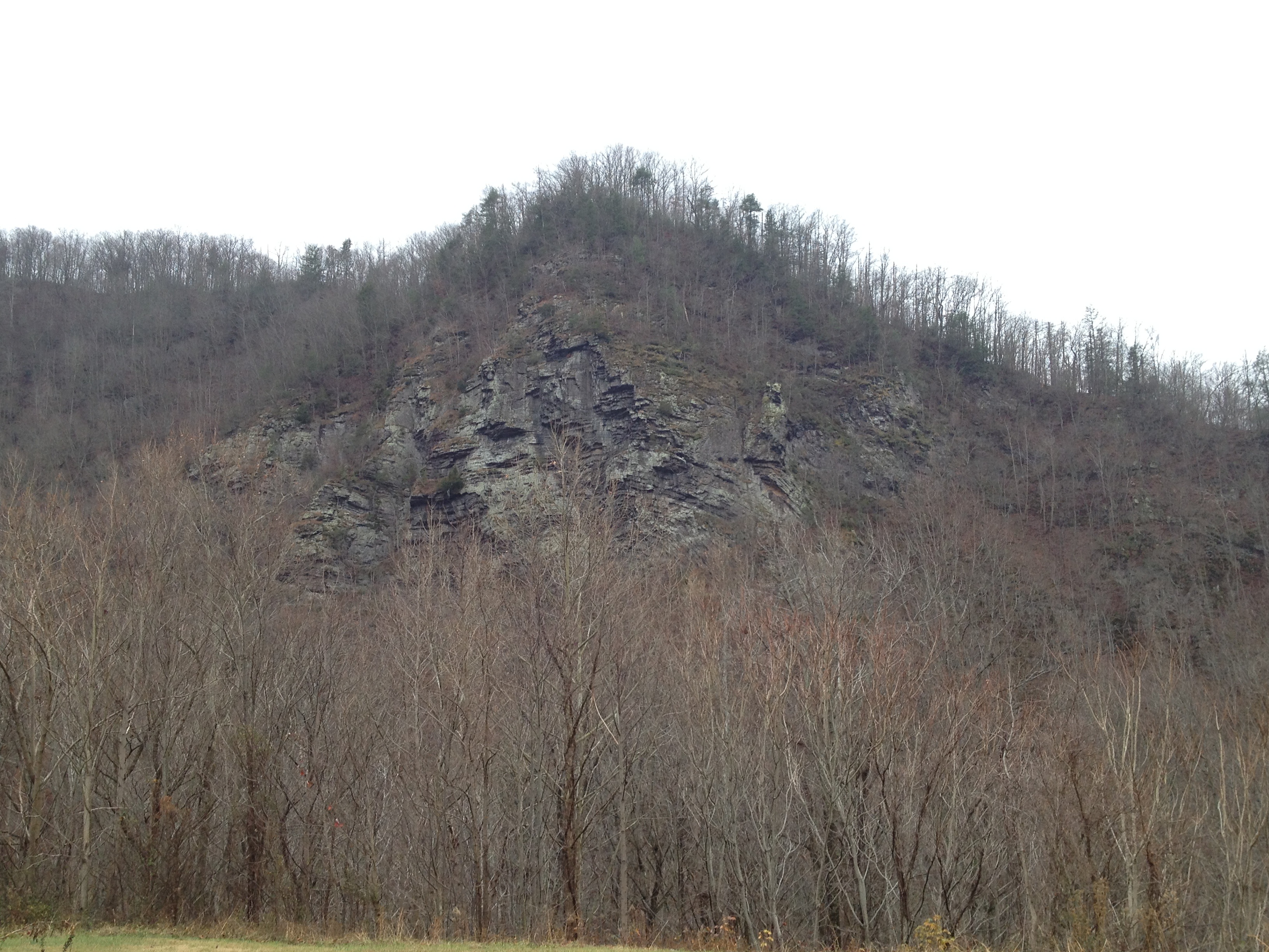
Devils Looking Glass

Spring Sunrise
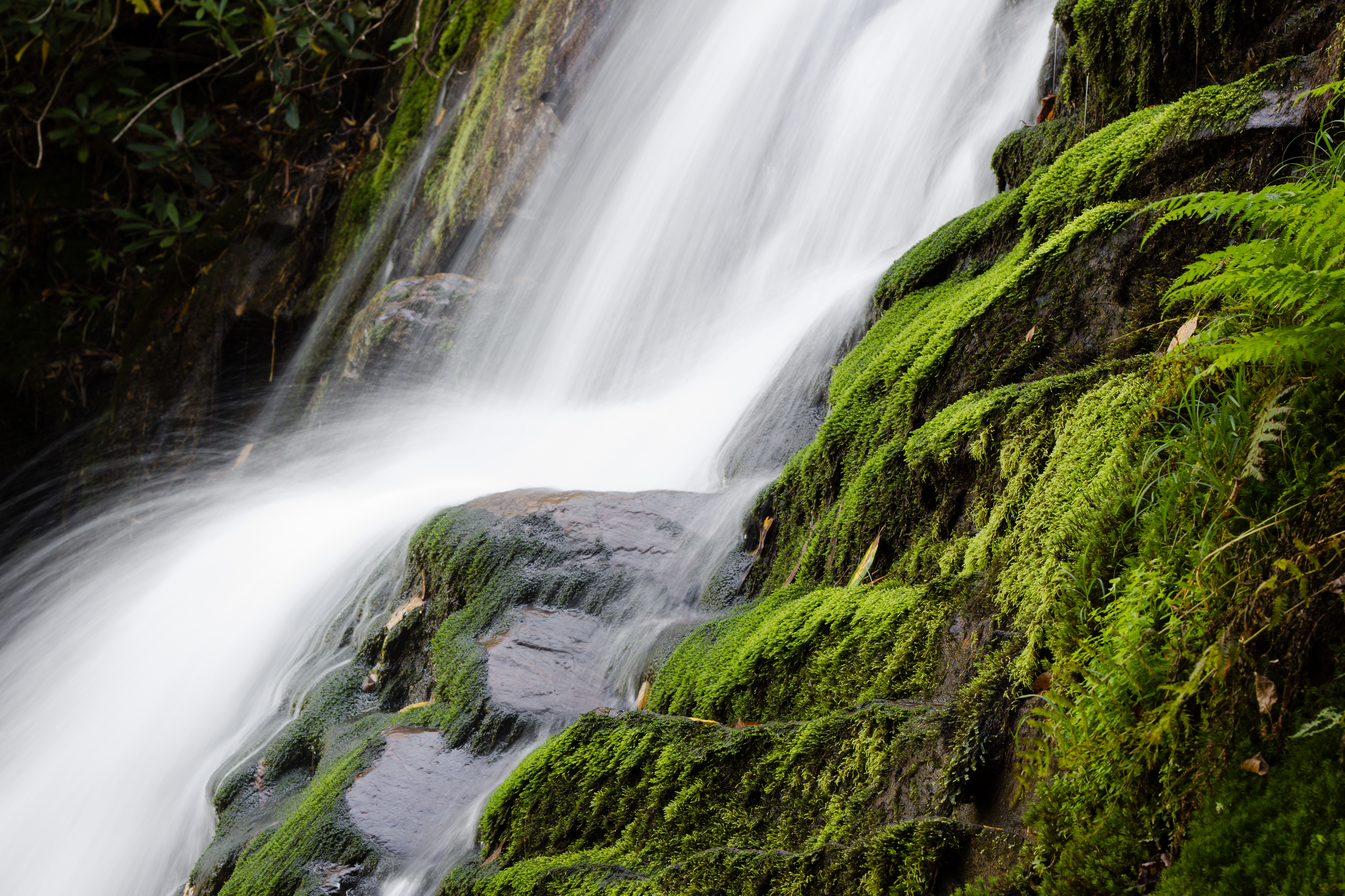
Wet Moss
Dark Hollow Creek
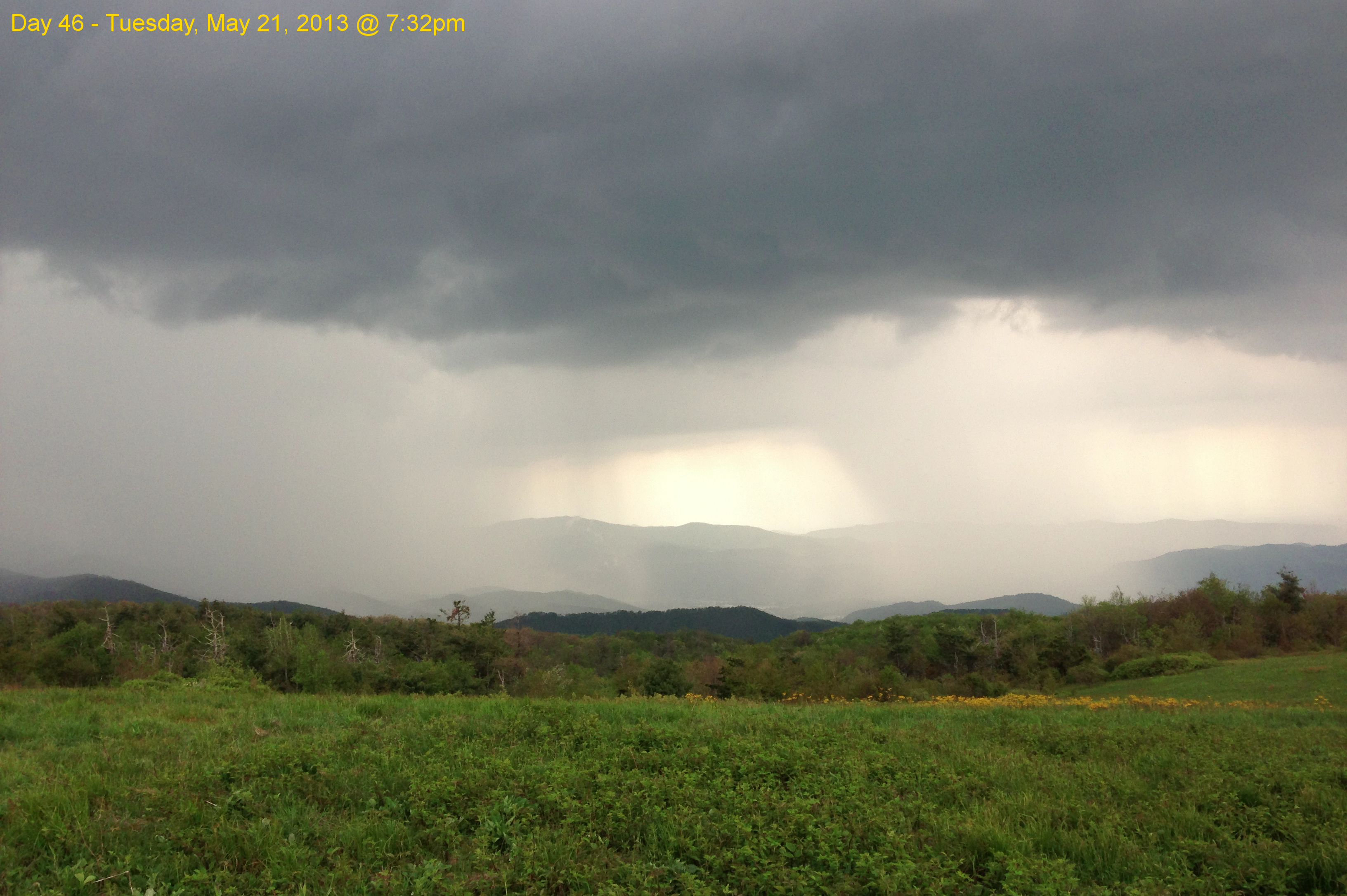
Garry AT Hike 2013-05-21 @ 19-32-39

Nolichucky River
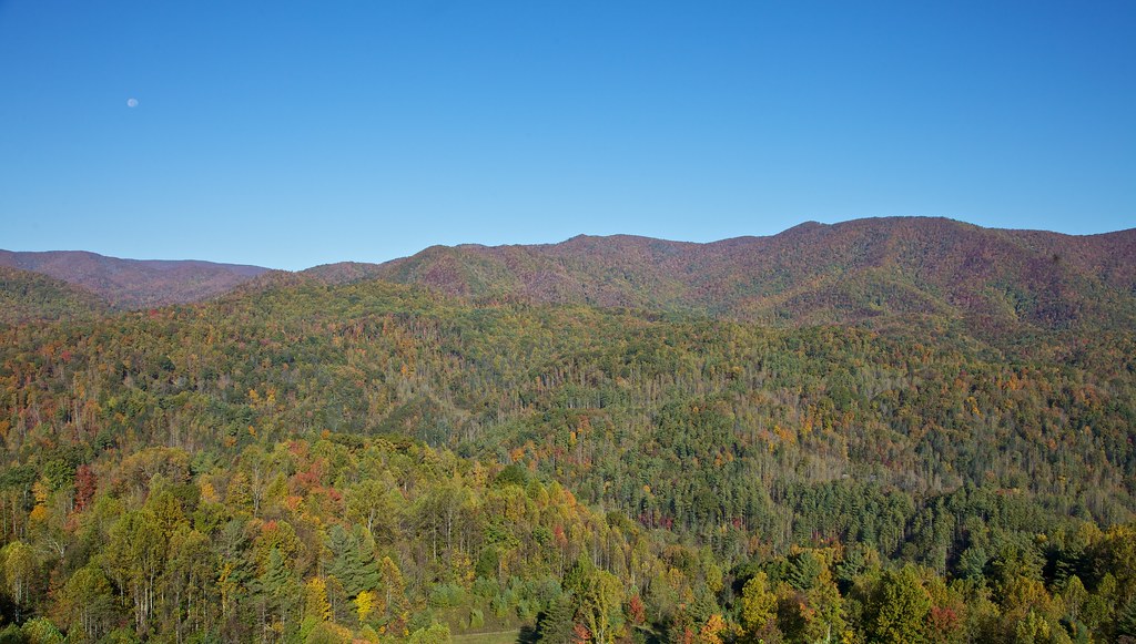
Hints of Fall3

WP_20141124_040.JPG

London would be proud

IMG_9063.JPG
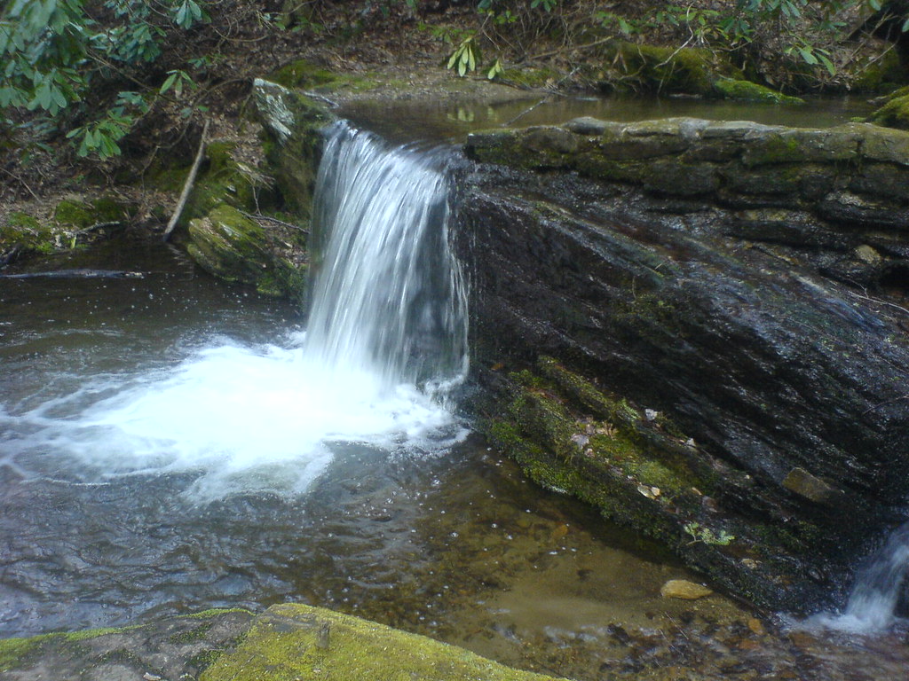
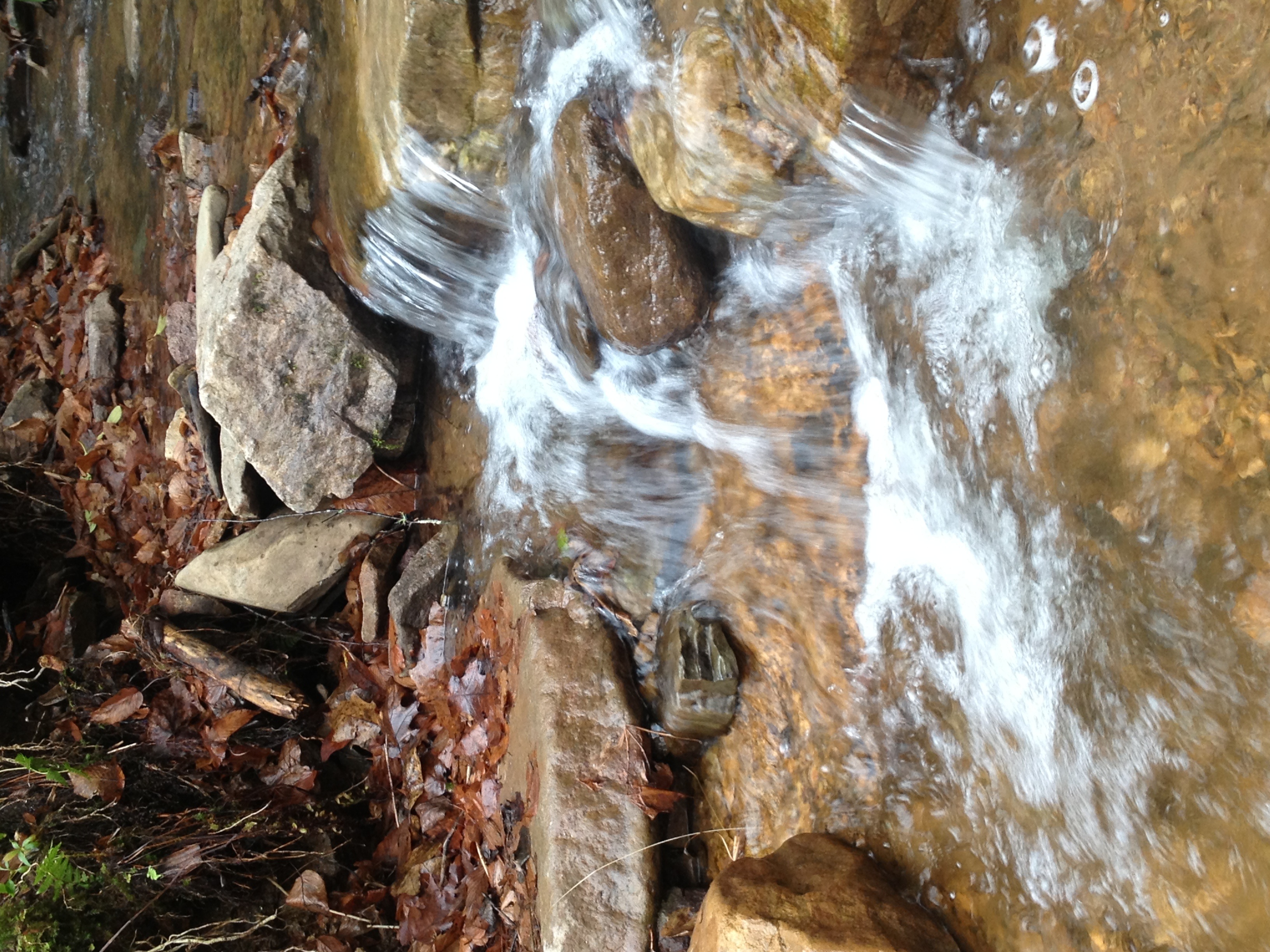
Small Cascade along Sill Branch

Sill Branch Falls
#Nolichucky #Unicoi #erwin #unicoicounty
Topographic Map of Rich Hollow Rd, Erwin, TN, USA
Find elevation by address:

Places near Rich Hollow Rd, Erwin, TN, USA:
906 Diane Ave
Hulen Ave, Erwin, TN, USA
1122 E Erwin Rd
500 Ash St
210 Florida Ave
715 Grove Ave
207 Old Farm Rd
188 Unaka View Dr
1053 Mountainview Rd
721 N Elm Ave
245 Odom Branch Rd
314 N Willow Ave
105 Woodland Dr
1150 Prince Ave
Banner Hill
213 N Willow Ave
203 Odom Branch Rd
318 Unaka Way St
Gilbert Road
217 2nd St
Recent Searches:
- Elevation of Corso Fratelli Cairoli, 35, Macerata MC, Italy
- Elevation of Tallevast Rd, Sarasota, FL, USA
- Elevation of 4th St E, Sonoma, CA, USA
- Elevation of Black Hollow Rd, Pennsdale, PA, USA
- Elevation of Oakland Ave, Williamsport, PA, USA
- Elevation of Pedrógão Grande, Portugal
- Elevation of Klee Dr, Martinsburg, WV, USA
- Elevation of Via Roma, Pieranica CR, Italy
- Elevation of Tavkvetili Mountain, Georgia
- Elevation of Hartfords Bluff Cir, Mt Pleasant, SC, USA