Elevation of Rișculița, Romania
Location: Romania > Hunedoara County >
Longitude: 22.7196142
Latitude: 46.2272022
Elevation: 284m / 932feet
Barometric Pressure: 98KPa
Elevation Map:
Satellite Map:
Related Photos:
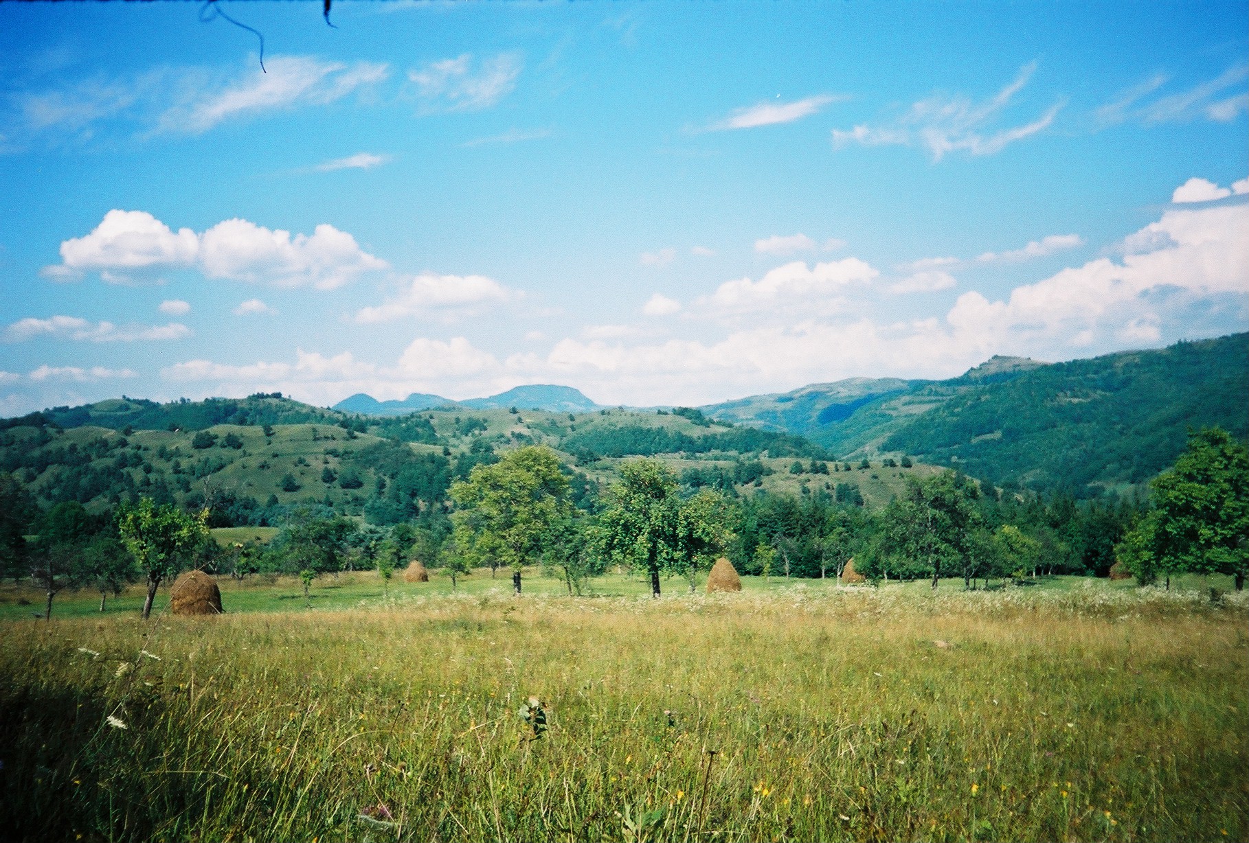
From Brad with love

Pasul Vârfurile

From Brad with love

From Brad with love

From Brad with love

Pasul Vârfurile

From Brad with love

From Brad with love
From Brad with love
From Brad with love

Pasul Vârfurile

Pasul Vârfurile
Vedere de pe dealurile de lângă satul Crişan către Dumbrava (Junc); în zare se profilează dealul/muntele Strâmba

The fragility of our heart

Luncoiu viaduct
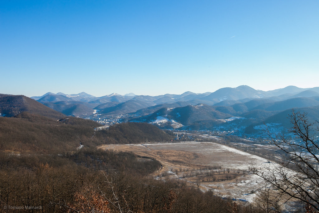
Hills of Brad, Romania

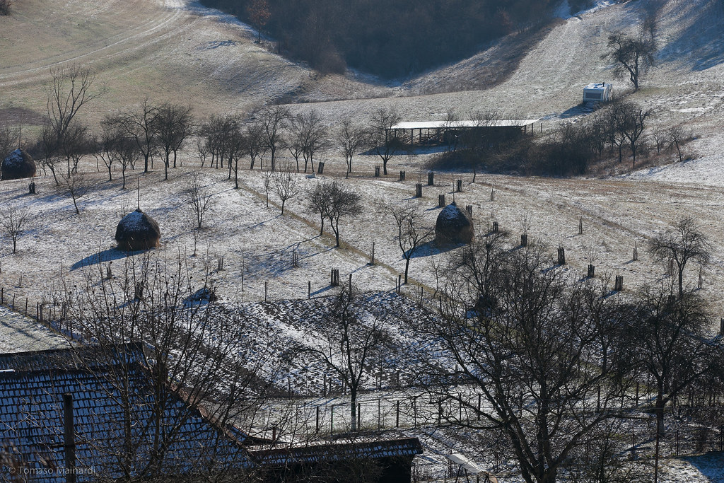
Hills of Brad, Romania

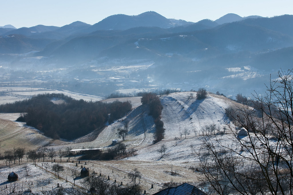
Hills of Brad, Romania

Fogaras - 0284

Luncoiu viaduct
Topographic Map of Rișculița, Romania
Find elevation by address:

Places near Rișculița, Romania:
Bucureșci
Deva
Aleea Streiului
Hunedoara
Hunedoara
Micro 1
Hunedoara
Castelul Corvinilor (corvins' Castle)
Strada Castelului
Hunedoara County
Strada Brazilor
Sălciua
Alba County
Alba Iulia
Alba Iulia
Peleaga
Retezat National Park
Poiana Pelegii
Rau De Mori
Petroșani
Recent Searches:
- Elevation of Corso Fratelli Cairoli, 35, Macerata MC, Italy
- Elevation of Tallevast Rd, Sarasota, FL, USA
- Elevation of 4th St E, Sonoma, CA, USA
- Elevation of Black Hollow Rd, Pennsdale, PA, USA
- Elevation of Oakland Ave, Williamsport, PA, USA
- Elevation of Pedrógão Grande, Portugal
- Elevation of Klee Dr, Martinsburg, WV, USA
- Elevation of Via Roma, Pieranica CR, Italy
- Elevation of Tavkvetili Mountain, Georgia
- Elevation of Hartfords Bluff Cir, Mt Pleasant, SC, USA