Elevation of Rhodell, WV, USA
Location: United States > West Virginia > Raleigh County > >
Longitude: -81.305657
Latitude: 37.6087257
Elevation: 496m / 1627feet
Barometric Pressure: 96KPa
Elevation Map:
Satellite Map:
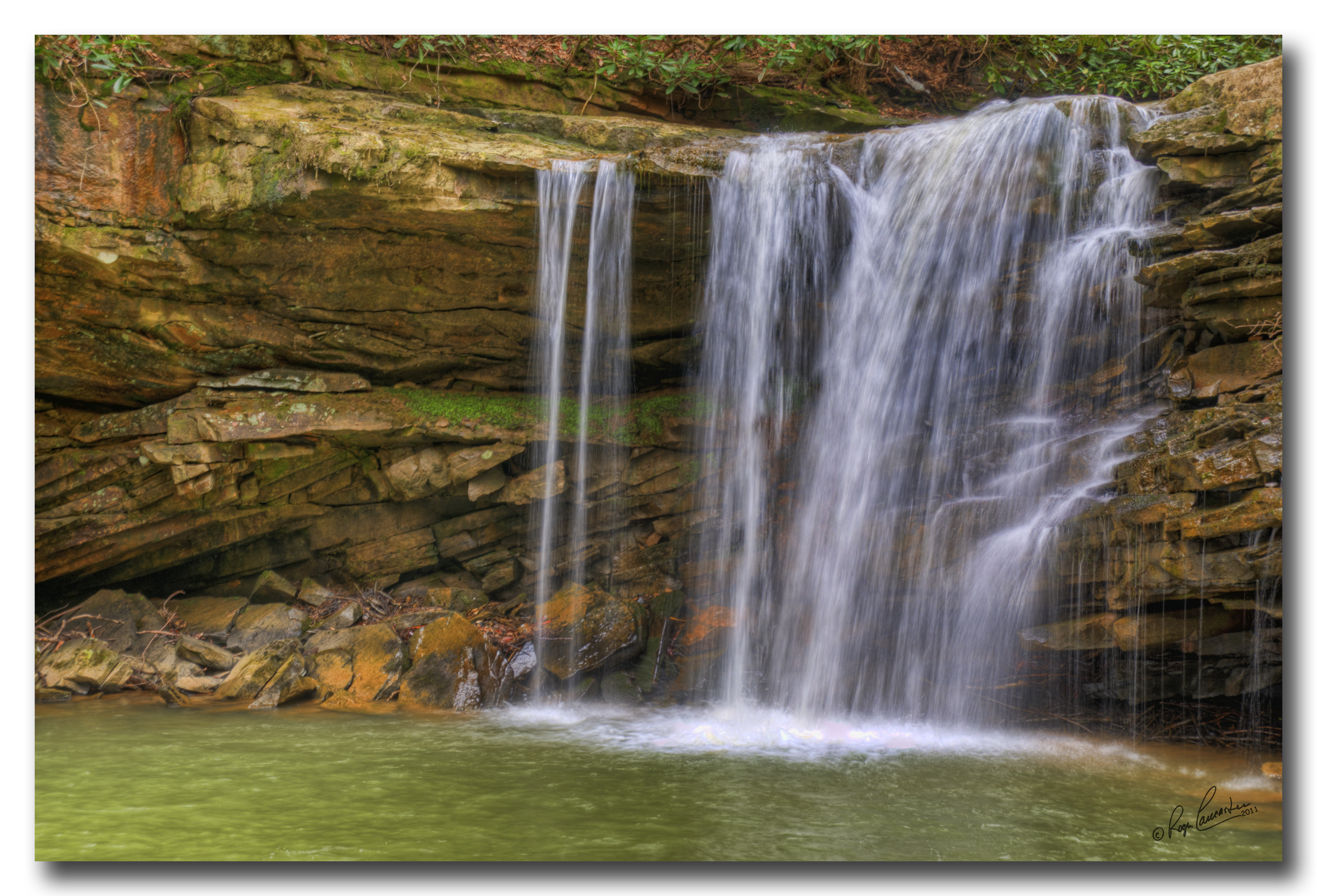
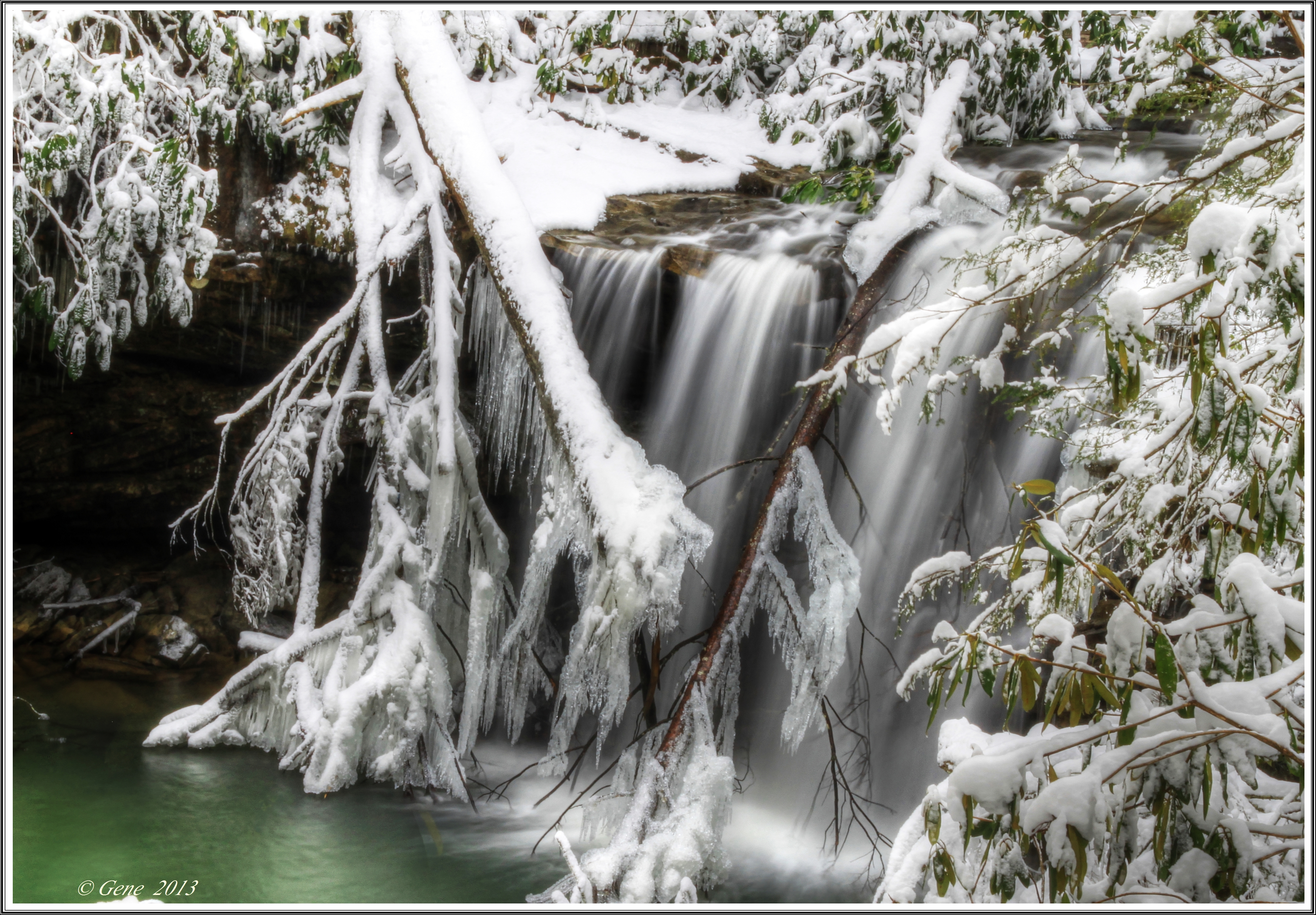
Related Photos:
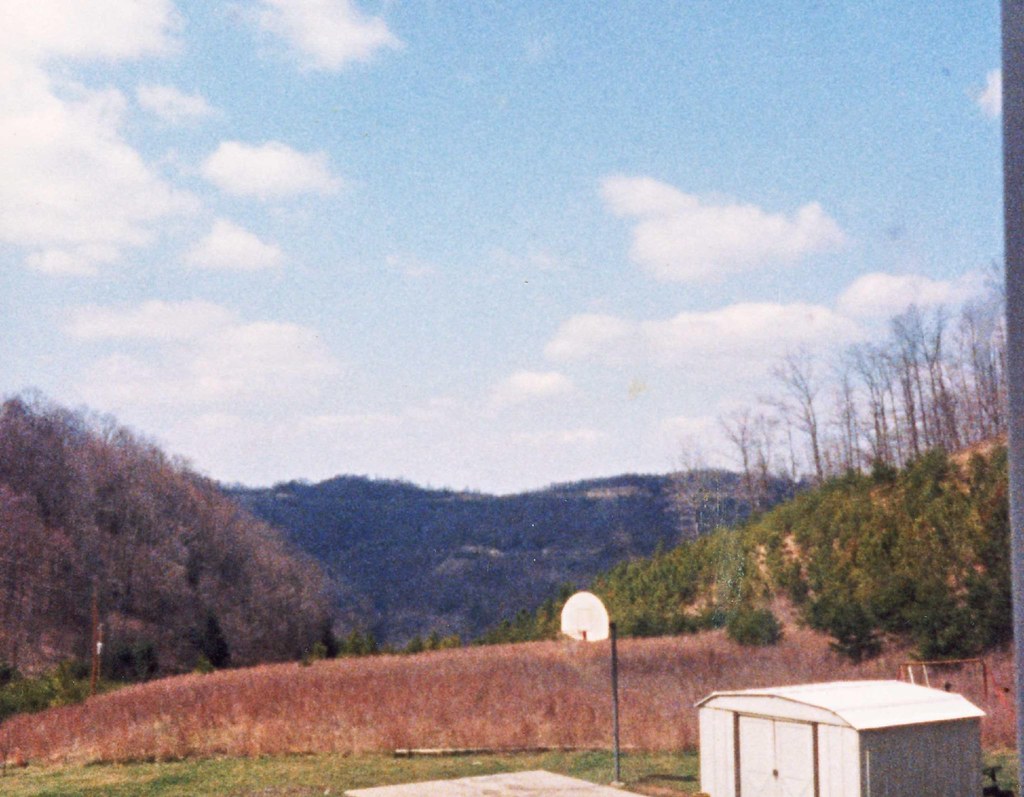
front yard view
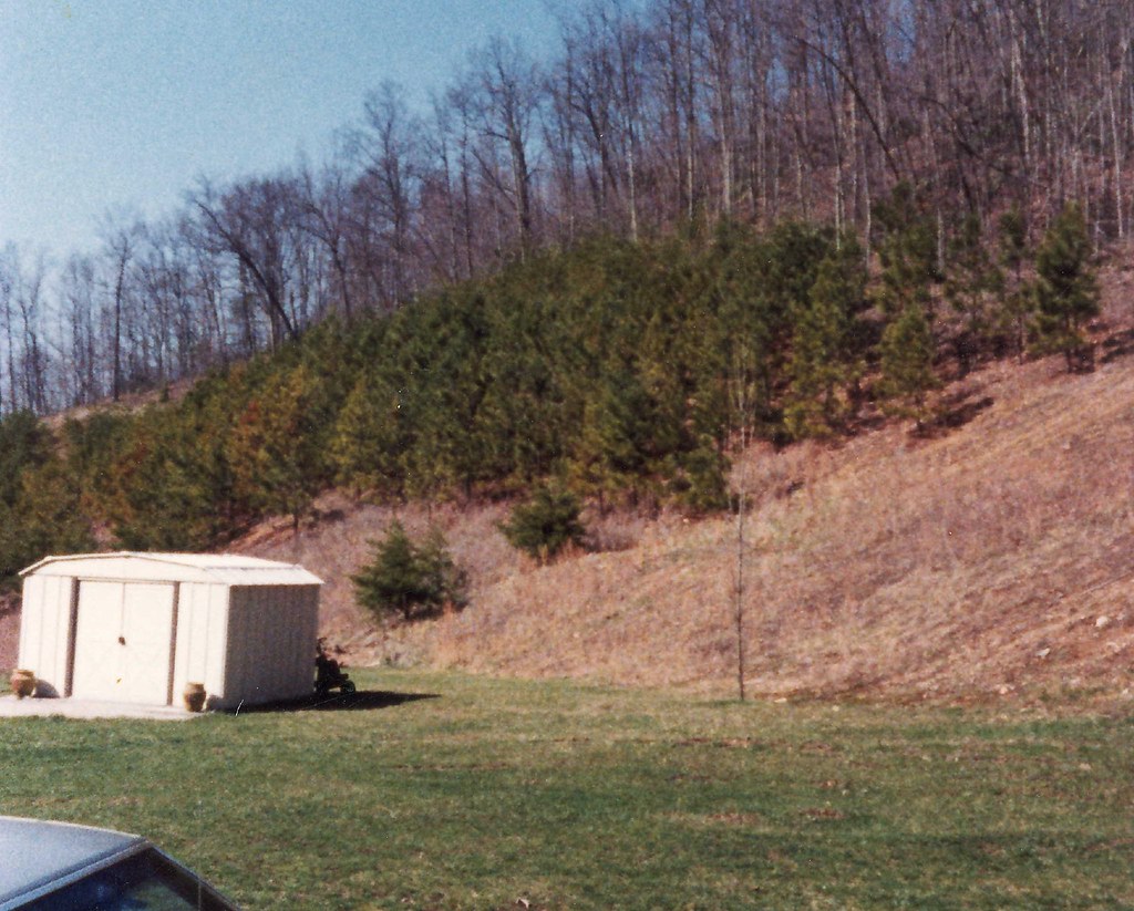
side yard

run when the rhythms right
Into the Pool
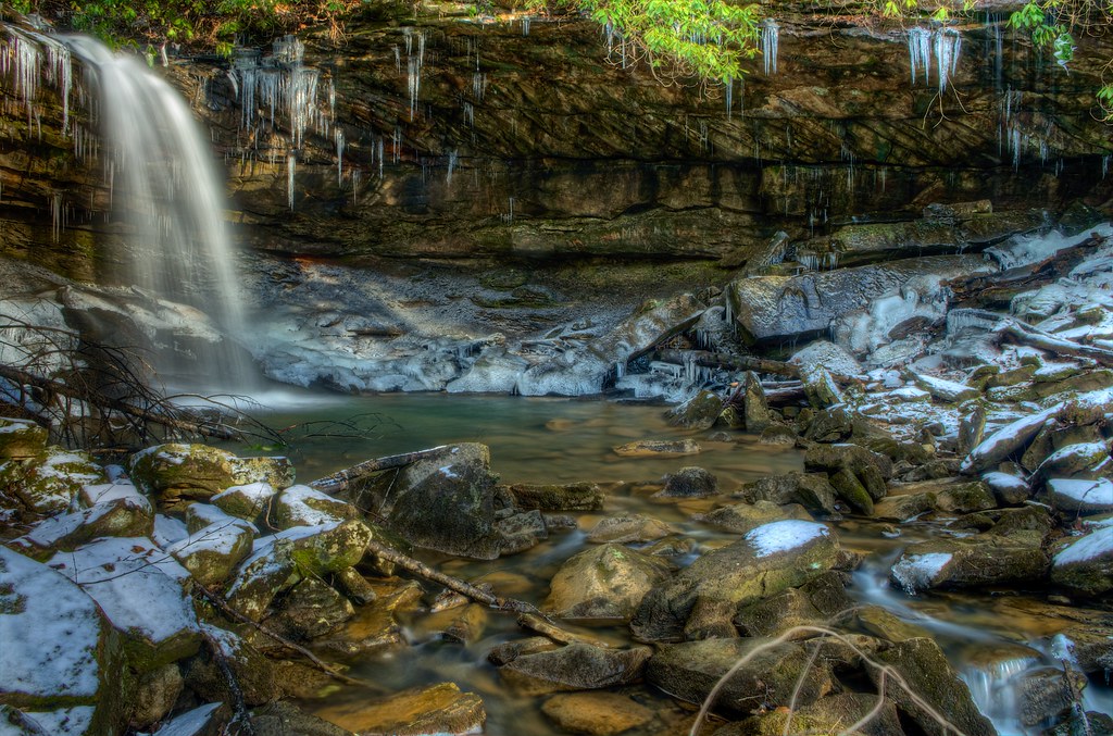
Black Fork Falls 2014

Black Fork Falls

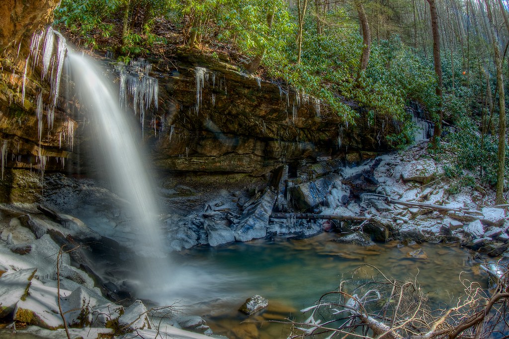
Marsh Fork Falls 2014

Upper Twin Falls 010 HDR

Twin Falls

Twin Falls State Park

Twin Falls

Twin Falls
Marsh Fork Falls, Twin Falls State Park WV
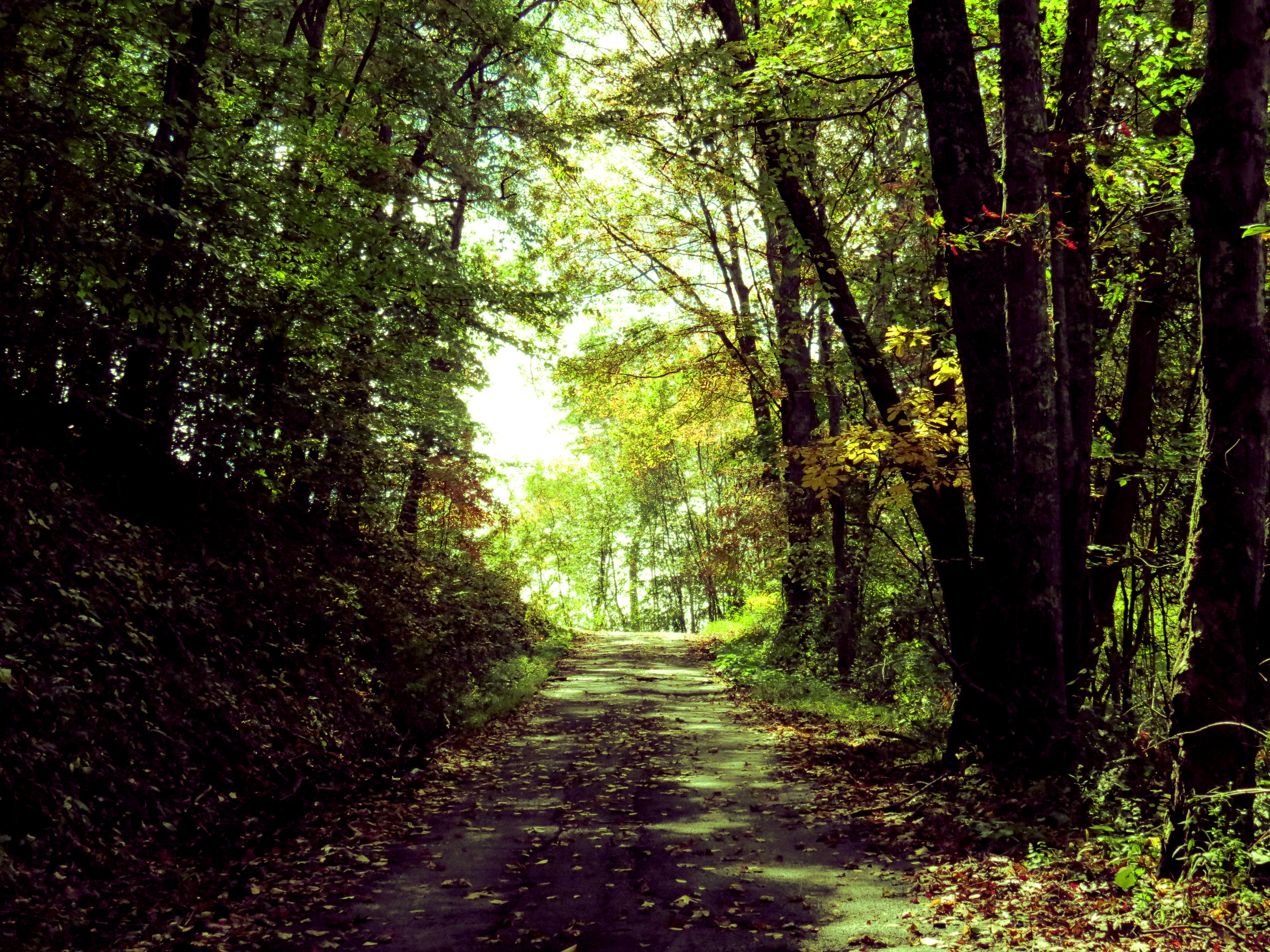
Many Paths to Tread

Twin Falls

Twin Falls
Lower Twin Falls HDR 001

Upper Twin Falls 001 HDR

Twin Falls

Twin Falls

Twin Falls

Twin Falls

Twin Falls State Park
Topographic Map of Rhodell, WV, USA
Find elevation by address:

Places in Rhodell, WV, USA:
Places near Rhodell, WV, USA:
Amigo
Devlin Rd, Odd, WV, USA
Stephenson
Stephenson, WV, USA
Barkers Ridge
Mullens
Moran Ave, Mullens, WV, USA
504 Brammer St
930 Cook St
1000 Guyandotte Ave
1000 Guyandotte Ave
1233 Guyandotte Ave
1, WV, USA
Piedmont Rd, Matoaka, WV, USA
Appalachian Highway
Appalachian Highway
Pineville
2, WV, USA
Fci Mcdowell
Recent Searches:
- Elevation of Corso Fratelli Cairoli, 35, Macerata MC, Italy
- Elevation of Tallevast Rd, Sarasota, FL, USA
- Elevation of 4th St E, Sonoma, CA, USA
- Elevation of Black Hollow Rd, Pennsdale, PA, USA
- Elevation of Oakland Ave, Williamsport, PA, USA
- Elevation of Pedrógão Grande, Portugal
- Elevation of Klee Dr, Martinsburg, WV, USA
- Elevation of Via Roma, Pieranica CR, Italy
- Elevation of Tavkvetili Mountain, Georgia
- Elevation of Hartfords Bluff Cir, Mt Pleasant, SC, USA