Elevation map of Reventador, Ecuador
Location: Ecuador > Napo >
Longitude: -77.655833
Latitude: -0.0775
Elevation: 3098m / 10164feet
Barometric Pressure: 69KPa
Elevation Map:
Satellite Map:
Related Photos:

La Cascada San Rafael
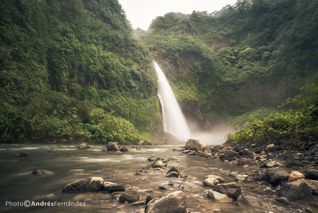
Cascada Mágica
Topographic Map of Reventador, Ecuador
Find elevation by address:

Places near Reventador, Ecuador:
San Rafael Waterfall
Cayambe Coca Ecological Reserve
Santa Rosa De Quijos
Rio Quijos
El Chaco
Gobierno Parroquial De San Francisco De Borja
Oyacachi
Baeza
Volcan Sumaco
Quijos
Cuyuja
Guango Lodge
Cosanga
Wildsumaco Lodge
Cabañas San Isidro
Termas De Papallacta
Papallacta
Volcano Antisana
Antisana
Checa
Recent Searches:
- Elevation of Corso Fratelli Cairoli, 35, Macerata MC, Italy
- Elevation of Tallevast Rd, Sarasota, FL, USA
- Elevation of 4th St E, Sonoma, CA, USA
- Elevation of Black Hollow Rd, Pennsdale, PA, USA
- Elevation of Oakland Ave, Williamsport, PA, USA
- Elevation of Pedrógão Grande, Portugal
- Elevation of Klee Dr, Martinsburg, WV, USA
- Elevation of Via Roma, Pieranica CR, Italy
- Elevation of Tavkvetili Mountain, Georgia
- Elevation of Hartfords Bluff Cir, Mt Pleasant, SC, USA